







Rice and castles
This easy and flowing route passes natural areas such as the "Baraggia Nature Reserve" in Candelo, an evocative "European savannah", the Bessa Nature Reserve, a gold mine from the Roman era, and expanses...
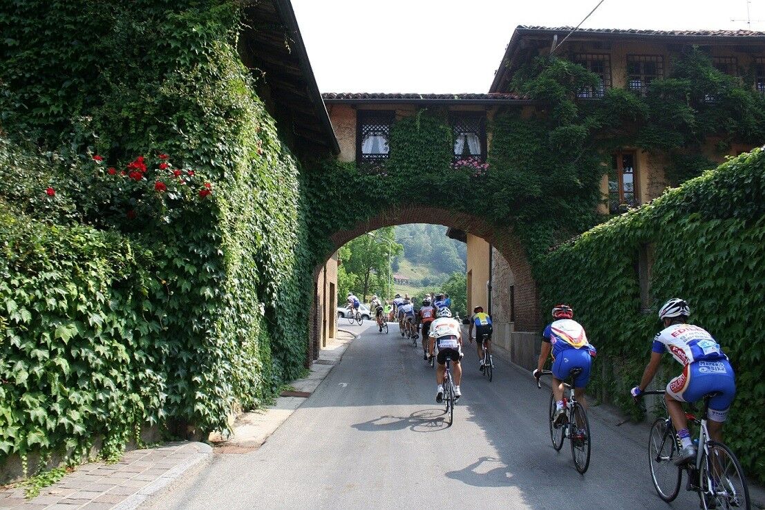
This easy and flowing route passes natural areas such as the "Baraggia Nature Reserve" in Candelo, an evocative "European savannah", the Bessa Nature Reserve, a gold mine from the Roman era, and expanses of rice fields rich in local birdlife. Along the way you also come across a number of castles that evoke the atmosphere of a plunge into the past. On a clear day you can admire a splendid panorama of the Biellese Alps and the morainic hill of the Serra.
Km. Place Information 0.0 Biella - Departure in front of Pizzeria Lucciola in P.zza Stazione head south. First roundabout: Left for Candelo - Ricetto (fortified village) Car park at Biella San Paolo railway station; equipped for campers with loading and unloading. 4.1 Candelo - P.zza del Ricetto >br /< Follow signs for Castellengo, Via Roma. 14th-century medieval fortified village of Candelo. Passage through the Baraggia Nature Reserve. Fountain. 10.3 Follow the SP 307 main road for Mottalciata. Bypass for the Castle of Castellengo and the Ecomuseum of Castellengo. 14.5 Mottalciata - Straight on, cross the junction, then SS 232 to the left and then immediately right for Canton Juli. Rice fields and opportunity to see the local birdlife. 16.7 Castelletto Cervo >br /< Concrete passage over the Cervo stream. Immediately after the ford, go righ towards Buronzo. After the ford of the Cervo, take the bypass for the Castle of Castelletto Cervo Expanses of rice fields. Local birdlife. 17.6 Towards Buronzo 21.0 Buronzo >br /< Proceed along S.P. 62 towards Vercelli–Santhià. Panorama of the Biellese Alps and the straiglt line of the morainic hill of the Serra to the west. 26.6 Roundabout: towards Carisio 29.1 Roundabout: towards Salussola-Arro Expanse of rice fields. 37.9 Salussola >br /< Left subway for Salussola. Next roundabout go towards Vercelli. After the bridge over the Elvo. 38.3 Right towards Cerrione. Fountain at the fork for Cerrione. 42.6 Cerrione >br /< Right towards Biella Uphill variant in Cerrione for the Castle of Cerrione and the Bessa Nature Reserve. 44.6 Left towards Ponderano-Biella. 53.0 Biella - Right then always straight on. 54.5 Biella - Arrival. Arrival at the Biella San Paolo railway station. Fountain in the camper van area.>br /<


Baragge Nature Reserve>br /< Medieval fortification of Candelo>br /< Castle of Castellengo>br /< Castle of Castelletto Cervo>br /< Bessa Nature Reserve>br /< Tourist information on the website of the Local Tourist Agency of Biella - ATL Biella www.atl.biella.it
Oblíbené prohlídky v okolí
-
3.0
Via Francigena Etappe 5
středníTuristika 36.7 km -
Chiaverano - Church of Santo Stefano di Sessano
středníMountainbike 27.4 km -
IVREA Ivrea - Viverone Route
středníCyklistika na velkou vzdálenost 52.4 km -
Ring of the Ancient Balteo Glacier - stage 4
středníCyklistika na velkou vzdálenost 51.0 km -
MAZZE' Lake Candia and Masino Castle Loop
středníJízda na kole 44.8 km -
IVREA Ivrea Morainic Ridge ring
středníCyklistika na velkou vzdálenost 50.6 km -
Cyclotouristic ring north of Turin - stage 2
středníCyklistika na velkou vzdálenost 59.4 km -
Cammino di Oropa della Serra
středníPoutní stezka 62.9 km -
Alta Via dell'Anfiteatro Morenico di Ivrea: Stage 2 Lake Bertignano - Masino Castle
středníTuristika 18.5 km -
Via Francigena for all | Ivrea- Viverone section
středníPoutní stezka 20.1 km
Pěší turistika a stopování


Nenechte si ujít nabídky a inspiraci pro vaši příští dovolenou
Vaše e-mailová adresa byl přidán do poštovního seznamu.





