







Alta Via dell'Anfiteatro Morenico di Ivrea: Stage 2 Lake Bertignano - Masino Castle

The itinerary covers 18.50 km with an average journey time of 6 hours and a height difference of about 20 meters (departure altitude: 323 meters and arrival altitude: 400 metres). The itinerary winds its...
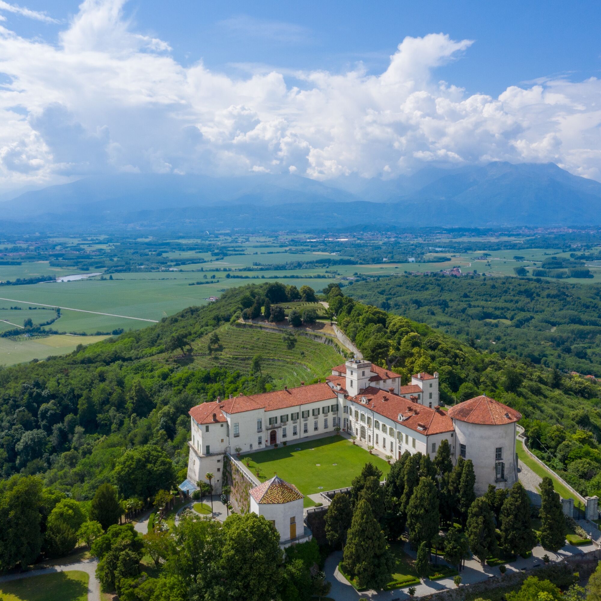
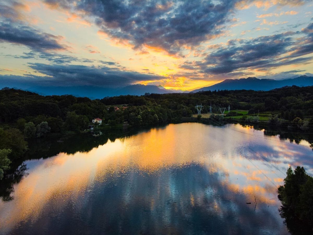
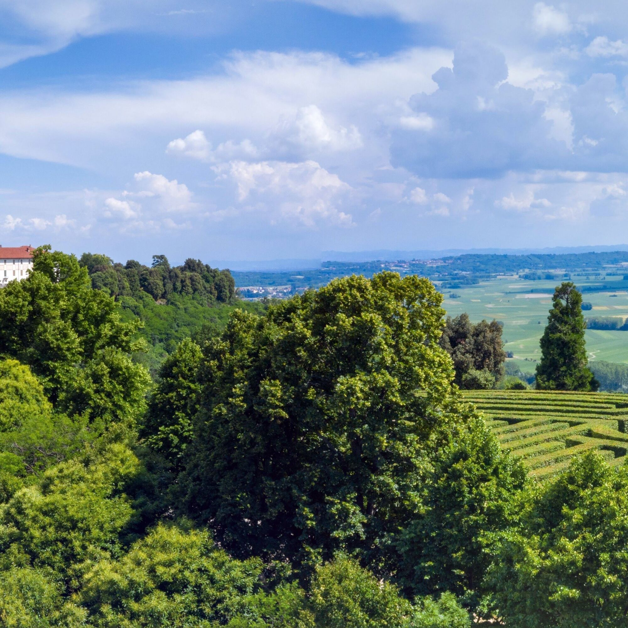
The itinerary covers 18.50 km with an average journey time of 6 hours and a height difference of about 20 meters (departure altitude: 323 meters and arrival altitude: 400 metres). The itinerary winds its way from Lake Bertignano, small lake basin at an altitude of 377 m near the hamlet of the same name north-east of Viverone. Traveling along the frontal moraine, it touches the beautiful villages of Roppolo, Cavaglià and Cossano Canavese. In Roppolo, the castle (private property, accessible to the public) is interesting, as is the itinerary to discover the remains of ancient Longobard fortifications which once served to contain and limit enemy invasions, today scattered in the woods. The stage embraces Lake Viverone, without ever getting close to it, offering splendid panoramic views, up to the short and easy climb to the Castle of Masino - a FAI property - with a magnificent view over the valley. Here it is worth visiting the flight of halls and, outside, the large and very green park with the fascinating labyrinth, the second largest in Italy. The itinerary was promoted within the platform as part of the PITEM M.I.T.O. project. – Outdoor OFF - Interreg Italy-France Cross-Border Cooperation Program ALCOTRA 2014-2020.


We go along the asphalt road that skirts Lake Bertignano on the right until reaching a white shrine where we continue on the left on a natural terrain road. Further on we go right and, leaving the stretch of water behind us, proceed towards the village of S. Vitale. At the crossroads near the homonymous church, we take the asphalt road to the right for Roppolo. At 24.34 km we keep left (via San Vitale) and further on go left again. When we arrive in front of a small church we keep to the right, then turn into via Pioglio and when we reach a bend we proceed along the cartroad in front of us. After several crossroads, we reach the Pioglio pond and then the SS228. We follow it on the left towards Cavaglià and then take the SP421. Ignoring the detours to C.na Colombino and Corbellina/Lovizzo we reach the crossroads near the Emanuele di Bricherasio foundation where we go straight on a dirt road. At the top of the climb, we turn left leaving the clearly visible Castle of Morzano behind us. The path crosses the C.na Loggie Piana and then reaches the former ammunition depot (armoury). We cross the SP41 and follow the dirt road which, bypassing the Bric della Vigna, leads over the tunnel of the Santhià - Ivrea motorway link road. Always following the wooden signs and posts, we pass north of Bric Mezzacosta and then arrive at Sapel da Bras where we descend to the left. At the next crossroads, we go right. Continuing straight on, we pass near the ruins of the church of S. Dalmazzo di Erbario and then reach the provincial road that connects Borgo d'Ale with Cossano Canavese. We follow it to the right and then take a road on the left that soon becomes a dirt road. We keep right near a wooden cross until reaching the locality "Lusenta 1". By continuing straight on you can cut out a large part of the route (that is, the whole part that takes us to Masino). If we want to complete the whole route, we will instead go right on the cartroad that leads uphill to the locality of Baruna. Here, we turn right, so keeping to the left twice we head to the road that leads to Masino. Proceed as far as the bend where there is a boundary wall and then take the dirt road on the left with the indication "Lusenta 2". Those who wish to see the castle of Masino (about a 1.4 km round trip) can reach it with a small diversion by following the asphalt road.
Simple mtb equipment is recommended.
Good
The Castle of Masino can be reached by own means from the Albiano motorway exit on the A4 link road.
Public transport service.
Public pay parking in the municipalities of Roppolo and Cavaglià.
Recommended period: from April to October Not to be missed, a visit to the Castle and the park of Masino, with the magnificent labyrinth and spectacular panoramic view of the Canavese valley.
Oblíbené prohlídky v okolí
-
3.0
Via Francigena Etappe 5
středníTuristika 36.7 km -
CANDIA Lake Candia MTB loop
světloMountainbike 10.8 km -
Chiaverano - Church of Santo Stefano di Sessano
středníMountainbike 27.4 km -
IVREA Ivrea - Viverone Route
středníCyklistika na velkou vzdálenost 52.4 km -
Ring of the Ancient Balteo Glacier - stage 4
středníCyklistika na velkou vzdálenost 51.0 km -
CALUSO Lake Candia Loop Morena West
středníJízda na kole 31.0 km -
MAZZE' Anello Mazzè - Strambino
středníCyklistika na velkou vzdálenost 41.3 km -
MAZZE' Lake Candia and Masino Castle Loop
středníJízda na kole 44.8 km -
IVREA Ivrea Morainic Ridge ring
středníCyklistika na velkou vzdálenost 50.6 km -
Cyclotouristic ring north of Turin - stage 2
středníCyklistika na velkou vzdálenost 59.4 km
Pěší turistika a stopování


Nenechte si ujít nabídky a inspiraci pro vaši příští dovolenou
Vaše e-mailová adresa byl přidán do poštovního seznamu.





