


Cammino di Oropa della Serra
Úroveň obtížnosti: T2
The Cammino di Oropa is a network of itineraries that includes, in addition to the Cammino di Oropa della Serra, the Cammino di Oropa Valdostano, the Canavesano and the Oropa Orientale, all equipped with...
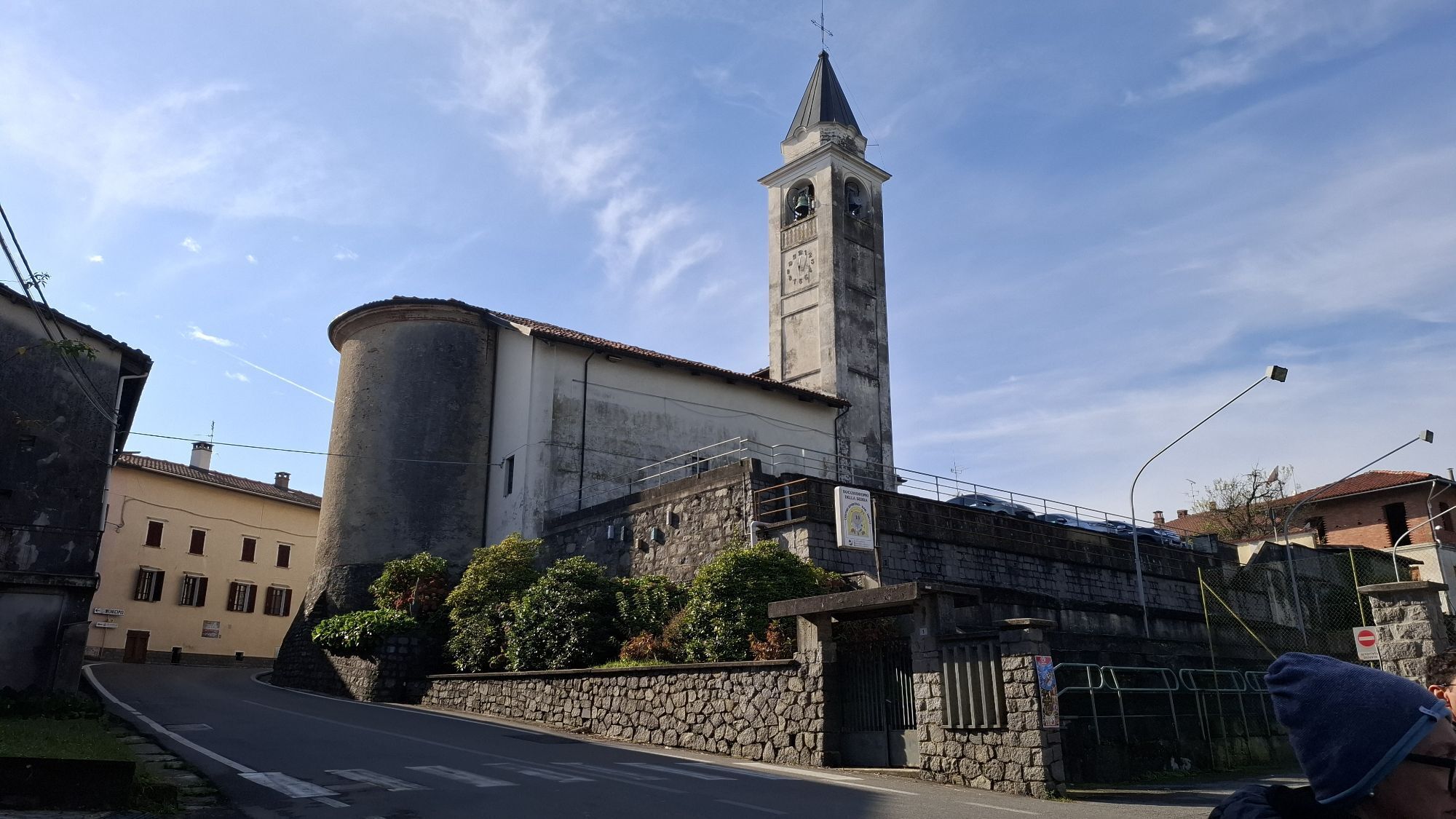
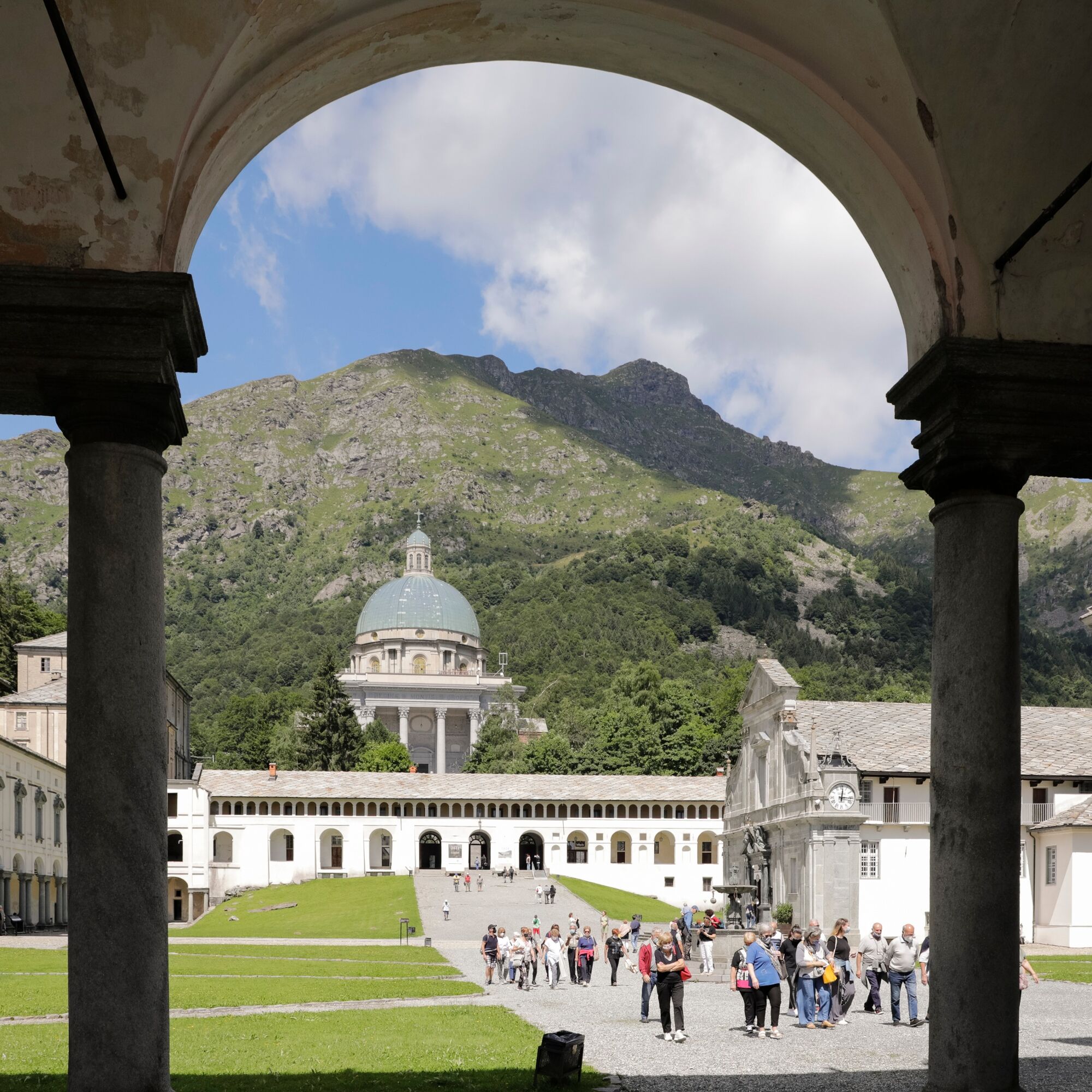
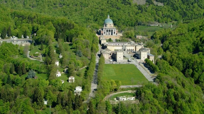
The Cammino di Oropa is a network of itineraries that includes, in addition to the Cammino di Oropa della Serra, the Cammino di Oropa Valdostano, the Canavesano and the Oropa Orientale, all equipped with appropriate signs.Here we propose the most popular and frequented itinerary, the least demanding and most easily accessible by public transport: just over 61 km divided into 4 stages of medium difficulty, equipped with a well-organized reception network. The route allows you to go from the agricultural plain to the mountains in a few days, to cross unforgettable panoramas among woods, castles, ancient villages and places of the spirit.

By car
Santhià is located on the A4 Milan-Turin motorway, one hour by car from Milan, 30 minutes from Turin.
The starting point is reachable by train, car, and bus:
By train: Santhià is located on the Milan-Turin railway line, with hourly trains arriving from Milan Central Station in 1h05' and from Turin Porta Susa in 30'. For schedules consult the website: www.trenitalia.it
By bus: the Flixbus stop in Santhià is near the highway toll booth of the A4 motorway; from here it is easy to reach the Cammino di Oropa. Information and schedules on www.flixbus.it
By plane: From Malpensa to Santhià: Flixbus from both Terminal 1 and T2 to Santhià highway toll booth (1h15'); train with change at Milan Central and arrival at Santhià station (2h45'). From Orio al Serio to Santhià: Flixbus to Santhià highway toll booth (2h15’) – 3 connections per day; bus to Milan Central + train to Santhià (2h30' plus transfer time). From Caselle to Santhià: bus to Turin PS + train to Santhià (about 1h20 plus transfer time).
It is possible to leave your car at the Santhià railway station.
T2
THE CREDENTIAL
The credential can be requested from the Amici della Via Francigena association of Santhià and collected at the start of the walk at the entrance to the hostel in Corso Nuova Italia 134 by making an appointment by calling 388-63.33.865. Alternatively, it can be collected stamped from the hostel in Santhià, in Cavaglià, at the infopoint of the Cammino di Oropa, in via Gersen 6 (possibly by notifying in advance with an email to viafrancigenacavaglia@gmail.com), or at the end of the first stage, at the Casa del Movimento Lento in Roppolo by writing an email to casa@movimentolento.it.
On the website camminodioropa.it/ you can join Movimento Lento to organize your trip and book accommodations. You can also download the ItinerAria App to easily find your way around the route.
Oblíbené prohlídky v okolí
-
CHIVASSO Multi-stage loop of the ancient Balteo Glacier
středníCyklistika na velkou vzdálenost 195.4 km -
IVREA Ring Ivrea - Alice Superiore
středníCyklistika na velkou vzdálenost 35.0 km -
IVREA Ivrea - Viverone Route
středníCyklistika na velkou vzdálenost 52.4 km -
3.0
Via Francigena Etappe 5
středníTuristika 36.7 km -
Chiaverano - Church of Santo Stefano di Sessano
středníMountainbike 27.4 km -
MONTALTO DORA Terre Ballerine - In search of Lake Coniglio
světloTuristika 5.35 km -
Ancient Balteo Glacier Ring - stage 3
středníCyklistika na velkou vzdálenost 35.1 km -
IVREA Loop Ivrea - Carema
středníCyklistika na velkou vzdálenost 38.2 km -
IVREA Ivrea Morainic Ridge ring
středníCyklistika na velkou vzdálenost 50.6 km -
SETTIMO VITTONE Colma di Mombarone from Trovinasse
středníTuristika 3.92 km
Pěší turistika a stopování


Nenechte si ujít nabídky a inspiraci pro vaši příští dovolenou
Vaše e-mailová adresa byl přidán do poštovního seznamu.