



Bike Around Turin | Lanzo - Avigliana

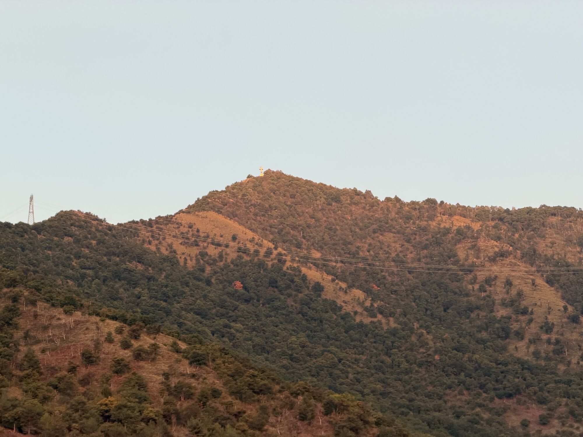
From Lanzo, follow the mountain with ups and downs to reach Caselette below the Musinè, then enter the Susa valley and reach Avigliana.
The route mostly runs on paved roads with mixed traffic, frequented...
From Lanzo, follow the mountain with ups and downs to reach Caselette below the Musinè, then enter the Susa valley and reach Avigliana.
The route mostly runs on paved roads with mixed traffic, frequented by cyclists. The beginning, downhill, goes towards Cafasse and Fiano, where you start to climb crossing the Ceronda stream, pass the Truc di Miola, and with climbs never too challenging, you first reach La Cassa and then Givoletto.
After crossing the Casternone stream, turn left towards Alpignano and reach the entrance to the Susa valley. Continue towards Caselette, at the foot of Musinè, the mountain closest to Turin, and following for a stretch the Susa valley cycle path, head towards Almese. Before reaching the town, turn onto the Terre dell'Ovest cycle highway, in an urbanized area leading to Avigliana.



0 - Lanzo train station. Enter via Roma turning left, then turn left again onto via Frasca.
0.6 - At the roundabout take via delle Valli (provincial road 2), then continue right towards Cafasse and cross the Stura river.
1.4 - Turn right leaving the provincial road and take the small road that borders the mountain.
3.3 - Rejoin provincial road 1, which with some ups and downs heads towards Turin.
7.1 - Turn right towards Fiano.
8.6 - In Fiano turn left onto via Torino, and shortly after right onto via Susa (provincial road 181) downhill.
10.1 - After crossing the Ceronda stream the road starts to climb.
11.9 - Pass through the hamlet Truc di Miola.
13.9 - Reach La Cassa, which you cross continuing on provincial road 181.
16.8 - With various ups and downs, arrive at Givoletto.
17.4 - Turn right onto via Brione leaving the provincial road for a stretch, then rejoin it after a few hundred meters, continuing downhill.
20.4 - After crossing the Casternone stream, turn left towards Alpignano.
21.4 - Turn right onto via Val della Torre towards Caselette.
23.9 - In Caselette turn right onto via Roma to continue towards Almese.
24.9 - Enter the busy provincial road 24 towards Almese.
26.2 - Turn right onto the Terre dell'Ovest cycle highway leading to Avigliana.
29.0 - At the Milanere hamlet, turn left.
30.2 - Turn right onto the cycle path running alongside provincial road 24.
32.2 - Turn left onto via Almese.
33.7 - Arrive at Avigliana train station.
Ano
Both Lanzo and Avigliana can be reached by train.
Not to be missed:
Lanzo Torinese, Avigliana, and along the route, the beautiful villages of Fiano, La Cassa, Givoletto, and Caselette with the pleasant ups and downs that connect them.
Oblíbené prohlídky v okolí
-
4.7
On the summit of the magical Musiné
světloTuristika 6.94 km -
Avigliana Lakes - Easy route, ideal for families with children
světloTuristika 9.25 km -
CASELETTE - The Musiné loop
středníTuristika 7.52 km -
MONASTEROLO Ca' Bianca and Big Bench
světloTuristika 4.13 km -
COLLE DEL LYS Partisan Trail
středníTuristika 11.6 km -
VALLO TORINESE Passo della Croce and the Turu
středníTuristika 4.29 km -
GIVOLETTO Madonna della Neve on Monte Lera
středníTuristika 6.11 km -
COLLE DEL LYS Monte Arpone loop
světloTuristika 4.50 km -
VARISELLA The ruins of the Baratonia castle, churches, and pools of Varisella
středníTuristika 10.1 km -
Easy route - Monte Cuneo (Moncuni) Loop route from Reano
světloTuristika 7.97 km
Pěší turistika a stopování


Nenechte si ujít nabídky a inspiraci pro vaši příští dovolenou
Vaše e-mailová adresa byl přidán do poštovního seznamu.


