







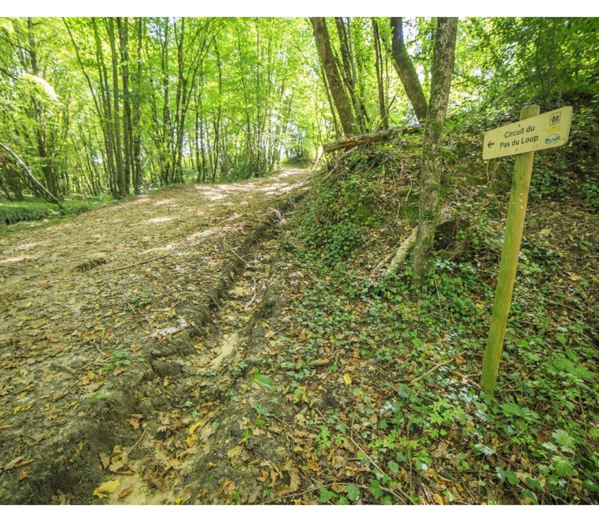
Le circuit du pas du Loup

In summer, the Rouzieux woods offer refreshing foliage. A rich flora surprises the walker with its oaks, pines and beeches that play with the moorland, meadows and vines. Viewpoints open onto the Montagne...
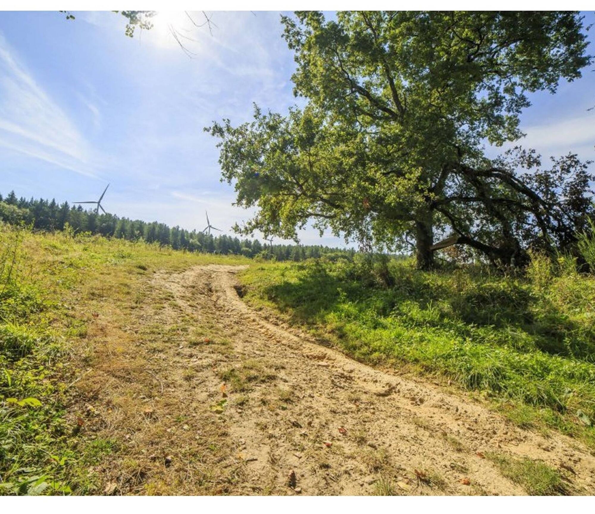
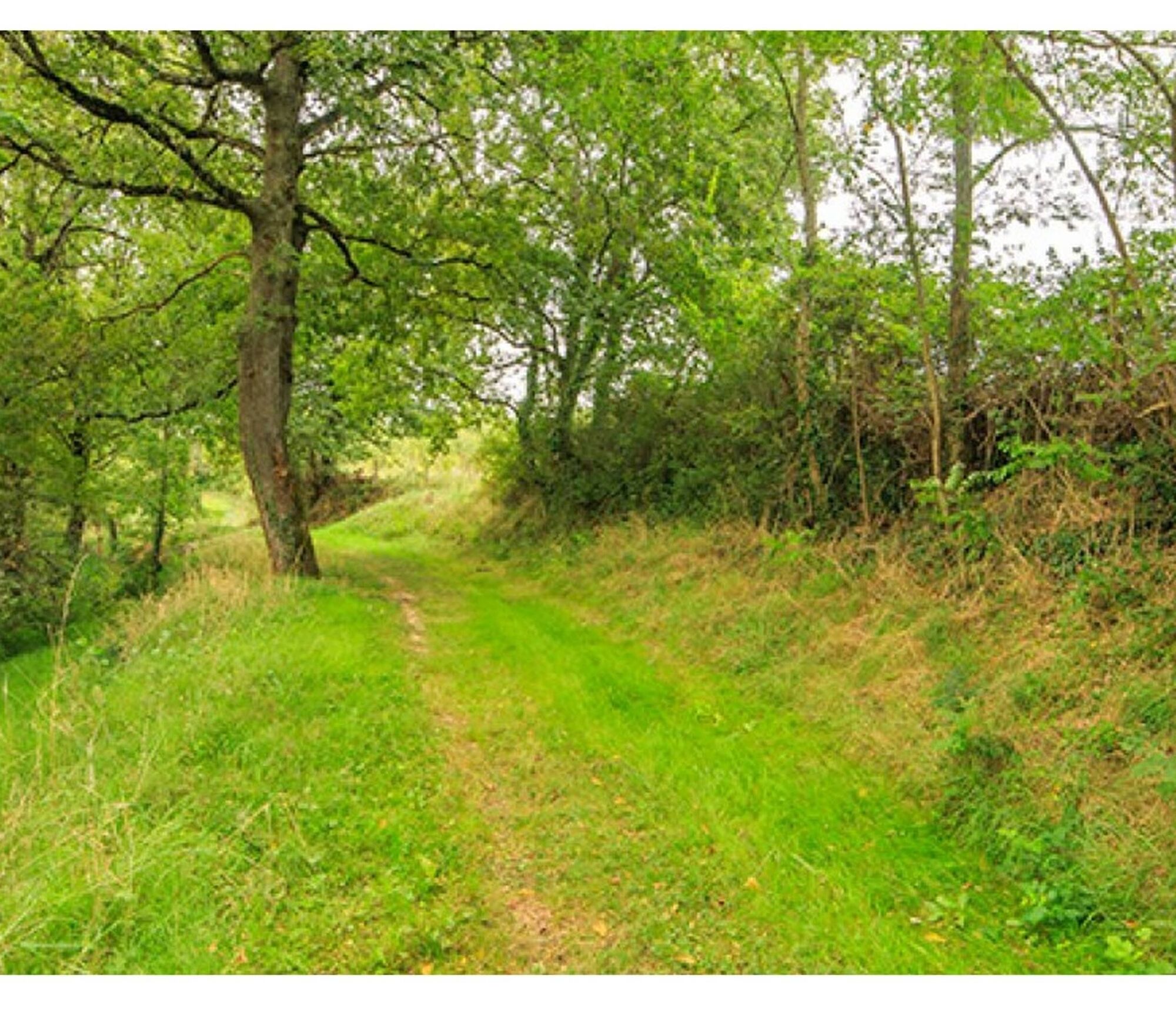
In summer, the Rouzieux woods offer refreshing foliage. A rich flora surprises the walker with its oaks, pines and beeches that play with the moorland, meadows and vines. Viewpoints open onto the Montagne Noire to the East and the Pyrenees to the South. The heights of this circuit allow you to admire the Pic de Nore, the highest point of the Montagne Noire (1211 m), adorned with its television relay. Further on, the three wind turbines with their 120 m height dominate the landscape. Starting from Serviès, the church stands out with its Gothic portal like certain houses and low walls built entirely of pebbles and are typical of this small plain on the banks of the Agout.

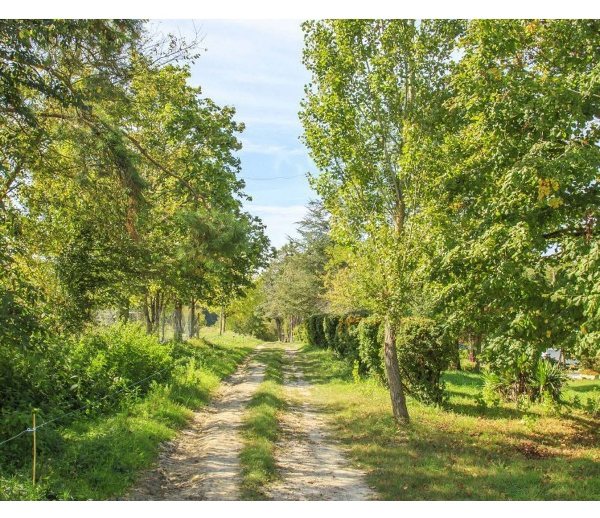

1. Cross the D49, take the street "Centrale" and at the end, turn right to climb "La Côte" towards the church. When you reach the top, turn left and then right (follow the sign for the Fournials room).
2. At a large oak tree, take the dirt road, turn left, you will go along a beautiful pebble wall. When you reach the road, turn left towards the hamlet of Fontaurie then after a few meters, turn left again. At the hamlet, turn right at the cross and at the first fork turn left to keep the path which goes into a pretty wood where oaks, ash trees, hornbeams are the main species of trees that make it up.
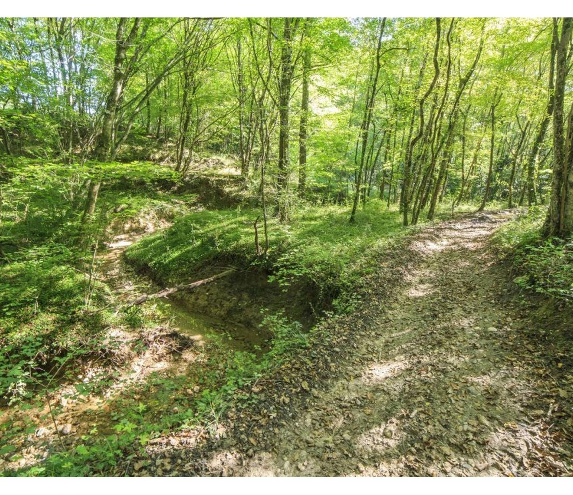
3. After 1.5 km, turn right, cross a small stream and turn right again. The path follows the meanders of a pretty little stream. In spring, periwinkles and white anemones weave a quite astonishing flowerbed: very shady part to arrive at “Rouzieux”. You can already see the wind turbines and sometimes hear them.
4. After 200 m, turn left. The path is between forest and meadow for 200 m then take the 2nd path on your right: climb “hard” for 1200 m in a wood made up only of conifers. Arrived at the municipal road, turn right. After passing at the foot of a wind turbine, turn right again to take a wide forest track which, from the heights of Serviès, will take you down to the Agout valley.
5. Arrived at a small road, turn left then after about ten meters, take a path on the right which runs alongside a vineyard.
6. At the end, turn right to go back up towards the hamlet of Fontaurie and at the first intersection, turn left then right to return to the square by the same path as on the way there.
Easy
Oblíbené prohlídky v okolí
- 5.0
Sentier des crêtes
středníTuristika 11.3 km Ridge Loop
světloTuristika 5.69 kmDiscovery trail of the Travet Meadows
světloTuristika 0.31 kmLa voie romaine
heavyTuristika 28.5 km- 5.0
Three Lakes Trail - Sentier des trois lacs
světloTuristika 8.22 km Le chemin de l'eau
světloTuristika 9.16 kmOenorando® La Birado
světloTuristika 7.76 kmLa boucle de l'Agout à Fréjeville
světloTuristika 14.6 kmLe circuit des Devèzes
světloTuristika 9.99 kmLe circuit boisé de la Capelle
heavyTuristika 18.6 km
Pěší turistika a stopování


Nenechte si ujít nabídky a inspiraci pro vaši příští dovolenou
Vaše e-mailová adresa byl přidán do poštovního seznamu.





