







Ridge Loop

You’ll discover beautiful landscapes that have remained virtually unchanged, just as Count Raymond de Toulouse-Lautrec saw them in his day at the end of the 19th century: “Admirable Lautrec, nestled on...
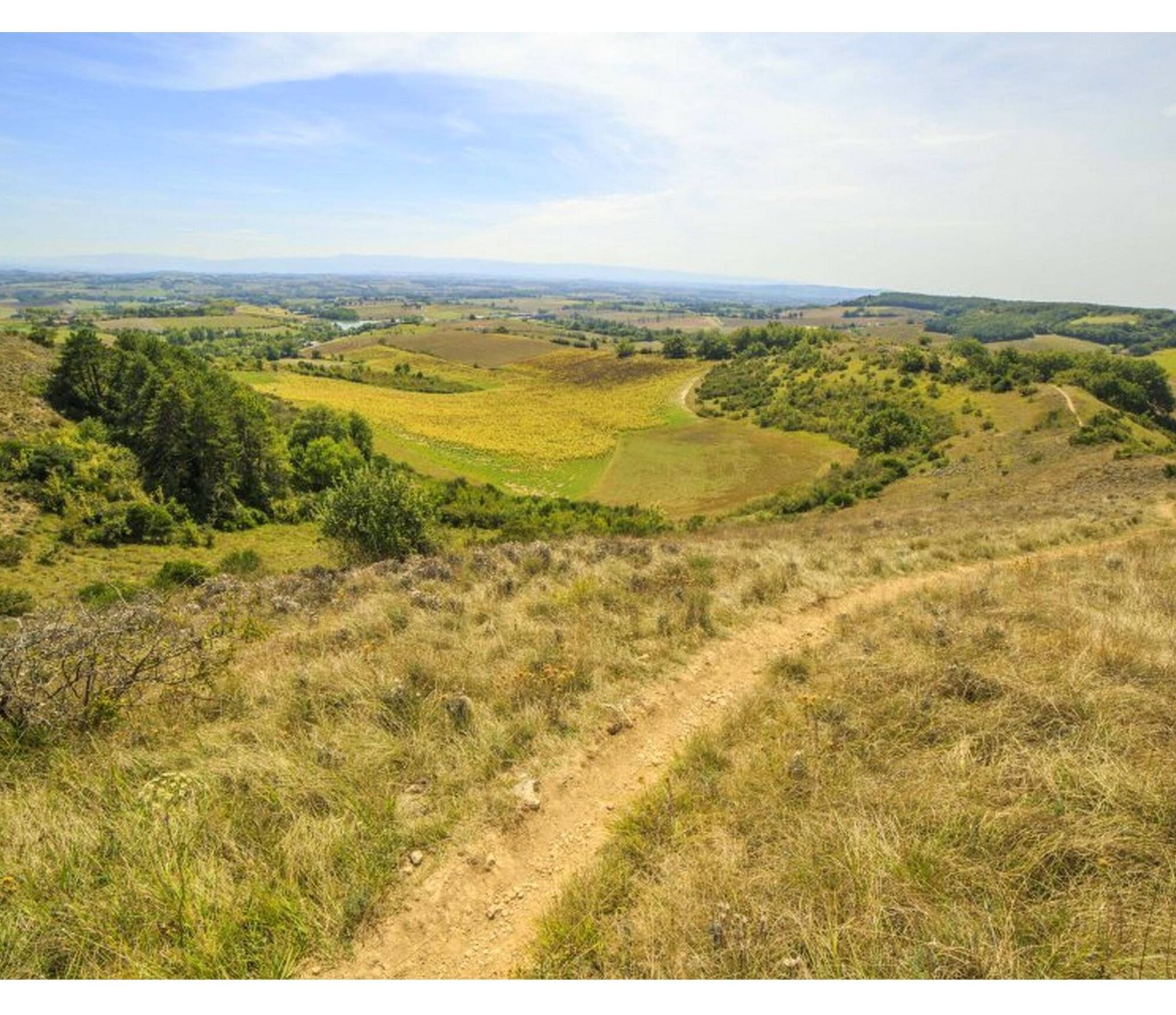
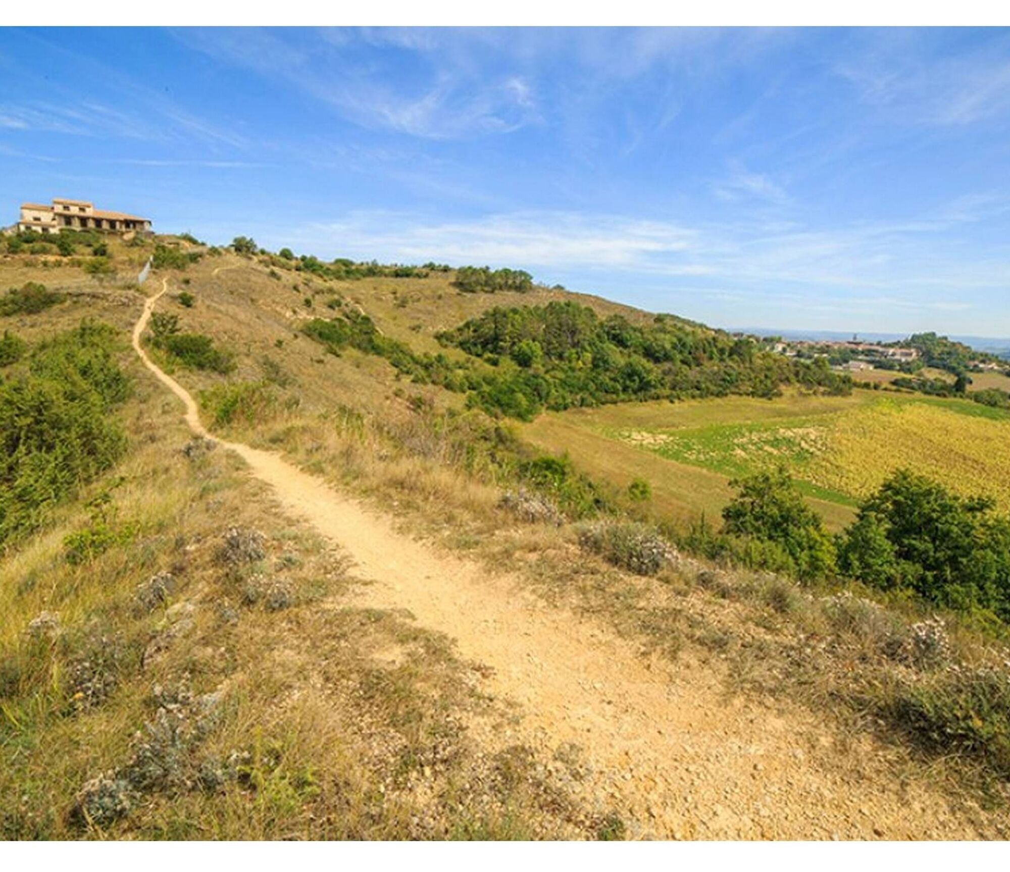
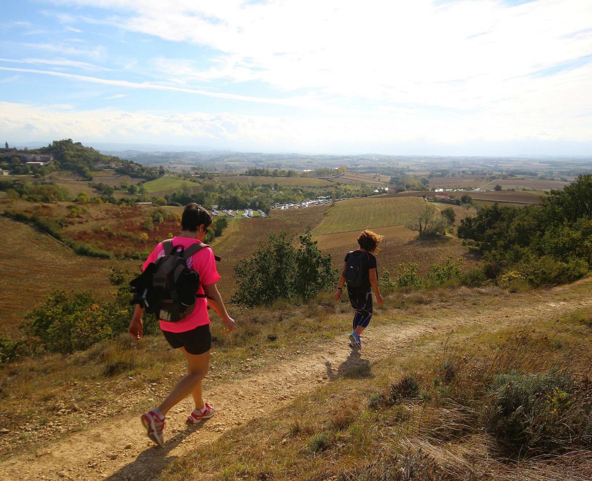
You’ll discover beautiful landscapes that have remained virtually unchanged, just as Count Raymond de Toulouse-Lautrec saw them in his day at the end of the 19th century: “Admirable Lautrec, nestled on the heights, overlooking leagues and leagues of countryside, bleached by a blazing sun, steeped in memories, glories, and traditions… The breath of a proud south wind caresses the Roman roof tiles, scorched by the fiery sun… A gentle, almost Tuscan landscape: hillsides, cypress trees, farmsteads, dovecotes, and manor houses, arranged as a feast for the eyes. A gentle landscape bordered in the distance by the dark blue line of the mountains…” Throughout your journey, magnificent views of the village of Lautrec or the Montagne Noire will unfold before you.

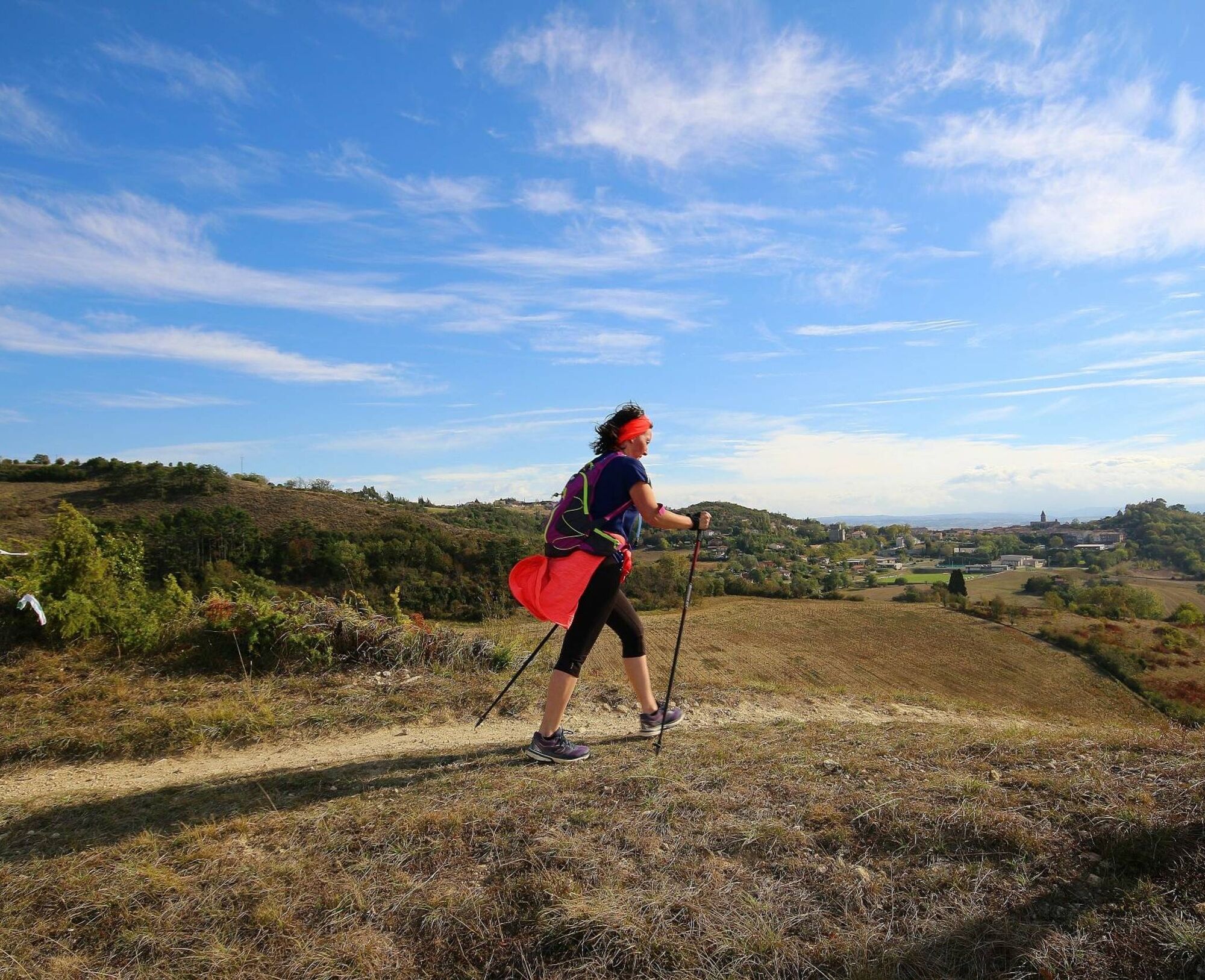
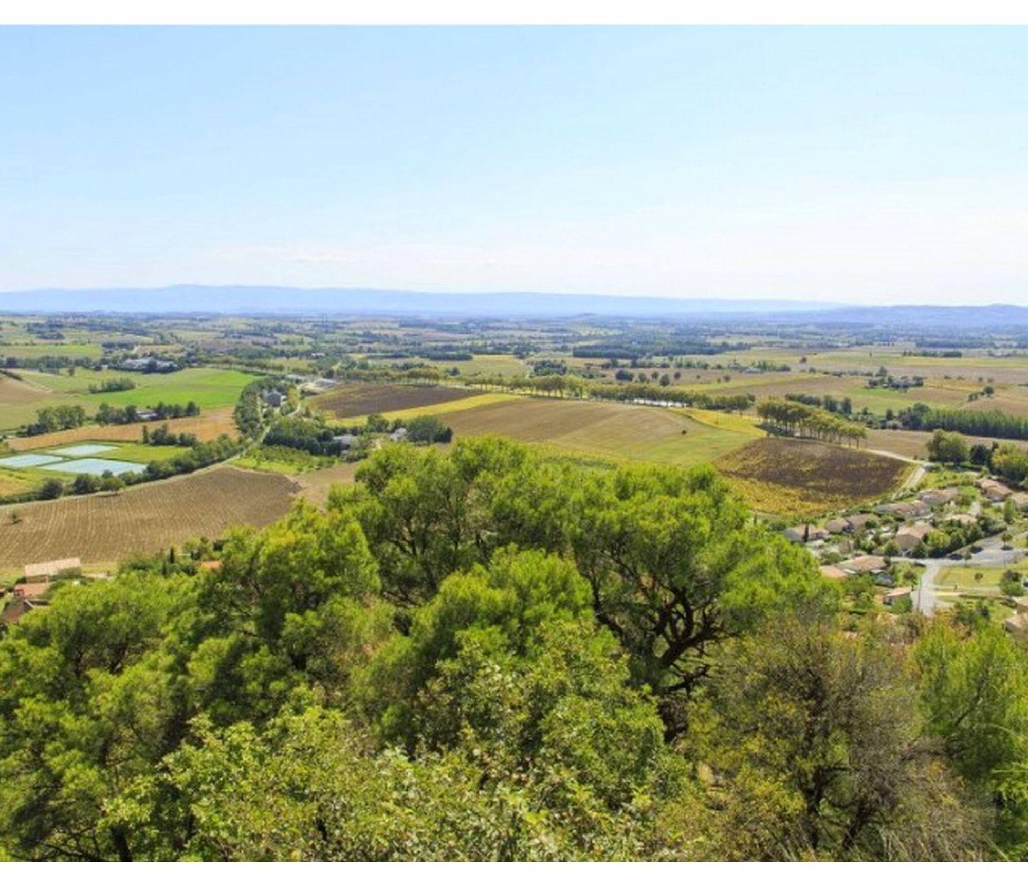

1. Take the D92 toward Albi. Drive up the street across from the Peugeot garage (a dead-end alley). At the top, turn right, then take the first left at the Y-intersection. You’ll arrive at the highest point in Lautrec, across from the water reservoir (360 meters).
2. Turn left onto the small road, then right. After going a short distance, turn left and follow the path that climbs slightly toward the groves until you reach the D83.
3. Cross the D83—be careful!—and head down toward the large house. From there, follow the ridge trail that descends back toward Lautrec.
4. You’ll come to a small road; turn left. Cross the D92—be careful!—pass by Aquaval, and head up the path toward the village.
5. You’ll reach the D83 (Castres Road) near a restaurant. Cross the departmental road and head up Rue du Barry to the left. Then go up the hairpin turn and turn right onto Allée des Promenades. At the end of this road, at the fork, turn right toward Roquecourbe, then take the first right toward Les Sols.
6. Take the path on the left that leads to the Saint-Rémy washhouse, then follow the old Roman road up to the Porte de la Caussade. You can return to the roundabout by walking along the parking lot on the right or through the center of the village.
Easy
Oblíbené prohlídky v okolí
-
Le circuit du pas du Loup
světloTuristika 9.89 km -
5.0
Sentier des crêtes
středníTuristika 11.3 km -
Discovery trail of the Travet Meadows
světloTuristika 0.31 km -
5.0
Three Lakes Trail - Sentier des trois lacs
světloTuristika 8.22 km -
Le chemin de l'eau
světloTuristika 9.16 km -
Oenorando® La Birado
světloTuristika 7.76 km -
La boucle de l'Agout à Fréjeville
světloTuristika 14.6 km -
Le circuit des Devèzes
světloTuristika 9.99 km -
Le circuit boisé de la Capelle
heavyTuristika 18.6 km -
A cycle ride along minor roads – Following the Agout River via Burlats and Roquecourbe.
středníJízda na kole 27.4 km
Pěší turistika a stopování


Nenechte si ujít nabídky a inspiraci pro vaši příští dovolenou
Vaše e-mailová adresa byl přidán do poštovního seznamu.





