


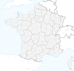


CAYROUX HIKE

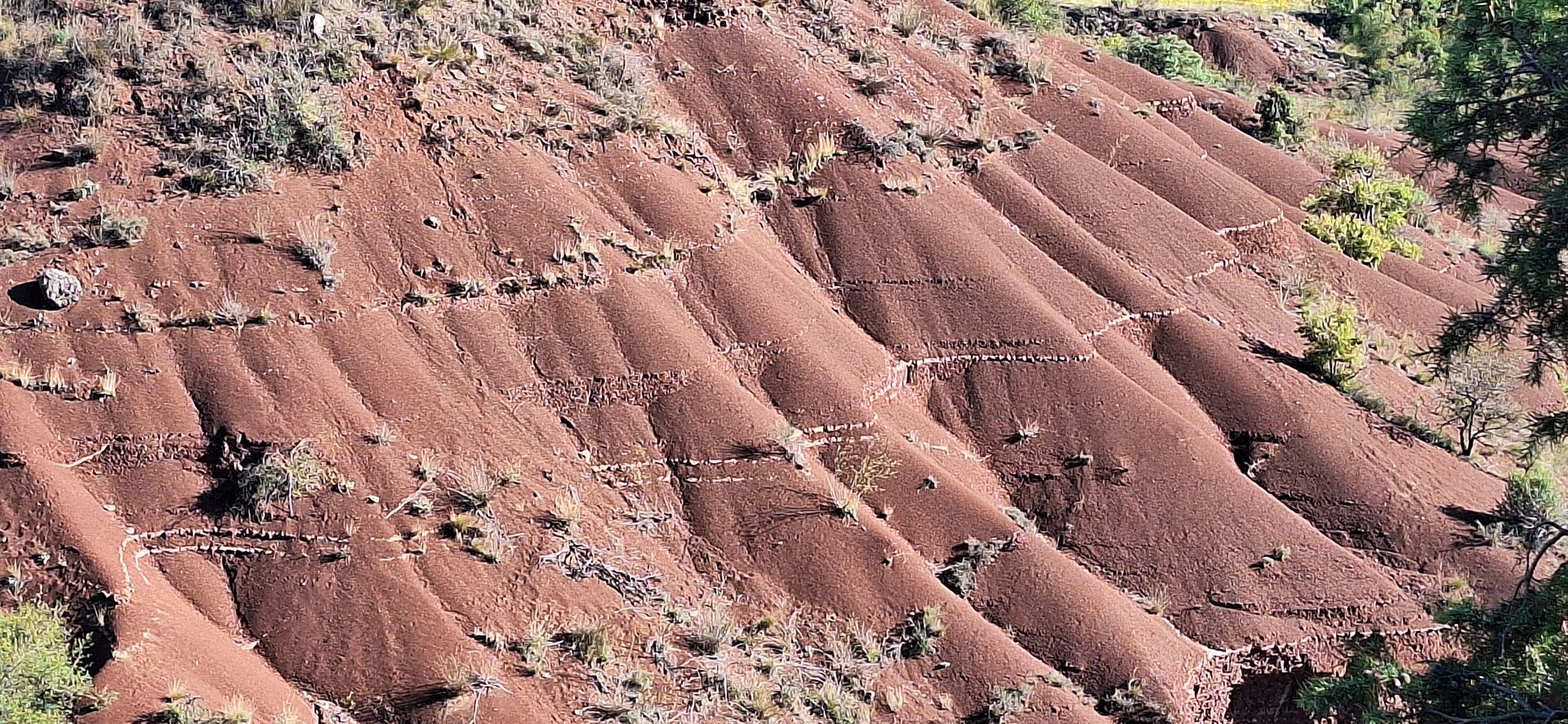
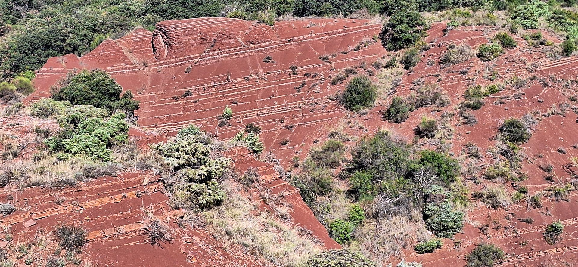
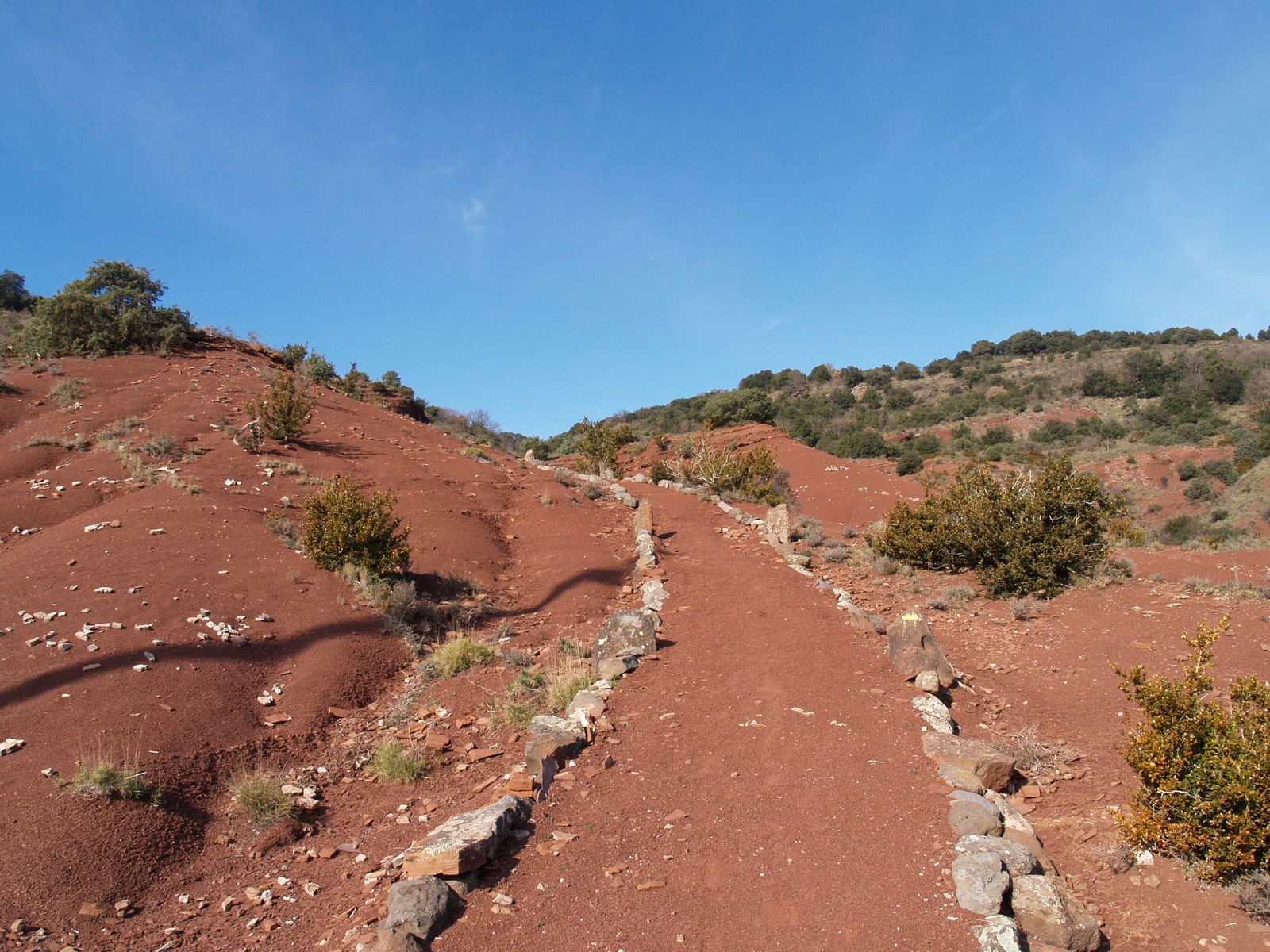
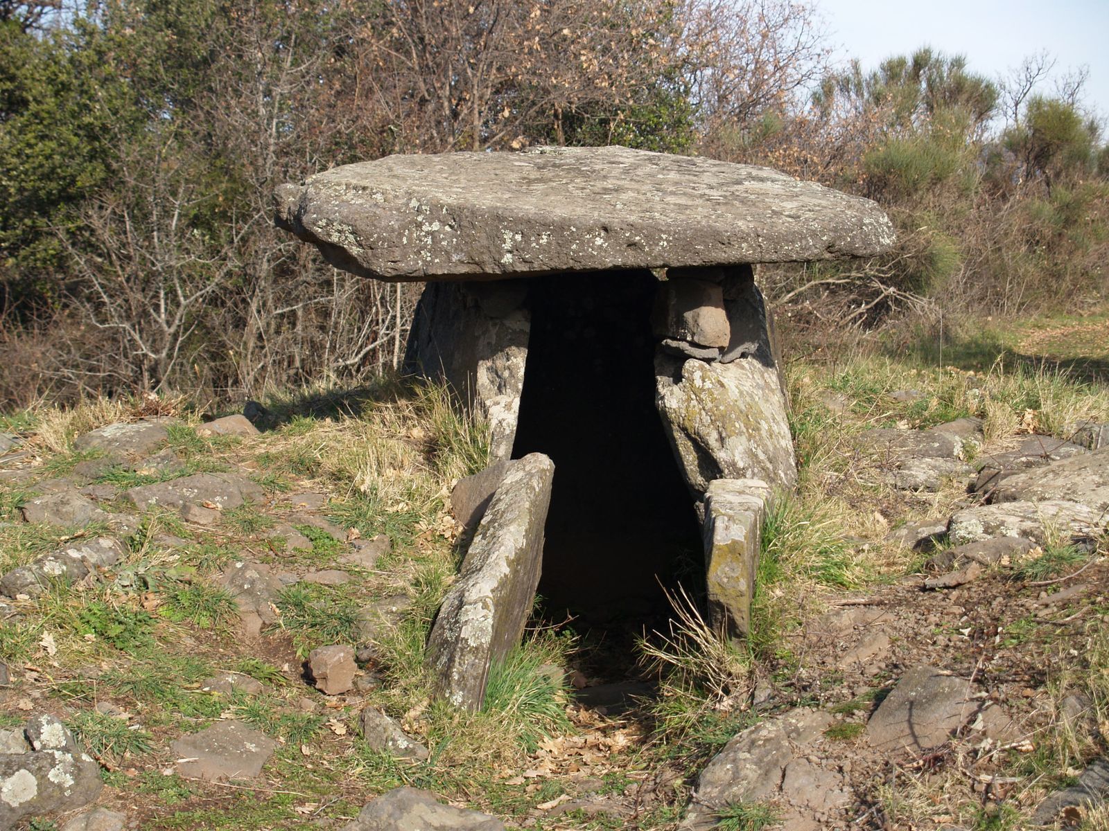
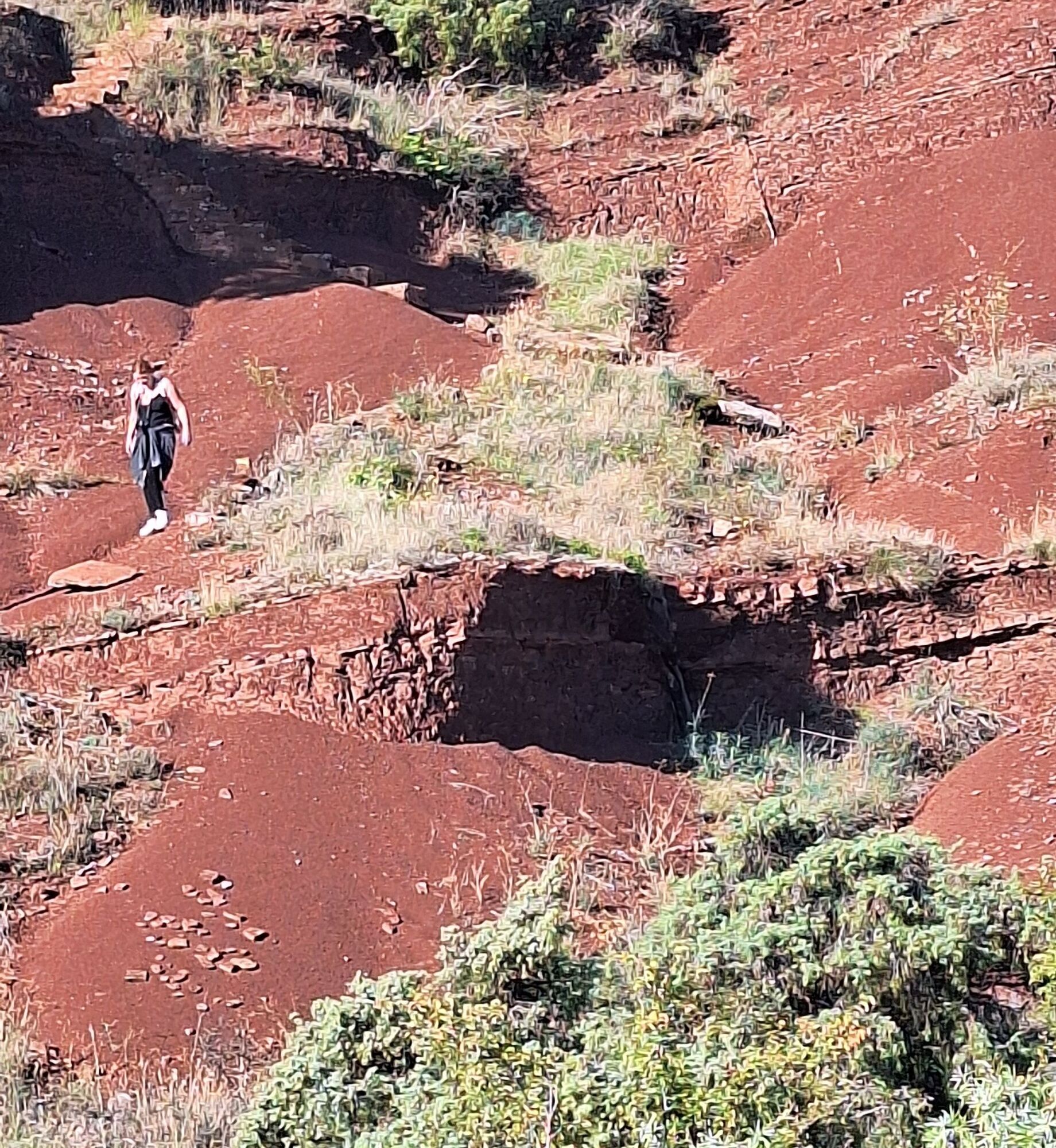
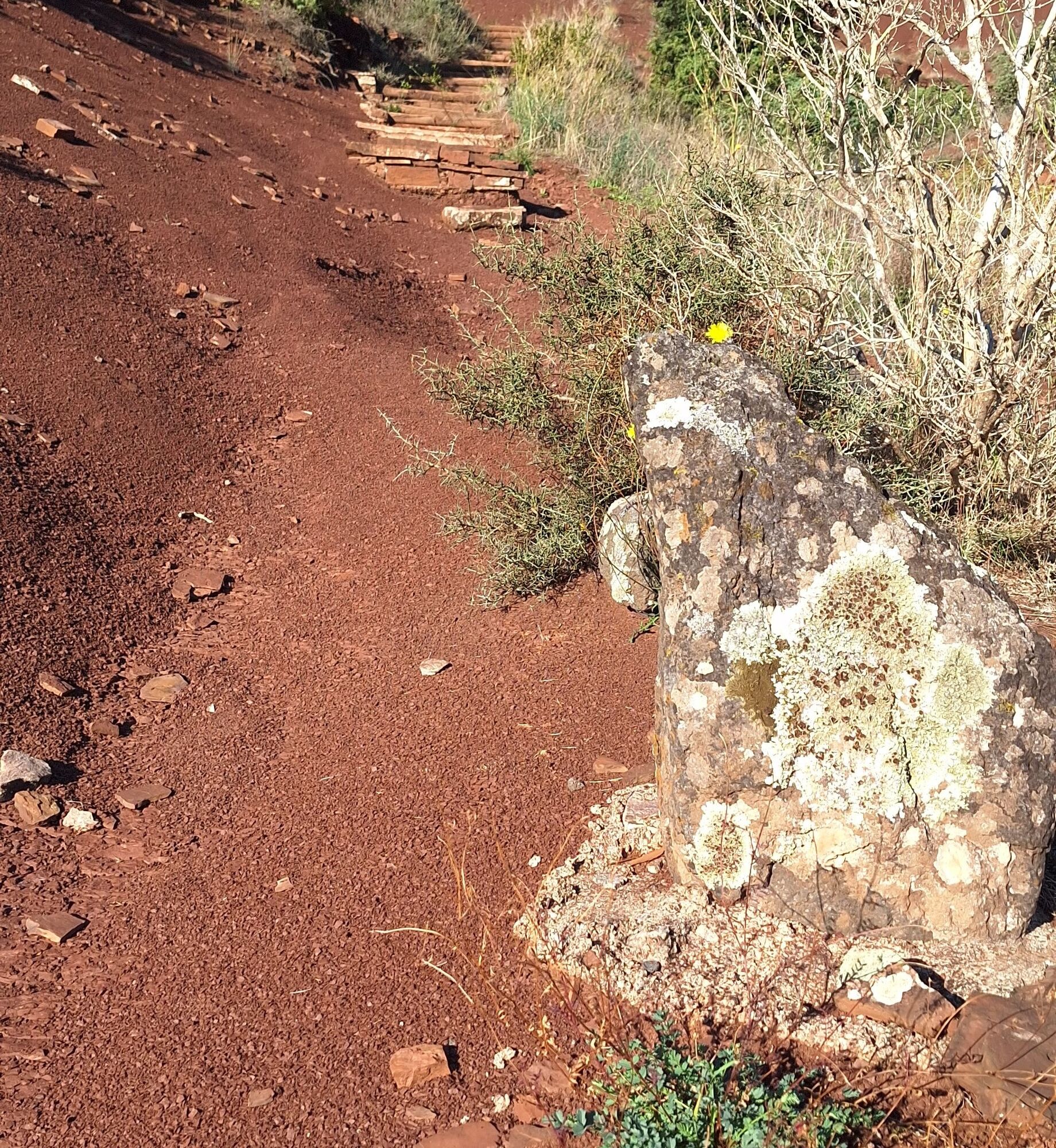
On a plateau in the heart of Lodévois, set off to discover dolmens, dry stone huts (capitelles), and stone enclosures while crossing a landscape of "ruffes," an astonishing red-colored earth.


1
From the parking, go up to the right along chemin des Courtials. Cross rue du Pont-de-Cartels and continue straight on the road. Descend: at the crossroads, continue straight on the concrete path for 800 m. Facing a building, leave the track to the left by a path that goes around fields.
2
At the well-marked path (lined with walls), go up to the right and rejoin the main track. Pass the house, head right. The path crosses a stream and climbs to a dry stone hut (capitelle). Continue the ascent to the left on a wider path, over rocky slabs.
3
Reach a road at a bend, facing Mas Delon. Follow it left for 900 m.
4
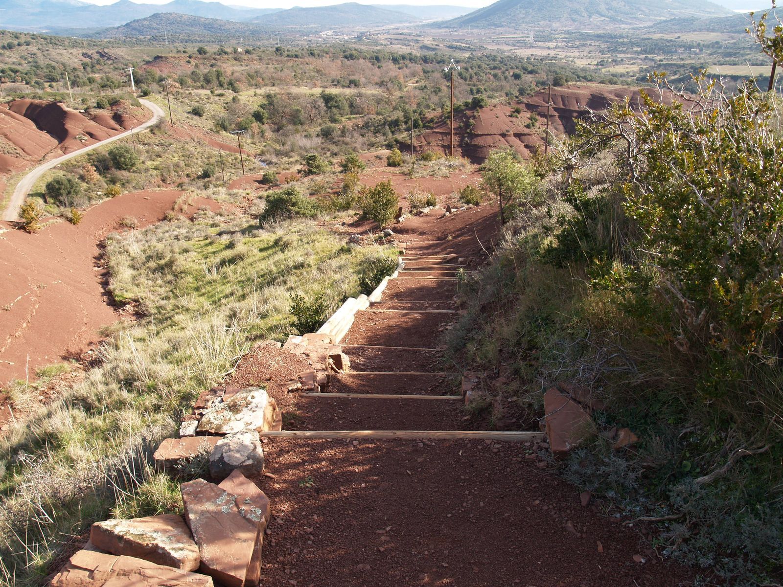
Leave the road to the right by a path that climbs through the ruffe, then climb stairs (steep ascent). Higher up, pass a viewpoint and reach the Cayroux plateau. Cross it (capitelle) through the gorse heath. Descend left, then climb to a dolmen.
5
Descend into the undergrowth (view on Aubaygues valley), cross a ravine. Continue descending to the road at a bridge. Turn right towards Le Puech.
6
Turn left towards the church, continue along rue des Vignerons. Pass left through place des Palabres, descend left under the porch along chemin de l’Aubaygues. Continue right under the old village along fences. At the end, take right stairs rue du Four. Follow rue du Château (restored bread oven), rue de l’église, then turn left to leave the village.
7
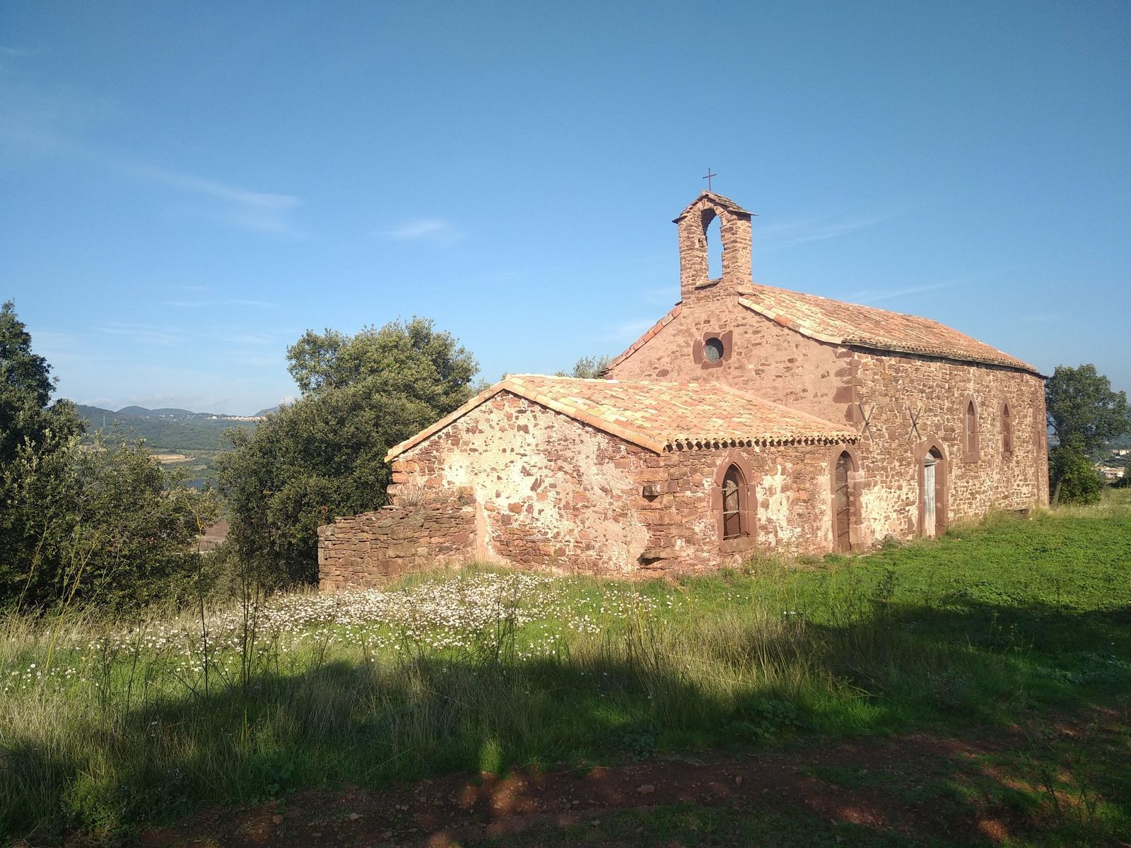
At the war memorial, go up right then take left stairs cut into the ruffe. Along the road, go up left to the pass (calvary). Descend about 300 m then leave the road left. Cross the picnic area, descend right along the stream. Cross the footbridge and continue under the vineyard. Pass the threshold to the left, cross the track and continue straight to Saint-Agricol chapel. Walk right 50 m.
8
Descend right on the old Roman road. At the road, turn left, immediately climb left on the track for 100 m. Descend the path to the right, cross the road and, on the path lined with walls, reach Les Hémies. Cross the hamlet and exit right via chemin des Ruffes. Continue straight on the ridge track (viewpoint). Pass a capitelle, continue 30 m.
9
Descend right down the path (view ahead on Mont Liausson and in the distance Lake Salagou) and return to the starting parking lot.
In case of emergency, dial 112
- Circuit not to be undertaken in fog, heavy rain, or high heat.
- Steep ascent between stages 4 and 5
- Delicate descent between stages 5 and 6
- Remain vigilant when walking along roads
- Follow the signage carefully in the heart of the village of Le Puech (plaques)
Yellow PR
+33 4 67 67 76 36
HÉRAULT DEPARTMENTAL COUNCIL SPORTS AND NATURE DEPARTMENT
Géorando
Oblíbené prohlídky v okolí
-
5.0
CIRQUE DE MOUREZE HIKE
středníTuristika 6.86 km -
5.0
LES VAILHÉS HIKING TRAIL
středníTuristika 9.28 km -
5.0
MONT LIAUSSON HIKE
středníTuristika 7.36 km -
5.0
CIRCUIT N°1 LE LAC DU SALAGOU - ESPACE VTT-FFC DU SALAGOU
středníMountainbike 26.9 km -
5.0
HIKING THE RED ROCK
středníTuristika 7.01 km -
4.0
HIKE OF THE GRÉZAC PLATEAU
středníTuristika 14.0 km -
LAVAL DE NIZE HIKE
světloTuristika 6.07 km -
TRAIL OF THE TOUR OF LAKE SALAGOU (SHORES OF CLERMONT) - GR® OF THE REGION BETWEEN 2 LAKES Avène – Salagou
středníTrailrunning 25.6 km -
COURTINALS TRAIL HIKE
světloTuristika 2.36 km -
BEALS TRAIL HIKE
středníTuristika 4.51 km
Pěší turistika a stopování


Nenechte si ujít nabídky a inspiraci pro vaši příští dovolenou
Vaše e-mailová adresa byl přidán do poštovního seznamu.


