







BEALS TRAIL HIKE

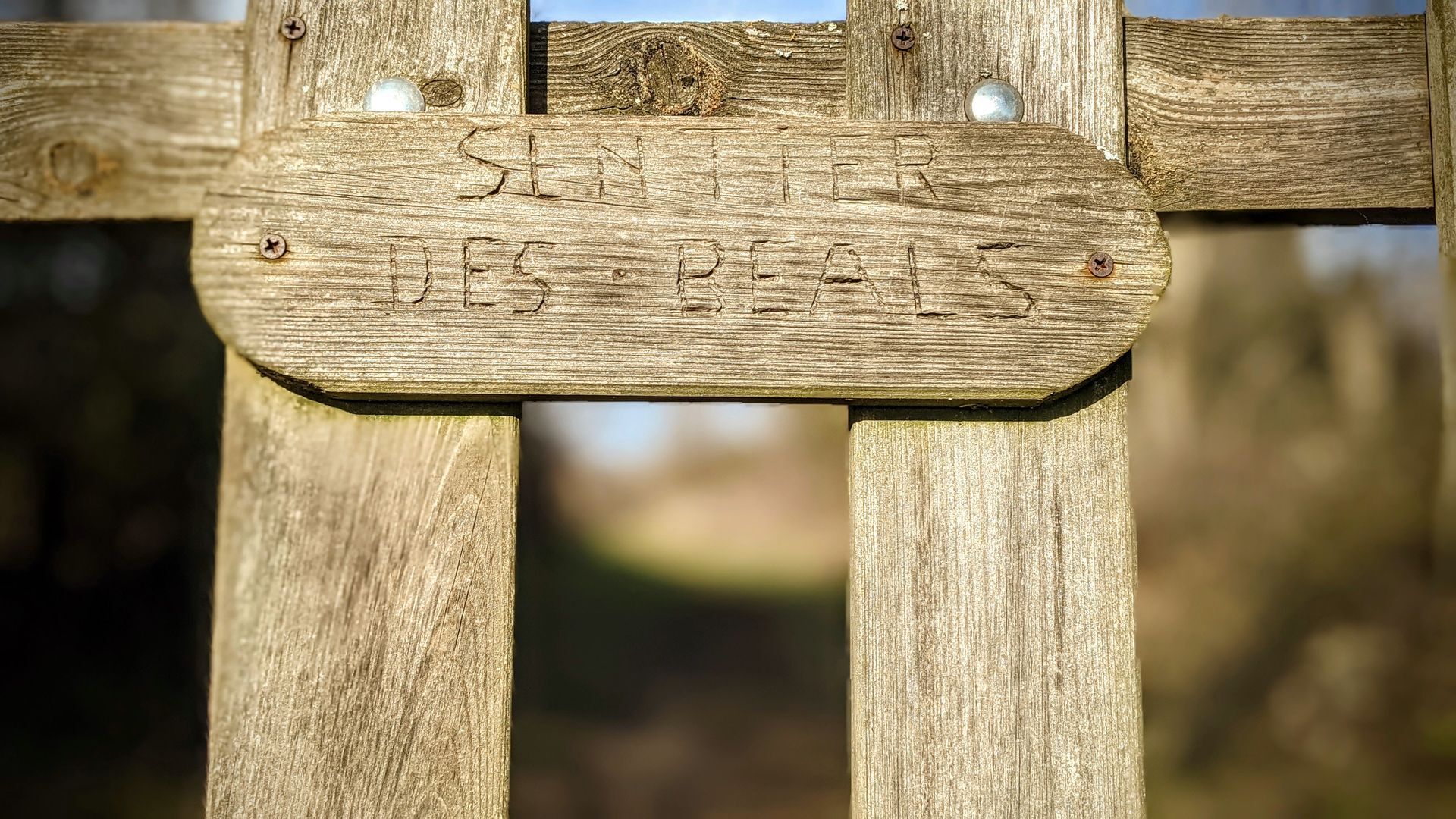
The "sentier des béals", small irrigation canals with ancestral origins, allows you to follow the paths by which pedestrians or animals could reach the agricultural land of the Causse. They lead to several...
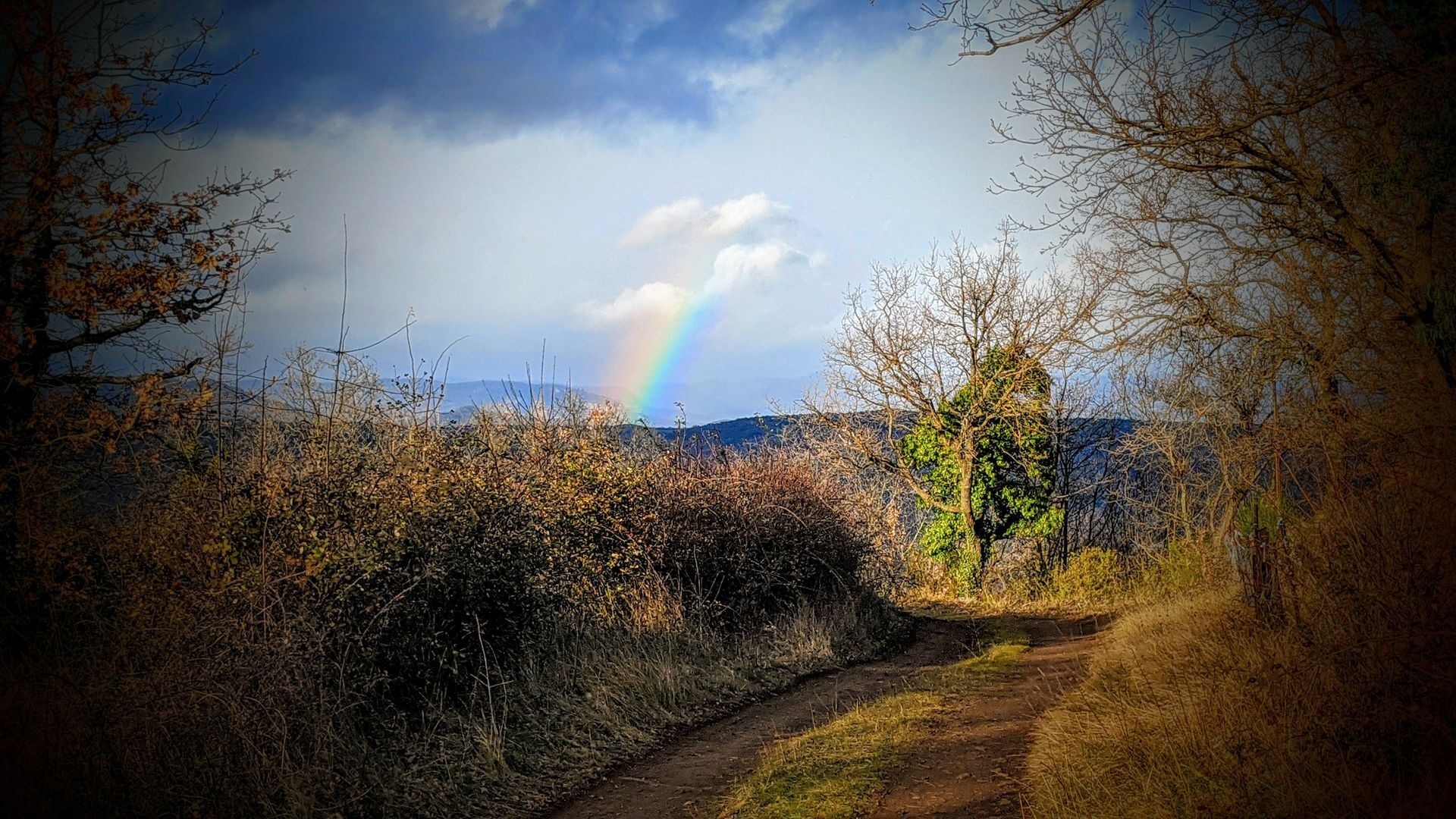
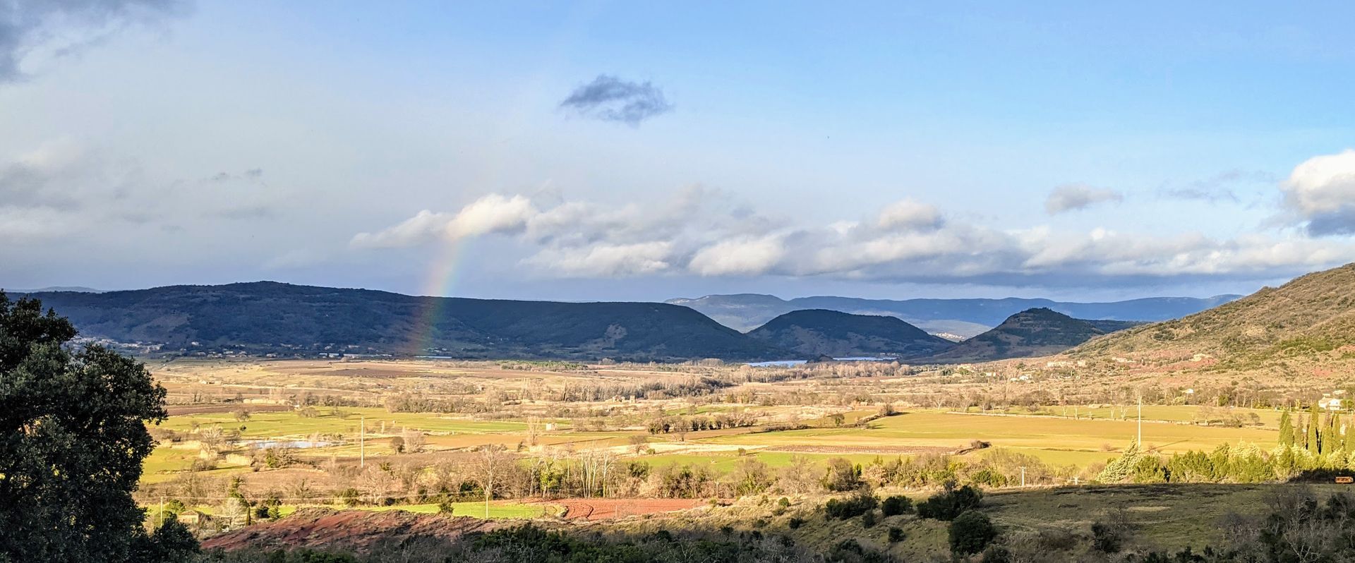
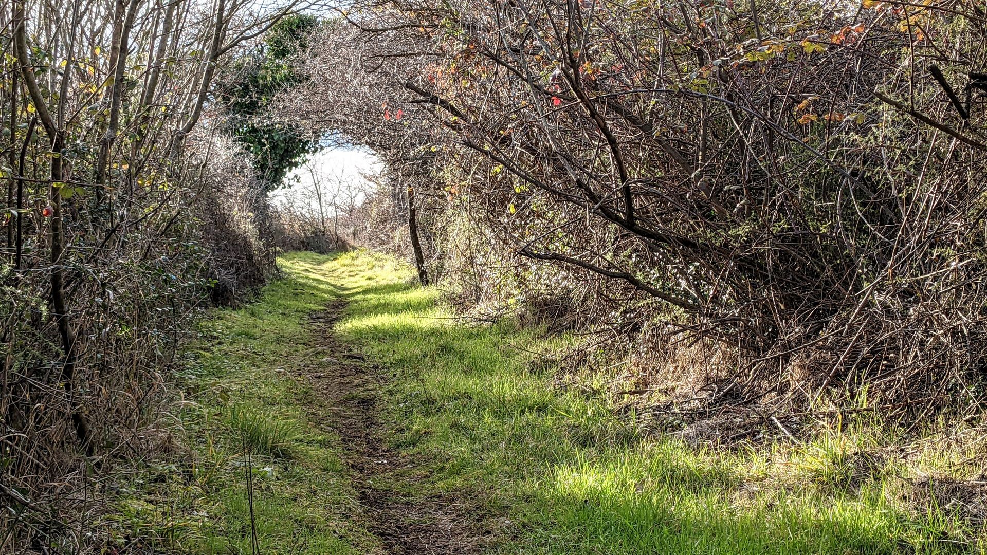
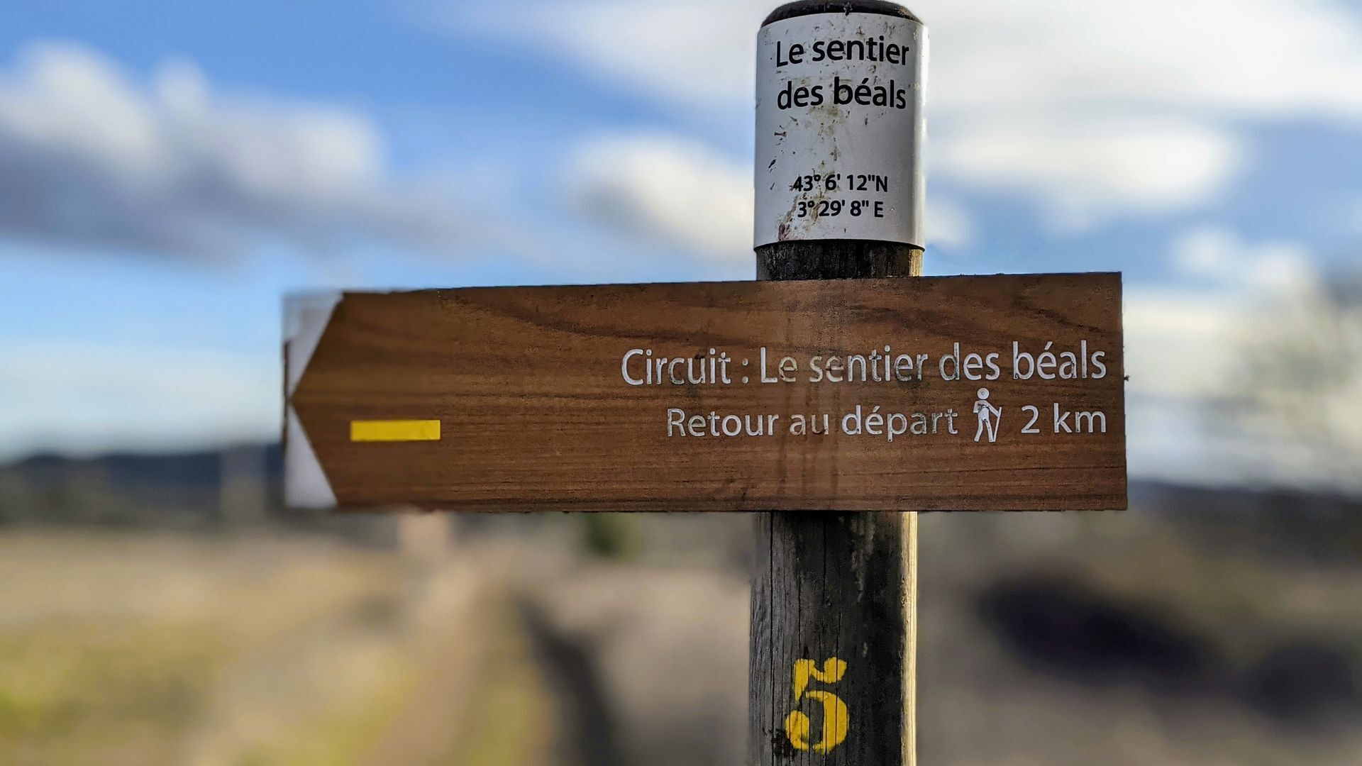
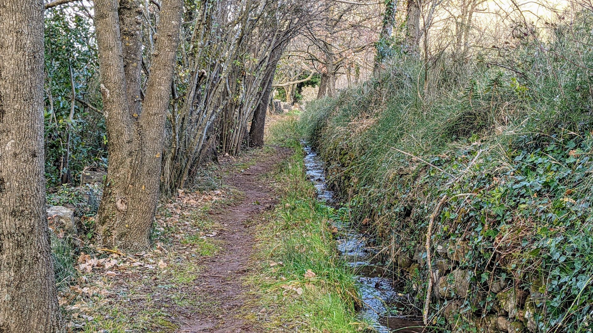
The "sentier des béals", small irrigation canals with ancestral origins, allows you to follow the paths by which pedestrians or animals could reach the agricultural land of the Causse. They lead to several viewpoints, from which you can admire the action of the water that has shaped the landscape.


1
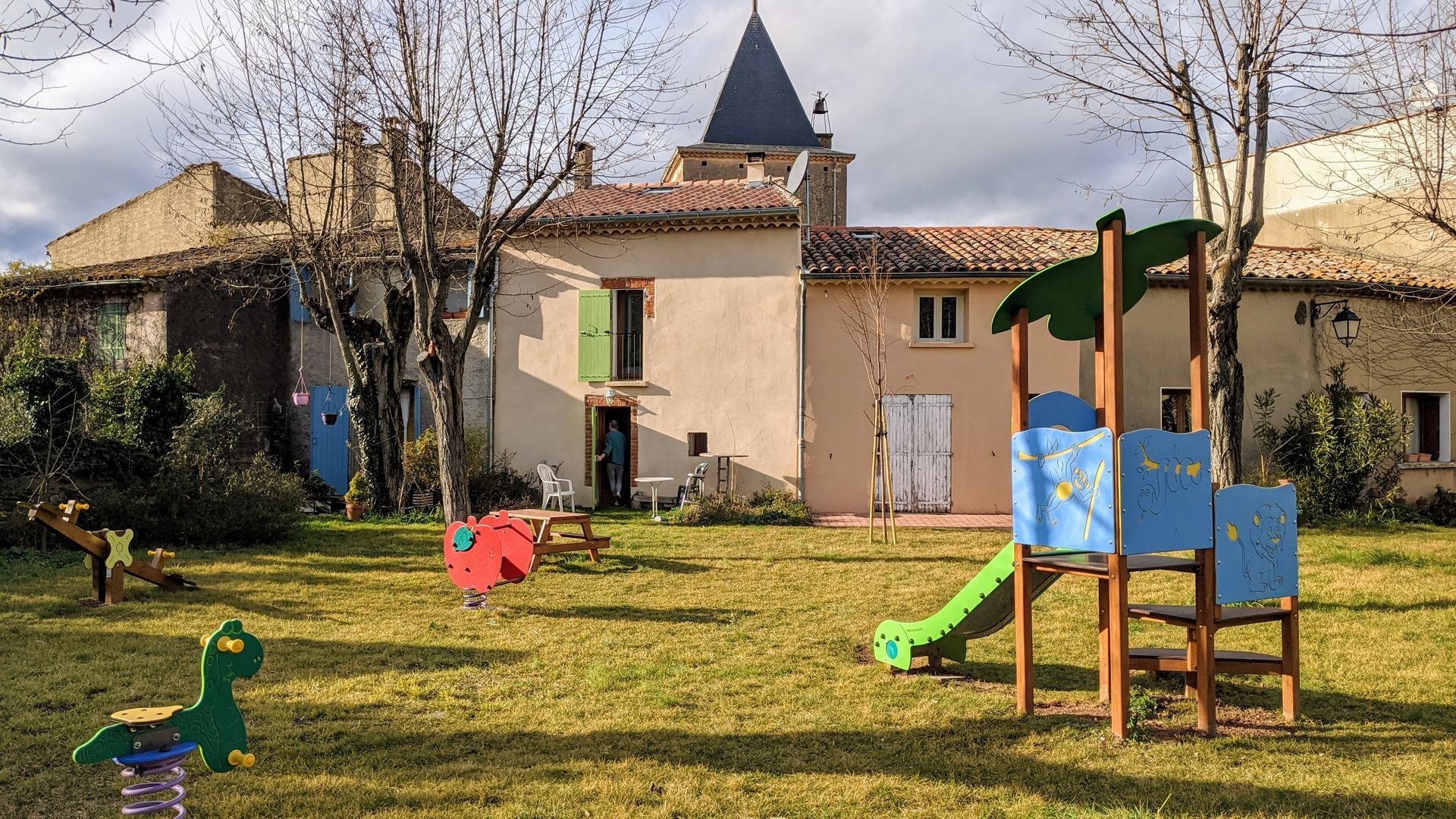
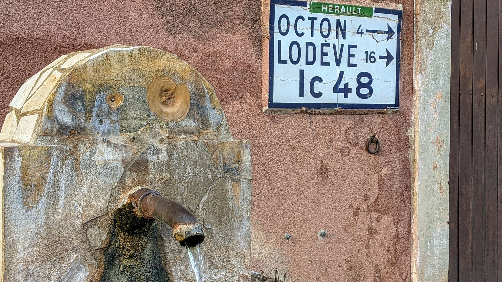
At the end of the parking lot, take the track behind the school. Turn left as far as the bread oven. Turn left, go down the steps and turn left into rue du Vieux Cimetière (opposite, access to the village square, fountain). Pass by the church. At the road, Place de l'Arche, turn right and then left into Rue des Sentinelles. At the end, turn left for a few metres onto the D8 towards Mérifons.
2
Turn left onto a footpath, cross a stream. Walk alongside it, cross another stream and gradually climb up through the boxwoods. Cross a wide path. Join another track and go left for a few metres.
3
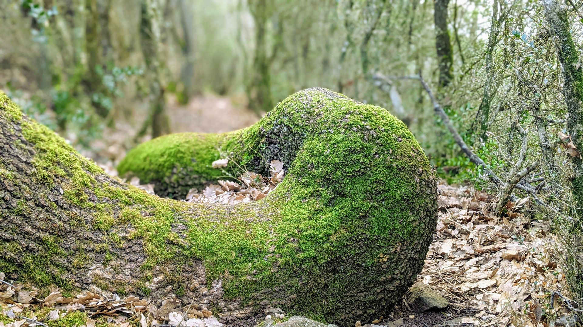
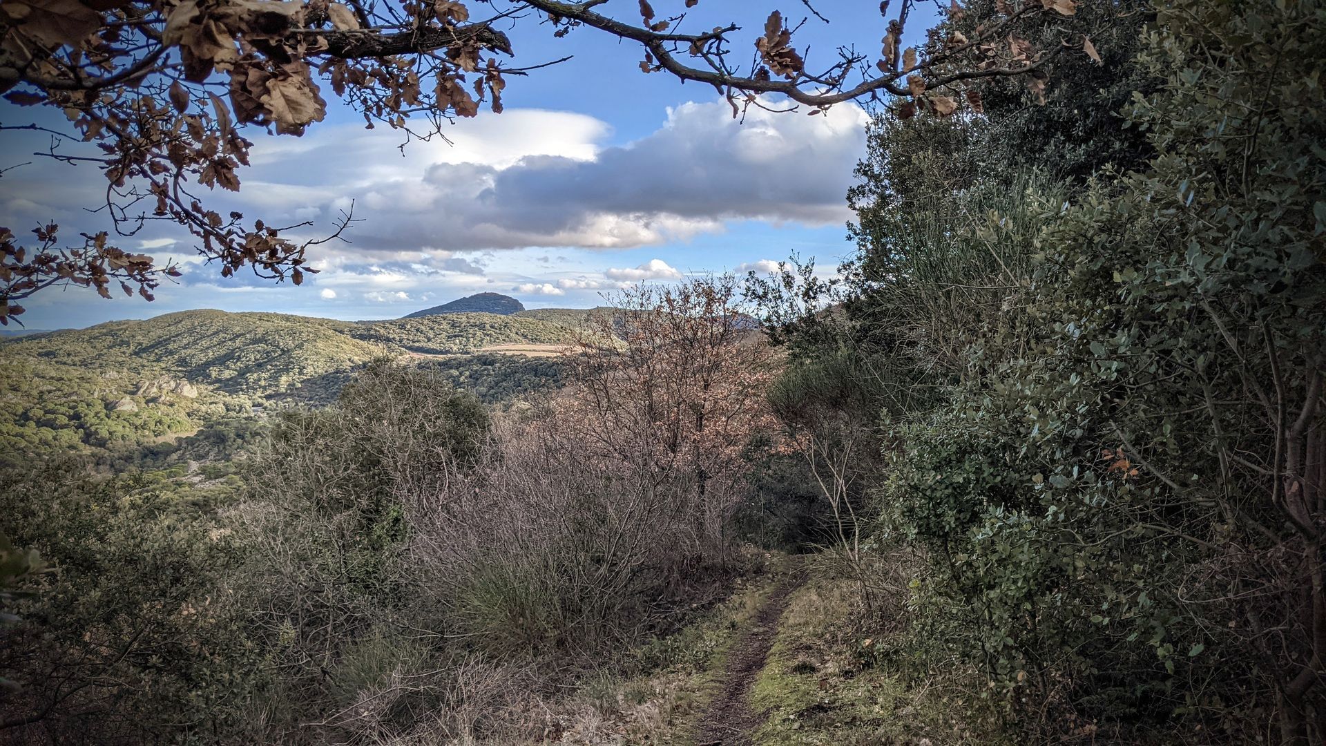
Climb to the right along a path in the red earth (view to the right of Mont Mars above Salasc, Salagou, Octon, Larzac in the background, Brénas below Montbringues, Château de Malavielle on its peak). At the fork, turn right. Further on, climb a few steps. Walk through oak, box and fragon trees. Pass under a goshawk and reach a track.
4
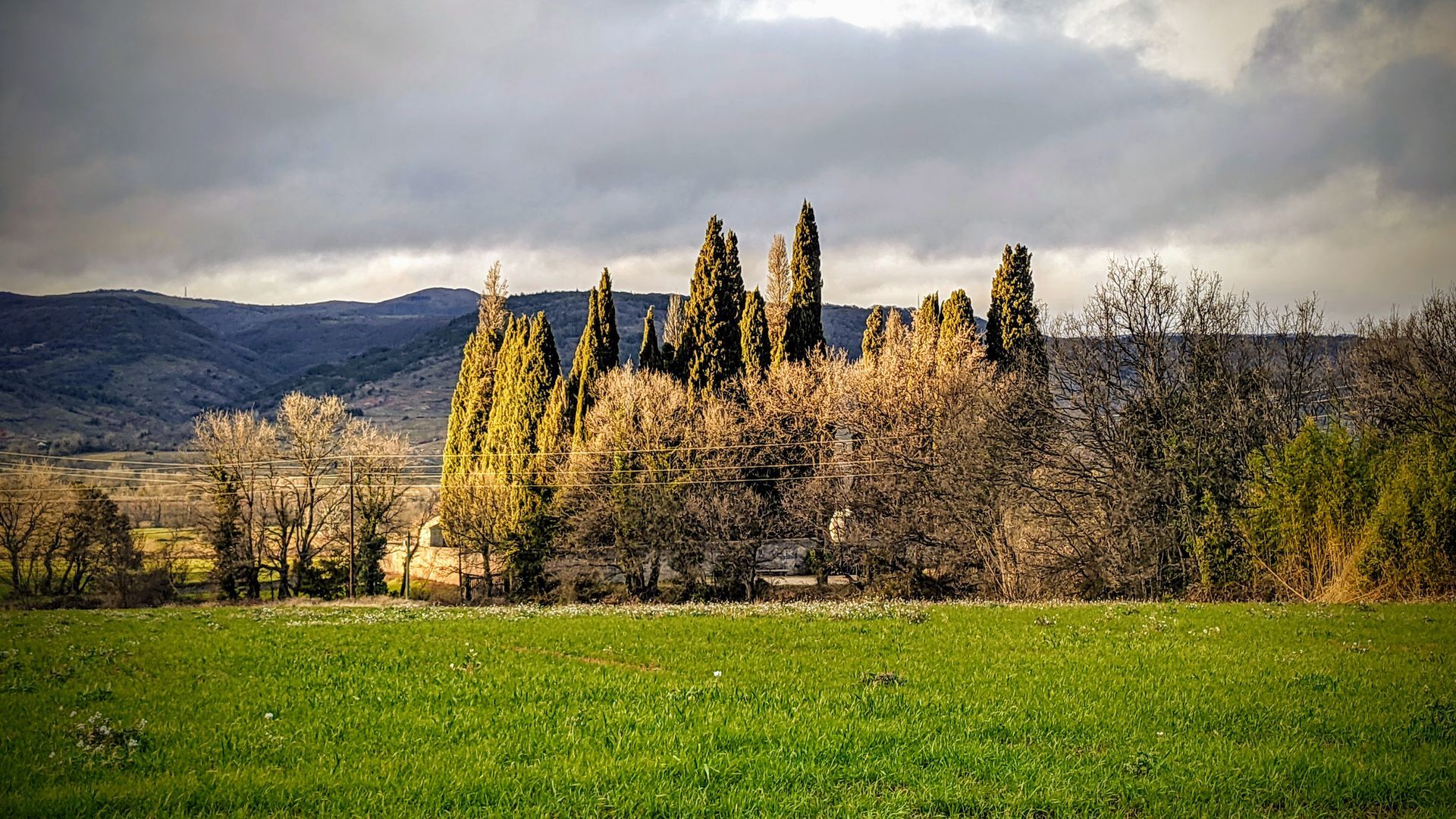
Go left. After the fence, turn left. Cross a meadow (view to the right of Caroux and Monts d'Orb).
5
In sight of the road, take a footpath to the left (former Chemin Ferrat), go through a gate (close it tightly). Go along a fence, go through two more gates and rejoin the old road. Continue straight ahead for 20 m.
6
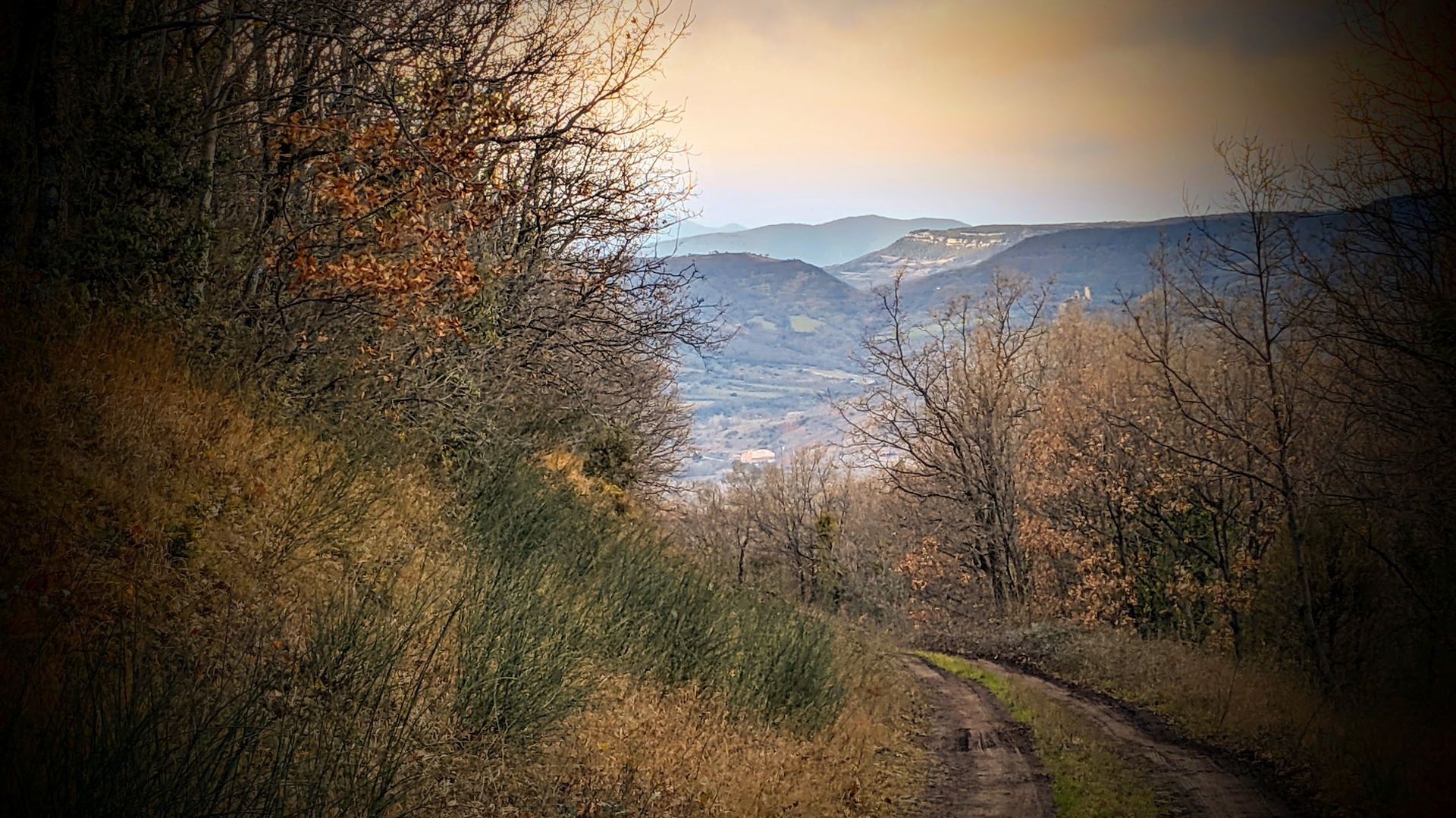
Go through the gate (close it tightly) and turn left onto a wide grassy path. Turn left at the fork. Descend the path through the undergrowth, then into the ruffes (view of Salasc, Pic de Vissou to the right and the Aigoual massif in the background). At the bottom, cross meadows, cross a stream at a waterfall and join a road. Turn right. After the school, climb a few steps to reach the parking lot.
A750, A 75 exit n°57
A750, A 75 exit n°57
Jaune PR
+33 4 67 96 23 86
Office de tourisme du Clermontais
PDIPR
Oblíbené prohlídky v okolí
-
5.0
CIRQUE DE MOUREZE HIKE
středníTuristika 6.86 km -
5.0
LES VAILHÉS HIKING TRAIL
středníTuristika 9.28 km -
5.0
MONT LIAUSSON HIKE
středníTuristika 7.36 km -
5.0
CIRCUIT N°1 LE LAC DU SALAGOU - ESPACE VTT-FFC DU SALAGOU
středníMountainbike 26.9 km -
5.0
HIKING THE RED ROCK
středníTuristika 7.01 km -
5.0
OENORANDO® THE VALLEY OF AROMAS
středníTuristika 13.7 km -
LAVAL DE NIZE HIKE
světloTuristika 6.07 km -
TRAIL OF THE TOUR OF LAKE SALAGOU (SHORES OF CLERMONT) - GR® OF THE REGION BETWEEN 2 LAKES Avène – Salagou
středníTrailrunning 25.6 km -
COURTINALS TRAIL HIKE
světloTuristika 2.36 km -
OENORANDO® OF THE BALCONS D’ALIGNAN DU VENT
středníTuristika 12.7 km
Pěší turistika a stopování


Nenechte si ujít nabídky a inspiraci pro vaši příští dovolenou
Vaše e-mailová adresa byl přidán do poštovního seznamu.





