





natur.BANK.wege | Gaflenz | Dornbergweg | 333402
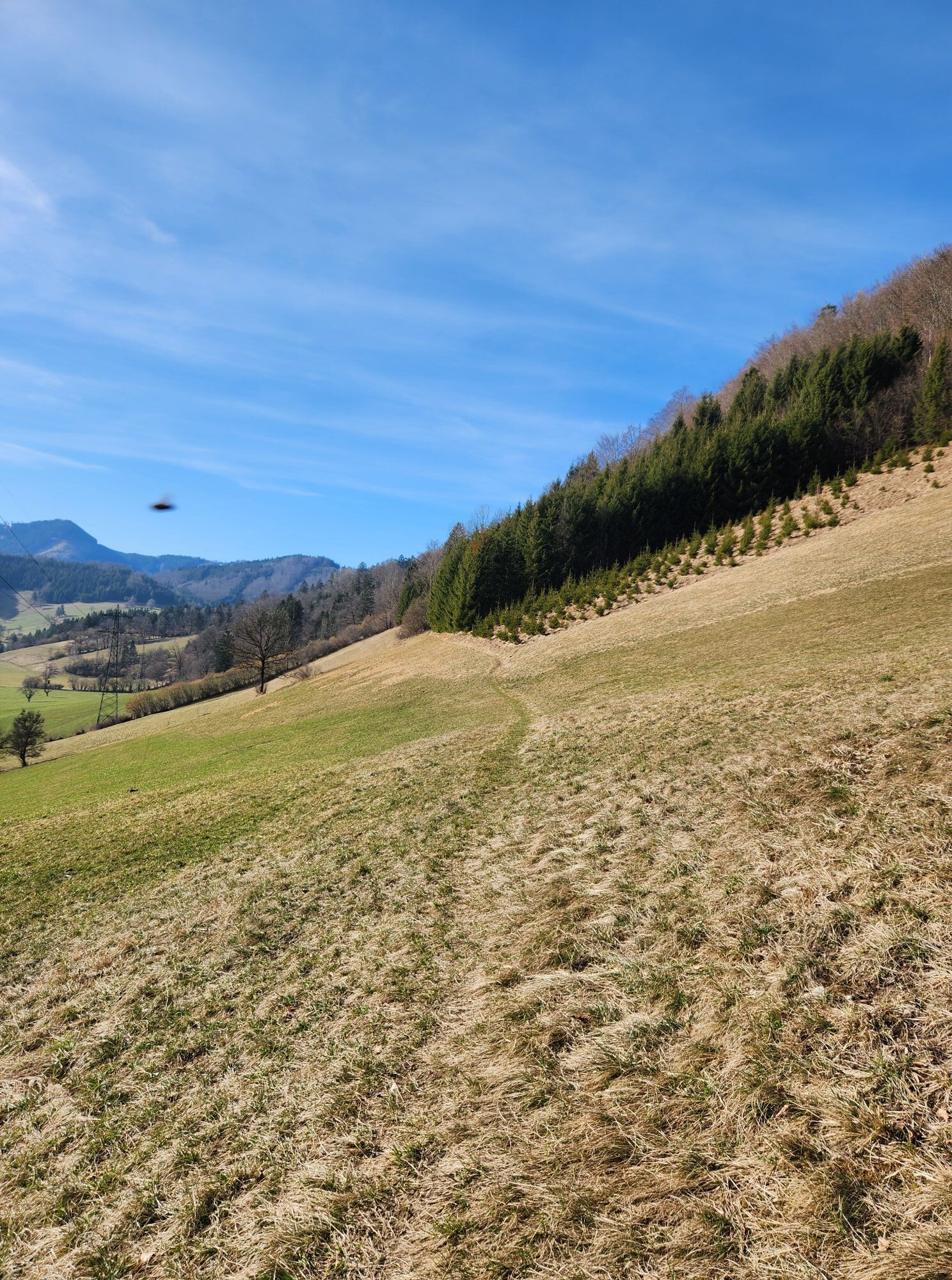

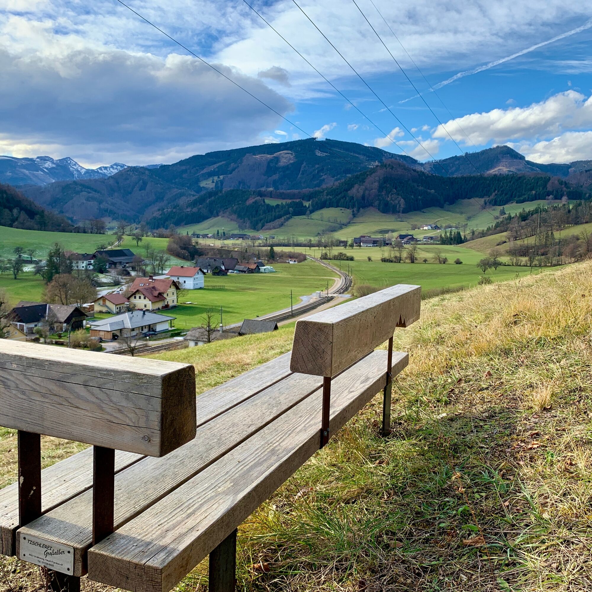
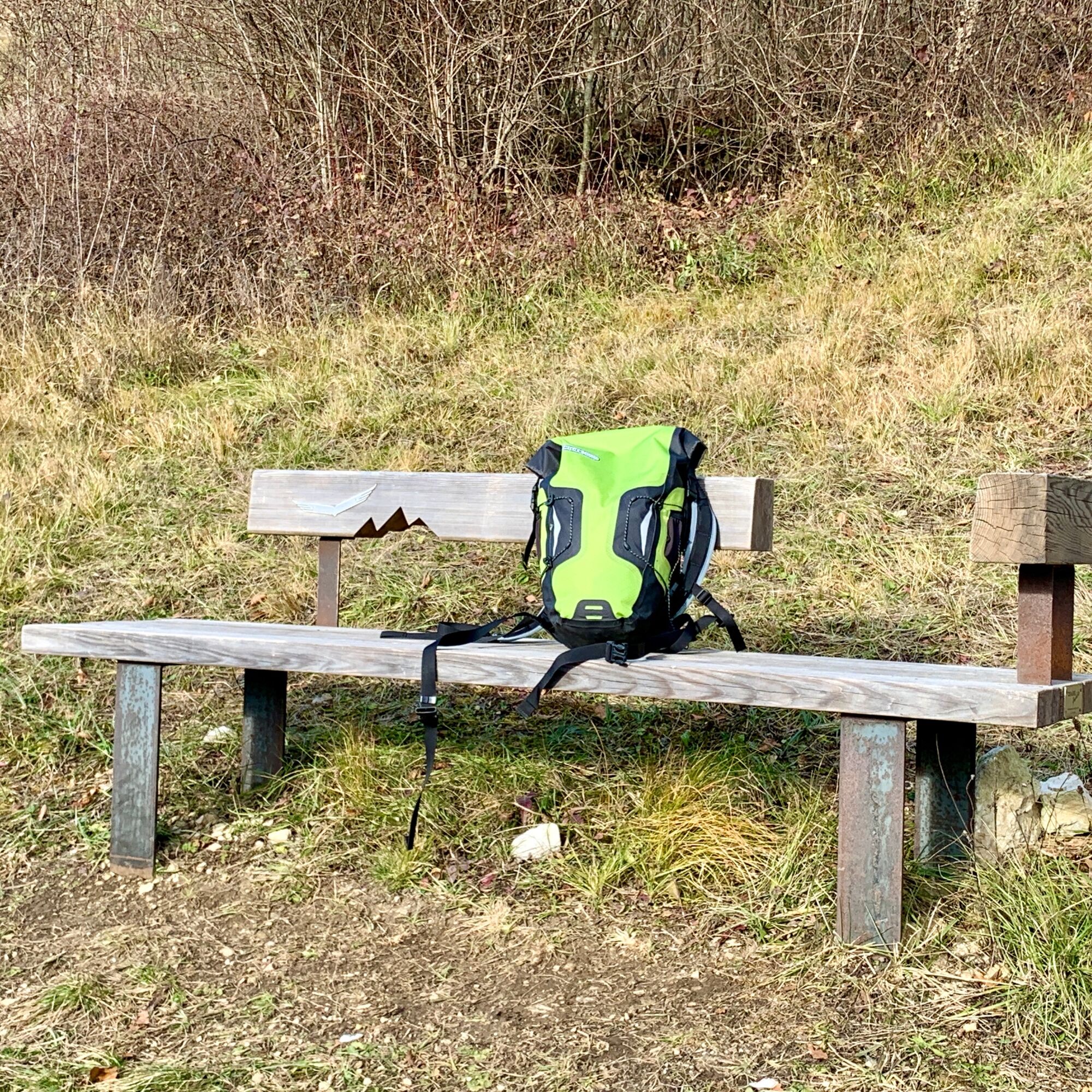
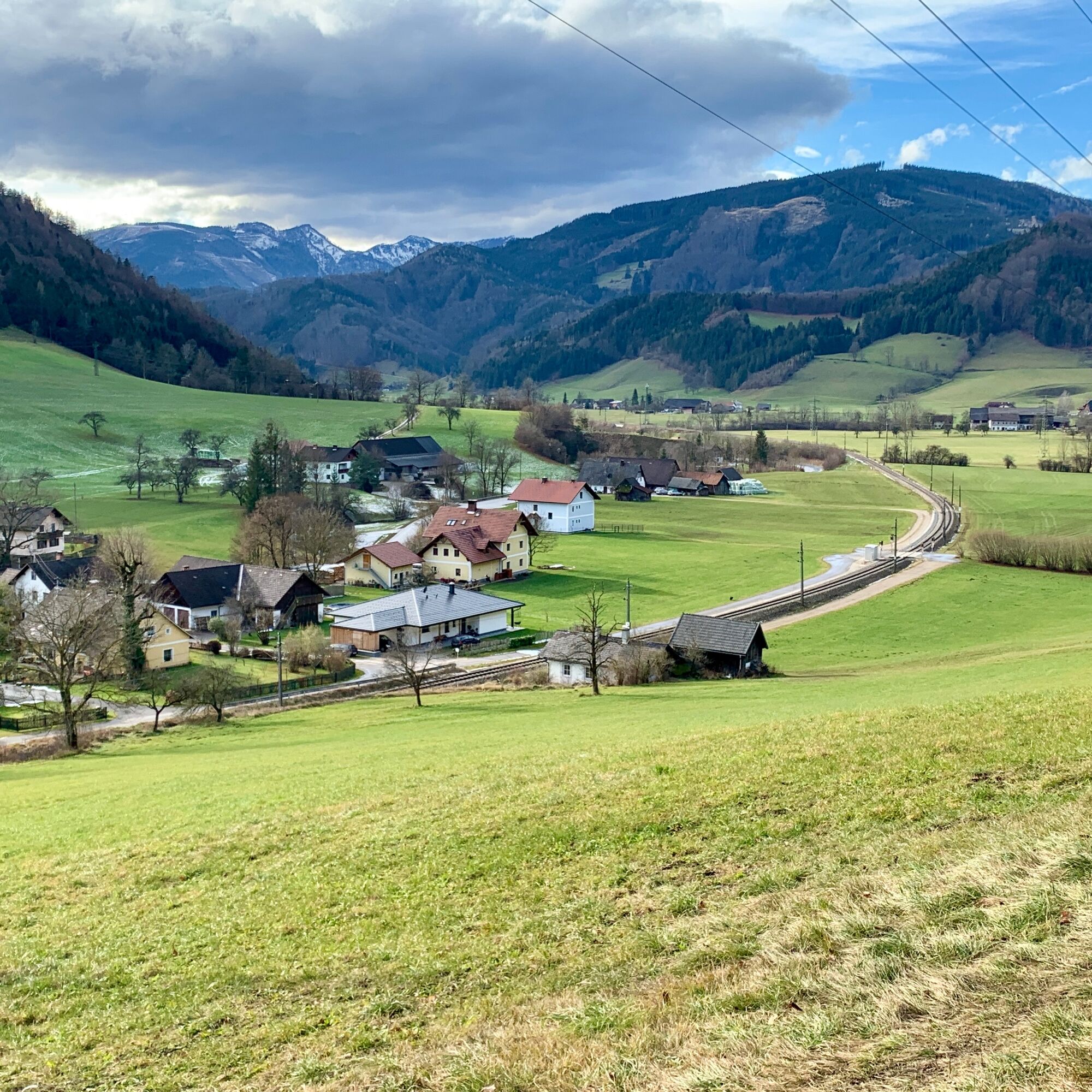

From the centre of Gaflenz, follow the Gaflenzbach stream past the Johanneskapelle chapel to the fire station. From there, you can either branch off onto the federal road or walk along the railway in the direction of the railway crossing in front of the Swietelsky construction company. On the right of the railway line, on the newly constructed path, you cross the main road after about 100 m. Follow the marked hiking trail until you reach the fire station. Follow the marked hiking trail to the first bend, where the nature bench is located. From here you have a beautiful distant view of the Almkogel.Translated with www.DeepL.com/Translator (free version)
Ano
By car from Vienna: A1 motorway exit Amstetten West > Waidhofen / Ybbs > Gaflenz
The Ennstalbahn runs between Linz and Kleinreifling, change in Kastenreith to Gaflenz or from Amstetten towards Kleinreifling.
Gaflenz town square
From the natur.bank you can hike over the Lohnsitz or also over the Sonnbergspitz to the 969 m high Weißes Kreuz (White Cross).
Získejte přehled
Vždy živě na místě s více než 9 500 webkamerami. bergfex Jako uživatel Pro si nyní můžete zobrazit odpovídající webové kamery pro mnoho prohlídek v aplikaci prohlídky z. Můžete si tak přímo prohlédnout aktuální podmínky.
Oblíbené prohlídky v okolí
-
4.9
Ennser Hut - Almkogel (from Bamacher car park)
středníTuristika 3.53 km -
4.7
GROSSRAMING Bamacher, Burgspitz, Almkogel, Ennshütte 20240730
středníTuristika 10 km -
4.6
Opponitz Gorge Hiking Trail
středníTuristika 4.42 km -
4.3
Freithofberg
středníTuristika 9.15 km -
4.1
wanderung auf den alpl
středníTuristika 8.18 km -
4.4
Kleine Gipfelrunde Glasenberg
světloTuristika 4.99 km -
3.8
Lindaumauer (1103 m)
Turistika 3.40 km -
4.5
Lindaumauer, Maria Neustift
středníTuristika 5.53 km -
4.1
Hollenstein Stupfmauer Voralpe Tanzboden retour 20.08.2016
středníTuristika 15.6 km -
4.5
Burgspitz, Almkogel, Wieser, Langlackenmauer und zurück
středníTuristika 13.5 km

Pěší turistika a stopování


Nenechte si ujít nabídky a inspiraci pro vaši příští dovolenou
Vaše e-mailová adresa byl přidán do poštovního seznamu.





