


At a gallop to the inner-German border
This route is historically significant in two ways: Firstly, it illustrates the nature-friendly forestry practiced by the forest owners, the Bernstorff counts based in Gartow, for over 100 years. Secondly,...
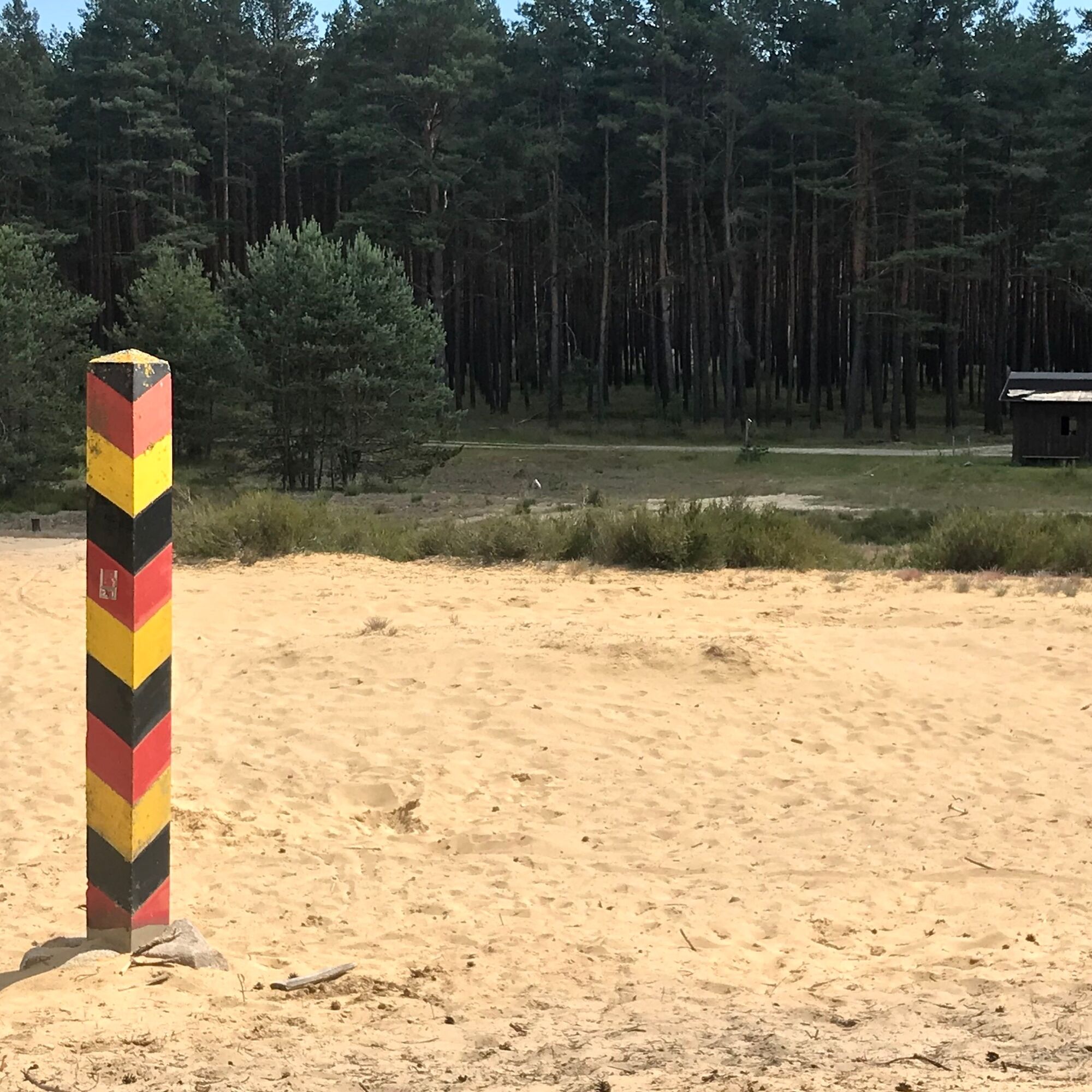
This route is historically significant in two ways: Firstly, it illustrates the nature-friendly forestry practiced by the forest owners, the Bernstorff counts based in Gartow, for over 100 years. Secondly, the inner-German division comes alive again when the path runs for a stretch along the former inner-German border.

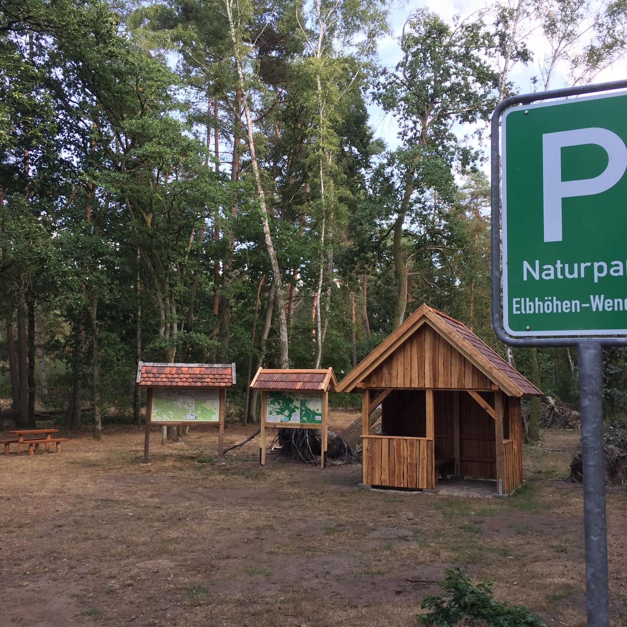

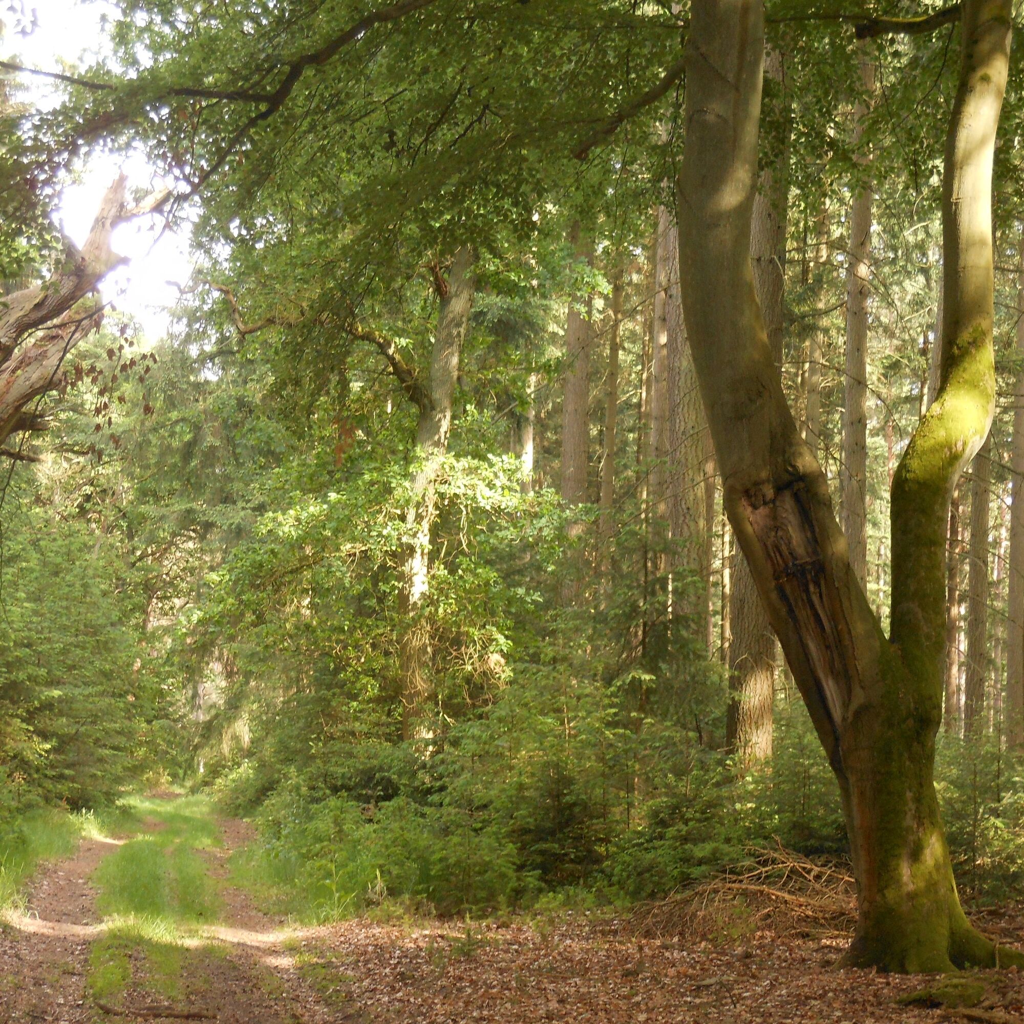
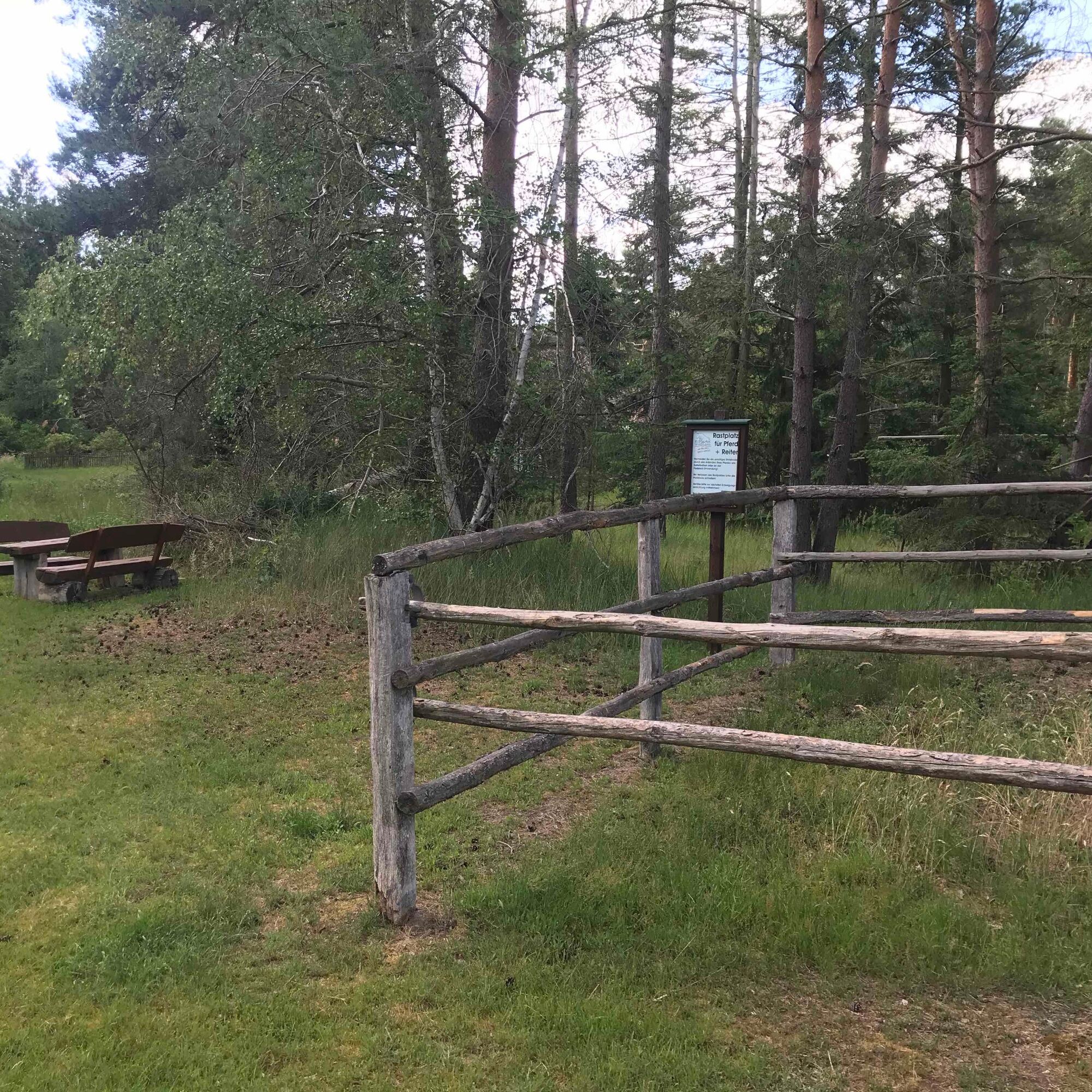
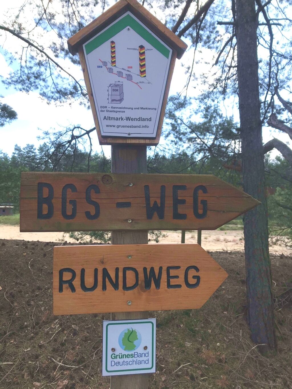
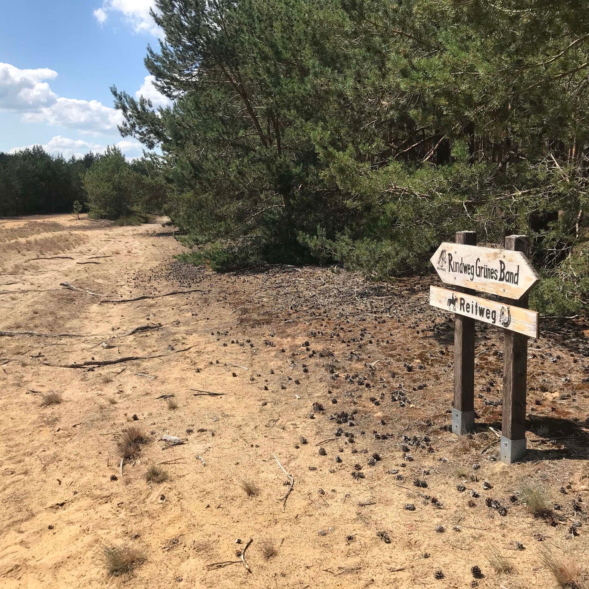
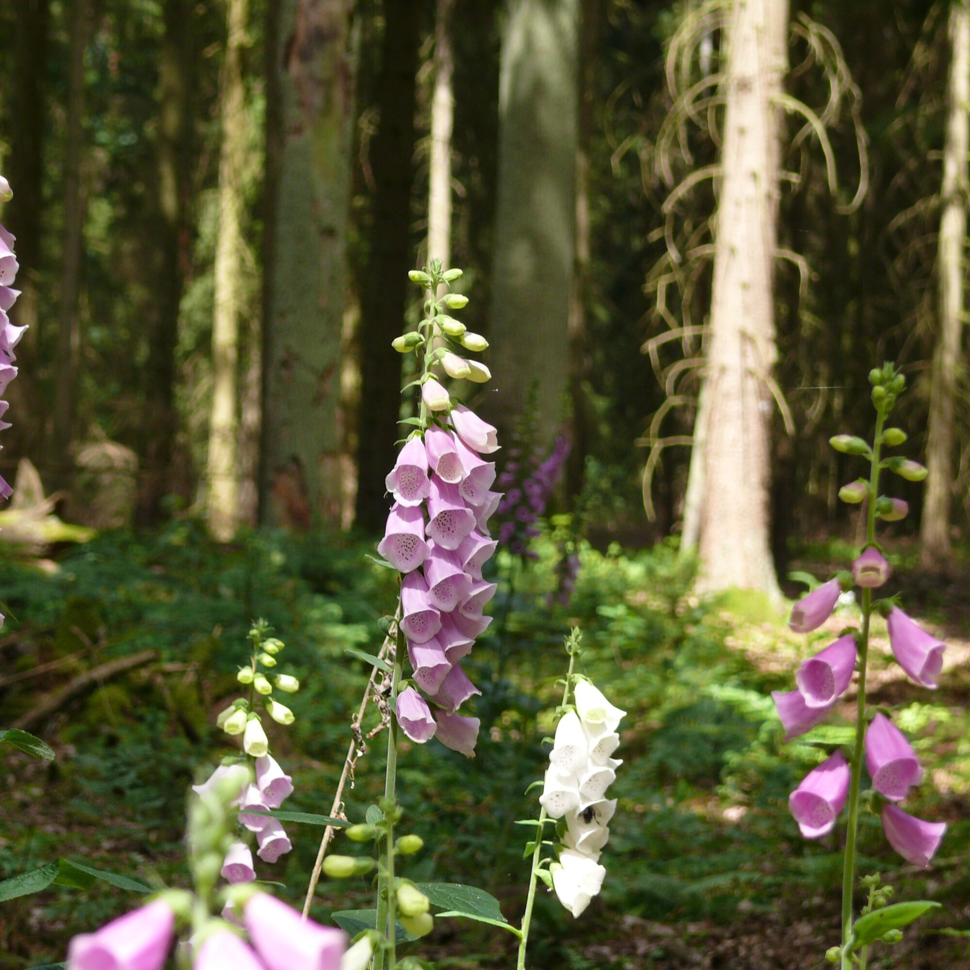
Consistently sandy paths, partly slightly hilly terrain, await riders on the path marked with orange-red dots. Long stretches straight ahead invite galloping during the approximately 20 km route, while others call for slow pace and attentive observation.
The entire Gartow region is wolf territory. An encounter with a wolf is very unlikely, but possible.
Please be considerate of hunting operations and avoid using the route in the very early morning or late evening hours. Hunting, for example of roe deer, is essential for converting pine forests into species-rich mixed forests and is an integral part of nature-friendly forestry.
Drive from Hamburg via the A1 (signposted towards Bremen), A39 (signposted towards Lüneburg) to Lüneburg. From there, take the B216 (signposted towards B216/Dannenberg/Dahlenburg/Bleckede) to Dannenberg and follow the L256 to Gartow.
From Berlin, take the A10 (signposted towards Hamburg), A24 (also towards Hamburg), and continue on the B189 (towards Pritzwalk/Heiligengrabe). Then follow the B493 to Gartow.
For information about equestrian sports in the Gartow region, interested parties can find various details on the homepage of the collective municipality of Gartow.
If you want to learn more about nature-friendly forestry, please visit the Bernstorff estates homepage.
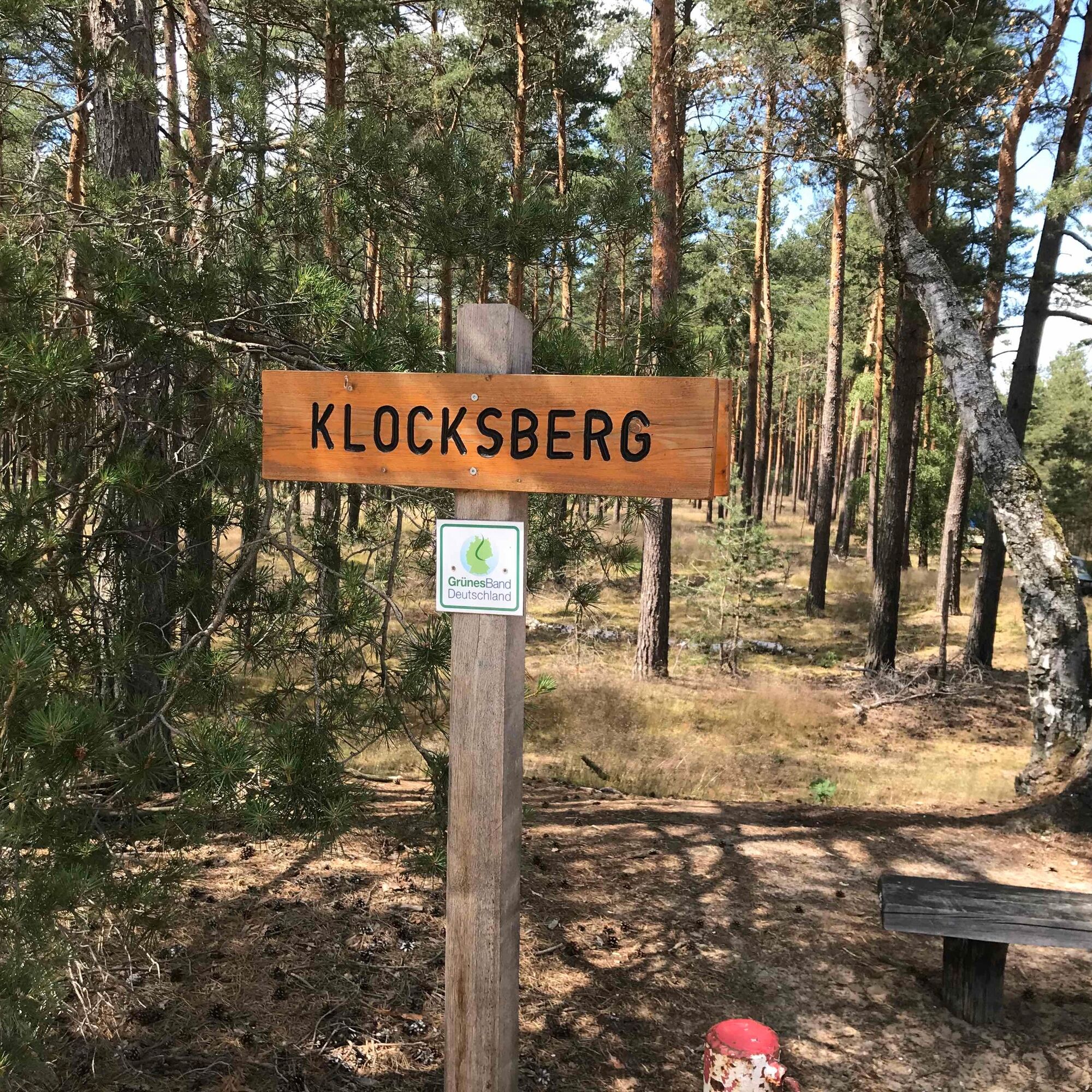
A description of the Wirler Spitze can be found at Wirler Spitze and Klocksberg.
An additional hike titled "Memorial ‘Simon Cross’ – Wirler Spitze" is offered here.
Worth seeing: Borderland Museum Schnackenburg, Schnackenburg, information available.
Near the path stands the so-called "Simon Cross," which commemorates an attempted escape by the brothers Bernhard and Siegfried Simon in 1963. Bernhard Simon was so severely injured by a mine that he died. Recommended reading: Annette Kaminsky, Ruth Gleinig, Stiftung zur Aufarbeitung der SED-Diktatur (Germany) - 2016
Oblíbené prohlídky v okolí
-
Lenzerwische-Tour
světloJízda na kole 27.2 km -
Auenerlebnistour in der Elbe-Aland-Niederung
Jízda na kole 27.4 km -
Altmark round route: From Arendsee to the Hanseatic city of Seehausen
středníJízda na kole 56.2 km -
Borderland route (Altmark, Lower Saxony, Brandenburg)
světloJízda na kole 54.8 km -
The ark of biodiversity
světloJízda na koni 25.0 km -
Where sea eagles, beavers and storks live
světloJízda na koni 12.5 km -
Pines, cranes and orioles in the treetops
světloJízda na koni 8.11 km -
Meadows, forests and a wildlife enclosure
světloJízda na koni 5.90 km -
Through the Gartow pines to the Nemitzer Heide
světloJízda na koni 18.4 km -
About happy chickens and natural forests
světloJízda na koni 7.03 km
Pěší turistika a stopování


Nenechte si ujít nabídky a inspiraci pro vaši příští dovolenou
Vaše e-mailová adresa byl přidán do poštovního seznamu.