







"T3" - Themed circular cycle route - journey through history - in the karst
Úroveň obtížnosti: 6
The themed circular cycle route "T3" leads through the town of Bad Sachsa and its districts Tettenborn, Steina as well as the municipality of Walkenried and the district Wiedigshof, passing a variety of...
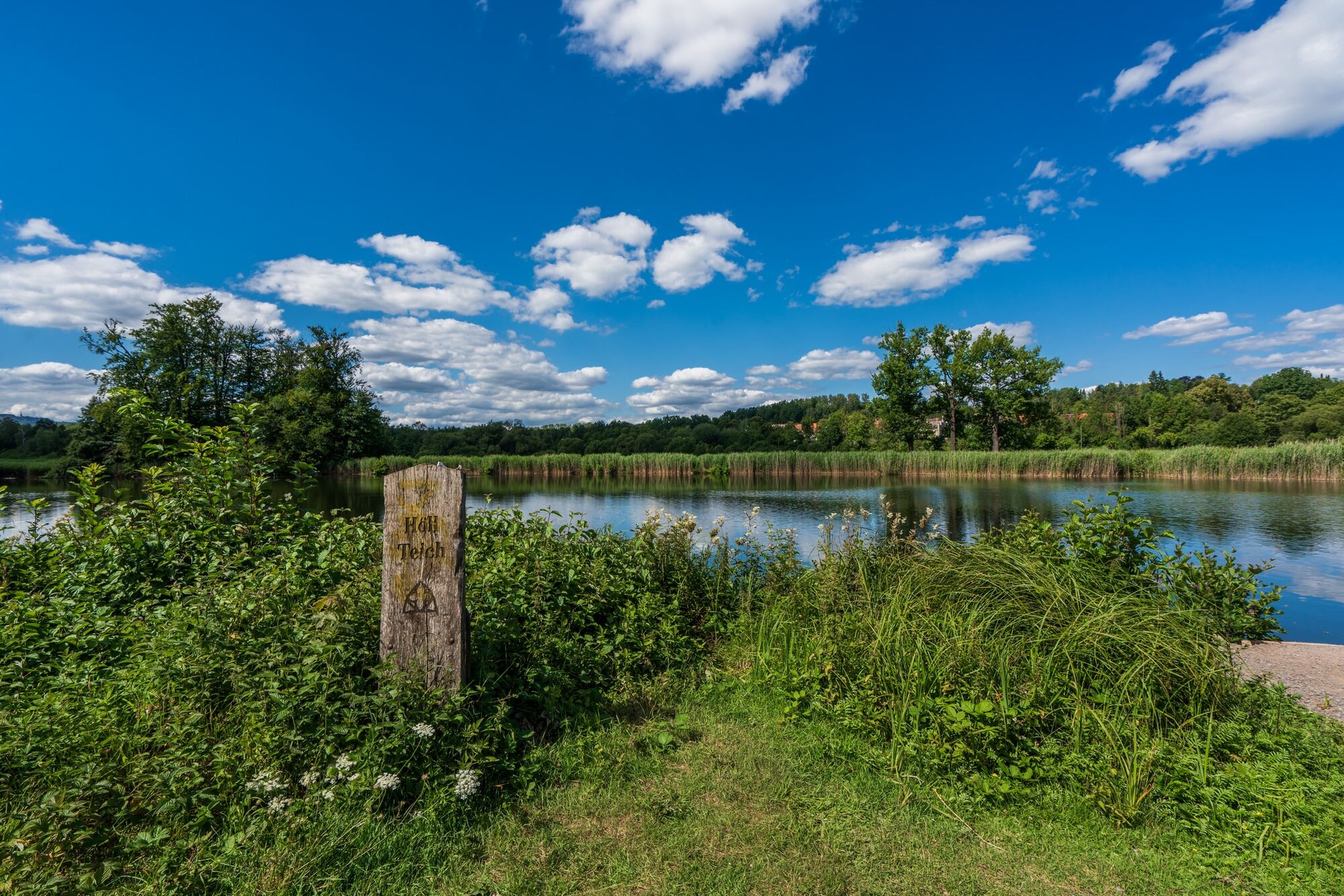
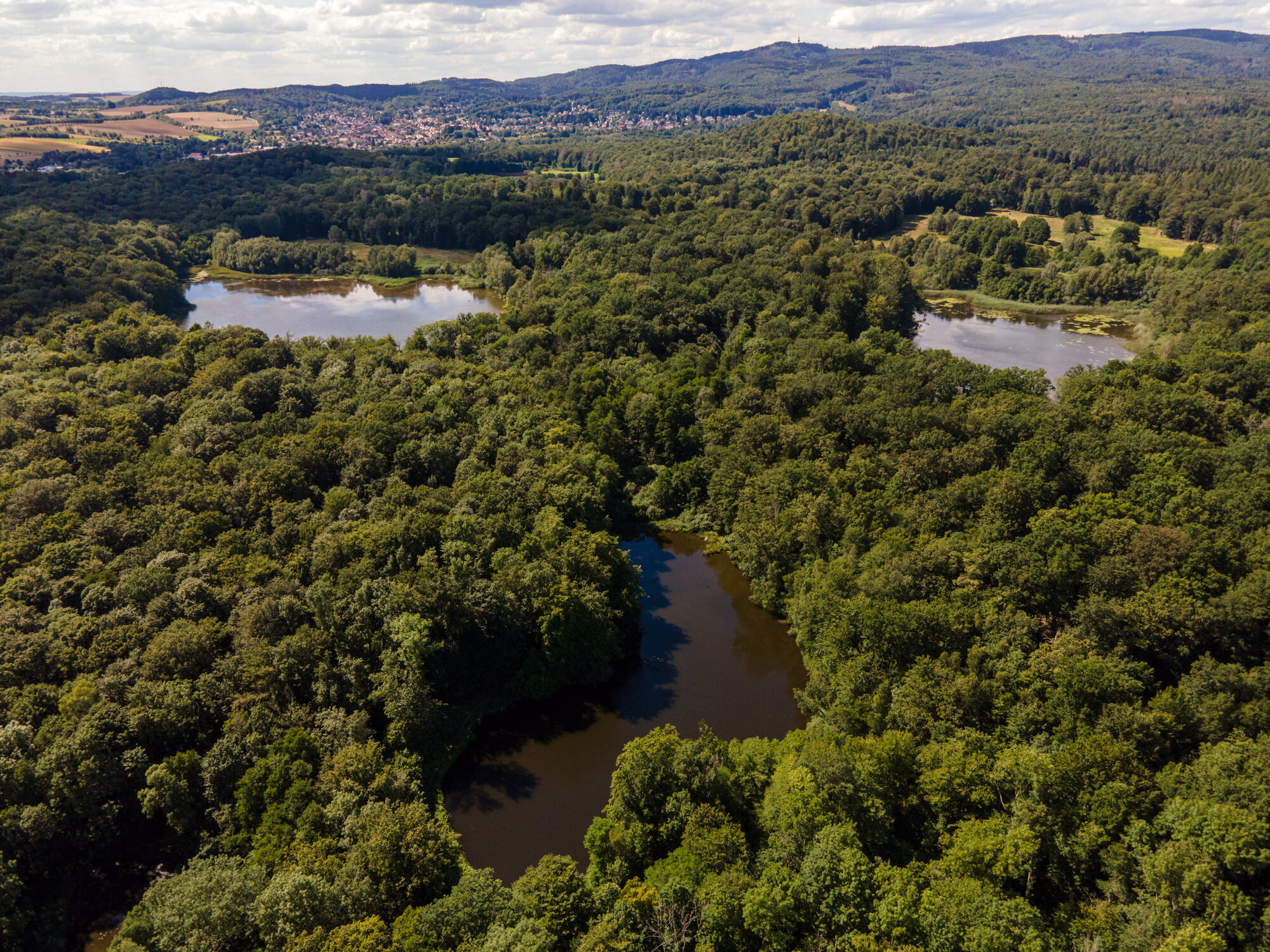
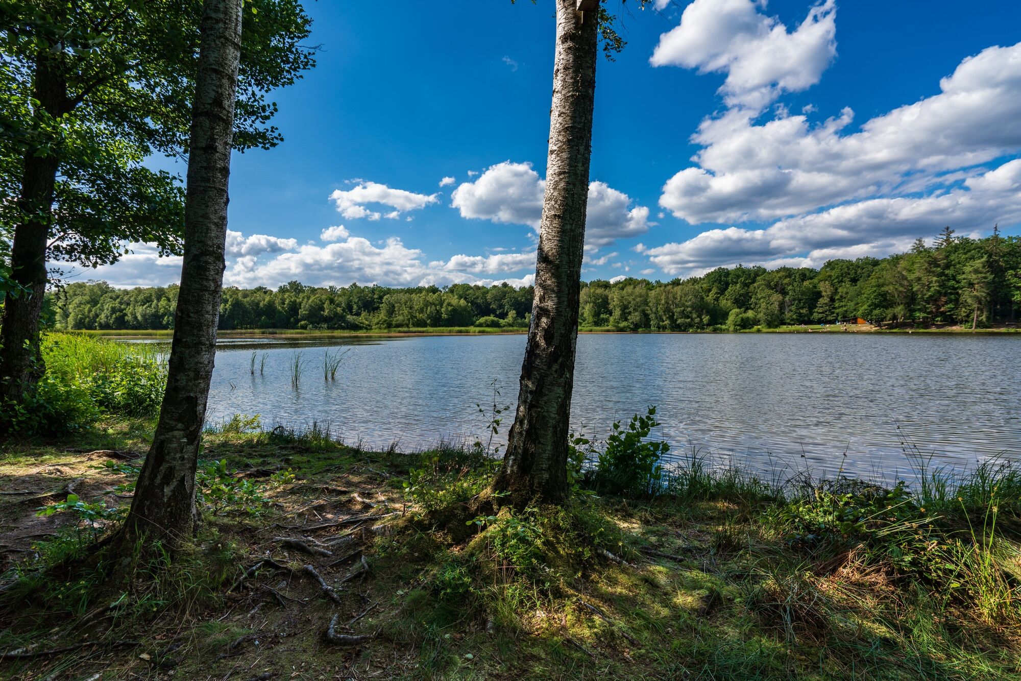
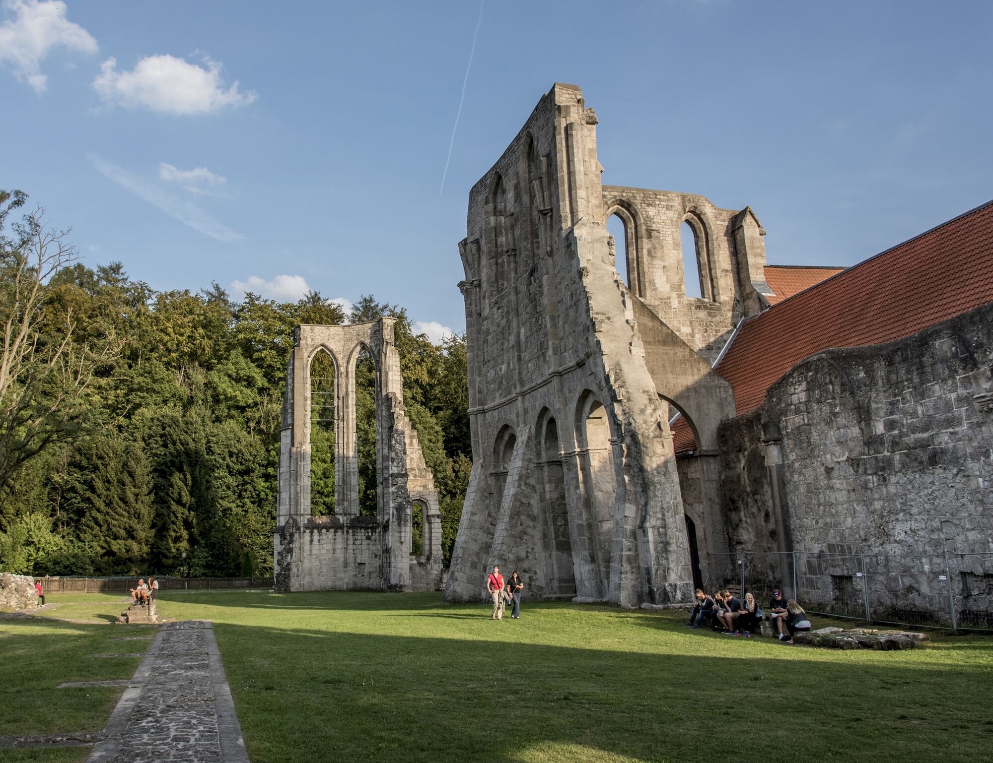
The themed circular cycle route "T3" leads through the town of Bad Sachsa and its districts Tettenborn, Steina as well as the municipality of Walkenried and the district Wiedigshof, passing a variety of natural and cultural monuments. The new route runs through the districts Obersachswerfen, Branderode and Klettenberg of the municipality of Hohenstein. The "T3" runs on agricultural and forest roads as well as side roads with little traffic. The cycle route is fully signposted (T3 logo).

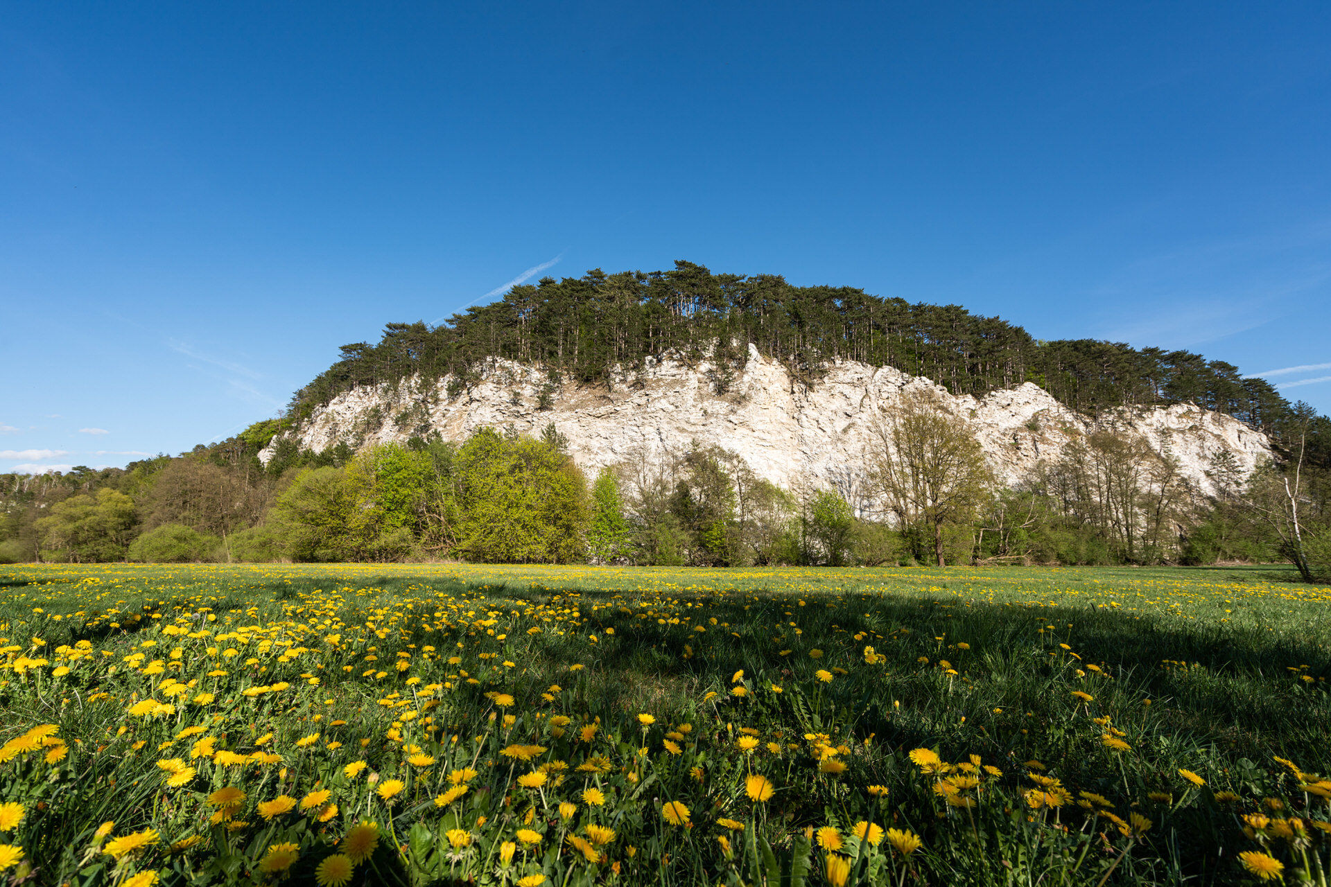
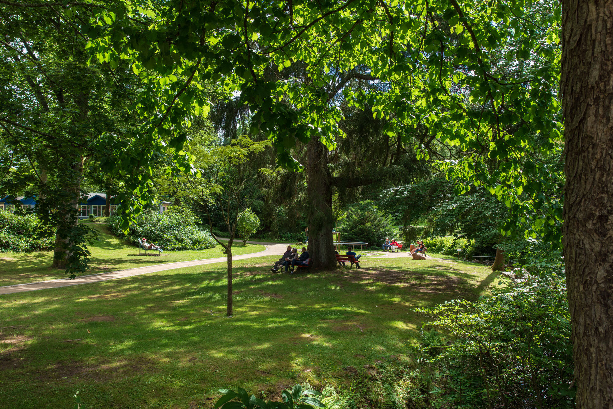
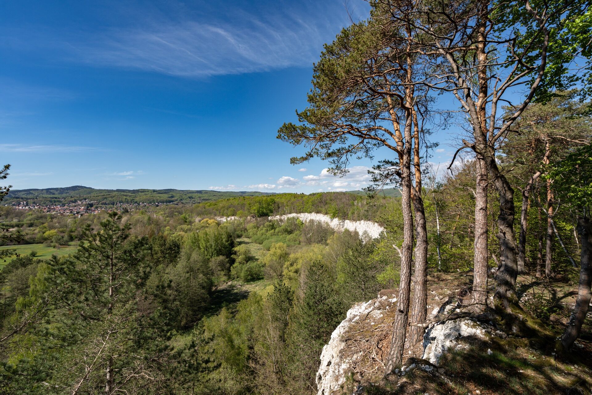


You can start at Bad Sachsa or Walkenried train station.
6
Tourist Information Bad Sachsa
Am Kurpark 6
37441 Bad Sachsa
Phone: 05523 47499-0
Email: info@bad-sachsa-urlaub.de
Internet: www.badsachsa.de
District of Göttingen, Regional Management Osterode am Harz
Herzberger Str. 5
37520 Osterode am Harz
Phone: 05522 960-4425/4426
Email: freizeitportal@landkreisgoettingen.de
Internet: www.landkreisgoettingen.de / www.goettingerland.de
Oblíbené prohlídky v okolí
- 4.0
Aufstieg zum Bismarckturm
světloTuristika 4.67 km - 5.0
South Harz Railway Cycle Path (SHE)
středníJízda na kole 24.8 km - 5.0
Zorge 3 Stempel
heavyTuristika 8.41 km Karstwanderweg Südharz | mit der Nordvariante im Landkreis Göttingen
středníTuristika 167.7 kmBad Lauterberg 1
světloTuristika 15.3 kmKarstwanderweg Südharz | mit der Südvariante im Landkreis Göttingen
středníTuristika 181.8 kmGroß Lengden - Sonnenstein
heavyJízda na kole 69.5 kmGipspfad Mehholz
středníTuristika 2.52 kmHarzer BaudenSteig 4: Von Bad Lauterberg nach Bad Sachsa
středníTuristika 11.4 kmDuderstadt. Wanderung zur Rhumequelle
Turistika 33.2 km
Pěší turistika a stopování


Nenechte si ujít nabídky a inspiraci pro vaši příští dovolenou
Vaše e-mailová adresa byl přidán do poštovního seznamu.





