







South Harz Railway Cycle Path (SHE)

Úroveň obtížnosti: 4
Cycle route Walkenried - Braunlage
Route on the track of the former South Harz Railway. Want to discover the entire length of the South Harz Railway? This is now possible in a fascinating way by bicycle:...
Cycle route Walkenried - Braunlage
Route on the track of the former South Harz Railway. Want to discover the entire length of the South Harz Railway? This is now possible in a fascinating way by bicycle: on the South Harz Railway cycle path. The route runs from Walkenried to Braunlage, mostly on the railway track of the South Harz Railway closed in the 1960s. The approx. 25 km are characterized by the railway-typical moderate gradient. This is manageable even for inexperienced cyclists, despite overcoming more than 300 meters of altitude from Walkenried (275 m above sea level) to the High Harz at over 600 m above sea level.
Scenically, the route passes through the deciduous forests of the South Harz and the spruce forest of the Upper Harz. With many twists and turns, along steep mountain slopes, wide-ranging views, numerous stream crossings, past former stations and deep rock cuttings, each section is attractive and as a whole offers an impressive ascent from the southern edge of the Harz to the Upper Harz.

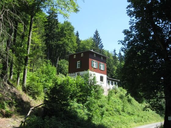

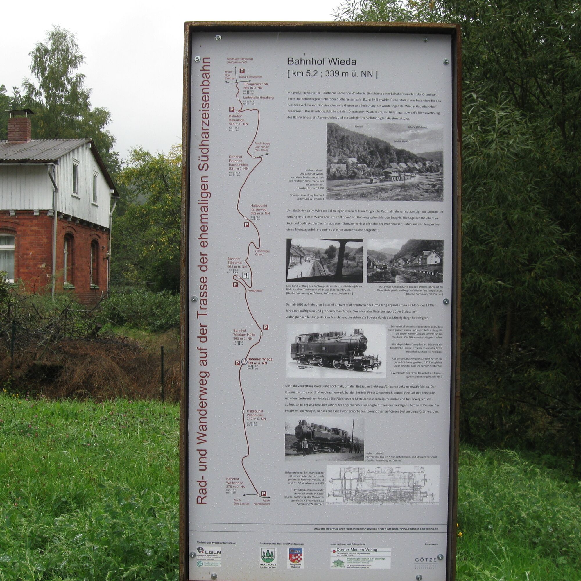


From the starting point (Walkenried station) we follow the signage (SHE signposting).
Ano
4
Tourist Information municipality of Walkenried, Steinweg 4, 37445 Walkenried
Phone: 05525-9989000
Internet: www.walkenried-tourismus.de
Tourist Information Braunlage, Elbingeröder Str. 17, 38700 Braunlage
Phone: 05520-93070
Internet: www.braunlage.de
Further links:
http://www.südharz-eisenbahn.de/
http://www.bahntrassenradwege.de/index.php?page=suedharz-eisenbahn-radweg
Watch out for the witnesses of history along the way: impressive milestone markers and former stations or stops. Discover the informative display boards with historical pictures...
...and simply enjoy the beautiful nature!

Webové kamery z prohlídky

Oblíbené prohlídky v okolí
-
4.5
Trail Brocken über Ecklochstieg Schierke
heavyTuristika 12.9 km -
4.6
Schierke / Brocken / Schierke
heavyTuristika 15.2 km -
4.3
Brockentour
světloTuristika 18.8 km -
3.8
vom Oderteich zur Achtermannshöhe
středníTuristika 11.3 km -
4.4
Oderteich
světloTuristika 5.13 km -
4.8
Wege zum Brocken - ab Oderbrück
středníTuristika 7.71 km -
5.0
von Königskrug zum Wurmberg
středníTuristika 13.6 km -
4.6
Schierke - Nördliche Schnarcherklippe - Barenberg - Brocken
heavyTuristika 21.8 km -
3.3
Königskrug zur Achtermannshöhe HWN 12, Schotterweg rechtsseitig hinauf, Geröllweg hinunter
středníTuristika 4.96 km -
4.5
Torfhaus-Oderteich-Märchensteig
světloTuristika 8.54 km
Pěší turistika a stopování


Nenechte si ujít nabídky a inspiraci pro vaši příští dovolenou
Vaše e-mailová adresa byl přidán do poštovního seznamu.





