







Teufelsstein

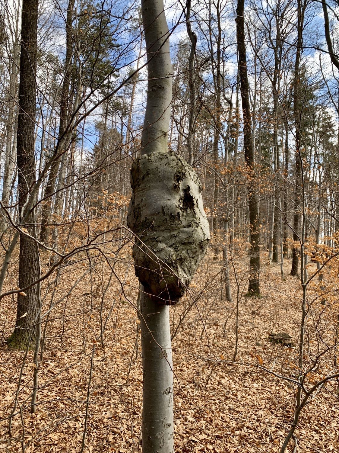
Starting from the cozy town of Wiesmath, hikers can expect a relaxed but rather demanding circular route towards Lehen. The highlight of the hike is the Teufelsstein, which is legendary and known for treasures...
<p>Starting from the cozy town of Wiesmath, hikers can expect a relaxed but rather demanding circular route towards Lehen. The highlight of the hike is the Teufelsstein, which is legendary and known for treasures said to be buried there.</p>

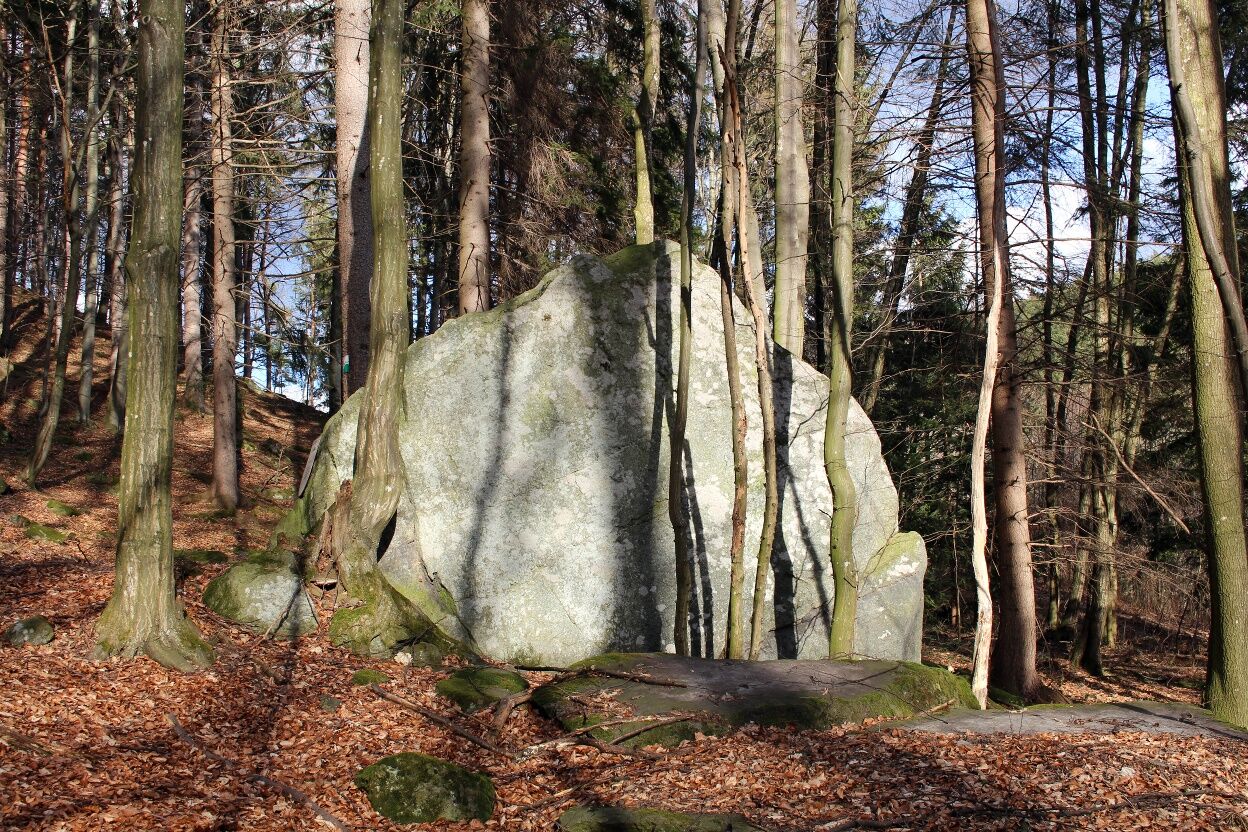
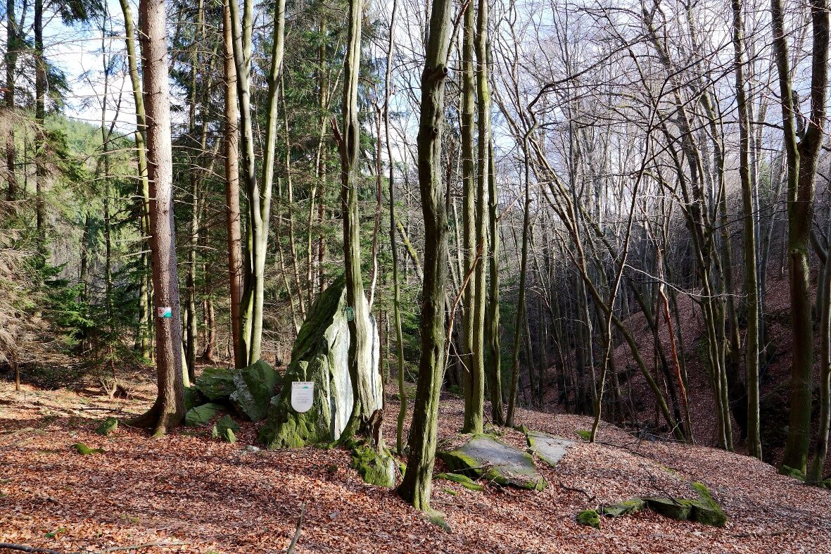

<p>The starting point of the hike is the parking lot in the center of Wiesmath. From there, follow the signposts along route No. 6 to the Höhenstraße. Then go along Landseerstraße, south towards Lehen. This leads to the Teufelstein, the main feature of this hiking trail. Returning via Lehen, the route goes to Königsbrunn up to the Sperkerriegel, until Landseerstraße is reached again. Then the path ends again at the parking lot in the town.</p>
<p>Always take suitable <strong>maps</strong> with you. Wear sturdy <strong>shoes</strong> adapted to the route, take sun and rain protection as well as water and a snack. Take your <strong>mobile phone</strong> with you and save the mountain rescue emergency number: 140</p>
<p>Your hikes in the Vienna Alps should be a completely beautiful and safe experience. Please therefore observe the following:</p><p><strong>Preparation </strong></p><p>Ensure when choosing the route that it matches your mountain experience and <strong>fitness</strong>. Inform yourself beforehand about the <strong>weather forecast</strong>. Weather can change surprisingly fast in the mountains. Therefore, always set off properly equipped (e.g., rain protection).</p><p>Check whether the <strong>huts and snack stations</strong> you want to visit on the way are open. <strong>Inform</strong> someone about your chosen route and your planned return before you set off.</p><p> More safety tips for your hike can be found <a href="www.wieneralpen.at/sicherheit-am-berg...
<p>Approach from the north via the A23 and A2.</p><p>Coming from the south, follow the A2 and B50.</p>
<p>More information at <a href="www.vor.at">www.vor.at</a> and <a href="www.oebb.at">www.oebb.at</...
<p>Ample parking spaces are available in the town center.</p>
Vienna Alps in Lower Austria, www.wieneralpen.at, +43 / 2622 / 78960
Opening hours: Mon - Thu 08:30 - 16:00 / Fri 08:30 - 13:00
Königsbrunn is also worth seeing on the way back.
Získejte přehled
Vždy živě na místě s více než 9 500 webkamerami. bergfex Jako uživatel Pro si nyní můžete zobrazit odpovídající webové kamery pro mnoho prohlídek v aplikaci prohlídky z. Můžete si tak přímo prohlédnout aktuální podmínky.
Oblíbené prohlídky v okolí
-
4.2
"Weg der Blicke"
světloTuristika 5.86 km -
4.0
Bucklige Welt: Burg Grimmenstein und Kulmriegel
světloTuristika 10.5 km -
4.5
To the Wiesen/Lanzenkirchen observation tower from the Rosalia
světloTuristika 4.25 km -
4.6
Forchtenstein-Rosalienkapelle
světloTuristika 7.86 km -
4.0
Rosalia: Lanzenkirchen - Aussichtsturm
světloTuristika 11.1 km -
4.5
Hochegger Höhenweg
světloTuristika 4.55 km -
4.2
MTB Buma Bia - route
heavyMountainbike 25.5 km -
2.9
Sonnenland Draisinentour
světloJízda na kole 23.0 km -
4.0
Rundtour bei Seebenstein
světloTuristika 9.29 km -
4.8
B41 Zöberntal-Rabnitztal cycle trail
středníJízda na kole 40.7 km
Pěší turistika a stopování


Nenechte si ujít nabídky a inspiraci pro vaši příští dovolenou
Vaše e-mailová adresa byl přidán do poštovního seznamu.





