







To the Wiesen/Lanzenkirchen observation tower from the Rosalia

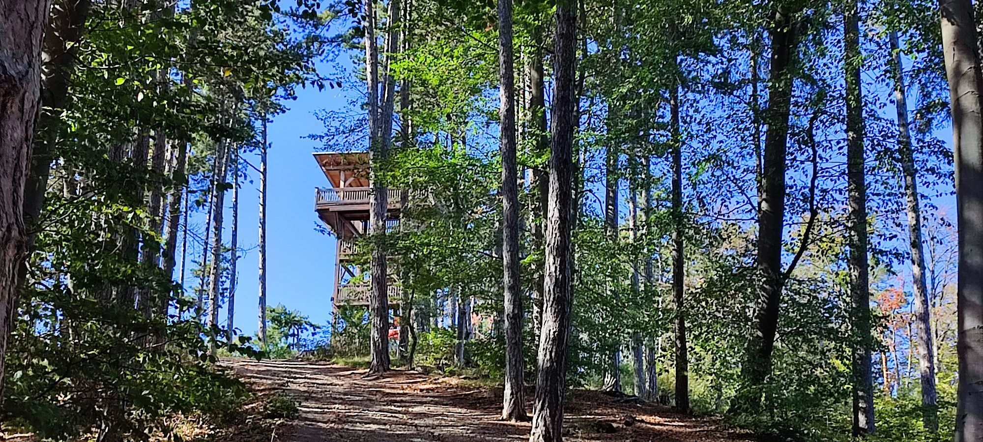
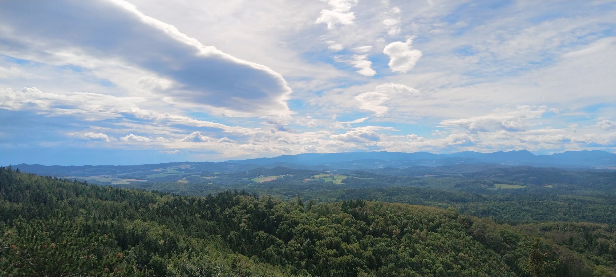
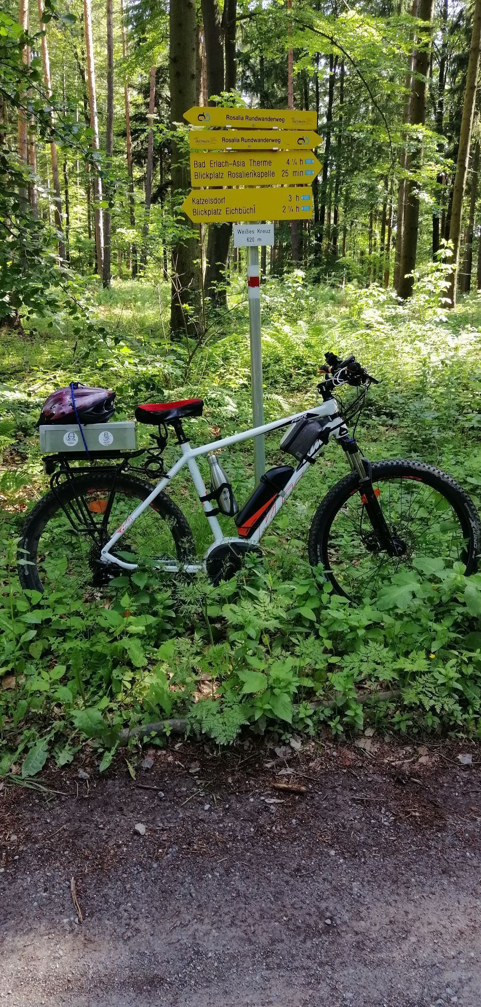
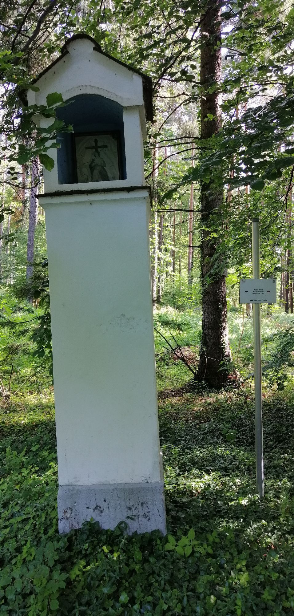
This beautiful hike is also especially suitable for older people and families with strollers since, if you wish, you can choose your route along the forest road and walk the same path back. The Wiesen/Lanzenkirchen...
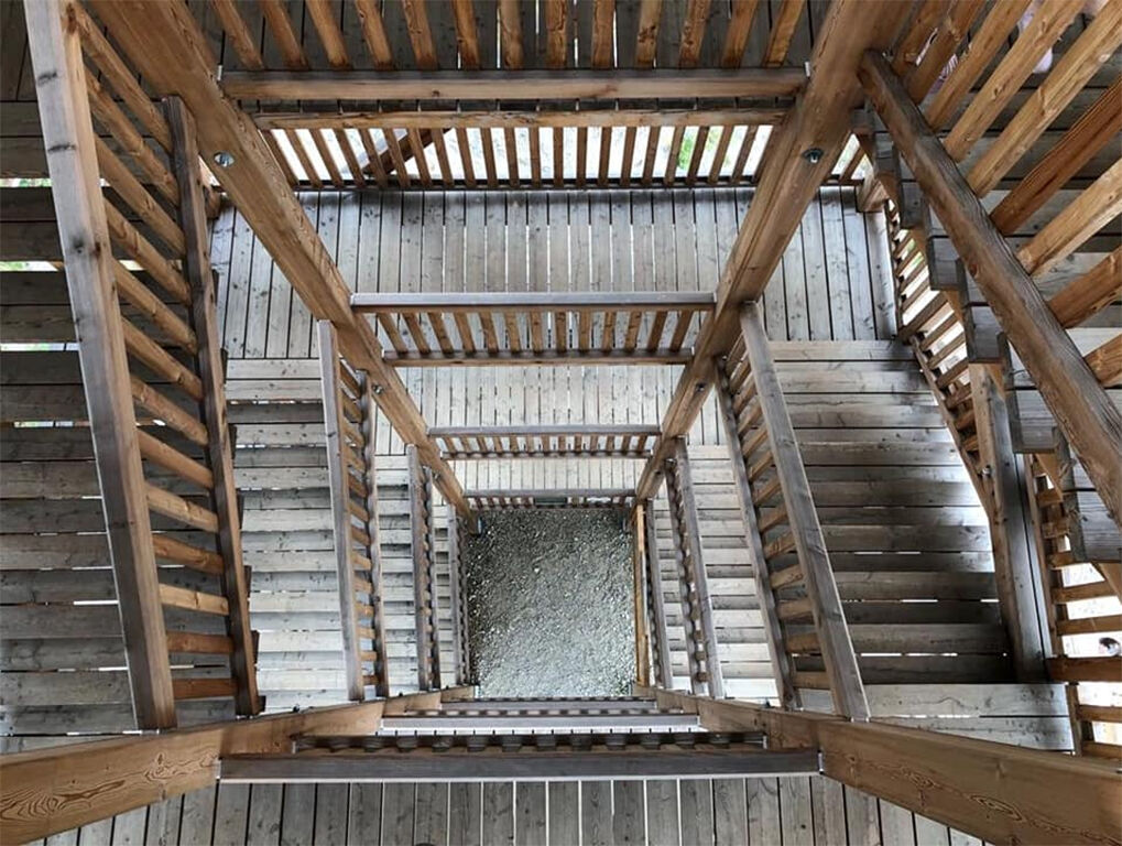
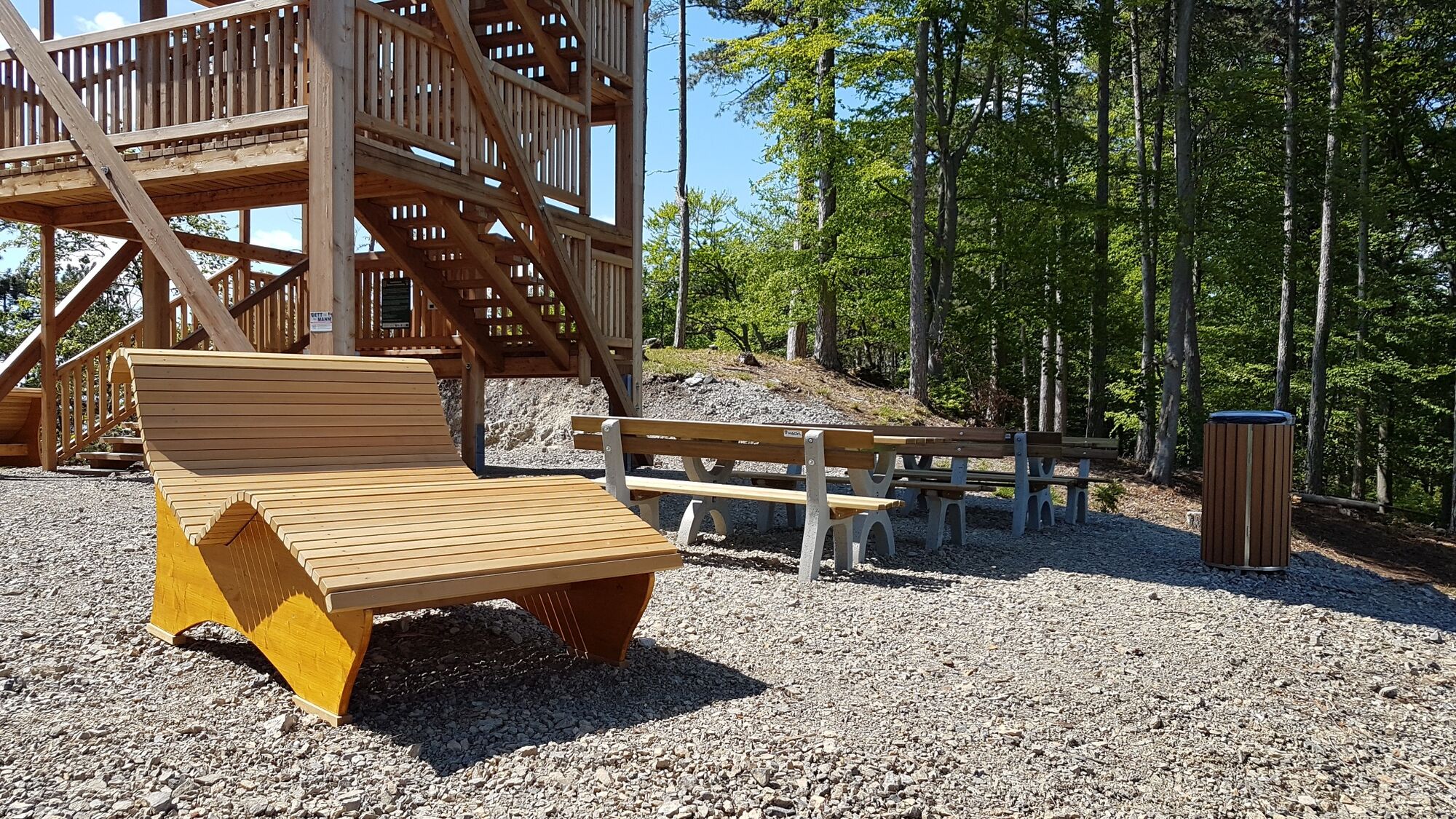
This beautiful hike is also especially suitable for older people and families with strollers since, if you wish, you can choose your route along the forest road and walk the same path back. The Wiesen/Lanzenkirchen observation tower on Steinkogel was built across state borders on the Burgenland/Lower Austria border. The tower is 15 meters high and offers magnificent views. On one side, you can see Schneeberg, Steinfeld, and Bucklige Welt; on the other, you look over the entire Wulka valley to Lake Neusiedl. Relaxing loungers and benches with tables invite you to linger and have a snack.

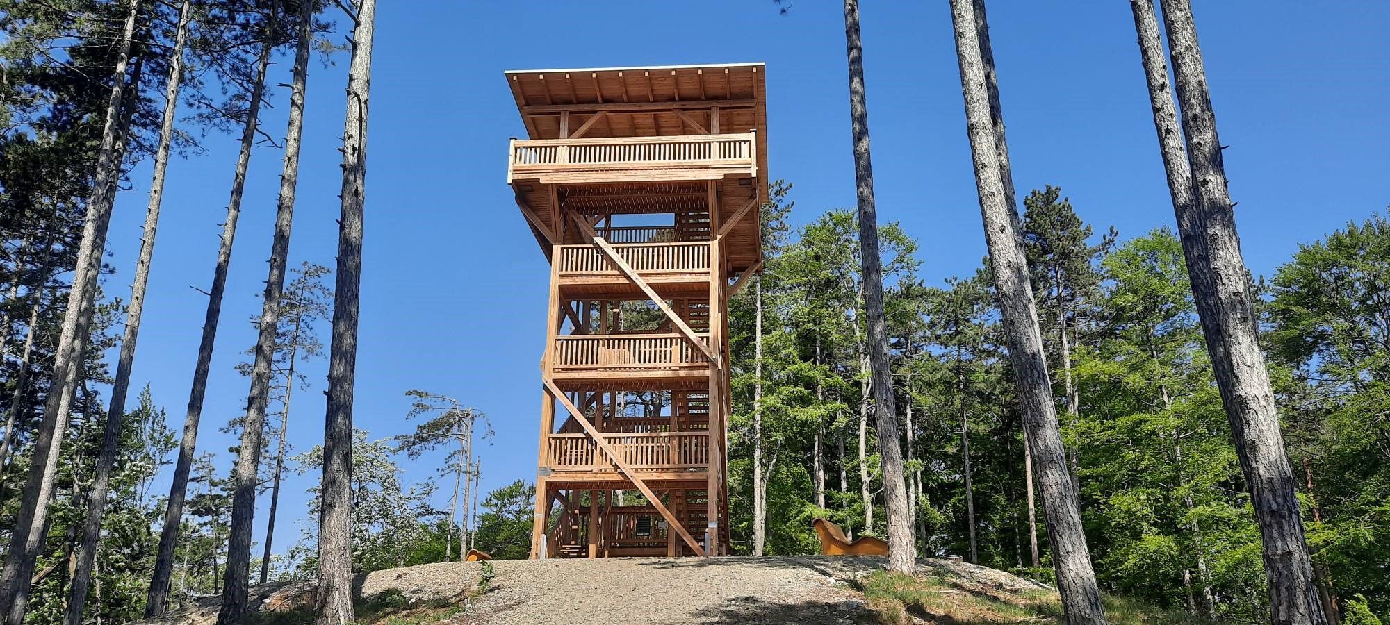
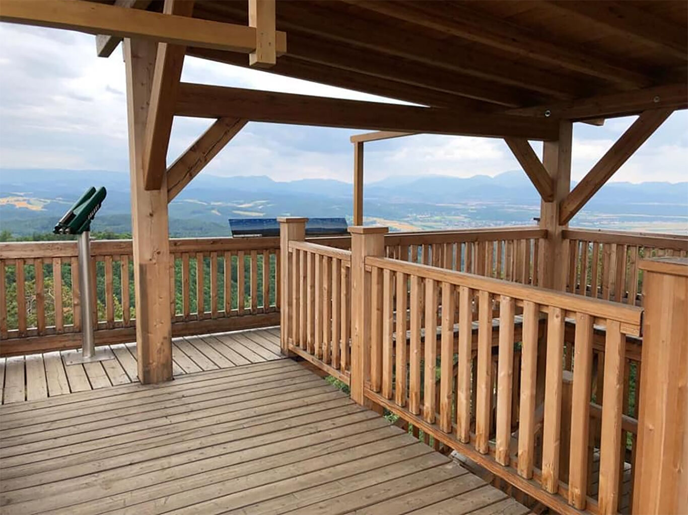

You start your hike from the parking lot before the last hairpin bend to the Rosalia houses. Coming from Forchtenstein, you will find a large parking lot on the right side where you can park your car for free. If you arrive by public transport, the bus stop is about 100 meters away. You walk past the barrier and keep to the forest road until the Tobiaskreuz fork. Once there, take the forest road on the right. Follow this to the fork where you take the left path. After a short distance, you will have already reached the observation tower.
Ano
Ano
Comfortable shoes, drinking bottle, snack, possibly rain protection and mobile phone
A mobile phone would be advisable
A1, A2, A3, federal roads, and state roads
Wiesen/Sigleß or Mattersburg train station
Bus:
VOR
Blaguss
Bus stop about 100m from the starting point
Free directly at the tour starting point
www.mittelburgenland-rosalia.info
Mittelburgenland-Rosalia Tourist Board
Forchtenstein Office
Tel:.+43 2626 23 200
Visit to the Rosalia Chapel, Forchtenstein Castle, and the Reptile Zoo in Forchtenstein




Aktivity na trase
-

Forchtenstein, Burgenland/Austria
18.10.2026 – Turistika -

Forchtenstein, Burgenland/Österreich
11.10.2026 – Turistika -

Burg Forchtenstein
04.10.2026 – Turistika -

Forchtenstein, Burgenland/Austria
26.09.2026 – Turistika -

Forchtenstein, Burgenland/Österreich
27.08.2026 – Procházka -
Forchtenstein, Burgenland/Österreich
26.08.2026 – Turistika -

Aussichtsturm Wiesen, Burgenland/Österreich
24.06.2026 – Turistika -
Wiesen, Burgenland/Österreich
22.05.2026 – Turistika -

Forchtenstein, Burgenland/Österreich
19.05.2026 – Turistika -
Forchtenstein, Burgenland/Österreich
04.04.2026 – E-MTB
Oblíbené prohlídky v okolí
-
4.7
Seebenstein - Türkensturz - Burg Seebenstein
světloTuristika 7.50 km -
4.6
Bucklige Welt: Auf dem Pittentaler Klettersteig zum Türkensturz
středníVia ferrata 1.96 km -
4.3
Türkensturz Rundwanderung
středníTuristika 2.56 km -
4.3
Naturlehrpfad Katzelsdorf
světloTuristika 3.81 km -
4.8
Forchtenstein-Rosalienkapelle
světloTuristika 7.86 km -
4.3
Türkensturz große runde
středníTuristika 11.4 km -
4.1
Rosalia: Lanzenkirchen - Aussichtsturm
světloTuristika 11.1 km -
4.6
M32 On the Gspitzter Riegel from Bad Sauerbrunn
středníTuristika 8.73 km -
4.6
Gespitzter Riegel - Bad Sauerbrunn
světloTuristika 8.85 km -
4.6
Türkensturz
světloTuristika 6.31 km
Pěší turistika a stopování


Nenechte si ujít nabídky a inspiraci pro vaši příští dovolenou
Vaše e-mailová adresa byl přidán do poštovního seznamu.





