


Rosalia circular hiking route - stage Klingfurth to Pitten
Fotografie našich uživatelů
-

 © PoschacherVytvořeno dne 21.03.2026
 -
 © PoschacherVytvořeno dne 21.03.2026
 -
 © PoschacherVytvořeno dne 21.03.2026
 -
 © PoschacherVytvořeno dne 21.03.2026
 -
 © PoschacherVytvořeno dne 21.03.2026
 -
 © PoschacherVytvořeno dne 21.03.2026
 -
 © PoschacherVytvořeno dne 21.03.2026
 -
 © PoschacherVytvořeno dne 21.03.2026
 -
 © PoschacherVytvořeno dne 21.03.2026
 -
 © Timucin ArslanVytvořeno dne 07.02.2026
 -
 © Timucin ArslanVytvořeno dne 07.02.2026
 -
 © Timucin ArslanVytvořeno dne 07.02.2026
 -
 © Timucin ArslanVytvořeno dne 07.02.2026
 -
 © Martina TschapkaVytvořeno dne 17.01.2026
 -
 © Martina TschapkaVytvořeno dne 17.01.2026
 -
 © Martina TschapkaVytvořeno dne 17.01.2026
 -
 © Martina TschapkaVytvořeno dne 17.01.2026
 -
 © Martina TschapkaVytvořeno dne 17.01.2026
 -
 © Martina TschapkaVytvořeno dne 17.01.2026
 -
 © Marion SchedelVytvořeno dne 16.11.2025
 -

 © WanderschuhVytvořeno dne 05.07.2025
 -
 © Leo ReitererVytvořeno dne 24.04.2026
 -
 © Leo ReitererVytvořeno dne 24.04.2026
 -
 © Leo ReitererVytvořeno dne 20.10.2025
 -
 © Leo ReitererVytvořeno dne 20.10.2025
 -
 © Leo ReitererVytvořeno dne 09.09.2025

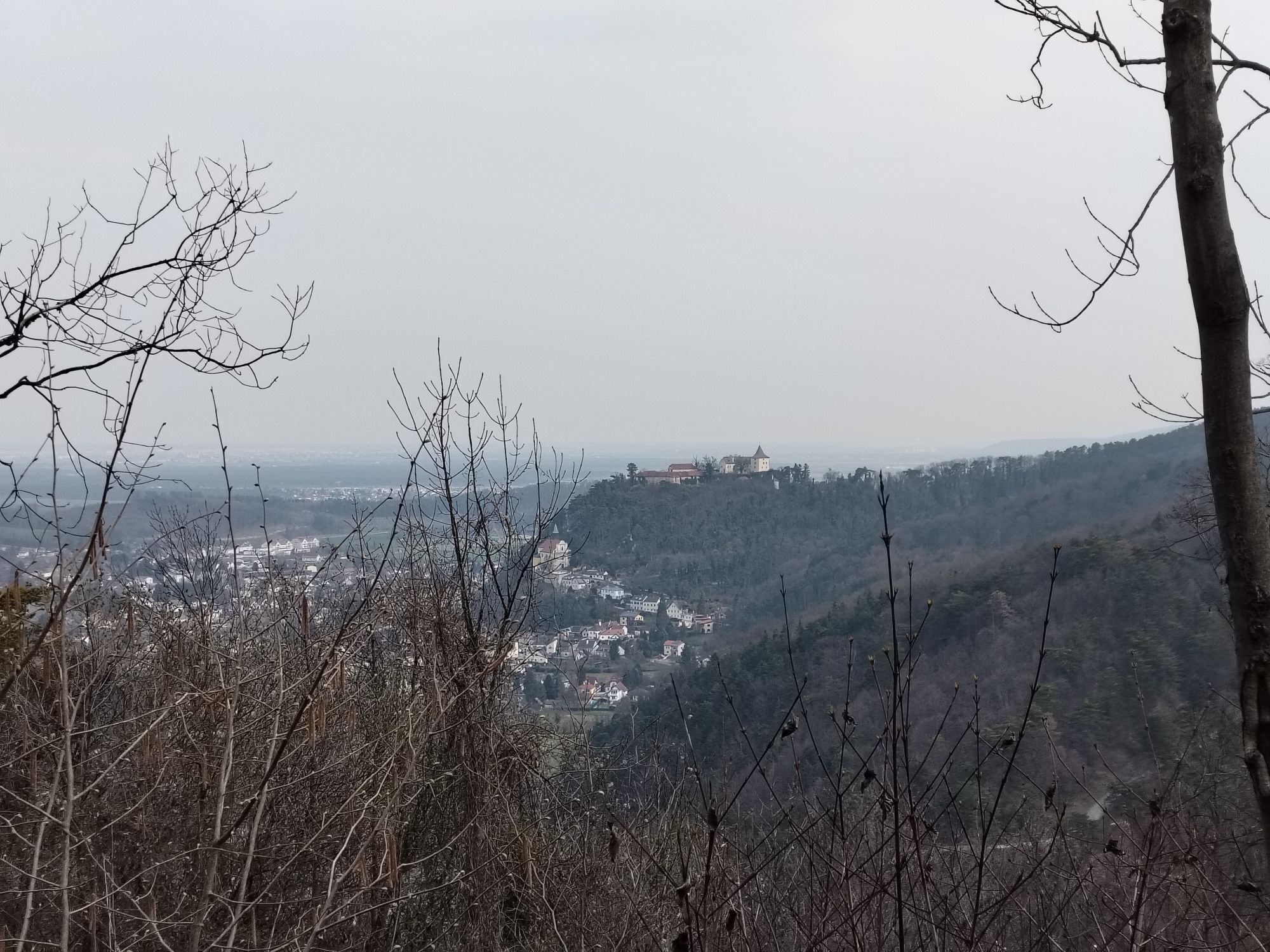

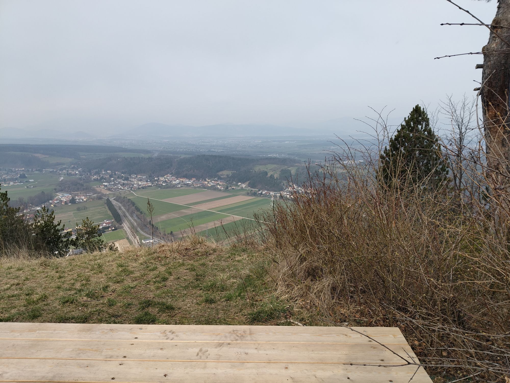


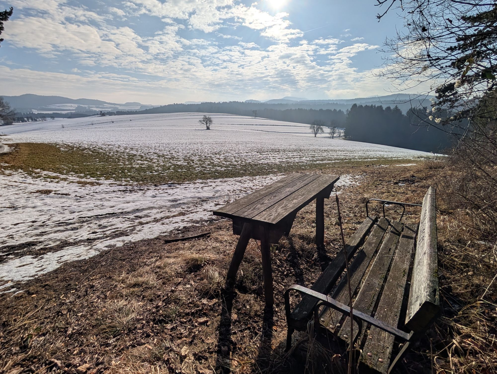
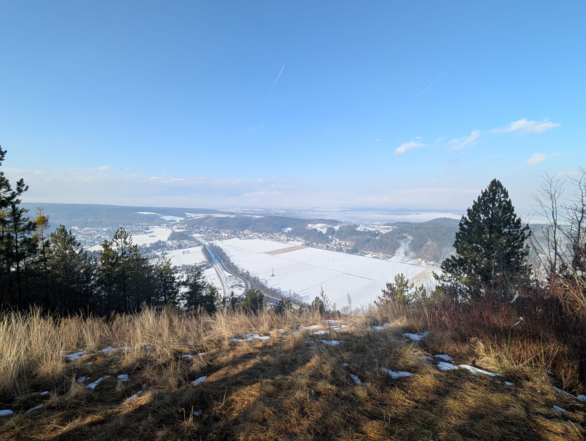

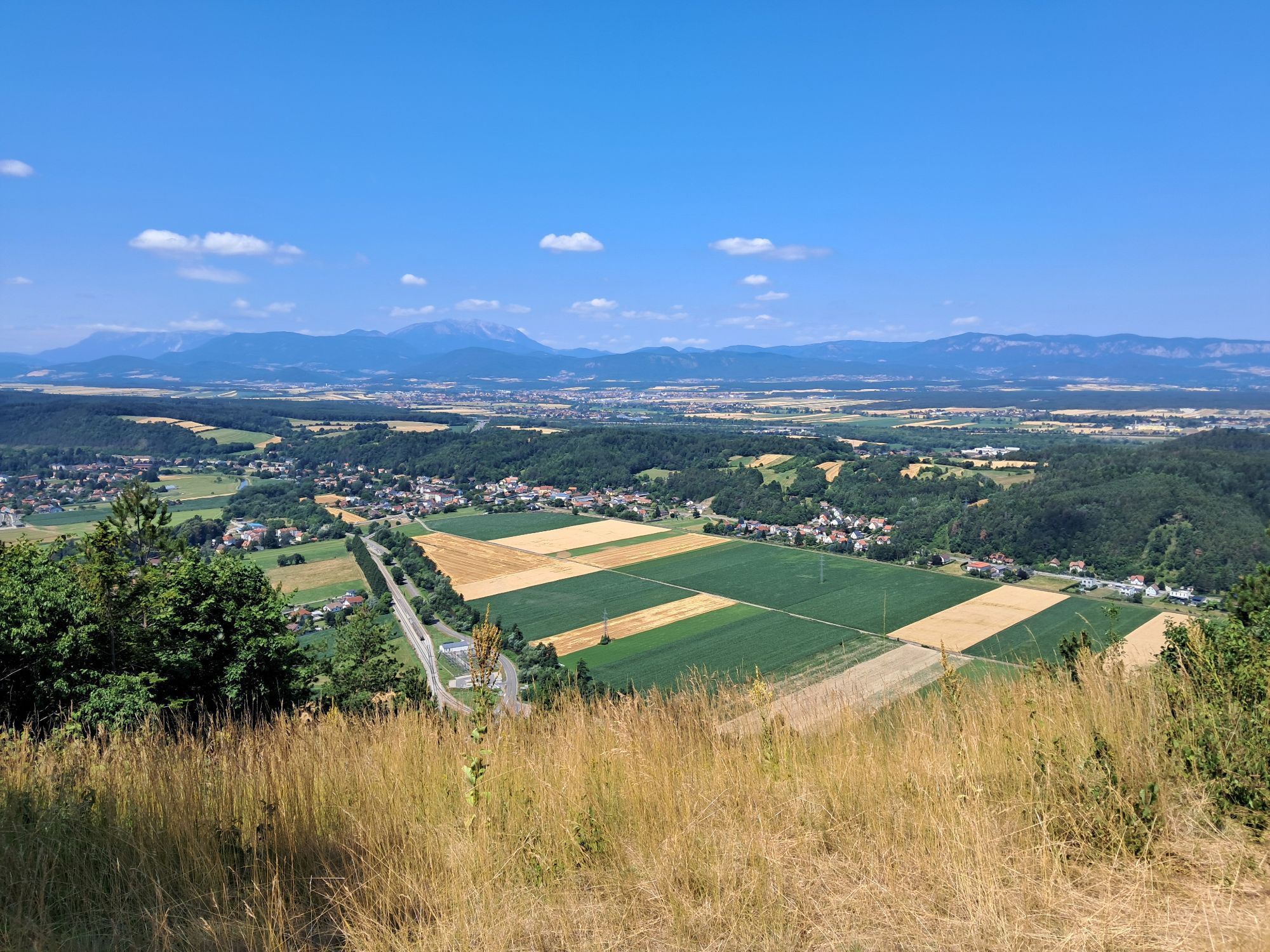
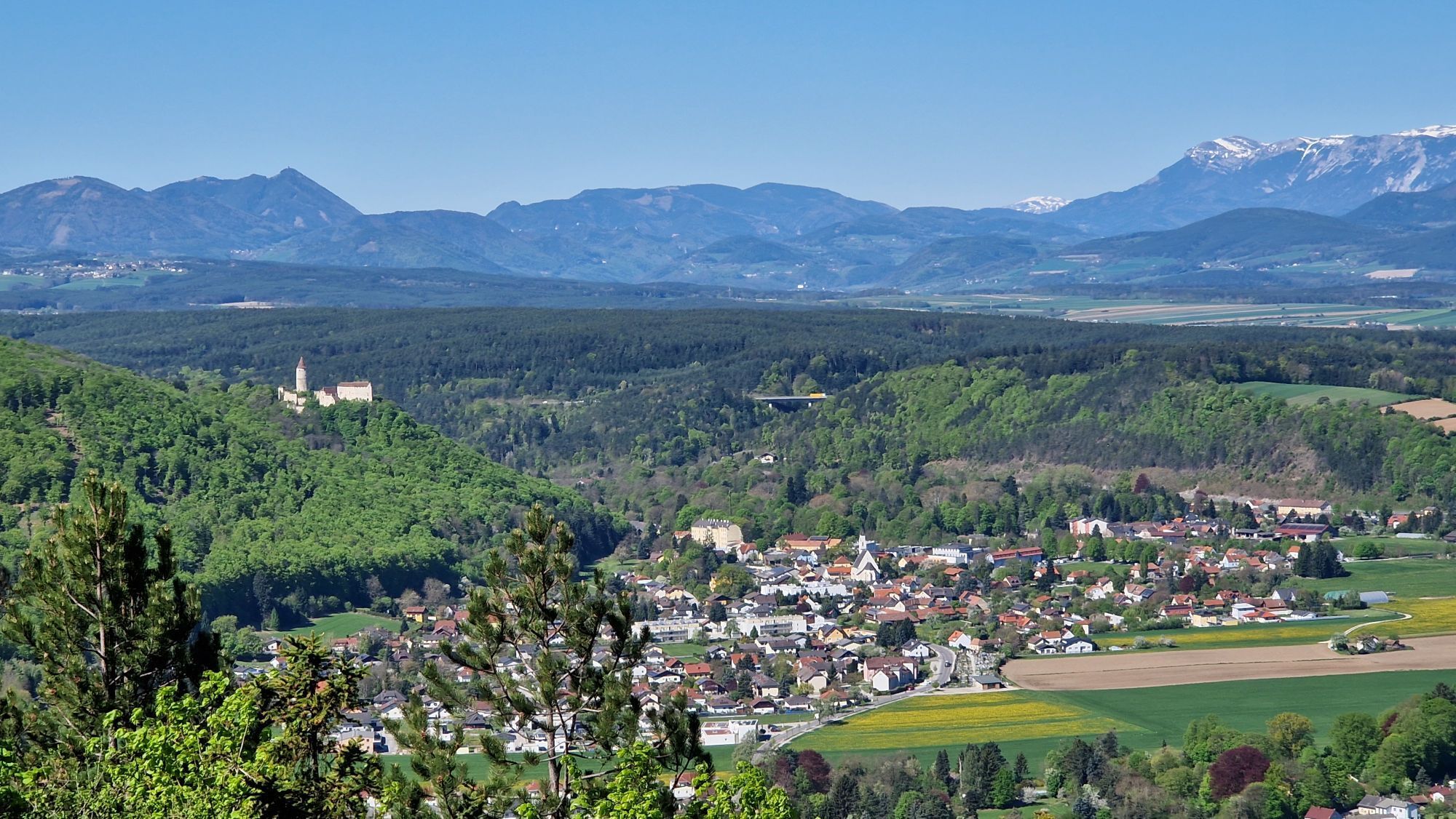
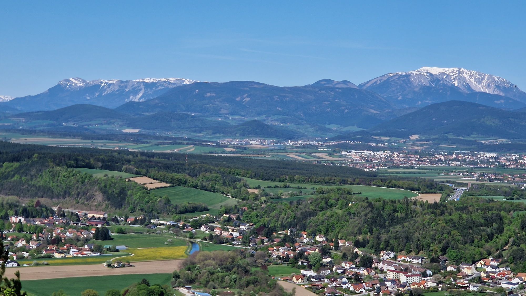


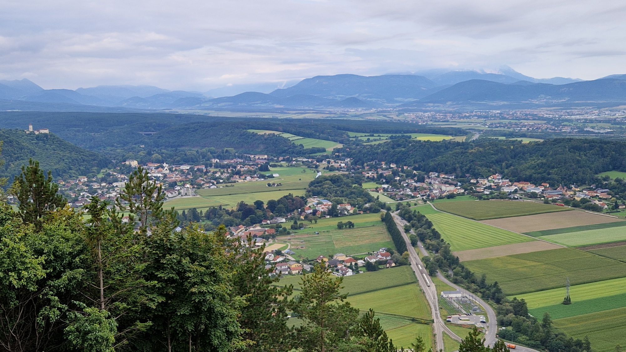
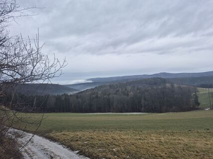
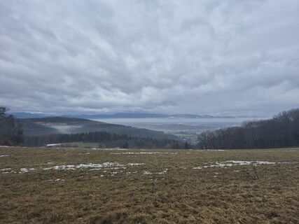
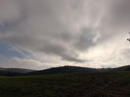
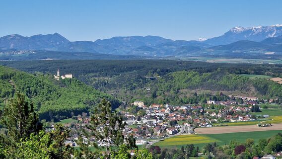
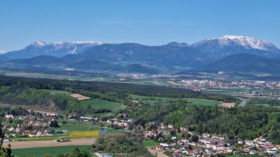
Via Stupfenreith you reach Walpersbach and Bad Erlach, where interesting buildings lie along the way. Then the path leads via Leiding to the Weißjackl, one of the most beautiful viewpoints along the route,...
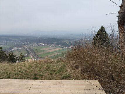
<p>Via Stupfenreith you reach Walpersbach and Bad Erlach, where interesting buildings lie along the way. Then the path leads via Leiding to the Weißjackl, one of the most beautiful viewpoints along the route, until reaching Pitten.</p>

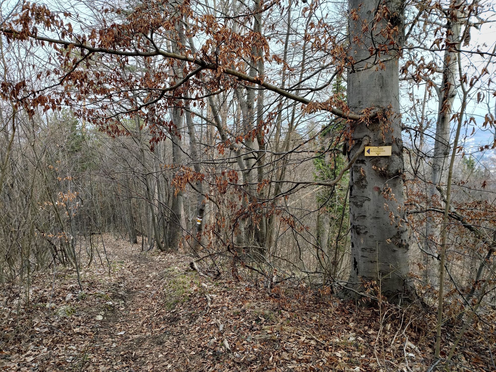
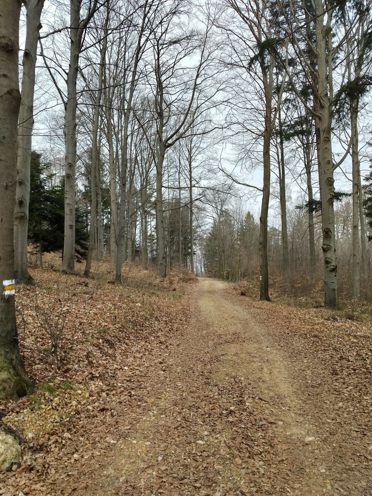
<p>From Klingfurth to Stupfenreith – further to Walpersbach past the parish church – over Ziegelofen to Bad Erlach through the village – then back towards the forest to the Rosalia – then via Inzenhof to Leiding – onwards past the Weißjackl viewpoint – to Pitten – past the Rosengarten and the parsonage to the Gasthof zur alten Schule</p>
<p>Always take suitable maps with you. Wear sturdy shoes appropriate for the route, bring sun and rain protection as well as water and a small snack. Take your mobile phone and save the mountain rescue emergency number: 140</p>
<p>Your hikes in the Vienna Alps should be a completely beautiful and safe experience. Please therefore note the following:</p><p><strong>Preparation</strong></p><p>Make sure when choosing the route that it matches your mountain experience and your fitness level. Check the weather forecast in advance. The weather in the mountains can change surprisingly quickly. Always start out accordingly equipped (e.g. rain protection).</p><p>Check whether the huts and snack stations you want to visit along the way are open. Inform someone about your route choice and your planned return before you set off.</p>
<p>South motorway A2 exit Wiener Neustadt South - direction Bad Erlach to Walpersbach, continuing to Klingfurth</p>
<p>Bus connection (VOR) from Wiener Neustadt to Klingfurth</p>
<p>at Pension Hendling in Klingfurth</p>
Verantwortlicher für den Inhalt dieser Tour
Wiener Alpen in Niederösterreich - Bad Erlach
Letzte Aktualisierung: 31.10.2025
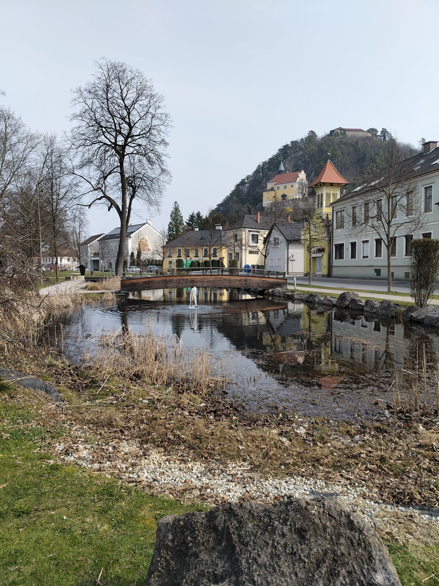
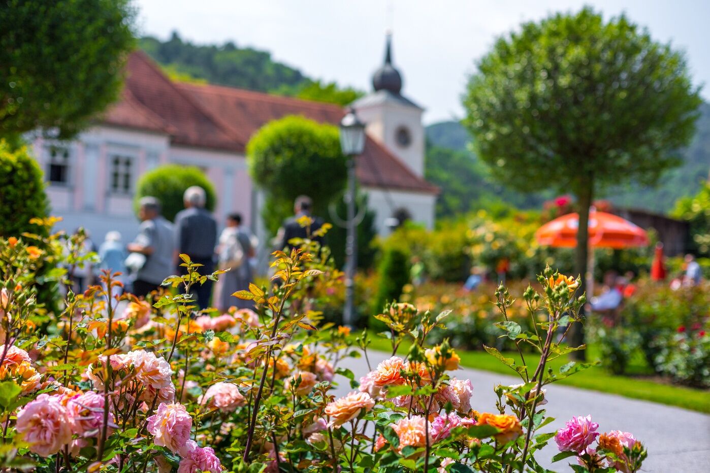
The Rosengarten Pitten is one of the largest and most beautiful in Lower Austria.
Entire route: www.buckligewelt.info/a-rosalia-rundwanderweg
Other daily stages:
Pitten - Wr. Neustadt: www.buckligewelt.info/a-rosalia-rundwanderweg-etappe-pitten-bis-wr-neustadt
Wiener Neustadt - Eichbuechl: www.buckligewelt.info/a-rosalia-rundwanderweg-etappe-von-wr-neustadt-bis-eichbuechl
Eichbuechl - Klingfurth: www.buckligewelt.info/a-rosalia-rundwanderweg-etappe-eichbuechl-bis-klingfurth

Oblíbené prohlídky v okolí
-
4.5
Bucklige Welt: Auf dem Pittentaler Klettersteig zum Türkensturz
středníVia ferrata 1.96 km -
4.1
Bergkraxler Klettersteig
středníVia ferrata 3.35 km -
4.3
Türkensturz Rundwanderung
středníTuristika 2.56 km -
5.0
Seebenstein - Türkensturz - Burg Seebenstein
světloTuristika 7.50 km -
4.7
Naturlehrpfad Katzelsdorf
světloTuristika 3.81 km -
4.0
Bucklige Welt: Burg Grimmenstein und Kulmriegel
světloTuristika 10.5 km -
4.5
To the Wiesen/Lanzenkirchen observation tower from the Rosalia
světloTuristika 4.25 km -
4.2
Türkensturz große runde
středníTuristika 11.4 km -
4.6
Gespitzter Riegel - Bad Sauerbrunn
světloTuristika 8.85 km -
4.6
M32 On the Gspitzter Riegel from Bad Sauerbrunn
středníTuristika 8.73 km

Pěší turistika a stopování


Nenechte si ujít nabídky a inspiraci pro vaši příští dovolenou
Vaše e-mailová adresa byl přidán do poštovního seznamu.