






STADTWEG Langenlois - route “The Syndic of Langenlois”
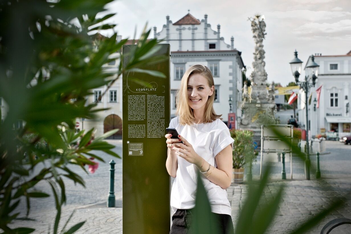
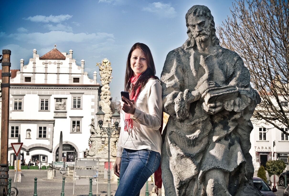
Information boards at interesting buildings and places bring visitors closer to the history and stories of the wine town. Those completing the different stations best combine their walk with an audio tour:...
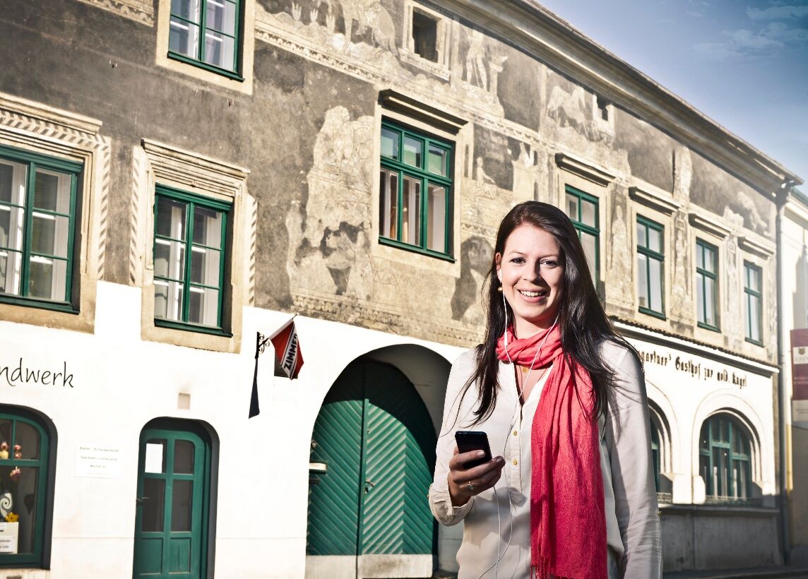
<p>Information boards at interesting buildings and places bring visitors closer to the history and stories of the wine town. Those completing the different stations best combine their walk with an audio tour: the mobile phone becomes an audio guide through the city via QR codes on the information boards.</p><p>You can follow the trail of a true crime story from 1824 with the audio drama “The Syndic of Langenlois.” The tragic end of the tax collector Johann Hoffer is a piece of Langenlois local history that still moves people today.</p>


<p>The route “The Syndic of Langenlois” starts at the town hall and leads via Rathausstraße and Kornplatz into Bahnstraße and from there back via Kornplatz into Michael-Zwickl-Zeile to Josefspark. From there you follow Auböckallee and Dimmelgraben to Rosenhügel. Via Kremser Straße you return to the starting point. The walk takes about 90 minutes.</p>
<p>From Vienna: Donauuferautobahn A22 towards Stockerau, continue on the S5 towards Krems until the Fels am Wagram exit and then on the B34 to Langenlois. <br />From the west: Westautobahn A1 towards Vienna to St. Pölten, continue on the S33 and B37 to Krems and then on the B218 to Langenlois.</p><p>Starting point:<br />Langenlois Town Hall; 3550 Langenlois, Rathausstraße 2</p>
<p>Regular regional train connections between Langenlois and Hadersdorf (connection to Vienna), Krems, and the Kamptal (<a href="fahrplan.oebb.at/bin/query.exe/dn&quo...)</p>
<p>Parking lot P3 center on Kremser Straße or parking lot P1 center on Walterstraße</p>
Ursin Haus Vinothek & Tourism Service GmbH
3550 Langenlois, Kamptalstraße 3
(T) 02734 2000-0
info@ursinhaus.at
www.langenlois.at/stadtweg
The audio tours can be accessed and played using the QR codes or web addresses provided on the information boards. For those who do not have a smartphone or tablet, rental devices are available at the Ursin Haus (for a fee).
Získejte přehled Vždy živě na místě s více než 9 500 webkamerami. bergfex Jako uživatel Pro si nyní můžete zobrazit odpovídající webové kamery pro mnoho prohlídek v aplikaci prohlídky z. Můžete si tak přímo prohlédnout aktuální podmínky. Oblíbené prohlídky v okolí
- 4,5
Welterbesteig Wachau 02: Dürnstein-Weißenkirchen
světlodálková pěší trasa 15,9 km - 4,5
Welterbesteig Wachau 01: Krems-Dürnstein
světlodálková pěší trasa 12,3 km - 4,8
Vogelbergsteig -Kanzel- Fesselhütte - Ruine Dürnstein zum Heurigen in Furth
středníTuristika 7,59 km - 4,6
Krems (Welterbesteig) - Dürnstein - Vogelbergsteig - Kanzel - Fesslhütte - Krems
středníTuristika 18,0 km - 4,4
Wachauer Marillenerlebnisweg, Krems-Angern
světloTuristika 6,04 km - 4,7
Wine and Water Round to the Kamptalwarte on Heiligenstein, no. 65
středníTuristika 9,93 km - 4,3
Mammutbäume, Waxenberg und Göttweig
středníTuristika 12,1 km - 4,7
Weinweg Langenlois - wohin ? in und um Wien
světloTuristika 5,68 km - 4,9
Rundwanderung Reisperbachtal, Donauwarte & Schreckberg
středníTuristika 8,89 km - 3,9
Über den Göttweiger Walderlebnisweg zu den Mammutbäumen
světloTuristika 3,77 km
Pěší turistika a stopování


Nenechte si ujít nabídky a inspiraci pro vaši příští dovolenou
Vaše e-mailová adresa byl přidán do poštovního seznamu.





