







Garden bike route
This round route leads from Langenlois through hollow ways and vineyards to the garden village Schiltern, passing directly the popular garden excursion destinations Kittenberger Erlebnisgärten, Therapy...
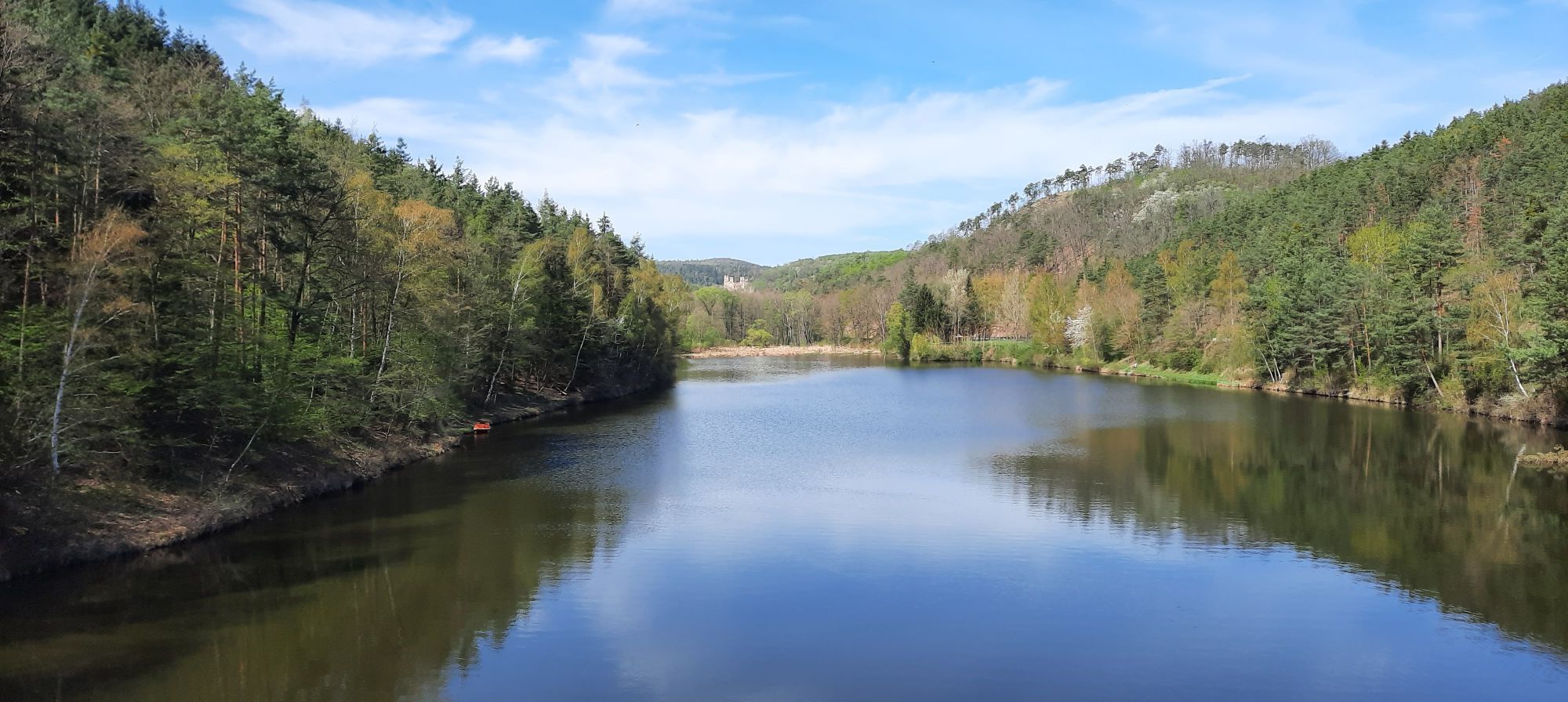
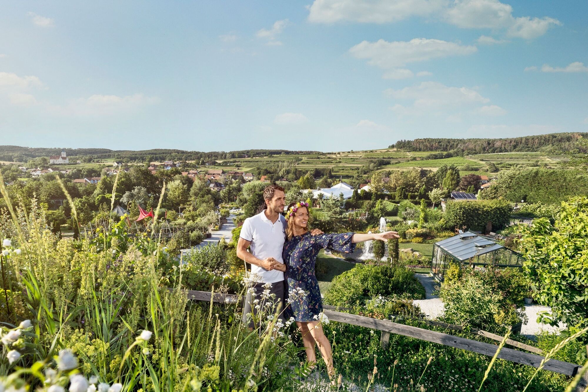
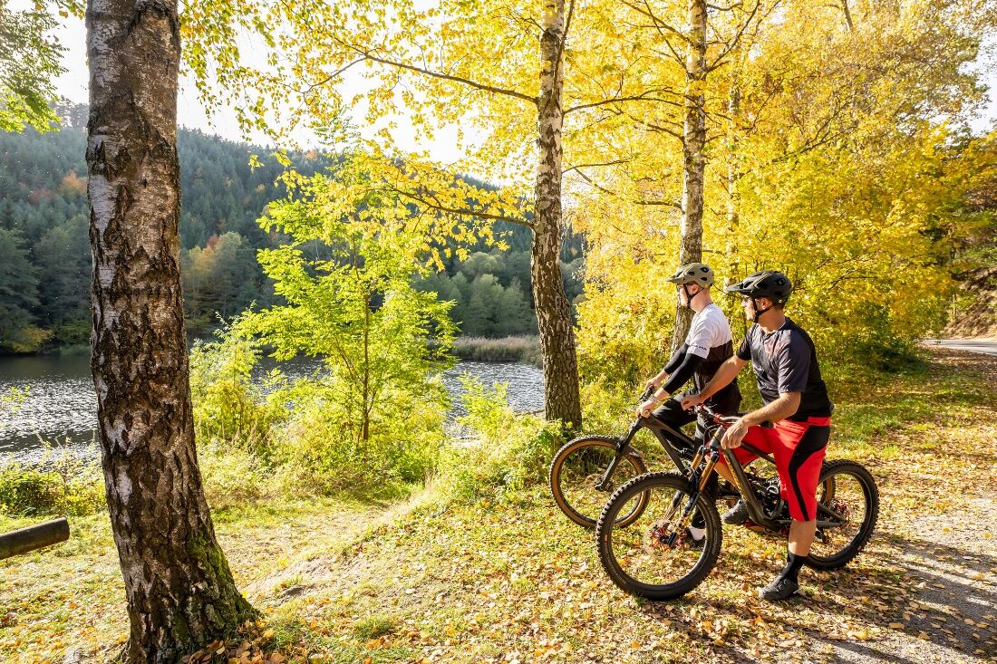
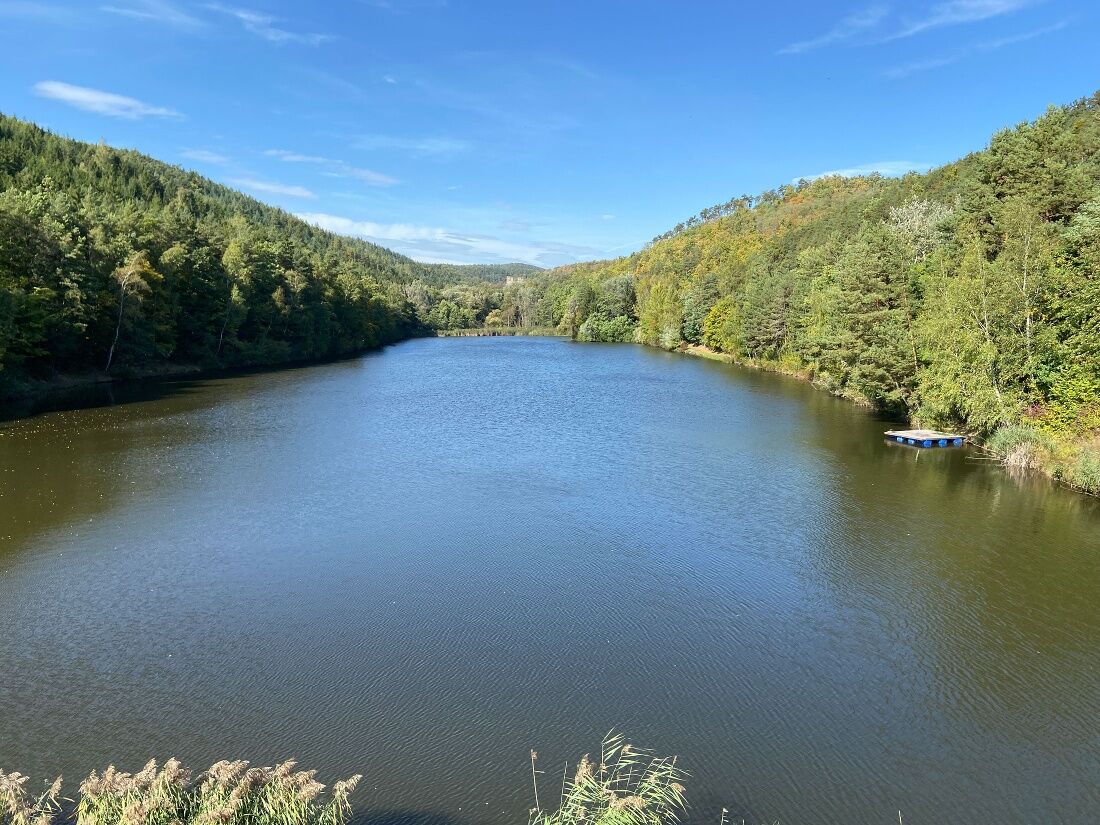
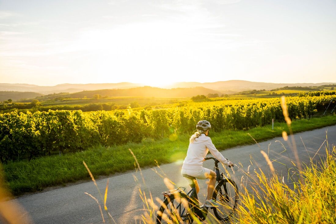
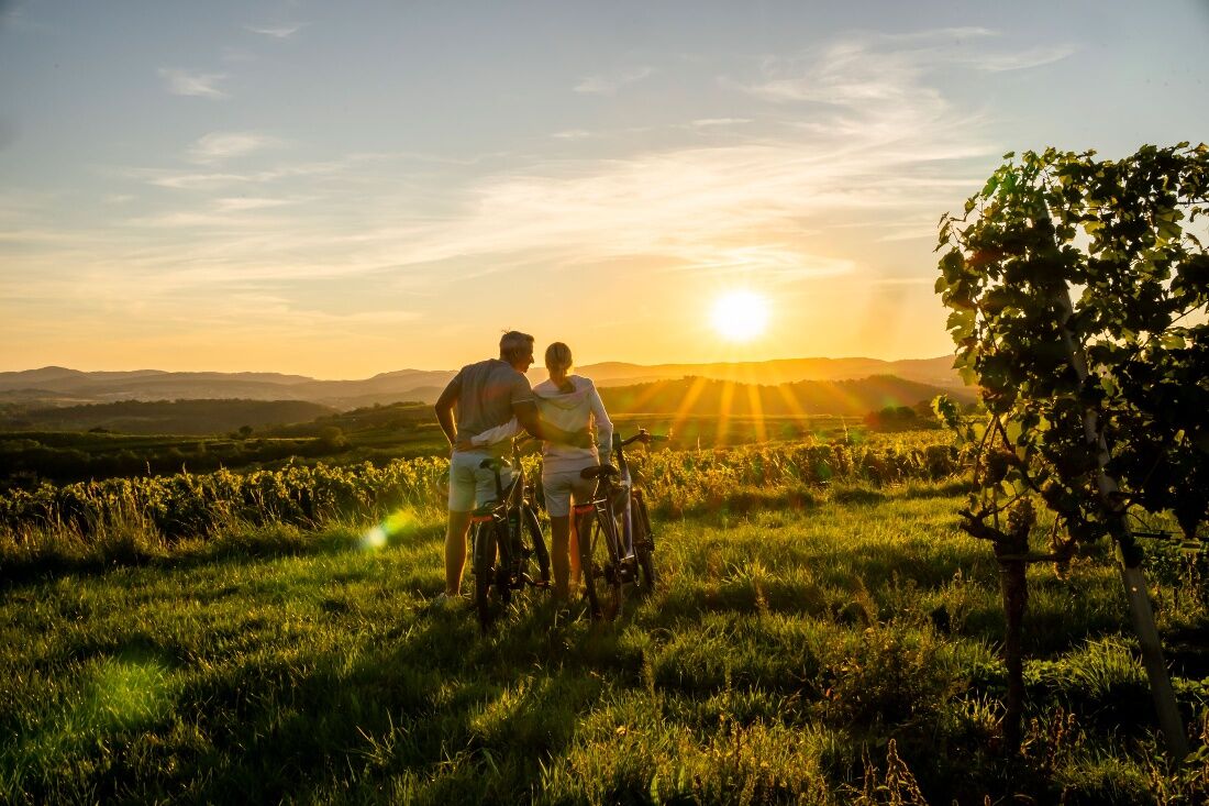
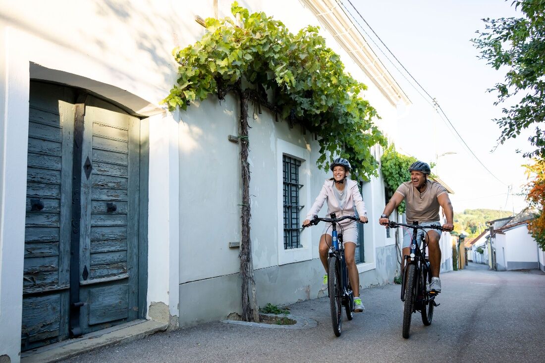
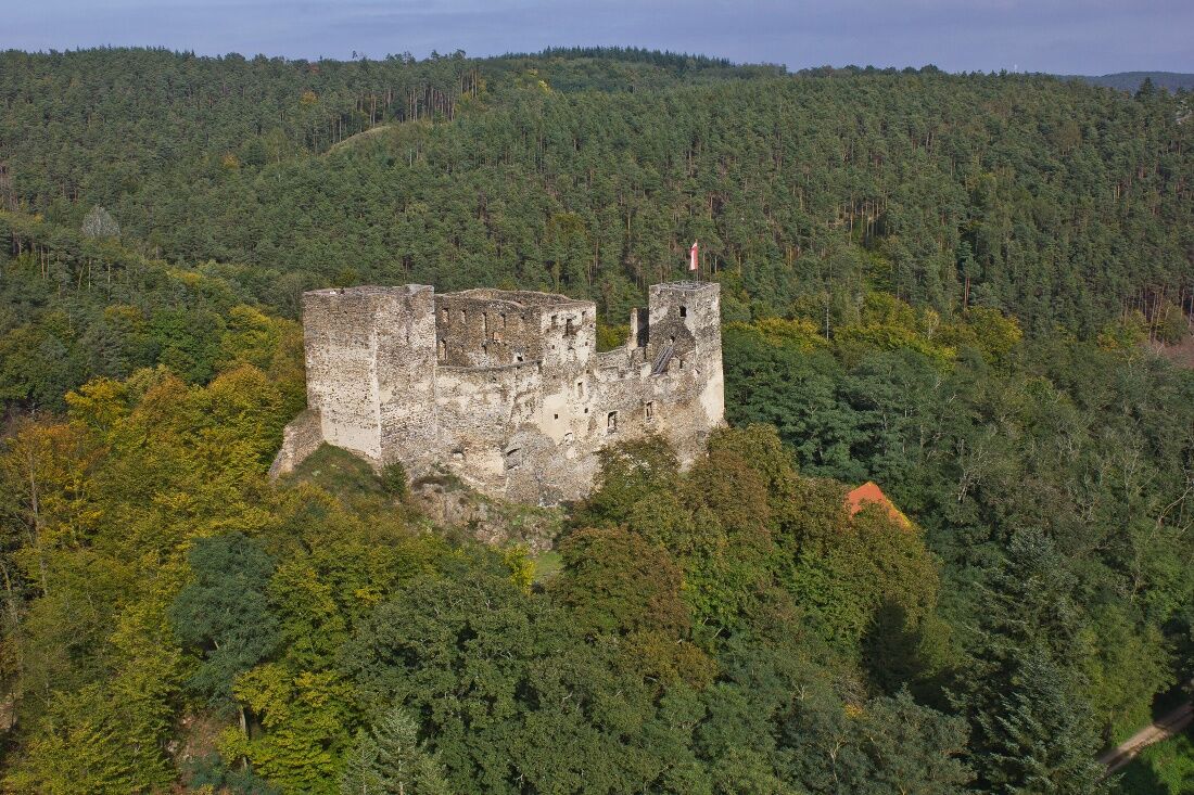
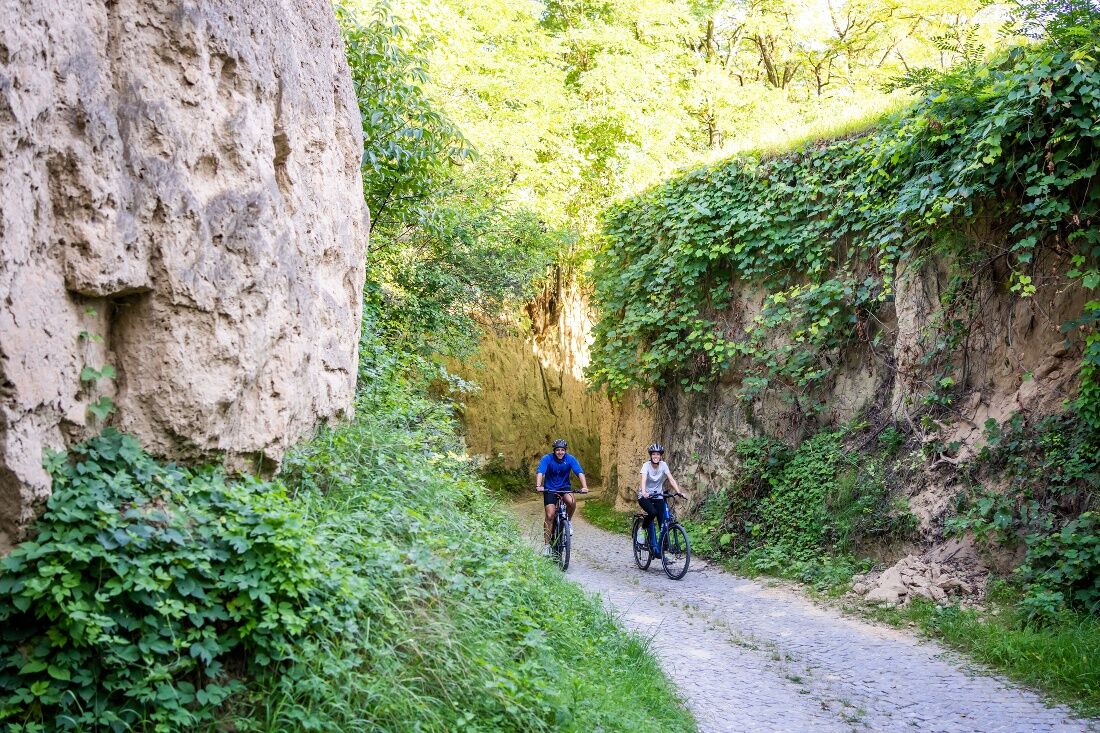
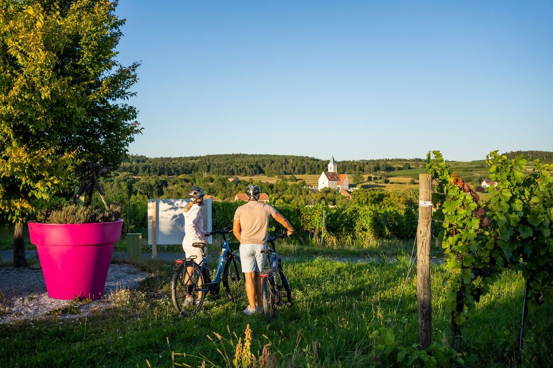
<p>This round route leads from Langenlois through hollow ways and vineyards to the garden village Schiltern, passing directly the popular garden excursion destinations Kittenberger Erlebnisgärten, Therapy Garden Schloss Schiltern, and ARCHE NOAH show garden. Also along the route are craft beer producer BrauSchneider, the Kellergasse Schiltern, and the model railway world Schiltern.<br />From Schiltern back to Langenlois, the route goes through woods to Kronsegg. Here, a detour to the Kronsegg ruins is recommended (about 10 minutes on foot). The castle ruins with their towers offer a view over the wooded hills and the Kronsegg reservoir. The latter invites a summer dip in the cool water. Back in Langenlois, you can end the tour at a Heuriger.</p>

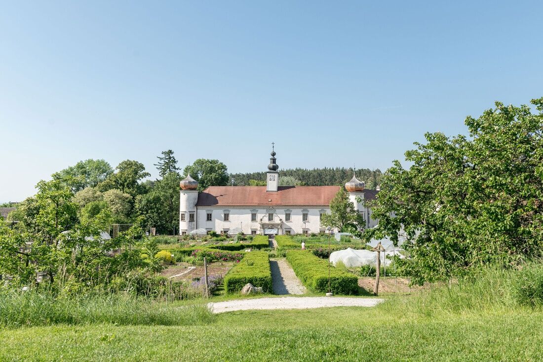

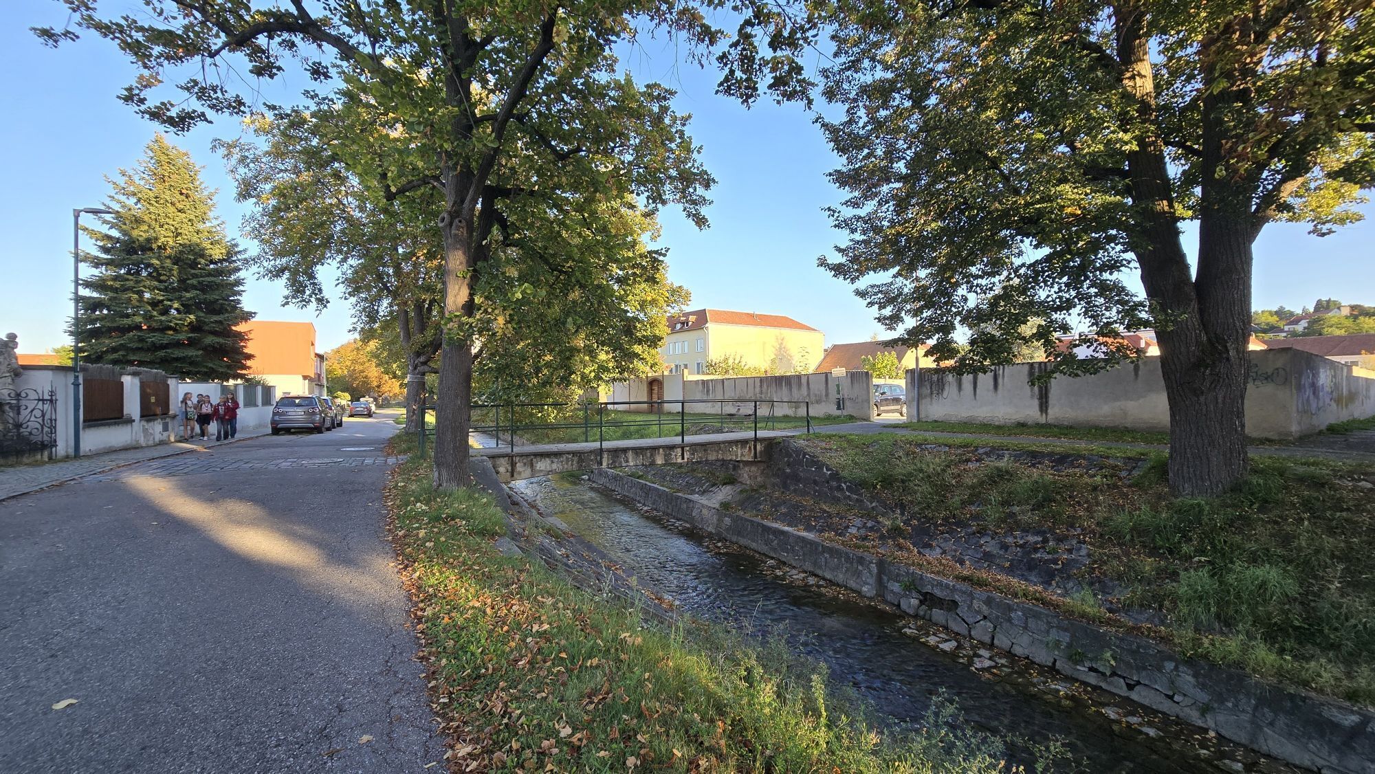
<p>At the roundabout at Kornplatz, take the exit into Bahnstraße. After 100 m, turn left and follow Seestraße for about 1 km out of town. At the intersection after the cellar buildings, keep left and steadily follow the hollow way and path through the vineyards uphill for 2.5 km. At the top of "Schilterner Berg," keep left and immediately turn right onto the state road and follow the road for about 3.5 km to Schiltern.<br />At the beginning of Schiltern, turn left and at the intersection with Laabergstraße turn left again. Pass the Kittenberger Erlebnisgärten, follow Laabergstraße and turn right into Karglstraße. After 200 m, go left towards Kellergasse. At the intersection in Kellergasse, keep right. After Kellergasse, at the intersection by the rest area, turn right into Schulgasse. After Schulgasse, turn left into Obere Straße. At Schloss Schiltern, turn left into Kronsegger Straße and follow the road for 1.5 km – mostly downhill.<br />In Kronsegg, turn left and follow the road – past the ruins and Kronsegg reservoir – for 1.2 km. At the intersection near Neumühle, turn right towards Langenlois and follow the road through the Loisbachtal valley for 3 km. Back in Langenlois, keep right at the first intersection and immediately turn right again to cross the bridge over the Loisbach. Now follow the Loisbach directly back to the center at Kornplatz and to the starting point.</p>
<p>We recommend: helmet, appropriate clothing and footwear, rain and sun protection, first aid kit (blister plasters), provisions (small snacks, muesli bars, fruit, water).</p>
<p>Make sure the chosen route matches your fitness level. Check whether the gastronomy establishments you want to visit along the way are open. Pack your mobile phone and maps in your backpack.</p>
<p>From Vienna: Donauuferautobahn A22 towards Stockerau, continue on S5 towards Krems to the Fels am Wagram exit and on B34 to Langenlois.</p><p>From the west: Westautobahn A1 towards Vienna to St. Pölten, continue on S33 and B37 to Krems and on B218 to Langenlois.</p>
<p>Regular regional train connections between Langenlois and Hadersdorf (connection to Vienna), Krems, and the Kamptal area (fahrplan.oebb.at).</p>
<p>Parking lot P1 center on Walterstraße or parking lot P2 center on Kamptalstraße</p>
Ursin Haus Vinothek & Tourism Service GmbH
3550 Langenlois, Kamptalstraße 3
(T) +43 2734 2000-0
(E) info@ursinhaus.at
(I) www.langenlois.at
Waldviertel Tourism
3910 Zwettl, Sparkassenplatz 1/2/2
(T) +43 2822 54109
(E) info@waldviertel.at
(I) www.waldviertel.at
Allow sufficient time for visiting the gardens and sights along the route (total about half a day to 1 day).
This route can be combined with the wine bike route (total 31 km, 390 m elevation, 2:20 h; entering the wine route at the Nastl Heuriger in Langenlois from the garden bike route).
Získejte přehled
Vždy živě na místě s více než 9 500 webkamerami. bergfex Jako uživatel Pro si nyní můžete zobrazit odpovídající webové kamery pro mnoho prohlídek v aplikaci prohlídky z. Můžete si tak přímo prohlédnout aktuální podmínky.

Oblíbené prohlídky v okolí
-
4.6
Welterbesteig Wachau 02: Dürnstein-Weißenkirchen
světlodálková pěší trasa 15.9 km -
4.6
Welterbesteig Wachau 01: Krems-Dürnstein
světlodálková pěší trasa 12.3 km -
4.9
Vogelbergsteig -Kanzel- Fesselhütte - Ruine Dürnstein zum Heurigen in Furth
středníTuristika 7.59 km -
4.3
Kampseen Rundweg Thurnberg - Krumau am Kamp
světloTuristika 9.04 km -
4.8
Wine and Water Round to the Kamptalwarte on Heiligenstein, no. 65
středníTuristika 9.93 km -
4.6
Weinweg Langenlois - wohin ? in und um Wien
světloTuristika 5.68 km -
4.9
Rundwanderung Reisperbachtal, Donauwarte & Schreckberg
středníTuristika 8.89 km -
5.0
Ruine Dürnstein und Vogelbergsteig - Angelos Touren
středníTuristika 6 km -
5.0
Wachauer Radtour
světloJízda na kole 64.7 km -
4.6
Der Weinskulpturenpfad auf dem Unteren Loibenberg
světloTuristika 4.03 km
Pěší turistika a stopování


Nenechte si ujít nabídky a inspiraci pro vaši příští dovolenou
Vaše e-mailová adresa byl přidán do poštovního seznamu.





