


Via Trinitatis: basic variant in 4 stages


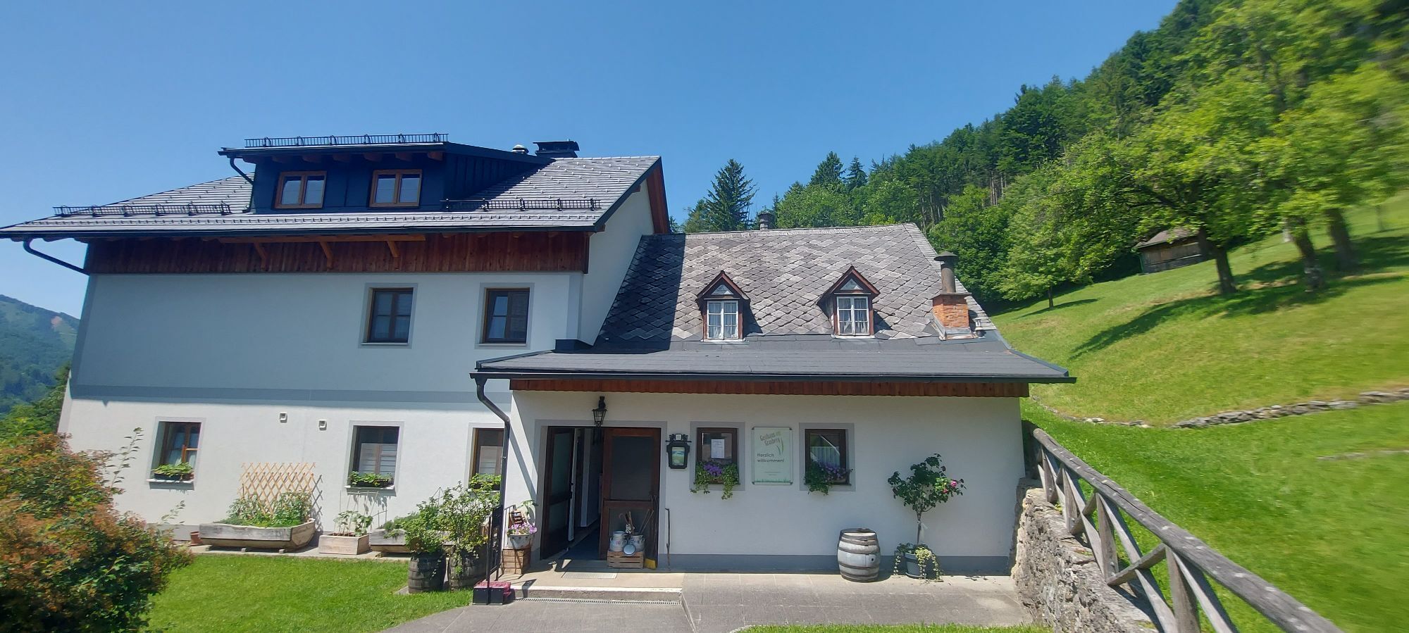

It is best to consciously start the pilgrim circular route at the "Sonntagberg Pilgrim Guesthouse/Pilgrim Information" at the entrance to the gallery of the Basilica of the Holy Trinity. Climbing the monumental...
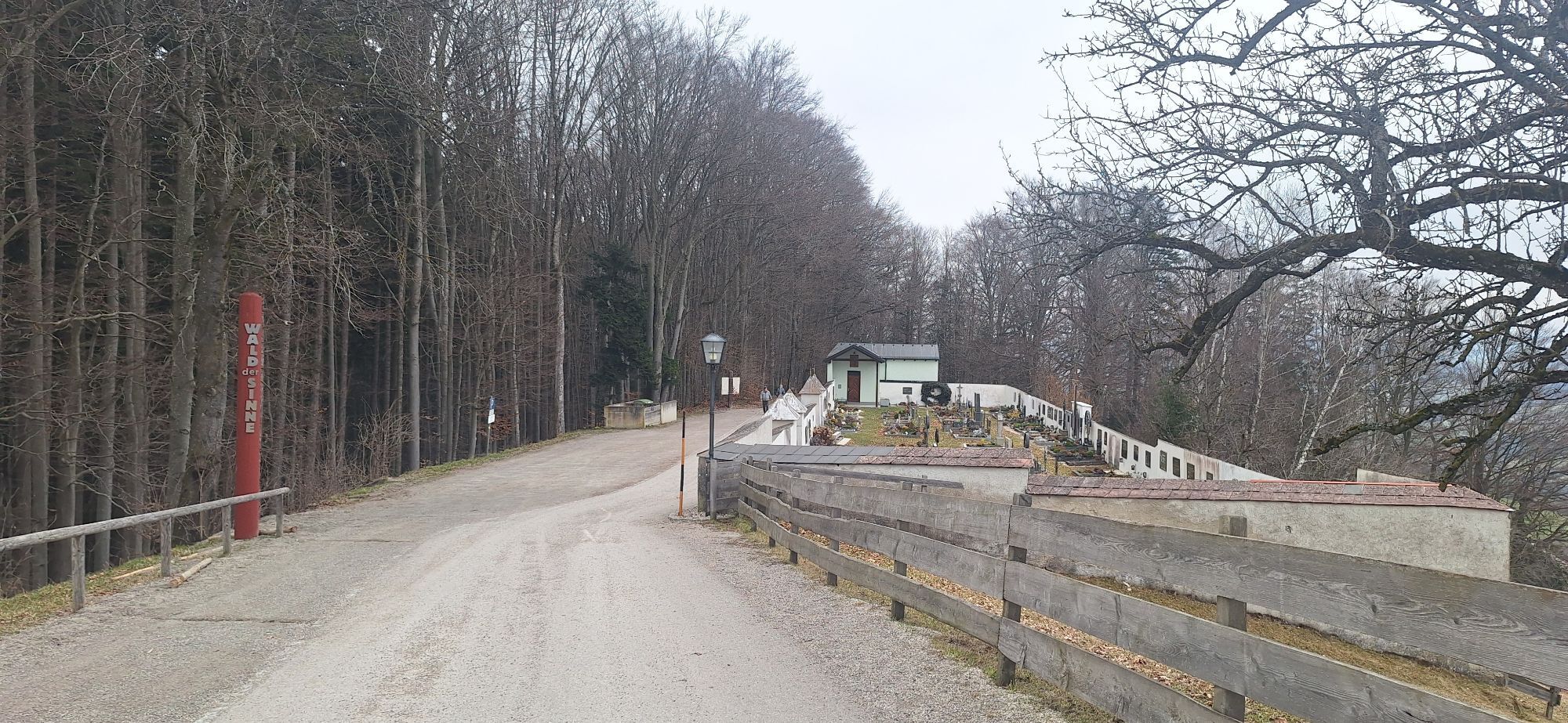
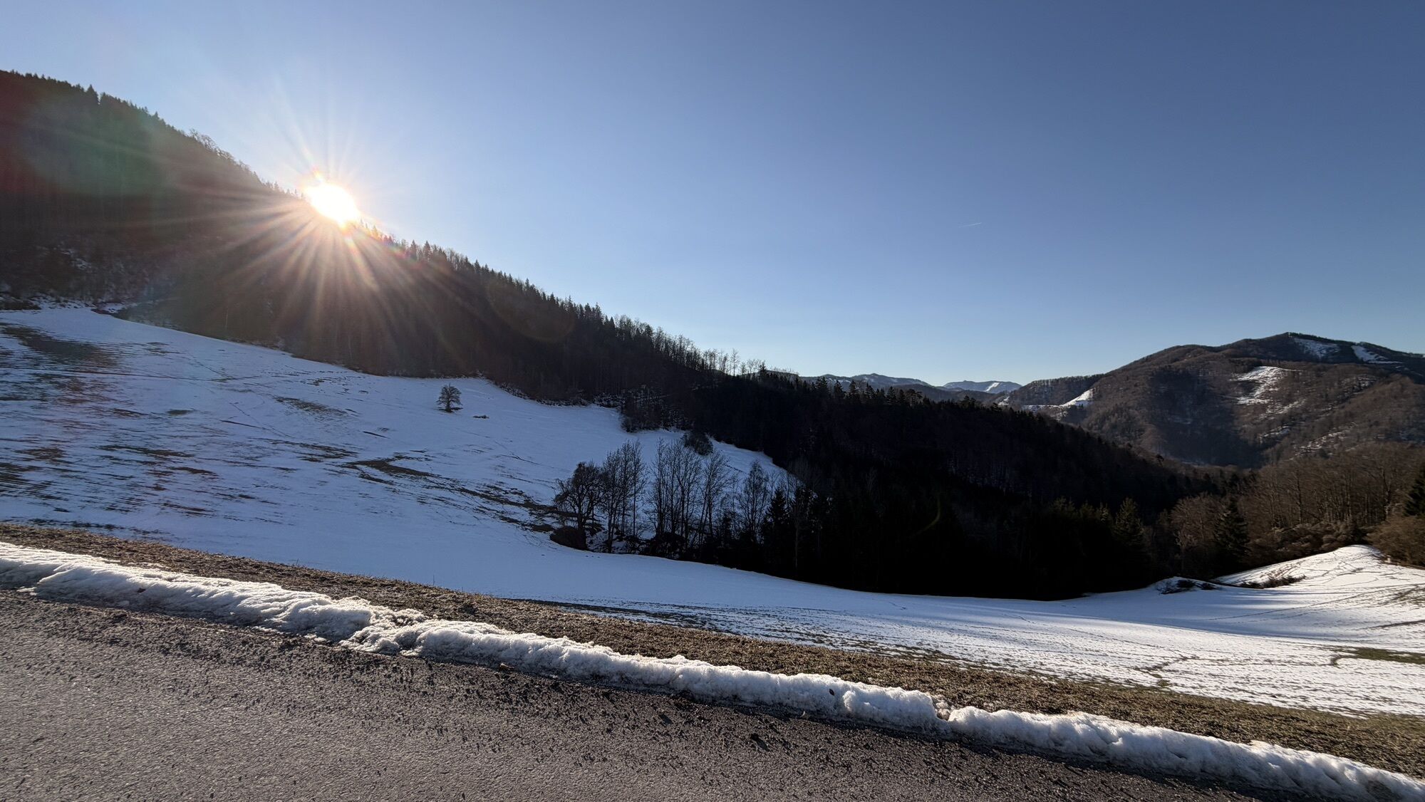
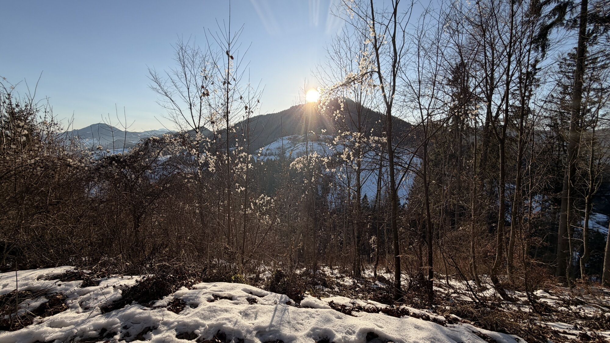
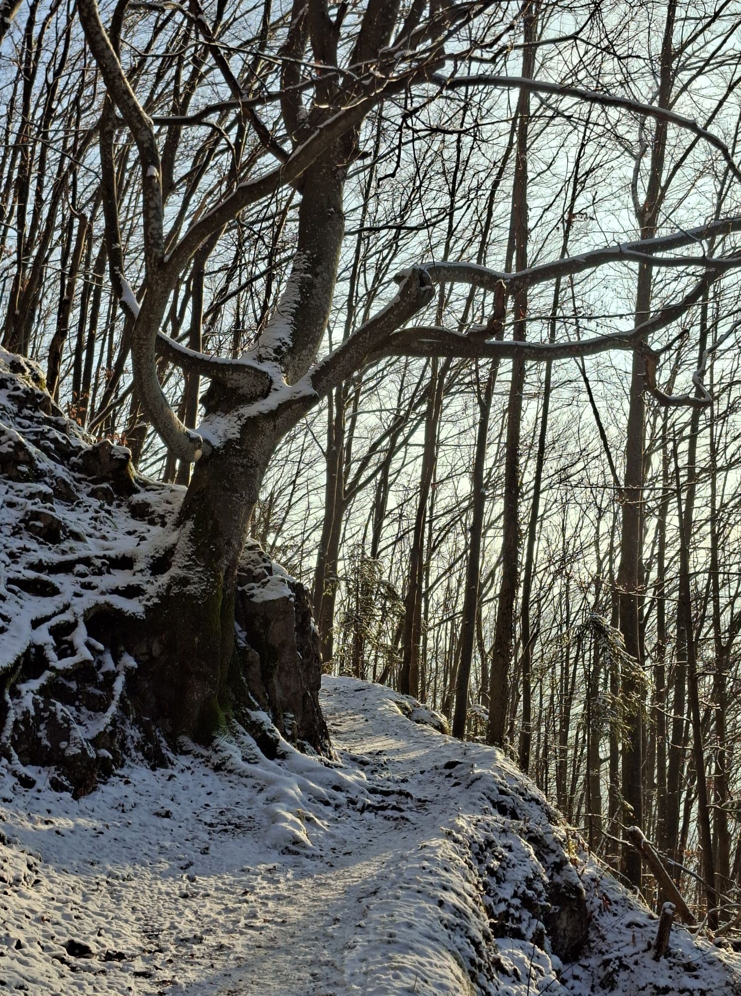
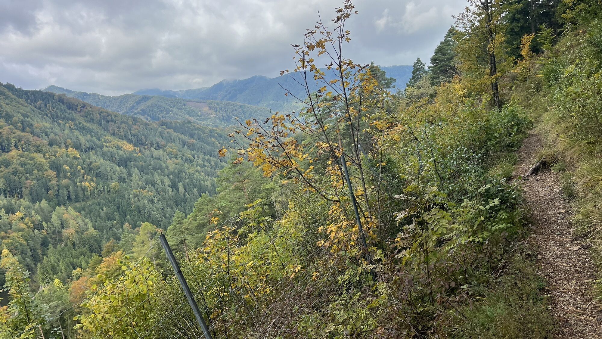
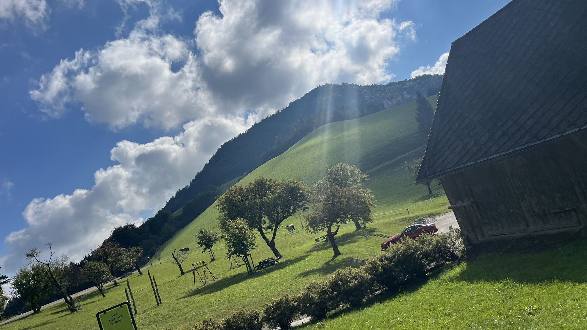
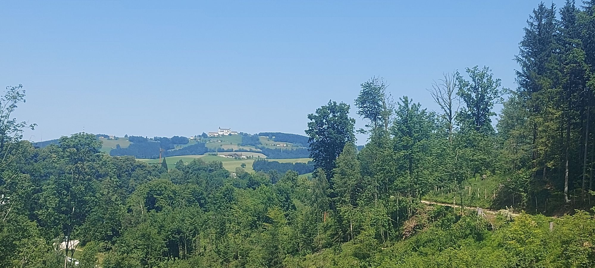
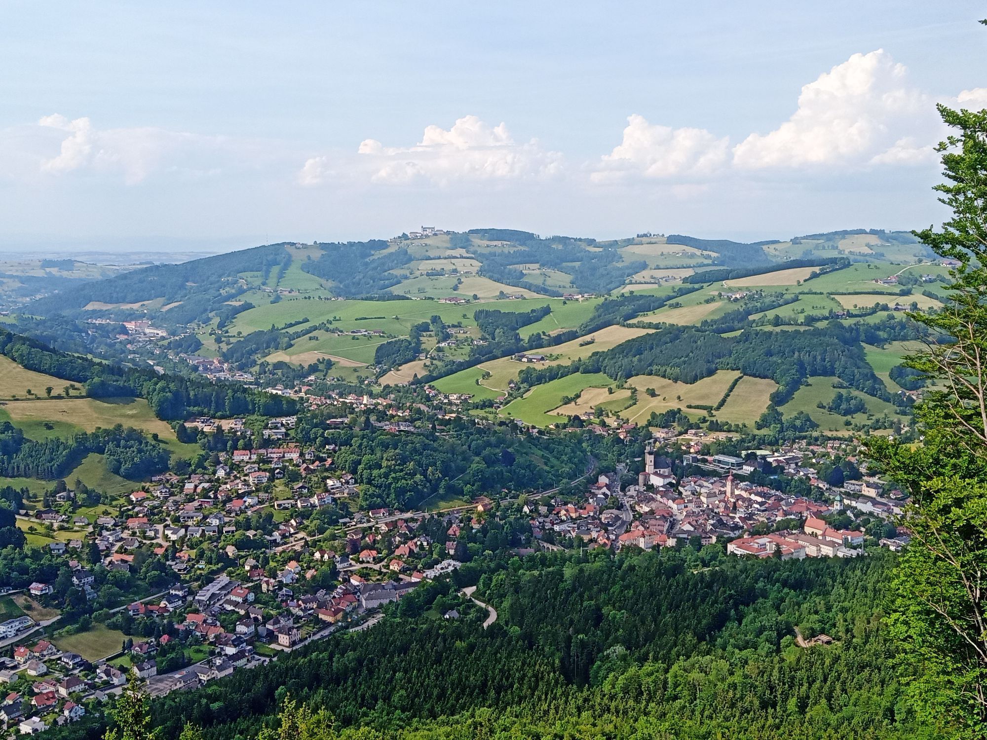
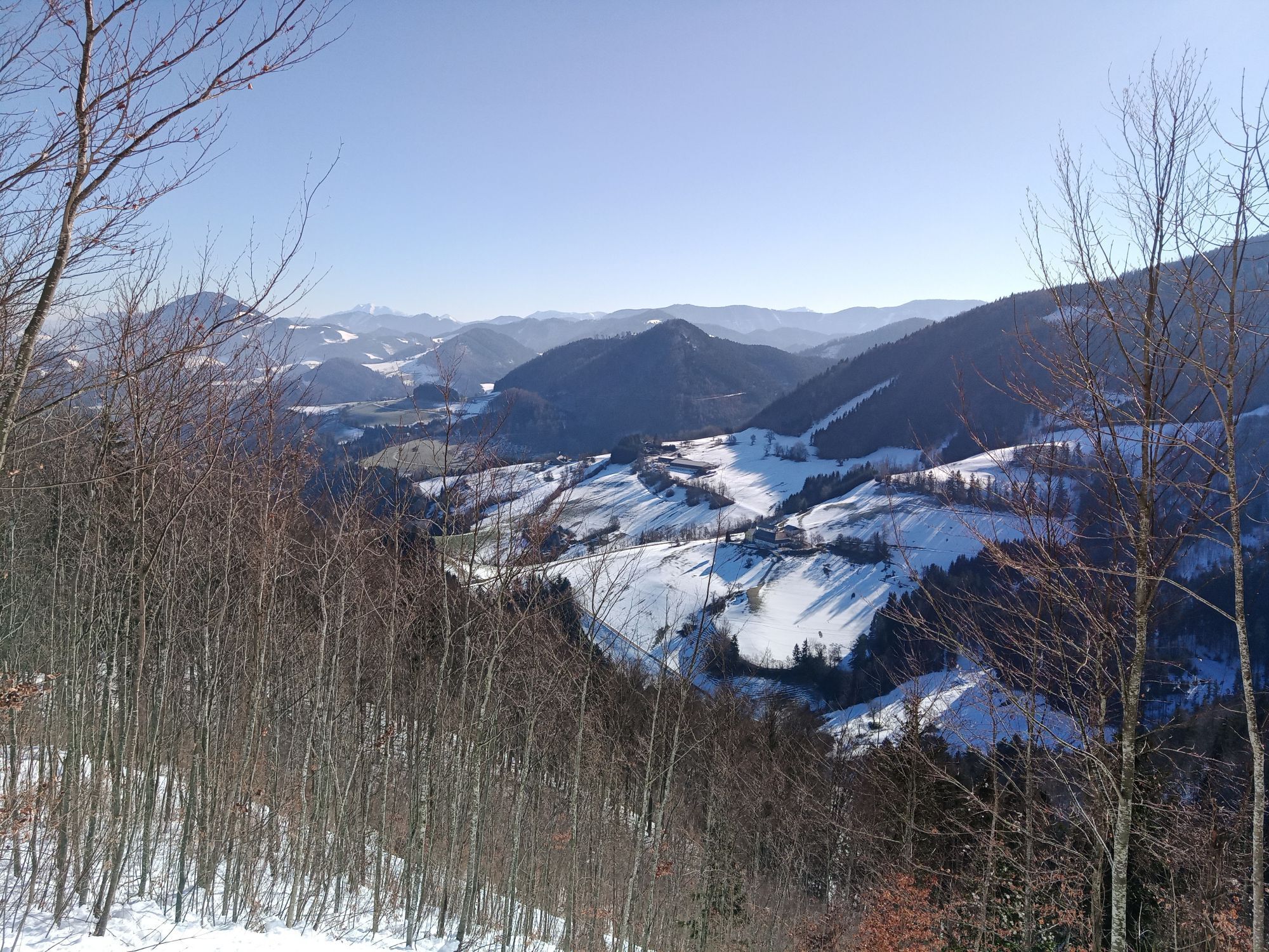
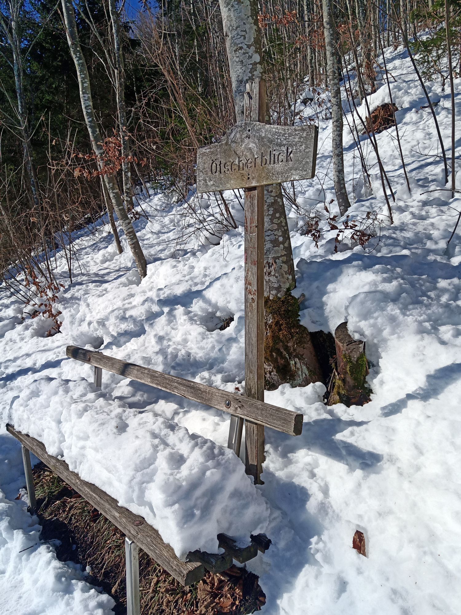
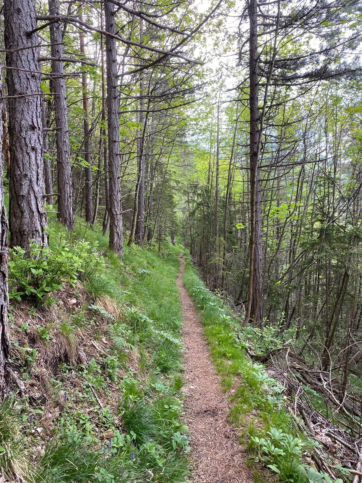
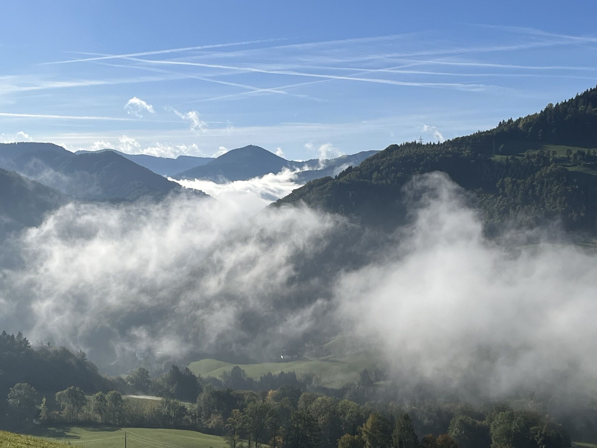
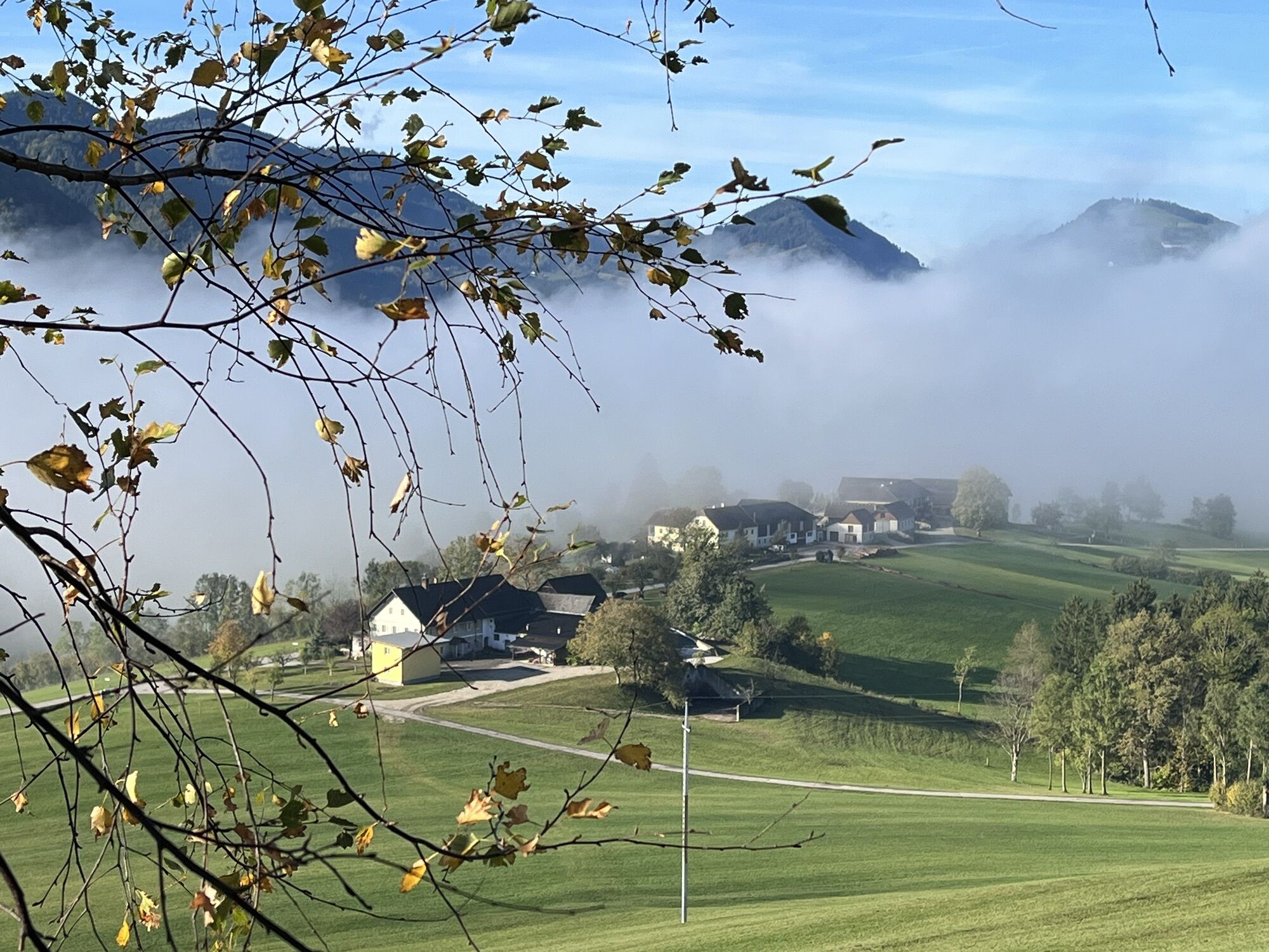
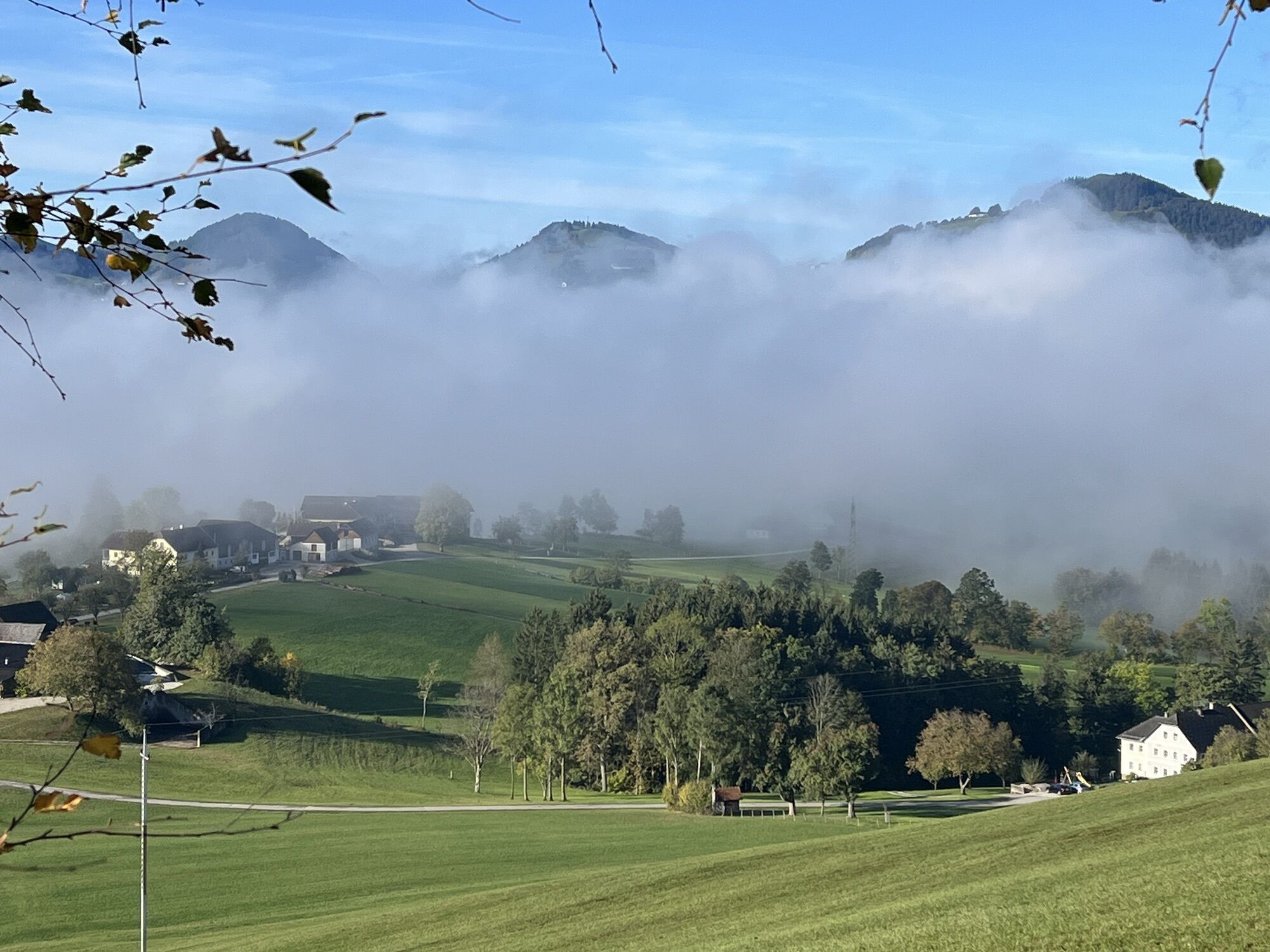
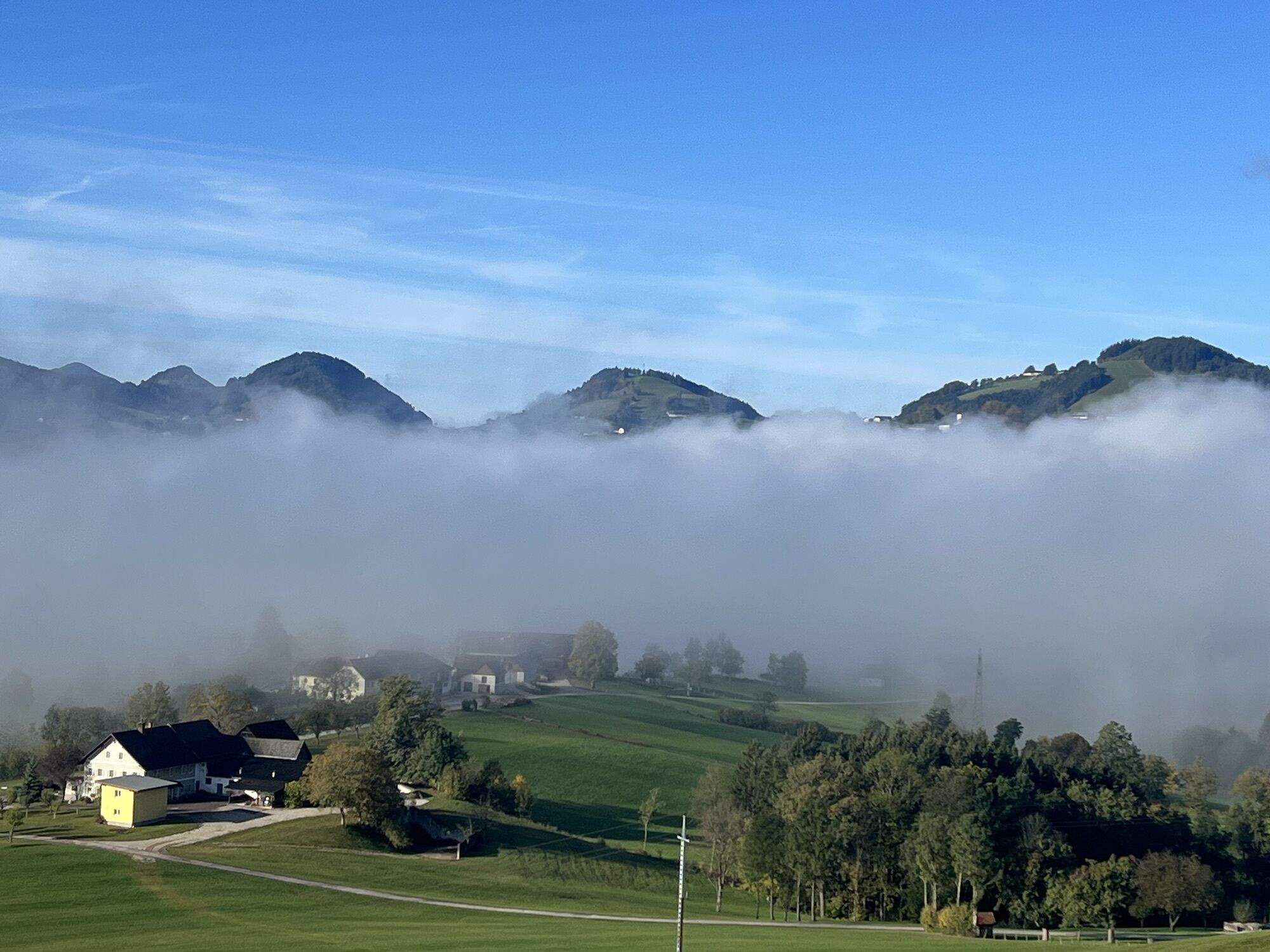
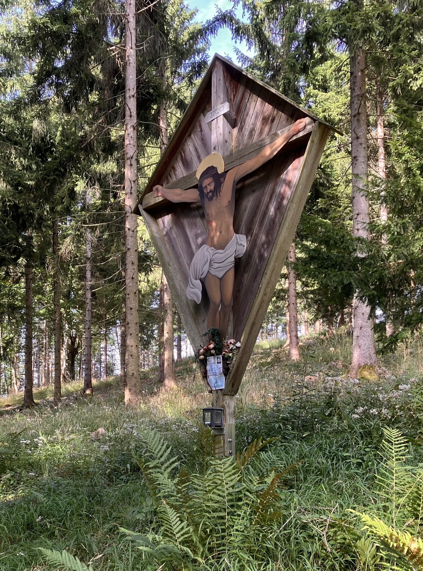
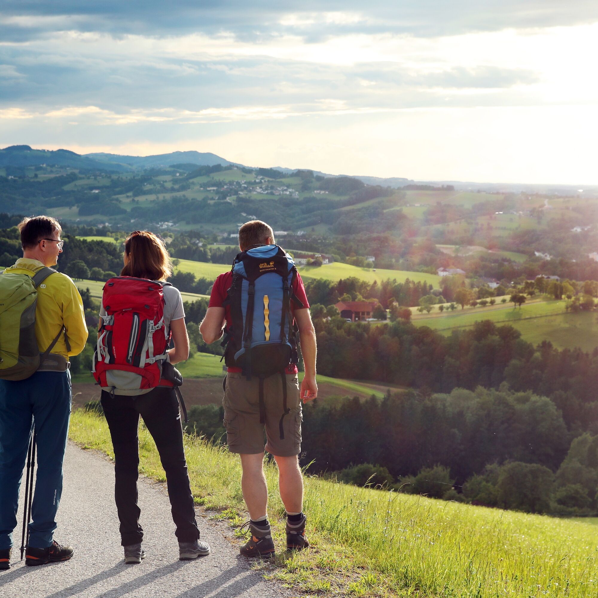
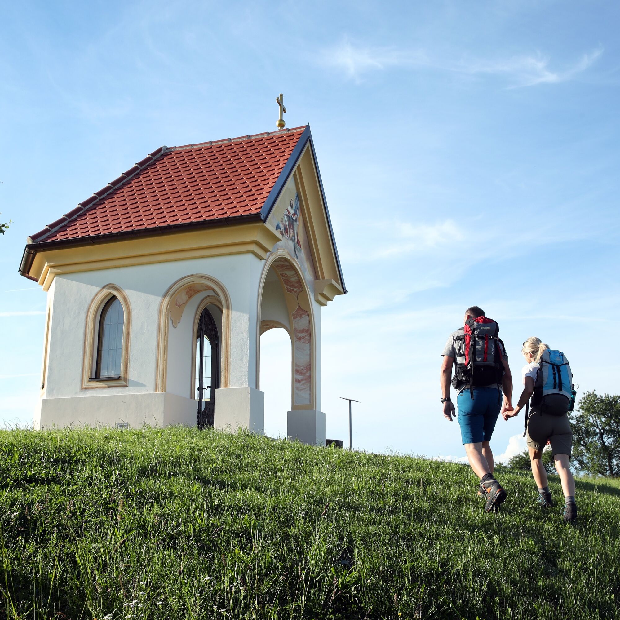
It is best to consciously start the pilgrim circular route at the "Sonntagberg Pilgrim Guesthouse/Pilgrim Information" at the entrance to the gallery of the Basilica of the Holy Trinity. Climbing the monumental stone staircase impressively conveys the "stepping out" of everyday life associated with pilgrimage. It is about committing to the 4 stages. Depending on your motivation, you can open yourself to the many impressions this special corner of the Mostviertel has to offer.
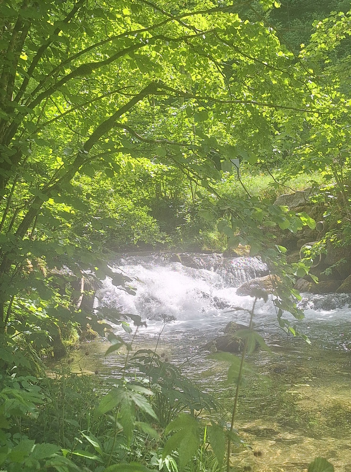
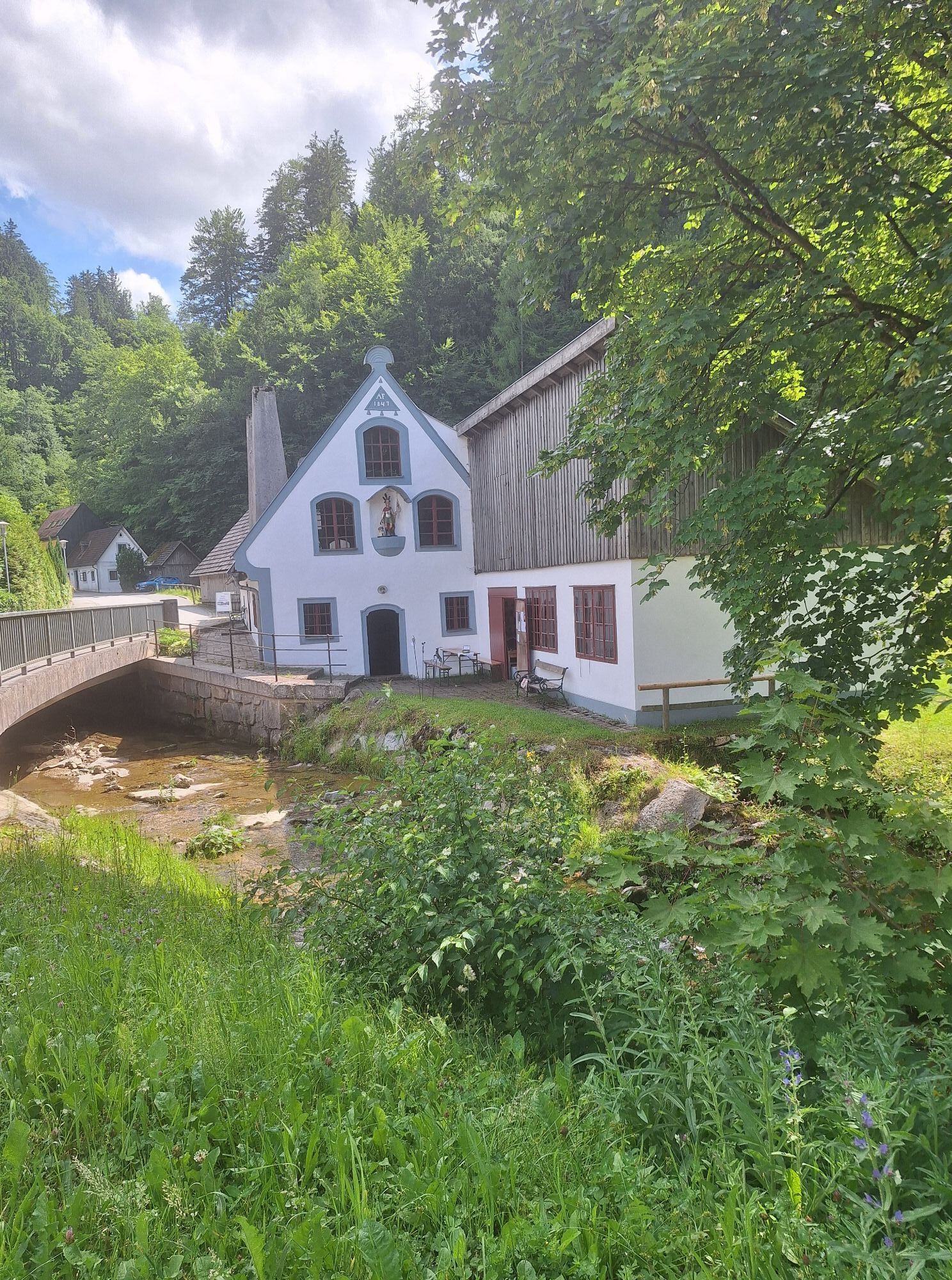
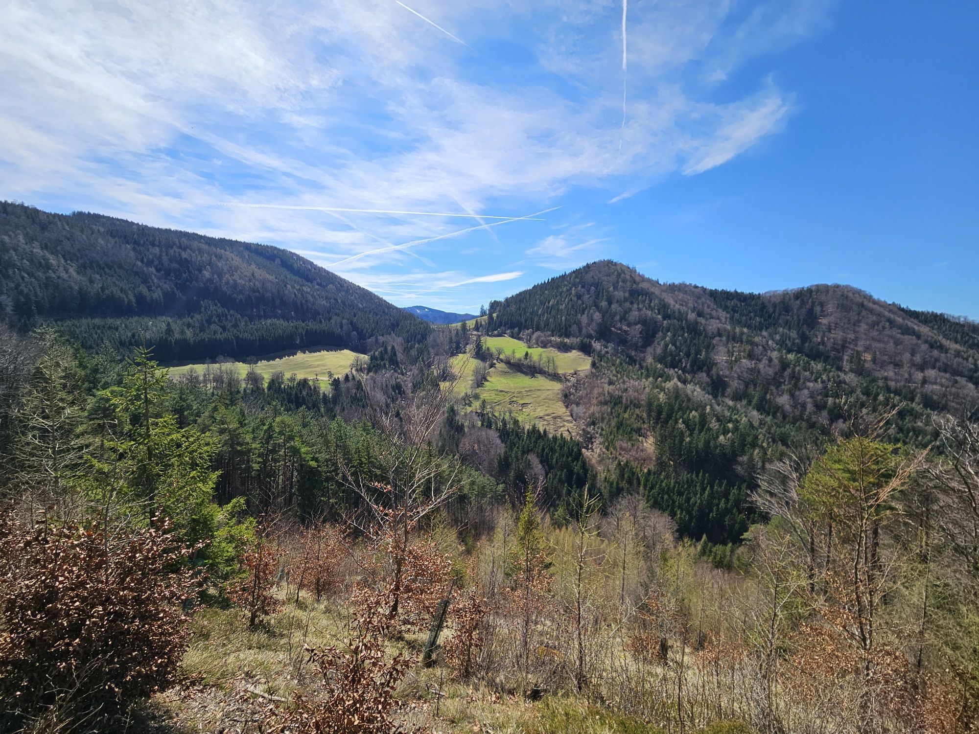
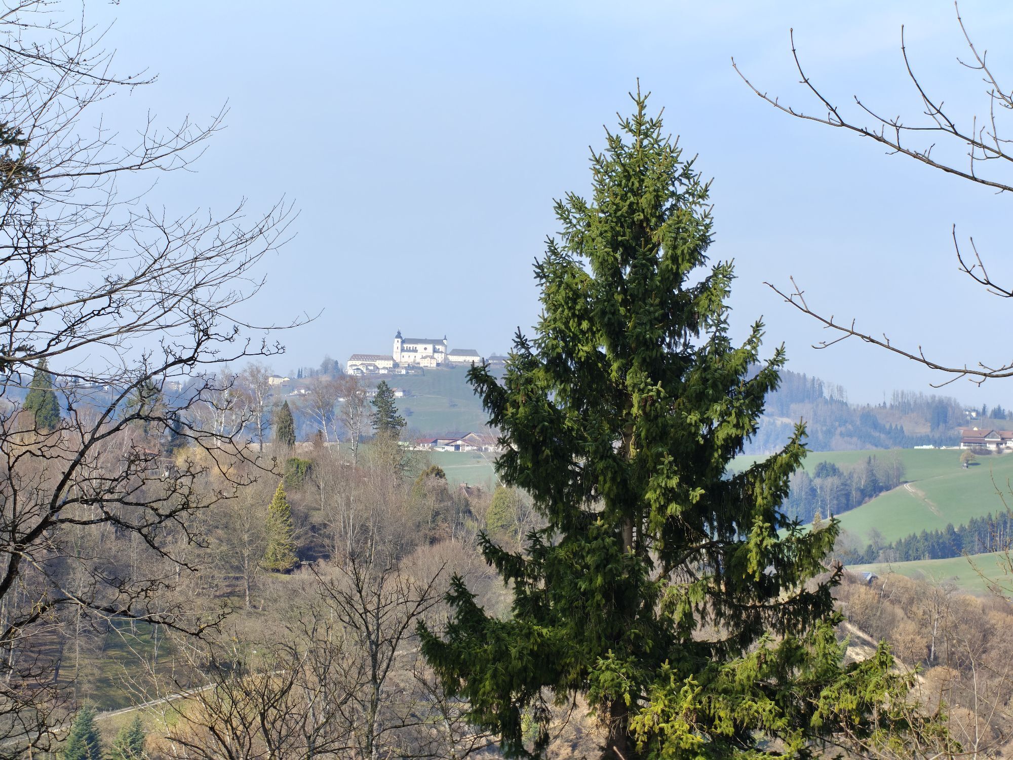
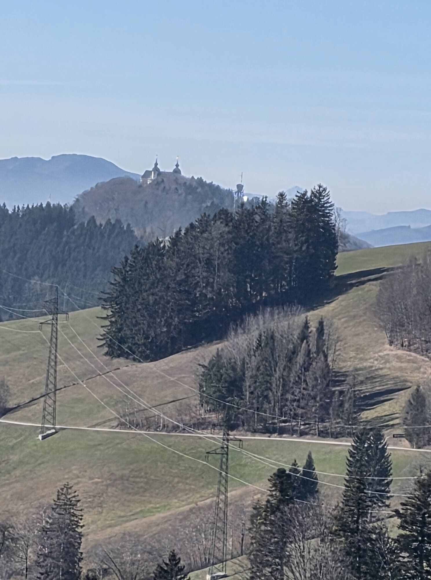
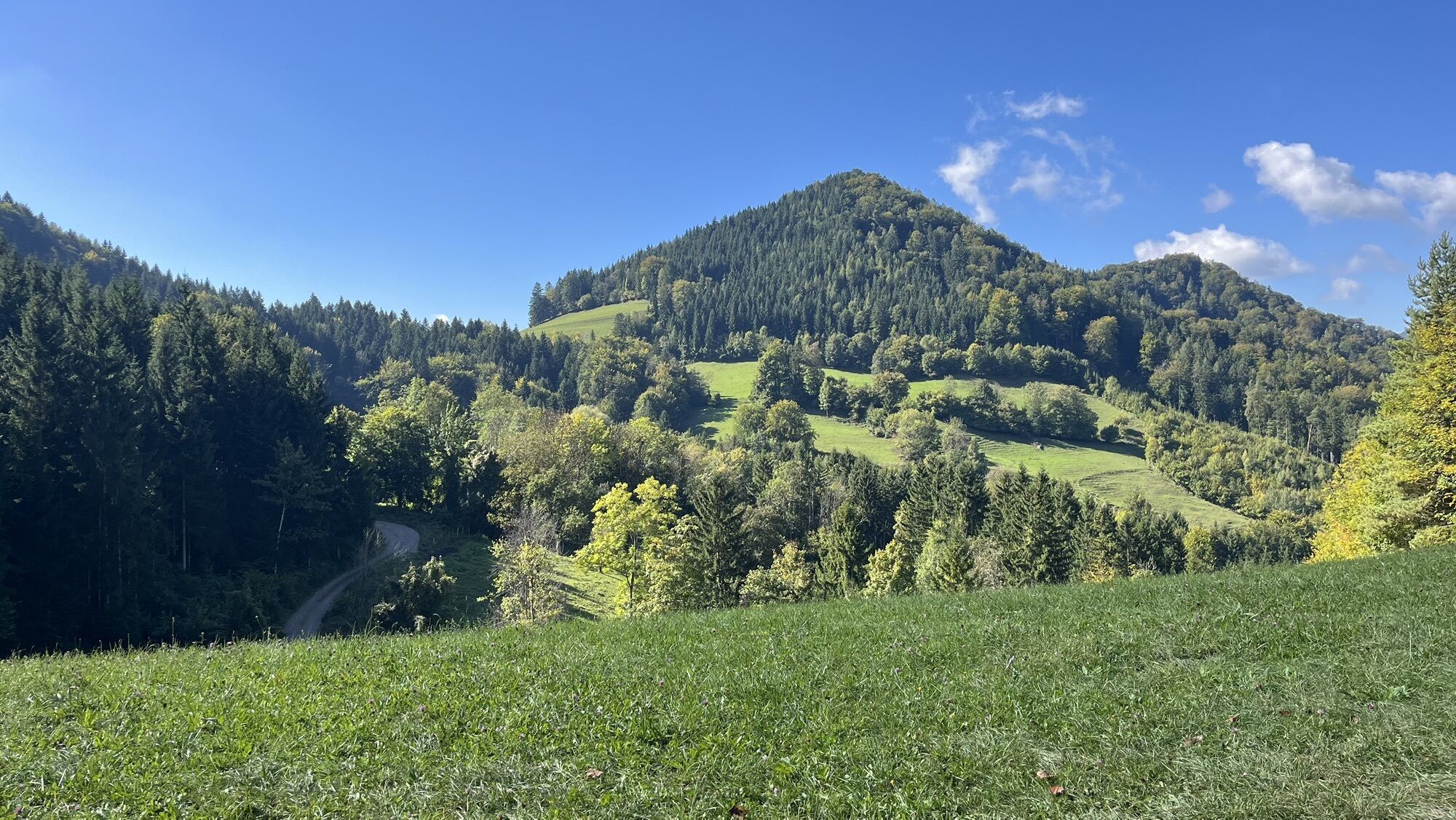
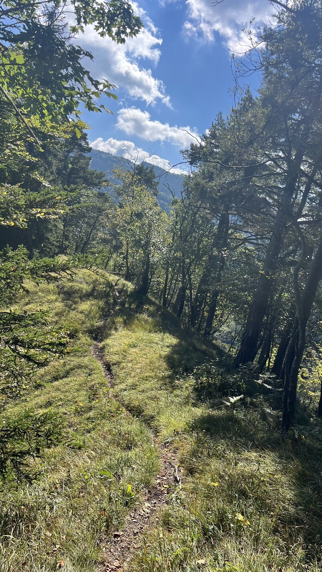
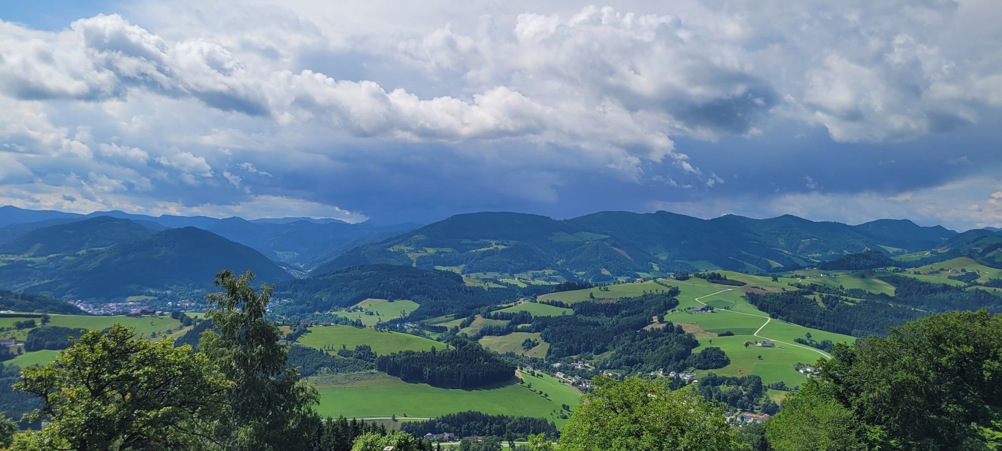
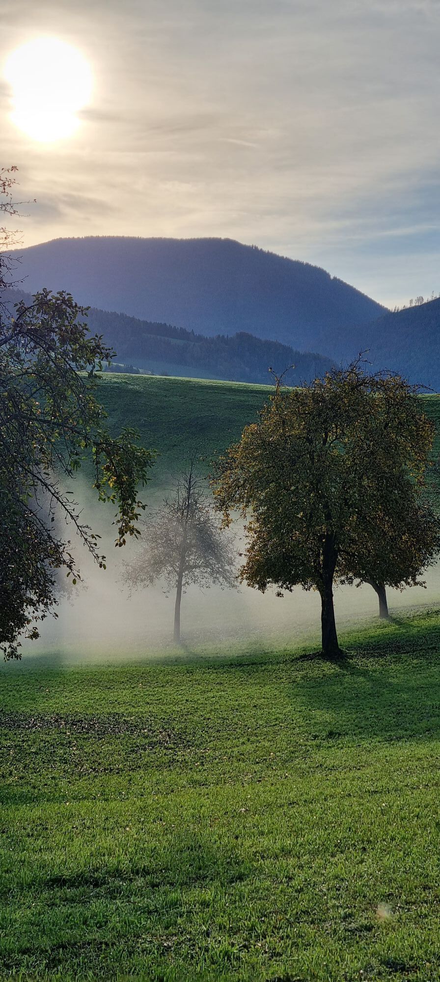
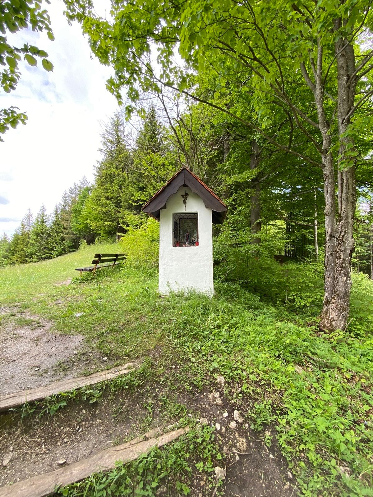
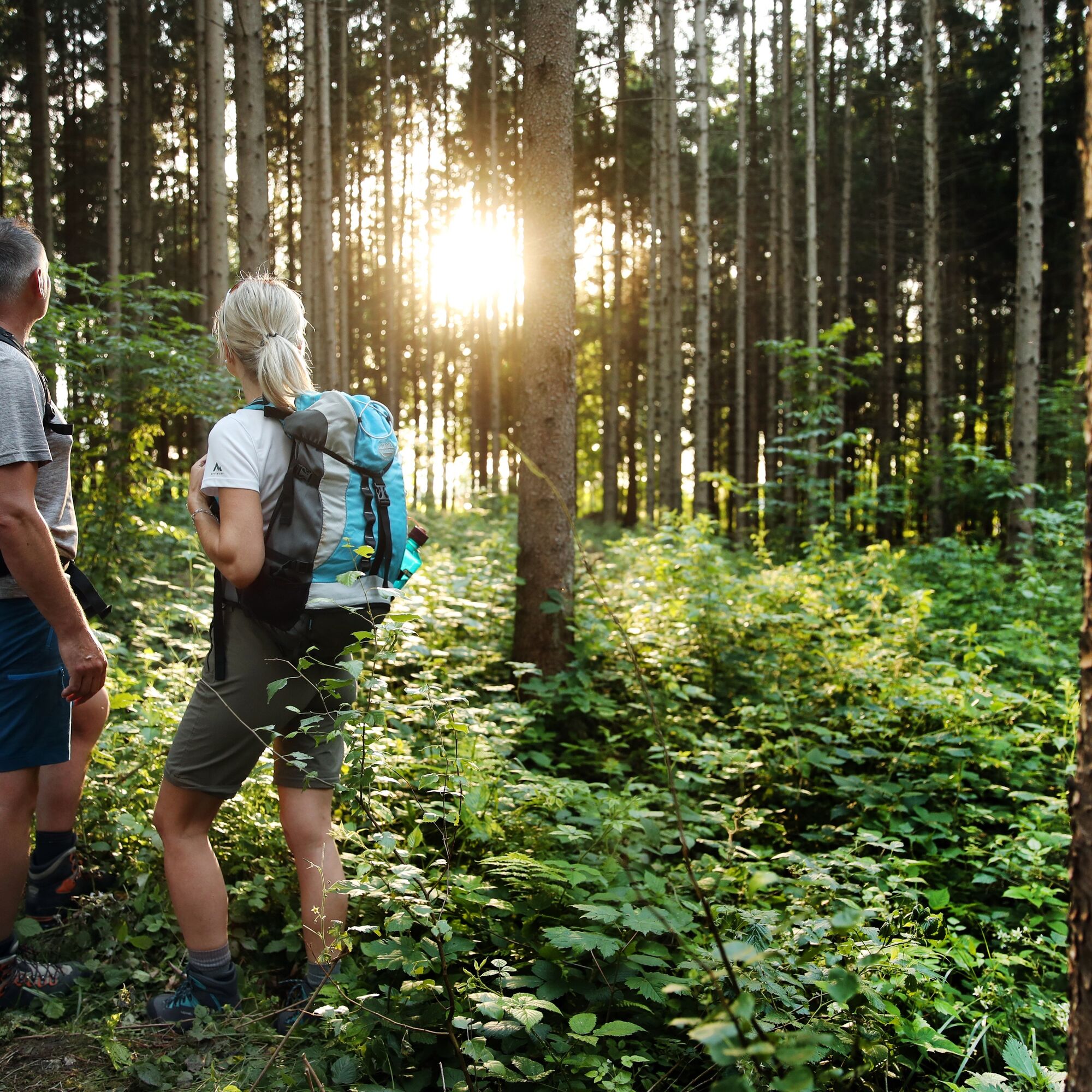
Whether it is the unique and contrasting landscape, the diverse culture with a view into the past and present, or the people who lovingly care for their homeland – you can indulge in the regionally focused cuisine of this culinary region of Lower Austria or be gifted by the spiritual experience of pilgrimage. The conscious route guidance always holds something special. A particular highlight is the recurring view of the Basilica Sonntagberg.

By car from St. Pölten via the A1 West motorway, exit Amstetten West.
Reachable by train in about 1:30h from St. Pölten, with a transfer in Amstetten.
Oblíbené prohlídky v okolí
-
4.7
Opponitz Gorge Hiking Trail
středníTuristika 4.42 km -
4.3
Freithofberg
středníTuristika 9.15 km -
4.3
Prochenberg von Ybbsitz
světloTuristika 6.29 km -
4.1
wanderung auf den alpl
středníTuristika 8.18 km -
3.8
Lindaumauer (1103 m)
Turistika 3.40 km -
4.5
Lindaumauer, Maria Neustift
středníTuristika 5.53 km -
5.0
Prochenbergrunde
středníTuristika 5.96 km -
4.3
Friesling (1340m) ab Parkplatz Grosse Kripp
středníTuristika 9.01 km -
4.5
Sebaldusweg stage 3 of 4 | Maria Neustift - Gaflenz
středníPoutní stezka 20.4 km -
4.9
Reidlingberg - Gruber Kreuz - Hochkogel
světloTuristika 10.0 km
Pěší turistika a stopování


Nenechte si ujít nabídky a inspiraci pro vaši příští dovolenou
Vaše e-mailová adresa byl přidán do poštovního seznamu.