


Almen E-Bike Tour zur Kitzhütte und Siebenhütten-Alm
Fotografie našich uživatelů
-
 © Michael SonnleitnerVytvořeno dne 09.10.2022
 -
 © MártiVytvořeno dne 27.09.2025
 -
 © Silvia HuberVytvořeno dne 05.08.2025
 -
 © cbienertVytvořeno dne 11.08.2021
 -
 © Erwin KrumböckVytvořeno dne 22.09.2024
 -
 © Erwin KrumböckVytvořeno dne 22.09.2024
 -
 © Erwin KrumböckVytvořeno dne 22.09.2024
 -
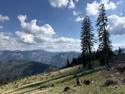
 © Michael SonnleitnerVytvořeno dne 09.10.2022
 -
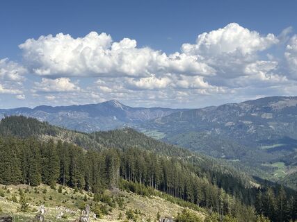
 © Michael SonnleitnerVytvořeno dne 09.10.2022
 -
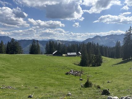
 © Michael SonnleitnerVytvořeno dne 09.10.2022
 -
 © Michael SonnleitnerVytvořeno dne 09.10.2022
 -
 © Michael SonnleitnerVytvořeno dne 09.10.2022
 -
 © Michael SonnleitnerVytvořeno dne 09.10.2022
 -
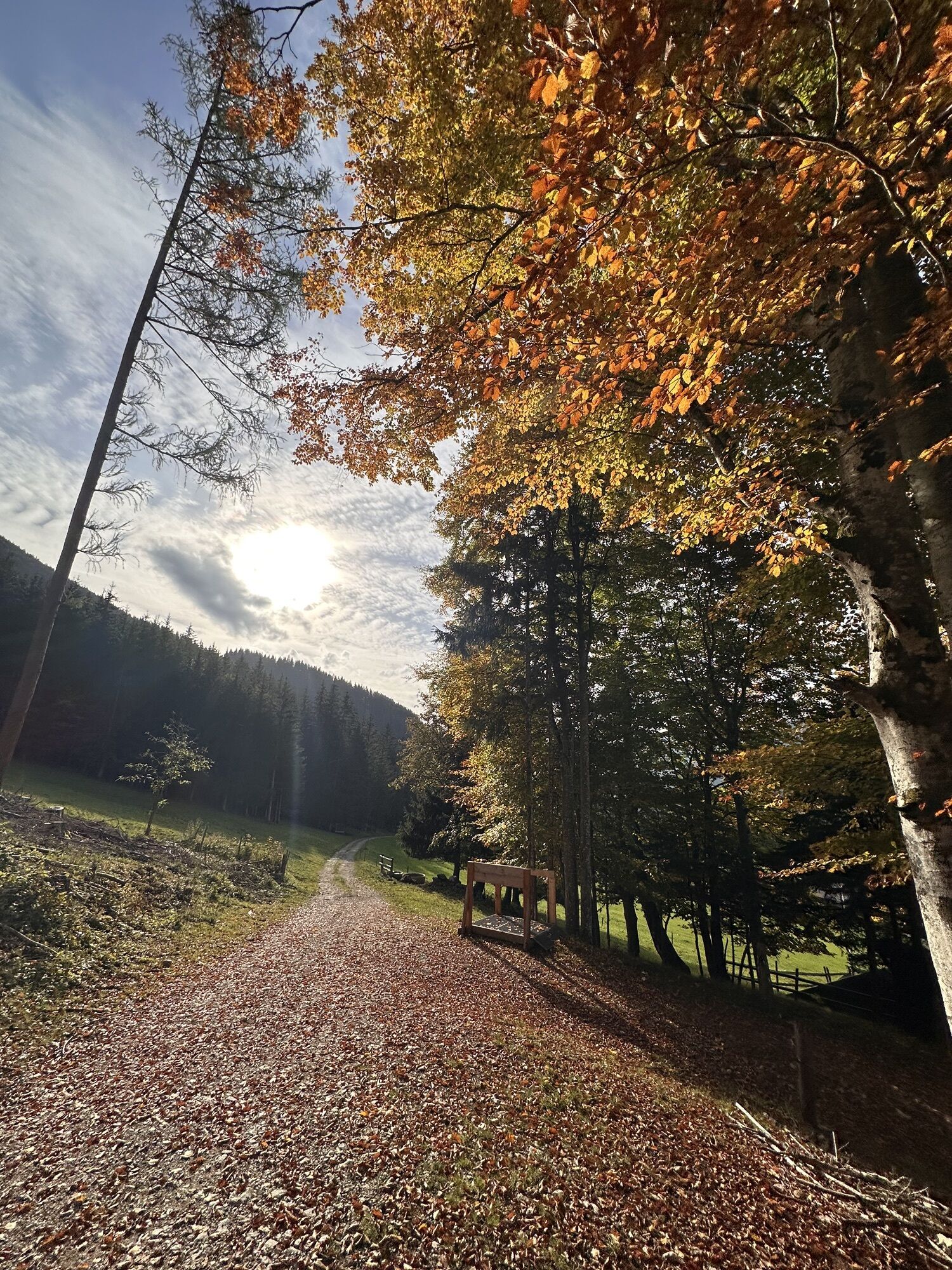
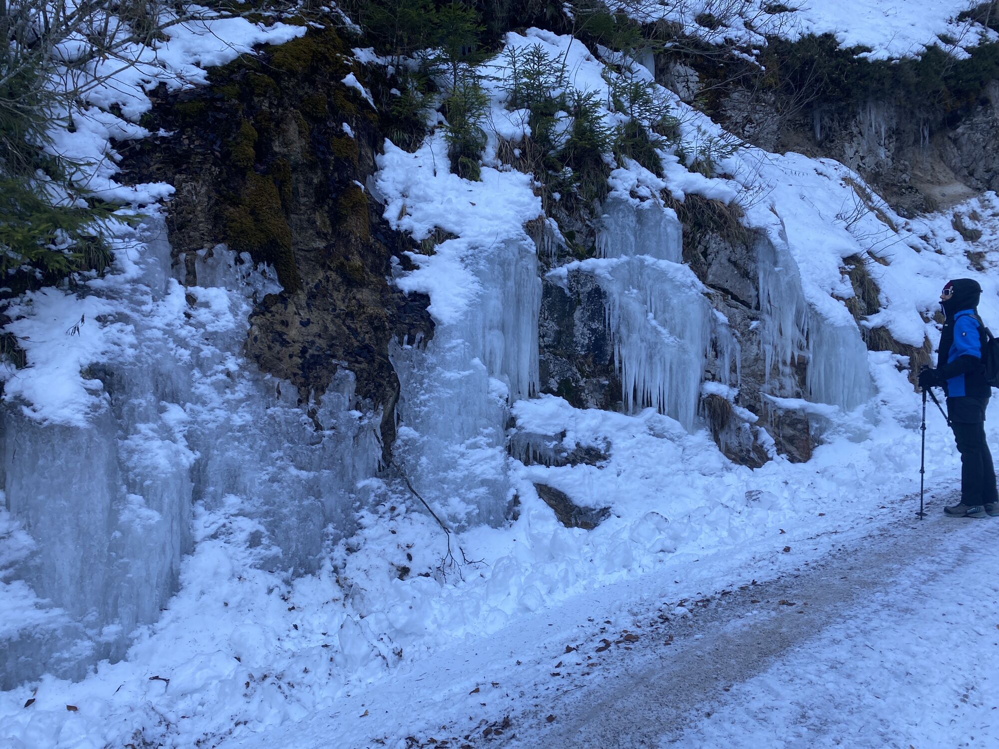
 © Thomas HofbauerVytvořeno dne 18.01.2026
 -
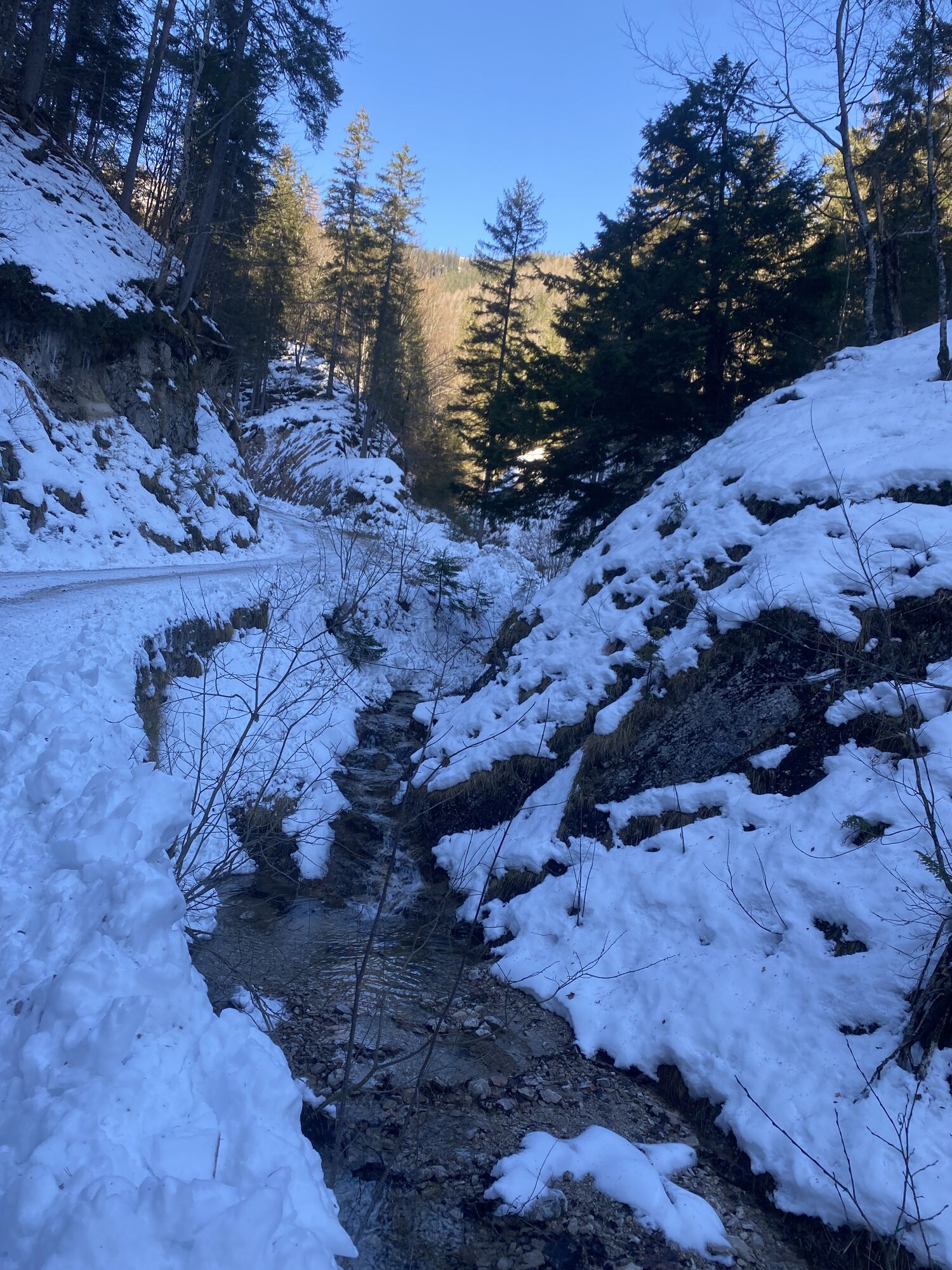
 © Thomas HofbauerVytvořeno dne 18.01.2026
 -
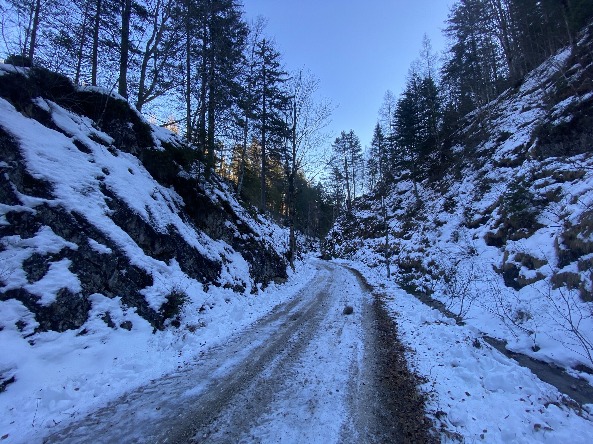
 © Thomas HofbauerVytvořeno dne 18.01.2026
 -
 © Thomas HofbauerVytvořeno dne 18.01.2026
 -
 © Silvia HuberVytvořeno dne 01.05.2025
 -
 © Silvia HuberVytvořeno dne 01.05.2025
 -
 © Silvia HuberVytvořeno dne 01.05.2025
 -
 © Silvia HuberVytvořeno dne 01.05.2025
 -
 © Silvia HuberVytvořeno dne 01.05.2025
 -
 © Silvia HuberVytvořeno dne 01.05.2025
 -

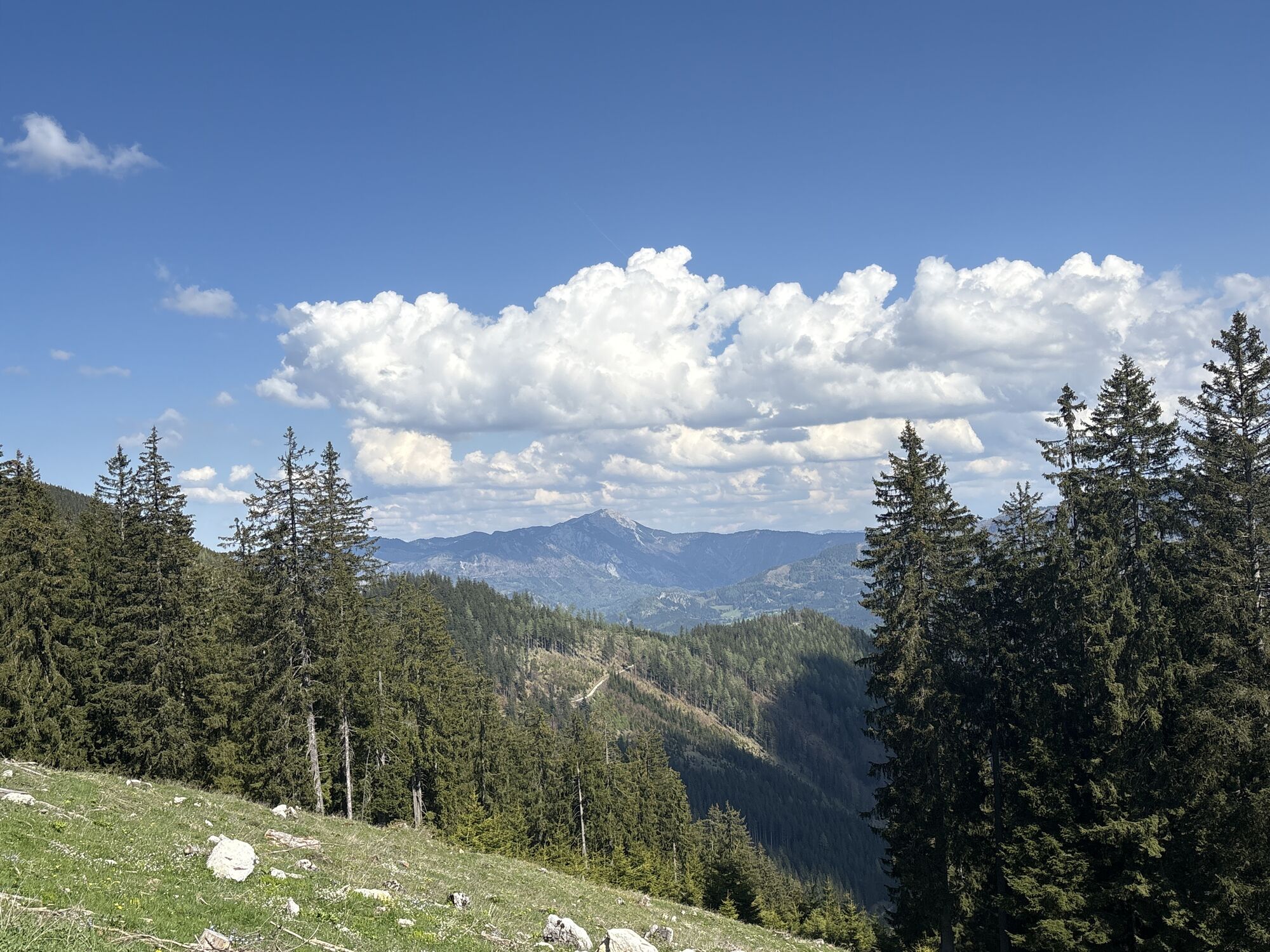
 © Anita DeinhoferVytvořeno dne 14.10.2023
 -

 © WanderkatzeVytvořeno dne 14.08.2023


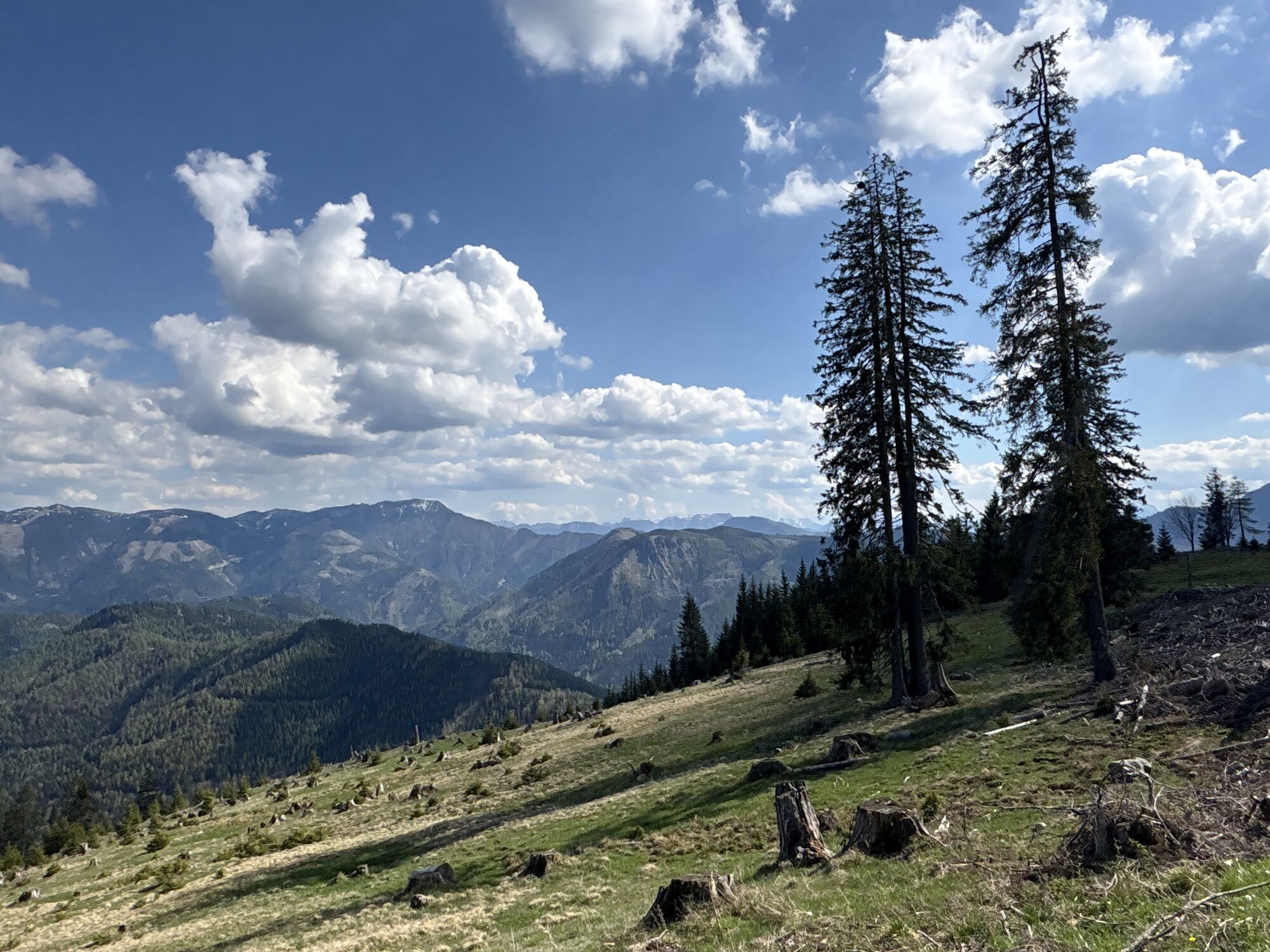


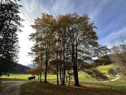
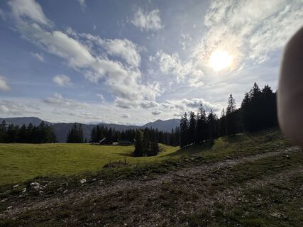
Panorama, požitek, Gastronomie, daleké výhledy, louky, lesy, akce, vysokohorské pastviny... Almen E-Bike Tour na Königsbergu nabízí od všeho trochu. Stinné lesní úseky se střídají s krásnými mýtinami a...
Panorama, požitek, Gastronomie, daleké výhledy, louky, lesy, akce, vysokohorské pastviny... Almen E-Bike Tour na Königsbergu nabízí od všeho trochu. Stinné lesní úseky se stÅídají s krásnými mýtinami a svÄžími alpskými loukami - různá jsou i stoupání, než pojedete témÄÅ po rovinÄ po hÅebeni Königsbergu a užijete si fantastické výhledy na Ybbstalské Alpy.
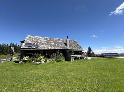
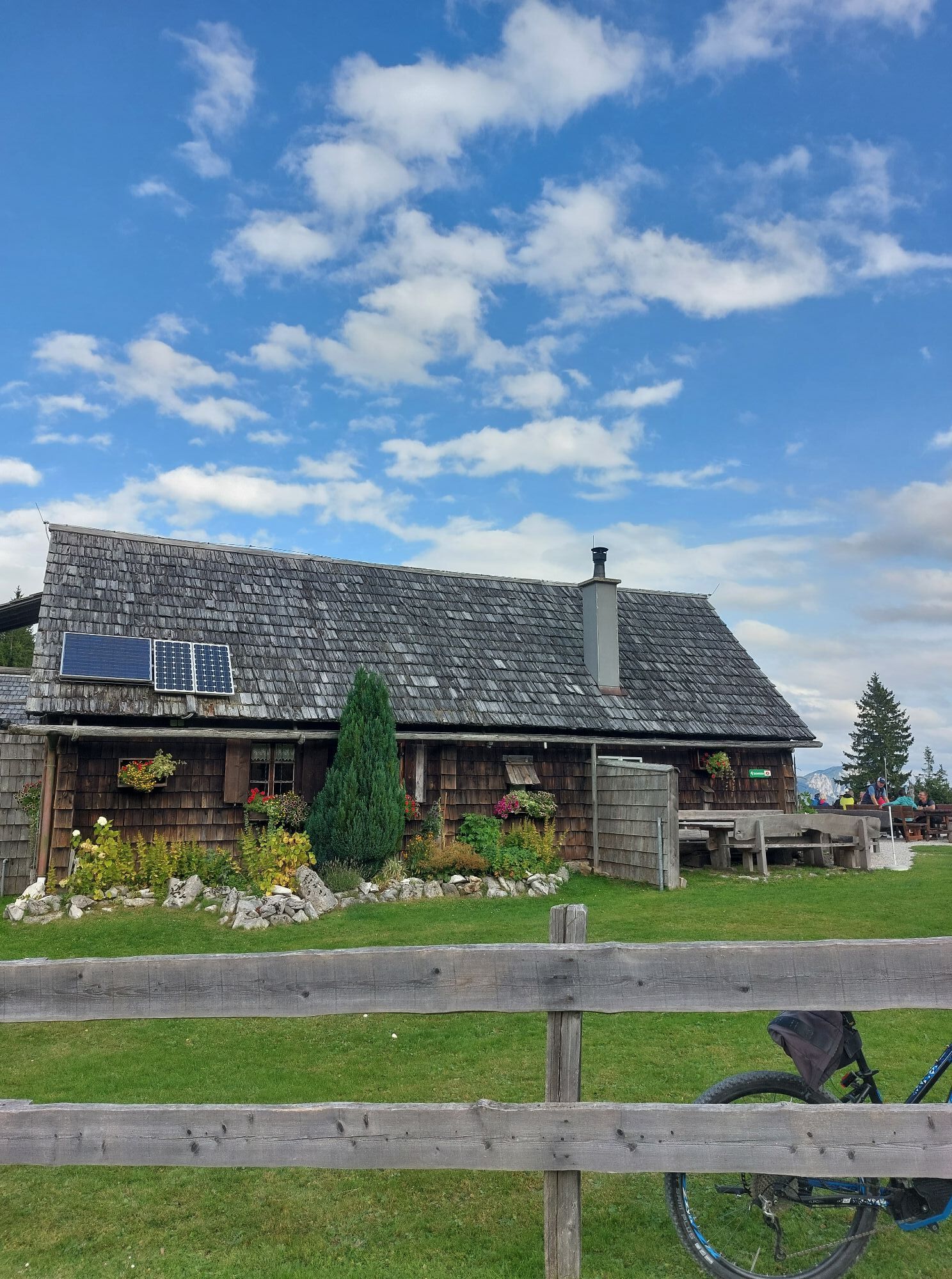
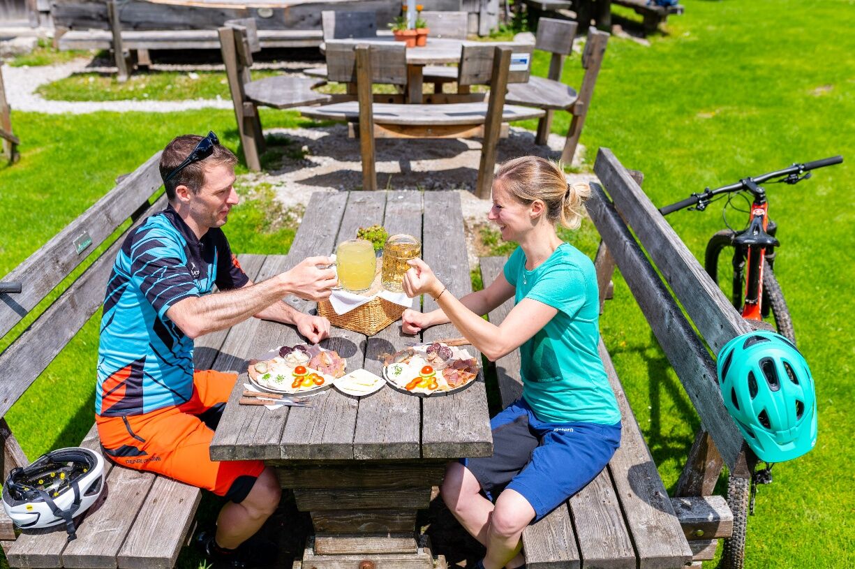
DvÄ rustikální horské chaty, Siebenhütte a Kitzhütte, zvou k odpoÄinku a pohostí cyklisty regionálními specialitami a typickými jídly z horských chat. Pestrost je na této túÅe nejvyšší prioritou - pÅesvÄdÄte se sami!

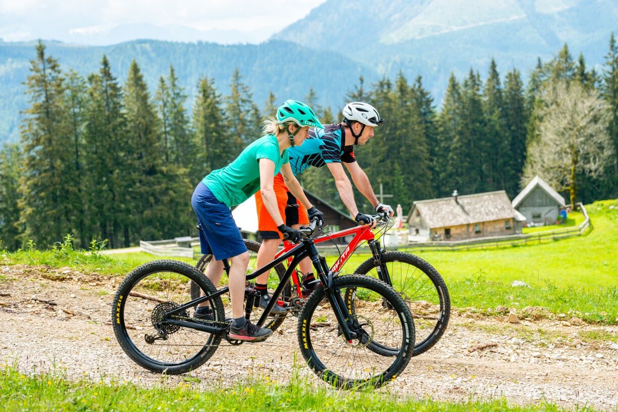
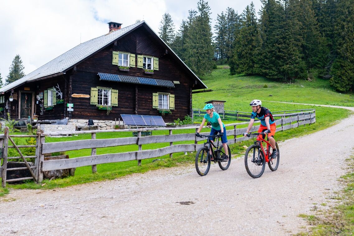
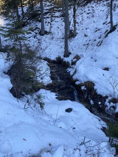
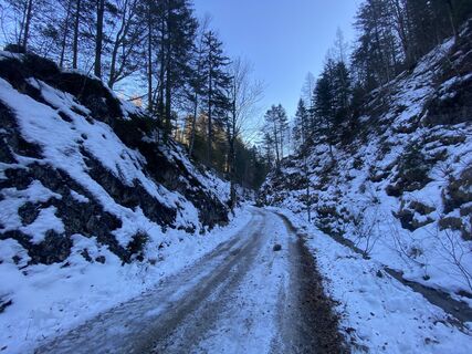
The route starts directly at the Königsberg bike park, where you can also pick up your rental bike if needed. There is a steep paved descent of 3 km down to the center of Hollenstein. From here, the route goes gently to moderately uphill along the Sandgraben, always accompanied by the Hammerbach. After the Wentsteinhammer, the paved ascent becomes steeper up to the fork at Promau. From here, the route continues only on gravel or forest paths. A short descent leads into the wonderfully romantic forest and alpine pasture landscape of Königsberg. From now on, it goes continuously uphill – here you also have the option to shorten the route and continue directly to the Kitzhütte (steep climb!).
Regularly, about 2 km after the start of gravel, you turn sharply right and ride along the south slope of Königsberg – here flat sections alternate with double-digit incline percentages. At the fork going down to Göstling, you take a short steep climb on the left before arriving at the Siebenhütte for a well-deserved break.
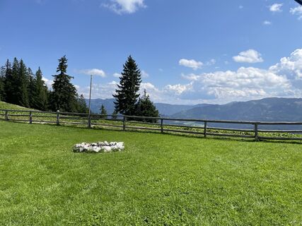
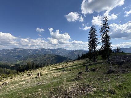
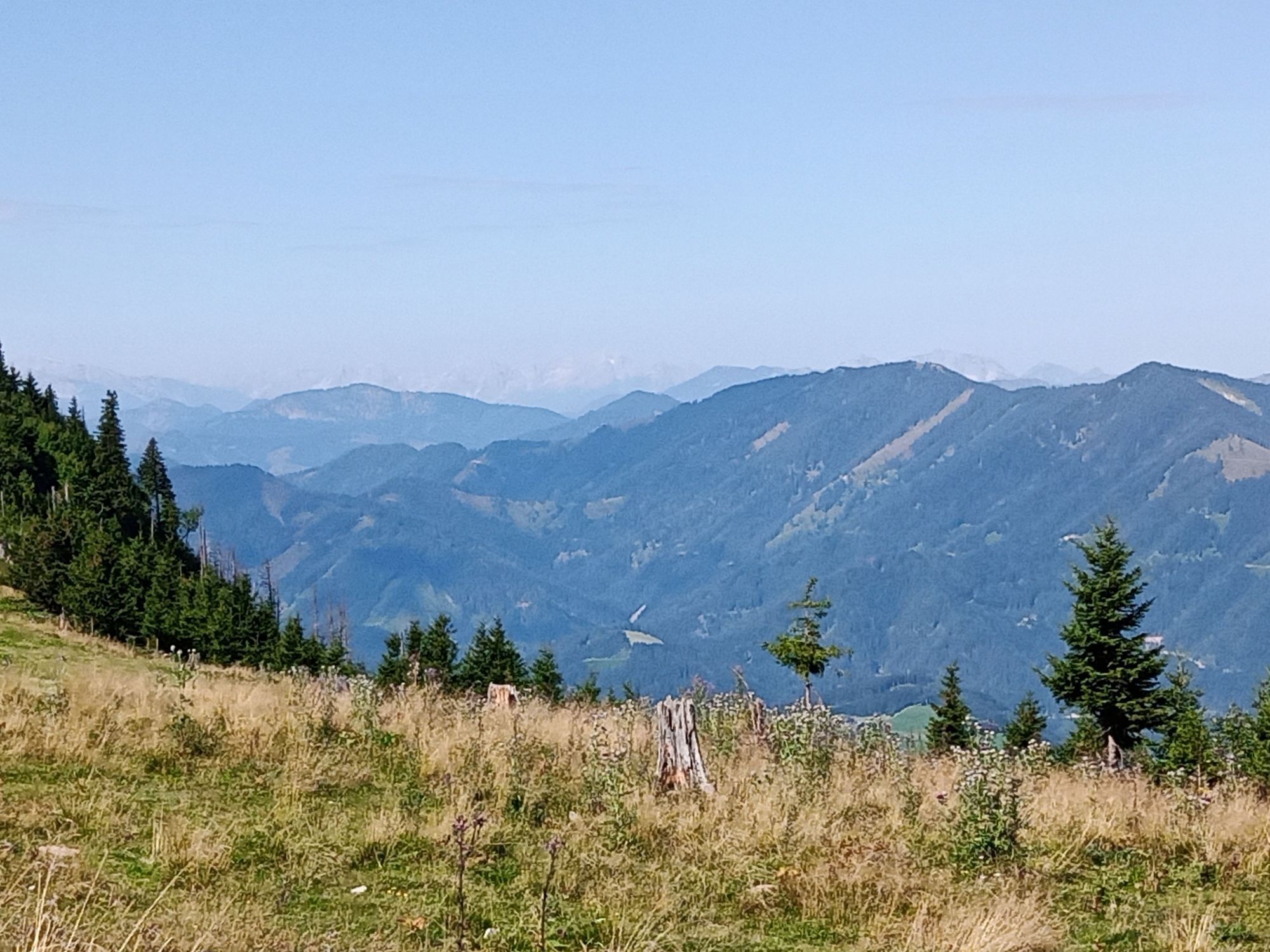
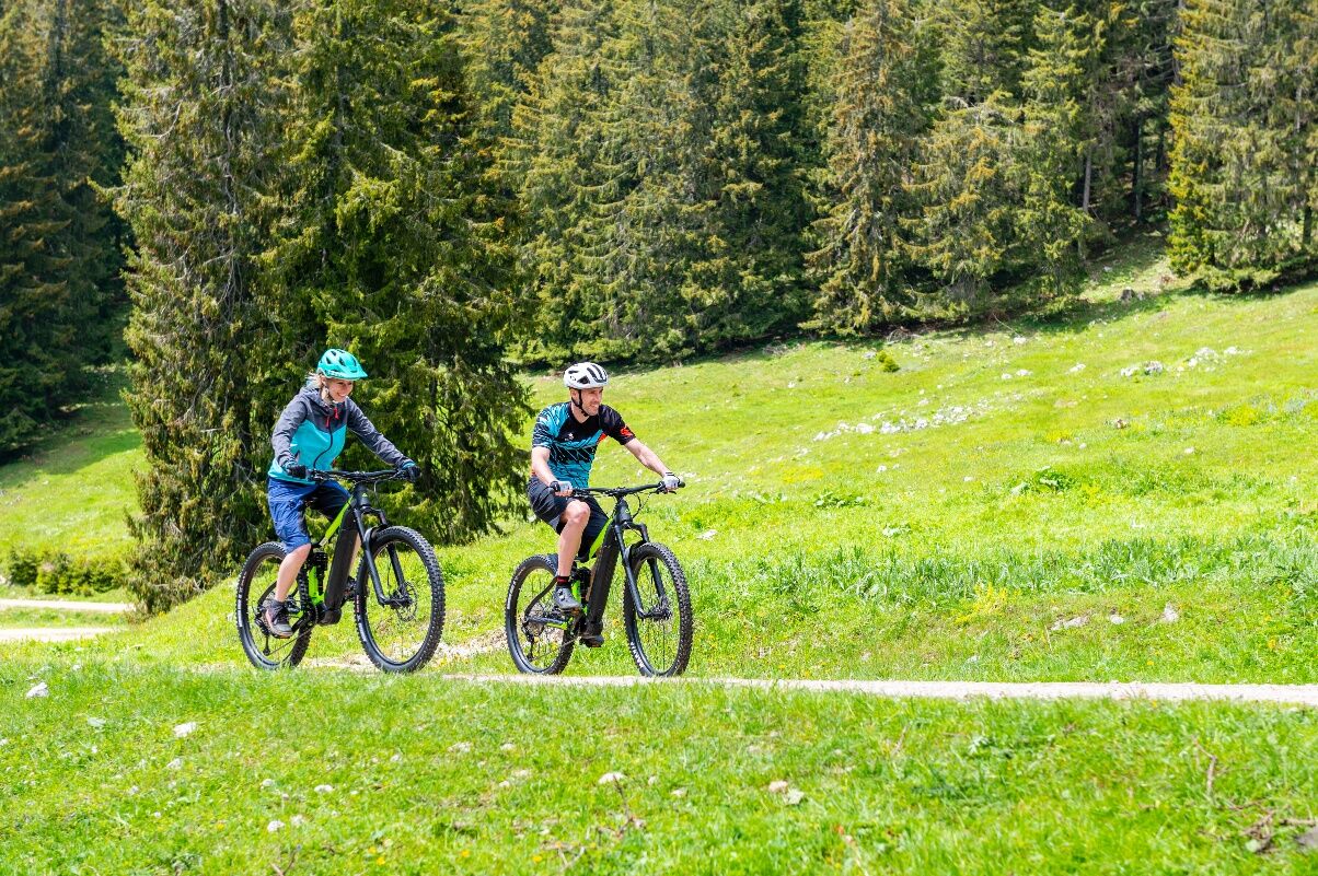
Then follows a small further climb to the ridge where the route truly lives up to its name as it continues almost flat along Königsberg over lush alpine meadows and narrow (hiking) paths – including a stunning 360° view. Before the actual descent back to the bike park begins, the Kitzhütte invites you to a second rest after a short detour to the left, surrounded by forest and alpine meadows.
The long descent back starts with two long straight sections on moderately steep gravel terrain before at about the halfway point of the descent a beautiful view over the Ybbstal (caution cows – they are used to bikers, but please keep your distance!) opens up at a clearing.
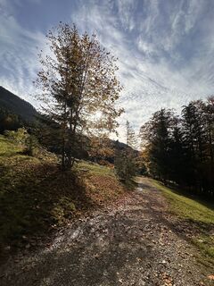
Then you cross the slope at the upper part of the ski area and enter a last wonderful forest section where the trees provide shade before the last meters lead back on asphalt to the starting point.
(E-)MTB with appropriate tires and functioning brakes. Rain protection or long-sleeve jersey recommended for the break.
Riding skills on steep (partly over 10% incline/decline) and uneven (gravel, narrow forest path) terrain are prerequisites for this route. Especially downhill, do not underestimate the total weight of the e-bike + rider and the accordingly (longer) braking distance!
Beware of grazing animals - dismount if necessary.
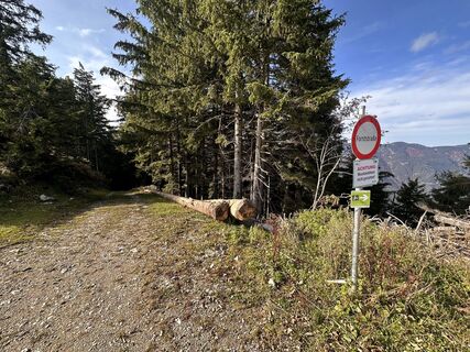
Please observe the winter closure of this and all other MTB trails in the Mostviertel from November 1 to April 14.
Thank you for your understanding!
Highway exit Oed (Salzburg, Linz) or Amstetten West (St.Pölten, Vienna) -> B 121 to Waidhofen/Ybbs -> B31 to Hollenstein/Ybbs. After passing through the town, turn right to the ski area/Königsberg bike park. After about 3 km of ascent, you reach the valley station.
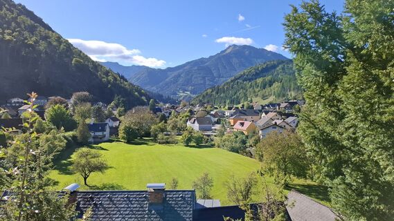
After the route, enjoy a short walk in the idyllic village of Hollenstein including delicious pastries in the pastry shop.
Oblíbené prohlídky v okolí
-
4.5
Hochkar - Schmalzmauer - Geißhöhe - Ringkogel - Schwarzalmhütte - Brunneckerhütte
středníTuristika 13.2 km -
4.9
Kurzeck- Siebenhütten- Turnhöhe- Kitzhütte Göstling an der Ybbs, Österreich
světloTuristika 12.8 km -
4.6
Opponitz Gorge Hiking Trail
středníTuristika 4.42 km -
4.4
Palfauer Wasserlochklamm
středníTuristika 1.78 km -
4.1
wanderung auf den alpl
středníTuristika 8.18 km -
3.8
HOCHKAR Parkplatz Blachlboden Leckerplan Geischlägerhaus Hochkar Scheinecksttl. ret. 23.08.2018
světloTuristika 8.30 km -
4.1
Hollenstein Stupfmauer Voralpe Tanzboden retour 20.08.2016
středníTuristika 15.6 km -
3.6
Von Lassing auf das Hochkar 18.07.2015
středníTuristika 10.3 km -
4.4
Gamsstein, Hollenstein/Ybbs
středníTuristika 14.1 km -
4.3
Friesling (1340m) ab Parkplatz Grosse Kripp
středníTuristika 9.01 km

Pěší turistika a stopování


Nenechte si ujít nabídky a inspiraci pro vaši příští dovolenou
Vaše e-mailová adresa byl přidán do poštovního seznamu.