





Zizur Mayor. Back to Erreniega

Úroveň obtížnosti: 3
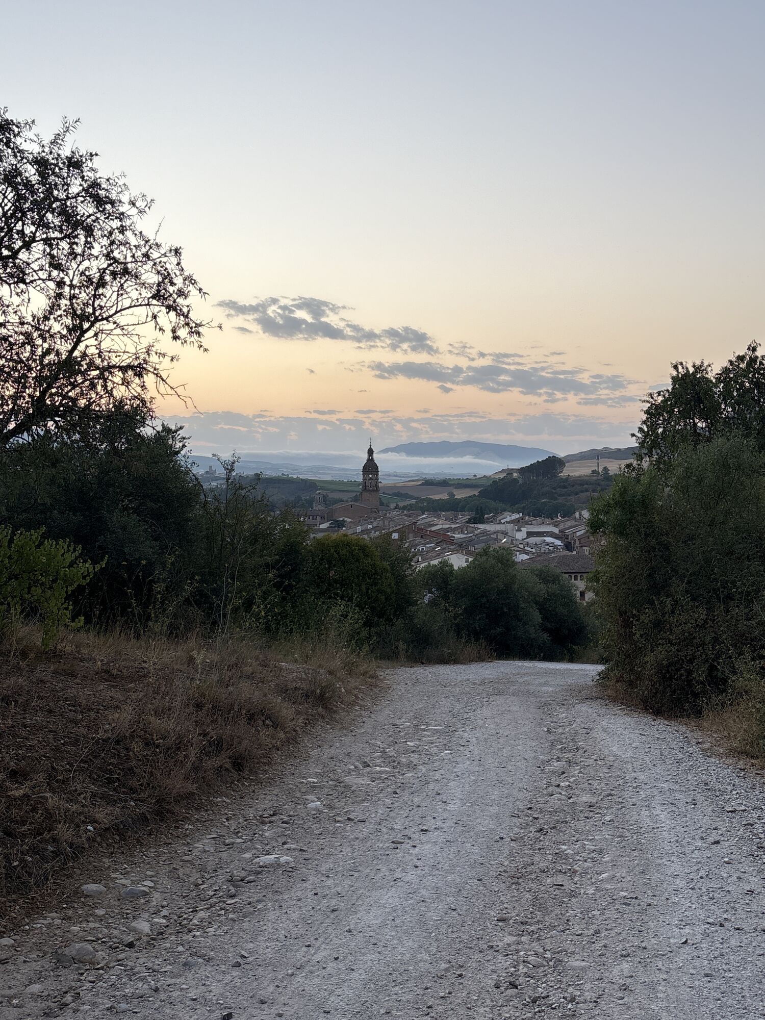
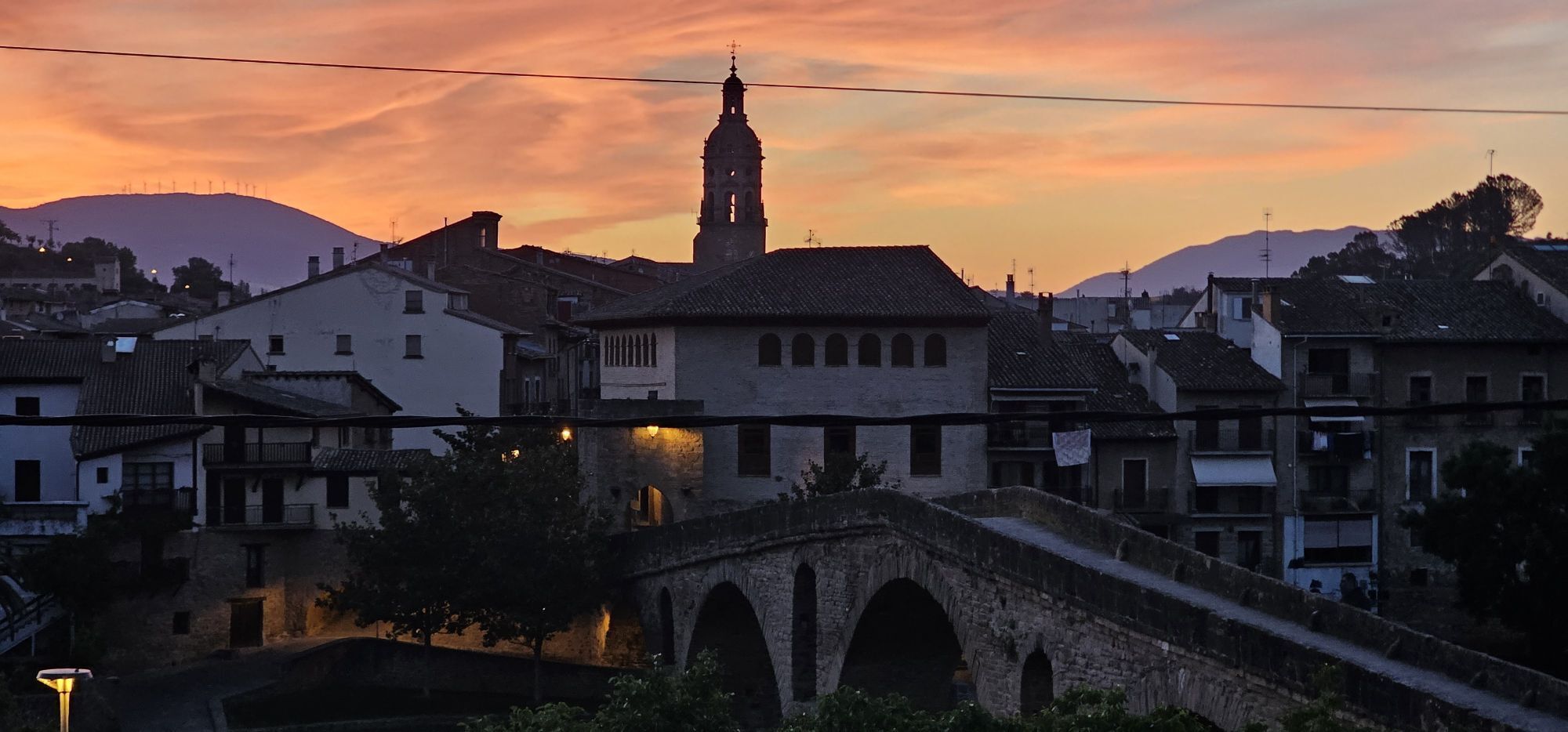
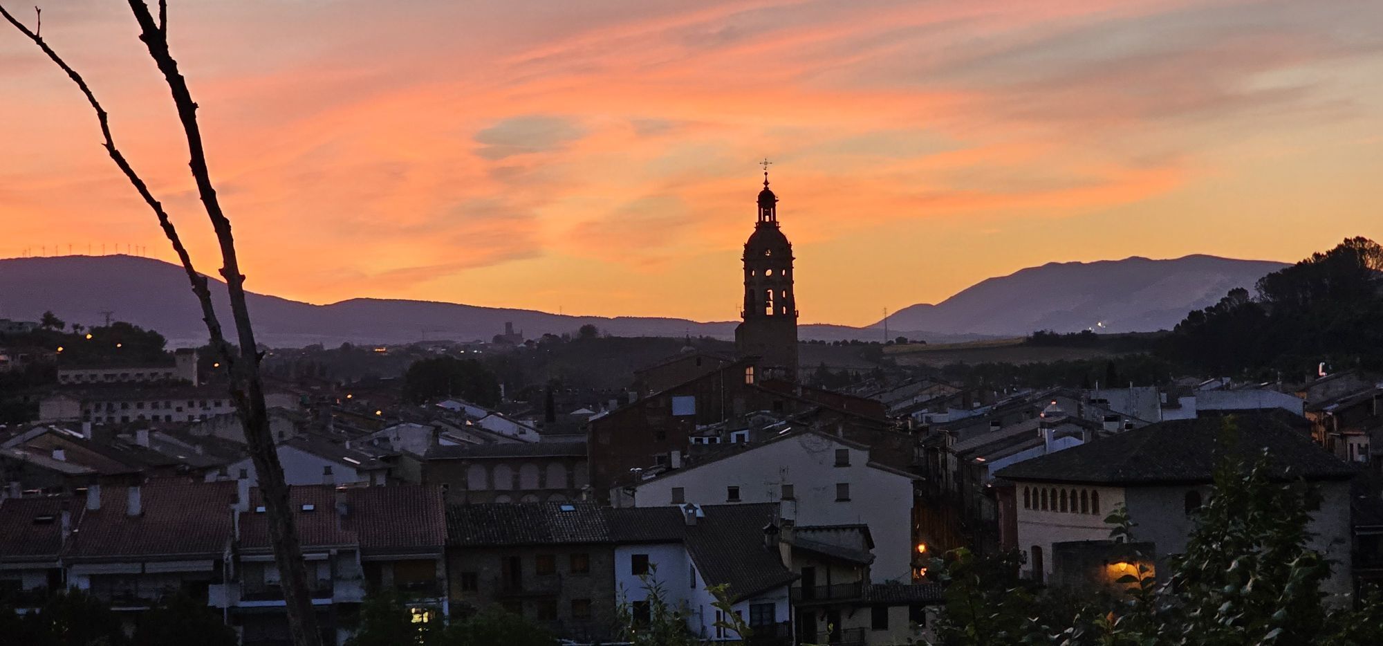
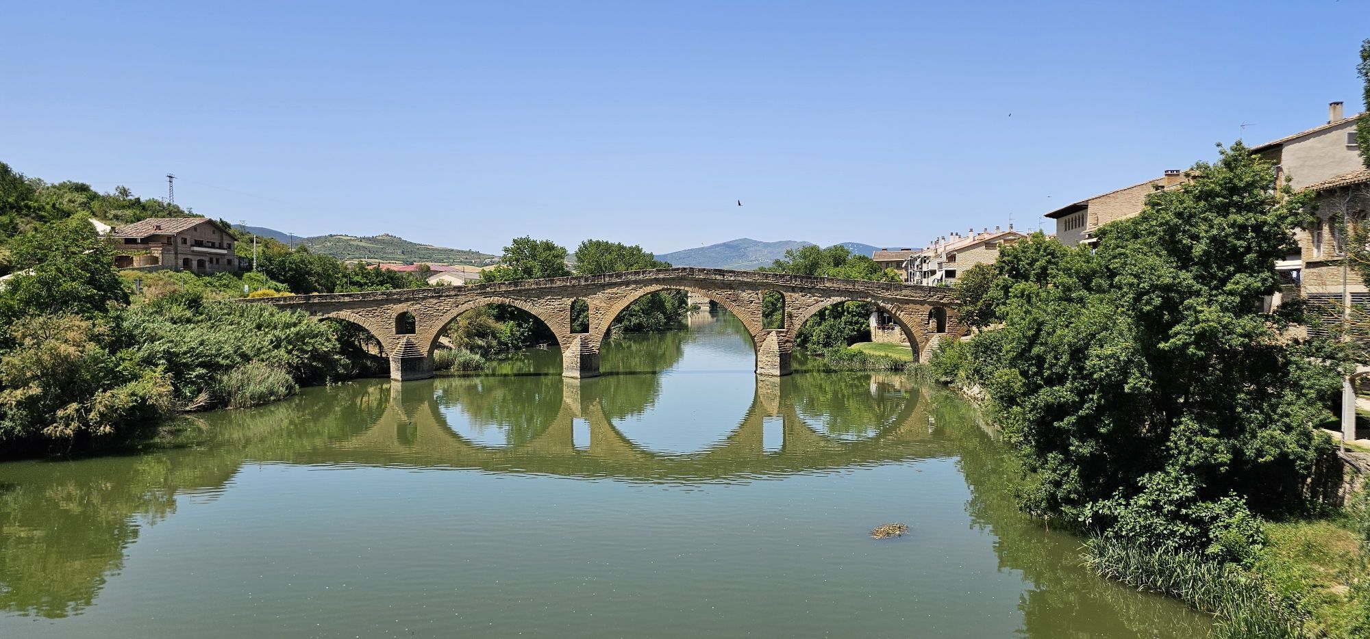
The route that we face begins in Zizur Mayor and surrounds the mountain range, starting the route along the water route. On the ascent to the top of Guirguillano, we take the detour to reach Puente la...
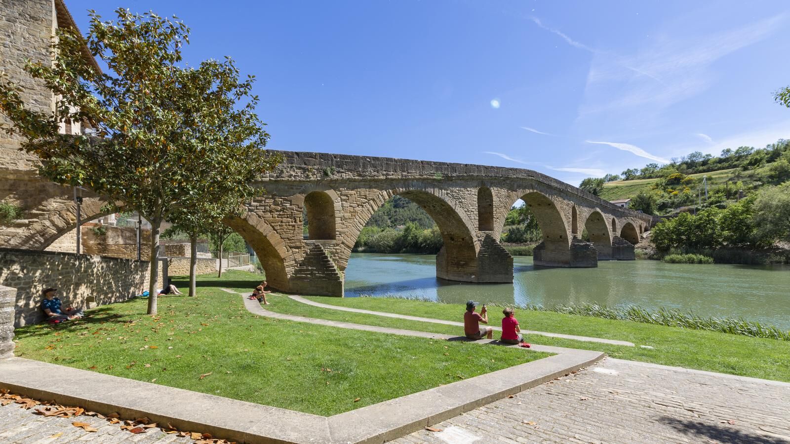
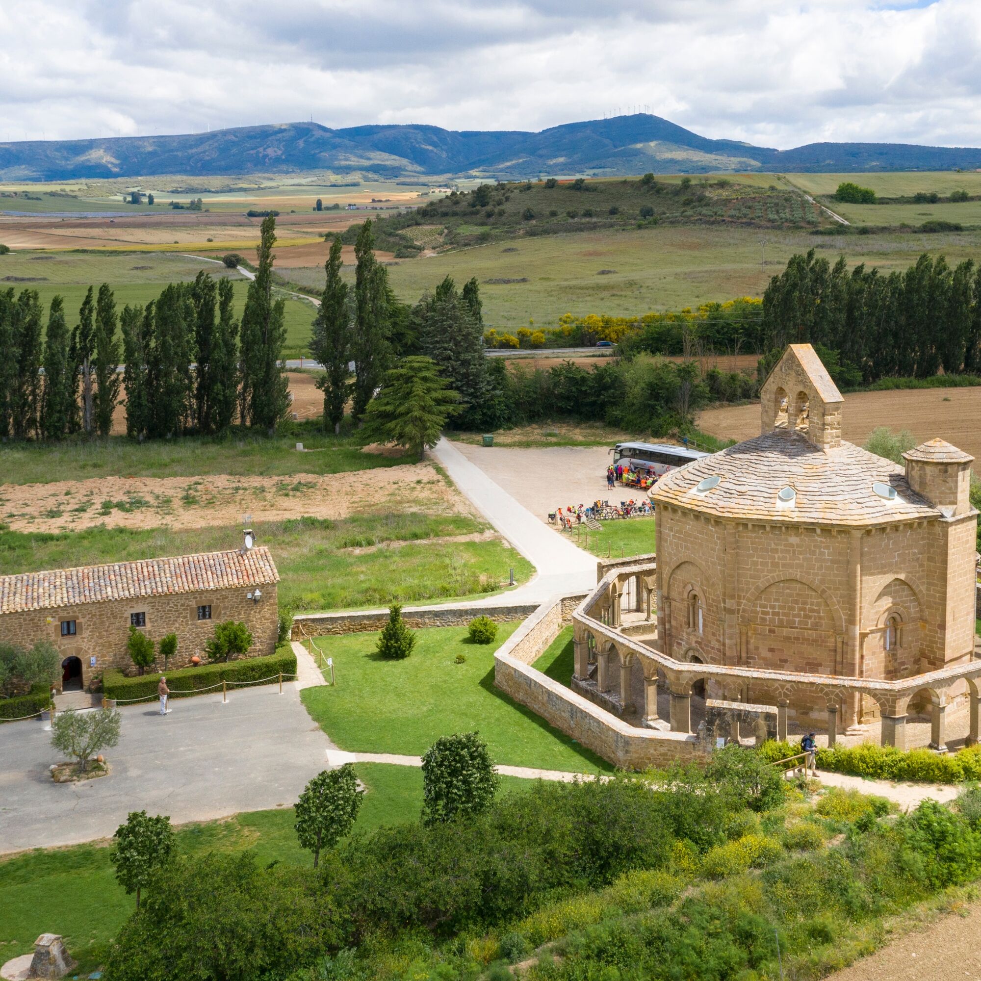
The route that we face begins in Zizur Mayor and surrounds the mountain range, starting the route along the water route. On the ascent to the top of Guirguillano, we take the detour to reach Puente la Reina, where it is well worth a pause to get to know this medieval village, a junction of Jacobean roads. We continue towards the east, bordering El Perdón on its southern side, and then we follow the beautiful Valdizarbe road, next to the enigmatic hermitage of Eunate. At the Biurrun crossroads we turn left to return to the Pamplona basin. In this section is where we will face the steepest slopes, traveling through the charming villages of this area of Navarra, which have an interesting mining past.


8 essential accessories for any bicycle route:
Helmet Gloves Air pump Multi-irrigation Spare inner tube Multitool Detachable Odometer Water bottle and something to eat3
Oblíbené prohlídky v okolí
-
Tour of Alloz na MTB - Kemp Aritzaleku Trasa 7
heavyMountainbike 33.2 km -
Battle of Valdejunquera
středníTuristika 4.63 km -
4.3
Estella-Lizarra - Iglesia Evangélica Pentecostal Nuevo Remanente - Villatuerta - Parroquia de Santiago
heavyPoutní stezka 23.2 km -
Trasa Carlism - Aritzaleku Campsite Trasa 8
heavyMountainbike 46.5 km -
Stezky Espárazu - Kemp Aritzaleku Trasa 9
heavyMountainbike 33.5 km -
Santesteban - Elgorriaga - Ituren- Zubieta. Water route
světloJízda na kole 13.8 km -
Salinas de Oro, Navarra/España
Zimní turistika 9.88 km -
Pamplona - Monte El Perdon
středníVysokohorská turistika 22.2 km -
Dolmens of Artajona
světloTuristika 1.72 km -
Artajona. Paths of the Kingdom
středníMountainbike 37.0 km
Pěší turistika a stopování


Nenechte si ujít nabídky a inspiraci pro vaši příští dovolenou
Vaše e-mailová adresa byl přidán do poštovního seznamu.





