





Santesteban - Elgorriaga - Ituren- Zubieta. Water route
Úroveň obtížnosti: 2
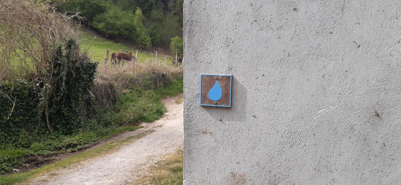
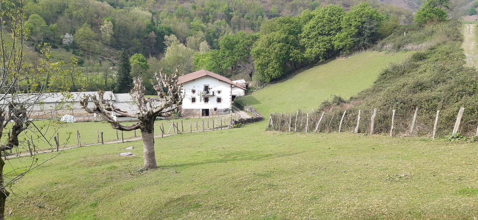
Following the course of one of them, the Ezkurra River, you can enjoy a gentle and beautiful walk along the Water Route, in a linear route that connects Zubieta and Santesteban, crossing Ituren and Elgorriaga.
...Following the course of one of them, the Ezkurra River, you can enjoy a gentle and beautiful walk along the Water Route, in a linear route that connects Zubieta and Santesteban, crossing Ituren and Elgorriaga.
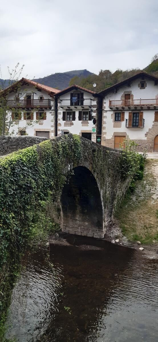
If we begin the walk in Zubieta we will have to go towards the neighboring town, Ituren, by the same way that the joaldunak travel to announce the arrival of the carnival with their noisy cowbells. Along the way we will find old washing places and different bathing areas. In the next village, Elgorriaga, you can opt for a thermal bath in the spa that collects the mineral-medicinal spring waters.
The route ends, or begins, if we do it in reverse in Santesteban, where the Ezkurra joins another stream and a little further on the Baztan, adopting the name of Bidasoa river. Santesteban, head of the region, has a variety of services to meet the needs of the cyclist.


Ano
Ano
8 essential accessories for any bicycle route:
Helmet Gloves Air pump Multi-irrigation Spare inner tube Multitool Detachable Odometer Water bottle and something to eat2
Oblíbené prohlídky v okolí
Arga River Walk
středníTuristika 7.58 kmBattle of Valdejunquera
středníTuristika 4.63 kmBalcony of the Vultures
středníTuristika 5.19 kmÚdolí Ollo a San Miguel de Aralar - kemp Aralar Trasa 3
heavySilniční kolo 112.9 kmOkolí Etxauri - Camping Aritzaleku Trasa 3
heavySilniční kolo 103.0 kmProhlídka pohoří Sierra de Andía - kemp Arbizu Trasa 3
heavySilniční kolo 104.0 kmStezky Espárazu - Kemp Aritzaleku Trasa 9
heavyMountainbike 33.5 kmZizur Mayor. Water Route
heavySilniční kolo 103.7 kmIrurtzungo autokarabana gunea, Iturrizar
Turistika 8.52 kmSalinas de Oro, Navarra/España
Zimní turistika 9.88 km
Pěší turistika a stopování


Nenechte si ujít nabídky a inspiraci pro vaši příští dovolenou
Vaše e-mailová adresa byl přidán do poštovního seznamu.





