


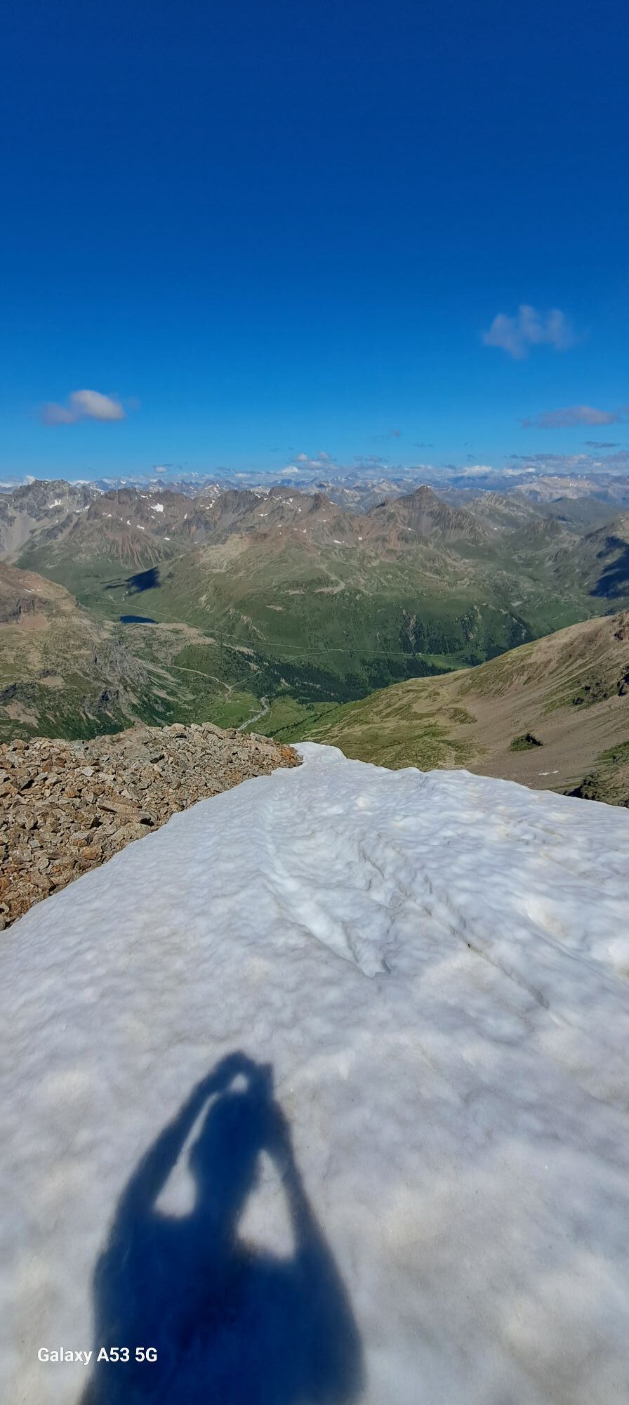
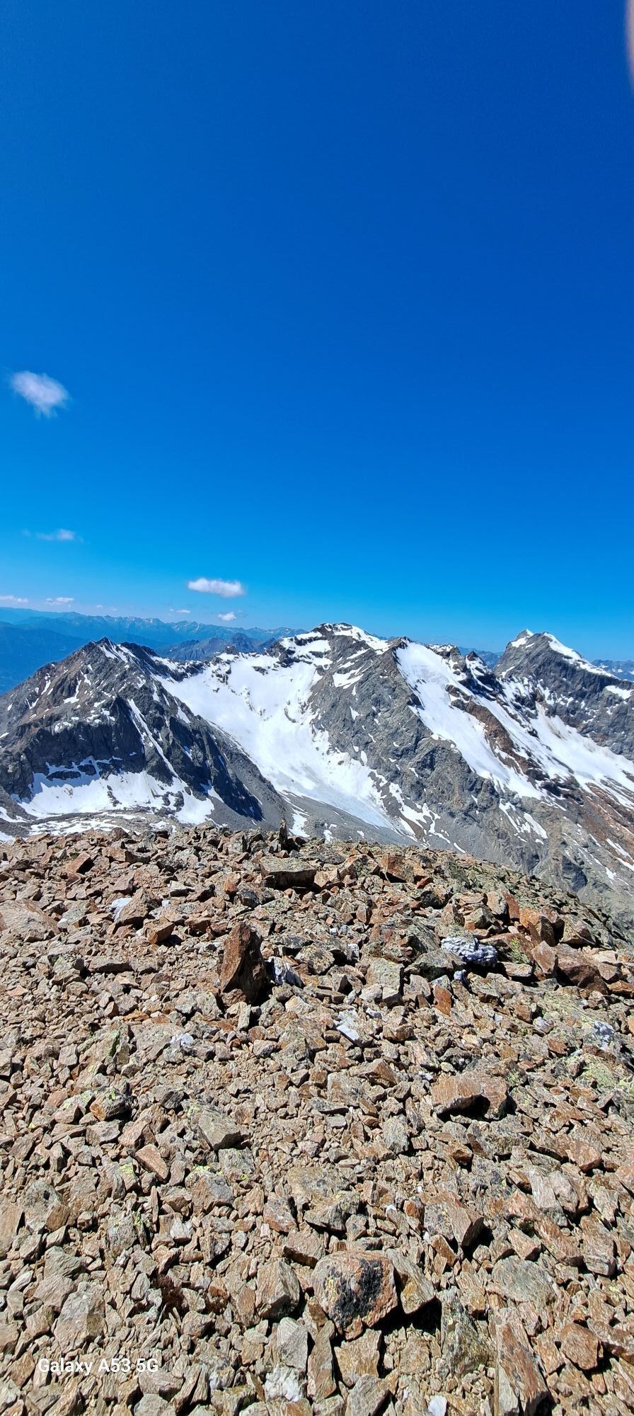
Dosde' Peak
Fotografie našich uživatelů
-

 © Andrea InserraVytvořeno dne 05.10.2025
 -
 © Andrea InserraVytvořeno dne 05.10.2025
 -
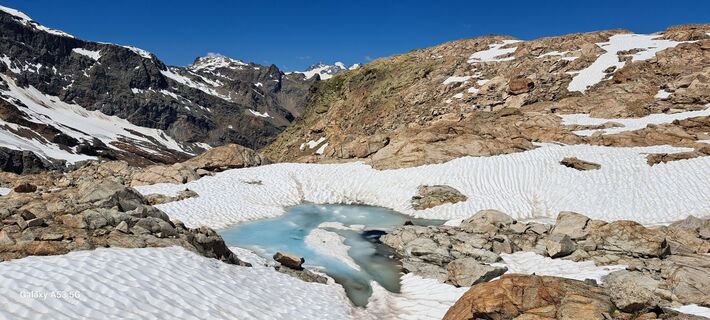
 © Marcoluca PudduVytvořeno dne 16.08.2025
 -
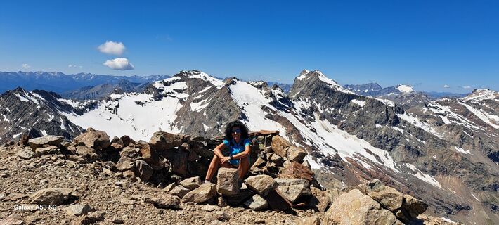
 © Maurizio Dell'acquaVytvořeno dne 09.08.2025
 -
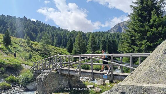
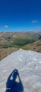
 © Gio58Vytvořeno dne 19.07.2025
 -
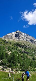
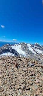
 © Gio58Vytvořeno dne 19.07.2025
 -
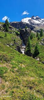
 © Amanda BelleriVytvořeno dne 28.06.2025
 -
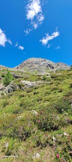
 © Amanda BelleriVytvořeno dne 28.06.2025
 -
 © Amanda BelleriVytvořeno dne 28.06.2025
 -
 © Amanda BelleriVytvořeno dne 28.06.2025
 -
 © Amanda BelleriVytvořeno dne 28.06.2025
 -
 © Amanda BelleriVytvořeno dne 28.06.2025
 -
 © Amanda BelleriVytvořeno dne 28.06.2025


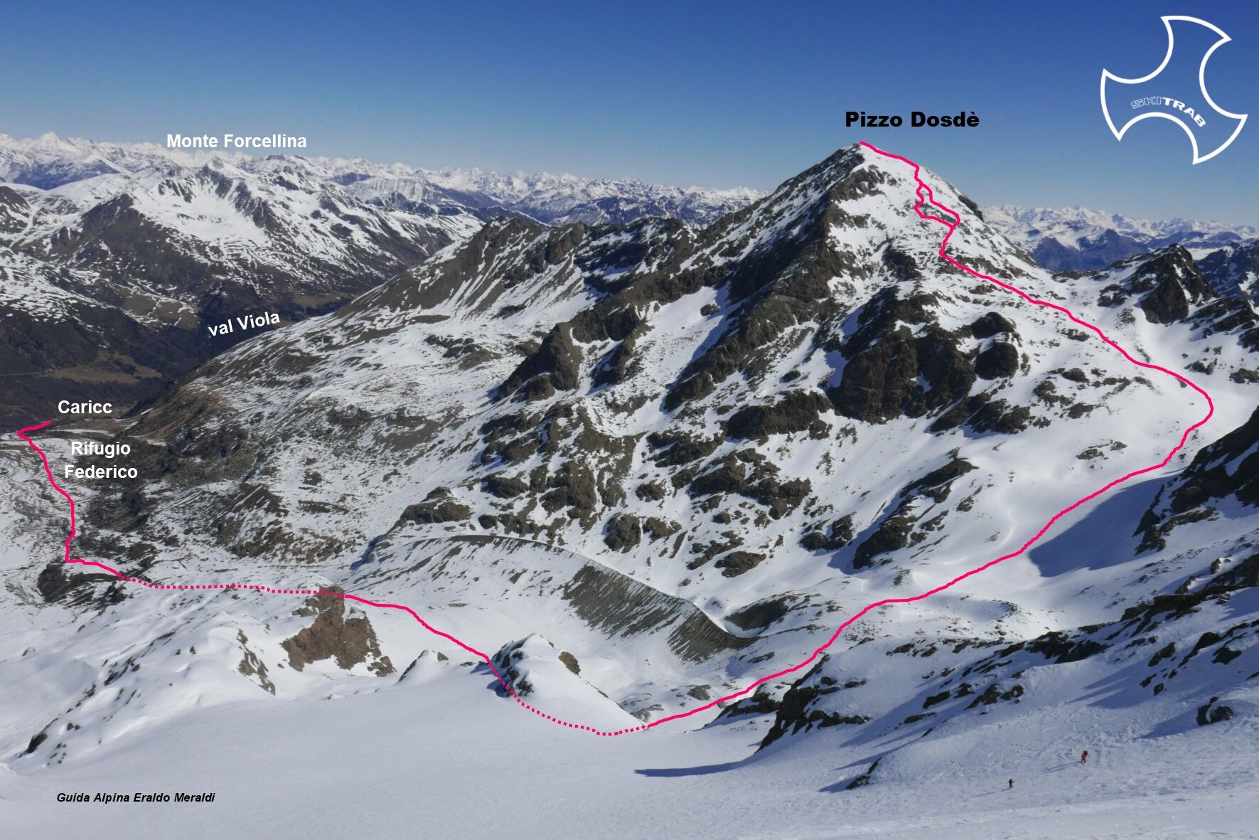
From Arnoga, follow the road that enters Val Viola passing the Dosso, Permogli, and alpe Campo huts and just before the Altumeira summer parking lot descend to Baita Caricc; either just before or just...
From Arnoga, follow the road that enters Val Viola passing the Dosso, Permogli, and alpe Campo huts and just before the Altumeira summer parking lot descend to Baita Caricc; either just before or just after the hut, cross to the opposite slope via a small bridge and climb to the Dosde' plain. Passing in the vicinity of the Federico refuge in Dosde', continue on the plain staying to the left of the Viola stream and just before an obvious cliff follow a small valley that allows you to reach a plateau. Continue keeping more or less to the center of the impluvium arriving on the Dosde' vedretta. One climbs up the right side and gradually takes one, where a falsopiano begins, to the left following a small valley that leads to a steep slope to be overcome to the left; passing now under the basal slopes of the Sassi Rossi one continues in a semicircle taking one to the southern slopes of Pizzo Dosde'; staying more or less in the center of the slope one climbs and shortly reaches the summit.
Mount, Campacciolo, Lake Campaccio, Dosso Filetto.
Self-rescue equipment (ARTVA, shovel and probe), Rampant.
The route description and trail are approximate and should be verified on site depending on the condition of the snowpack present during the hike.
Because this is a hike in a snowy mountain environment at high altitudes subject to continually changing snowpack conditions, it is advisable to have adequate experience in ski mountaineering, knowledge of the area, and up-to-date information on snow conditions.
Accompaniment with a professional guide is recommended.
At the hairpin bend descend to the left.
The route description and trail are approximate and should be verified on site depending on the condition of the snowpack present during the hike.
Because this is a hike in a snowy mountain environment at high altitudes subject to continually changing snowpack conditions, it is advisable to have adequate experience in ski mountaineering, knowledge of the area, and up-to-date information on snow conditions.
Accompaniment with a professional guide is recommended.

Oblíbené prohlídky v okolí
-
5.0
Mountain hike to Lagh da Saoseo
heavyTuristika 15.0 km -
5.0
Ospizio Bernina Station - Alp Grüm (-Cavaglia)
světloTuristika 4.97 km -
5.0
Crap da la Pare' with Joëlette
světloTuristika 4.58 km -
5.0
Lago Bianco
Turistika 7.91 km -
5.0
Cascate della val nera
světloTuristika 5.70 km -
4.5
Da Sfazù a lago Saoseo
světloTuristika 11.0 km -
5.0
53 Bernina Tour Switzerland: Stage 1 Poschiavo-Bernina Pass
středníTuristika 14.6 km -
Mount of Mines
středníLyžařská trasa 4.78 km -
Val da Camp (724)
středníTuristika 5.33 km -
33.08 Ospizio Bernina - Cavaglia, Via Albula / Bernina
středníTuristika 9.39 km
Pěší turistika a stopování


Nenechte si ujít nabídky a inspiraci pro vaši příští dovolenou
Vaše e-mailová adresa byl přidán do poštovního seznamu.