


33.08 Ospizio Bernina - Cavaglia, Via Albula / Bernina
Fotografie našich uživatelů
-

 © Thomi WVytvořeno dne 06.11.2025
 -
 © Thomi WVytvořeno dne 06.11.2025
 -
 © Thomi WVytvořeno dne 06.11.2025
 -
 © Thomi WVytvořeno dne 06.11.2025
 -
 © Thomi WVytvořeno dne 06.11.2025
 -
 © Thomi WVytvořeno dne 06.11.2025
 -
 © Thomi WVytvořeno dne 06.11.2025
 -
 © Thomi WVytvořeno dne 06.11.2025
 -
 © Christian PhilippiVytvořeno dne 19.10.2022
 -
 © Christian PhilippiVytvořeno dne 19.10.2022

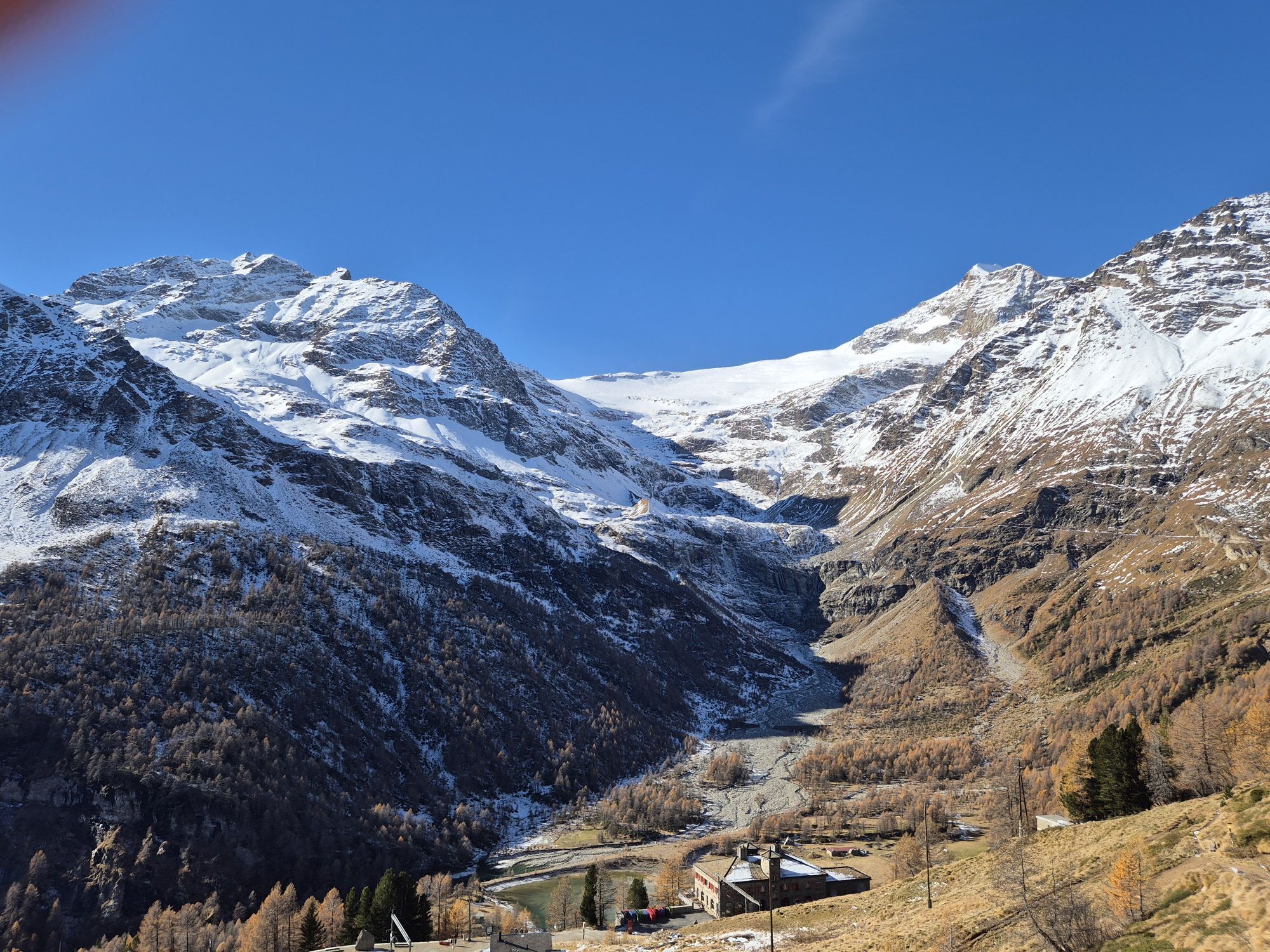


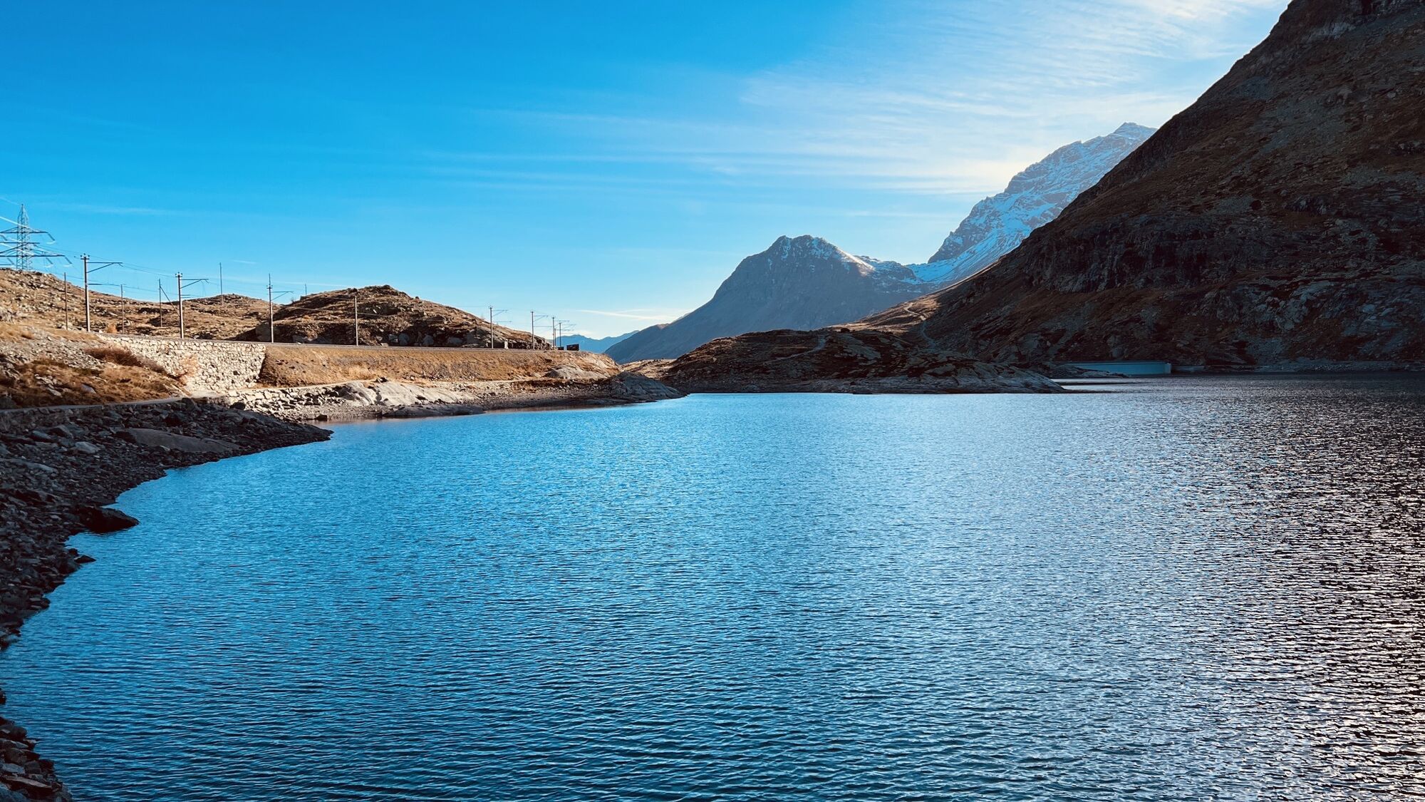
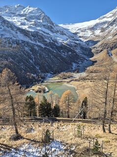
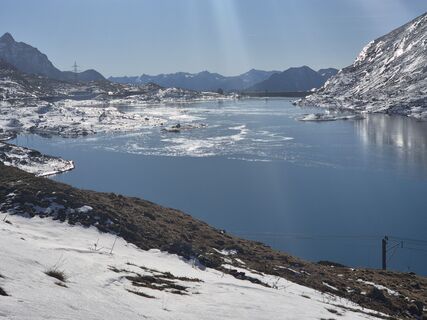
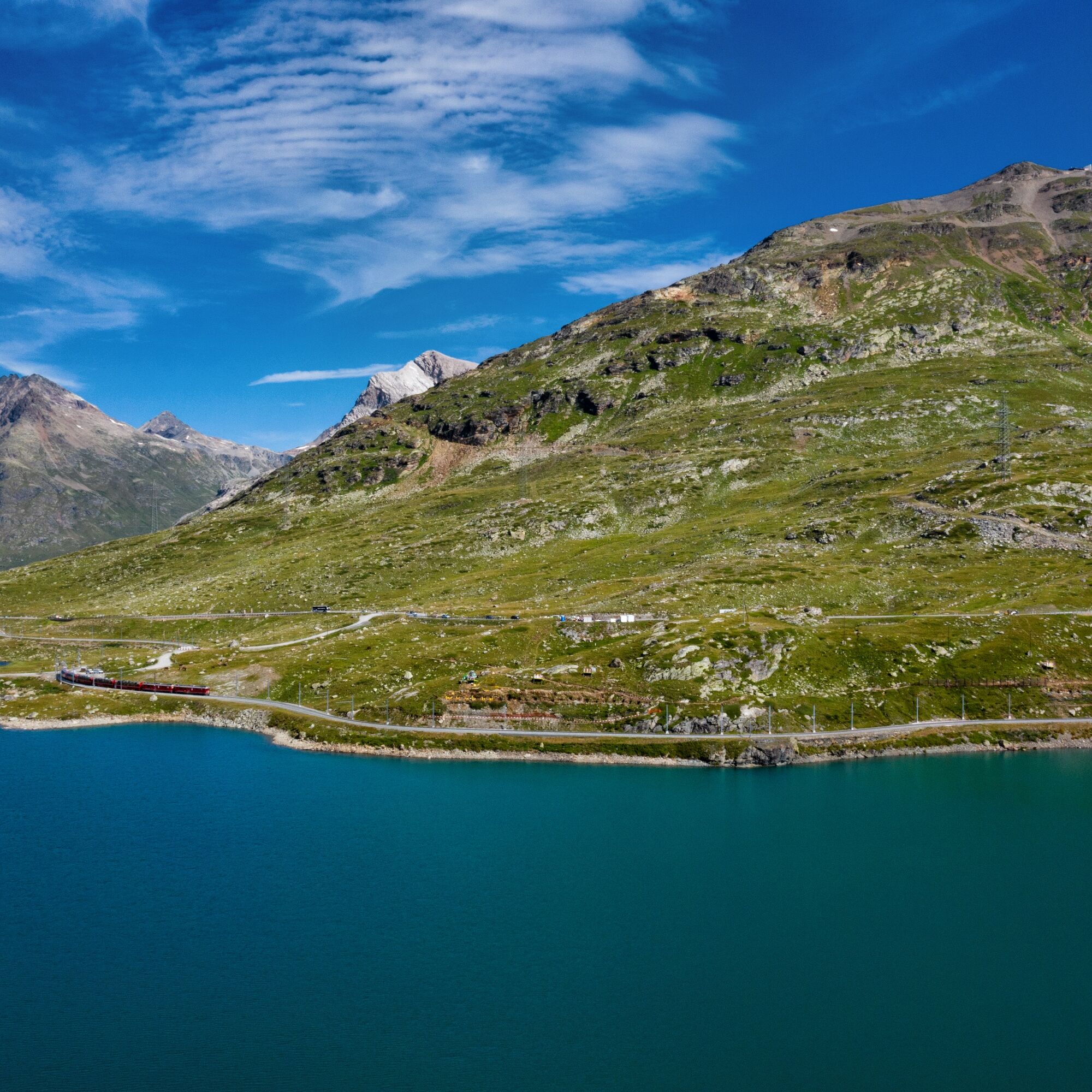
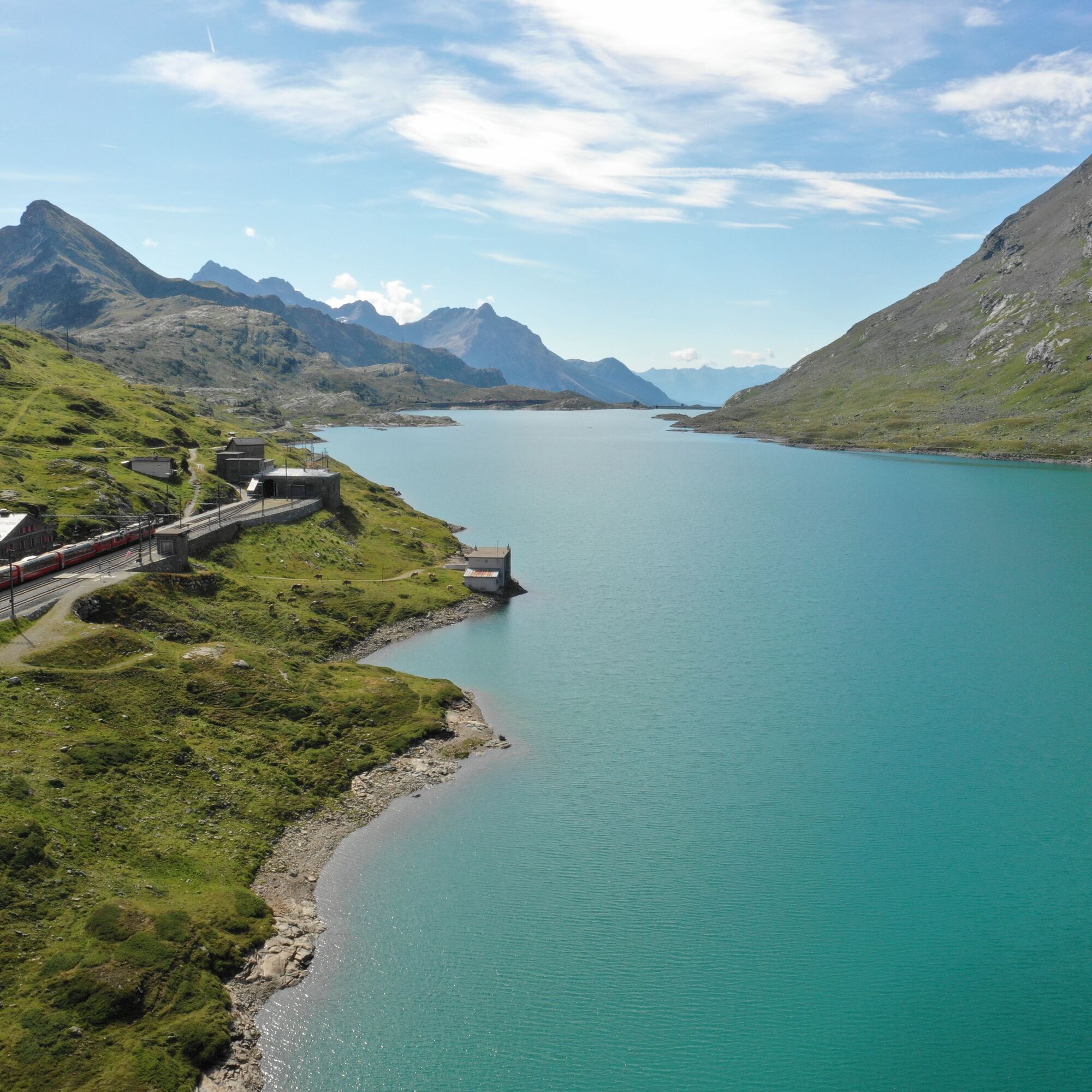
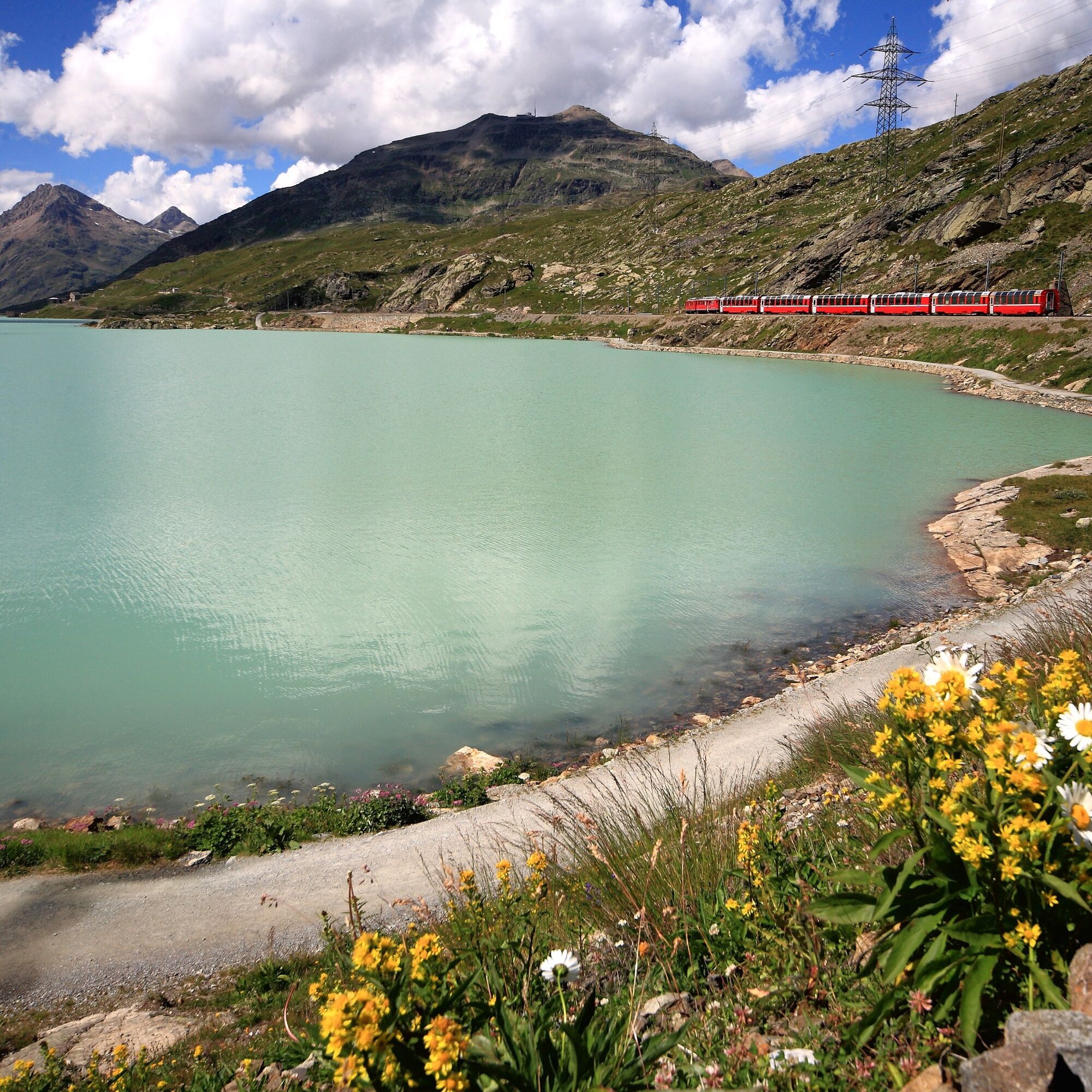
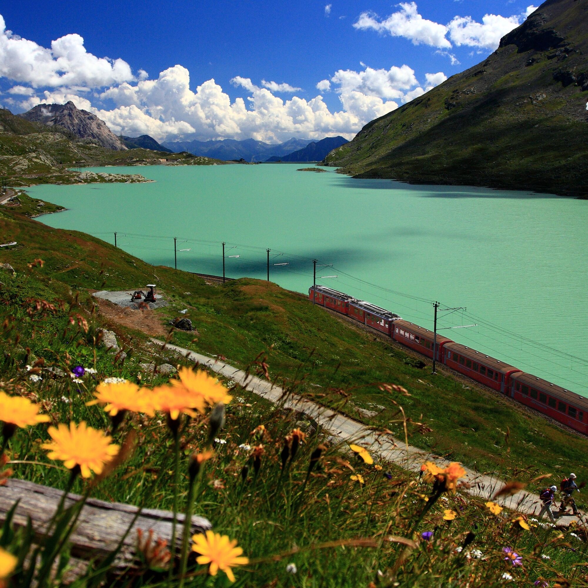
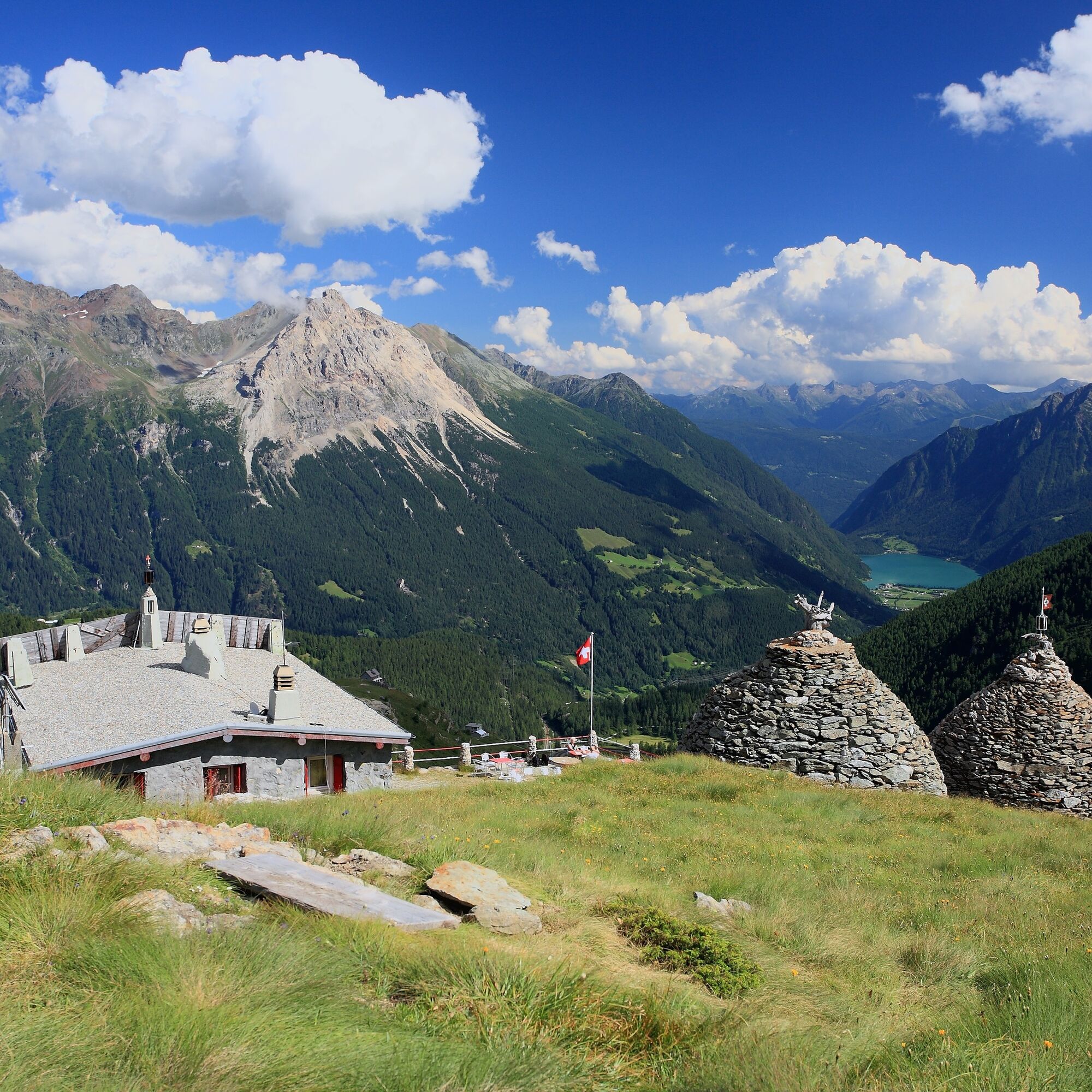
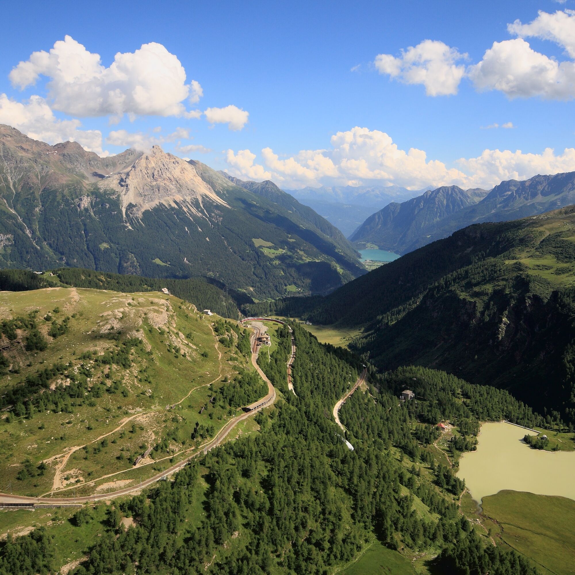
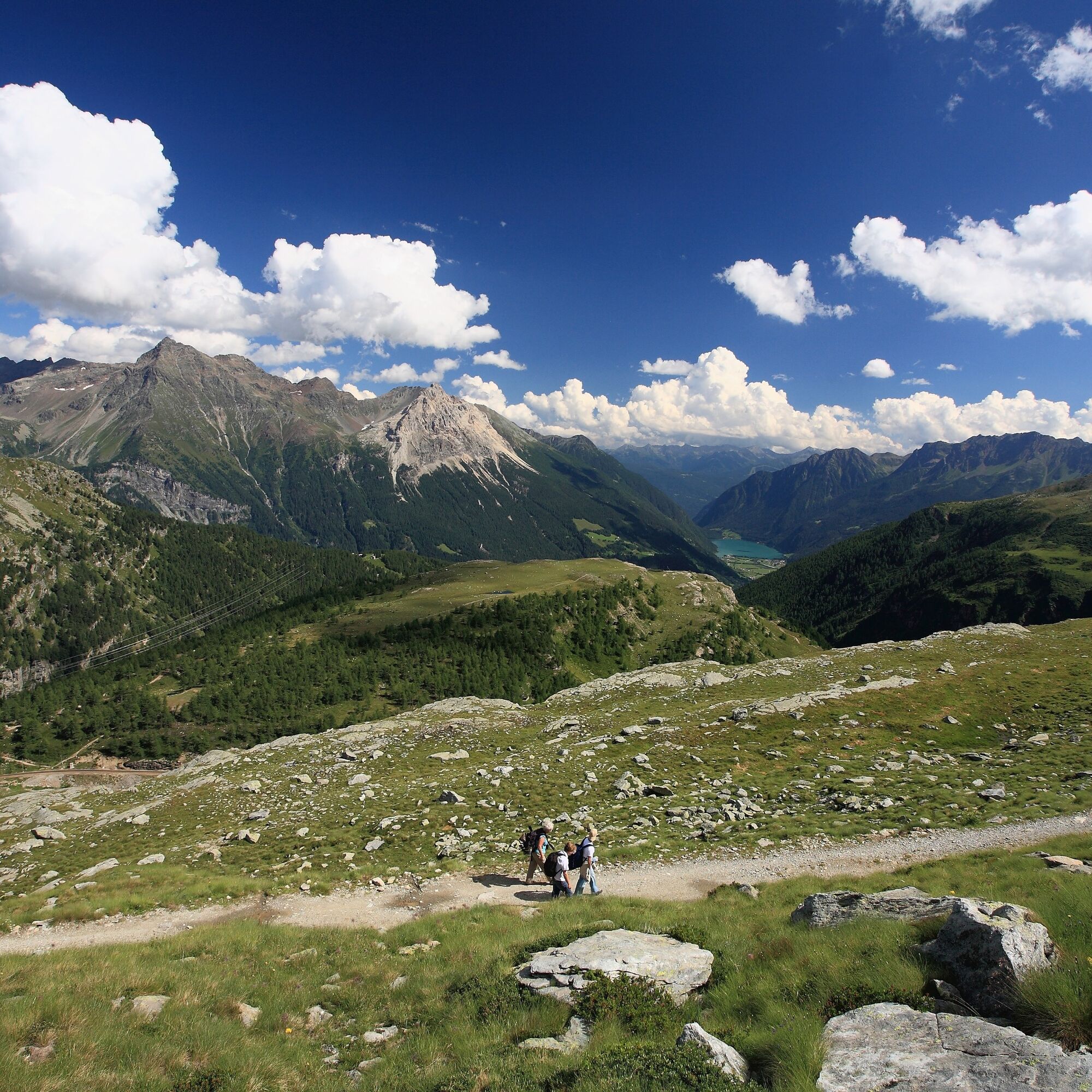
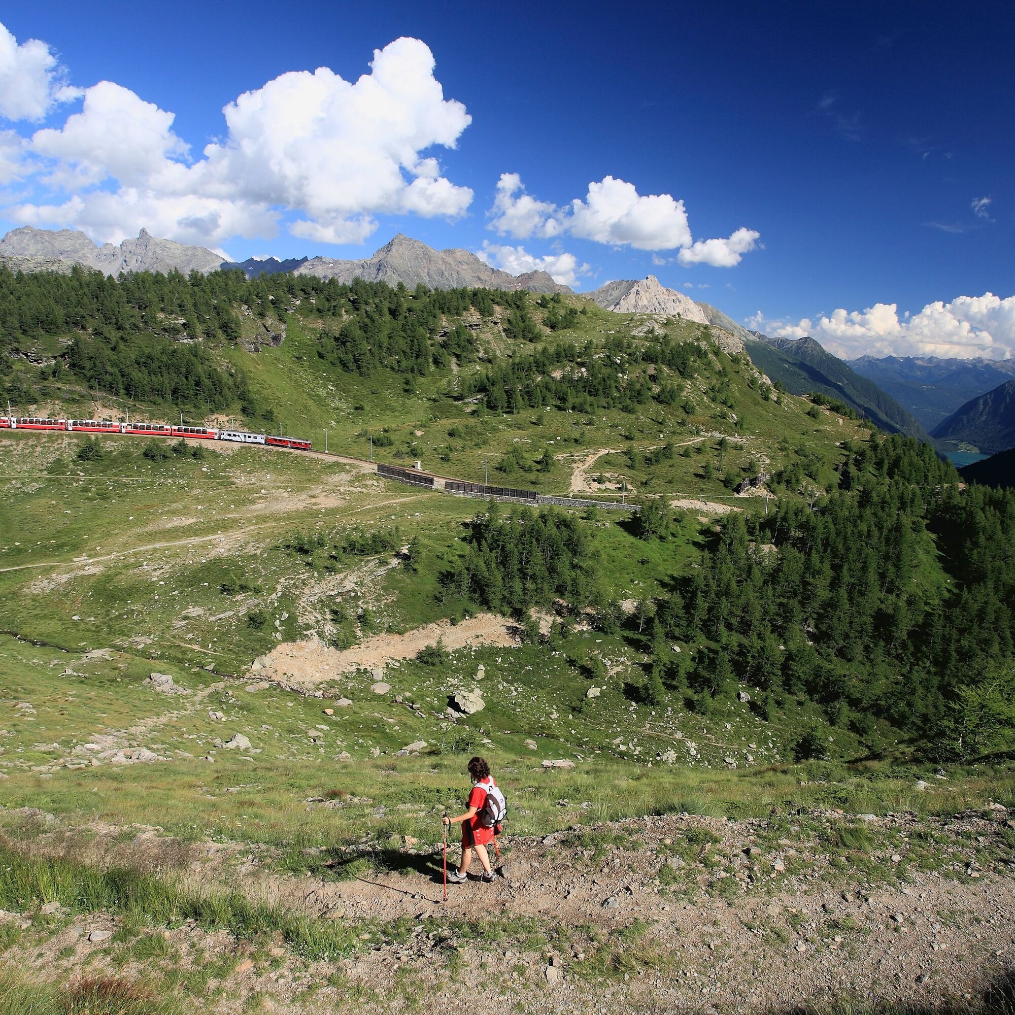
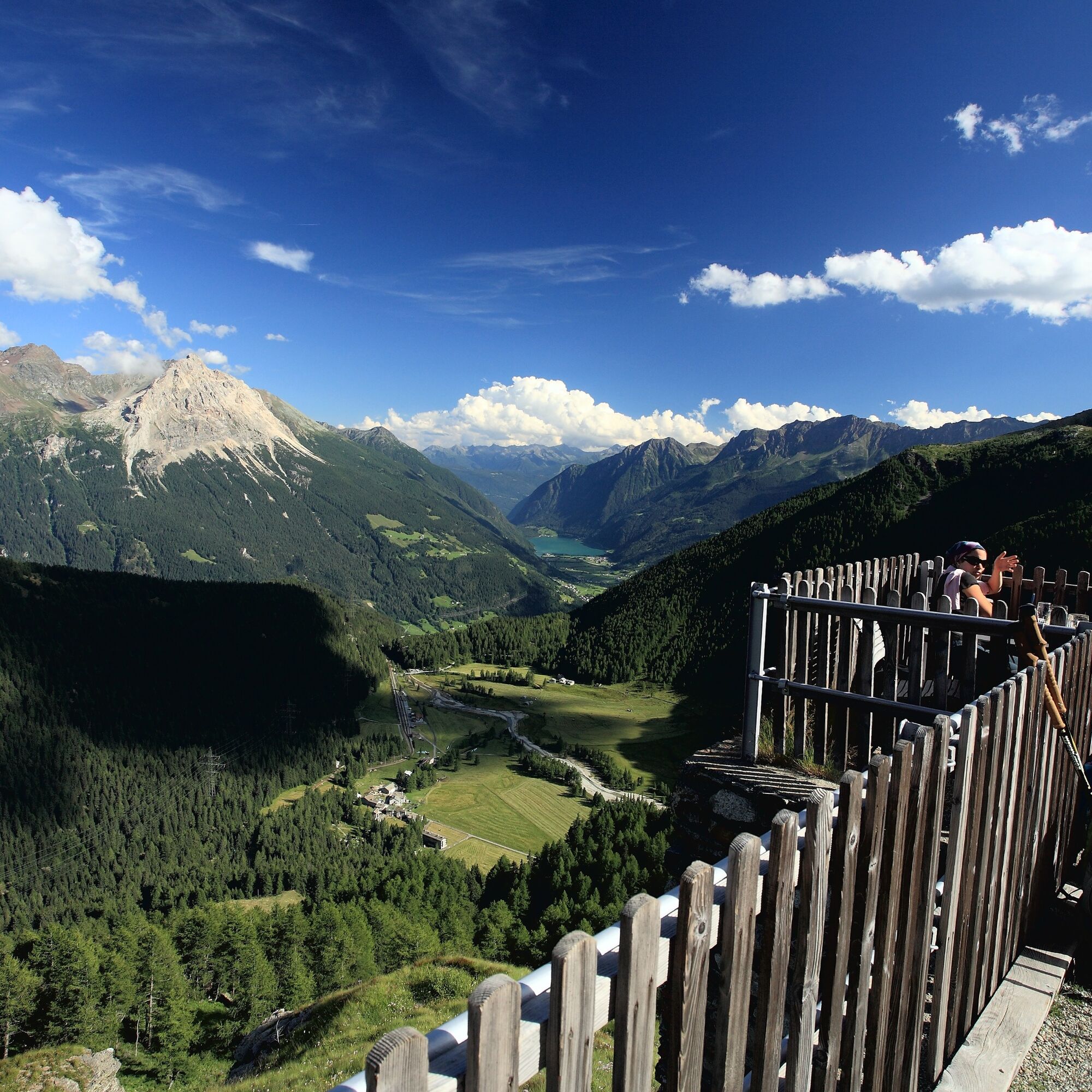
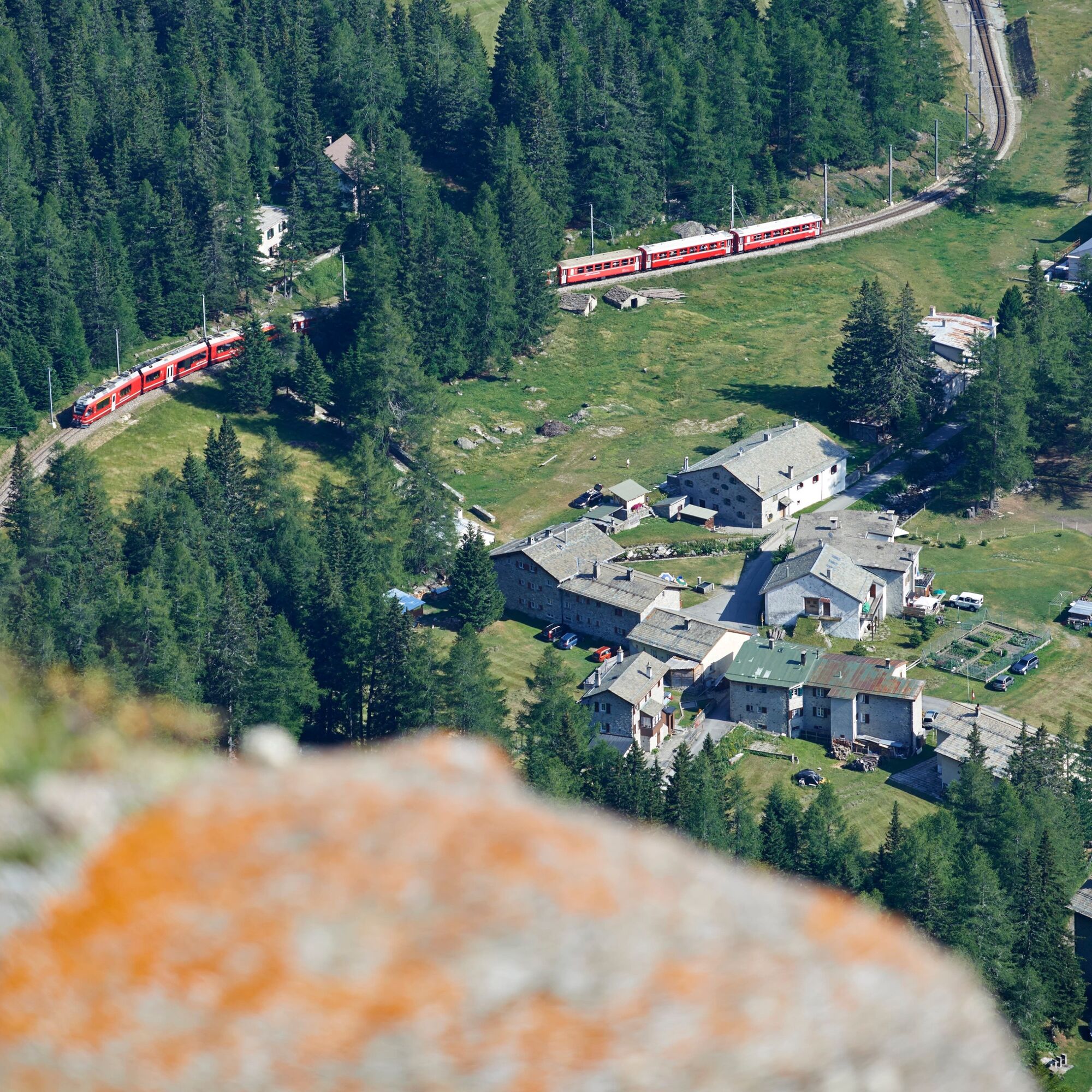
The path offers fantastic views of mountains and glaciers, into the deep incision of the Valposchiavo and the Bergamasque Alps behind in Italy. The railway winds through many hairpin bends to overcome...
The path offers fantastic views of mountains and glaciers, into the deep incision of the Valposchiavo and the Bergamasque Alps behind in Italy. The railway winds through many hairpin bends to overcome the altitude difference: an impressive sight!
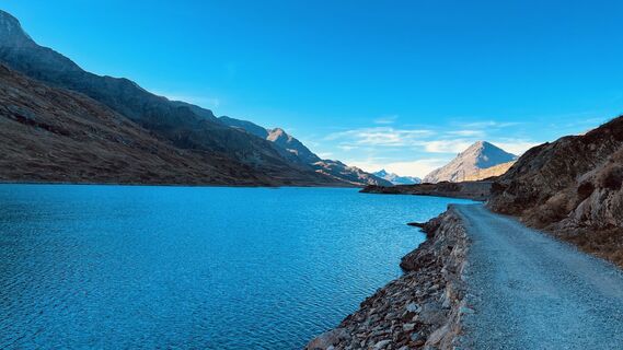
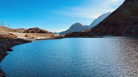
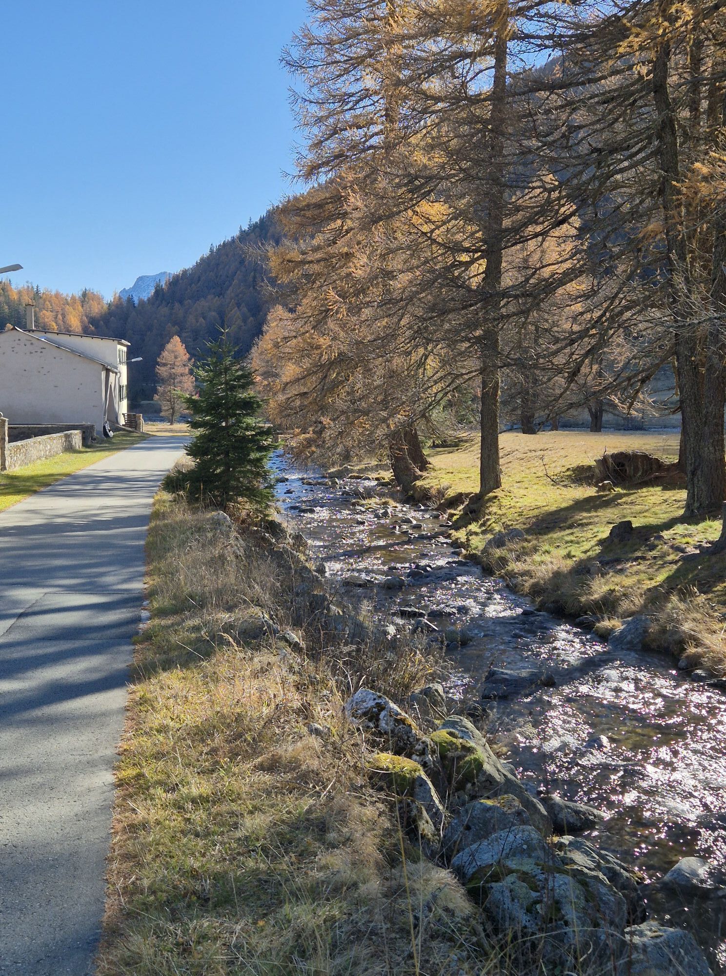
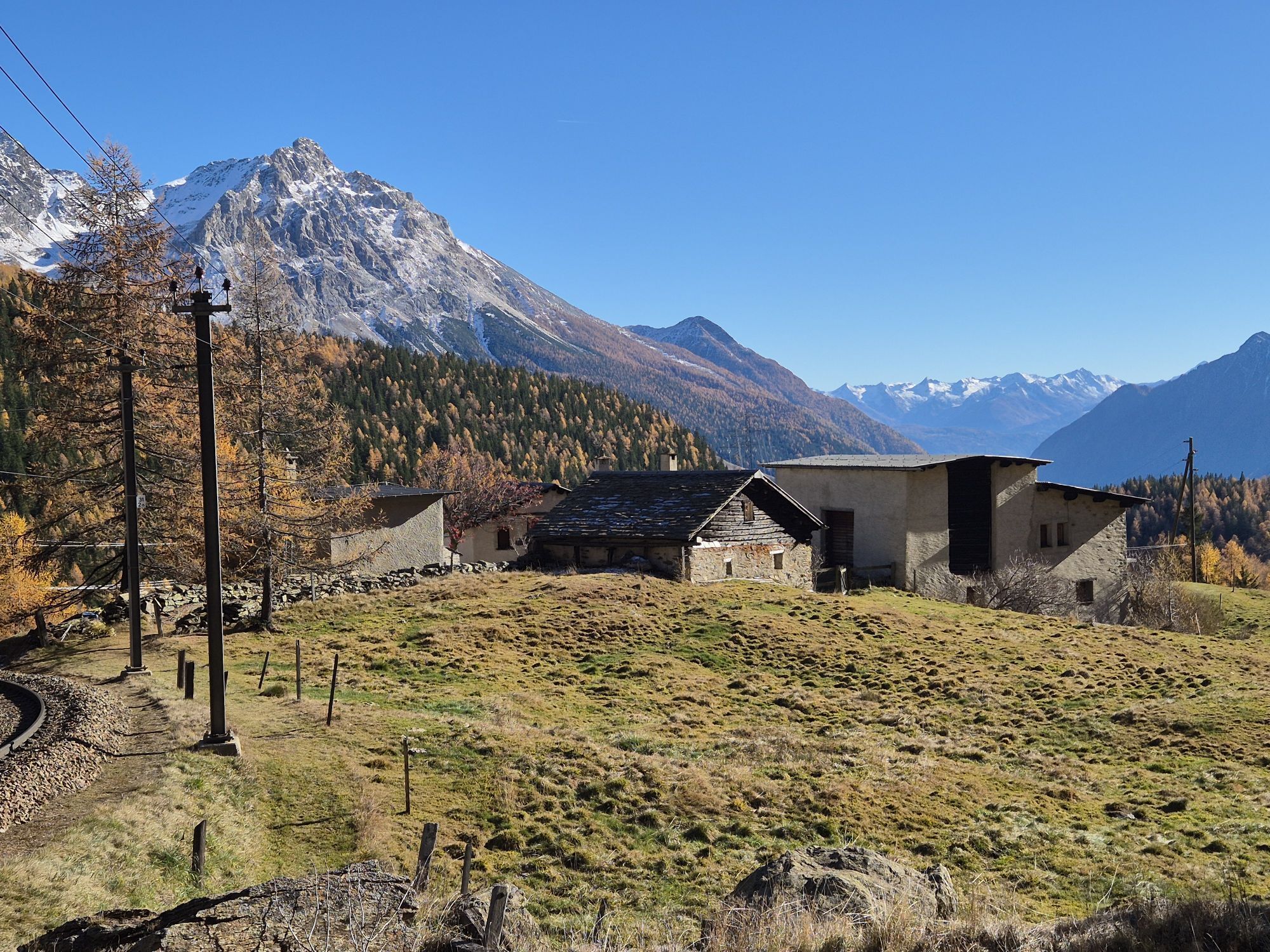
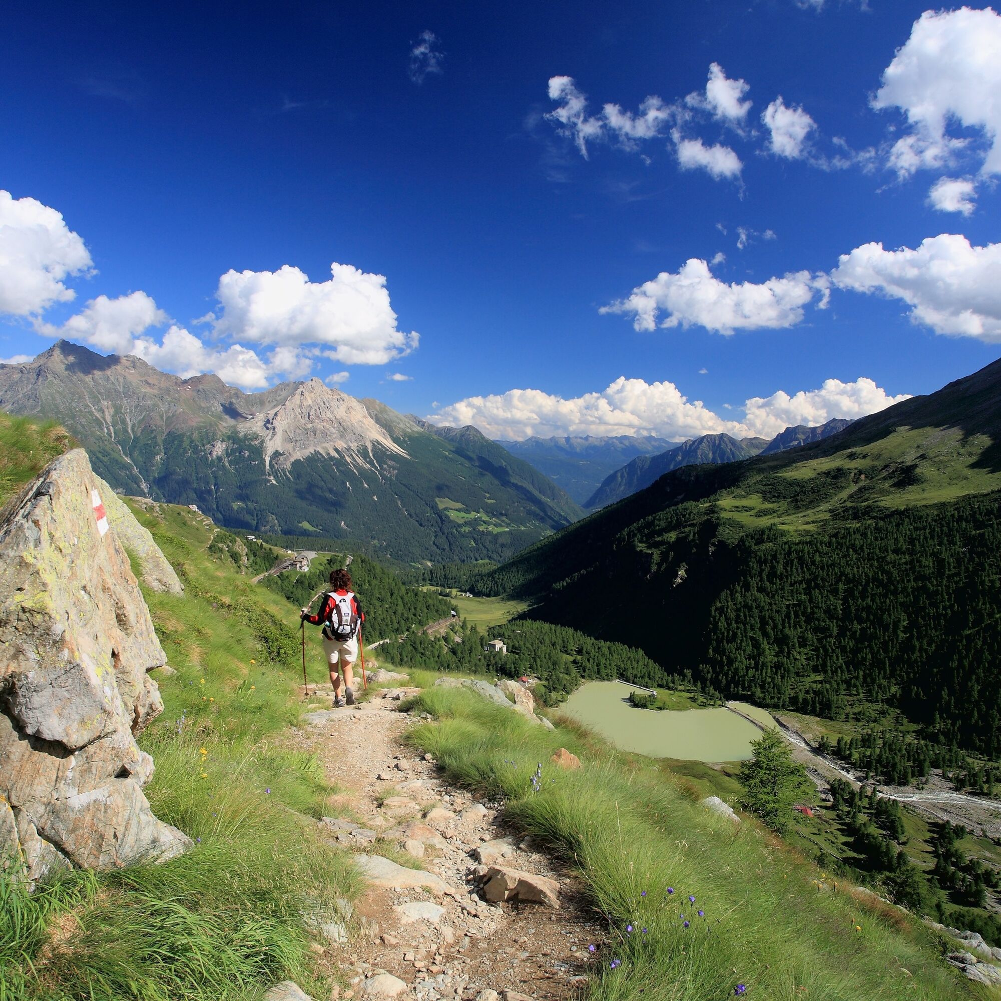
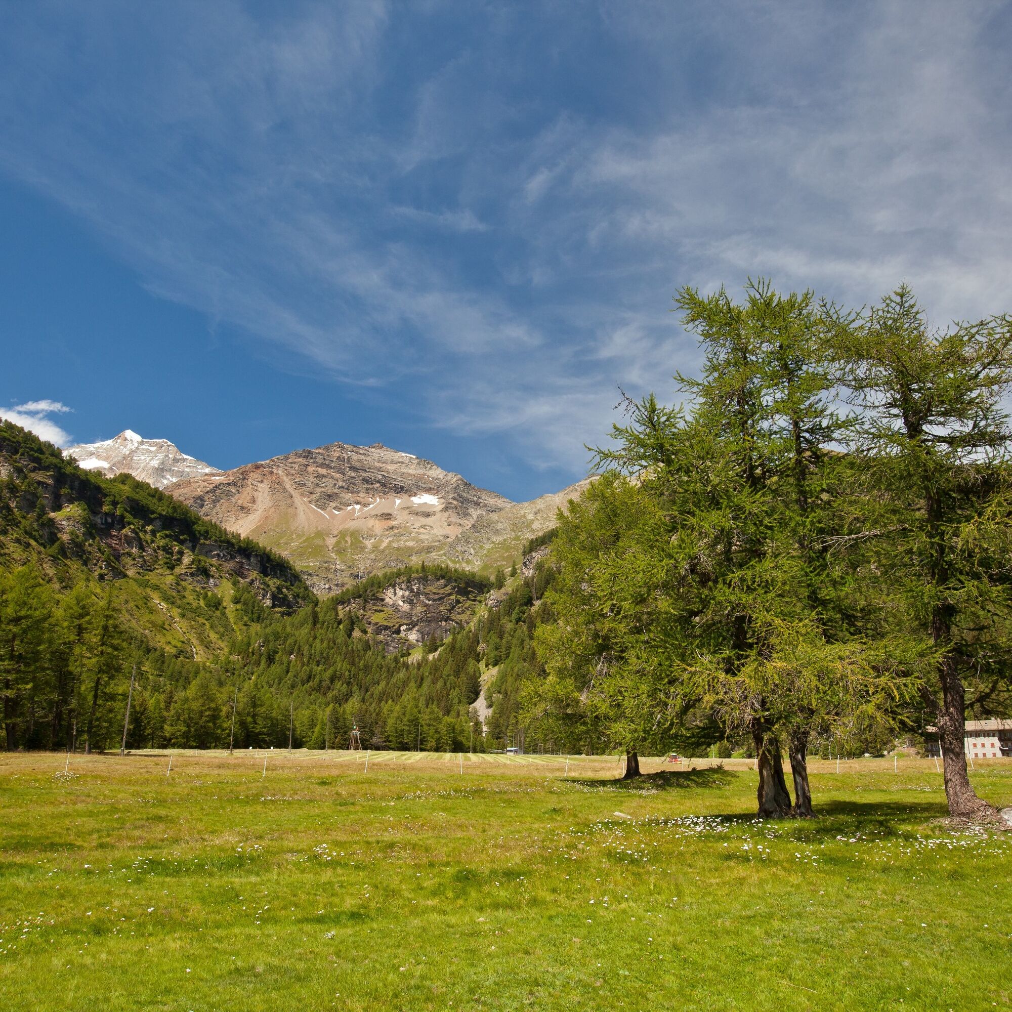
From the high valley Cavaglia, which developed into a village with a school, shop, and restaurant for a few decades due to the railway and power plant construction, you descend over the countless, well-preserved alpine pastures surrounded by forest and hedges down to Poschiavo, the main town of the valley.
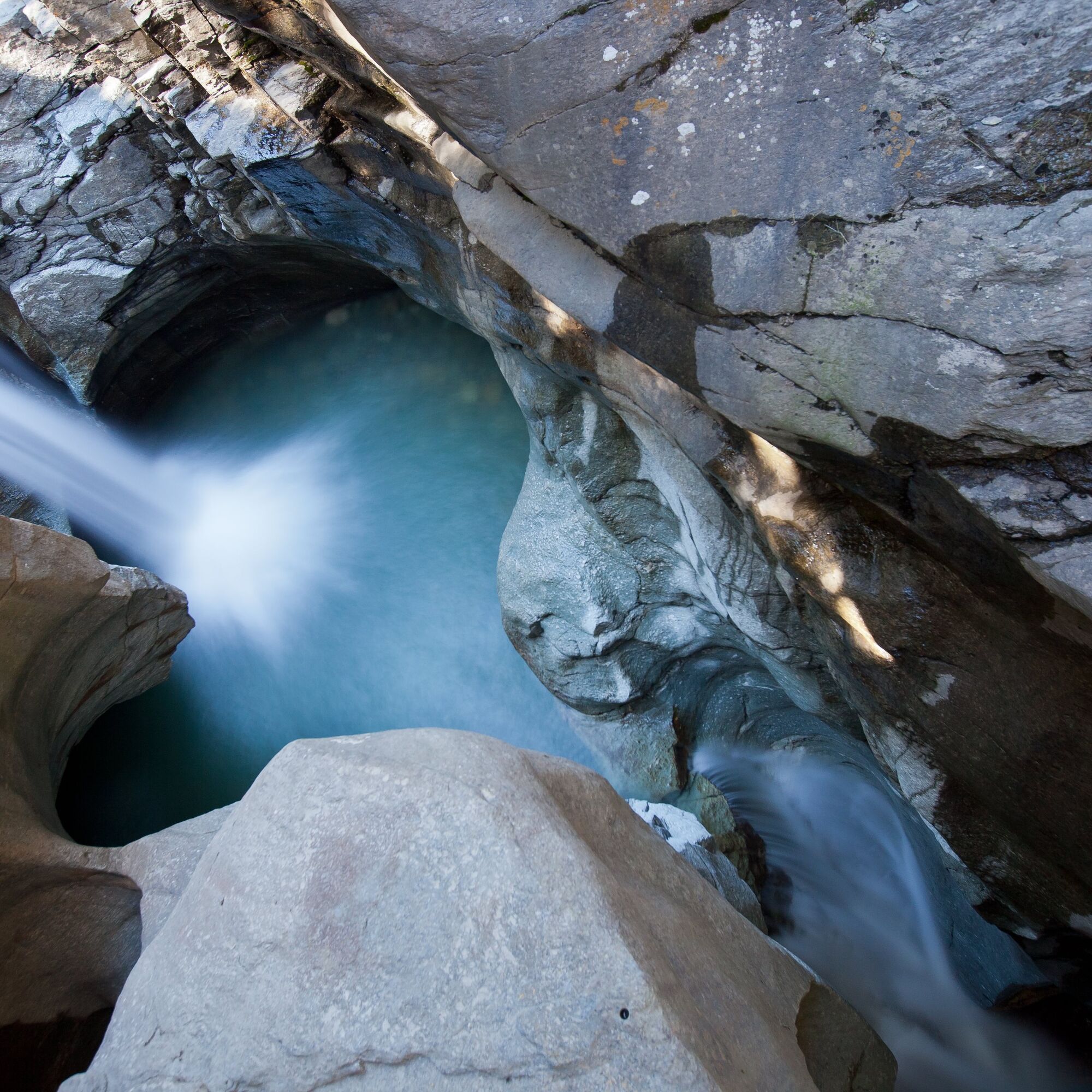
A detour to the accessible glacier mills of Cavaglia is definitely worth it. The stones set into rotation by the strong currents of prehistoric glacier water have ground the glacier mills into the rocks and shaped them into smooth hollows and breakthroughs.
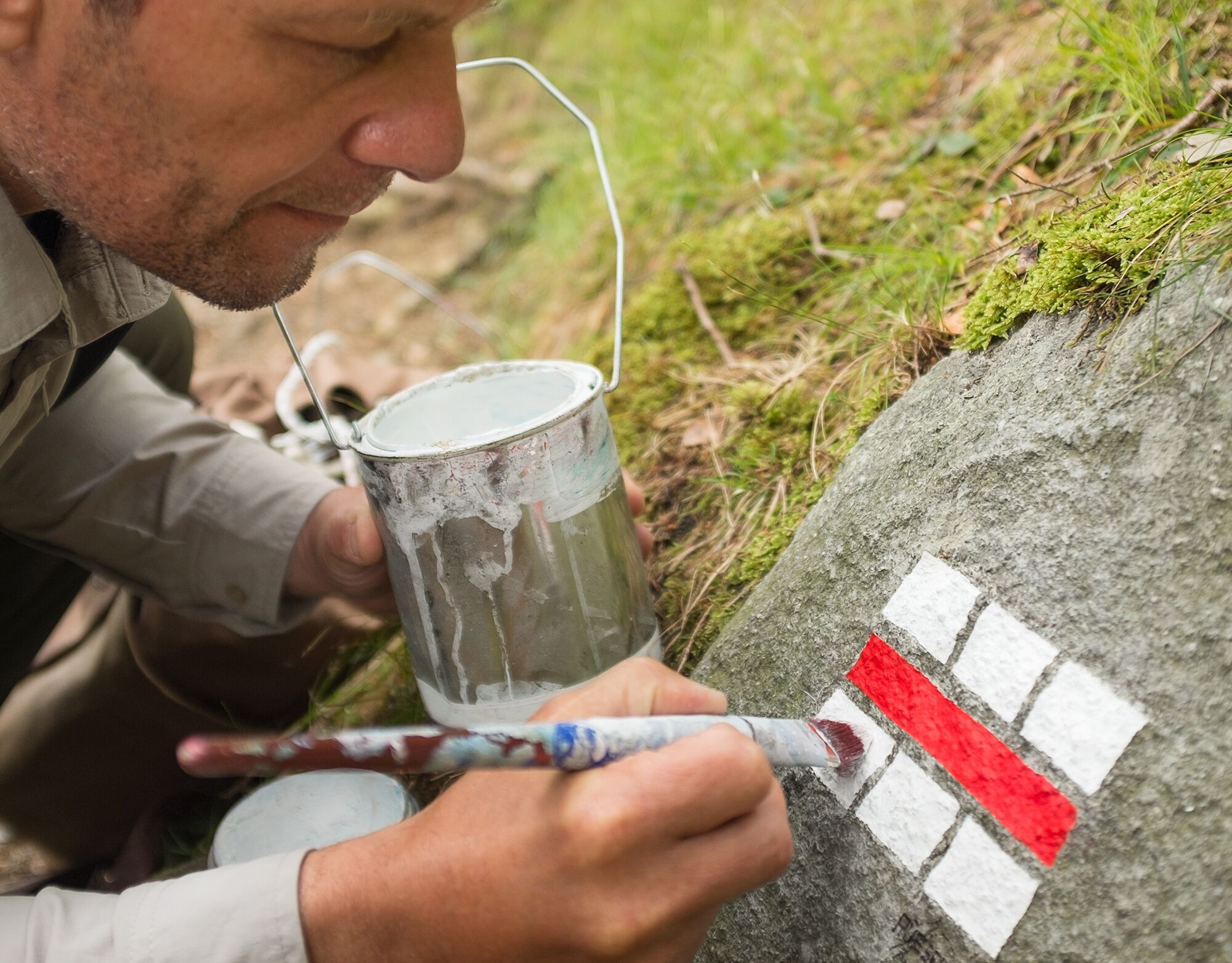
Newly designed hiking trail markings
Everyone knows them: the white-red-white hiking trail markings guiding hikers. On this route, five of these signs have looked a bit different since September 2017. The artist Stefan Rüesch applied his hand, or rather brush, to do justice to the beauty of nature. In the motto: Every spot a masterpiece.
Click above on the map and find the exact location of the newly designed hiking trail markings.
Ano
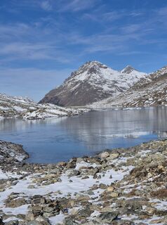
Attention: On high sections, snowfields are possible until the summer months
Rhaetian Railway
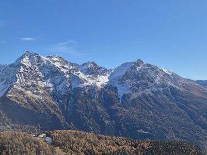
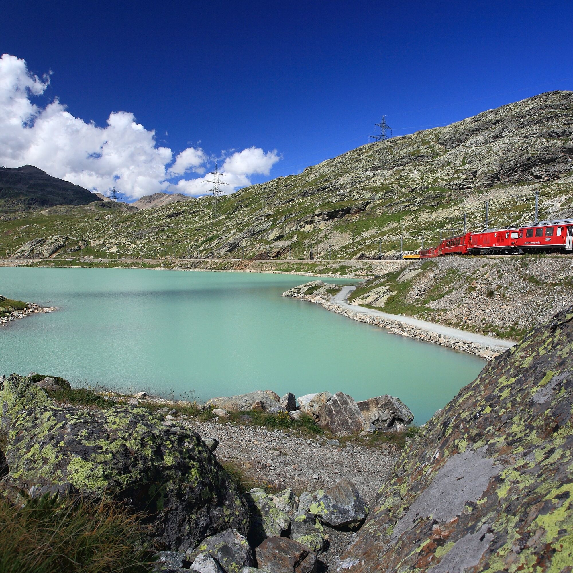
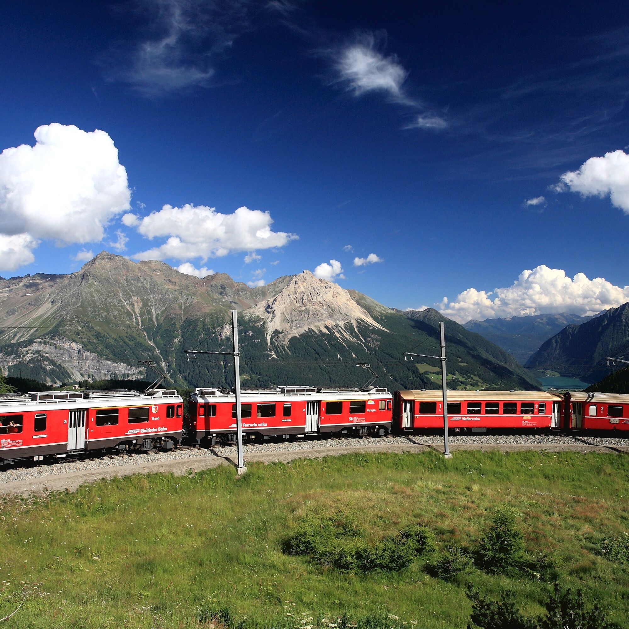
It started operating over 100 years ago: the Bernina line. In 1910, direct train service between St. Moritz and Tirano began. 61 kilometers of highest engineering against the backdrop of the highest Graubünden mountain. This special high enjoyment, which passes the enormous Palü and Morteratsch glaciers, uniting southern joie de vivre and alpine beauty, can be experienced daily on the Bernina Express. But sometimes you catch your breath at the exposed curves and the overwhelming mountain panorama.
Rail travel center
CH-7742 Poschiavo
T +41 81 288 54 54
Timetable: www.sbb.ch
Booking office:
Eurotrek AG
Tel: +41 (0)44 316 10 00
eurotrek@eurotrek.ch
http://www.rhb.ch/via
For summit seekers: the Graubünden Hiking App
Thanks to the new hiking app, more than 370 routes are available for all levels. And for those who (still) don't recognize every summit on the horizon, the integrated peakfinder in the app helps.
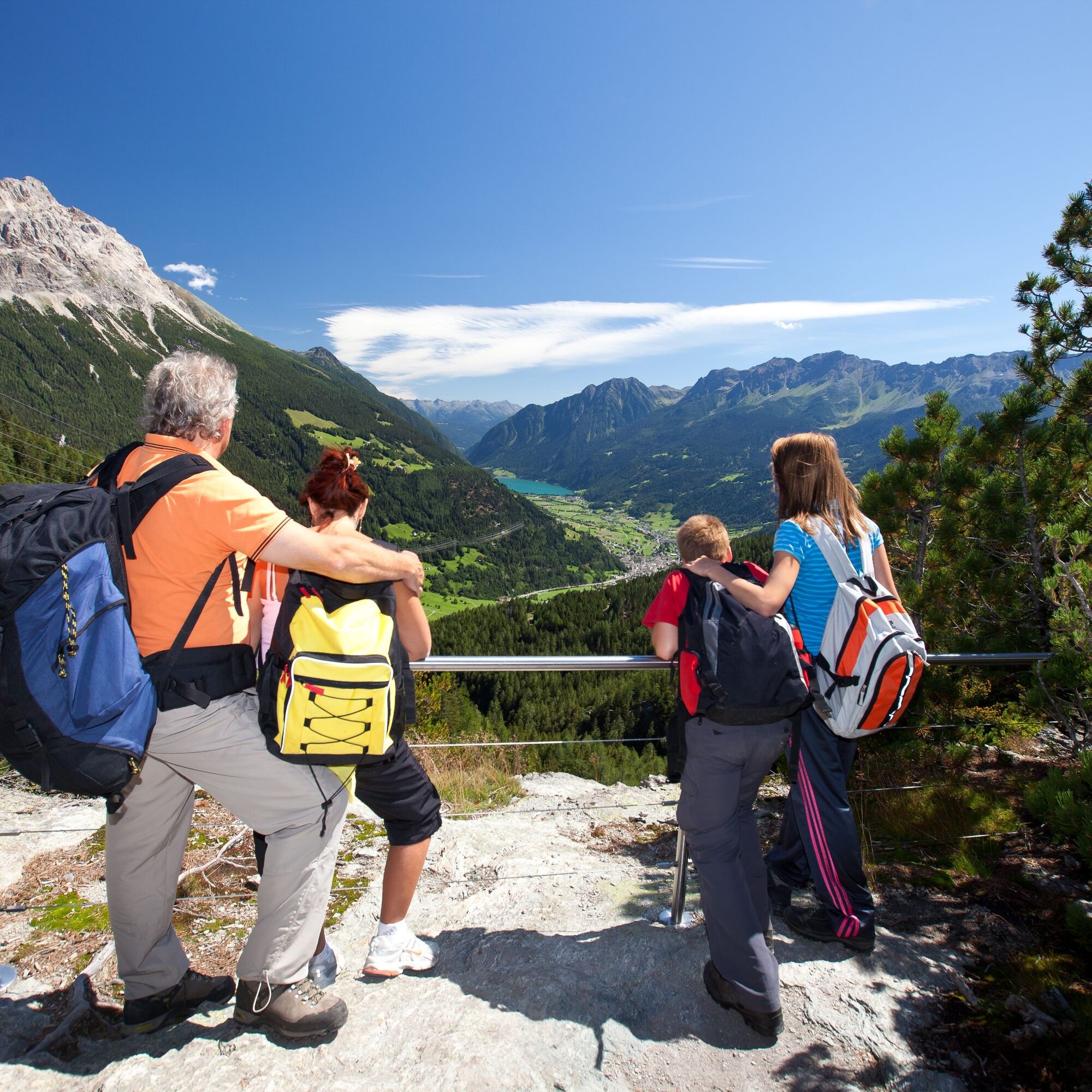
Ideal stage for families.
Hike comfortably from accommodation to accommodation and benefit from the luggage transport included in the price. The routes can also be simplified using public transport.
Webové kamery z prohlídky
-
Berninapass
-
Diavolezza Bergstation
-
Diavolezza Bergstation
-
Diavolezza Bergstation
-
Diavolezza Bergstation
-
Diavolezza Bergstation
-
Diavolezza Bergstation
-
Diavolezza Bergstation
-
Sassalbo
-
Diavolezza Bergstation
-
Bergstation Lagalb
-
Bergstation Lagalb
-
Bergstation Lagalb
-
Bergstation Lagalb
-
Bergstation Lagalb
-
Bergstation Lagalb
-
Passo della Forcola
Oblíbené prohlídky v okolí
-
4.7
Diavolezza - Munt Pers
světloTuristika 3.82 km -
5.0
Morteratsch station - Boval Hut
středníTuristika 10.5 km -
5.0
Mountain hike to Lagh da Saoseo
heavyTuristika 15.0 km -
4.5
Pontresina - Val Roseg - Pontresina
světloTuristika 13.8 km -
4.7
SAC Tschierva
světloTuristika 24.7 km -
4.8
Morteratsch Glacier route
světloTematická stezka 2.88 km -
5.0
Lagalb - Val Minor - Motta Bianca - Lagalb
středníTuristika 9.80 km -
4.2
Piz Palü (3.905m) – Hochtour
středníVysokohorská turistika 13.4 km -
4.5
Diavolezza - Lej da Diavolezza
středníTuristika 6.22 km -
4.3
Val Roseg
středníZimní turistika 6.96 km

Pěší turistika a stopování


Nenechte si ujít nabídky a inspiraci pro vaši příští dovolenou
Vaše e-mailová adresa byl přidán do poštovního seznamu.