





AVBM Endurance

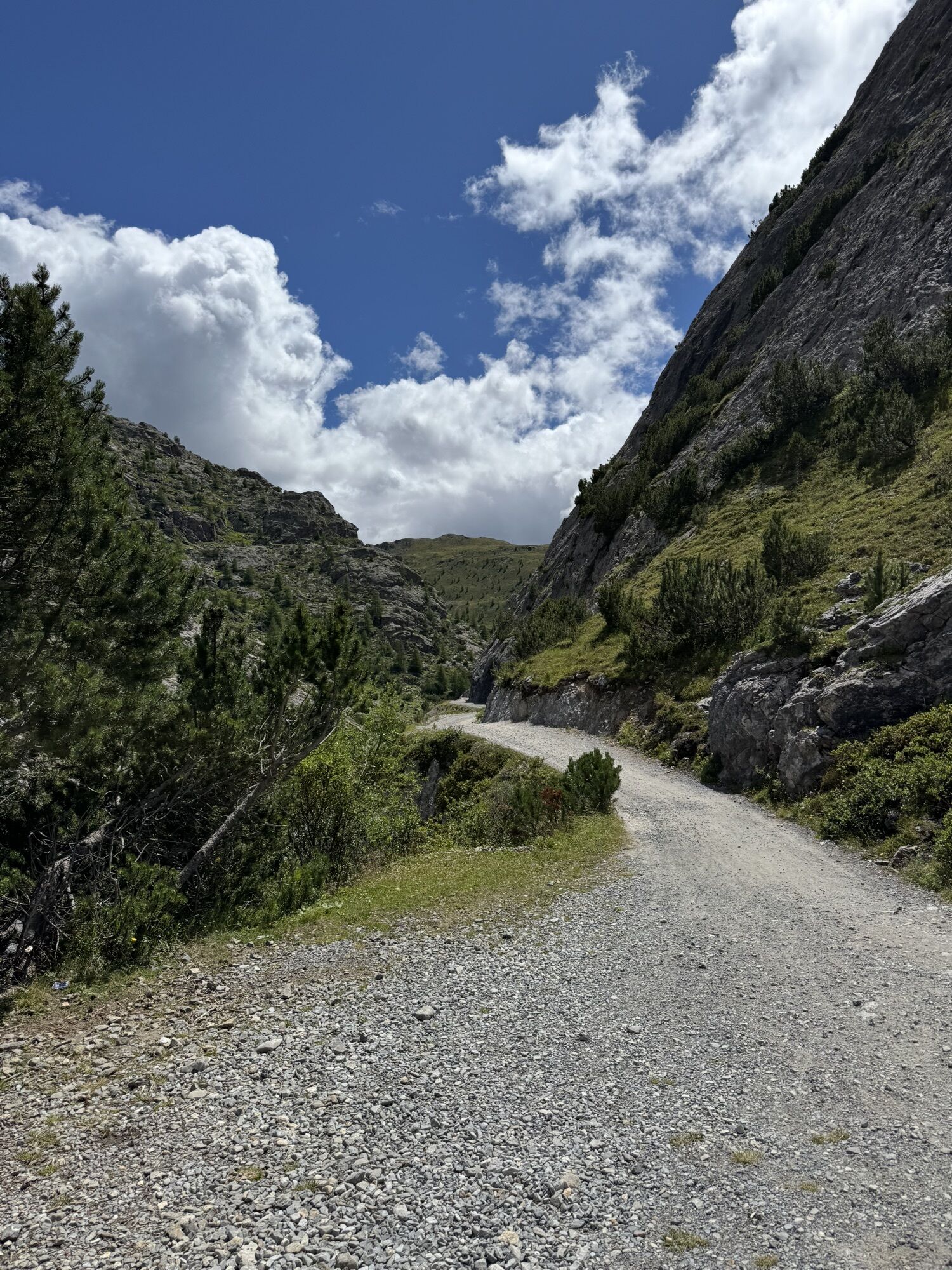
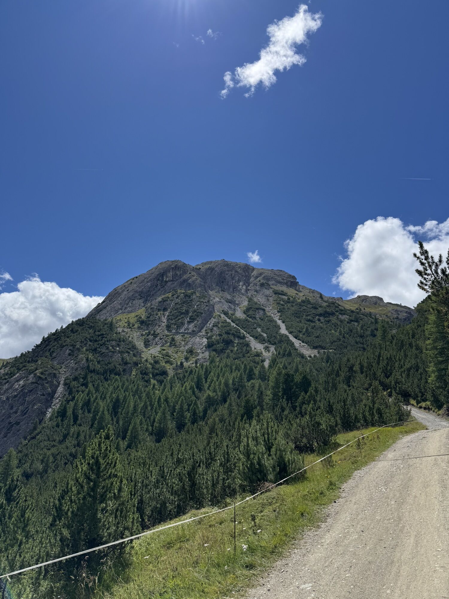
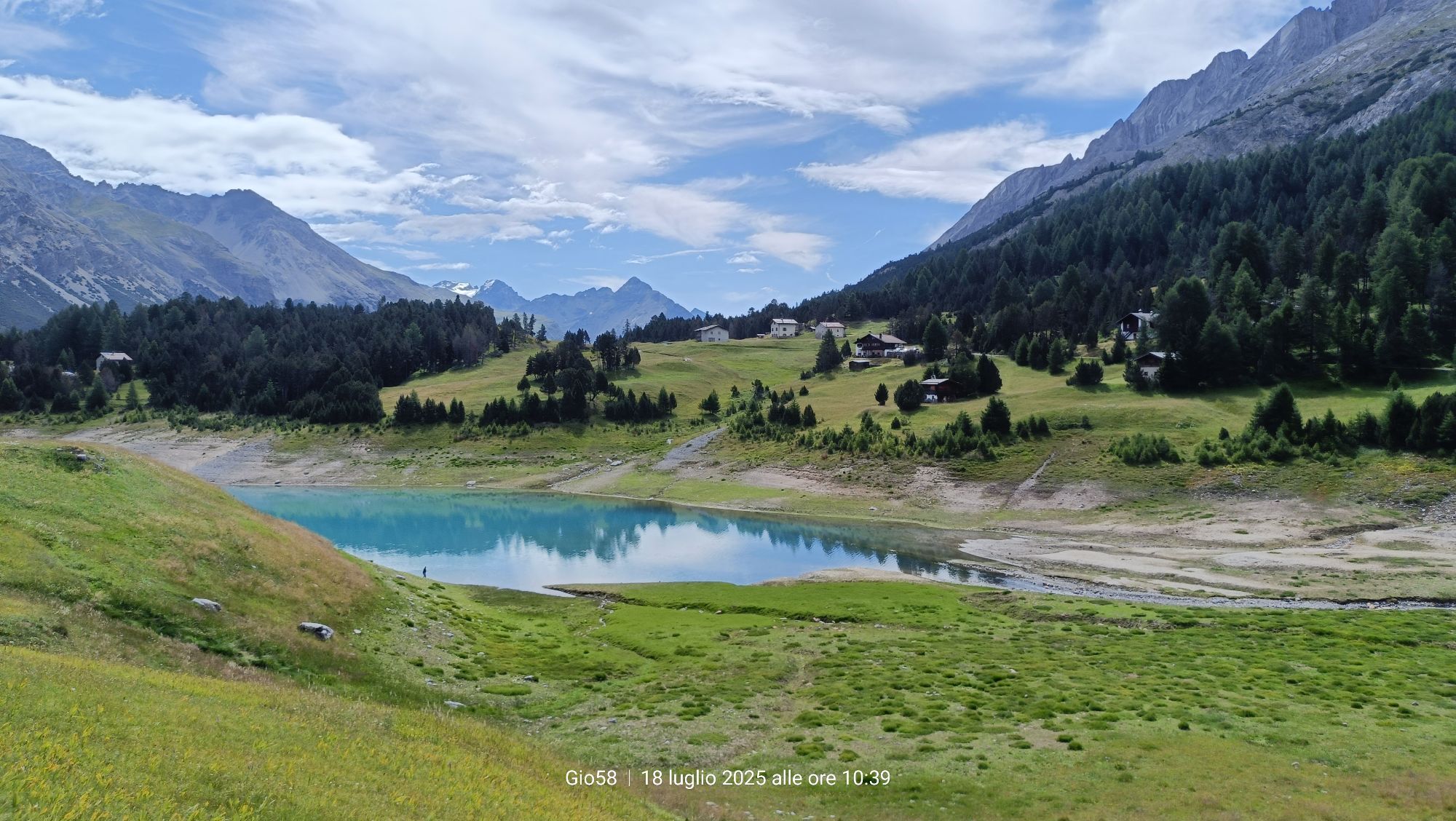

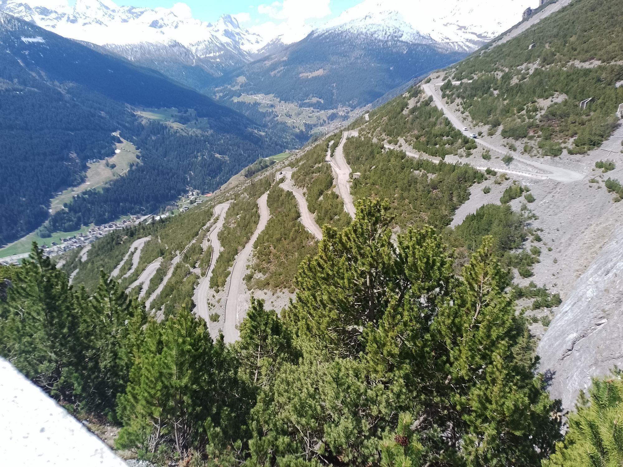
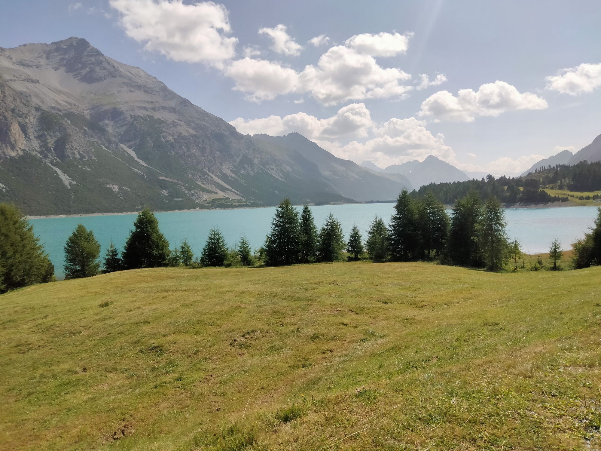
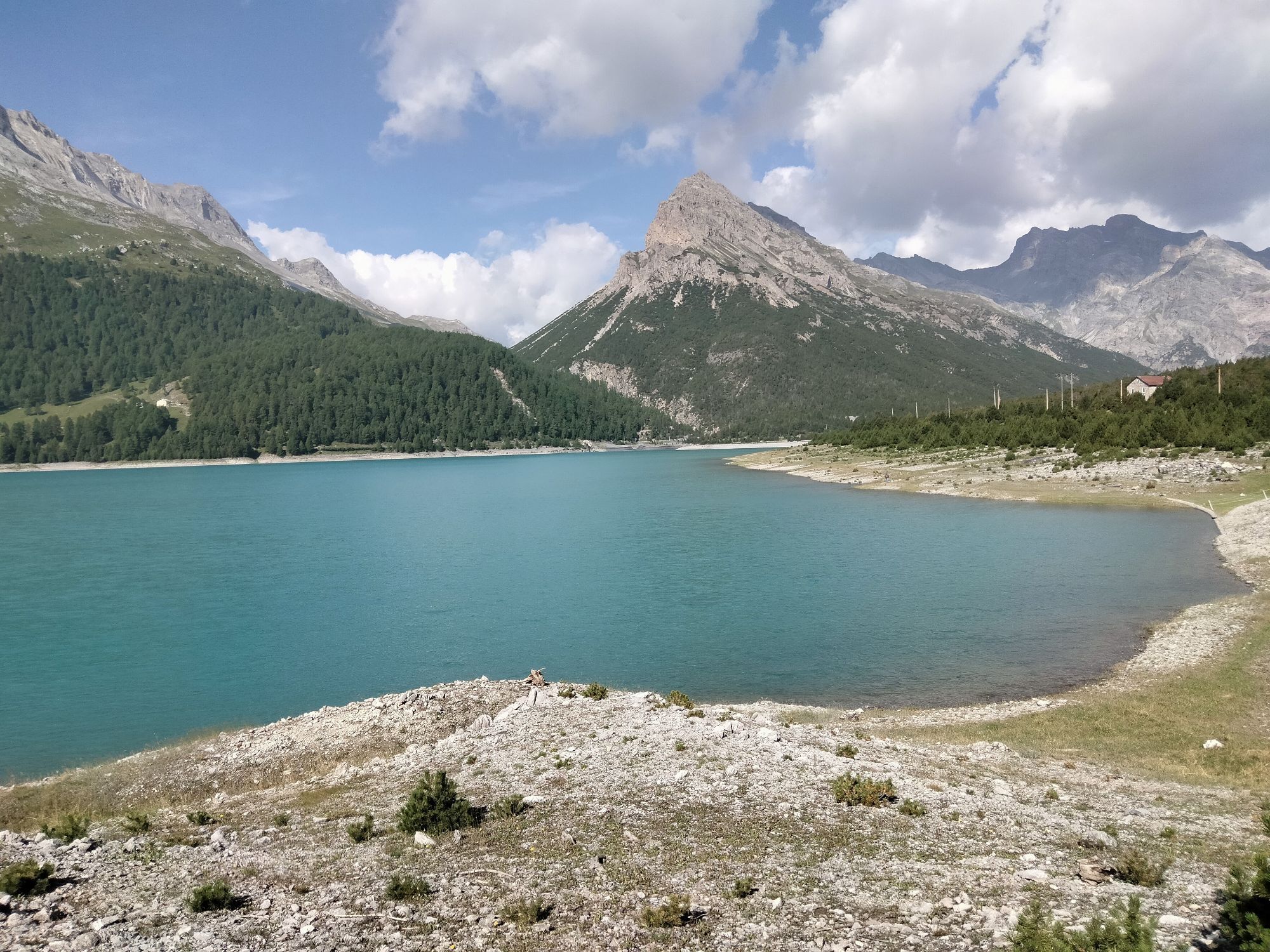
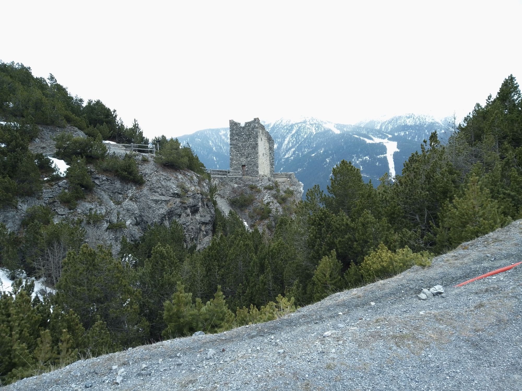
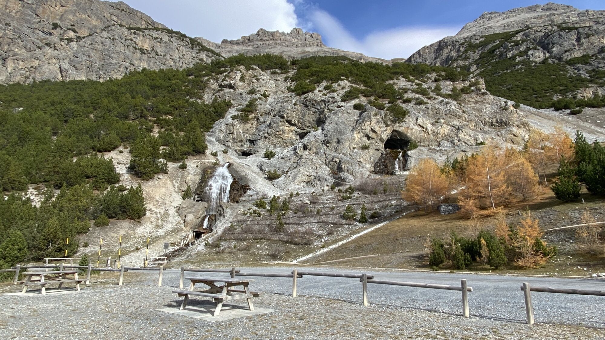
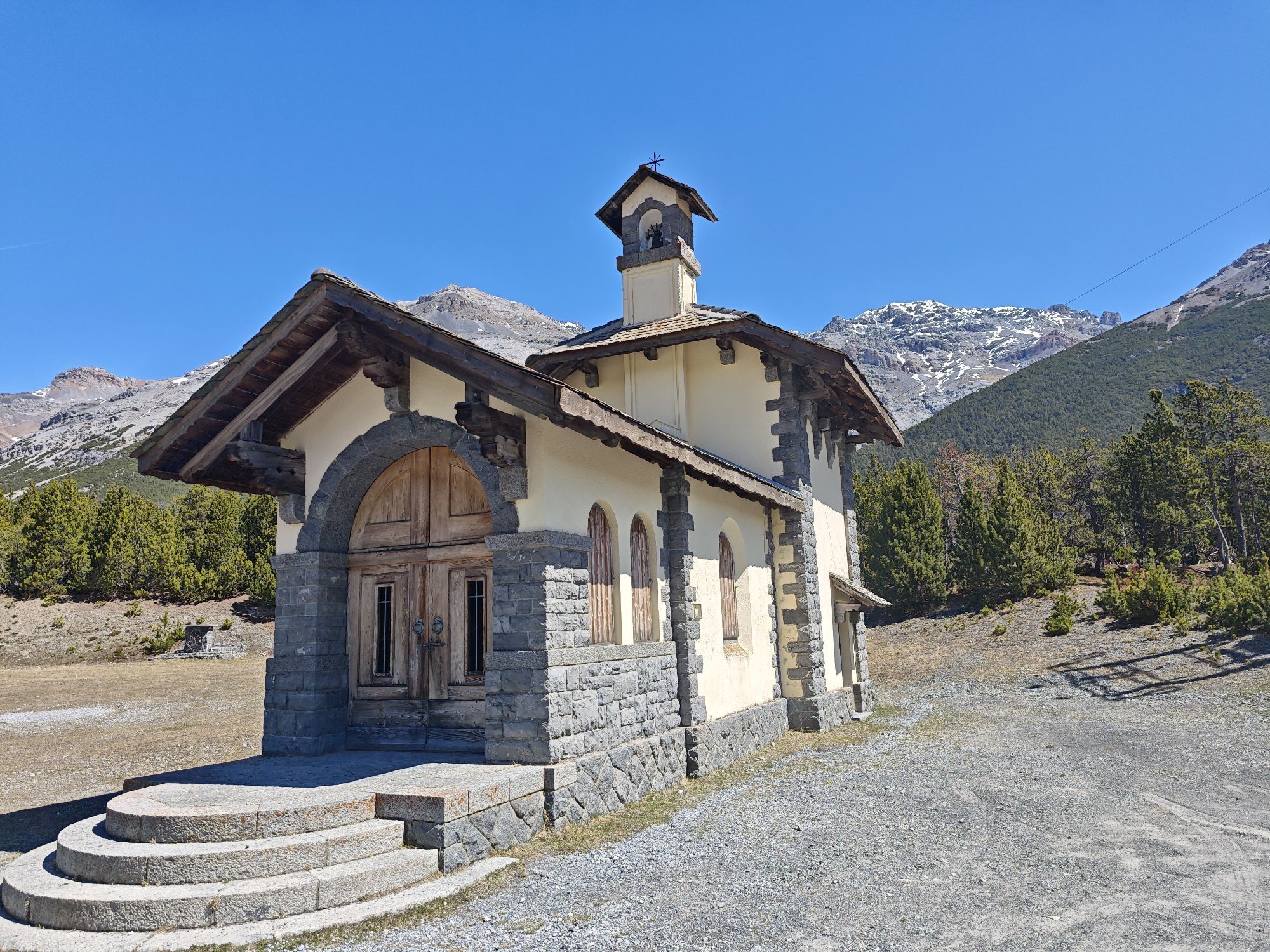
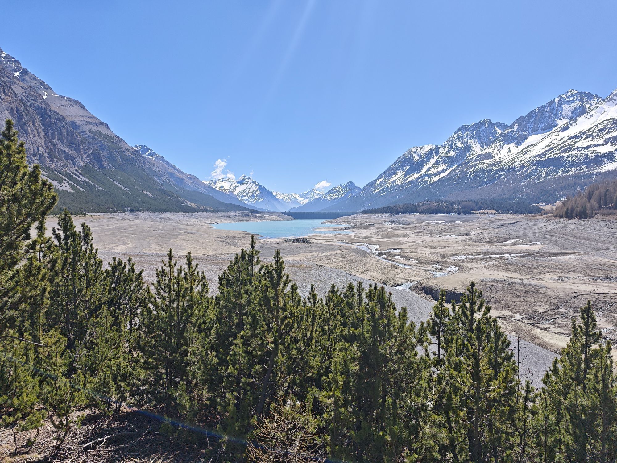
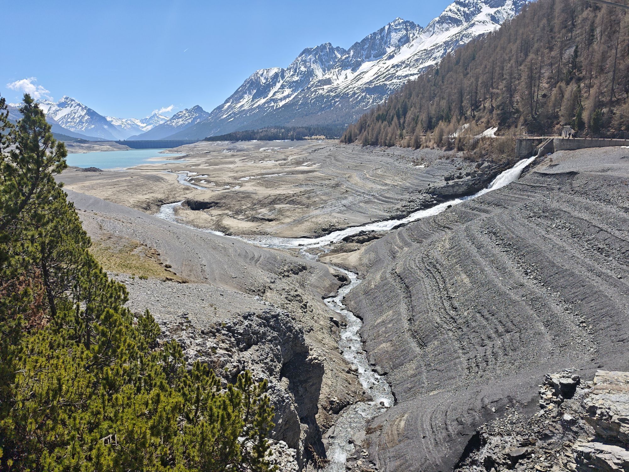
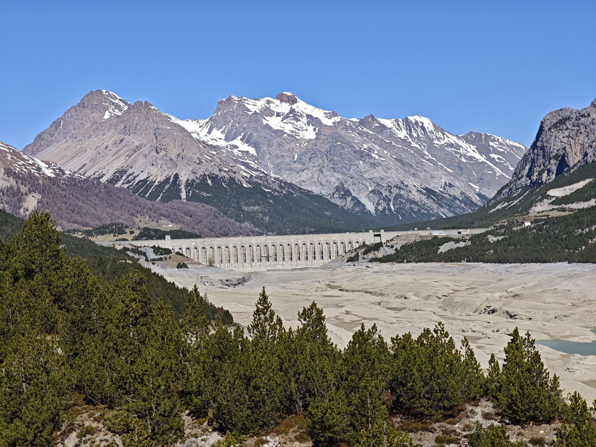

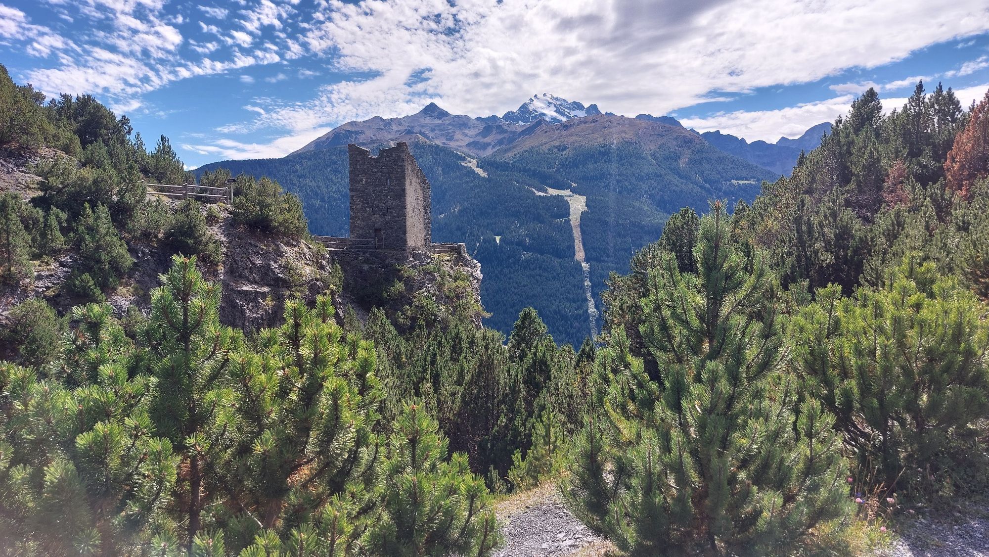
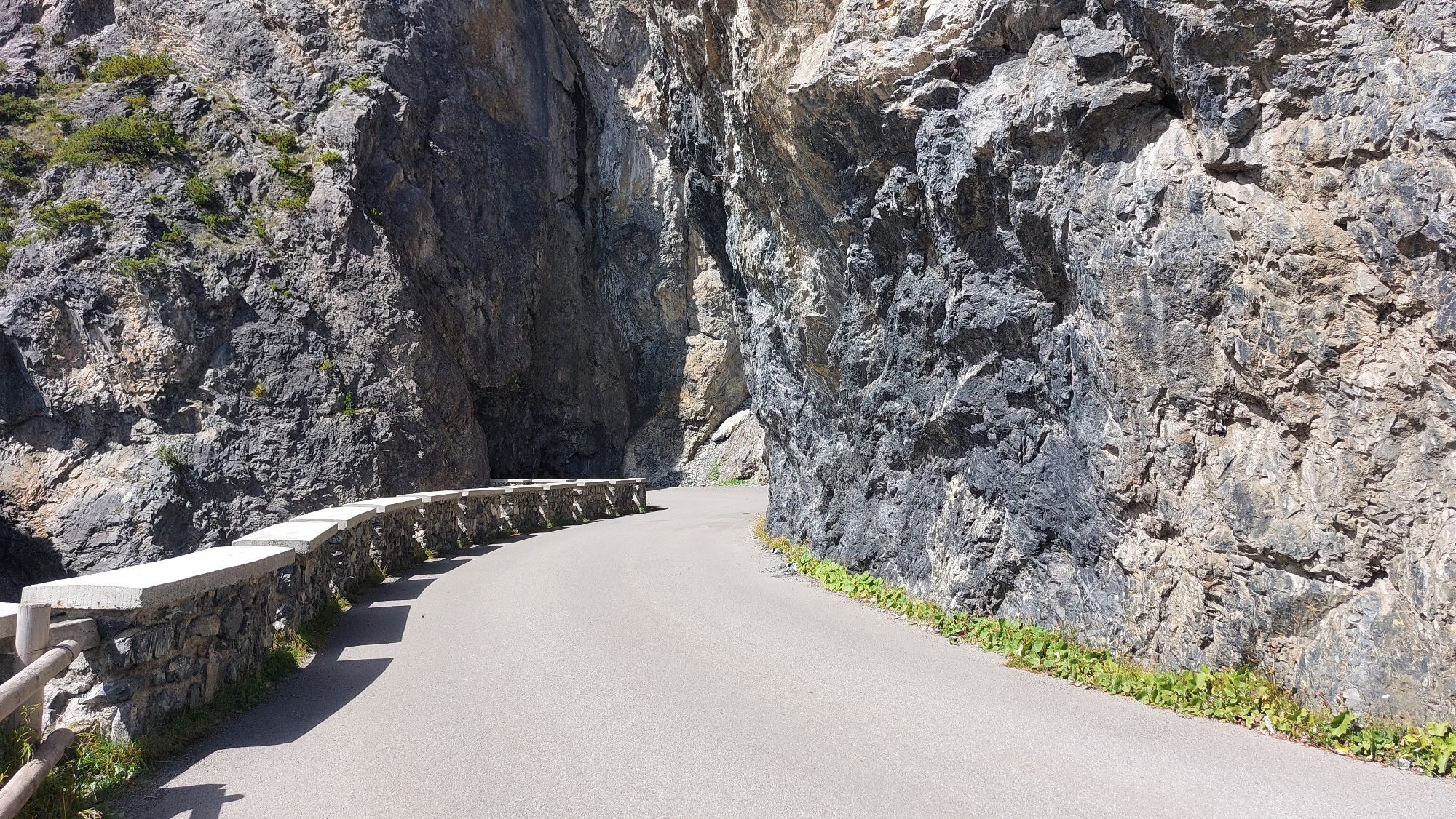
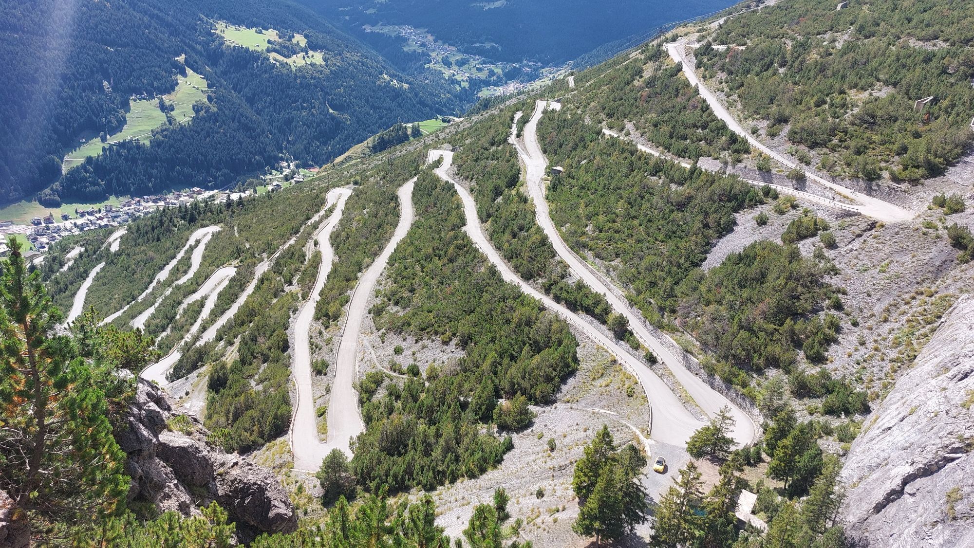
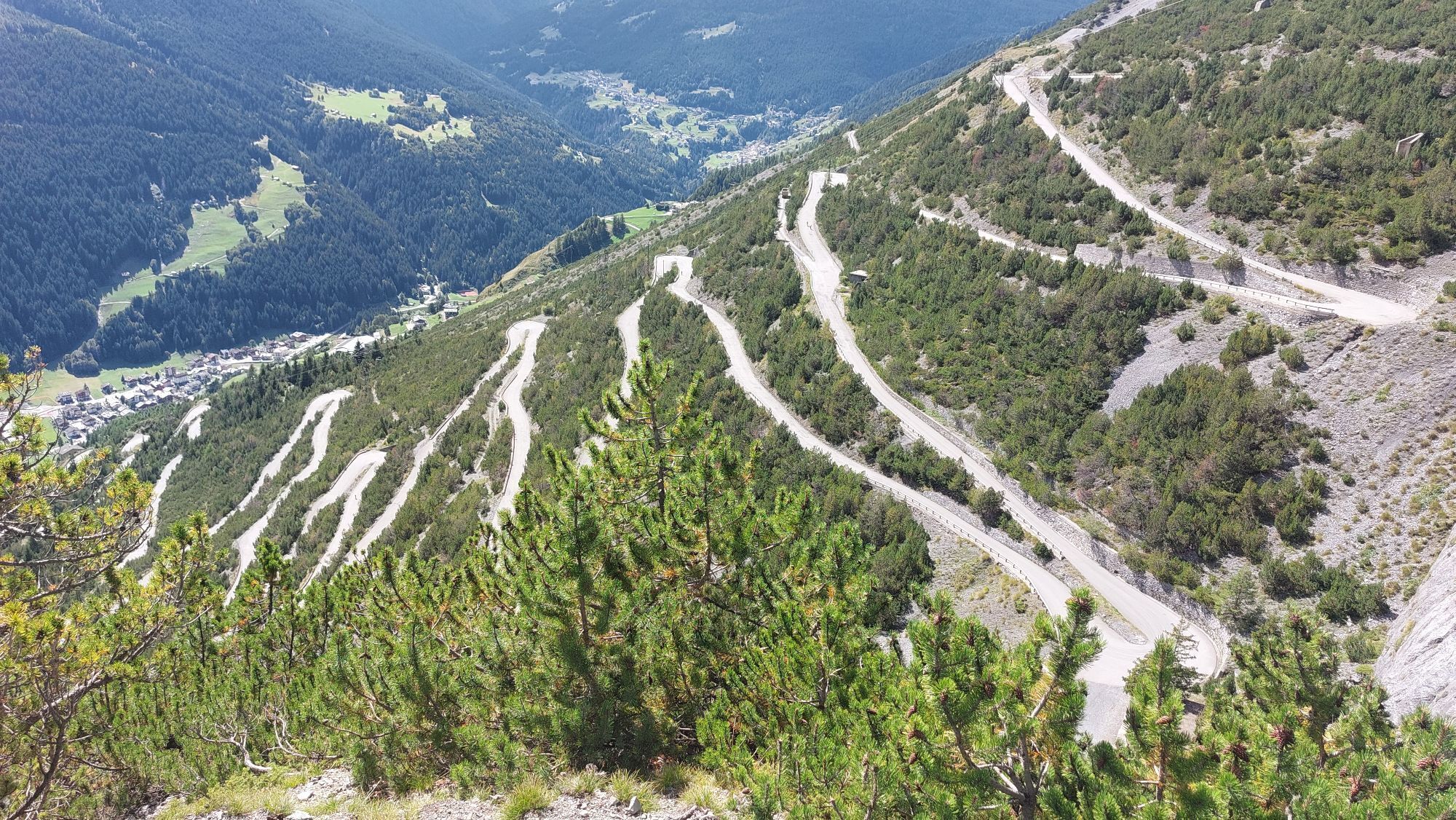
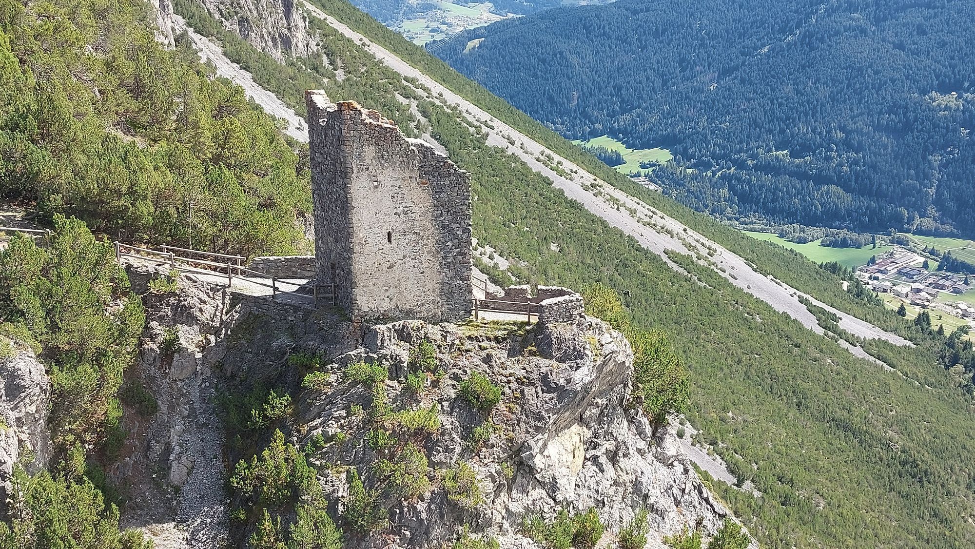
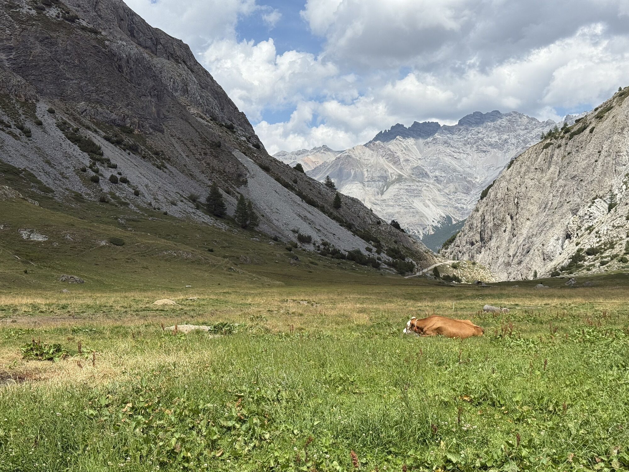
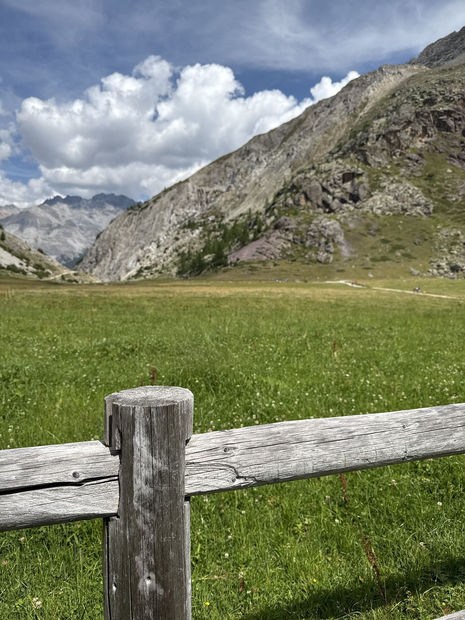
Departure at the Alta Valtellina bike village stadium in Rasin Isolaccia; Launching section passing through the heart of the village of Isolaccia; Start climbing to Pedenosso Alto S.Antonio tot. Km 7 5...
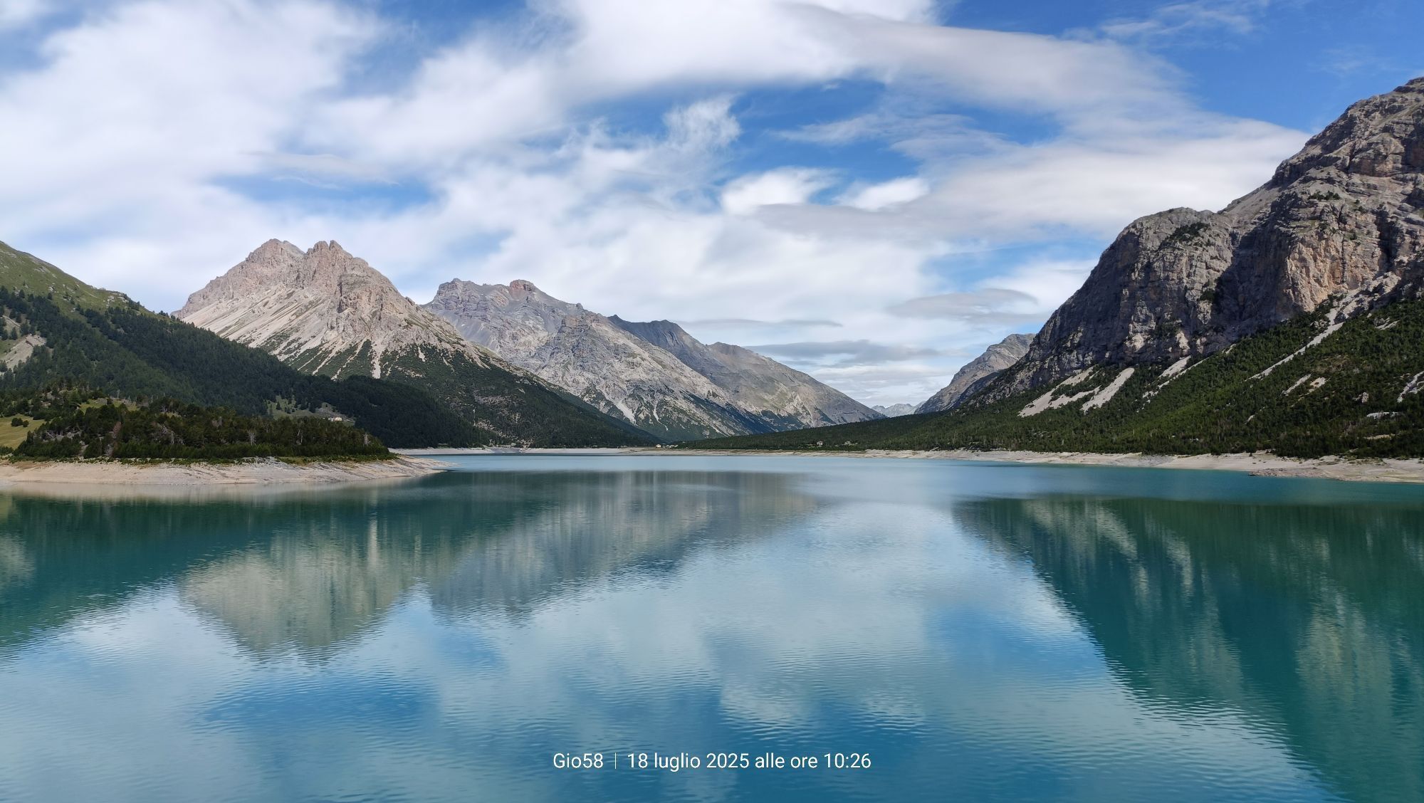
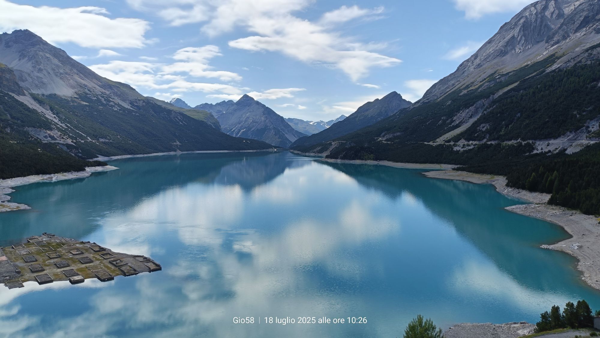
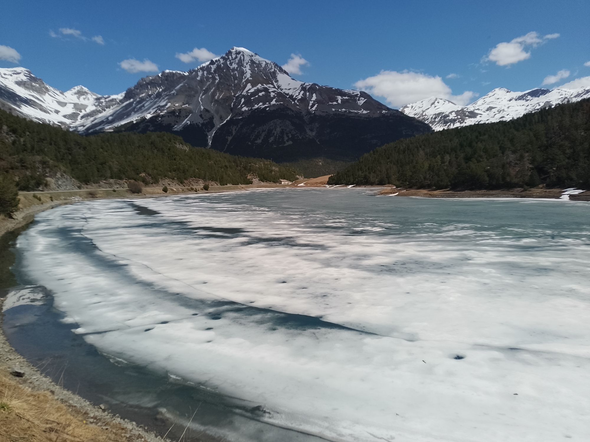
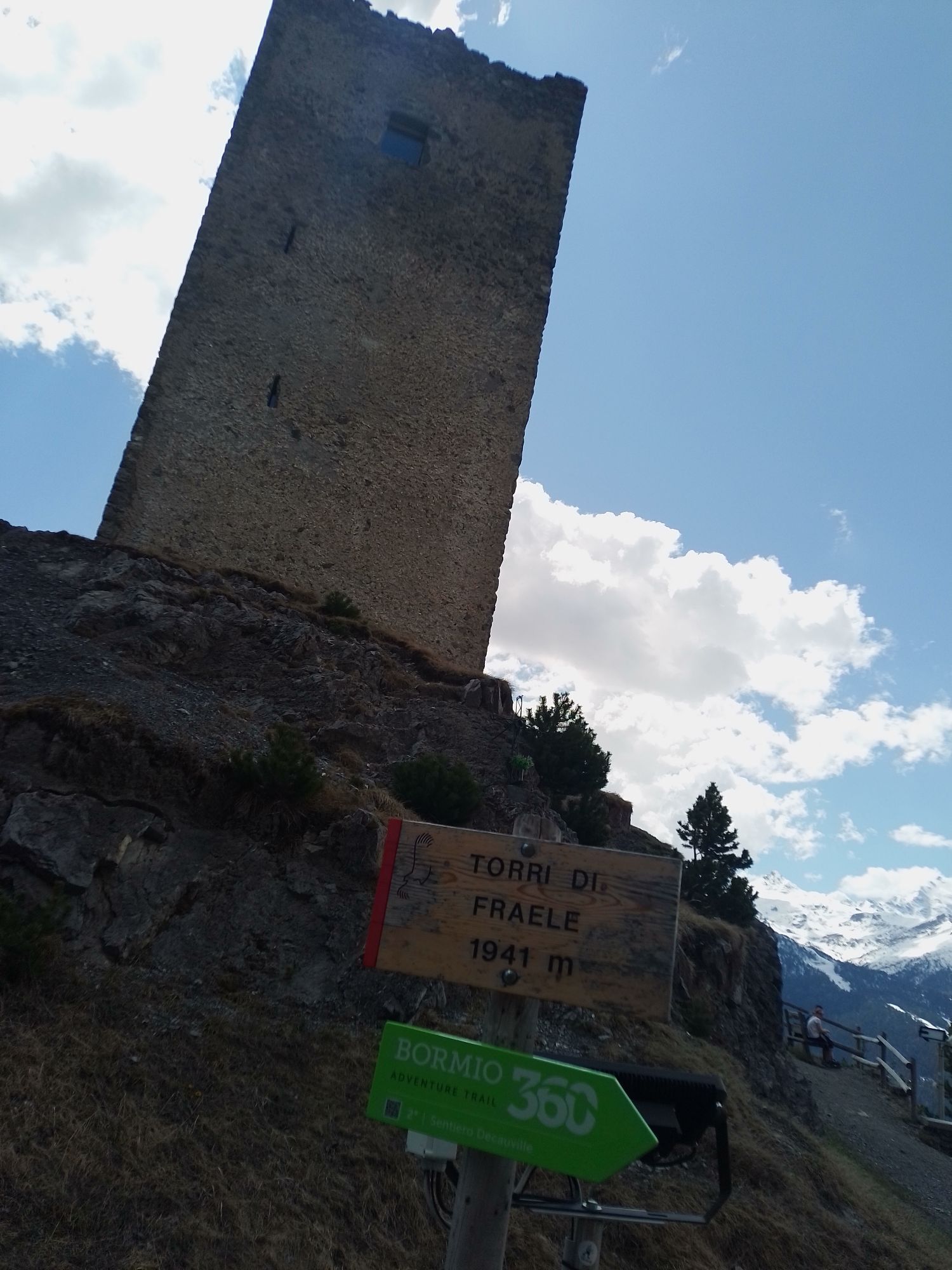
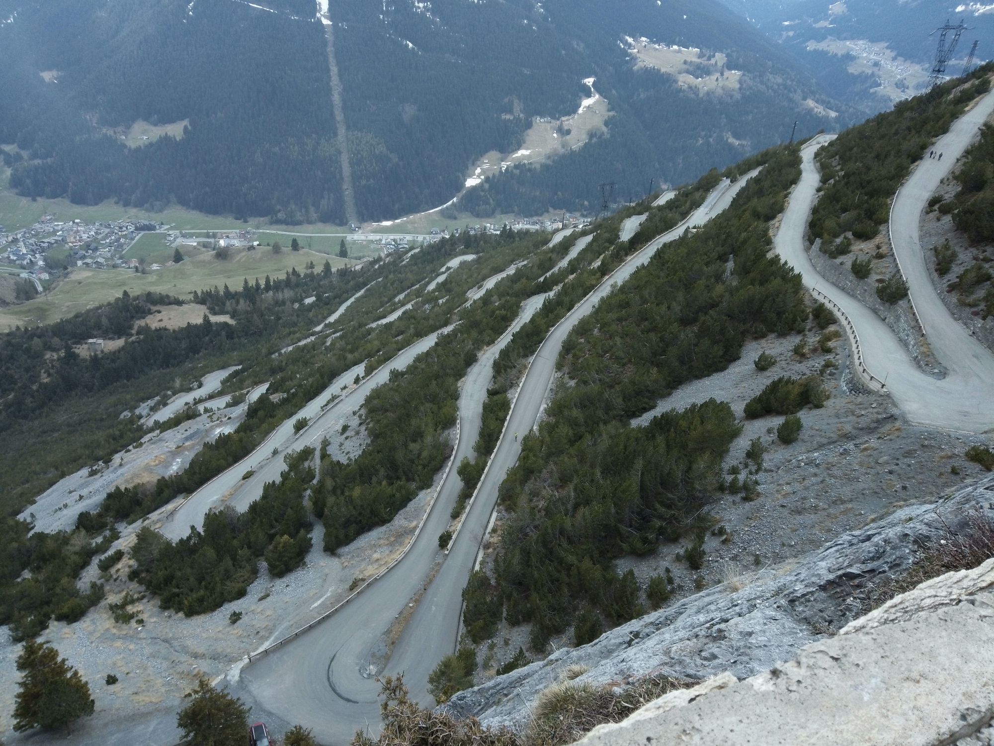
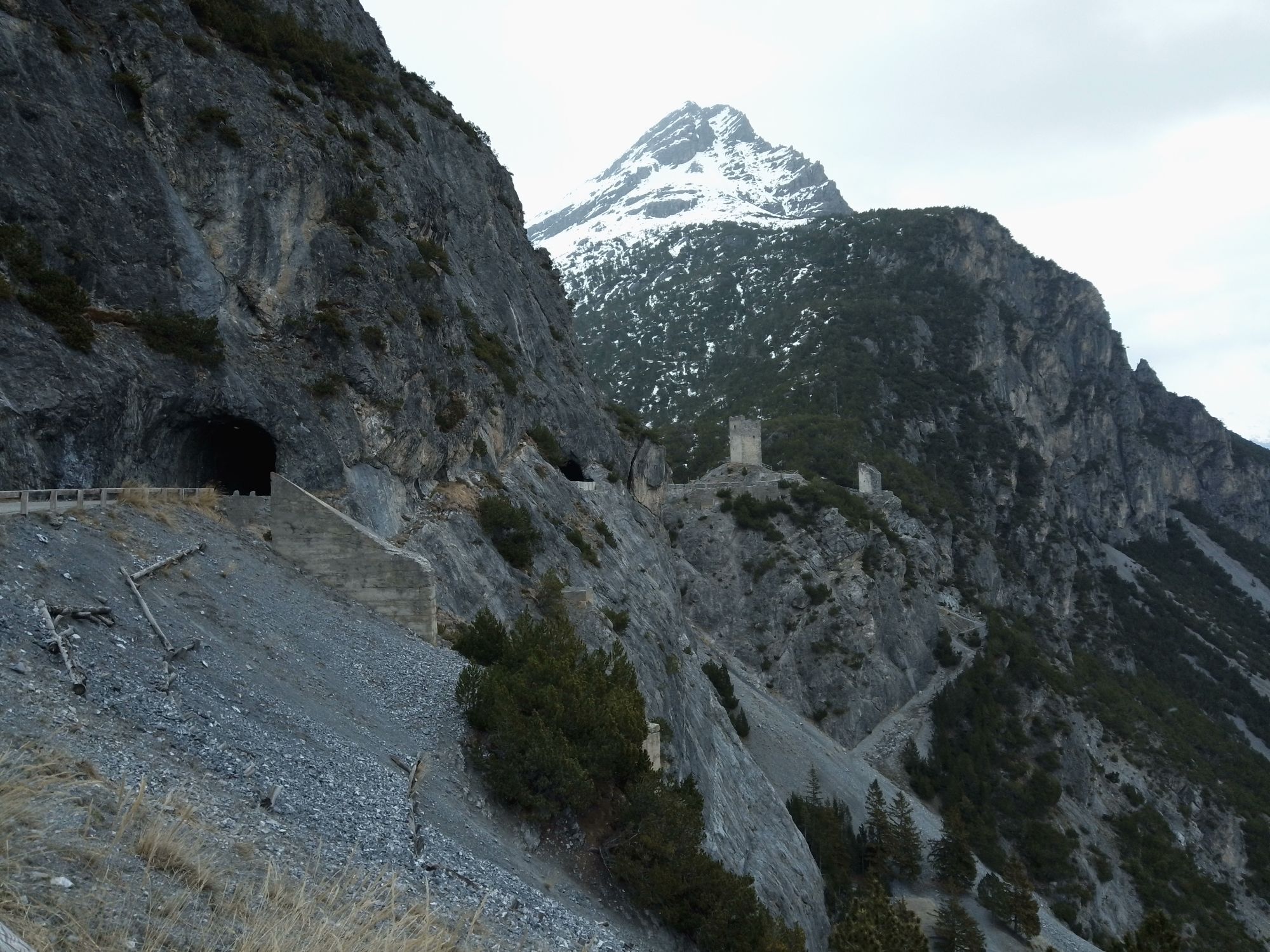
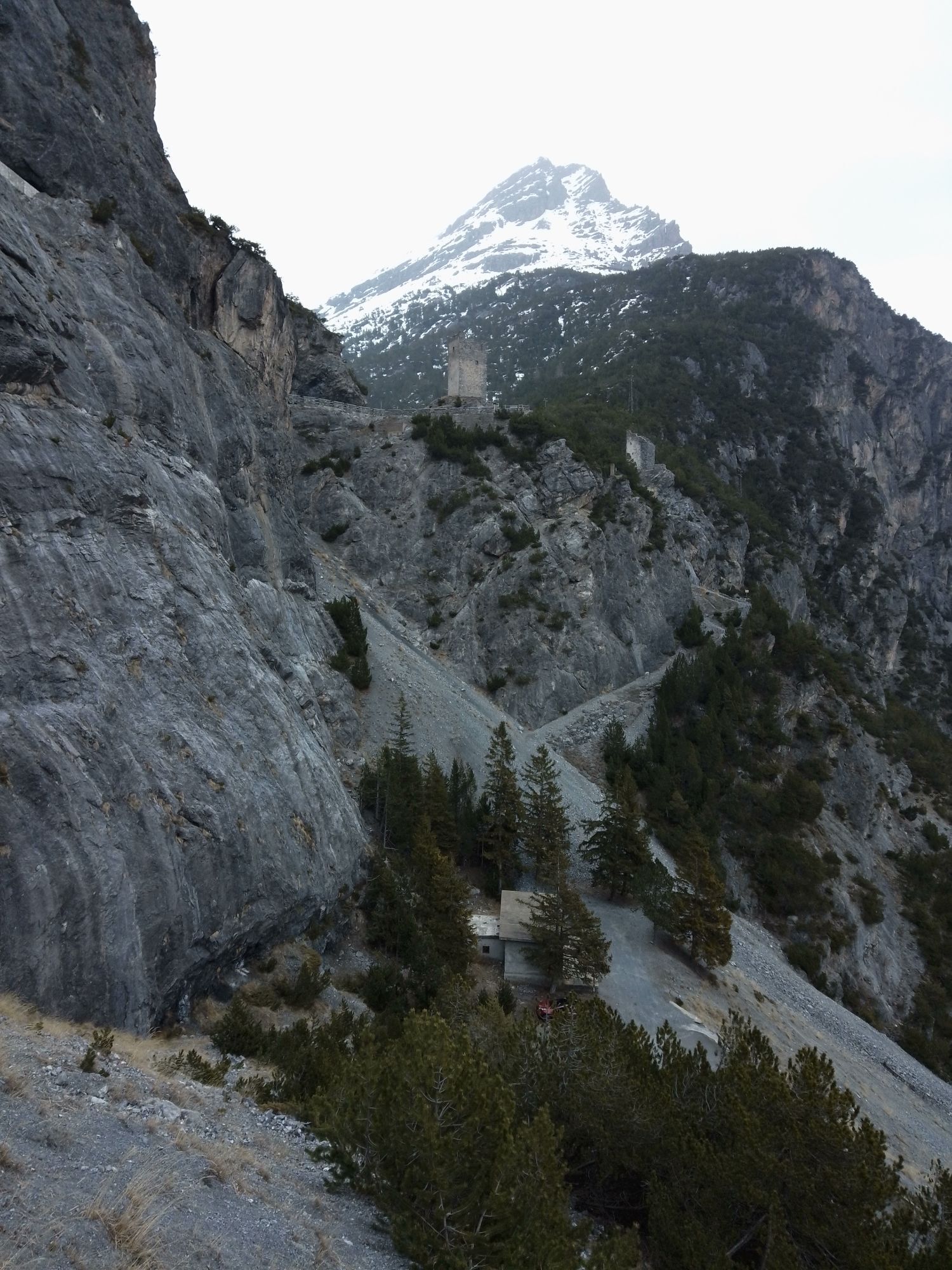
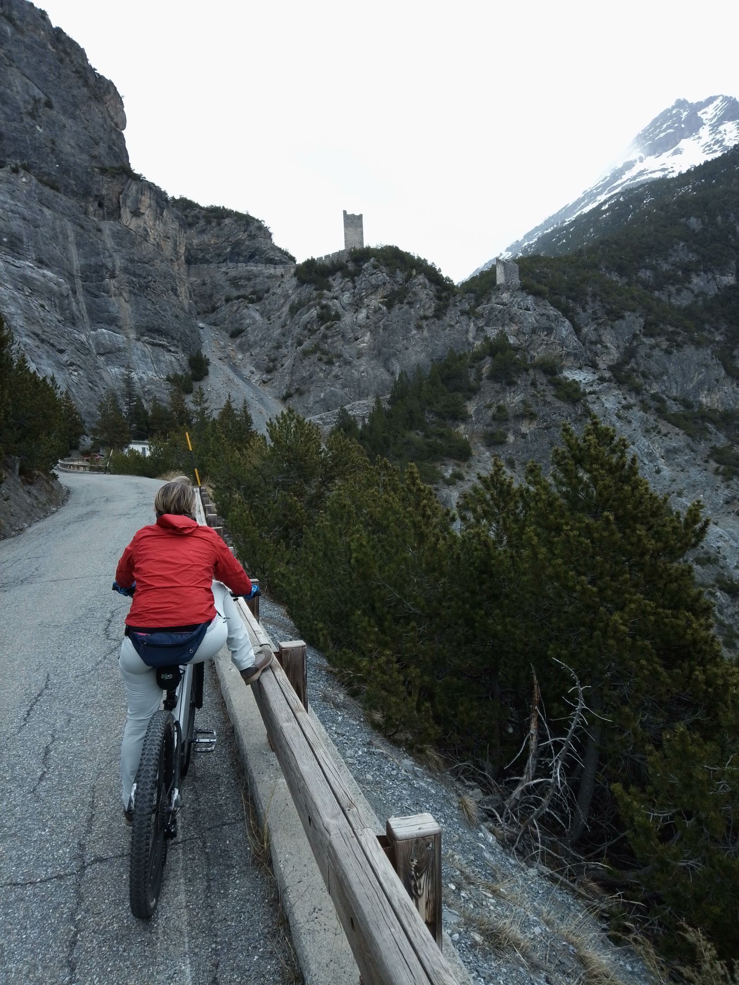
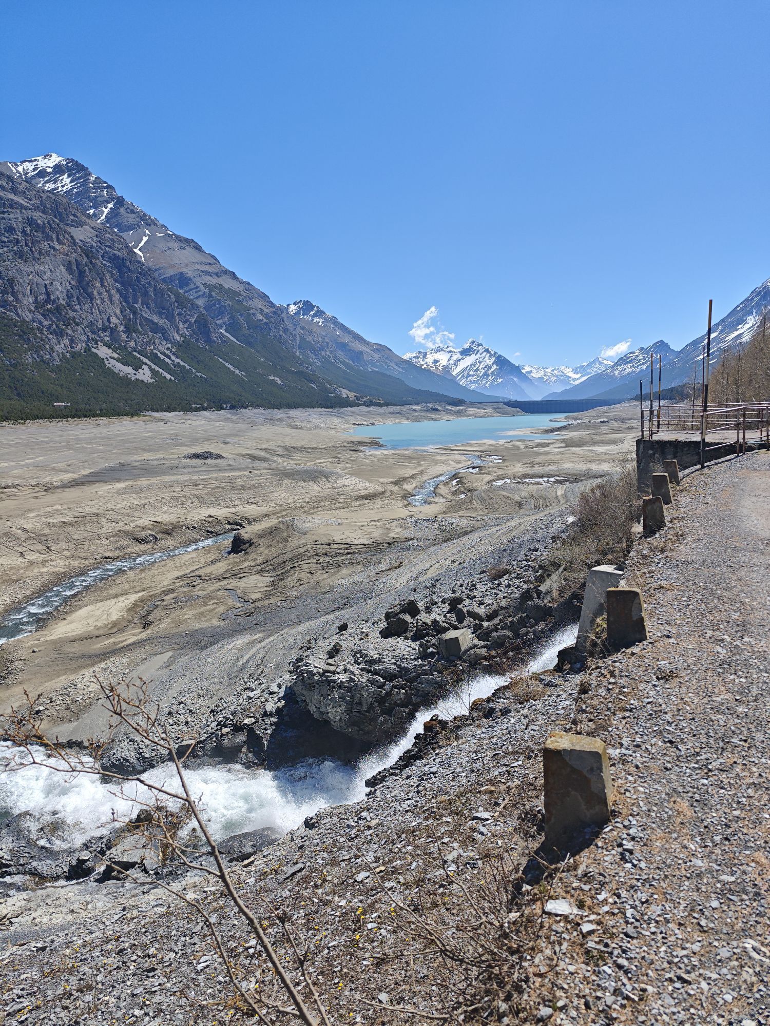
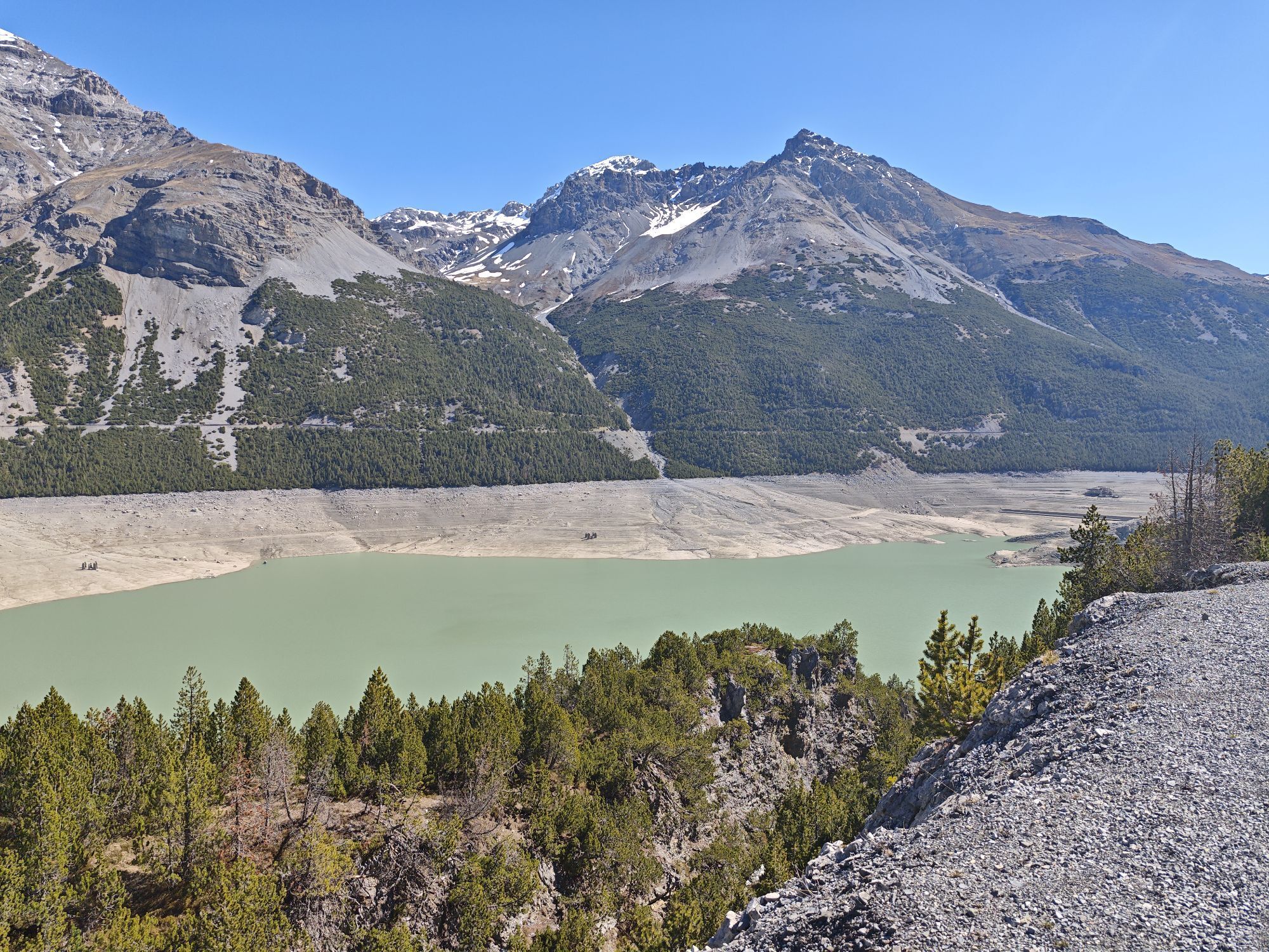
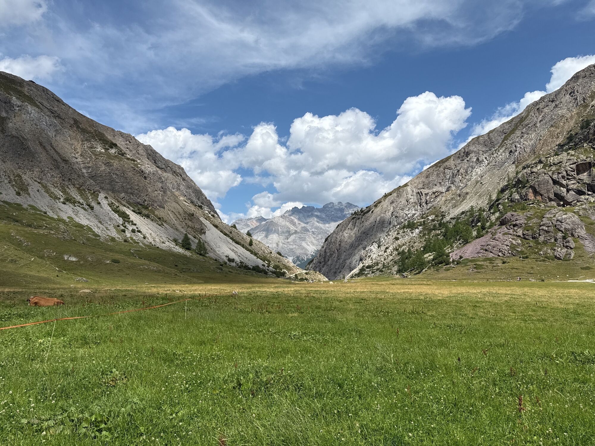
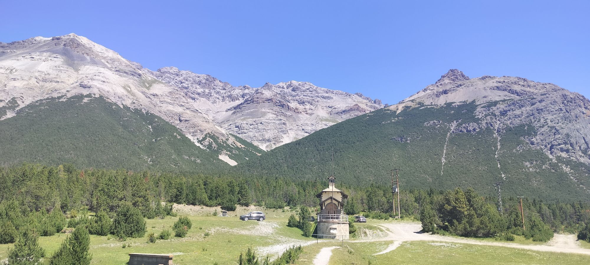
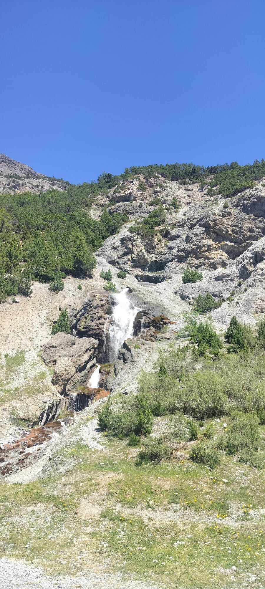
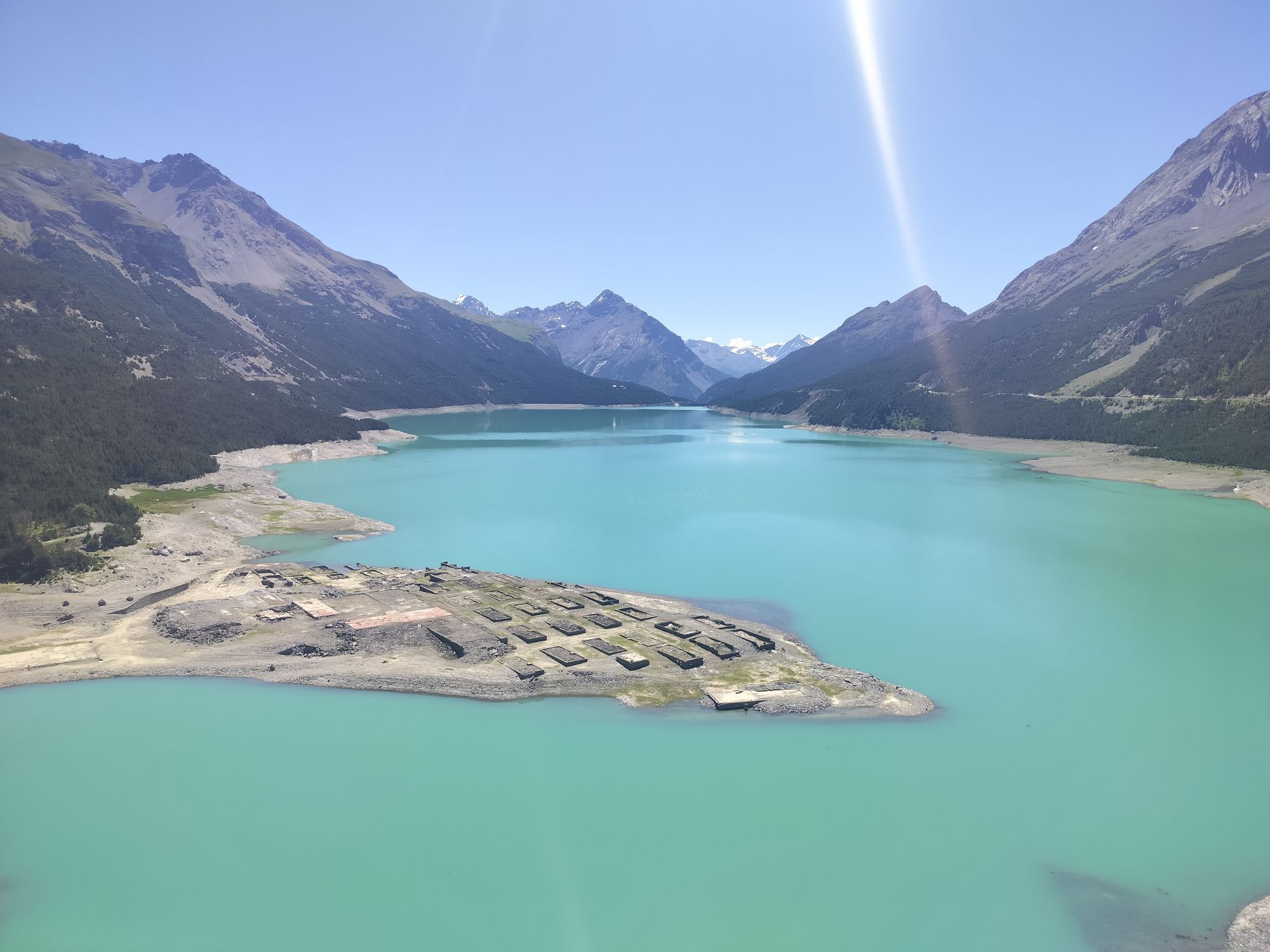
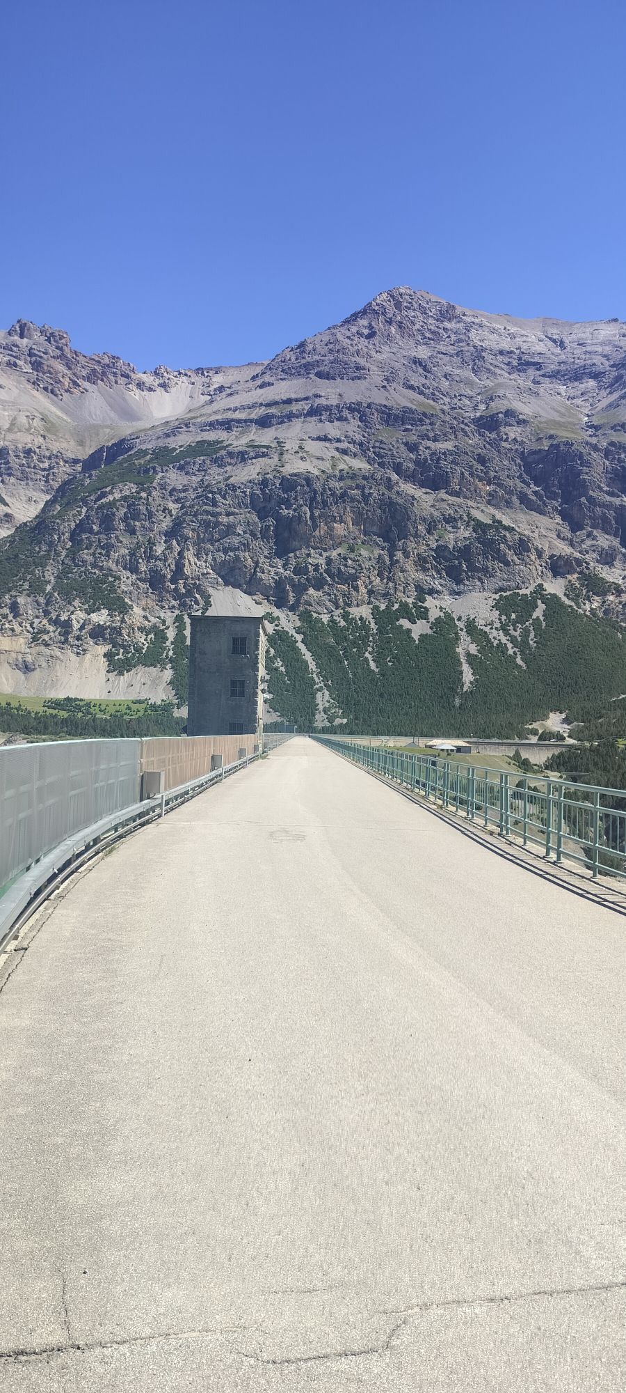
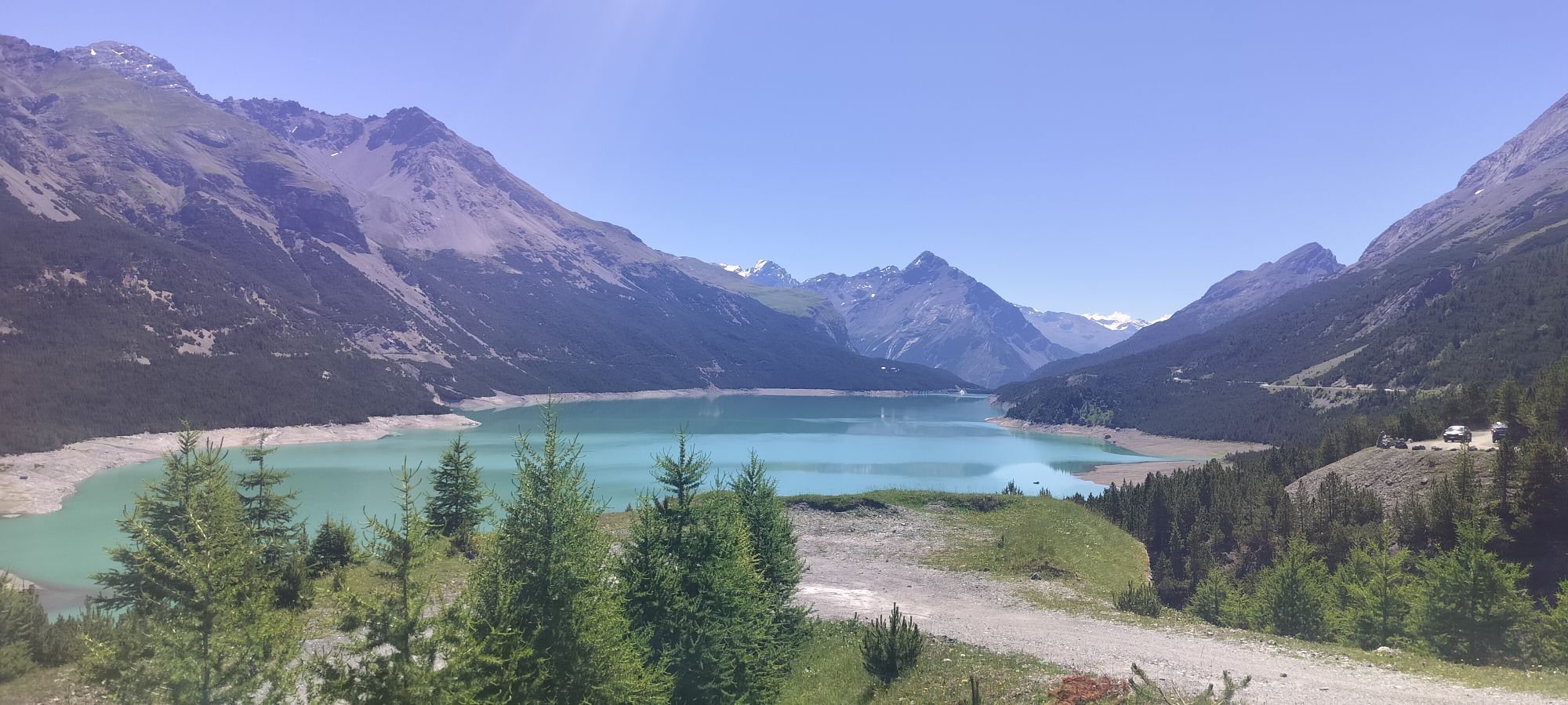
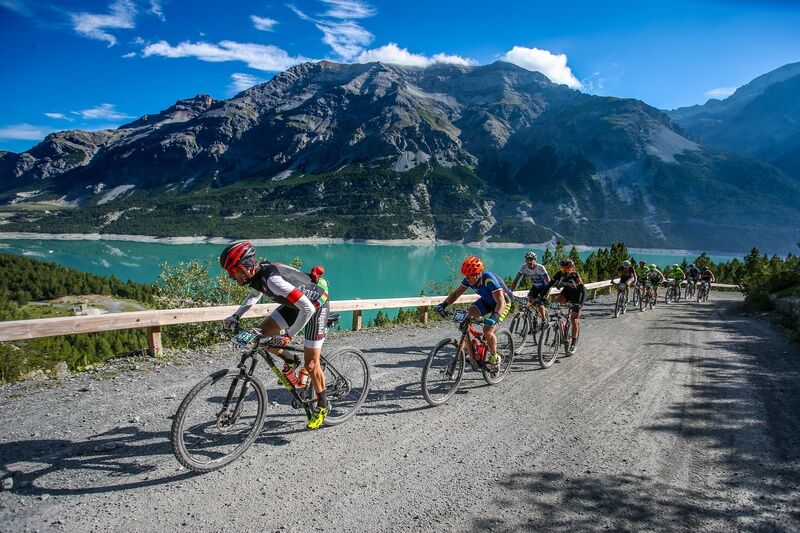
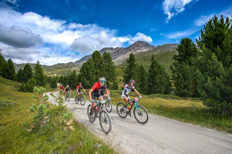
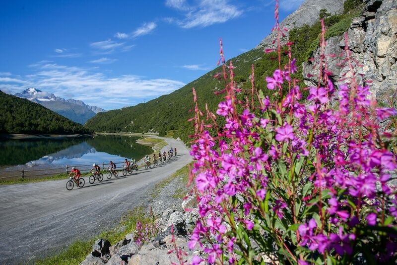
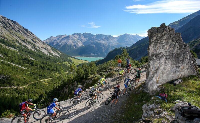
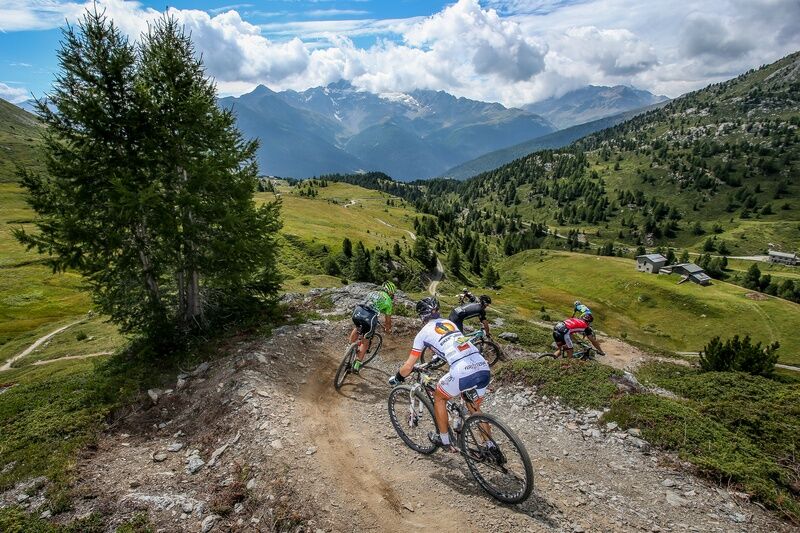
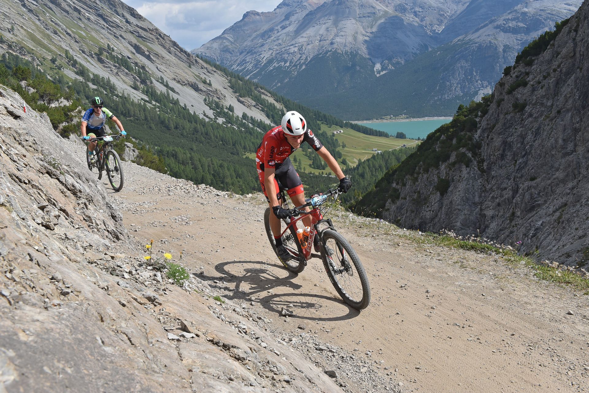
Departure at the Alta Valtellina bike village stadium in Rasin Isolaccia; Launching section passing through the heart of the village of Isolaccia; Start climbing to Pedenosso Alto S.Antonio tot. Km 7 5 km on asphalt and then start dirt road Scollinamento on the dirt road of the Decauville turn right direction towers of Fraele At Torri di Fraele mt 1930 one of the connotations more 'typical of Valdidentro, on the path of the ancient Via Imperiale you enter the spectacular valley of the same name; Passing near the small lake of Monte Scale, you reach the Cancano dams, two artificial lakes of enormous dimensions that constitute an authentic work of hydroelectric engineering inserted in an environment of particular naturalistic interest; the hydroelectric use of the Fraele valley dates back to 1928. We skirt the first dam on the left side, cross the dividing wall and pass on the right side of the second dam, more than 12 km mostly flat on a wide dirt road; Once in the locality of S.Giacomo keeping to the right we proceed on an easy path towards the Val Mora near the Swiss border we are still on the traces of the ancient Via d'Alemagna historical and important commercial link between Valtellina and the neighboring countries of northern Europe until 1487. Before crossing the border we turn and proceed in the direction of Pra' Grata to return to S.Giacomo. Skirting the S.Giacomo dam on the right side, after about 3 km on a wide flat road, in the locality of Val Pettin, detour and start of the climb to Alpe Trela mt 2200, km 2 on a dirt road with a compact bottom; Short flat stretch and uphill again for another 1 km.5 on path to descend to Bocchette di Trela mt 2350; Spectacular descent towards Val Vezzola: first part on fun singletrack and then continue on dirt road to the entrance of the path that goes to the valley of Foscagno; after a series of technical ups and downs, you descend and return to the flat road of Decauville; Passage in the locality 'Arnoga, crossing the state road to Livigno in the direction of Val Viola; a valley dominated by the mountains that are part of the group of Cima Piazzi and Corna di Campo: Cima Piazzi, Cima Viola and Cima Dosde' in fact tower above it; A first uphill stretch km 1 leads to Val Verva; At Baite Verva Bassa, on a newly built trail, proceed on 3 km of fun ups and downs; The trail becomes wider and after 1 km you pass through Val Cardonne' to then turn left and after crossing the bridge you climb for 500 mt; A smooth descent for 1 km and a detour to the right for Paluetta uphill km 1; From Paluetta km 1 on varied terrain you reach Alpe Boron mt 2057; Short descent and immediately turn right to face a climb of about 1.300 km at times very challenging wall of Prei; It climbs to loc. Prei particularly scenic place where the view can 'sweep over all the surrounding valleys covered in the first part of the track; through a new fun flat path and slightly downhill you reach Alpe Pone; Still on a newly built path, you skirt the ski slopes of Valdidentro until the entrance of the road of Palancana, a long flat stretch surrounded by thick pine forests between which open spectacular panoramic windows on the district of Bormio; Breathtaking descent to the historic-naturalistic area of the Venini military fort and the Paluaccio di Oga reserve Taking advantage of the fun trails built for the Oga bike park, one flies to the Motte, the Corva, and with passage on the winter cross-country ski trail and the Isolaccia bike path one has arrived

Webové kamery z prohlídky
-
Isolaccia / Valdidentro
-
Bormio 2000
-
Piste Stelvio
-
Bormio 2000
-
Bormio Terme
-
Bormio Terme
-
Bormio Terme
-
Piazza Kuerc
-
Piazza Kuerc
-
Uzza - Valfurva
-
Arrivo Cabinovia Cima Piazzi
-
Arrivo Cabinovia Cima Piazzi
-
Arrivo Cabinovia Cima Piazzi
-
Arrivo Cabinovia Cima Piazzi
-
Arrivo Cabinovia Cima Piazzi
-
Teleir - Oga
-
Teleir - Oga
-
Teleir - Oga
-
Teleir - Oga
-
Teleir - Oga

Oblíbené prohlídky v okolí
-
5.0
Mountain hike to Lagh da Saoseo
heavyTuristika 15.0 km -
3.4
Sta.Maria, Prà da Vau - Lai da Rims - Alp Sot - Prà da Vau
heavyTuristika 14.7 km -
4.7
Val Nera Waterfalls
světloTuristika 5.70 km -
5.0
Crap da la Pare' with Joëlette
světloTuristika 4.58 km -
4.2
Piz Umbrail and descent to Lai da Rims
středníTuristika 15.0 km -
4.6
Stelvio Epic Rides: Passo dello Stelvio
heavySilniční kolo 20.9 km -
2.0
Military Historical Hiking Trail "Scorluzzo"
středníTuristika 9.52 km -
5.0
Monte Scale Loop Trail
heavyTuristika 7.53 km -
5.0
Piz Umbrail und Abstieg zum Lai da Rims
heavyVysokohorská turistika 15.0 km -
4.2
Val Federia Livigno
středníElektrokola 26.5 km
Pěší turistika a stopování


Nenechte si ujít nabídky a inspiraci pro vaši příští dovolenou
Vaše e-mailová adresa byl přidán do poštovního seznamu.





