






Military Historical Hiking Trail "Scorluzzo"

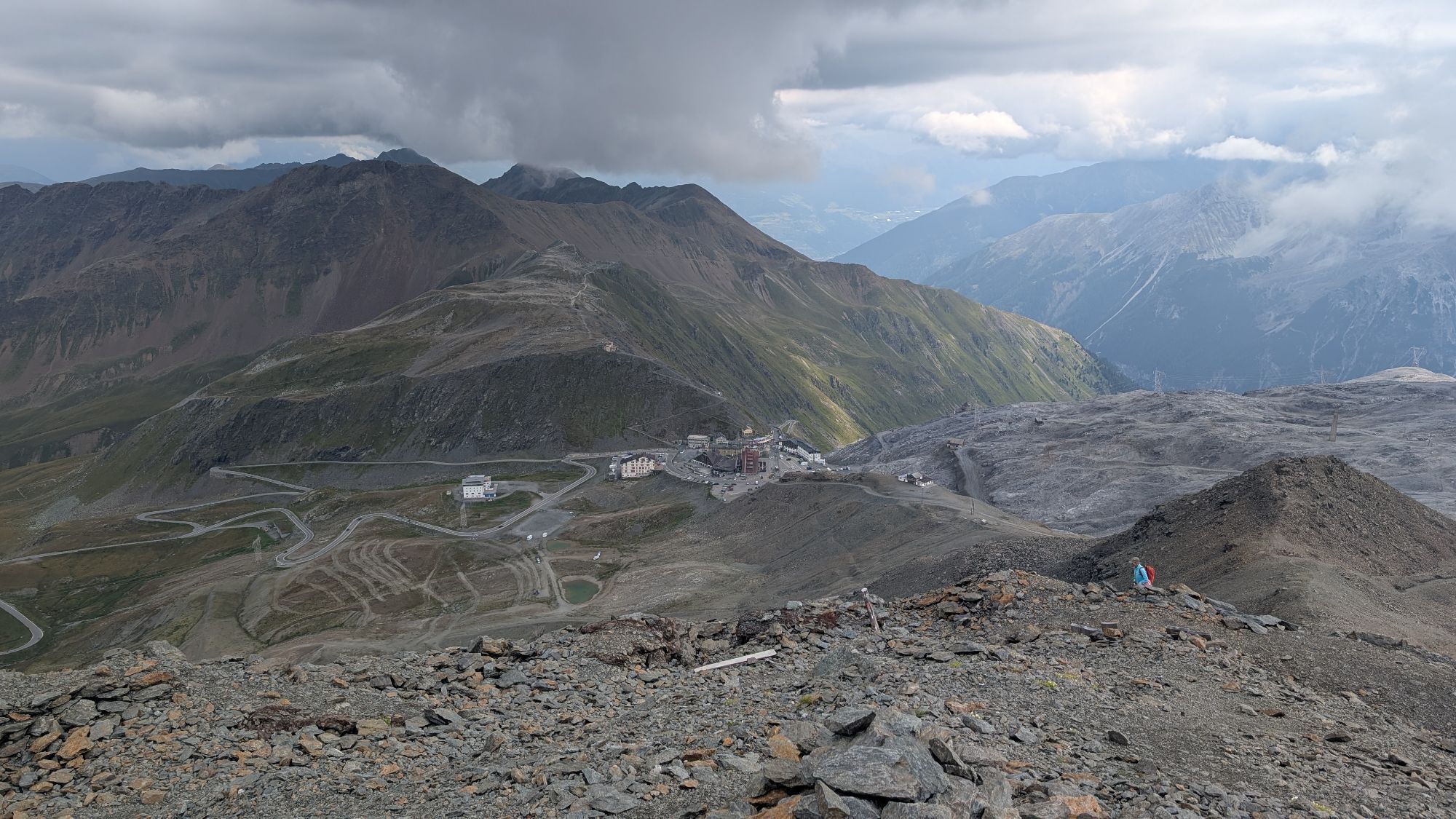
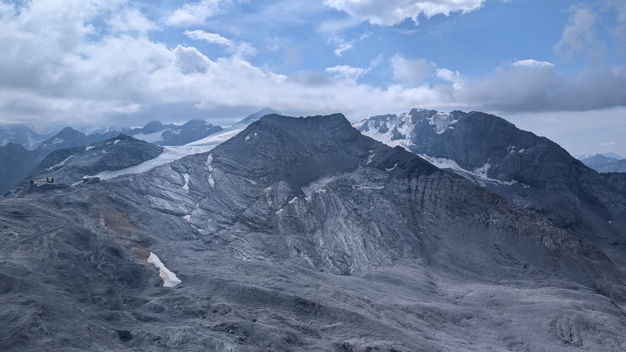
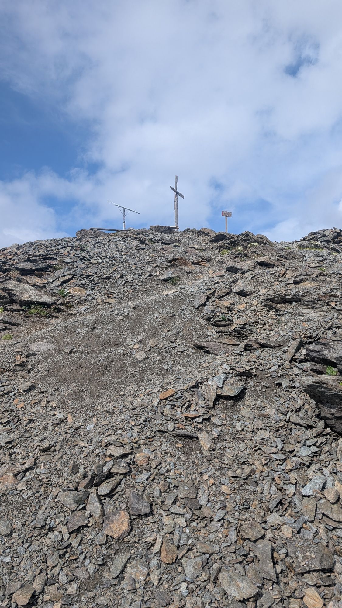
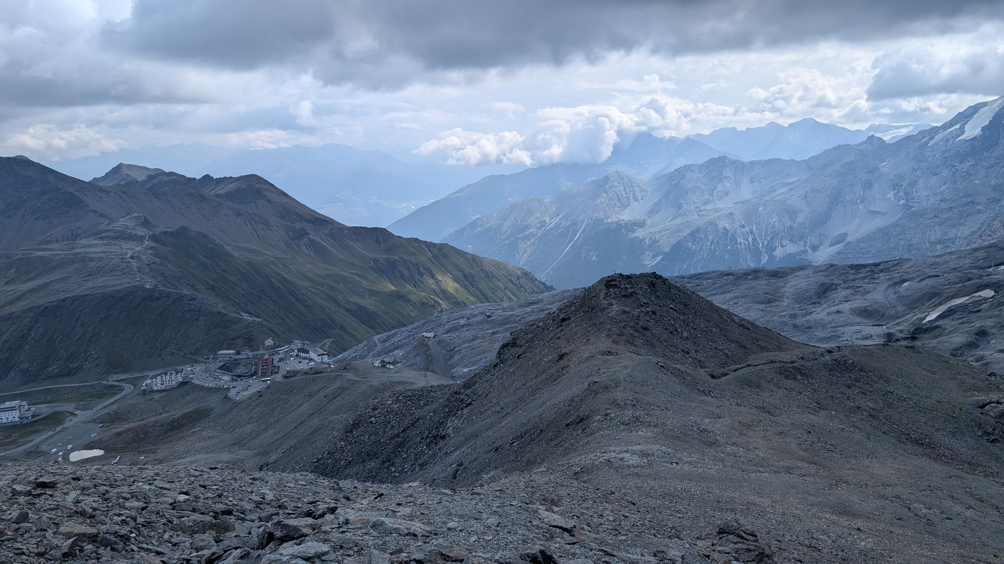
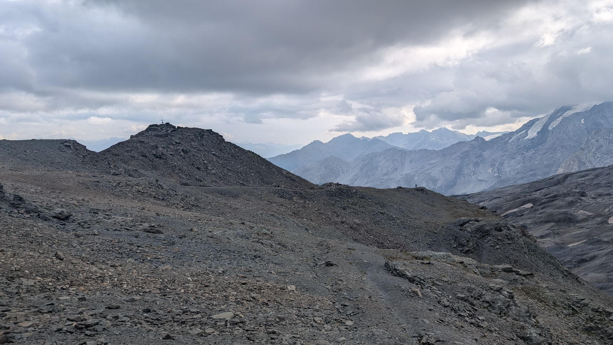
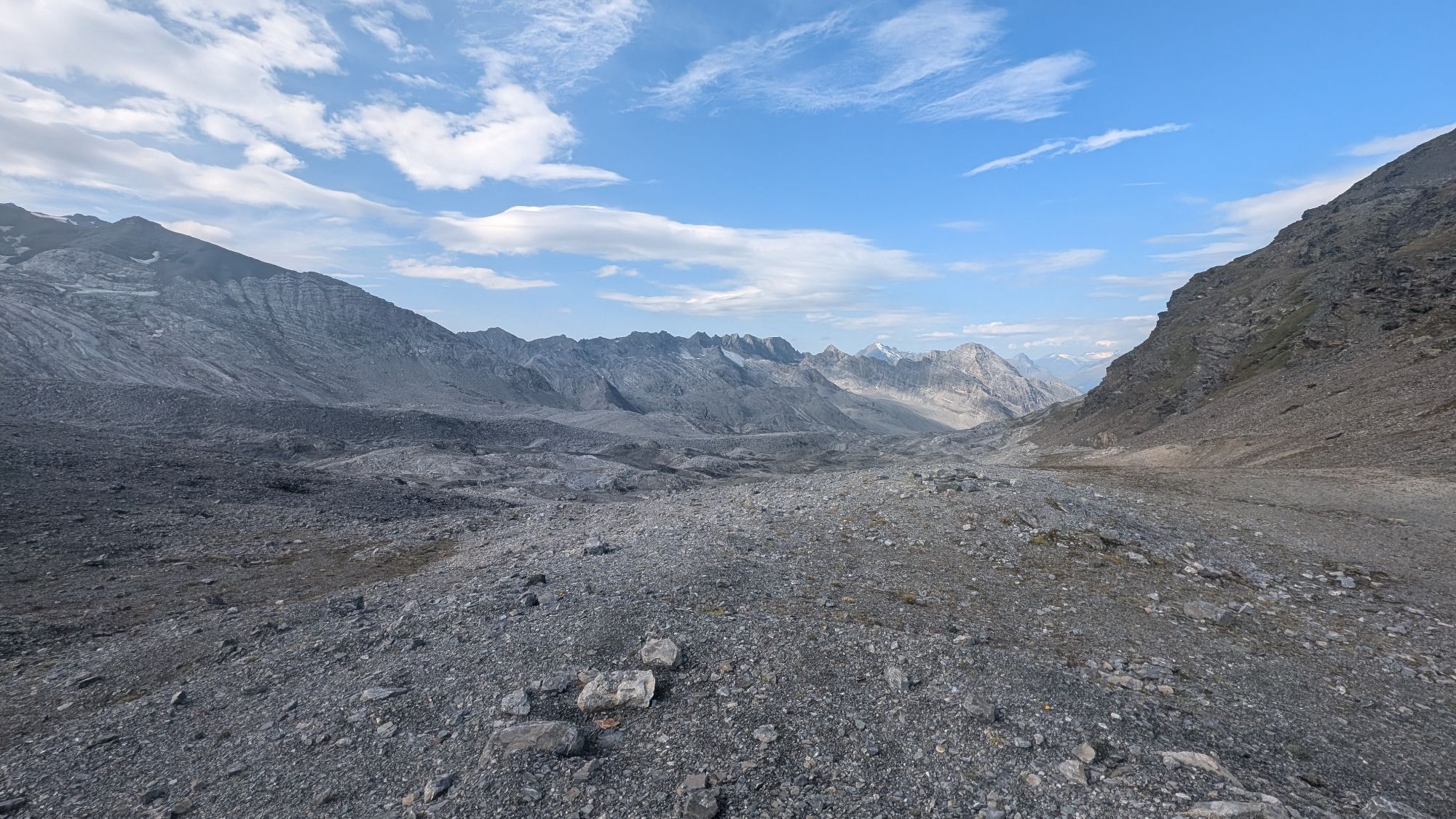
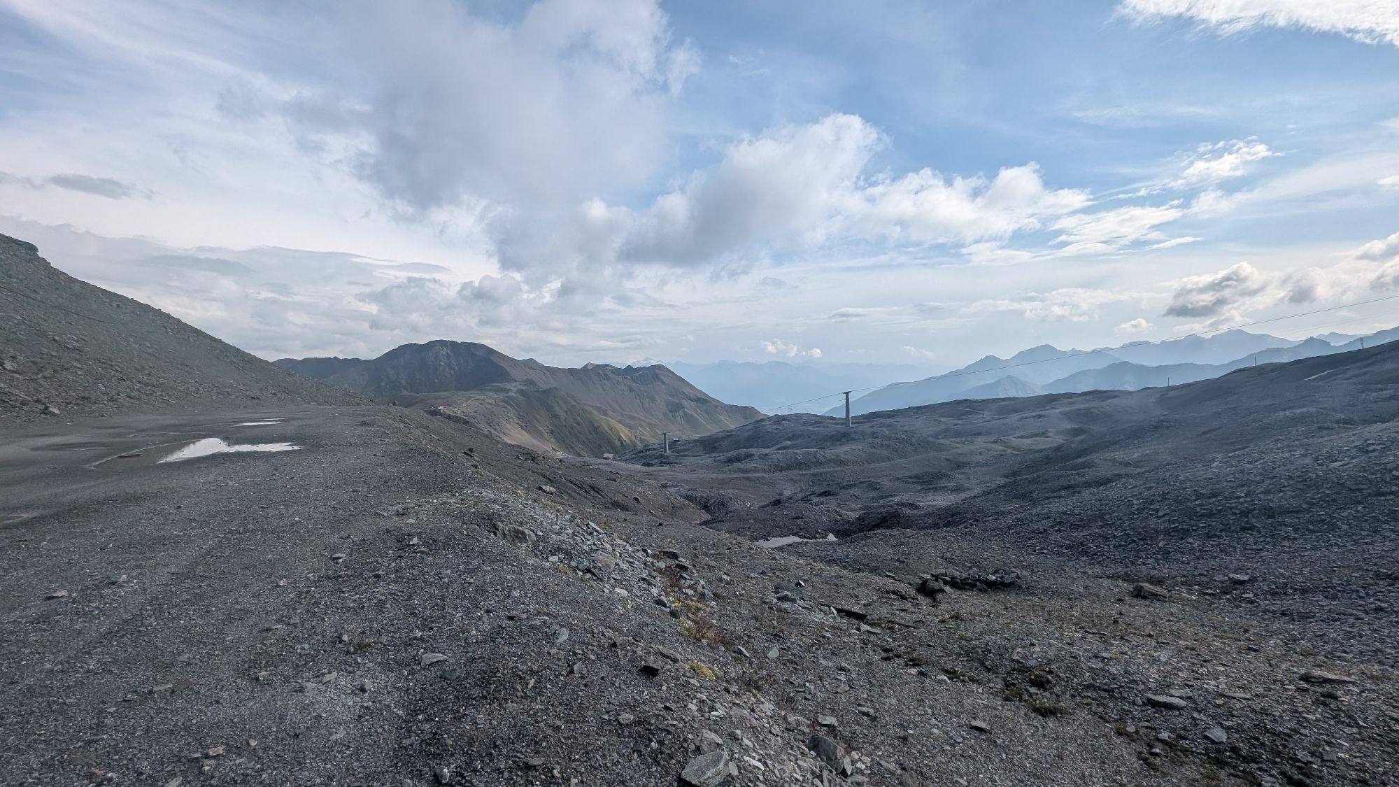
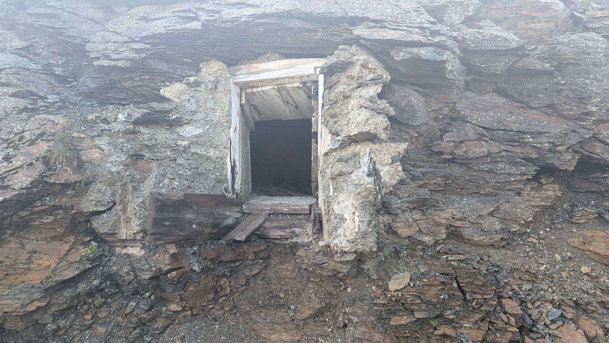
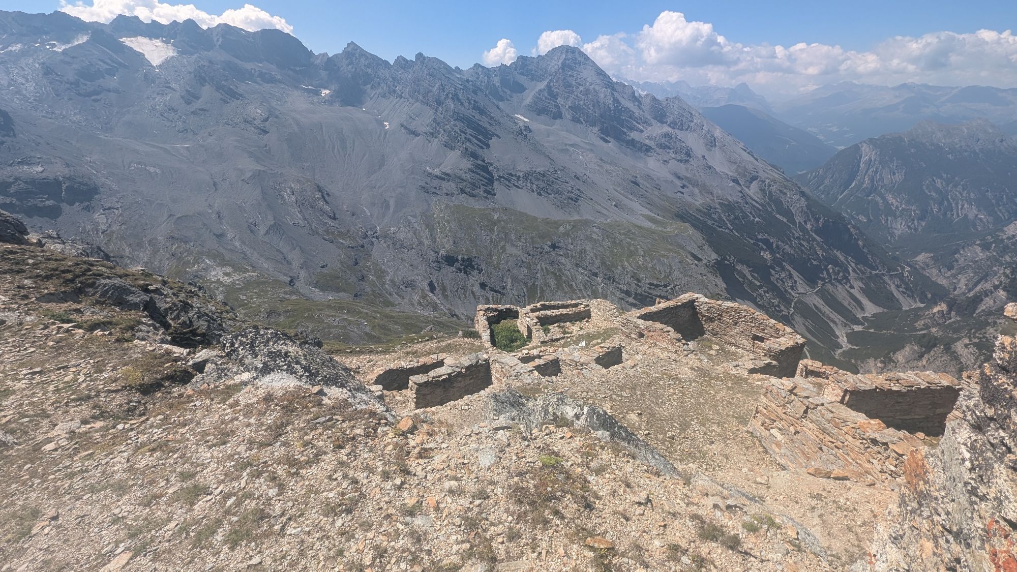
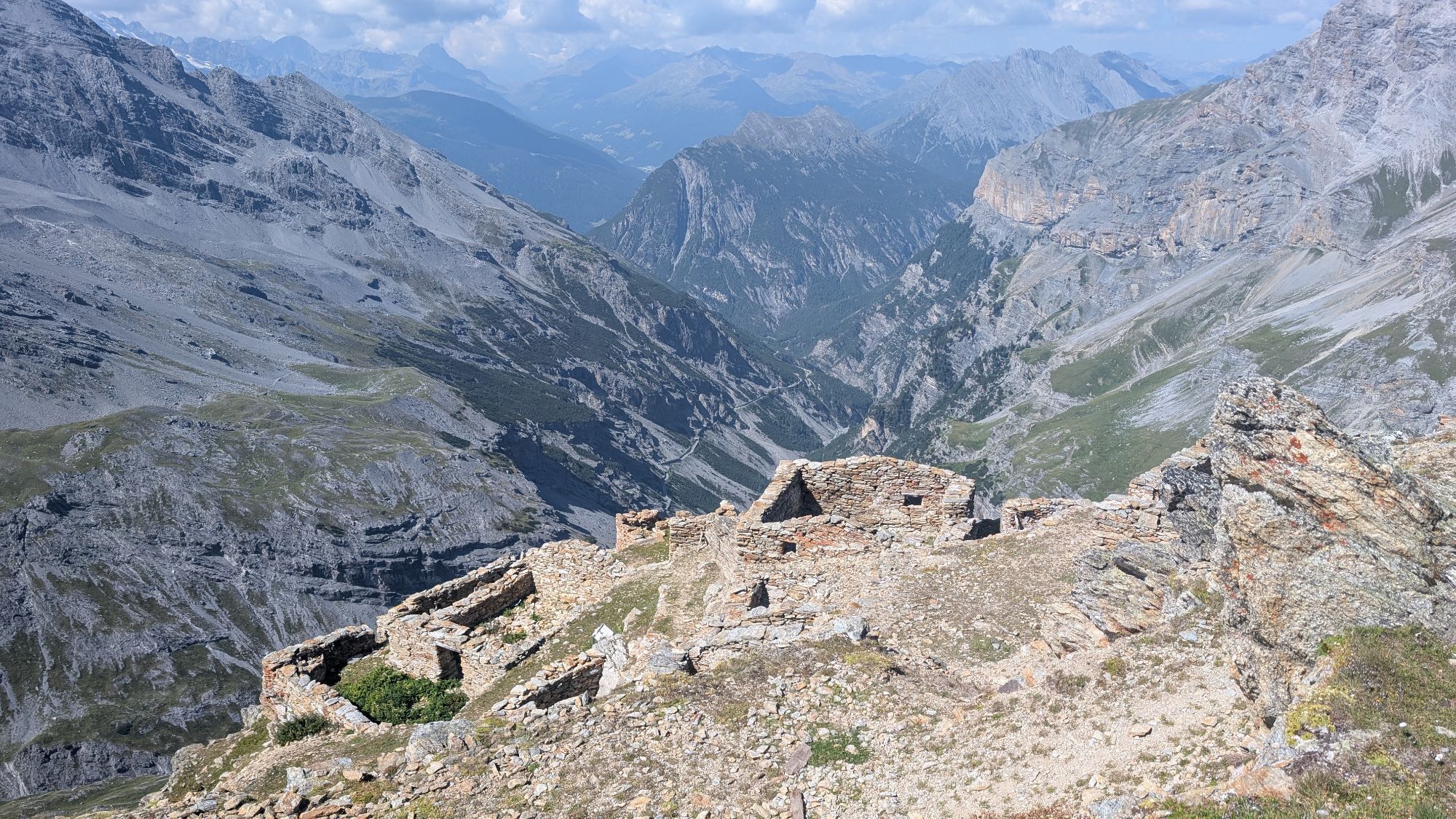
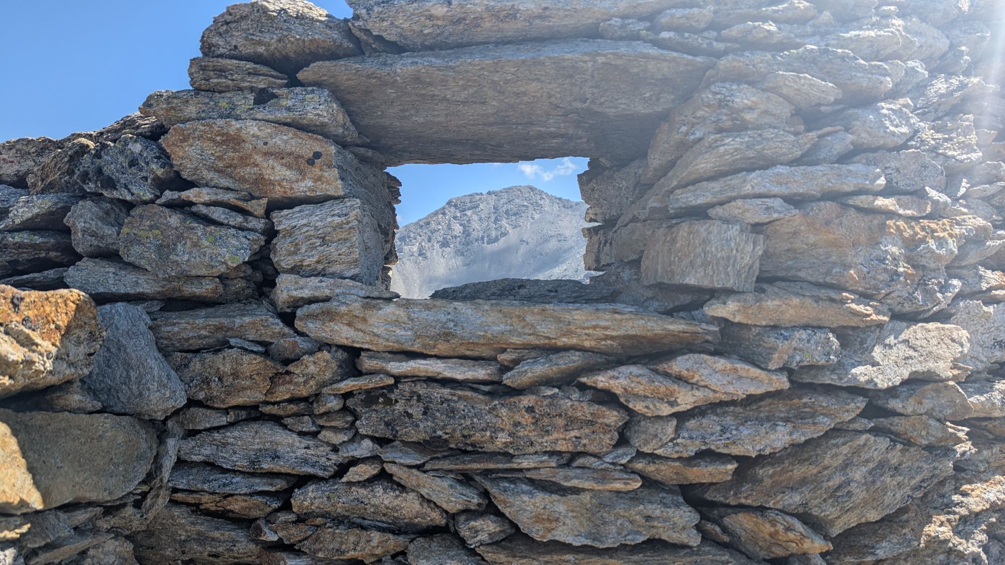
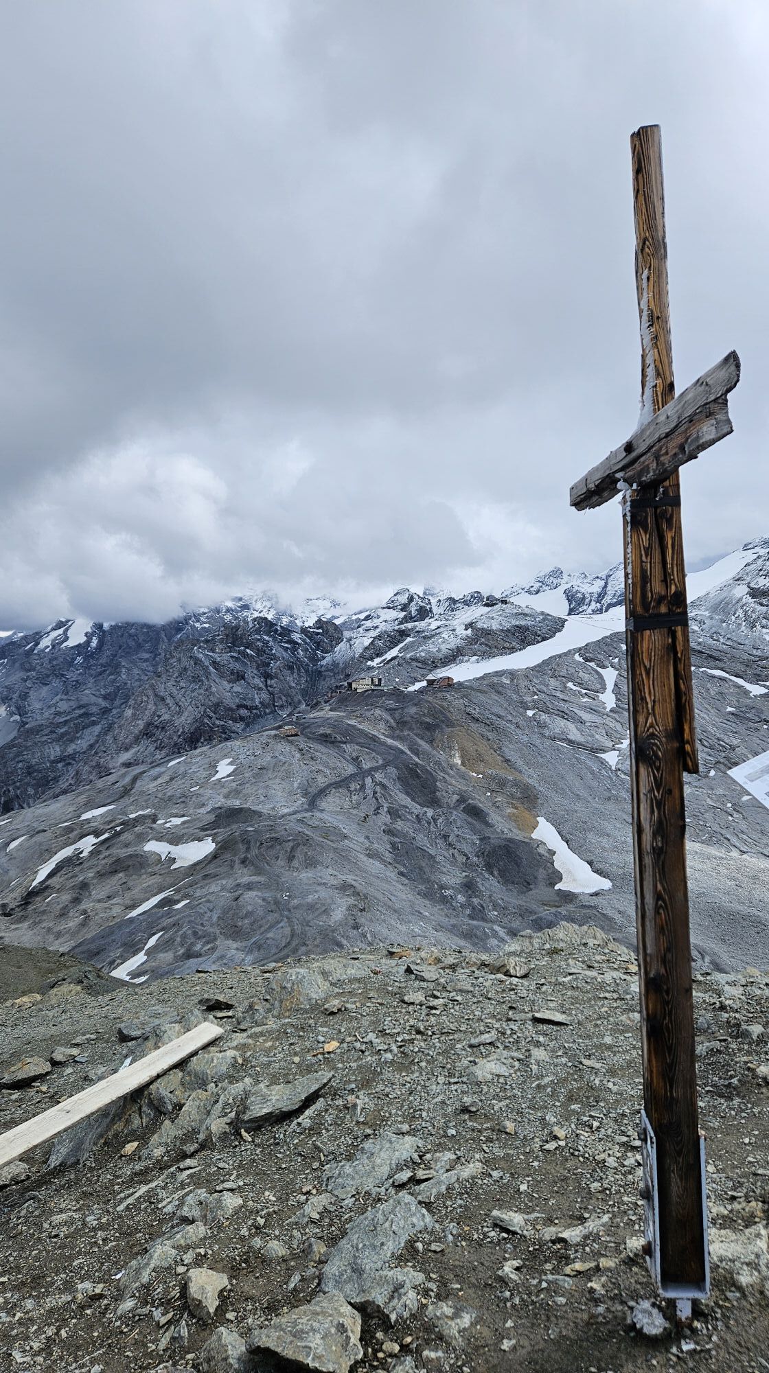
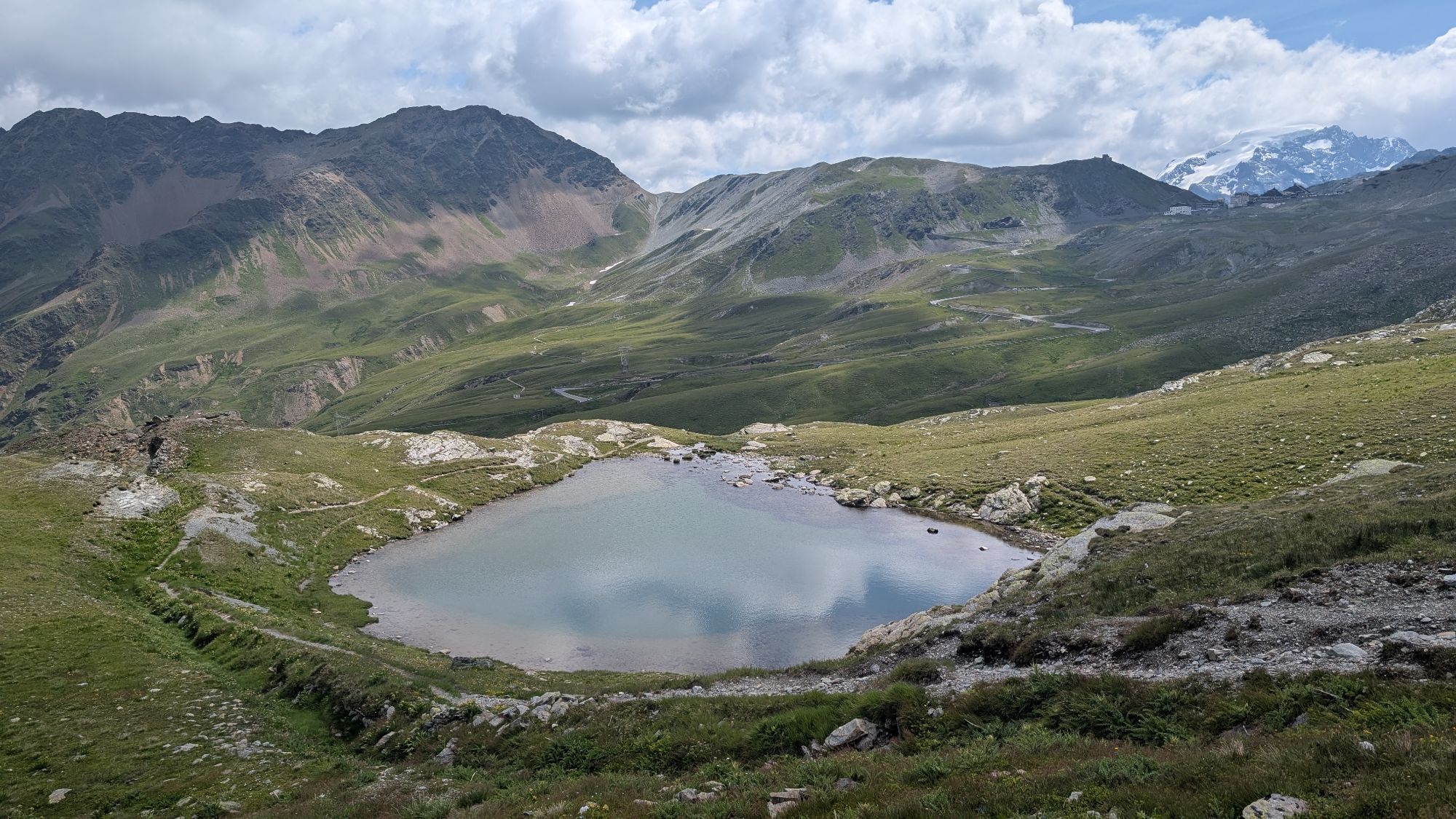
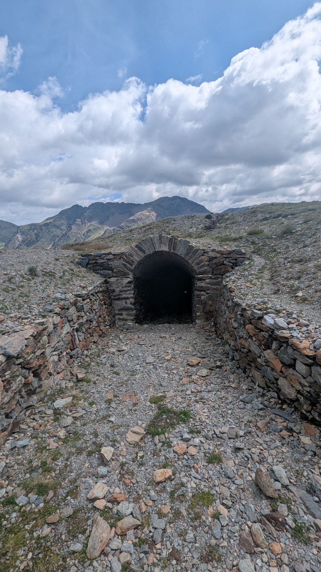
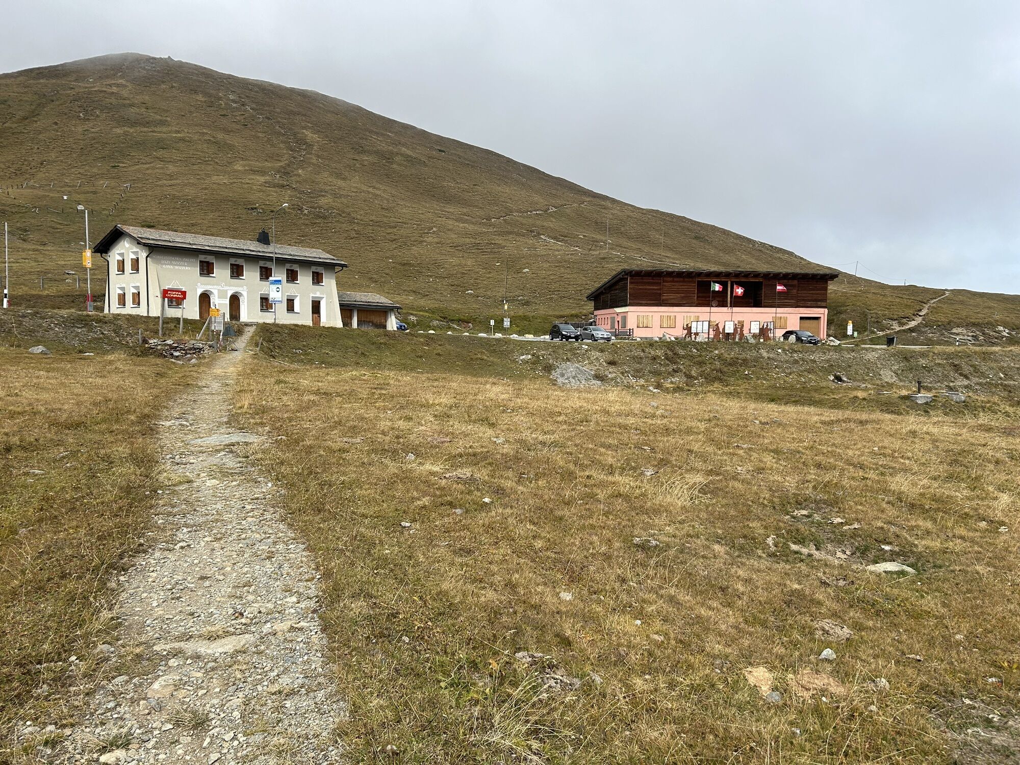
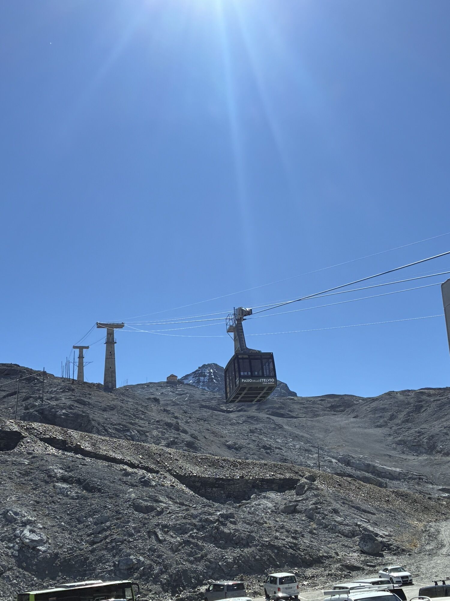
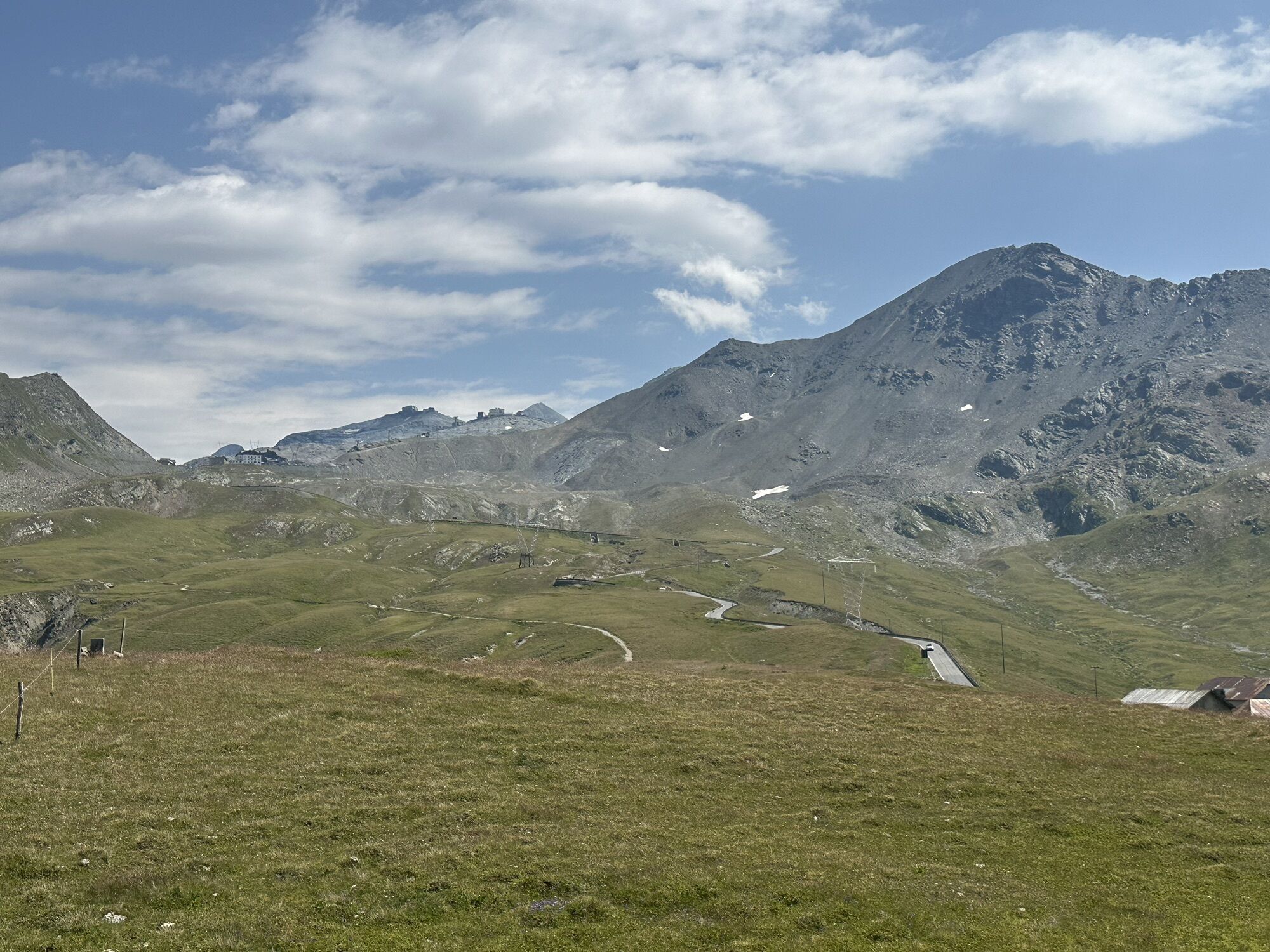
Italian mountain soldiers occupied Monte Scorluzzo (3094m) in May 1915. Already in July, this excellent lookout point was retaken by Austrian Riflemen. Along the mountain hiking trail from Stilfserjoch...
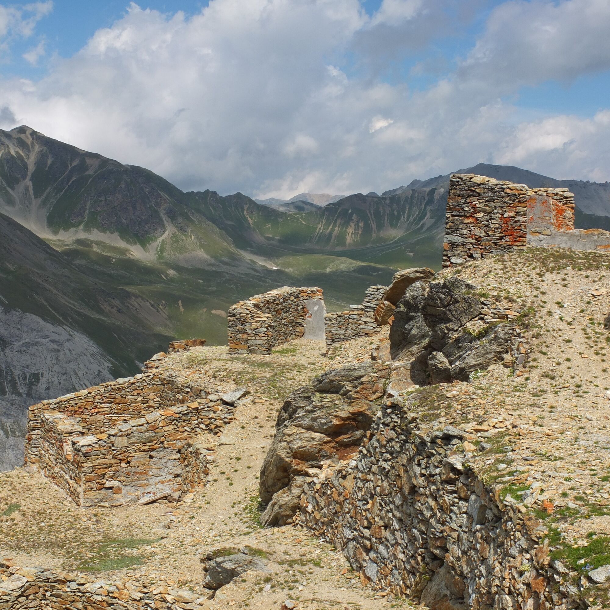
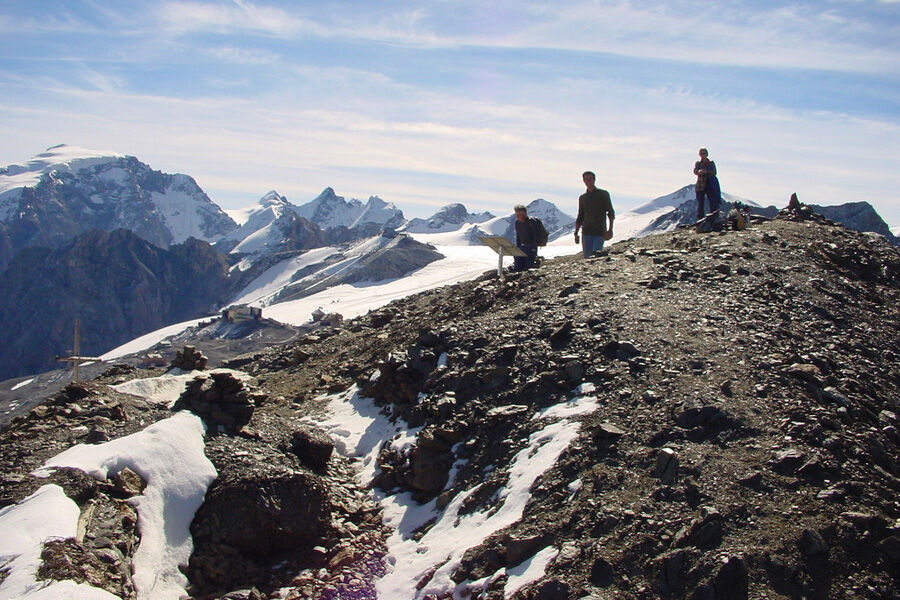
Italian mountain soldiers occupied Monte Scorluzzo (3094m) in May 1915. Already in July, this excellent lookout point was retaken by Austrian Riflemen. Along the mountain hiking trail from Stilfserjoch to the summit, we move among numerous and still well-preserved position systems tracing their tracks. The descent to Filone del Mot is somewhat exposed but very well passable, and often a curious chamois herd blocks the way further. Illustrative picture and text panels provide detailed and background information along the entire path, for which 5–7 hours walking time (without breaks) should be calculated.
Notes
The official hiking trail leads to the pass road, and there is no other way to return to the PostBus stop at the Umbrail Pass or at Stilfserjoch than along the road. The route can also be started at the Umbrail Pass, which then requires climbing up to Stelvio/Stilfserjoch. Best enjoy this hike with a guide who can also provide you with many background information on the history. Information by phone at the Engadin Val Müstair guest information, +41 81 861 88 40
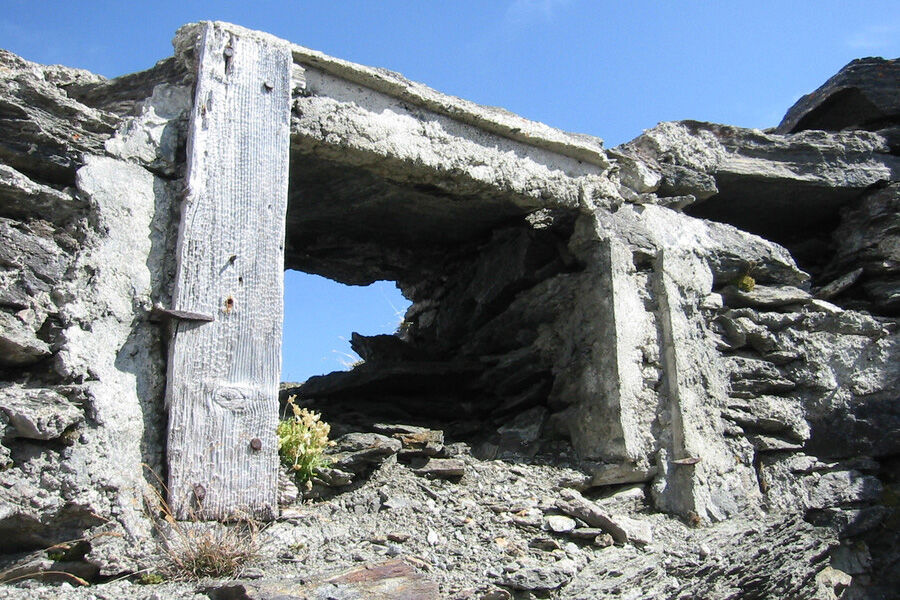
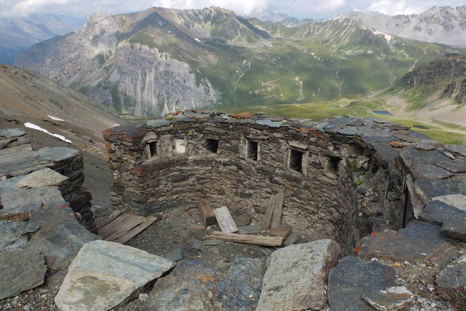
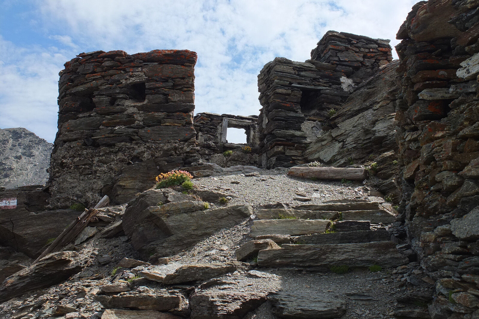
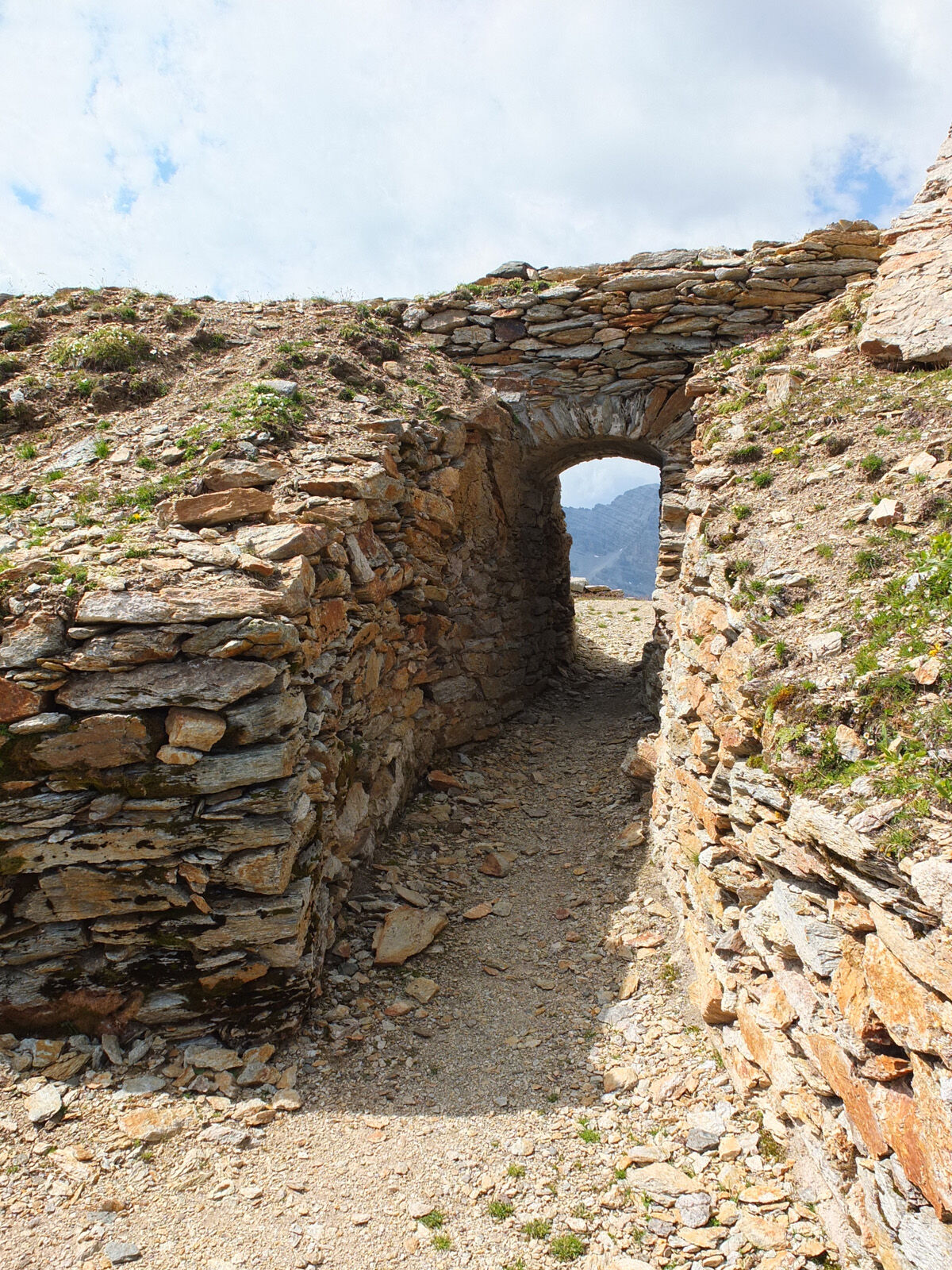

From the PostBus stop Stilfserjoch, the path leads to Passo delle Pratigiole
The mountain path continues right to the Small and the Great Scorluzzo (3094m)
Descent to Filone del Mot
Over the Piano di Scorluzzo and past Lago Alto onto the Stilfserjoch road
After a stretch on the Stilfserjoch road, branch off to the Umbrail Pass
Good footwear, rain and sun protection, drinking bottle, first aid kit.
From Filone del Mot to Lago Alto there is partly no path and no marking (Italian territory). In poor visibility, very good orientation skills are necessary.
The route was evaluated under favorable weather conditions; current weather conditions and forecasts must be strictly observed before starting the route.
Emergency numbers:
144 emergency call, first aid
1414 mountain rescue REGA
112 international emergency call
From the north: via Landquart – Klosters by car shuttle through the Vereina tunnel (Selfranga - Sagliains) or via the Flüela Pass to Zernez on H27. From Zernez on H28 into Val Müstair to Stilfserjoch (50 minutes travel time from Vereina south portal).
From east and south: via Reschen Pass (Nauders) on SS40 to Mals. From Mals on SS41 to Stilfserjoch
Hourly with the Rhaetian Railway (from Chur, Landquart/Prättigau or from the Upper Engadin) to Zernez station
Continue hourly by PostBus (from Zernez or Mals) to the PostBus stop Stilfserjoch/Stelvio
Free parking at the Umbrail Pass and at Stelvio/Stilfserjoch

Webové kamery z prohlídky

Oblíbené prohlídky v okolí
- 3.7
Düsseldorfer Hütte 2721m
středníTuristika 4.14 km - 3.7
Payerhütte 3020m
Turistika 6.98 km - 4.4
Sonnenaufgang auf der Rötelspitze im Nationalpark Stilfserjoch
Turistika 2.02 km - 5.0
Wanderung/Aufstieg zur Payerhütte
světloTuristika 15.9 km - 5.0
Ortler über Meraner Weg (vom Tal/Trafoi)
heavyVysokohorská turistika 11.9 km - 4.0
Wanderung zum Hinteren Schöneck
světloTuristika 13.2 km - 4.5
Ortler – Normalweg
heavyVysokohorská turistika 7.30 km - 5.0
Ortler über Hintergrat
heavyVysokohorská turistika 8.03 km - 3.5
Watervallen wandeling
světloTuristika 4.95 km - 3.4
Sta.Maria, Prà da Vau - Lai da Rims - Alp Sot - Prà da Vau
heavyTuristika 14.7 km
Pěší turistika a stopování


Nenechte si ujít nabídky a inspiraci pro vaši příští dovolenou
Vaše e-mailová adresa byl přidán do poštovního seznamu.





