






Alta Via della Valmalenco stage 7
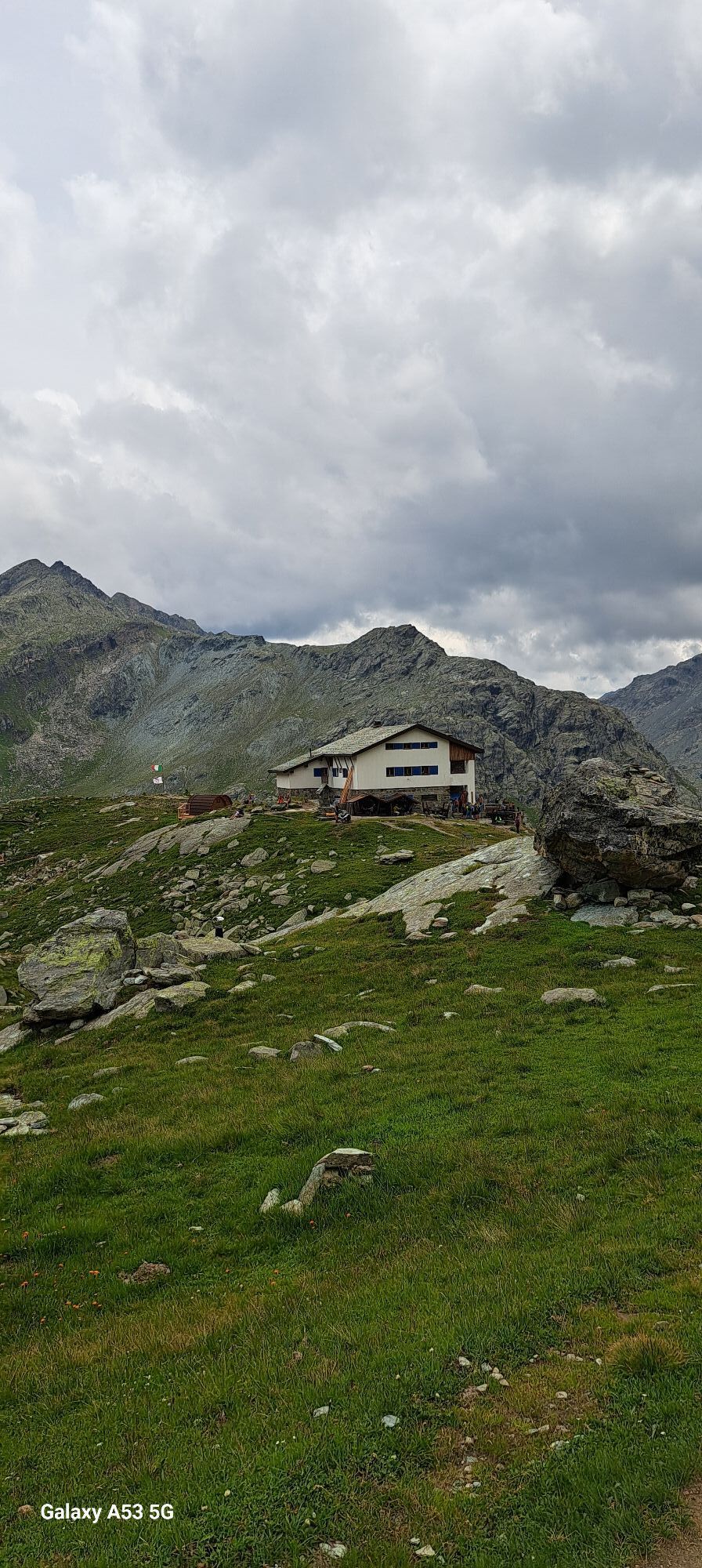
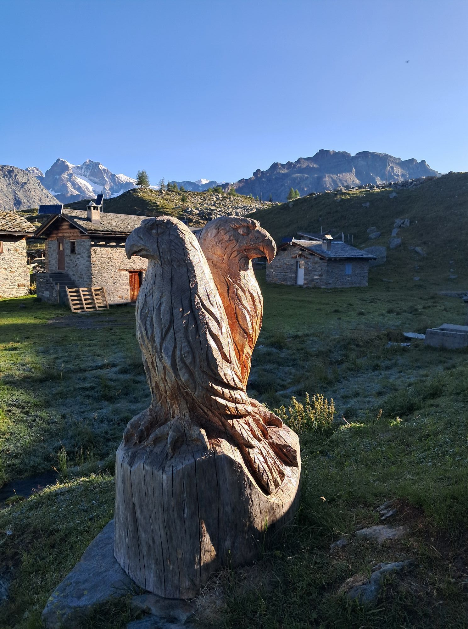
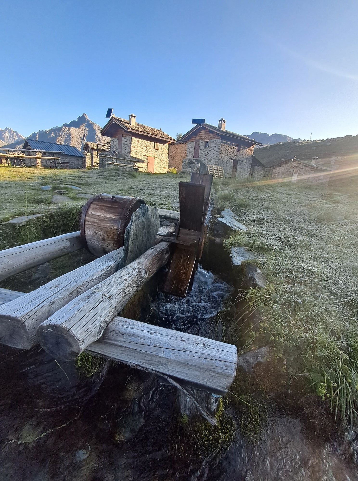
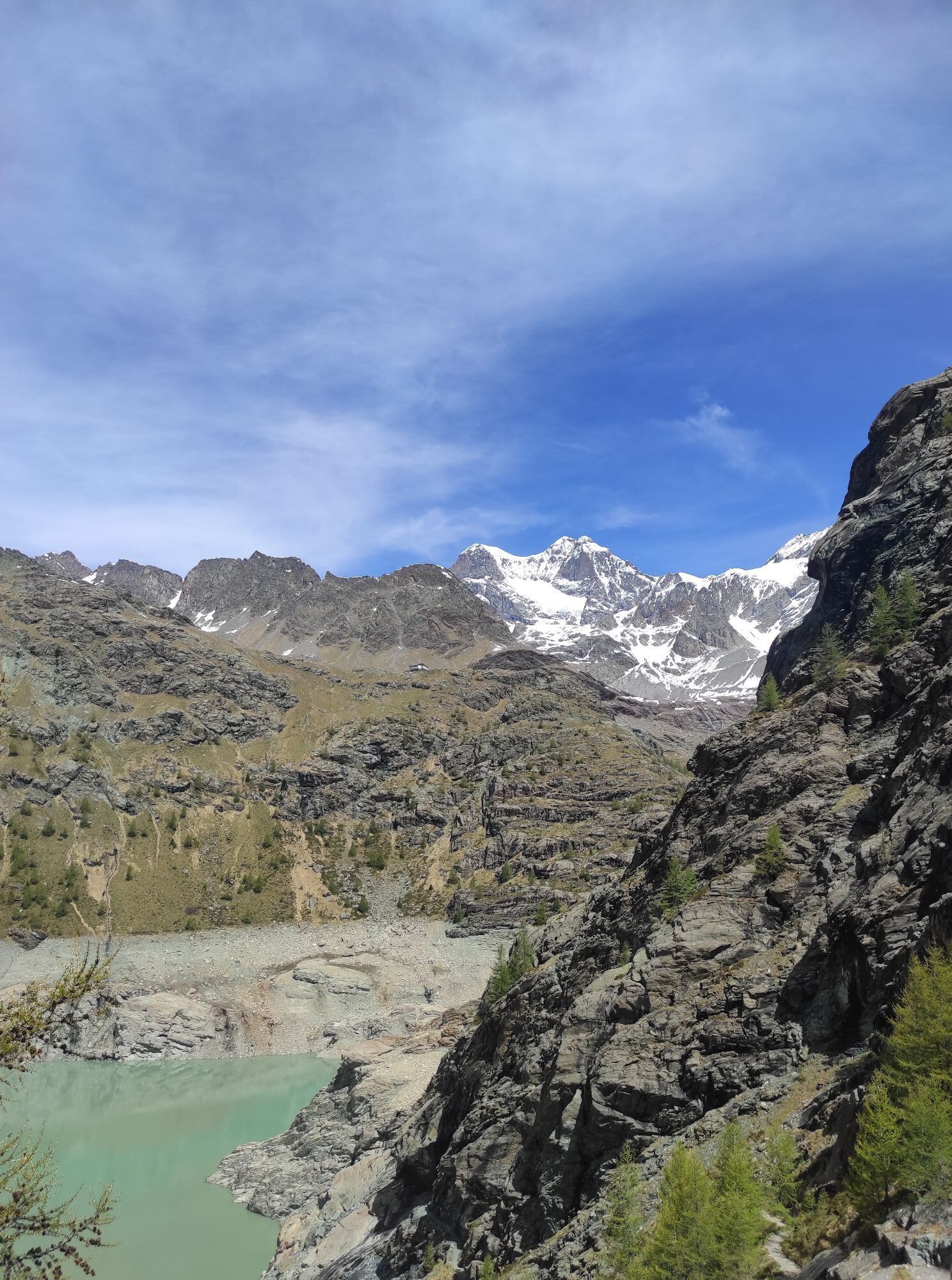
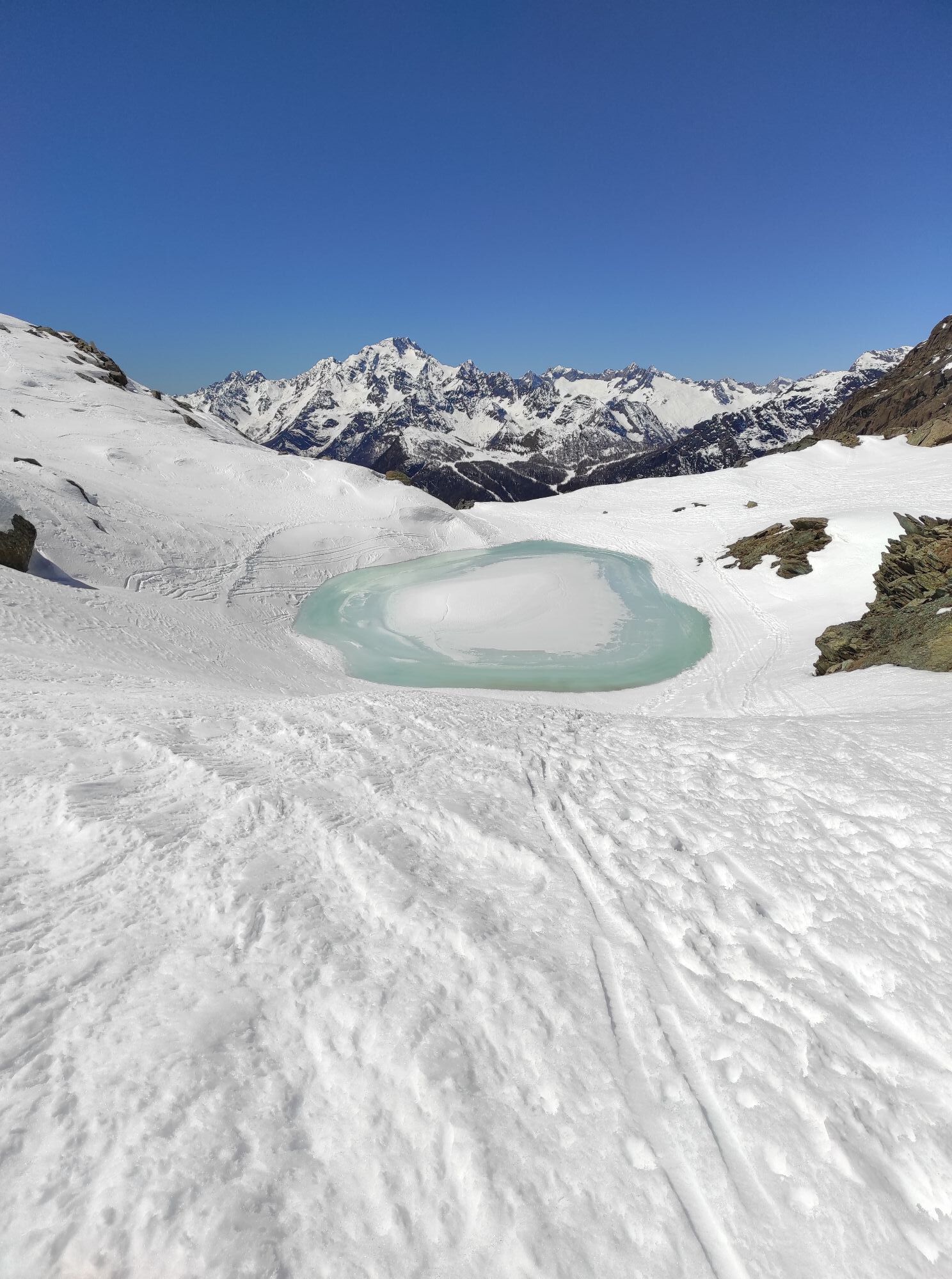
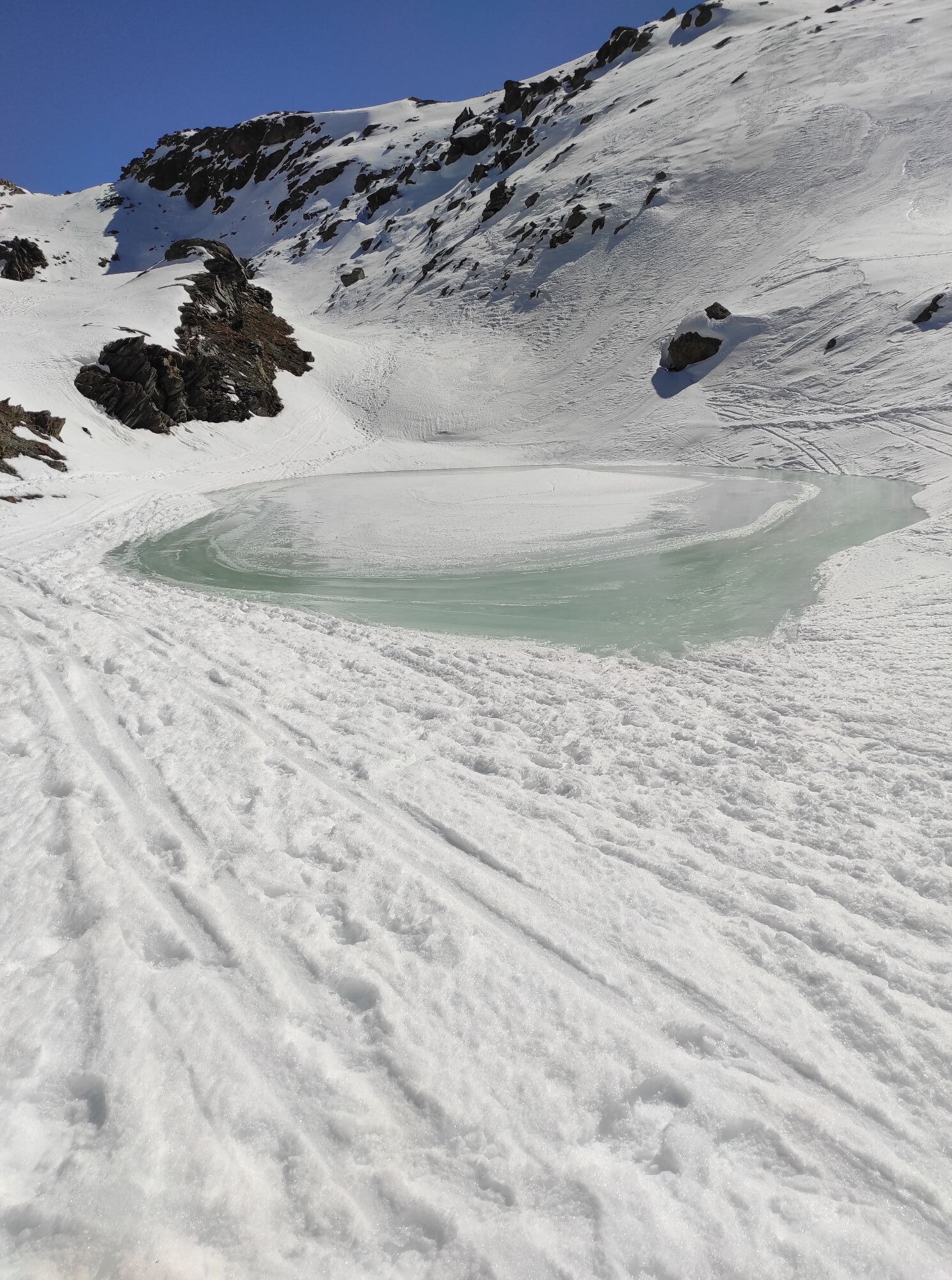
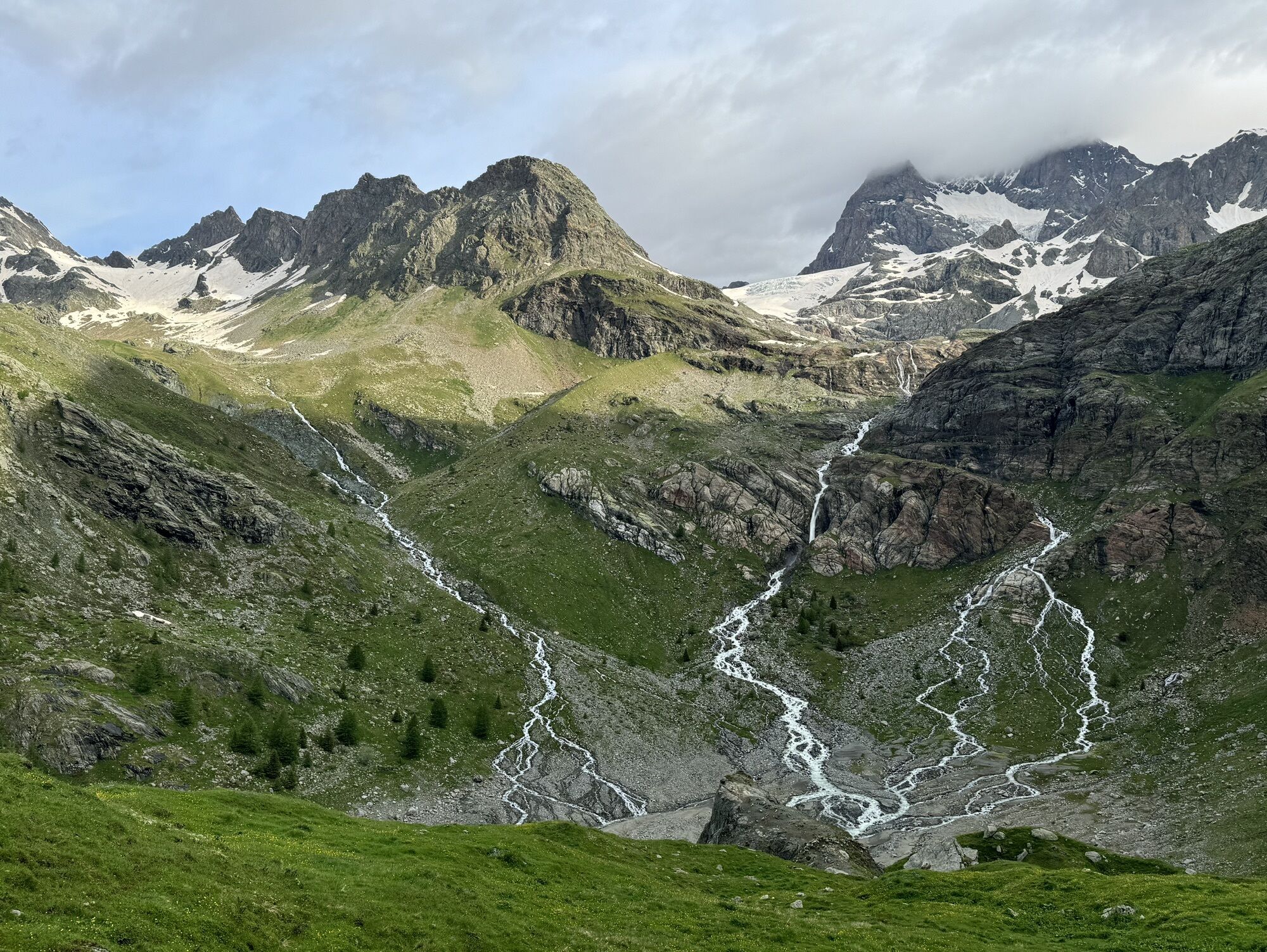
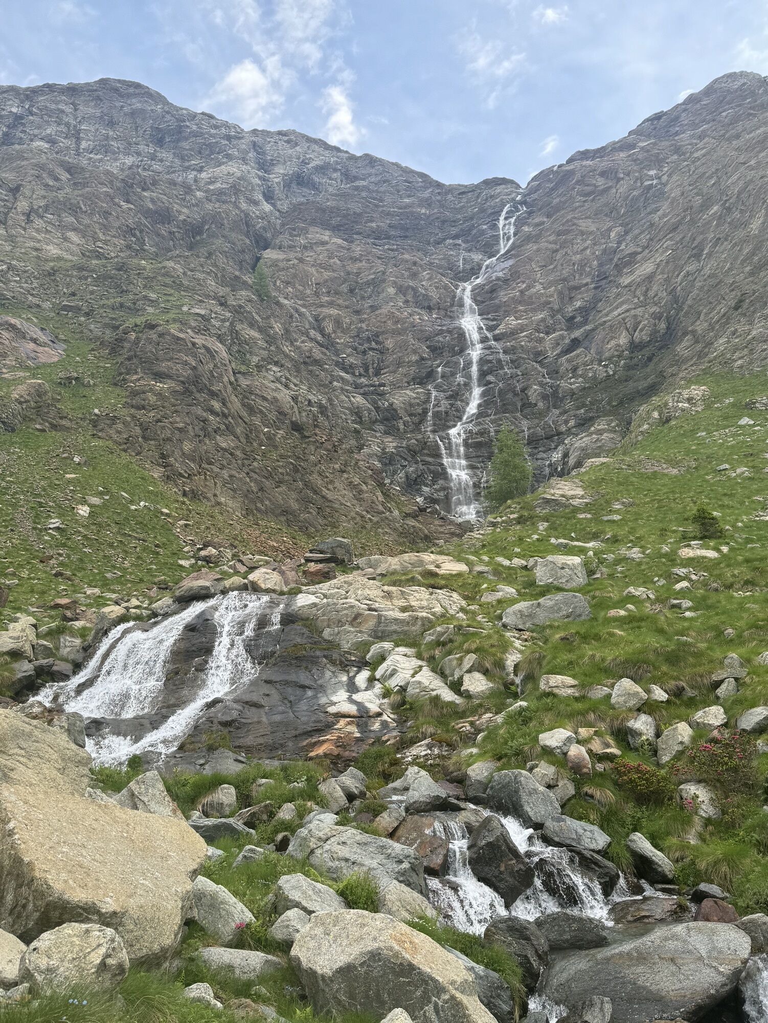
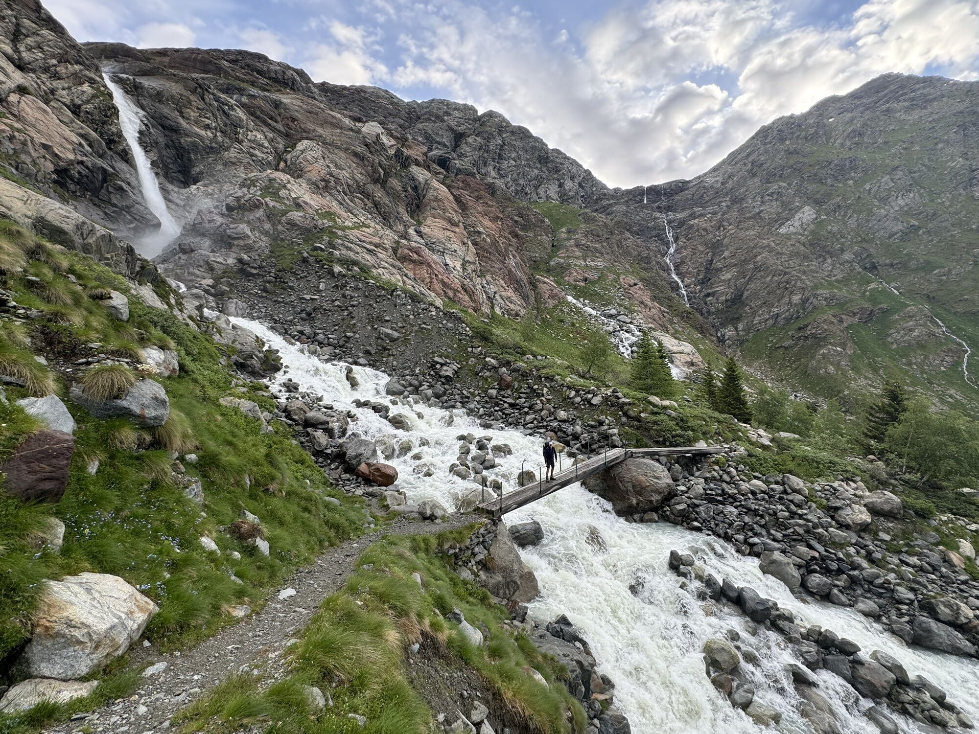
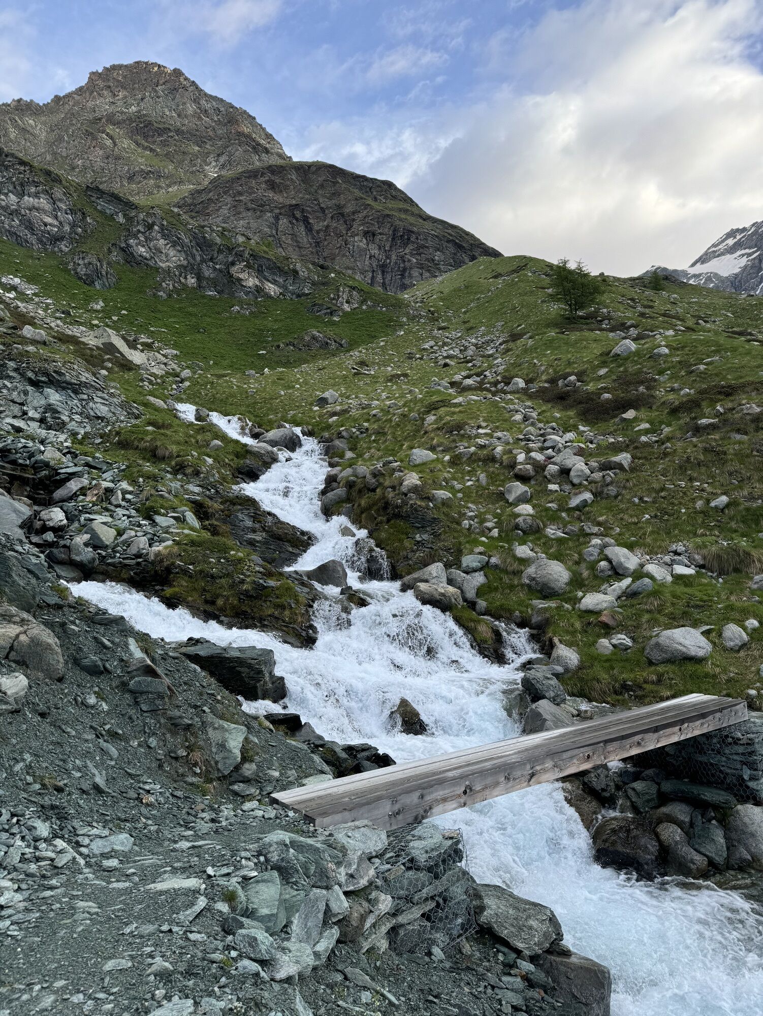
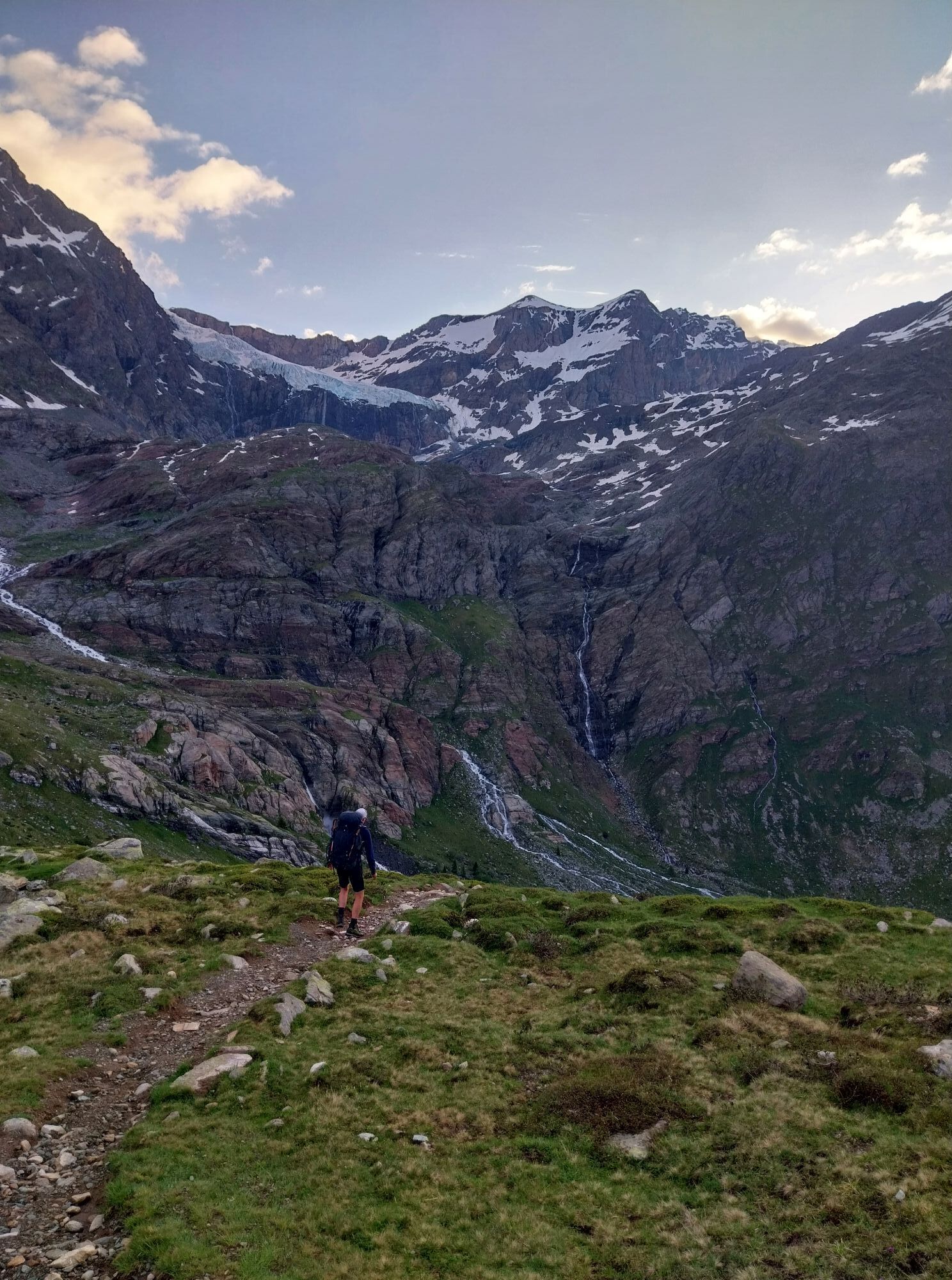
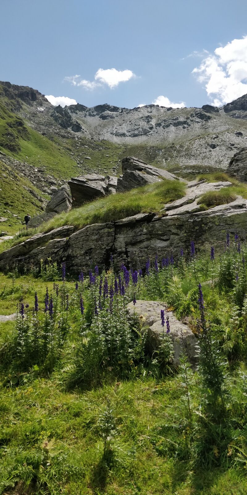
Stage of naturalistic interest and considerable length, but without major difficulties; from Rifugio Bignami you cross the cirque with glacial streams (bridges) up to Alpe Gembrè and from there on a wide...
Stage of naturalistic interest and considerable length, but without major difficulties; from Rifugio Bignami you cross the cirque with glacial streams (bridges) up to Alpe Gembrè and from there on a wide mule track you reach the huts of Alpe Val Poschiavina. After ascending the whole suggestive and peaceful valley, the most demanding sections are met on the climb to the passes where you can enjoy a beautiful view of Val Poschiavo and the peaks of the Ortles-Cevedale and Adamello groups. From Passo Campagneda you descend towards the meadows of the homonymous alpine pasture encountering a series of pleasant small lakes before turning southwest towards Alpe Prabello and Rifugio Cristina. The described route follows a variant section up to Alpe di Val Poschiavina; the base route, of similar length and duration, includes descending to the Gera dam at 2100m.
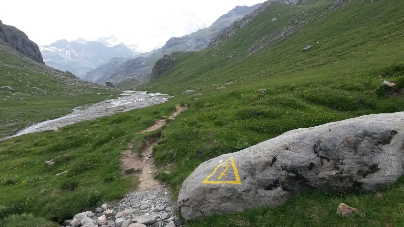
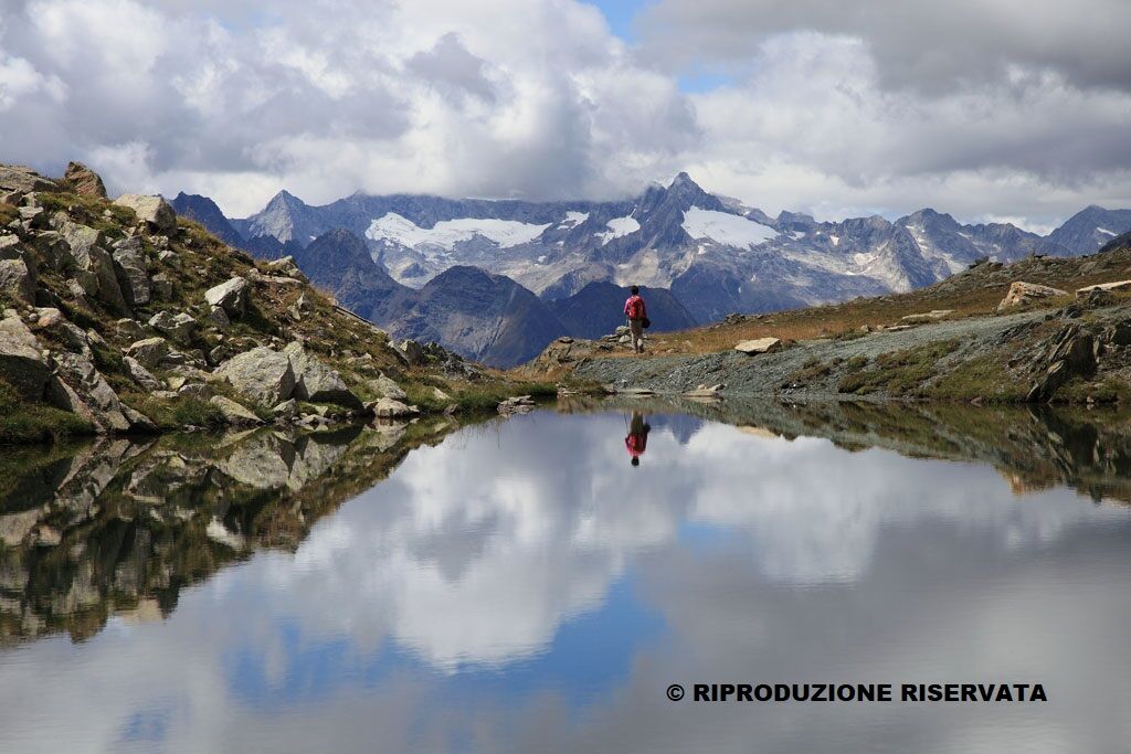
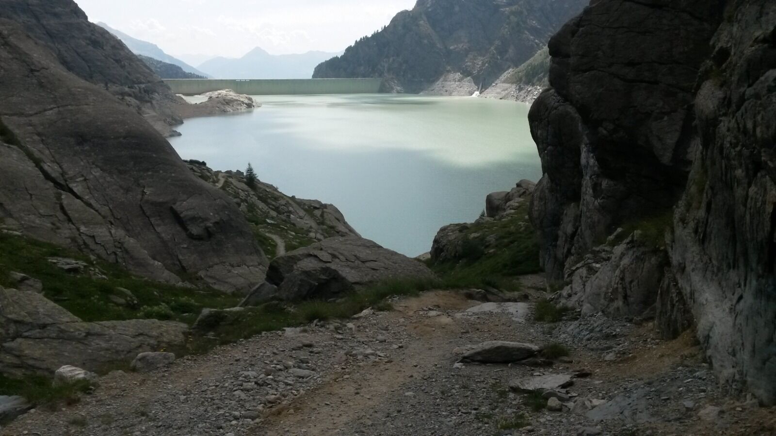
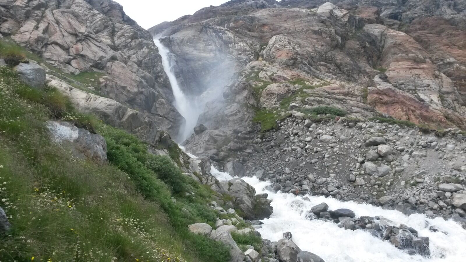
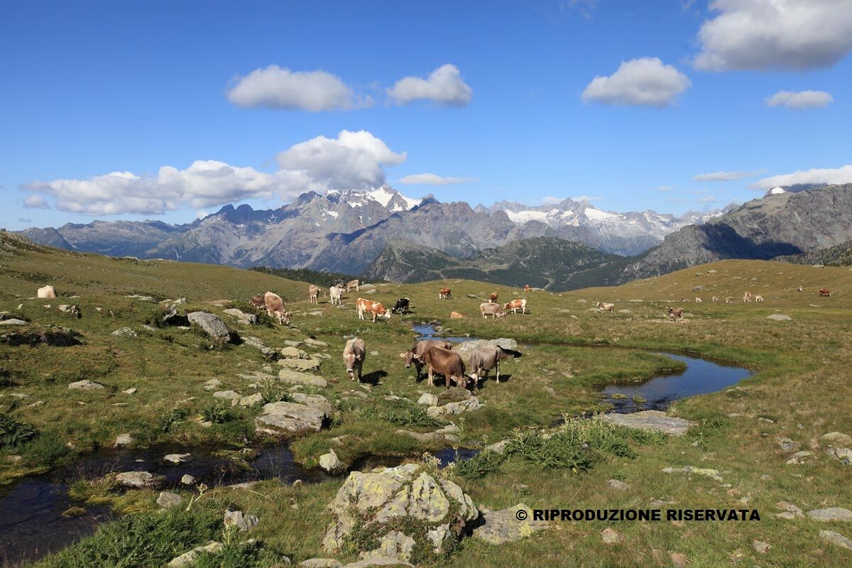
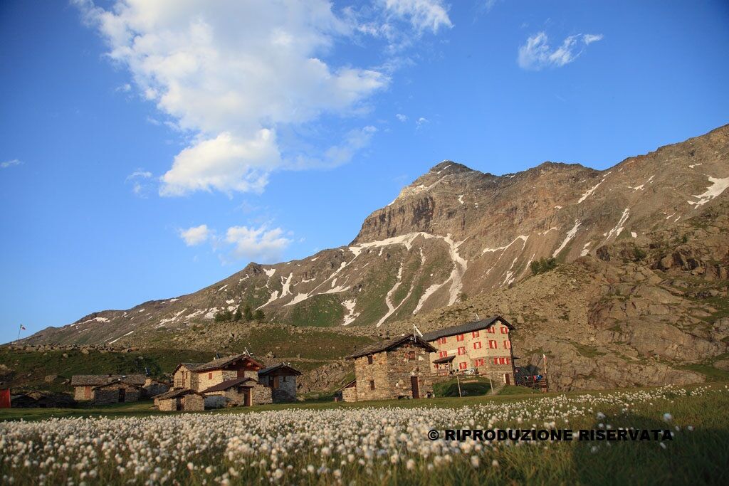

Val Poschiavina; Passo d'Ur; Passo di Campagneda; Laghetti di Campagneda; Rifugio Cristina
Mountain backpack with all the essentials for trekking
Oblíbené prohlídky v okolí
-
4.7
Diavolezza - Munt Pers
světloTuristika 3.82 km -
5.0
Morteratsch station - Boval Hut
středníTuristika 10.5 km -
5.0
Mountain hike to Lagh da Saoseo
heavyTuristika 15.0 km -
4.8
Morteratsch Glacier route
světloTematická stezka 2.88 km -
5.0
Lagalb - Val Minor - Motta Bianca - Lagalb
středníTuristika 9.80 km -
4.2
Piz Palü (3.905m) – Hochtour
středníVysokohorská turistika 13.4 km -
4.5
Diavolezza - Lej da Diavolezza
středníTuristika 6.22 km -
4.8
Val Roseg - Tschierva Hut
středníTuristika 5.12 km -
5.0
Ospizio Bernina Station - Alp Grüm (-Cavaglia)
světloTuristika 4.97 km -
Morteratsch (SchweizMobil route 314)
středníZimní turistika 5.98 km

Pěší turistika a stopování


Nenechte si ujít nabídky a inspiraci pro vaši příští dovolenou
Vaše e-mailová adresa byl přidán do poštovního seznamu.





