





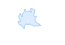

Alta Via della Valmalenco
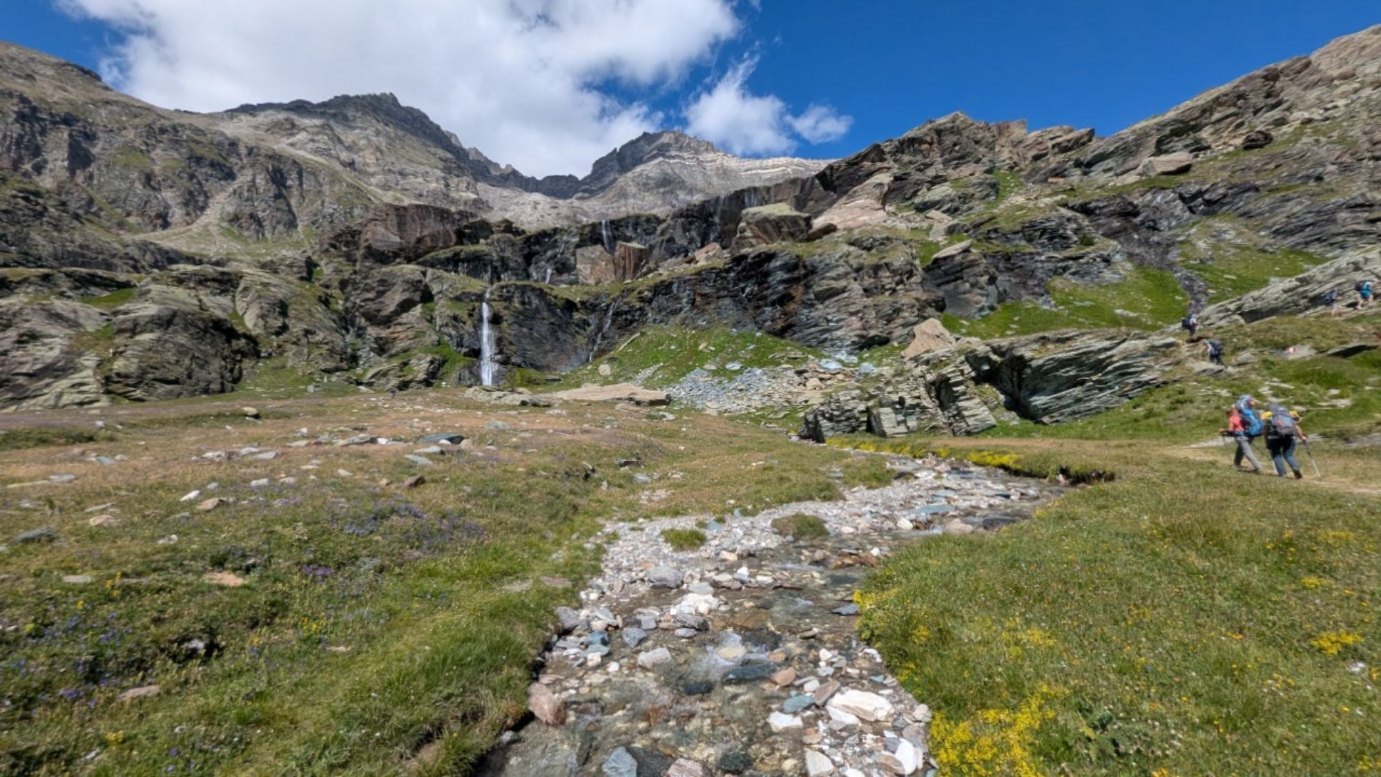
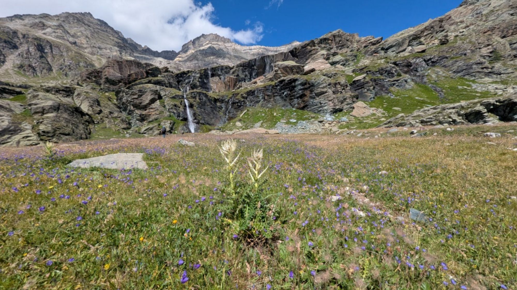
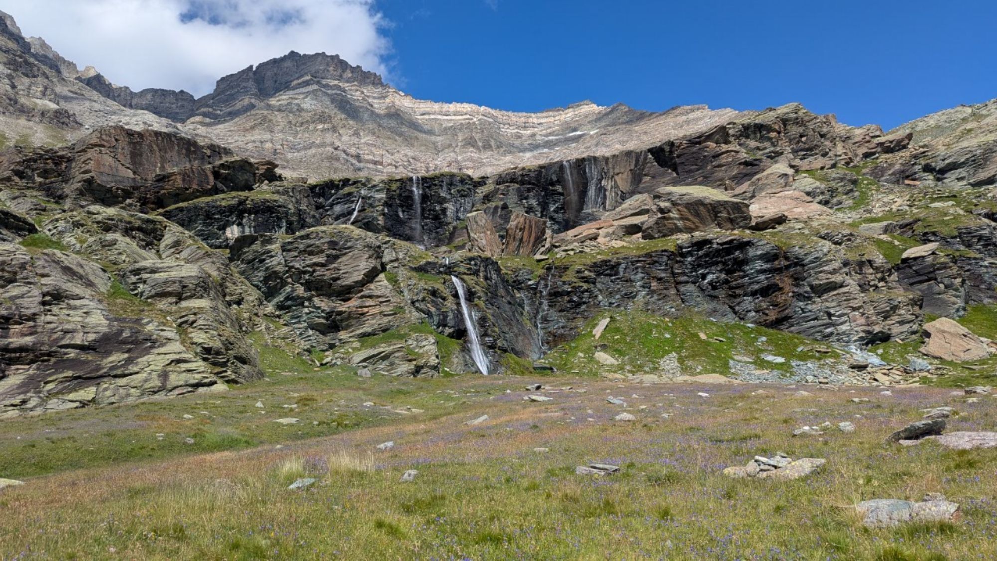
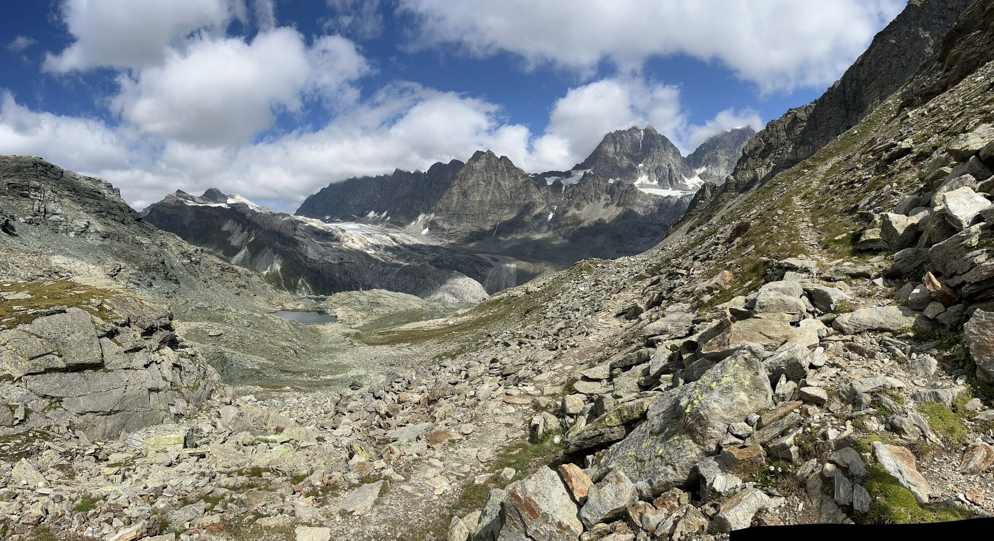
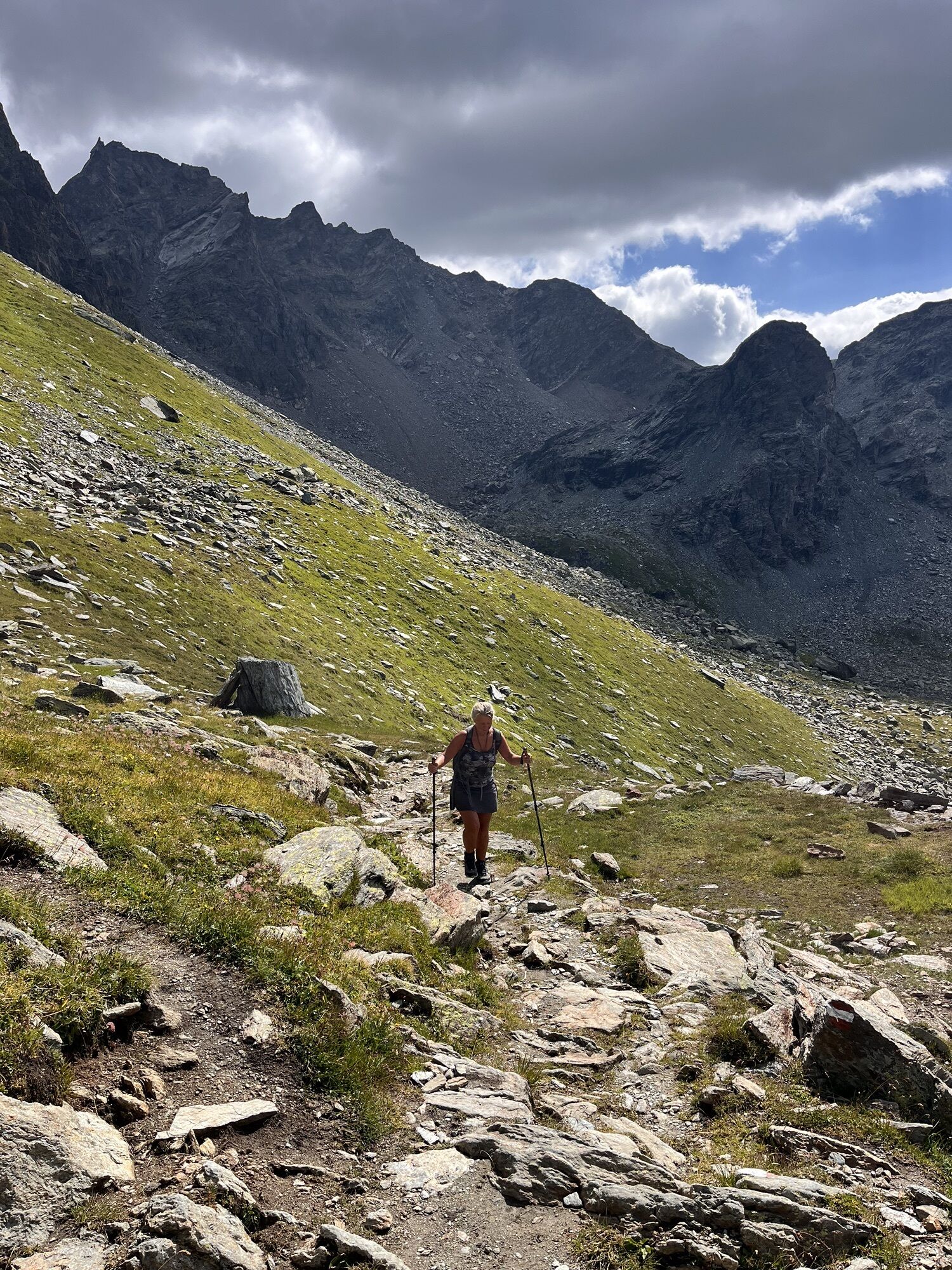
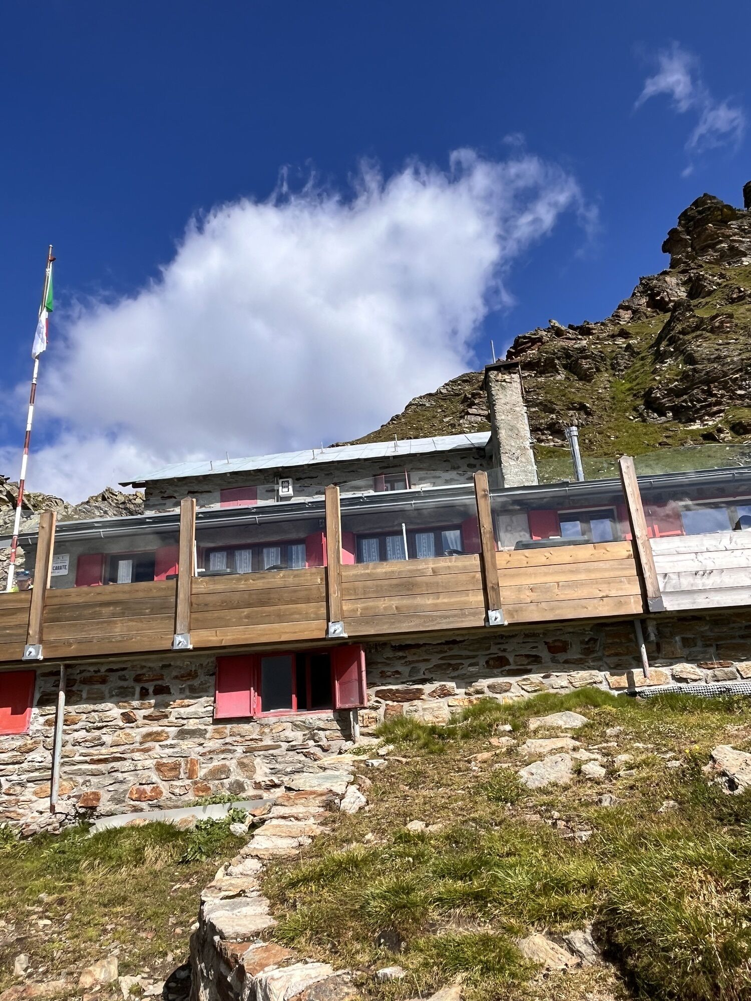
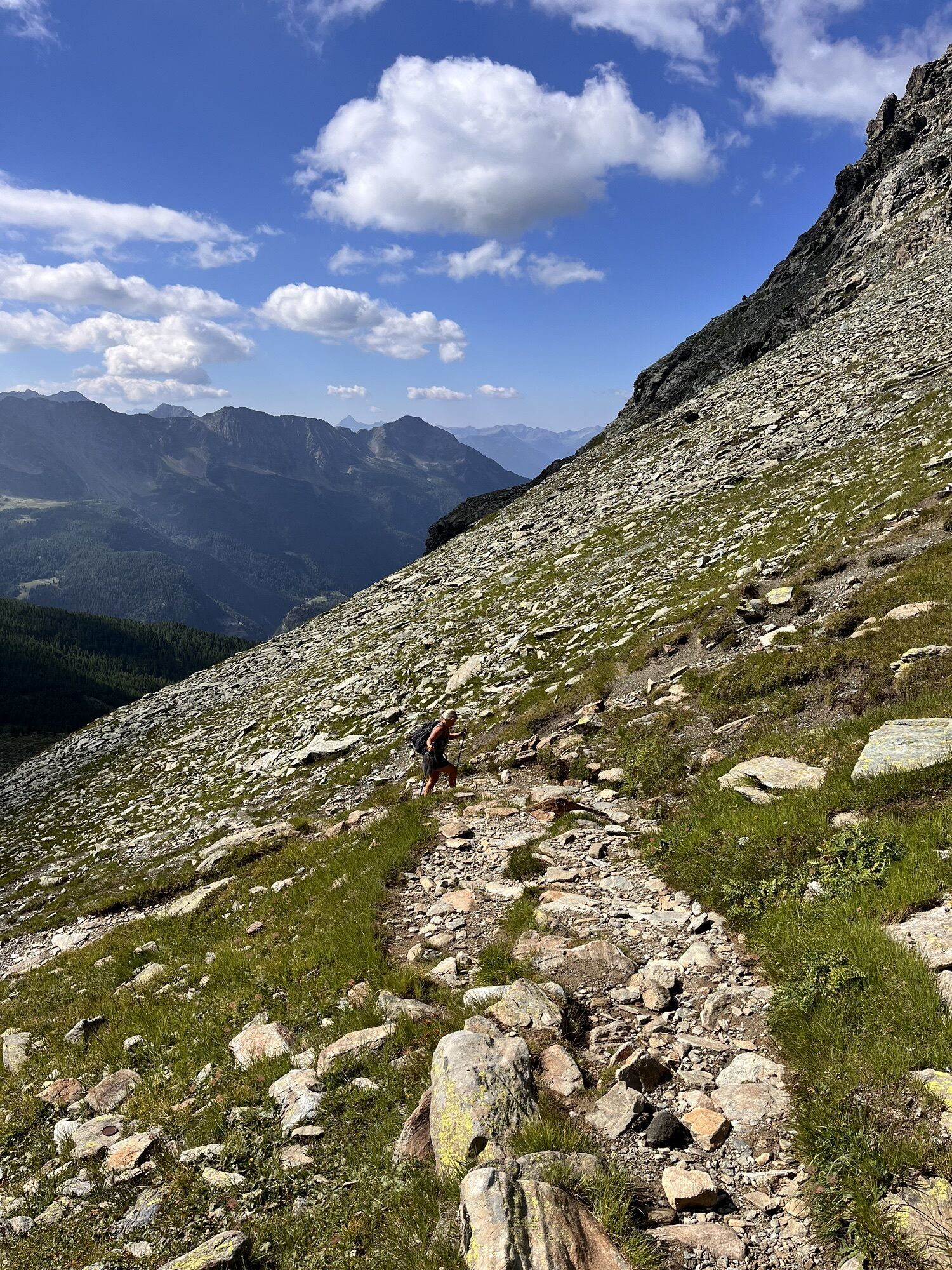
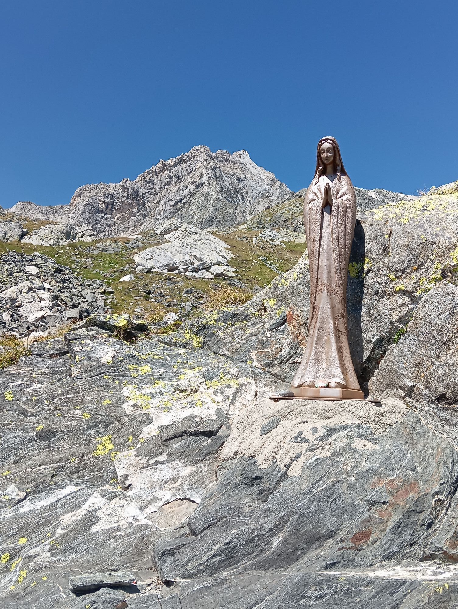
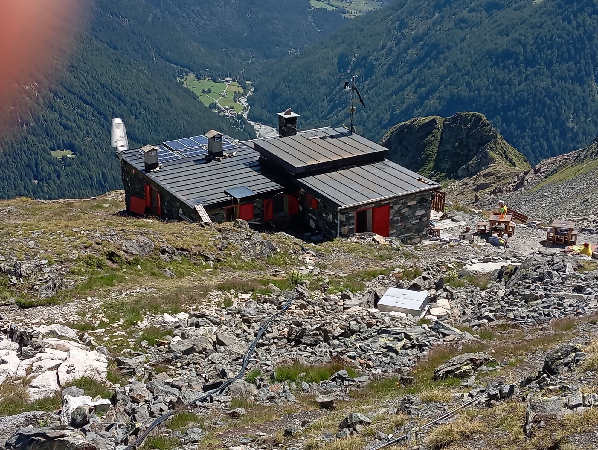
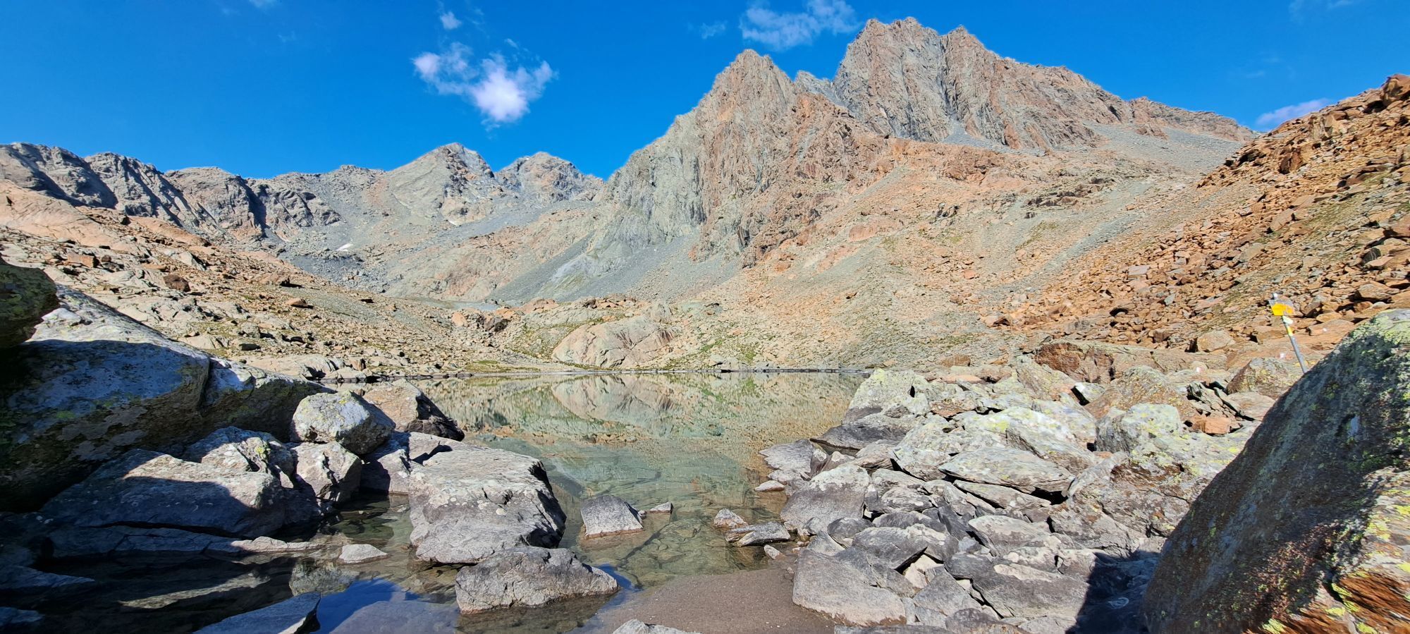

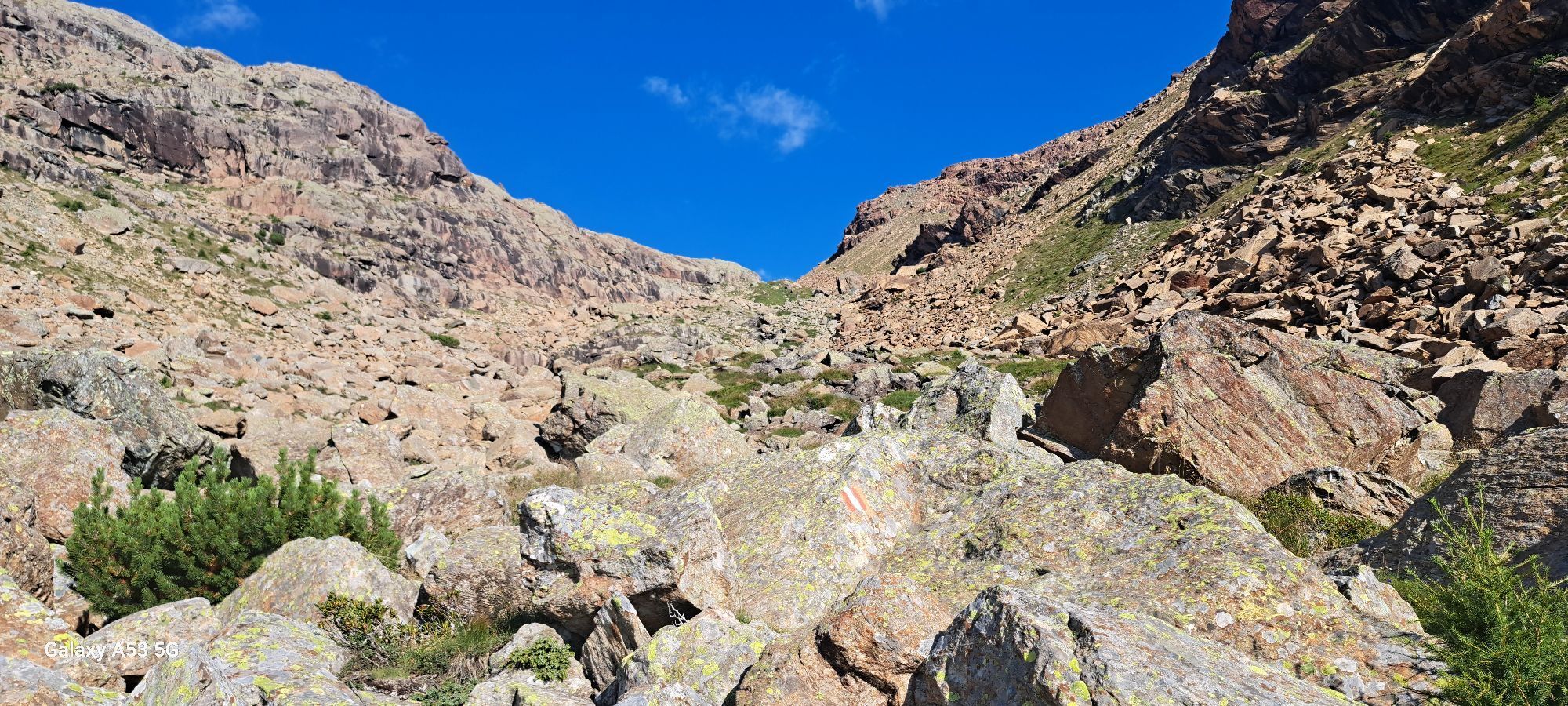
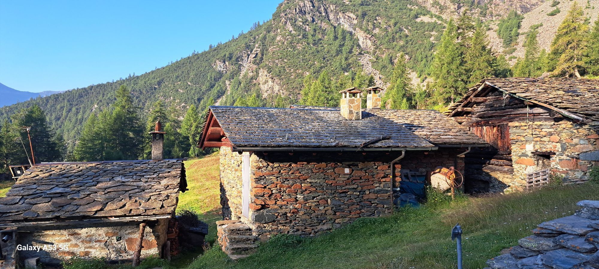
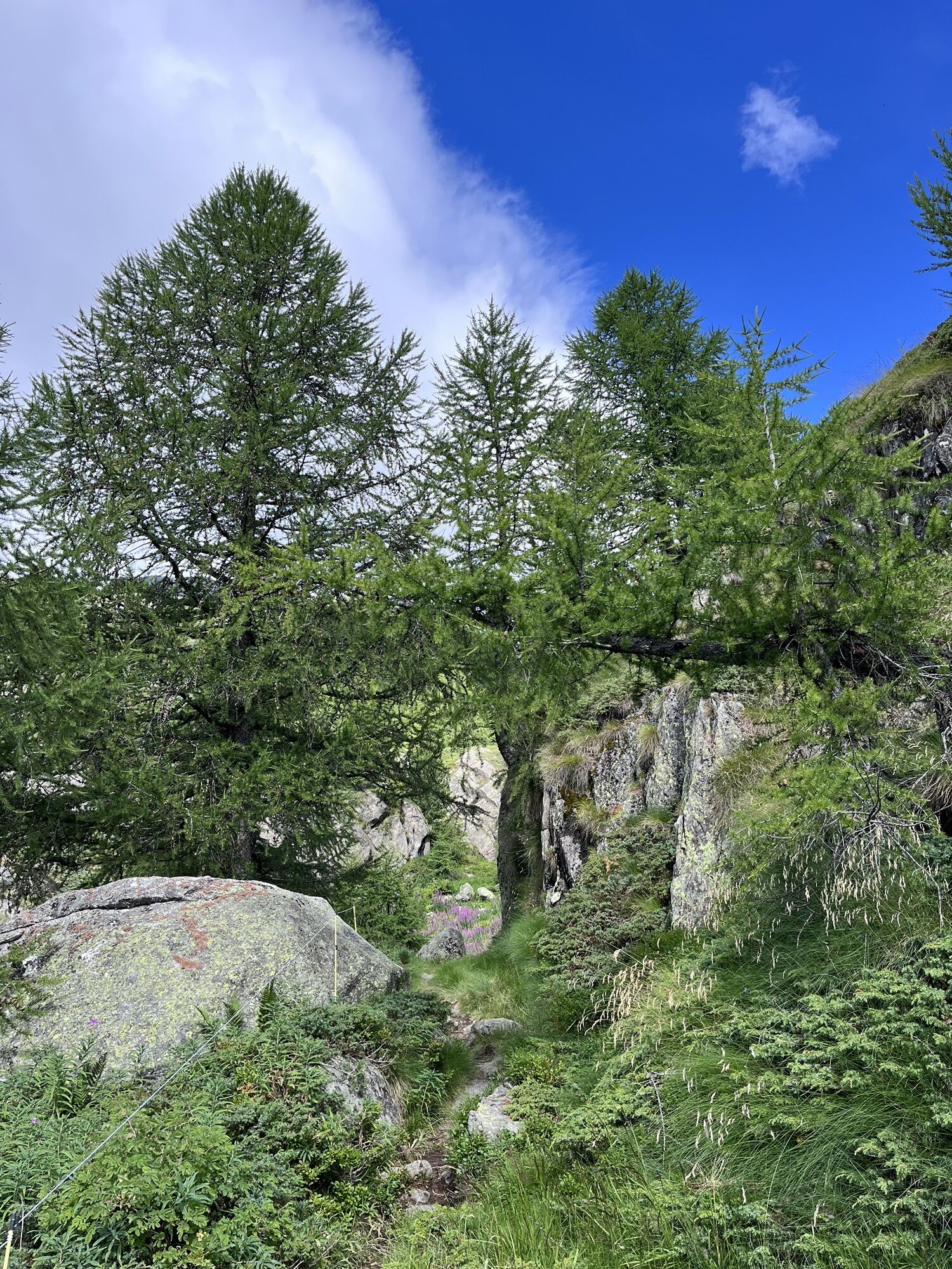
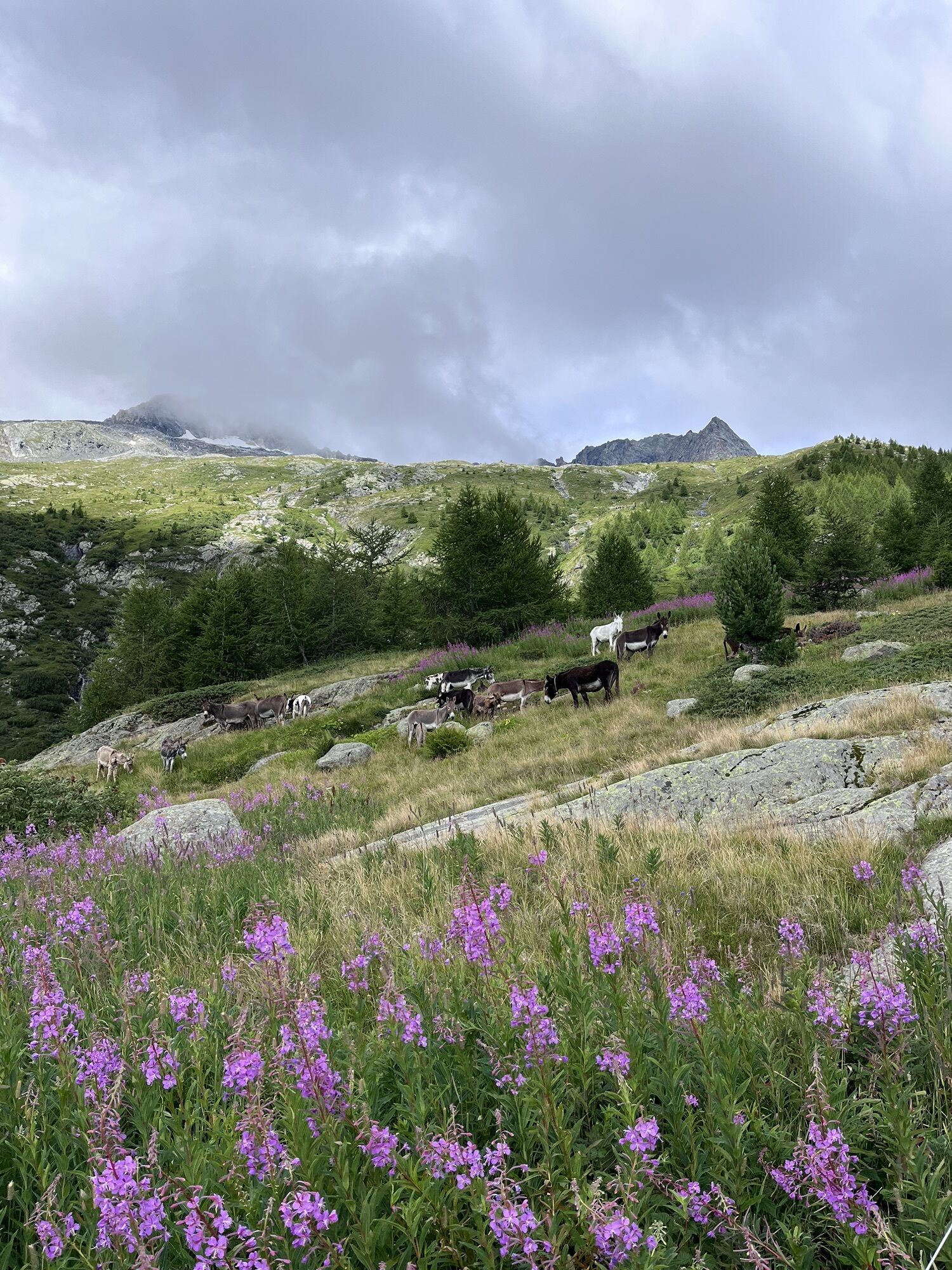
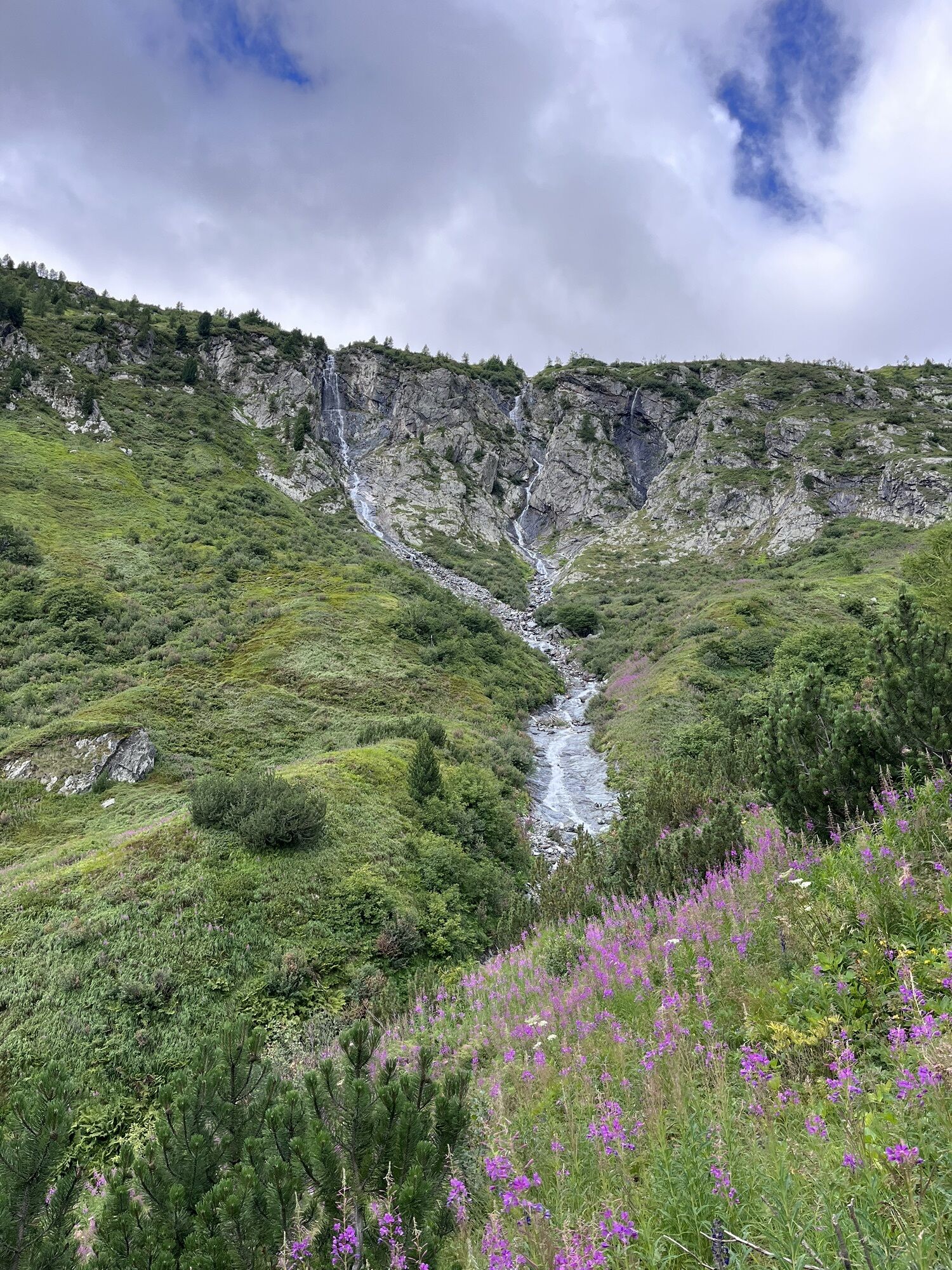

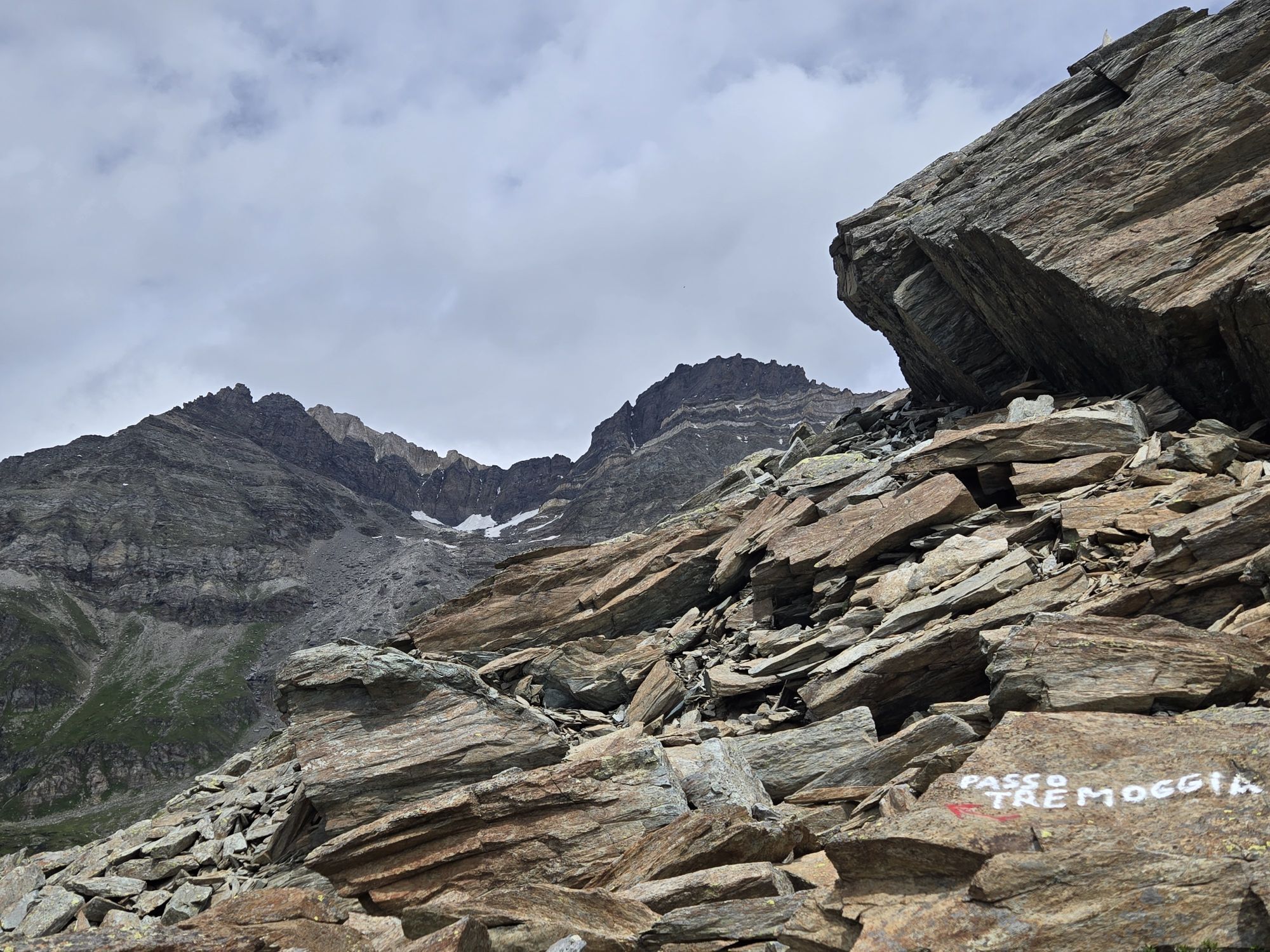
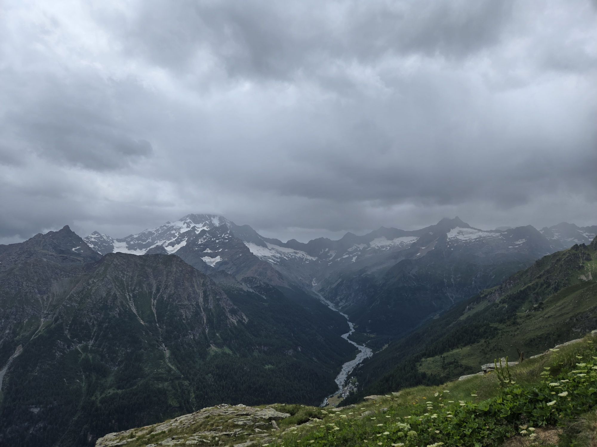
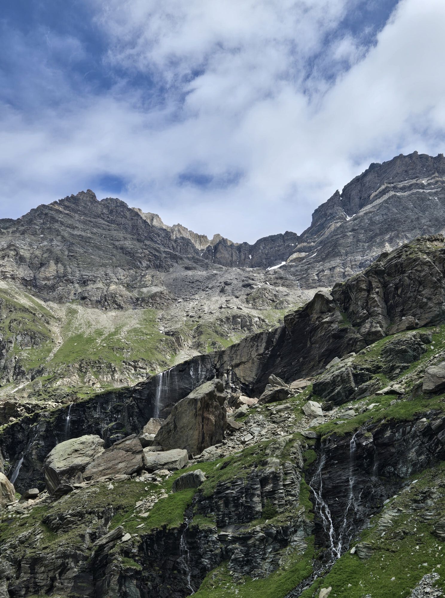
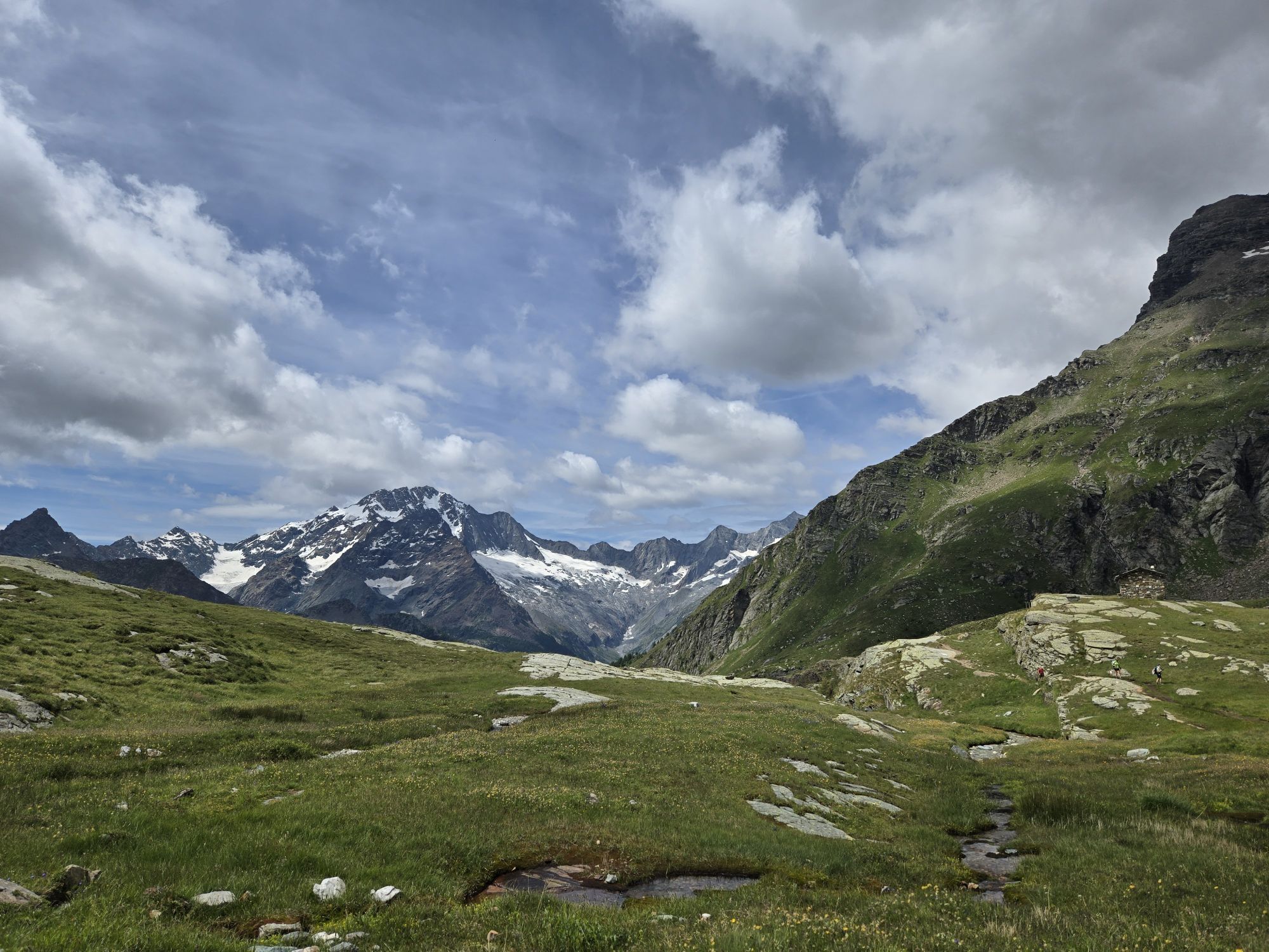
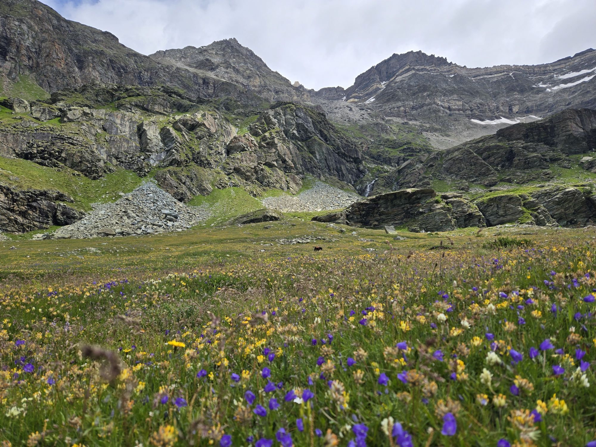
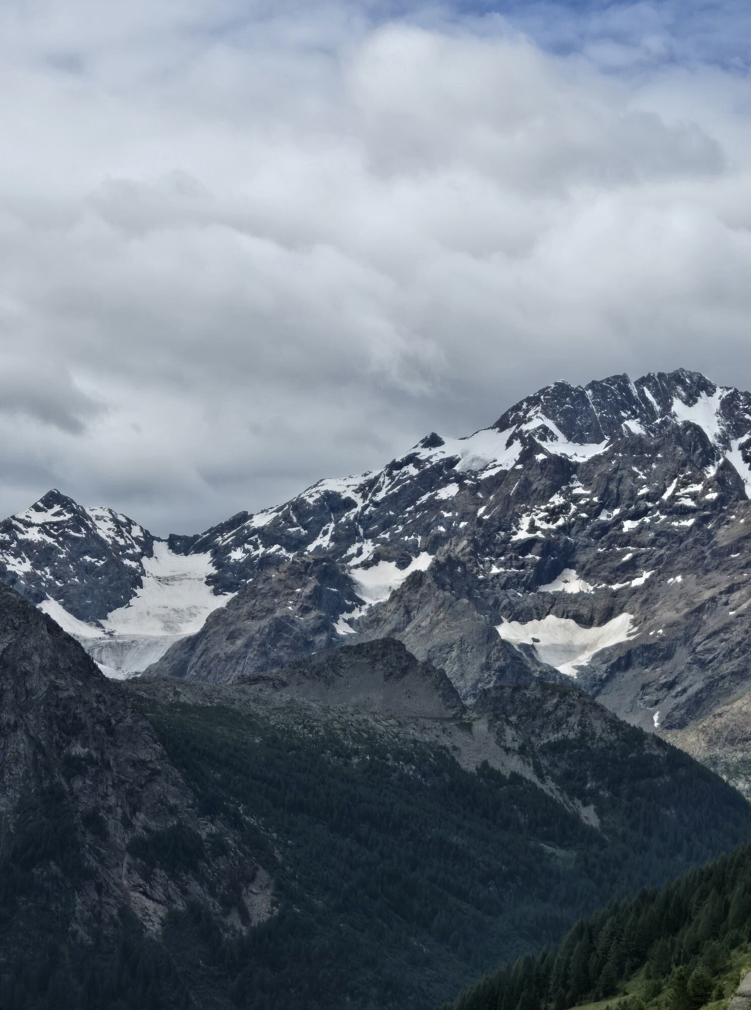
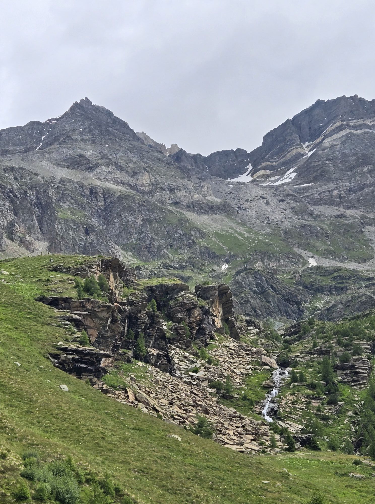
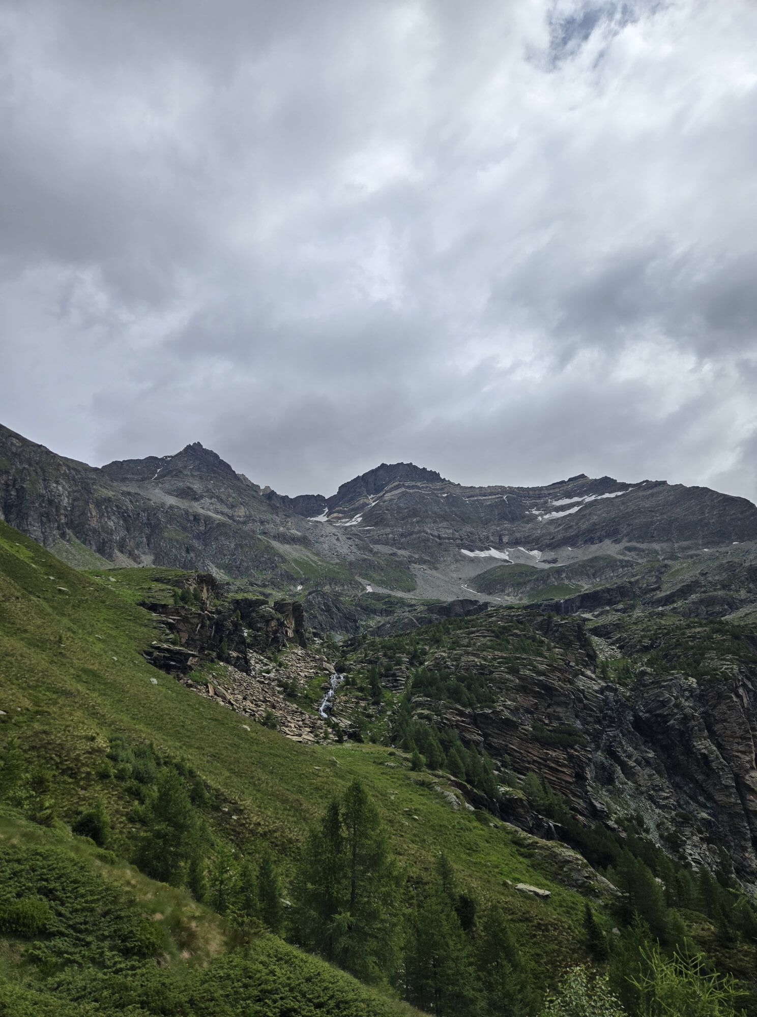
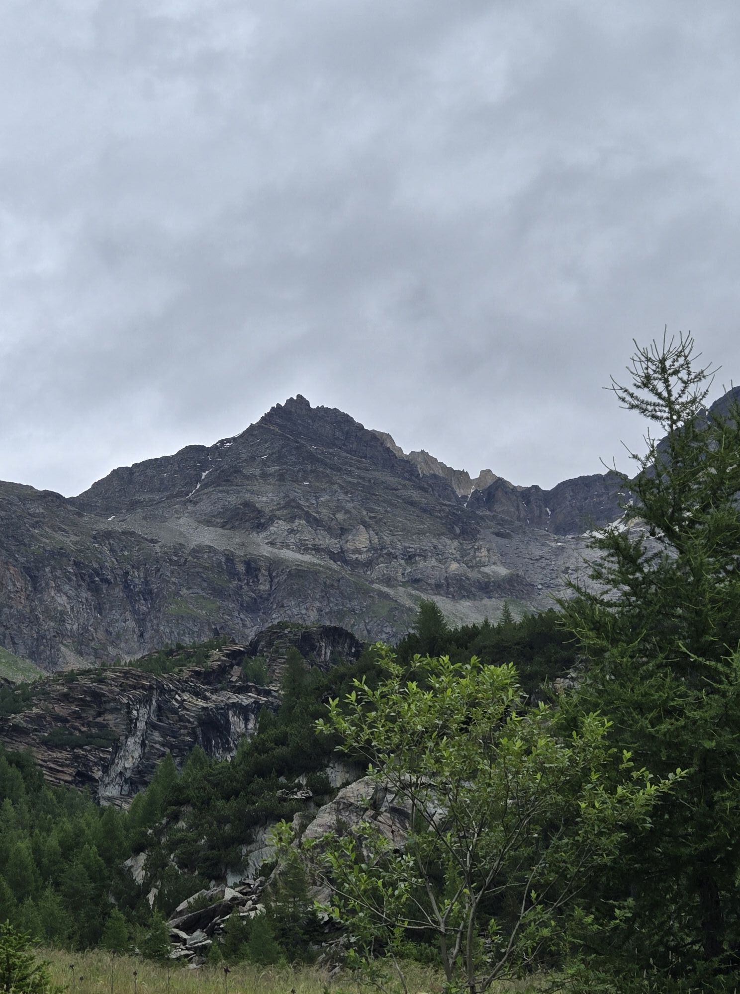
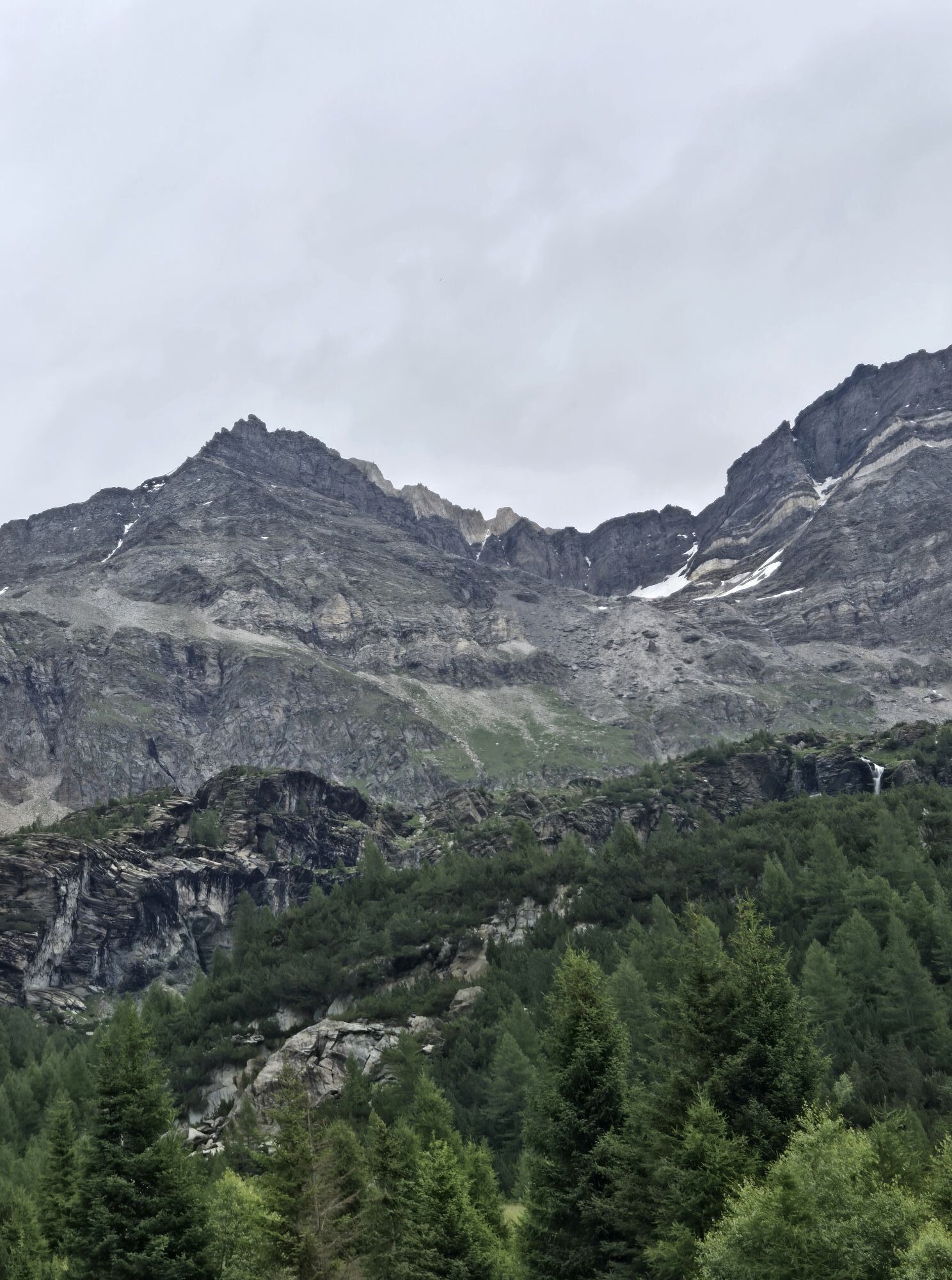
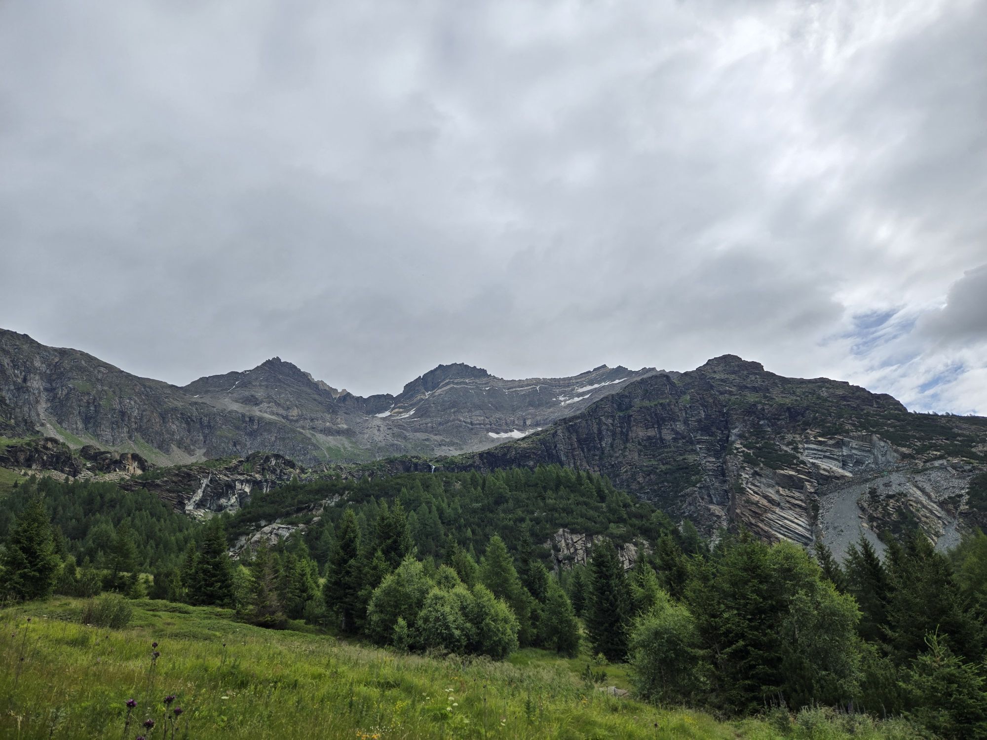
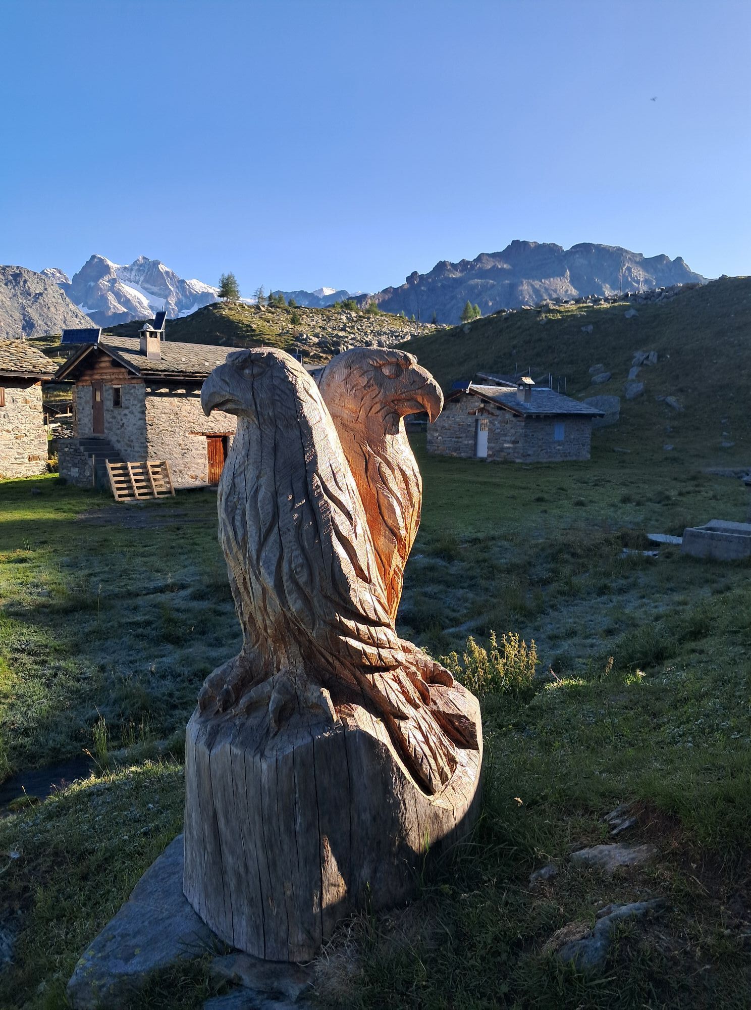
The Alta Via della Valmalenco is a high-altitude hiking route consisting of 8 stages covering about 110 km, which ultimately returns to the starting point, or it can be split into mini Alta Vie of only...
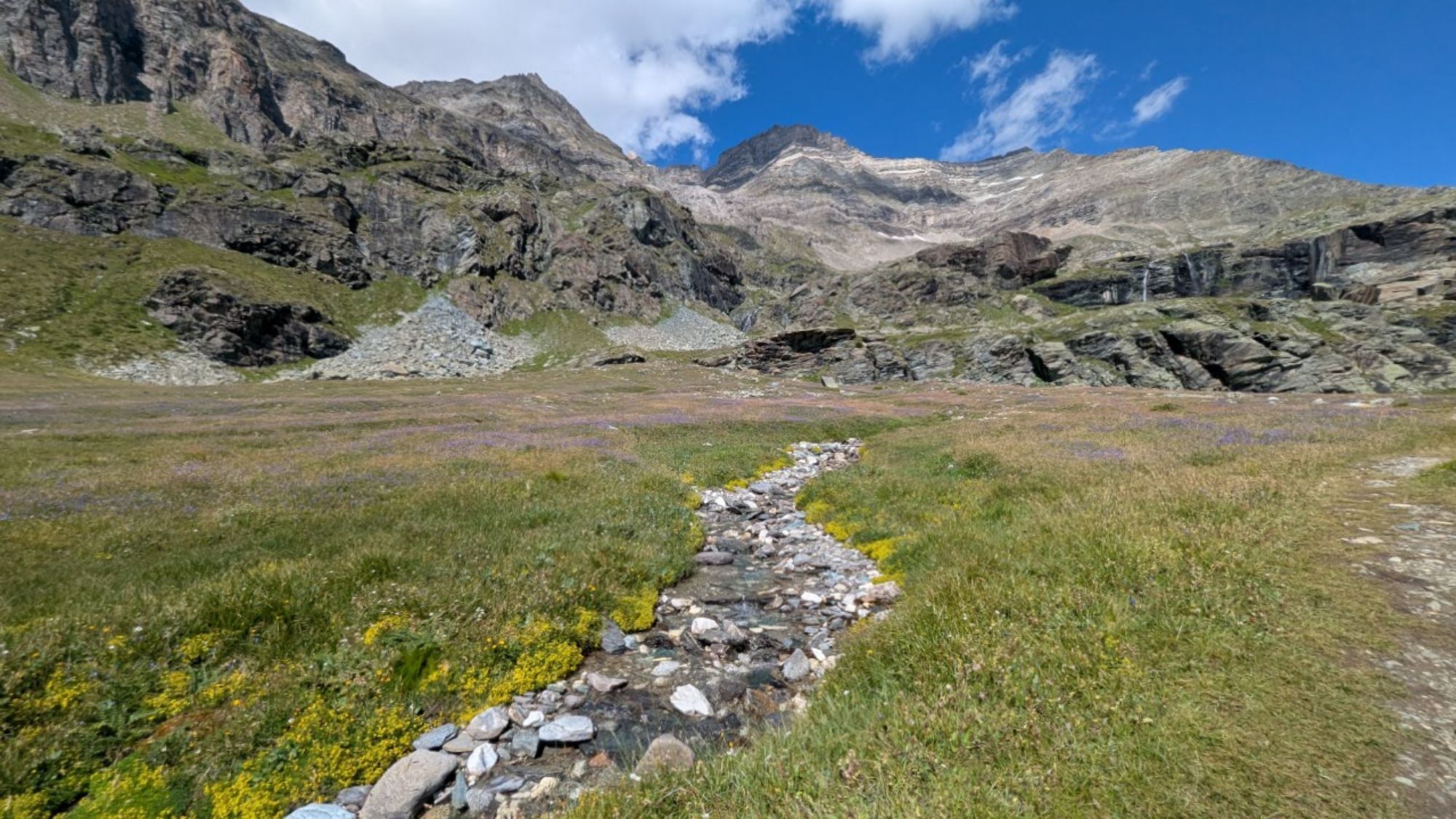
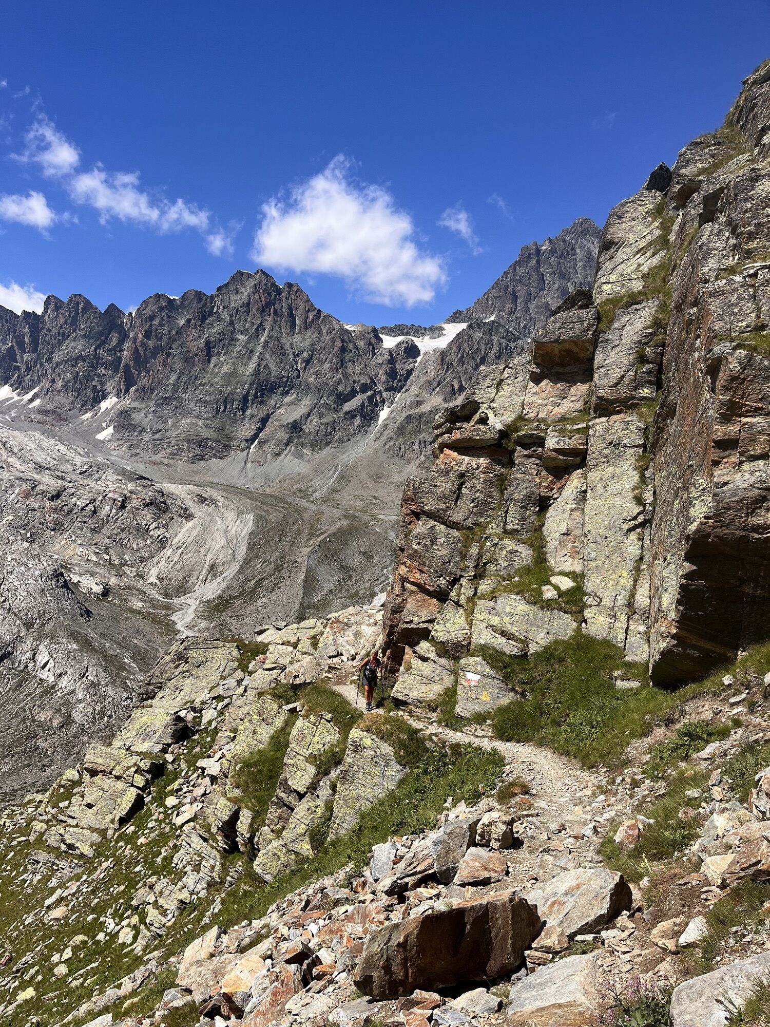
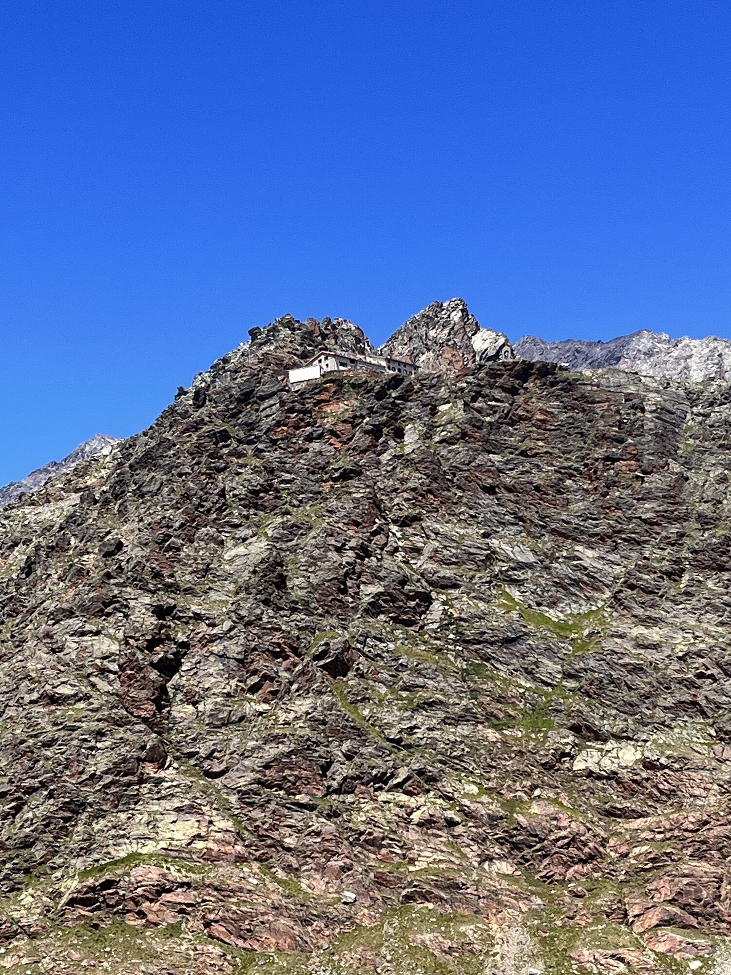
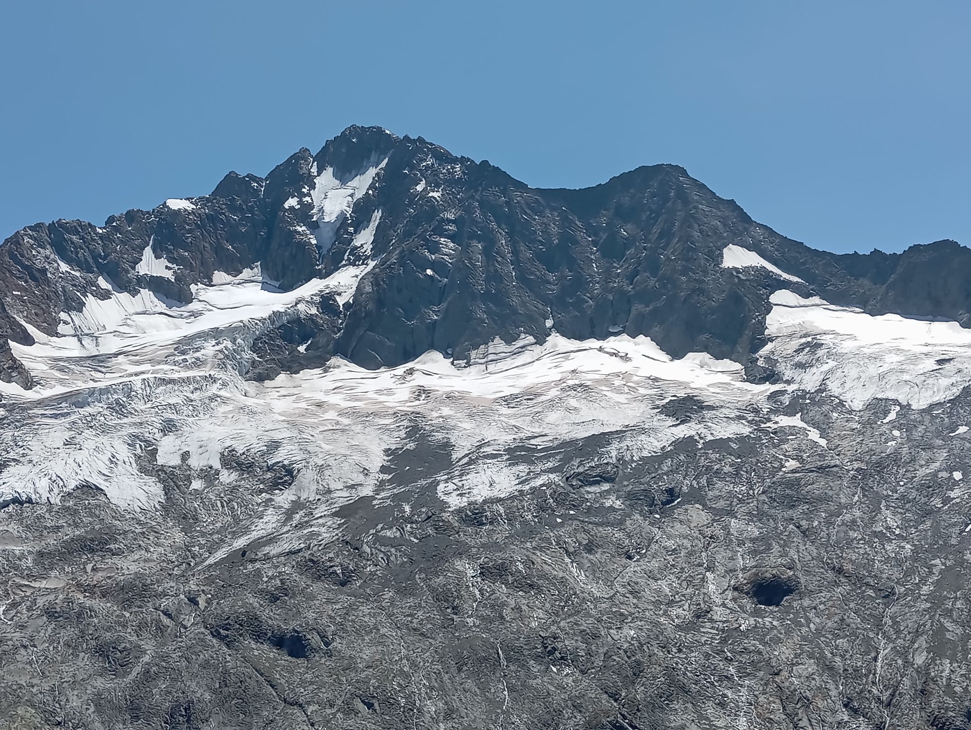
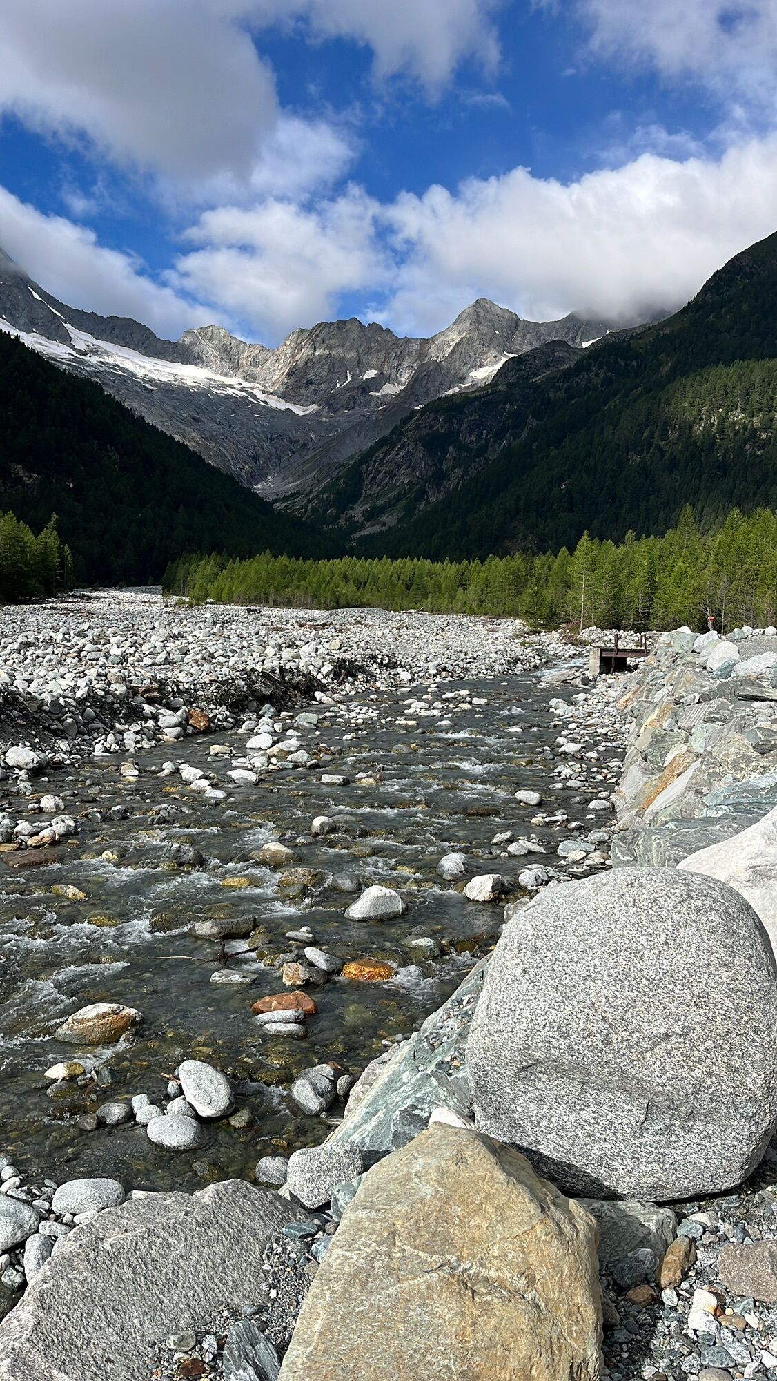
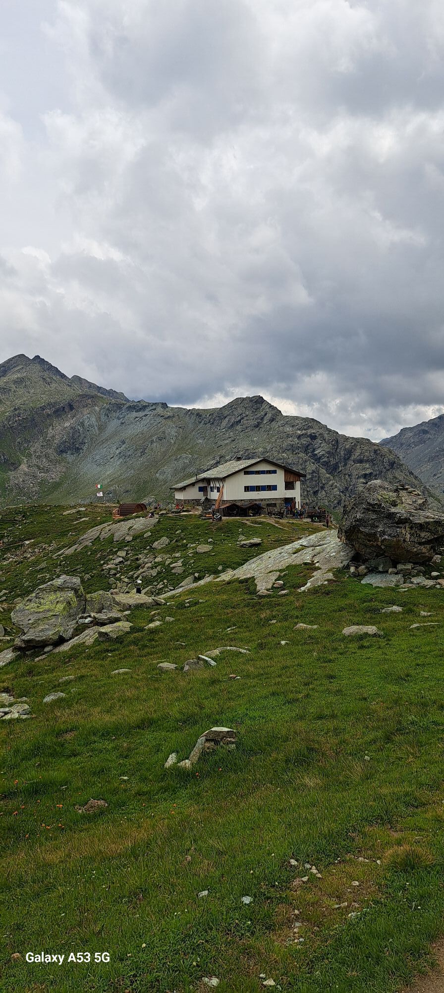
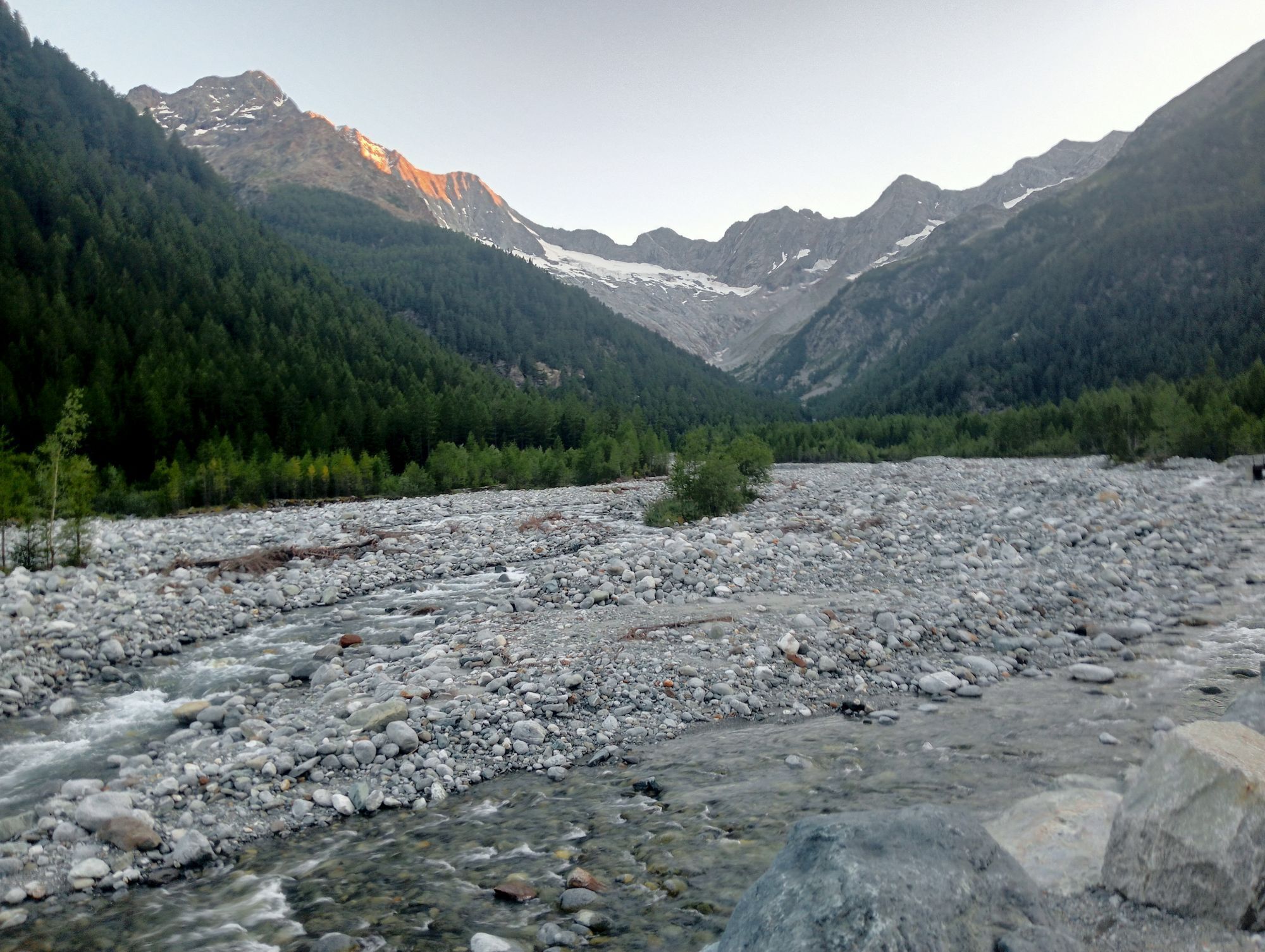
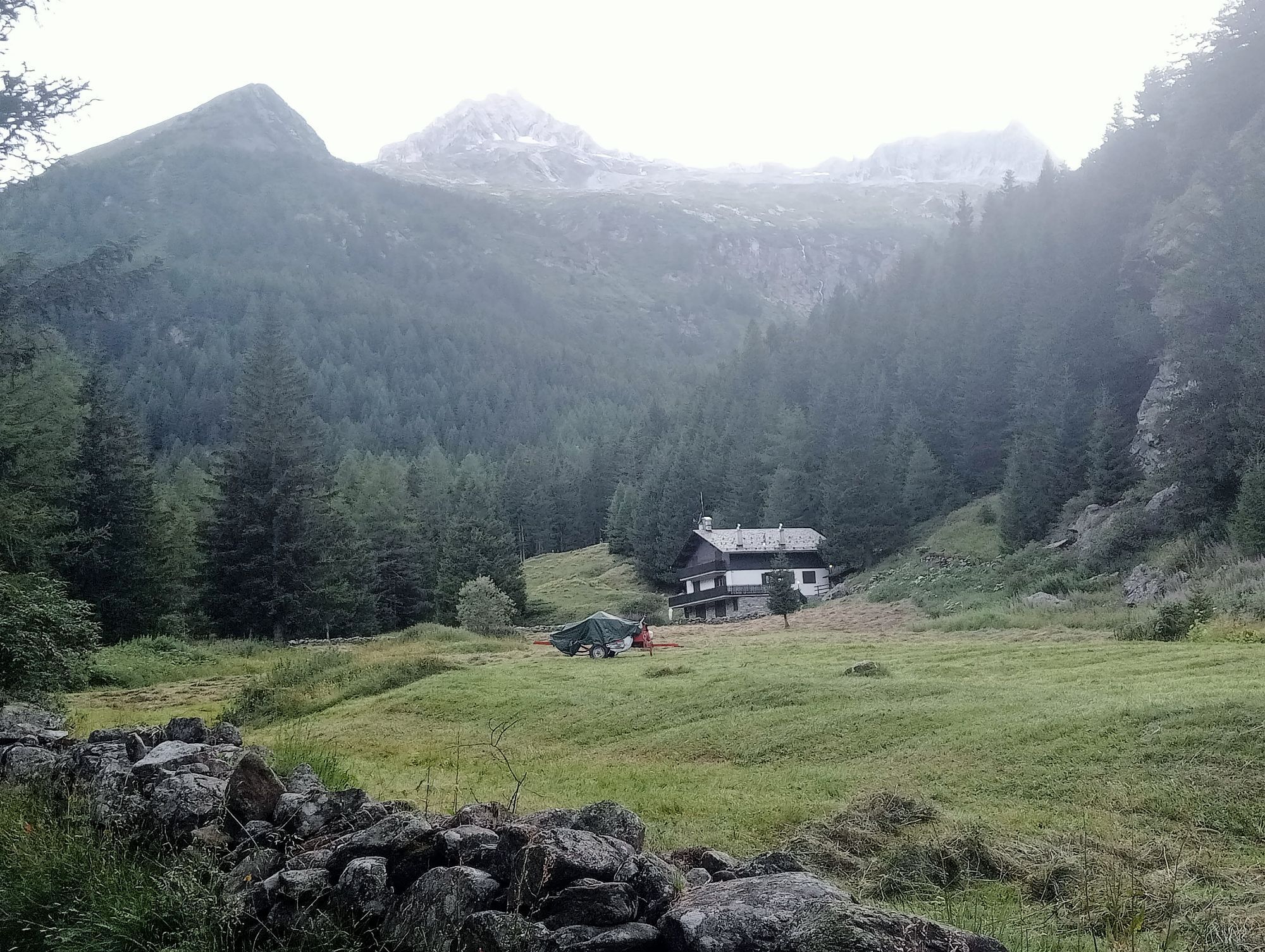
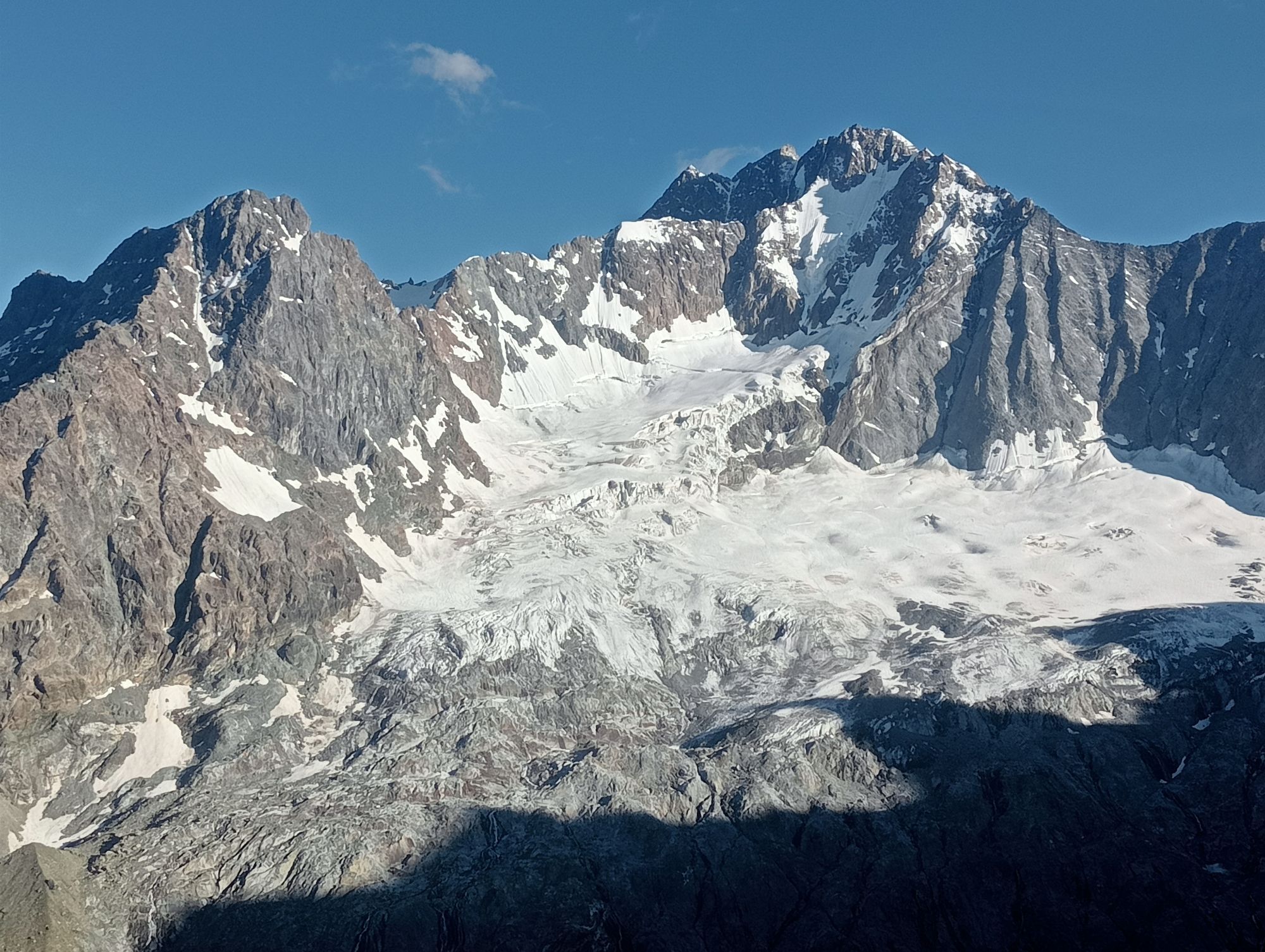
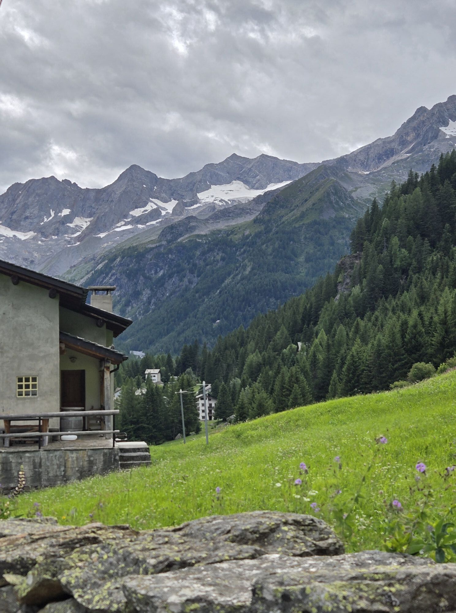
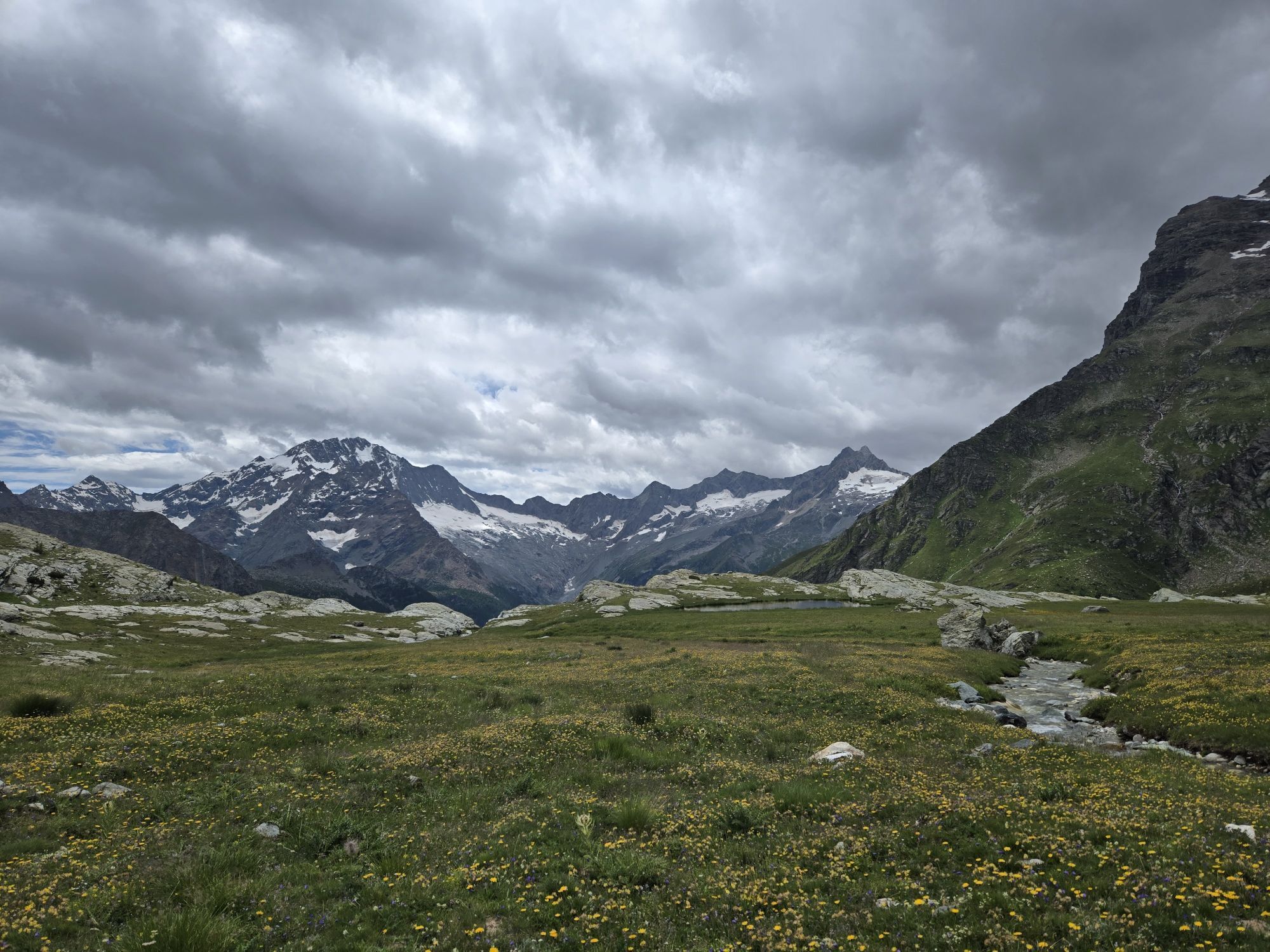
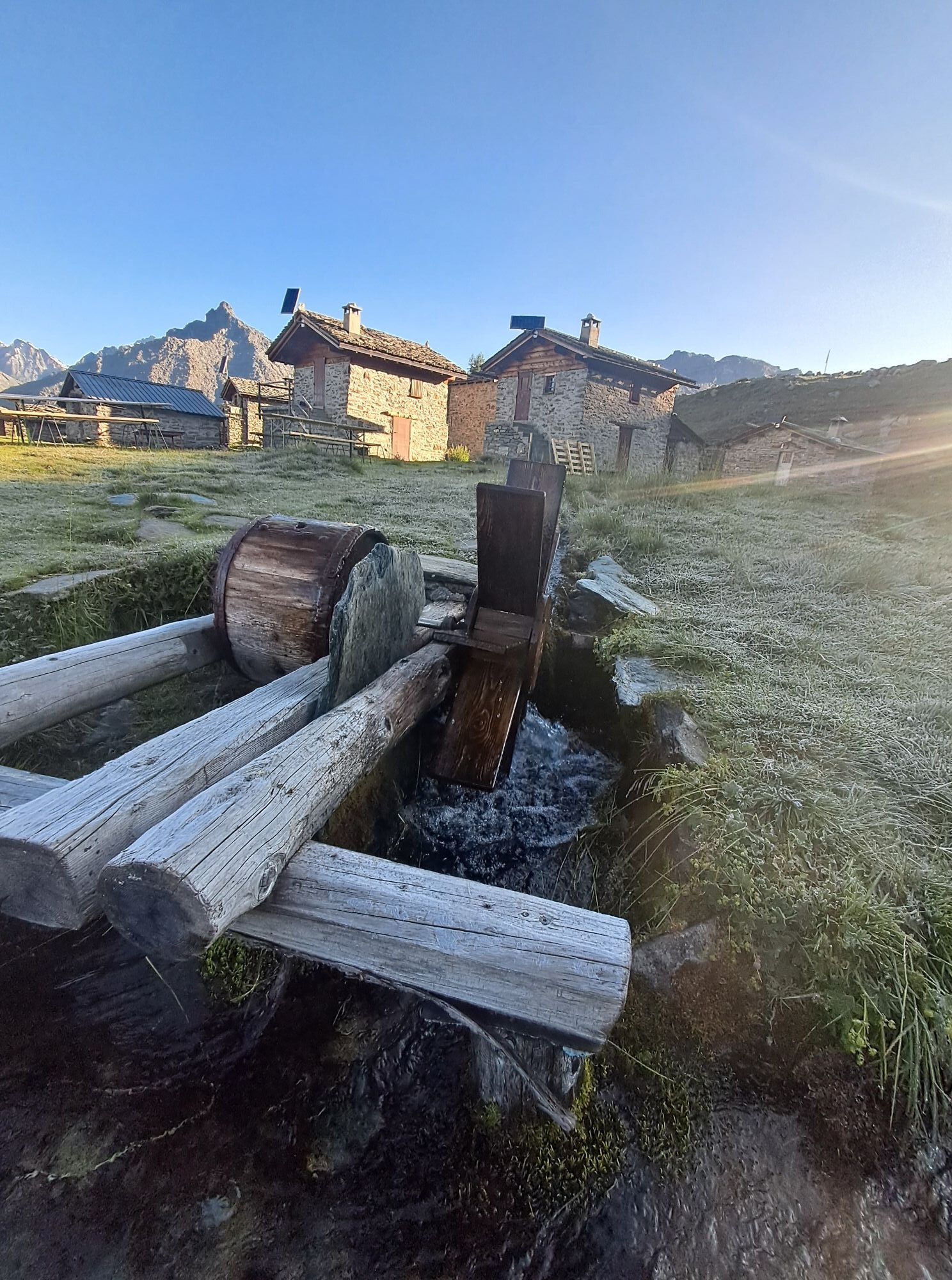
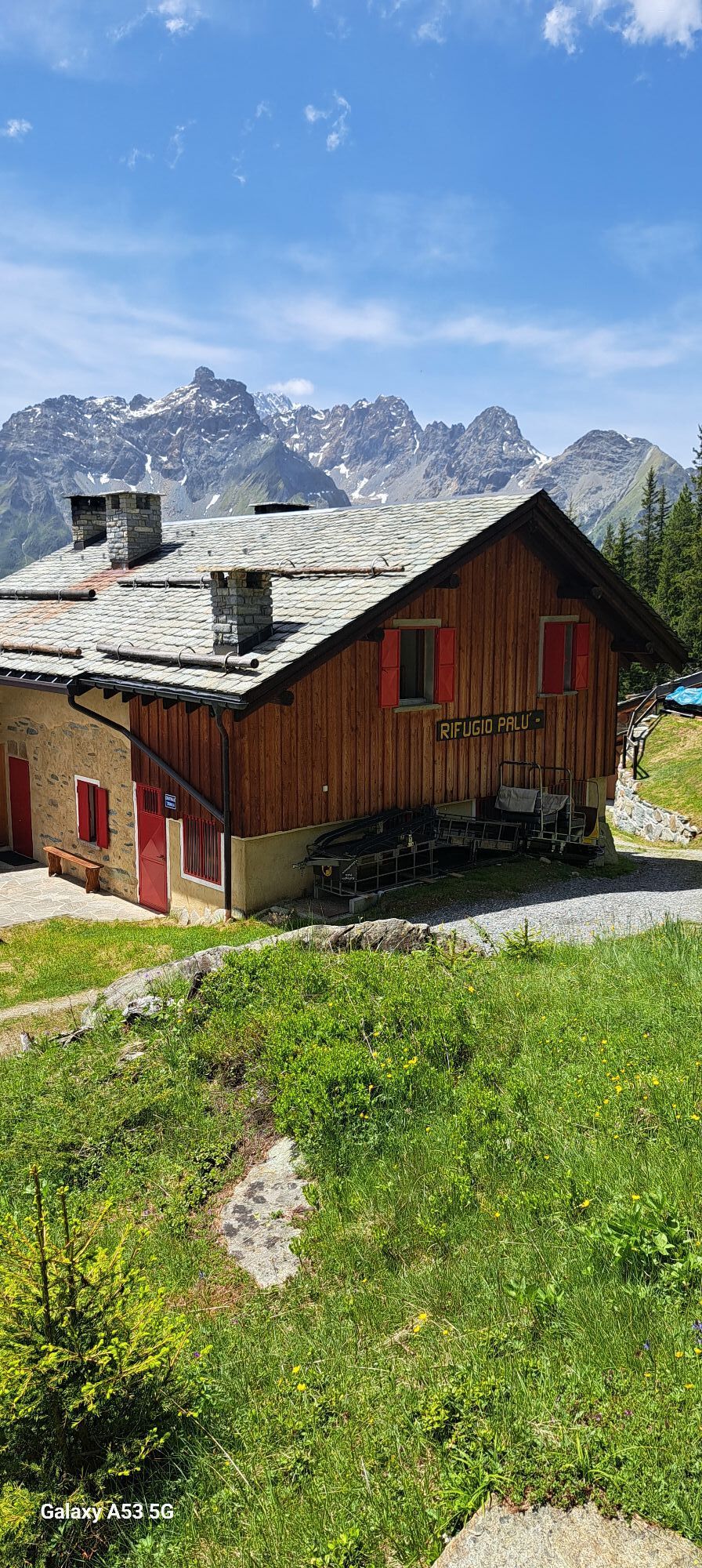
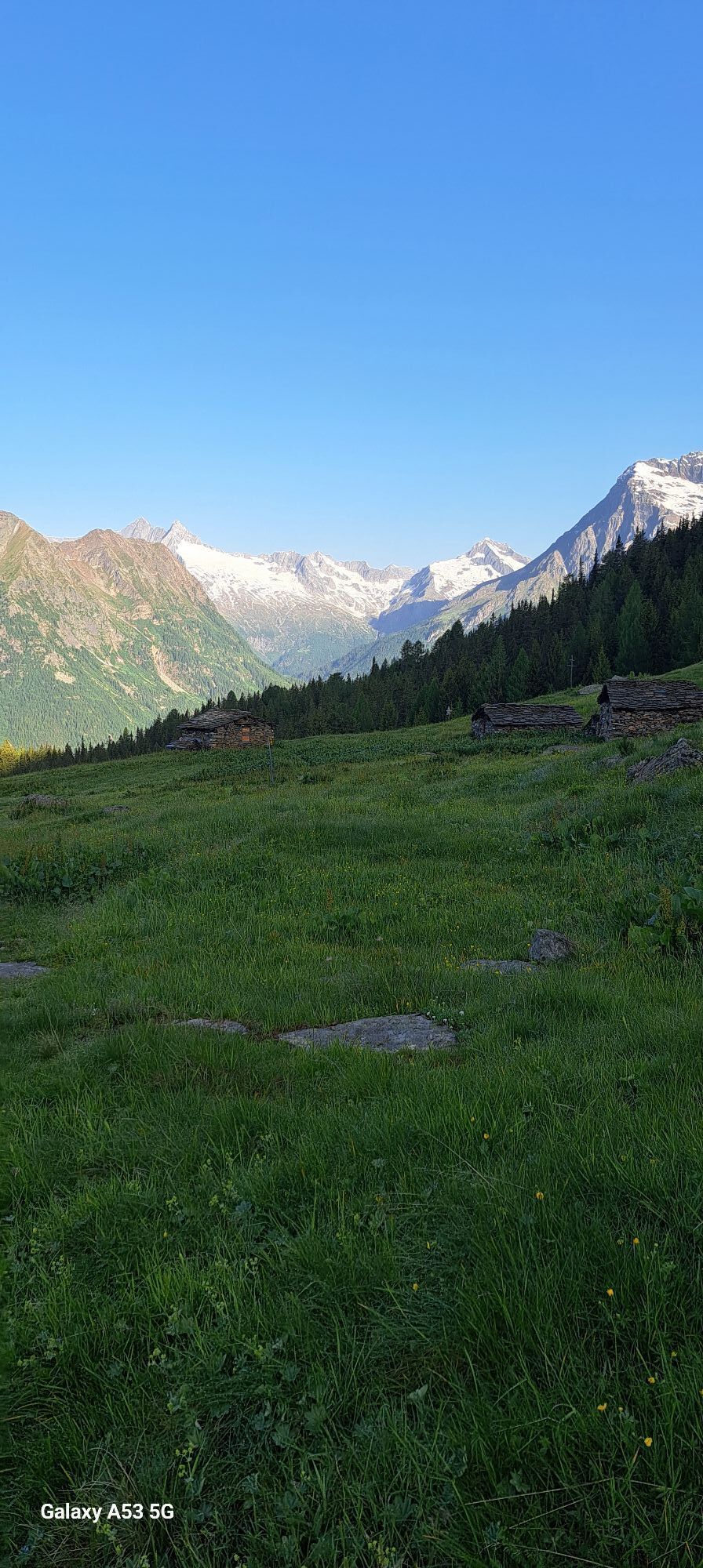
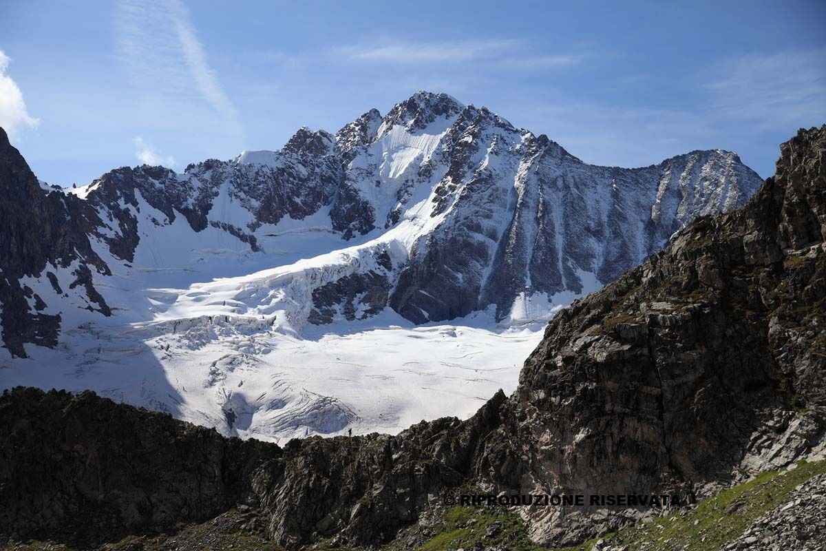
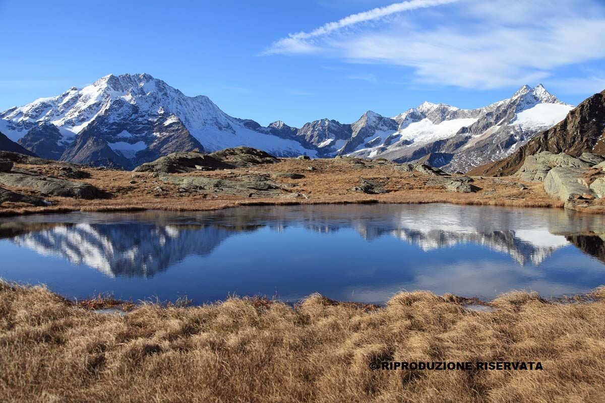
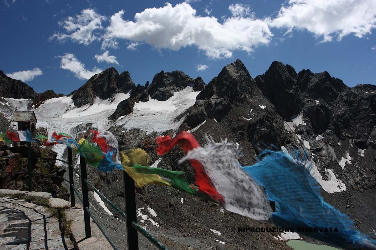
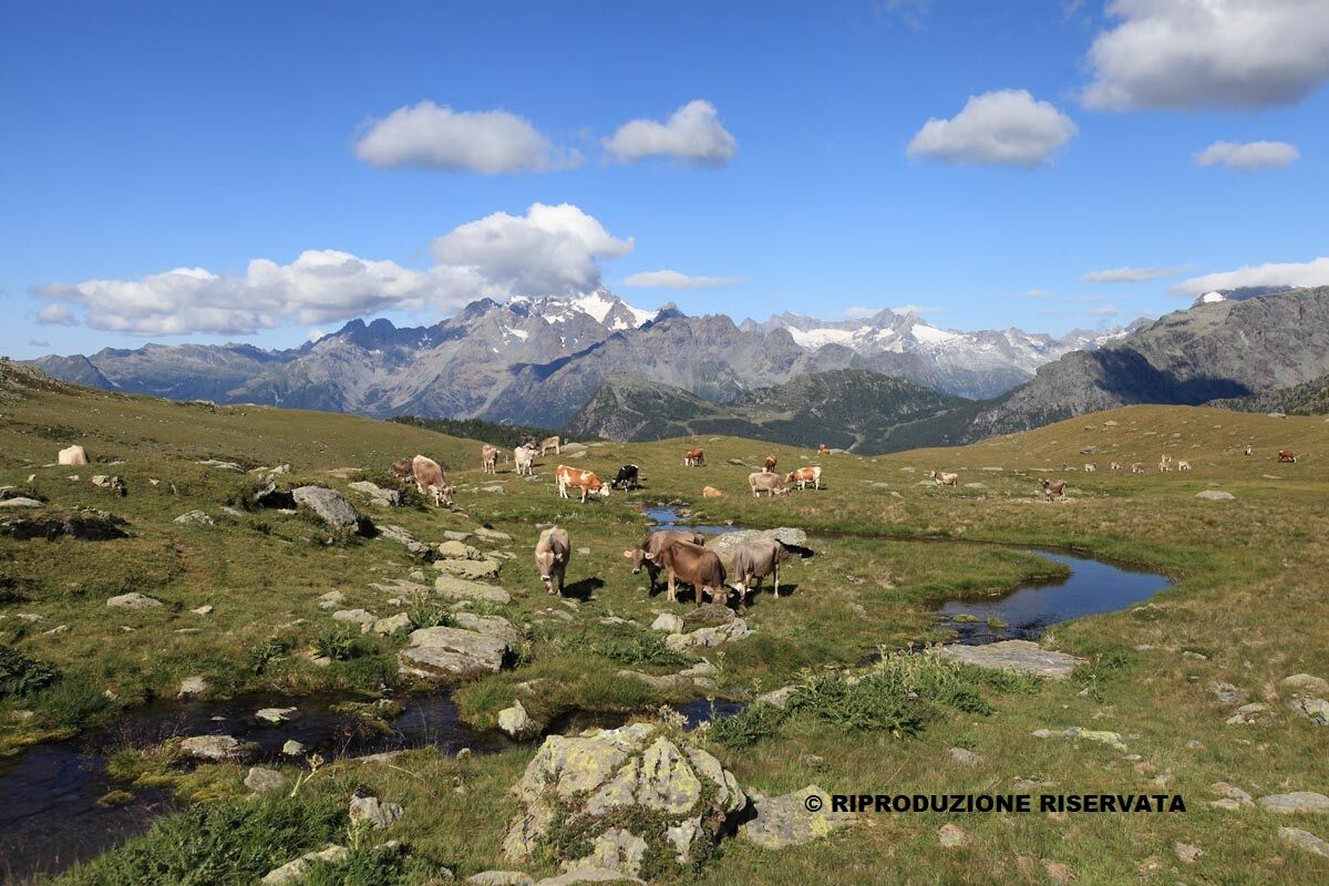
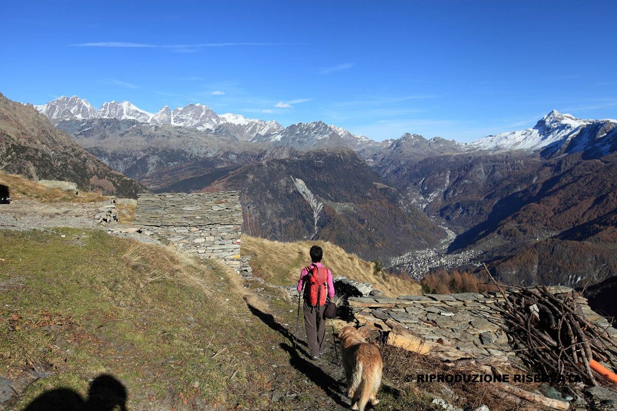
The Alta Via della Valmalenco is a high-altitude hiking route consisting of 8 stages covering about 110 km, which ultimately returns to the starting point, or it can be split into mini Alta Vie of only 2 or 3 days. There is a main itinerary or variants connecting the most important huts in Valmalenco. Along the way, the most significant and panoramic points of the valley are reached: the Chiareggio basin, Lake Palù, the Scerscen valley, the Campo Moro and Campo Gera dams. In the fantastic scenery of pastures, alpine pastures, lakes, woods, quarries, and passes, you can admire the majestic glaciers of Disgrazia, Bernina, and Scalino. The Alta Via requires considerable physical effort and good preparation. In fact, there are some stretches that must not be taken lightly but with mountain equipment. Prudence and attention are qualities required from everyone. Training is recommended for the more challenging stages. Since it reaches altitudes around 3,000 meters, the Alta Via is only feasible in the summer months.



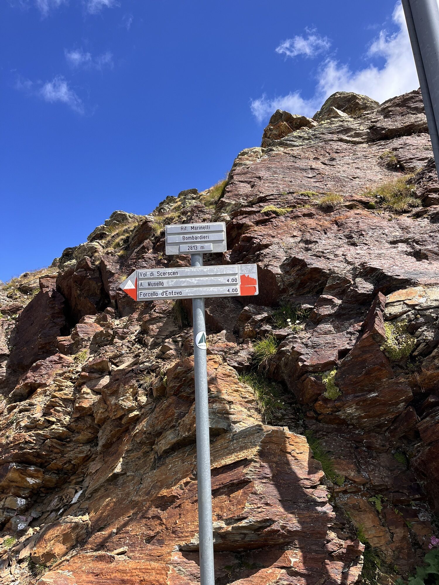
The yellow triangles indicate the Alta Via della Valmalenco.
Sometimes inside the triangle there is a number that corresponds to the stage number.
Ano
Mountain backpack with everything needed for trekking.
Don't forget: torch, thermal blanket, flashlight or headlamp, charger, clothing suitable for both good weather and sudden downpours
Sondrio-Valmalenco-Torre Santa Maria
At Torre Santa Maria (Alta Via starting point) you can reach it by public transport from Sondrio or from Valmalenco.
Timetable available on the website www.stps.it
Parking near the municipality of Torre Santa Maria
Parking in Chiesa in Valmalenco and descent to Torre Santa Maria by public transport. Much larger parking possibility in the locality of Vassalini.
You can leave the car in the locality of Piasci but in this case it is necessary to have a pass for all the days the car is parked.
Always inform the hut keeper of the stage you intend to undertake.
Before the hike, it is important to gather information about the route and accessibility, depending on the season by contacting the huts or local experts. Weather forecasts can be found at www.arpalombardia.it or by consulting the Swiss bulletin www.meeosuisse.ch
All huts have telephones, and along a good part of the routes, mobile phone reception is good. Only in strictly necessary cases should the mountain rescue be alerted: emergency number 112.
It is good practice to inform the hut keepers of your arrival and your walking itinerary.
Webové kamery z prohlídky
Badia - Piz La Ila Moritzino
Valmalenco Alpe Palù - Cima Motta
Chiareggio
Dal Rifugio del Grande - Camerini
Dal Rifugio Zoia
Panoramica Valmalenco
Valmalenco Ski area: Campo scuola
Valmalenco Ski area: pista Thoeni
Lago Palù
Massiccio del Disgrazia
Primolo
Vallata di Chiareggio e San Giuseppe
Valmalenco Ski area: Alpe Palù
Valmalenco Ski area: Ascensore inclinato
Valmalenco Ski area: Pista blu Dosso
Valmalenco Ski area: pista Nana e rifugio Motta
Valmalenco Ski area: seggiovia Bocchel del Torno
Získejte přehled Vždy živě na místě s více než 9 500 webkamerami. bergfex Jako uživatel Pro si nyní můžete zobrazit odpovídající webové kamery pro mnoho prohlídek v aplikaci prohlídky z. Můžete si tak přímo prohlédnout aktuální podmínky. Oblíbené prohlídky v okolí
- 4.6
Diavolezza - Munt Pers
světloHorská turistika 3.82 km - 5.0
Morteratsch station - Boval Hut
středníTuristika 10.5 km - 4.9
Maloja - Motta Salacina - Lägh da Cavloc - Maloja
středníTuristika 10.3 km - 4.5
Pontresina - Val Roseg - Pontresina
světloTuristika 13.8 km - 4.8
SAC Tschierva
světloTuristika 24.7 km - 4.7
Morteratsch Glacier route
světloTematická stezka 2.88 km - 4.4
Piz Palü (3.905m) – Hochtour
středníVysokohorská turistika 13.4 km - 4.5
Diavolezza - Lej da Diavolezza
středníTuristika 6.22 km - 4.0
Mittelstation Murtèl – Fuorcla Surlej – Val Roseg – Pontresina
středníTuristika 23.5 km - 4.8
Corvatsch Murtèl - Fuorcla Surlej
středníTuristika 4.52 km

Pěší turistika a stopování


Nenechte si ujít nabídky a inspiraci pro vaši příští dovolenou
Vaše e-mailová adresa byl přidán do poštovního seznamu.





