






GE_12 Ring path Mount Ramaceto
Once you have passed the houses of Ventarola, follow the mule-track indicated by a yellow triangle which rises into the valley of the Ventarola and Ramaceto streams. Ignore a diversion on the right, cross...
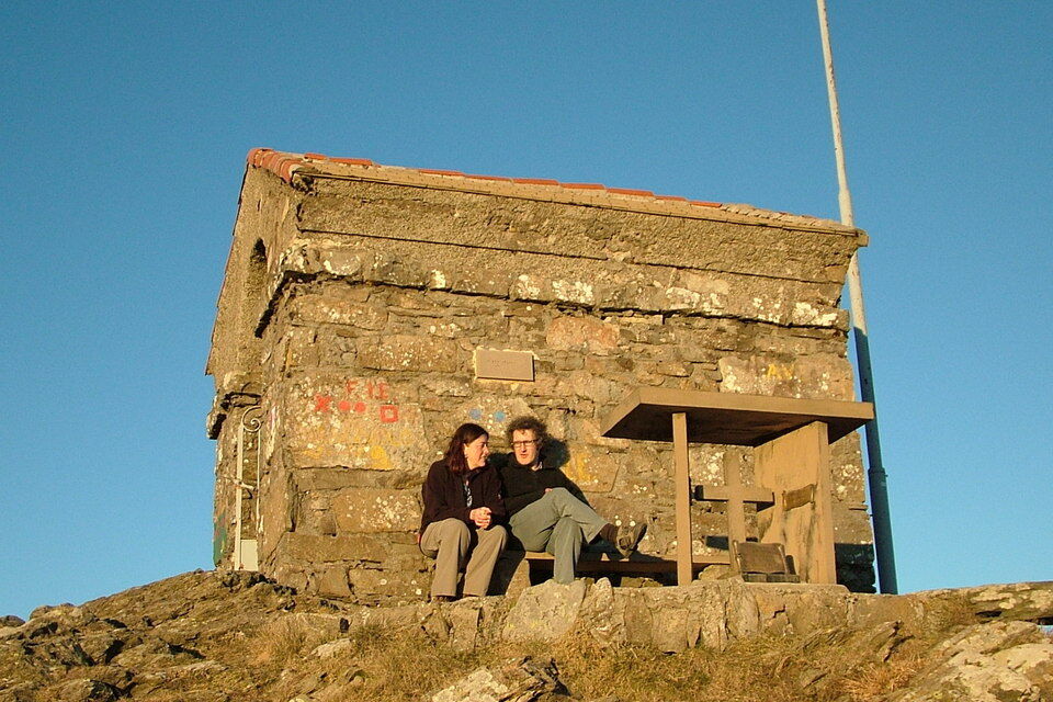
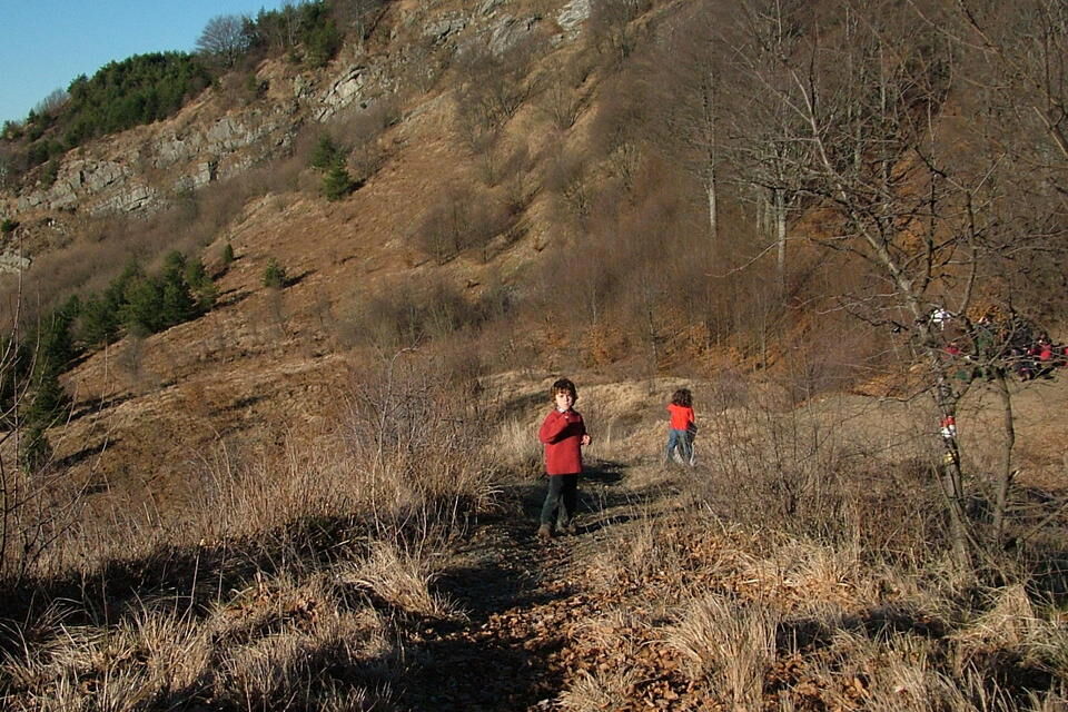
Once you have passed the houses of Ventarola, follow the mule-track indicated by a yellow triangle which rises into the valley of the Ventarola and Ramaceto streams. Ignore a diversion on the right, cross the stream and carry on walking on flat ground between little woods and meadows until the Quadrivio della Crocetta (877 m). Ignore the pathway on the left to Passo della Crocetta (which you will do on the way back) and follow the trail sign. At 1100 m leave the mule-track and take a footpath which goes down to the right. Cross a little brook and walk uphill again between the beech trees as far as Bocca di Feia (1131 m) where the sight opens to the Fontanabuona Valley and the coastal mountains (1.20-1.30 hours from Ventarola). Here you join the Alta Via dei Monti Liguri (red and white sign trail) which you follow going left uphill along a grassy ridge. Walk up some very steep stretches until, after 30-35 minutes, you reach the little chapel on the top of the panoramic south-western peak of the Monte Ramaceto (1320 m). The Alta Via continues along the ridge, whose northern side is covered with beech woods, while the opposite side, rocky and bare, overlooks the pleasant plain of Cichero. By a short, steep ascent reach the actual top of Monte Ramaceto (1345) covered with beech trees. Carry on walking along the Alta Via dei Monti Liguri as far as Passo della Crocetta d'Acero (926 m, 1.10-1.20 hours from the south-western peak of Monte Ramaceto). Turn off the Alta Via which goes to Passo della Forcella and follow the road on the left which, after half a km, reaches Quadrivio della Crocetta (877 m). Here join the mule track to Ventarola which you already walked on going uphill (30-35 minutes from Passo della Crocetta d'Acero).


from Lavagna motorway exit (A12 Genova-Livorno) reach Carasco and carry on driving towards Santo Stefano d'Aveto as far as Parazzuolo where you turn right to Ventarola. From Piacenza follow the road to Genoa along the Trebbia Valley. In Marsaglia take the road to the left to the Aveto Valley as far as Parazzuolo where you turn right to Ventarola.
Nature and Landscape * * * * * Family * * * * Gourmet * * * Culture * * *

Oblíbené prohlídky v okolí
-
5.0
GE_05 The five steeples of Zoagli
světloTuristika 11.4 km -
High Variant Leg 8 Chiavari – Montallegro - Rapallo
Turistika 13.8 km -
5.0
Rapallo-Montallegro-Monte Rosa- Rapallo
středníTuristika 13.9 km -
5.0
Trail no. 34: Passo della Spingarda - Passo del Bocco
Turistika 12.3 km -
GE_03 Ring path of Zatta Mount
Turistika 14.4 km -
Trail no. 35: Passo del Bocco - Colla Craiolo
Turistika 7.78 km -
Leg 9 from Zoagli to Portofino
Turistika 25.0 km -
Trail no. 31: Passo di Ventarola - Passo della Forcella
Turistika 9.06 km -
Trail no. 28: Passo della Scoffera - Sella della Giasina
středníTuristika 9.19 km -
GE_11 Ophiolitic path and Aiona Mount
Turistika 11.2 km
Pěší turistika a stopování


Nenechte si ujít nabídky a inspiraci pro vaši příští dovolenou
Vaše e-mailová adresa byl přidán do poštovního seznamu.





