






Trail no. 31: Passo di Ventarola - Passo della Forcella
Here, you cross Monte Ramaceto (1345 m). Its Southern front is a steep, precipitous slope, whereas the Northern face is more gentle and is covered in a splendid beech forest. In winter, an ice axe and...
Here, you cross Monte Ramaceto (1345 m). Its Southern front is a steep, precipitous slope, whereas the Northern face is more gentle and is covered in a splendid beech forest. In winter, an ice axe and crampons are necessary when there’s ice or icy snow on the upper ridge and summit.

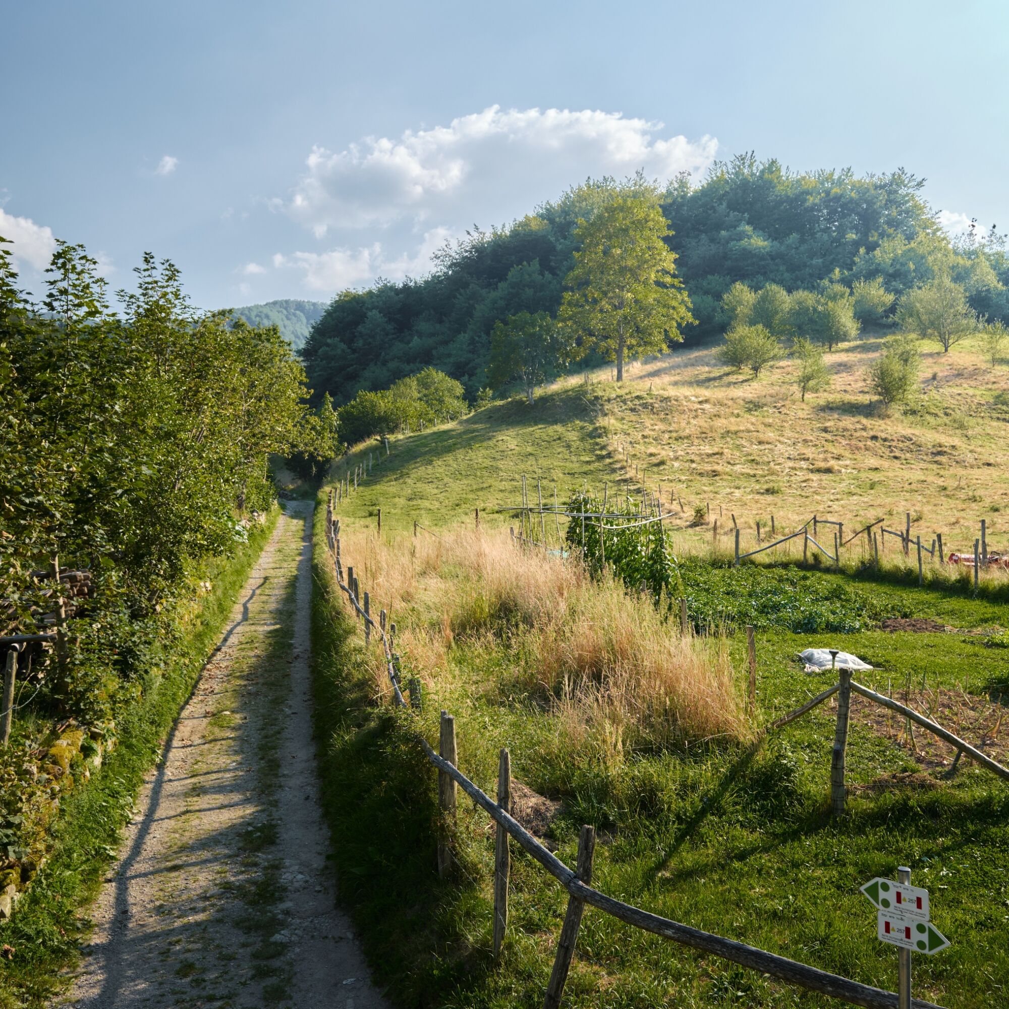
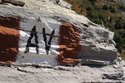
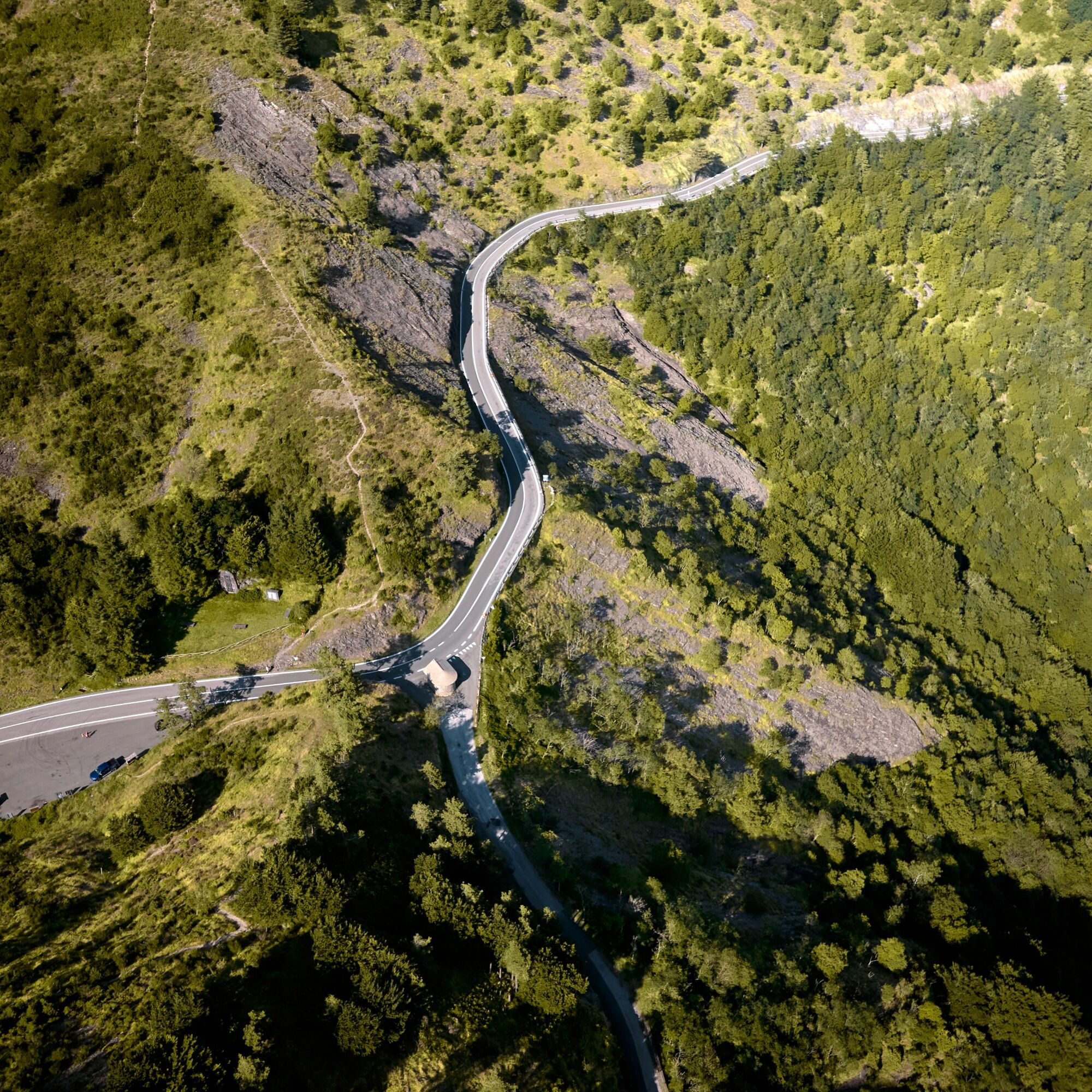

Mountaineering equipment is recommended. In winter, in frozen snow or ice, crampons and ice axe are essential on the aerial summit ridge.
There are no accommodation or catering facilities along the route. It is therefore recommended to stock up on water and food before departure.
It is recommended to check the condition of the track and the opening of the accommodation and catering facilities.
Oblíbené prohlídky v okolí
-
5.0
GE_05 The five steeples of Zoagli
světloTuristika 11.4 km -
High Variant Leg 8 Chiavari – Montallegro - Rapallo
Turistika 13.8 km -
5.0
Rapallo-Montallegro-Monte Rosa- Rapallo
středníTuristika 13.9 km -
5.0
Trail no. 34: Passo della Spingarda - Passo del Bocco
Turistika 12.3 km -
GE_03 Ring path of Zatta Mount
Turistika 14.4 km -
Trail no. 35: Passo del Bocco - Colla Craiolo
Turistika 7.78 km -
Leg 9 from Zoagli to Portofino
Turistika 25.0 km -
GE_12 Ring path Mount Ramaceto
Turistika 10.6 km -
Trail no. 28: Passo della Scoffera - Sella della Giasina
středníTuristika 9.19 km -
GE_11 Ophiolitic path and Aiona Mount
Turistika 11.2 km
Pěší turistika a stopování


Nenechte si ujít nabídky a inspiraci pro vaši příští dovolenou
Vaše e-mailová adresa byl přidán do poštovního seznamu.





