





Trail no. 06: Sella della Valletta - Colla S. Barnardo

Between Sella della Valletta e il Passo Frontè, the Alta Via route runs at an altitude of over 2000 metres, on an extremely panoramic ridge. From Passo Frontè you descend towards the meadows, as far as...
Between Sella della Valletta e il Passo Frontè, the Alta Via route runs at an altitude of over 2000 metres, on an extremely panoramic ridge. From Passo Frontè you descend towards the meadows, as far as the dirt trail connecting Colle del Garezzo to San Bernardo di Mendatica. In winter this route is only advisable for expert, fully equipped mountaineers, as you’ll most probably come across icy snow and enormous cornice at the top, so you need to take great care and carry crampons and ice–axes with you.


In winter this route is recommended only for experienced and well-equipped mountaineers, because on the ridge it is easy to encounter frozen snow and giant cornices: crampons, ice axe and great caution are therefore required.
Caution is also recommended due to the high altitude and the possibility of sudden thunderstorms with risk of lightning.
In winter this route is recommended only for experienced and well-equipped mountaineers, because on the ridge it is easy to encounter frozen snow and giant cornices: crampons, ice axe and great caution are therefore required.
Caution is also recommended due to the high altitude and the possibility of sudden thunderstorms with risk of lightning.
Refueling with water and food is recommended due to the lack of accommodations along the route.
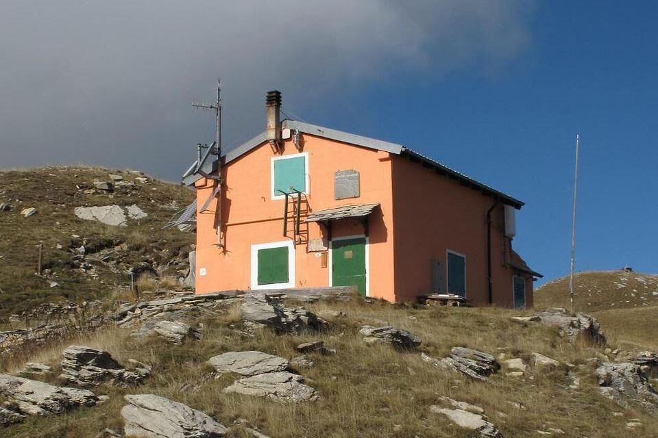
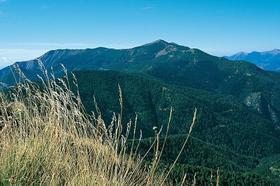
Between Mount Saccarello and Cima Garlenda, the Alta Via dei Monti Liguri runs along an almost horizontal ridge, about five kilometers long, characterized by two distinctly asymmetrical slopes: the southern slope precipitates into Valle Argentina with high cliffs and rocky crags, the northern slope descends gently into Val Tanarello with wide expanses of pastures. It is an area very rich in floral endemisms and valuable alpine fauna, at the edge of the range: Gallo forcello, Ermellino, Chamois, Imperial Crow, Golden Eagle, etc. The long ridge offers extraordinary views; on clear days Corsica can even be seen. (San Remo Refuge photo by Nicoliello Luca).
Oblíbené prohlídky v okolí
Historic Mountain Routes | High Salt Road
heavyMountainbike 104.8 kmThe Upper Salt Road, from the Alps to the sea
heavyMountainbike 112.7 kmIM_13 Ring path of Triora
Turistika 8.70 kmIM_22 Le fortificazioni del Colle di Nava
Turistika 6.01 kmIM_02 Passo della Teglia - Passo della Mezzaluna - Monte Mónega
Turistika 14.3 km- 5.0
Tour of Marguareis | Stage 4 Mongioie Refuge - Don Barbera Refuge
středníTuristika 11.6 km Sea Mountains
heavyMountainbike 48.0 kmIM_04 Monte Saccarello da Realdo
Turistika 6.09 kmTrail no. 05: Colla d'Agnaira - Sella della Valletta
Turistika 14.5 kmAVU Alta Via dei Lupi | Stage 2 Mondovì refuge - Don Barbera refuge
středníTuristika 14.6 km
Pěší turistika a stopování


Nenechte si ujít nabídky a inspiraci pro vaši příští dovolenou
Vaše e-mailová adresa byl přidán do poštovního seznamu.





