







Sea Mountains
The start point can be anywhere close to Monte Saccarello. You can also start from Monesi, but the route becomes harder. The route runs almost exclusively on the ridge that is the watershed between the...
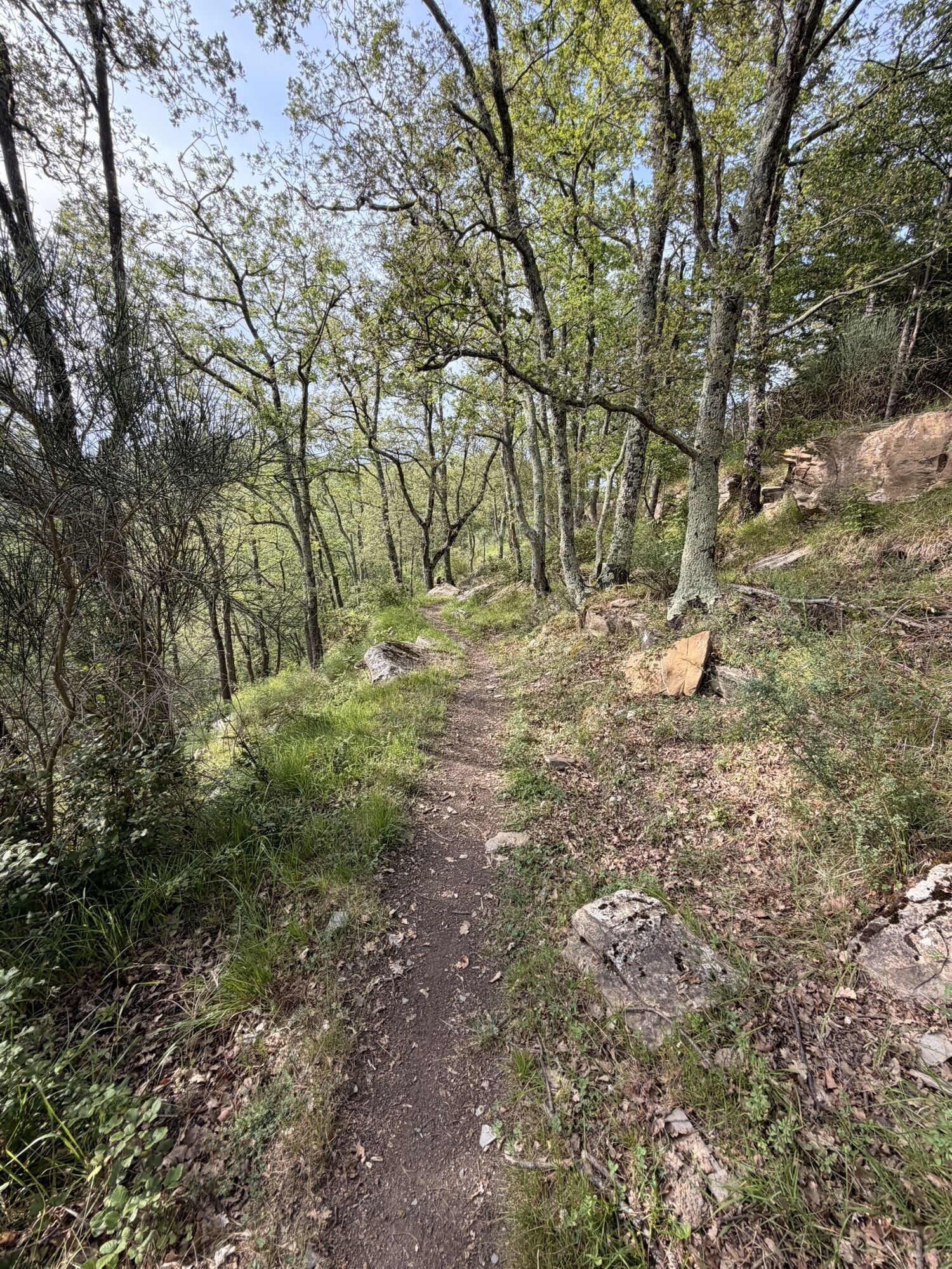
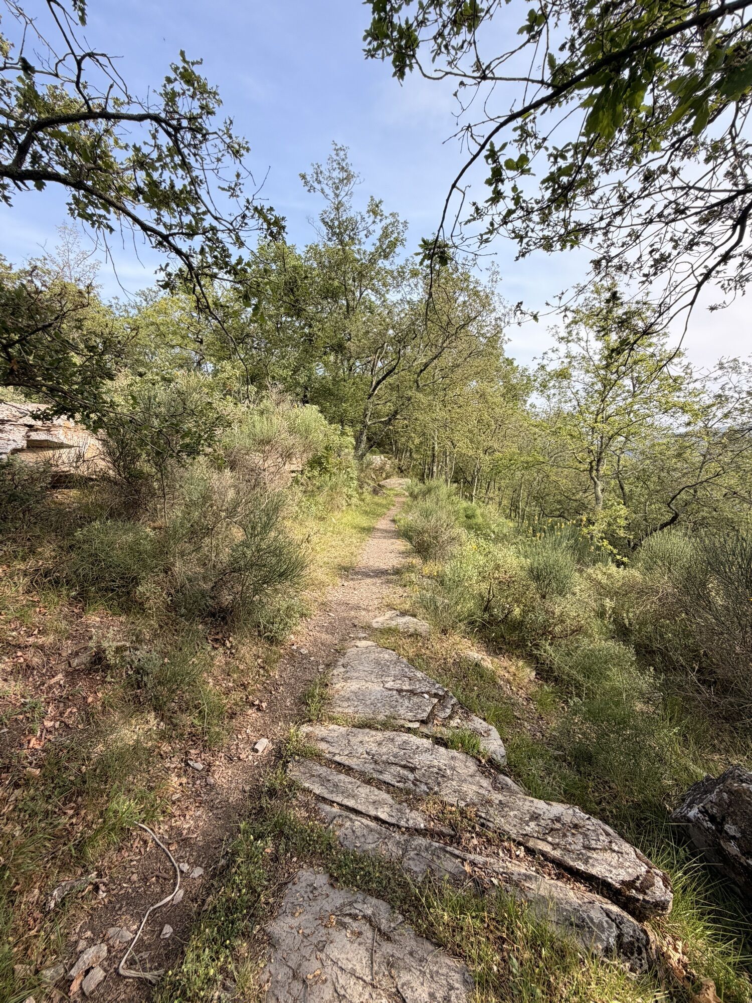
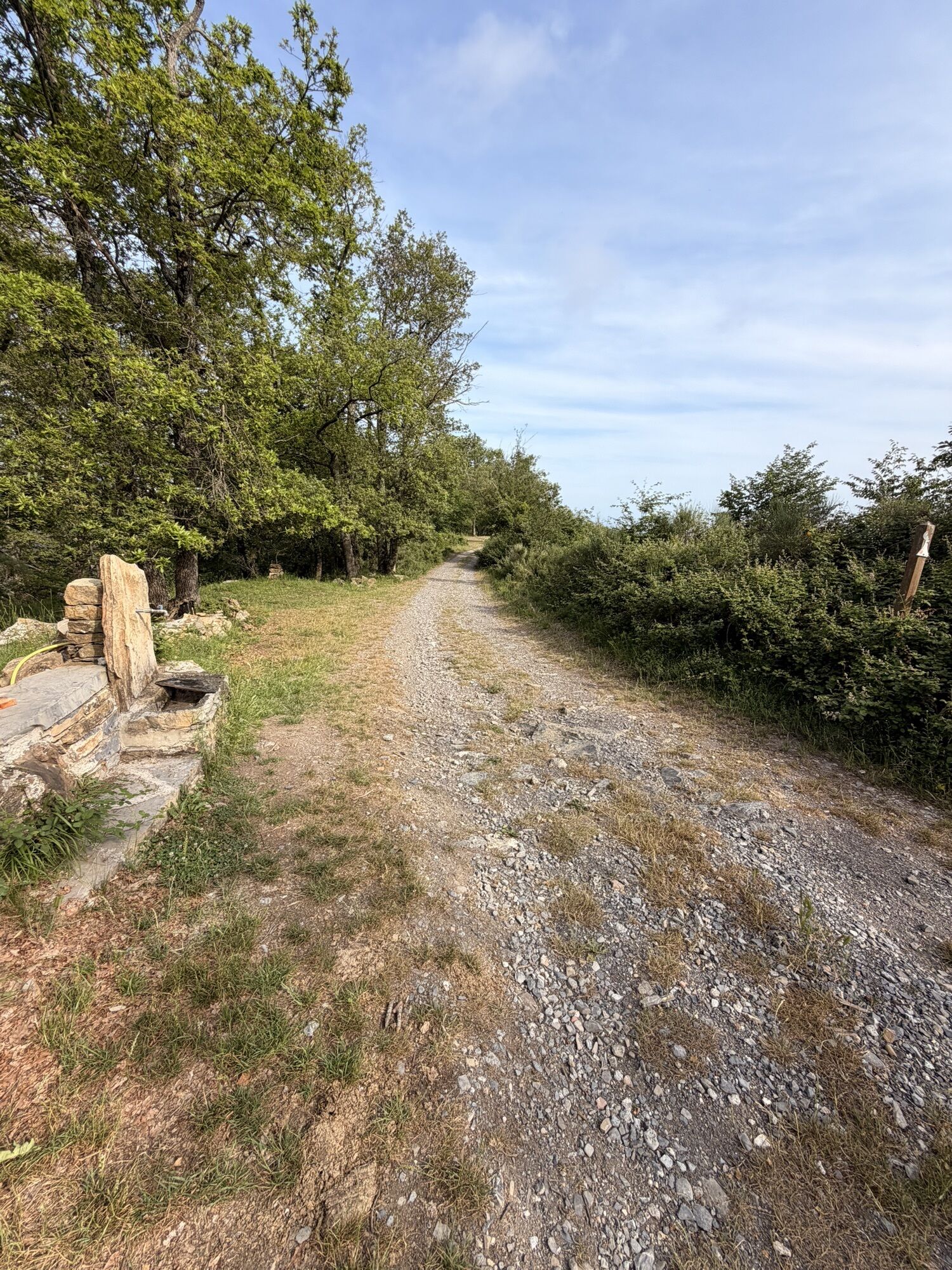
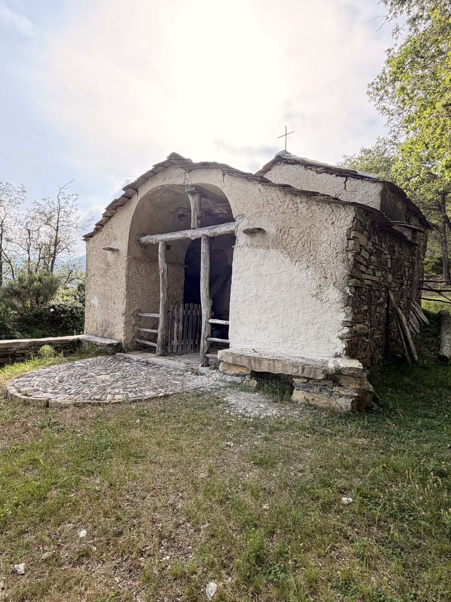
The start point can be anywhere close to Monte Saccarello. You can also start from Monesi, but the route becomes harder. The route runs almost exclusively on the ridge that is the watershed between the Arroscia and the Argentina valleys. From Monte Saccarello continue in the direction of Monte Fronte on a mountain track that offers stunning views of the Ligurian coast and, on clear days, of Corsica as well. From Monte Fronte head towards Colle del Garezzo, continue to Passo di Pian Latte Pian Latte Pass where you will turn right and uphill, until you reach the next valley, Valle Impero. From there, descend to Passo Mezzaluna and continue until you reach Ciotto di San Lorenzo where you can stop to admire the Pastore menhirs, place of worship and pagan rituals. Swoop into the beech forest of Rezzo on a mystical single-track that takes you to Passo Teglia, stay on the ridge and continue on the steep ramps - only for tough climbers - towards Monte Grande, the mountain that overlooks Impero valley. The descent from Monte Grande down to Colle D’Oggia is for experienced riders. Past Colle D’Oggia keep going for a few kilometers on asphalt in the direction of Ville Sanpietro, after about 4 km pick up the dirt road on the right that climbs towards the summit of Monte Squassi, where you will ride in the last alpine pastures before reaching the coast. A long single-track immersed in the typical Ligurian vegetation comes next and takes you to the bottom of the valley, to Imperia.



Access by car: Exit the motorway at the tollbooth of Imperia, continue on the National road SS548 in the direction of the Provincial road SP52 towards Molini di Triora, then turn onto the Provincial road SP89 to Triora.
Shuttle Service: available www.alpidelmareoutdoor.com/
Classification: XC Difficulty: extreme Rideability +/- : 100% Water Points: 2 Local Knowledge: www.alpidelmareoutdoor.com/
Oblíbené prohlídky v okolí
-
Historic Mountain Routes | High Salt Road
heavyMountainbike 104.8 km -
4.0
IM_11 Ring path of Pizzo d’Evigno
Turistika 10.8 km -
The Upper Salt Road, from the Alps to the sea
heavyMountainbike 112.7 km -
IM_13 Ring path of Triora
Turistika 8.70 km -
Dolcedo-Valloria, Italien
světloTuristika 11.2 km -
IM_22 Le fortificazioni del Colle di Nava
Turistika 6.01 km -
5.0
Rundweg um Badalucco
světloTuristika 4.07 km -
IM_02 Passo della Teglia - Passo della Mezzaluna - Monte Mónega
Turistika 14.3 km -
5.0
Passeggista dei Ponti / Santa Brigida in Dolcedo, Ligurien/Italien
Turistika 7.59 km -
IM_04 Monte Saccarello da Realdo
Turistika 6.09 km
Pěší turistika a stopování


Nenechte si ujít nabídky a inspiraci pro vaši příští dovolenou
Vaše e-mailová adresa byl přidán do poštovního seznamu.





