






Clock Tower
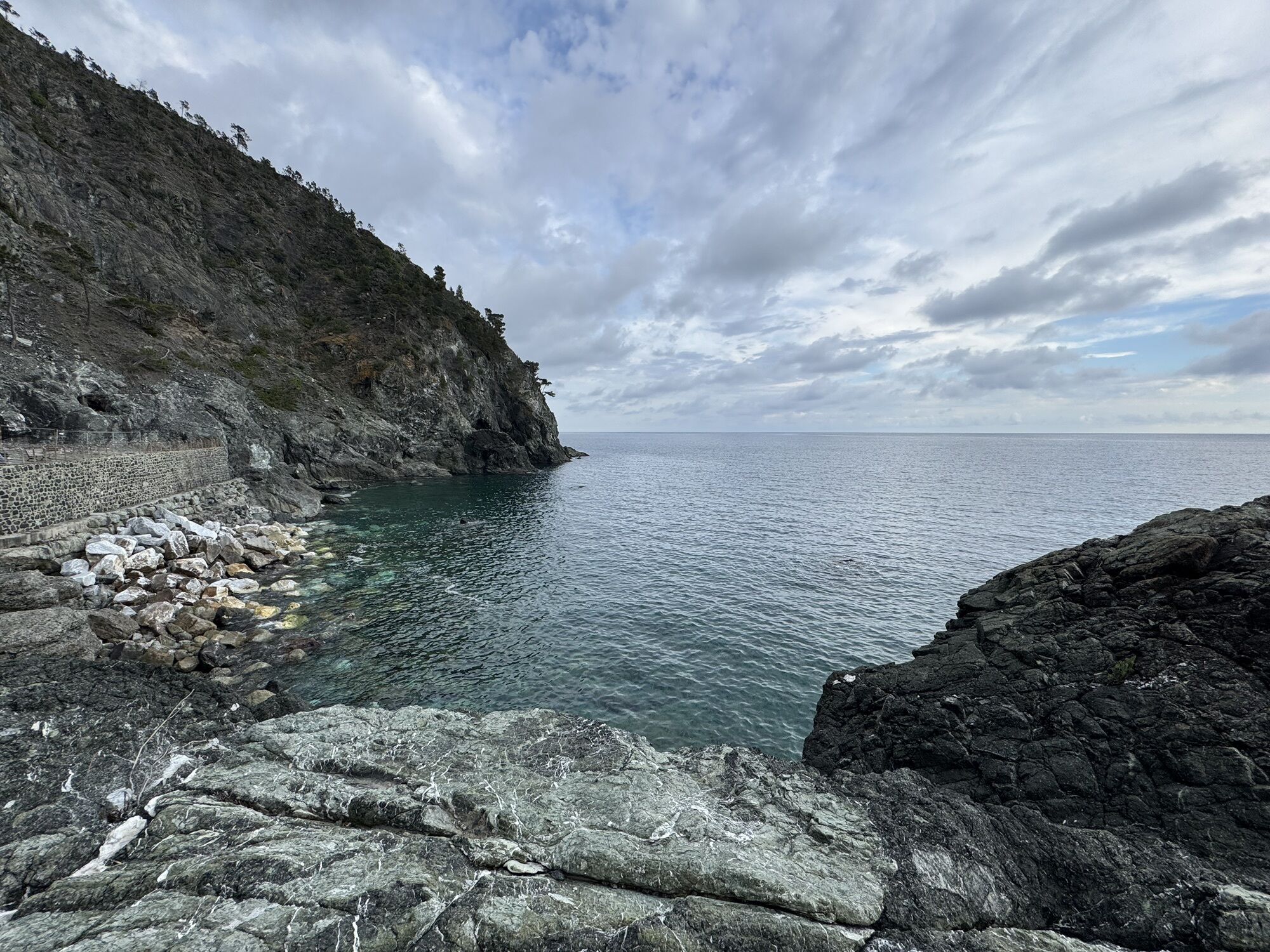
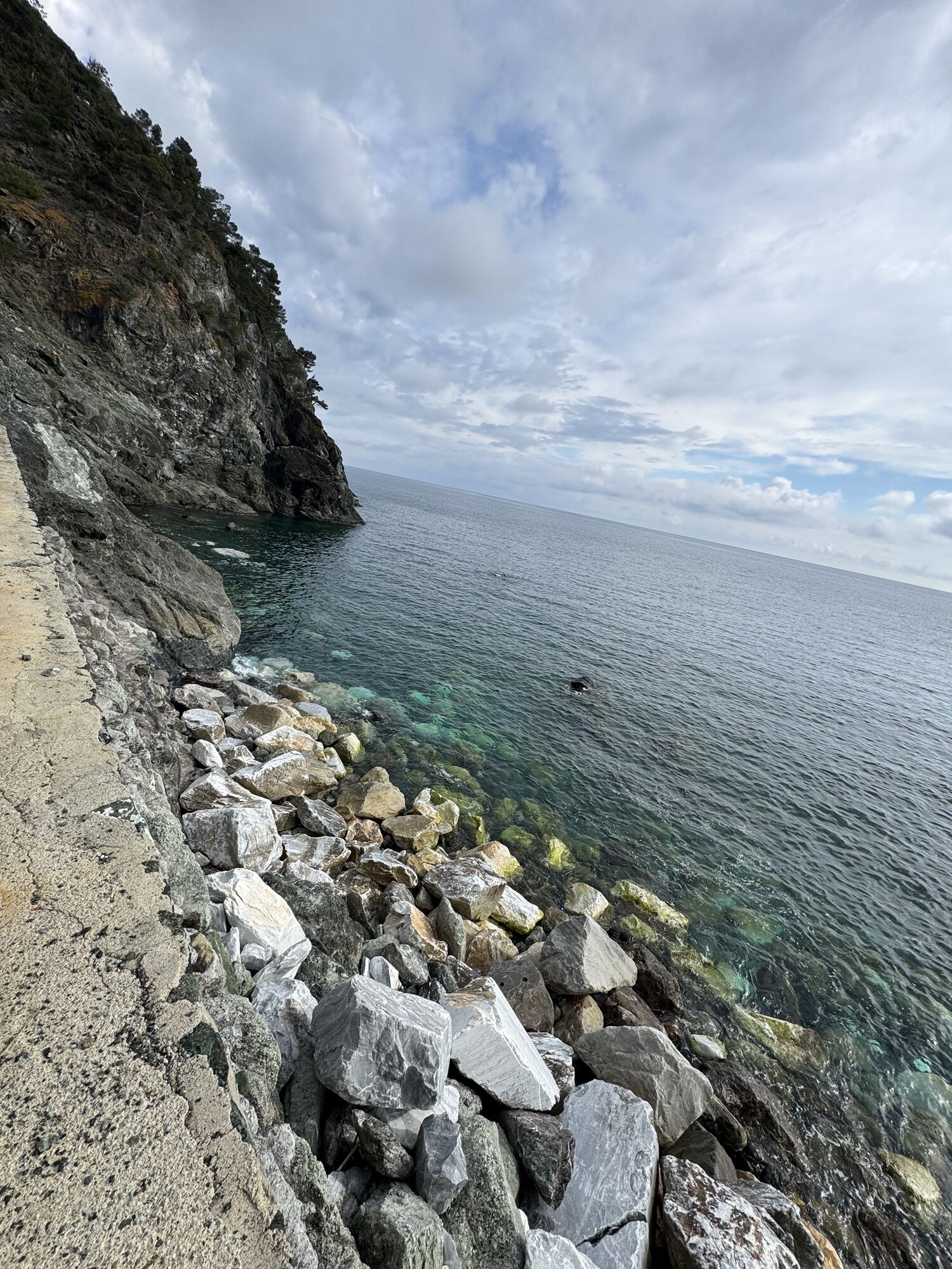
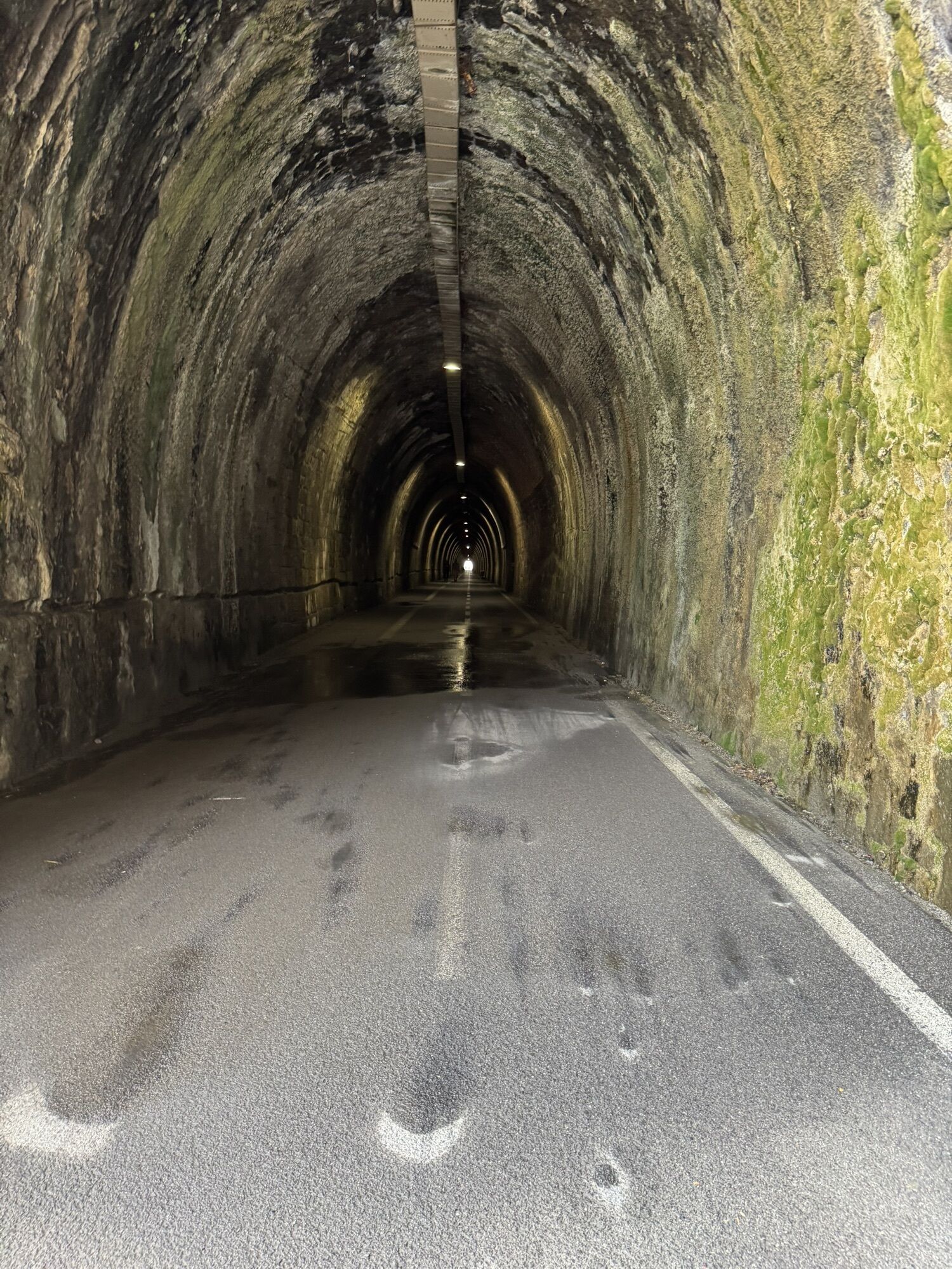
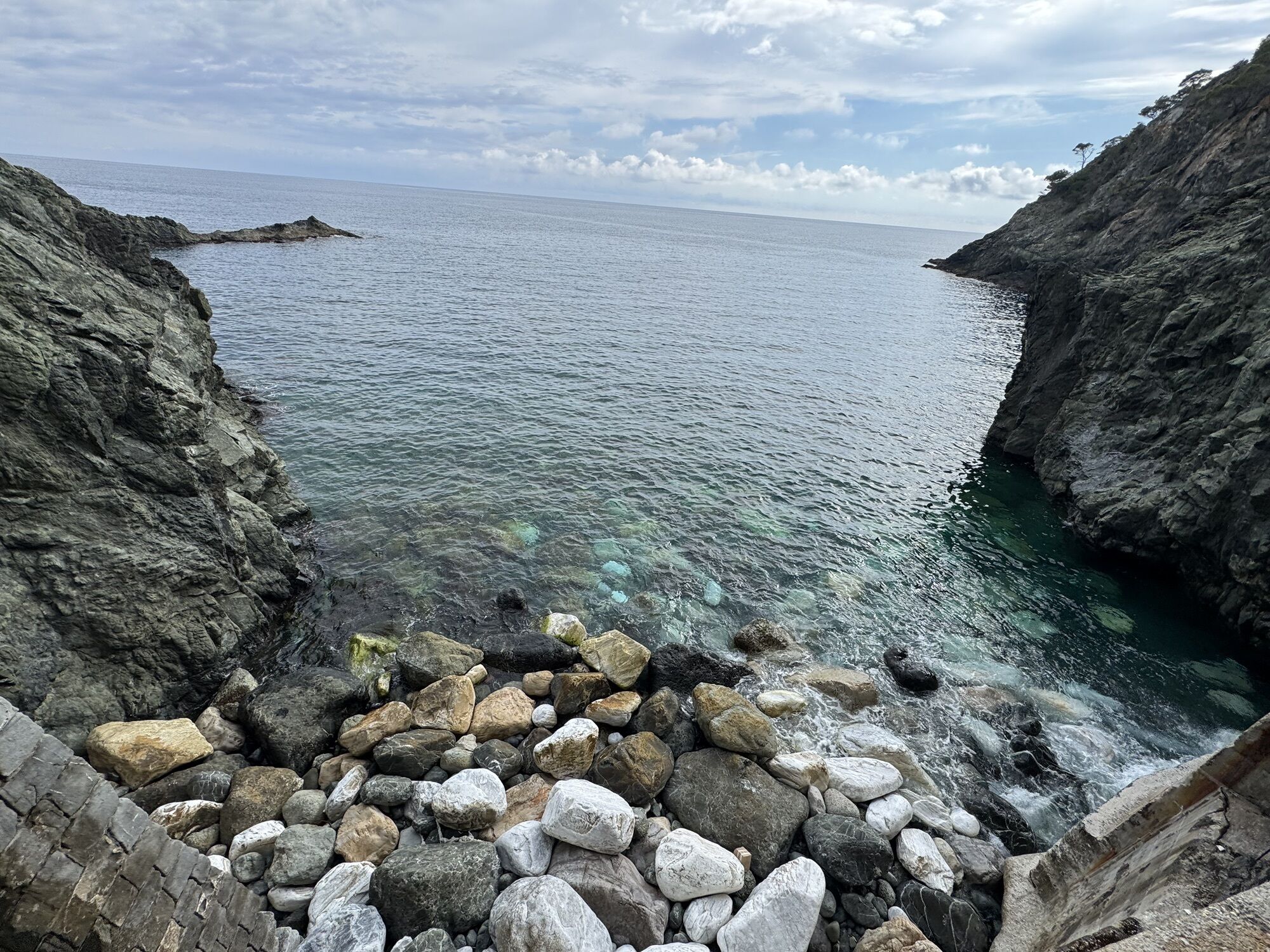
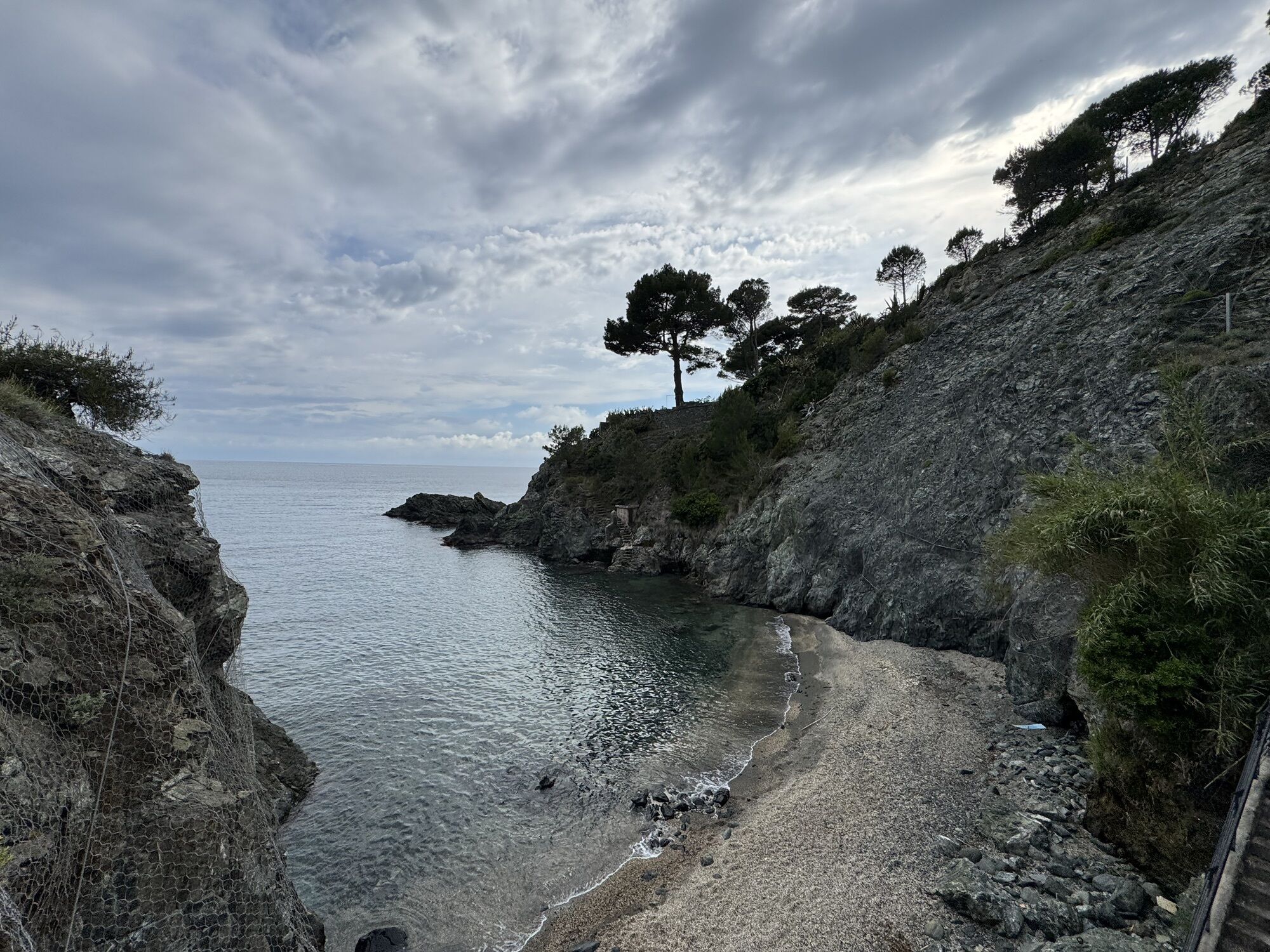
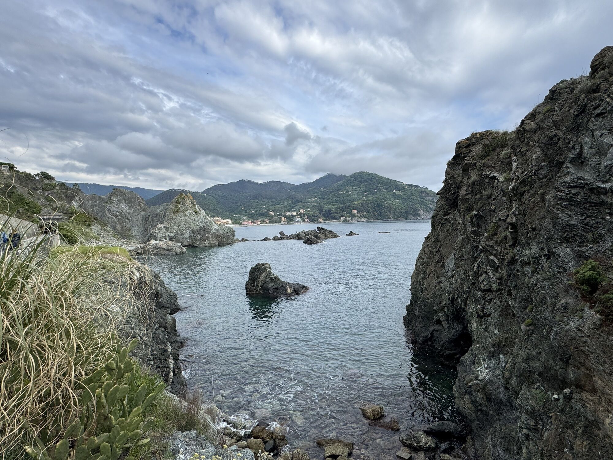
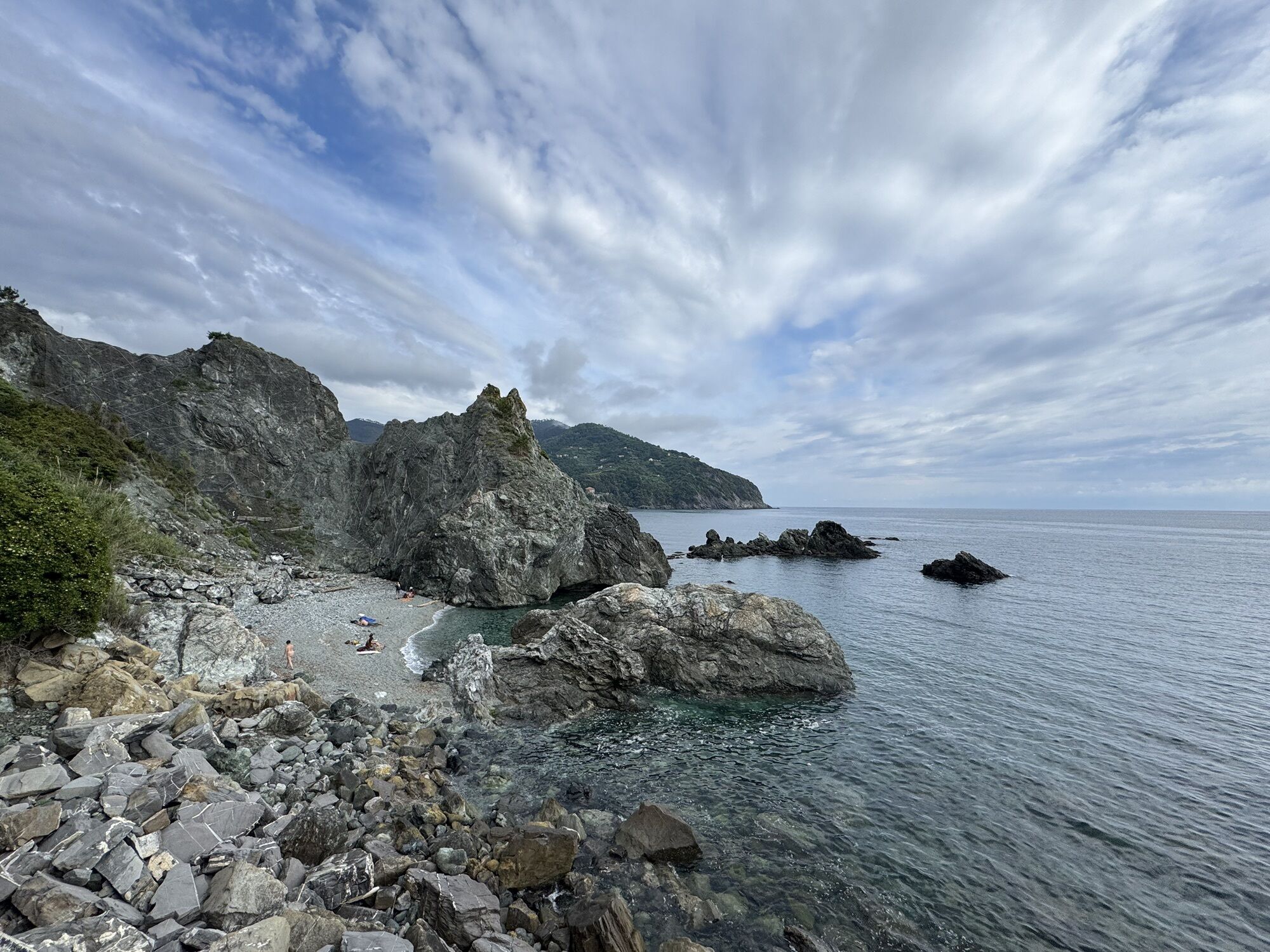
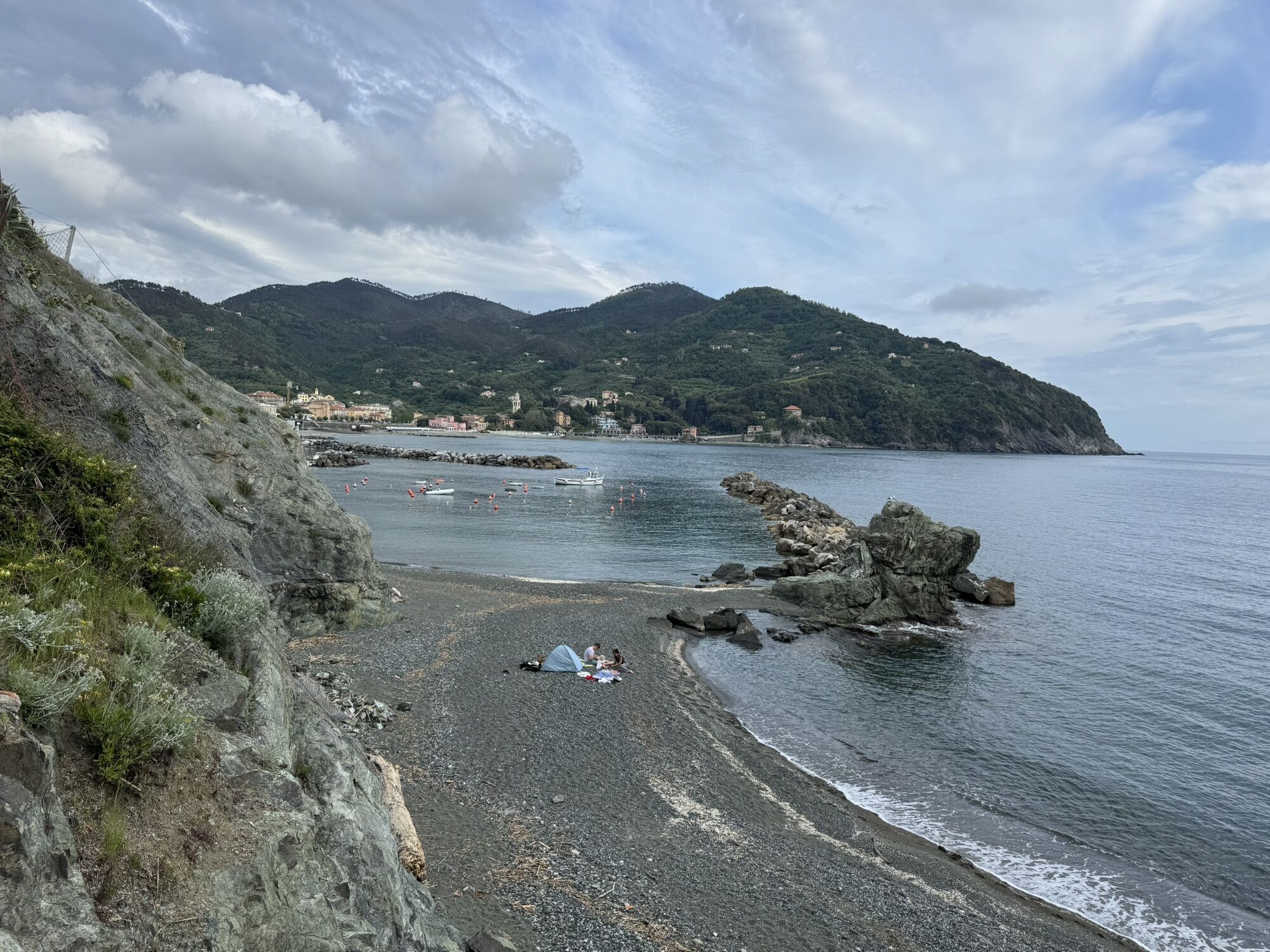
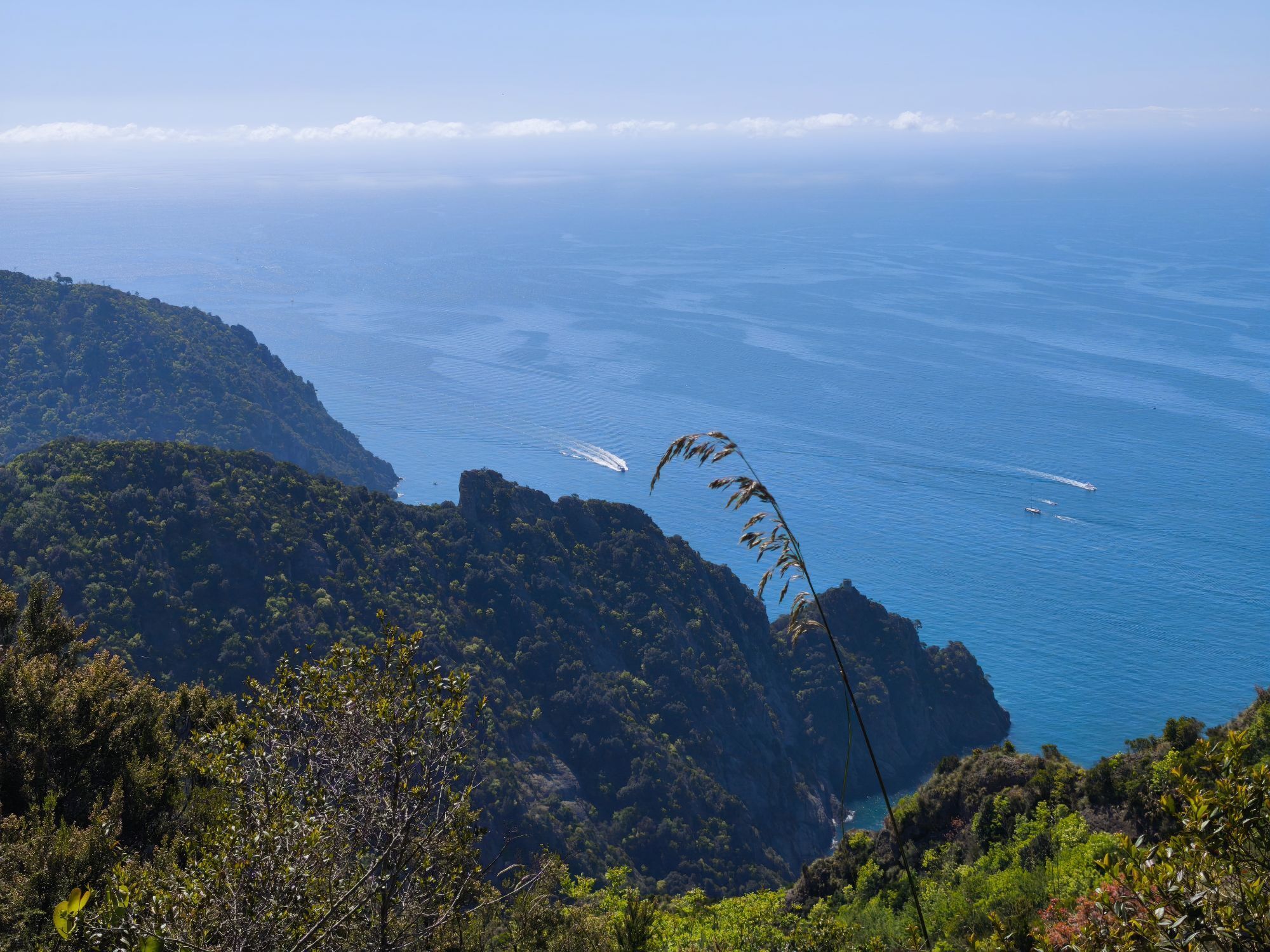
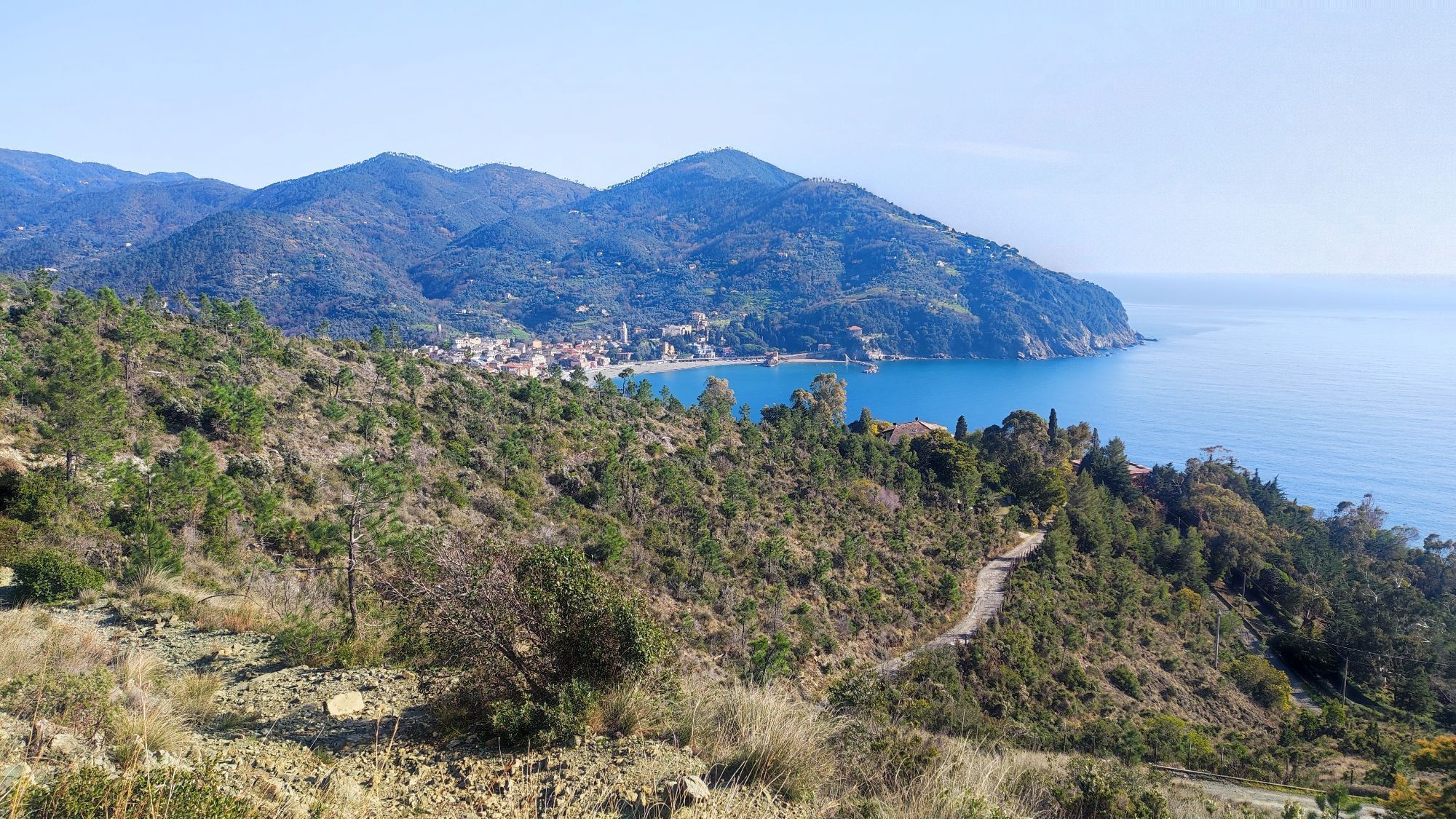
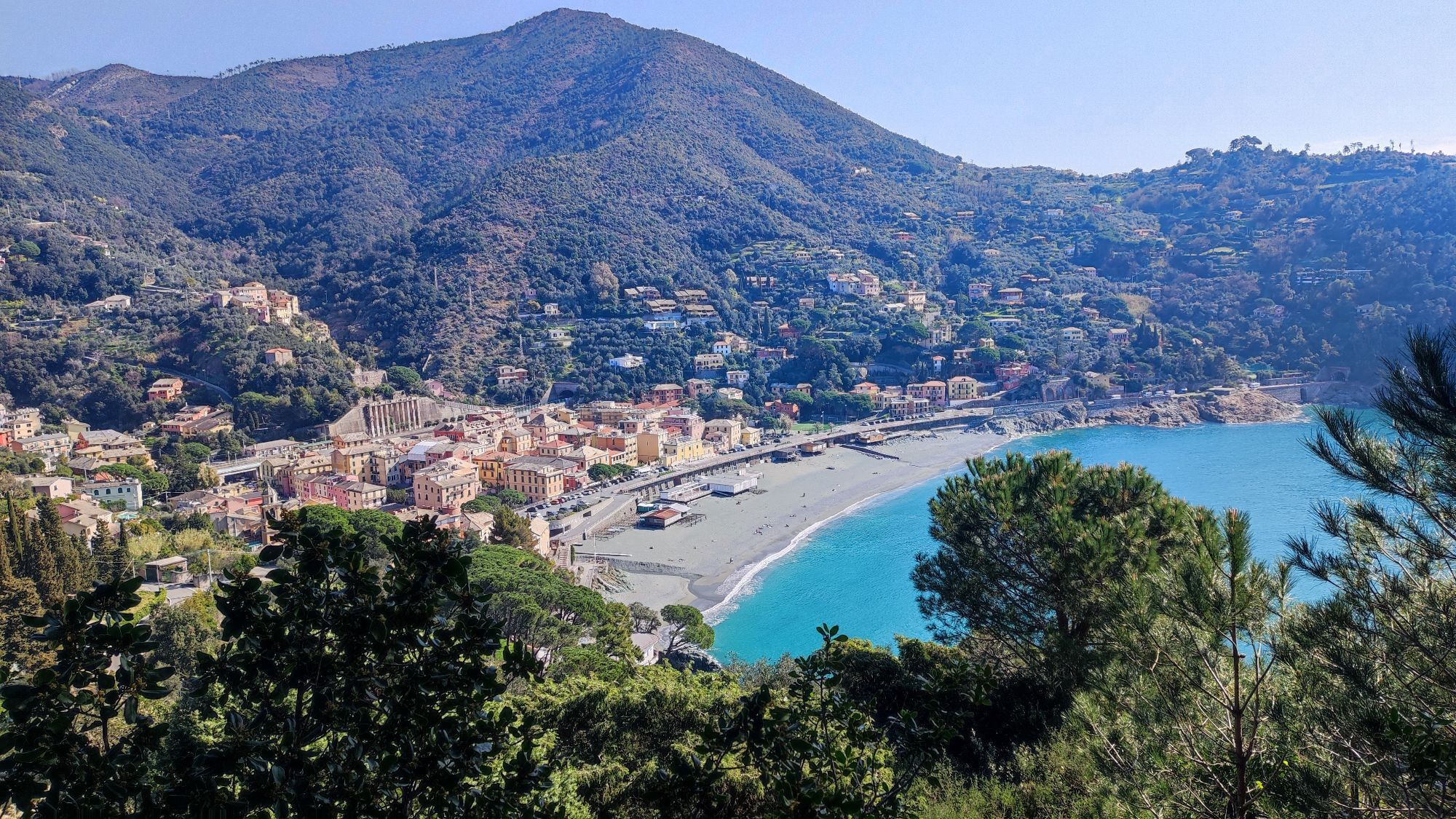
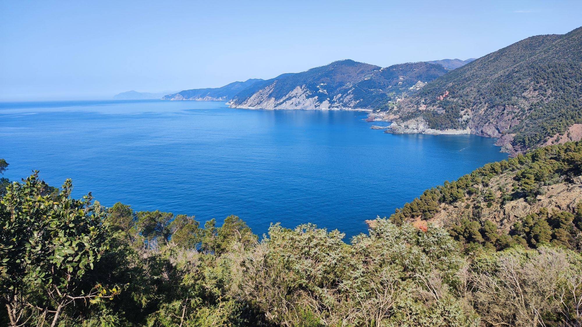
The route starts from Levanto. Ride along Via Trento and Via Trieste in the direction of Bonassola, as far as Pian Pontasco-Framura, where a slightly uphill slope takes you into the village. Go ahead and...
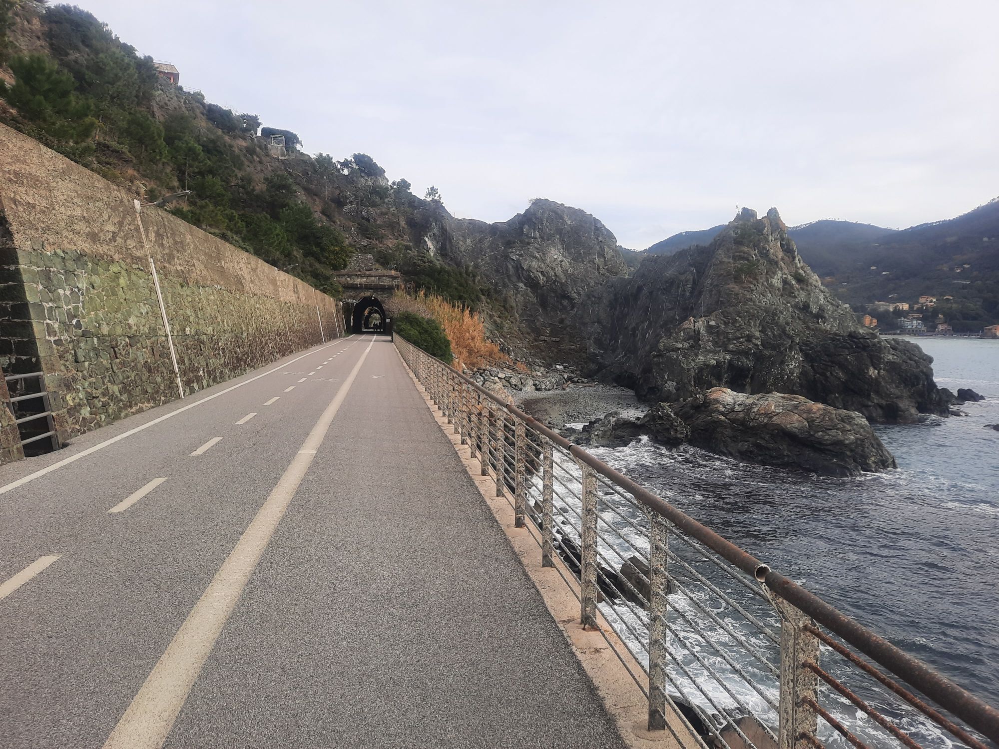
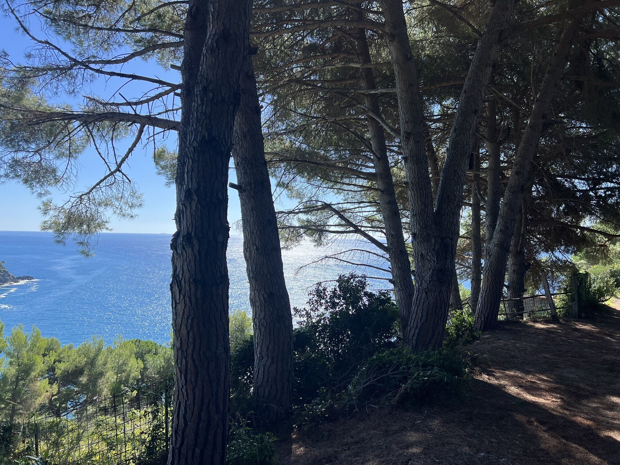
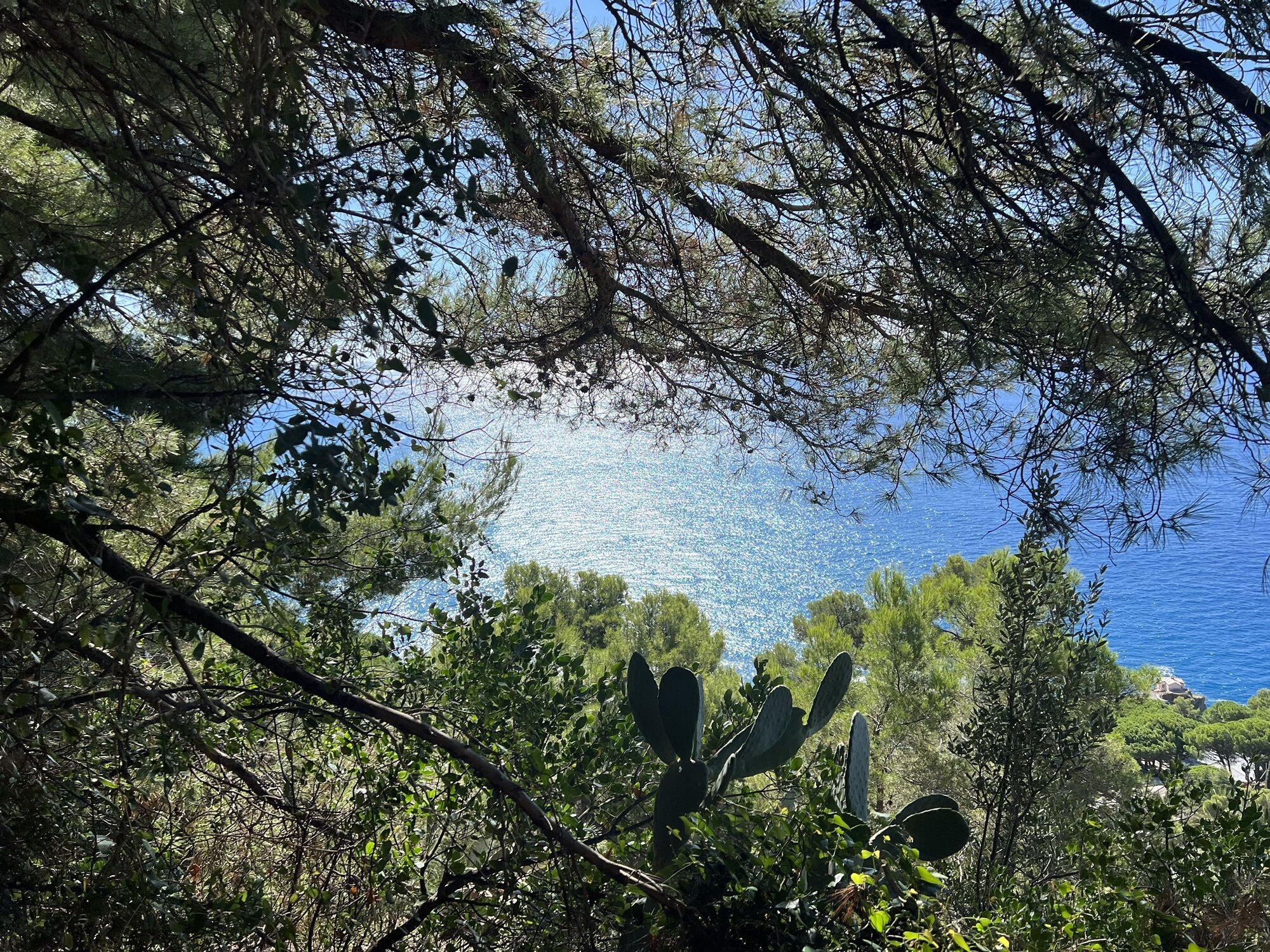
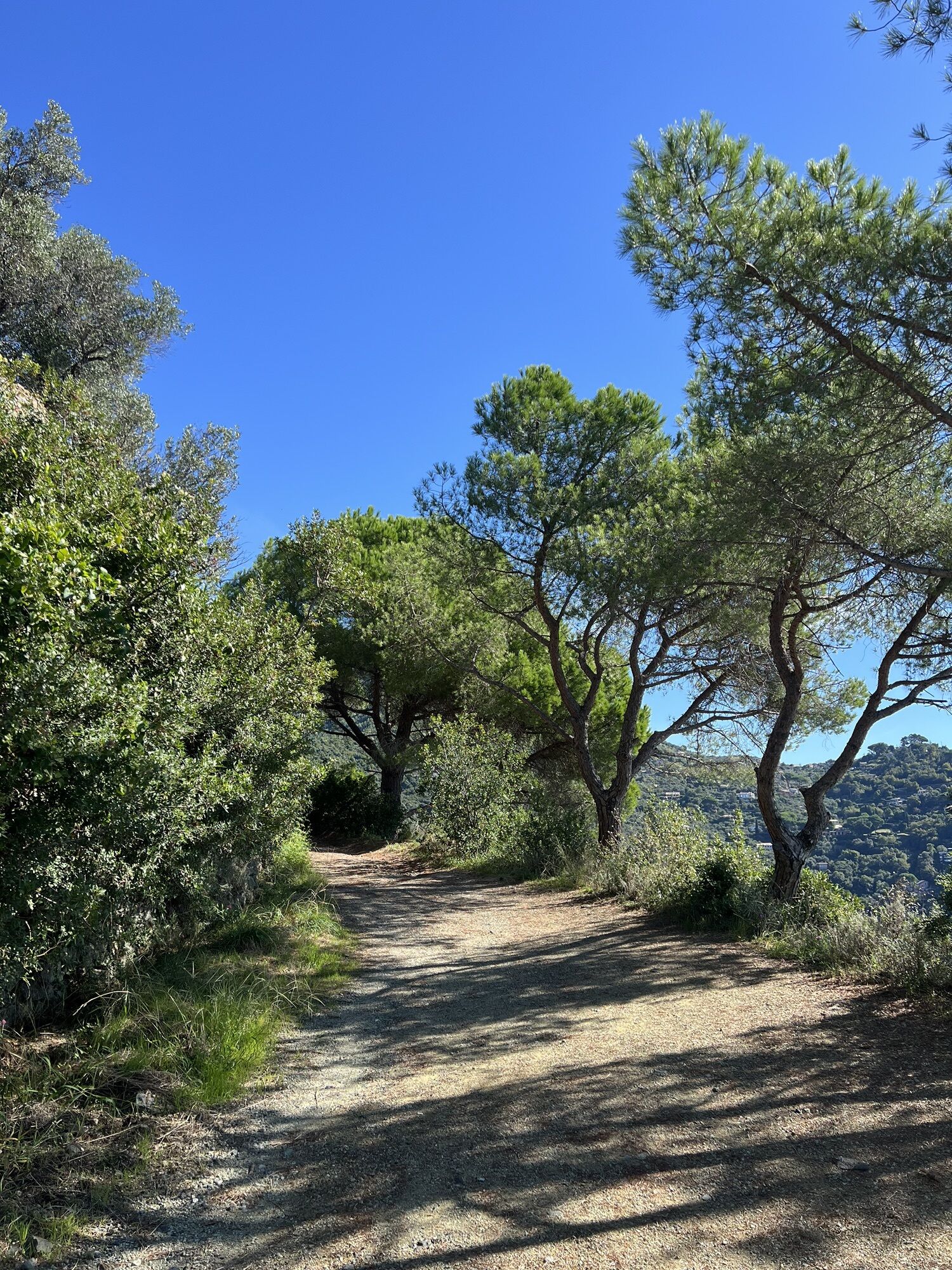
The route starts from Levanto. Ride along Via Trento and Via Trieste in the direction of Bonassola, as far as Pian Pontasco-Framura, where a slightly uphill slope takes you into the village. Go ahead and turn left at a wide dirt clearing with a number of merging tracks and a large REL Liguria Hiking Network trail map. From there, enter the pine forest along a single-track that climbs initially steep, but that soon eases up and rewards with a view as stunning as those you get from high peaks. Follow the track that leads into the pine forest for about 1 km, through ups and downs, until you reach the edge of the woods and the junction with a wider gravel road; turn right and continue straight to a wooden bench. This is the start point of a fast descent with a number of jumps and berms: put on your protection if you have not done so already. Keep on track until you reach a junction where the descent seems to finish: turn onto the plateau to your left (do not turn right, otherwise you will return to Levanto) and then continue into the dense woods on a single-track that climbs with very steep ramps, only 10-30 m long (mind the unstable ground). Go straight and leave the woods, with the valley in view. Stay on the single-track descending slightly; after a section that keeps you at elevation with short ups and downs, you will then descend a little and reach a crossroads. Turn right, there is a water tank there. Then head uphill on a wide track until the route starts to descend along a wide dirt road, accessible to vehicles but fast and exciting. Continue to Foce di Dosso on asphalt until you reach Bardelone. Along the climb you will come across a few tracks that go downhill; continue for 3 km until you find an asphalt road that goes down to the left. Keep going for 10-15 m more and, on your left, pick-up the single-track that goes downhill along Serro trail. This descent through the woods has some technical passages and takes you to Colle di Gritta. Now you have to follow the GPS track, because there are not specific references to indicate where to turn. The best check-points are: Madonna del Soccorso, Sopramare (be careful in some downhill passages, very steep and not rideable), Torre Orologio and Levanto.

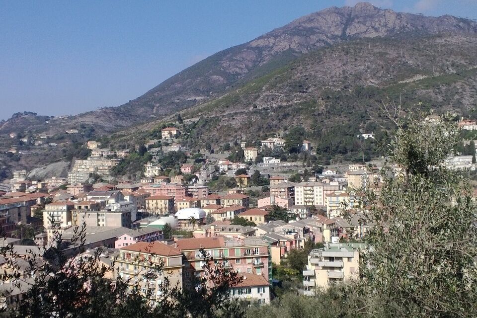


Access by car: Exit the motorway at the tollbooth of Corrodano-Levanto, then continue on the Provincial road 566 in the direction of Levanto.
Shuttle Service: available www.facebook.com/groups/2319FREERIDEL...
Levanto (SP)
Classification: EN Difficulty: intermediate/difficult Rideability +/- : 100% Water points: 1 Local Knowledge: www.facebook.com/groups/2319FREERIDEL... Notes: possible lack of maintenance
Oblíbené prohlídky v okolí
-
5.0
Levanto nach Monterosso
středníTuristika 6.83 km -
4.7
Monterosse - Vernazza
středníTuristika 4.68 km -
4.5
Bonassola-Levanto-Monterosso
světloTuristika 10.9 km -
4.7
Leg 7 from Moneglia to Sestri Levante
Turistika 15.2 km -
4.5
GE_02 Sestri Levante – Punta Manara
Turistika 2.26 km -
5.0
SP_21 Ciclopedonale Levanto – Bonassola – Framura
Turistika 6.70 km -
5.0
SP_13 Ring path of Levanto
Turistika 8.18 km -
SP_12 Framura - Bonassola
Turistika 3.82 km -
SP_22 High Way of the Cinque Terre
Turistika 65.0 km -
5.0
GE_04 Ride to Bargone ring
Turistika 9.84 km

Pěší turistika a stopování


Nenechte si ujít nabídky a inspiraci pro vaši příští dovolenou
Vaše e-mailová adresa byl přidán do poštovního seznamu.





