






SP_13 Ring path of Levanto

from Levanto railway station follow the asphalt road uphill. At the first roundabout turn right and then left (Cinque Terre sign). Beyond a little bridge, where the road turns right, leave the asphalt...
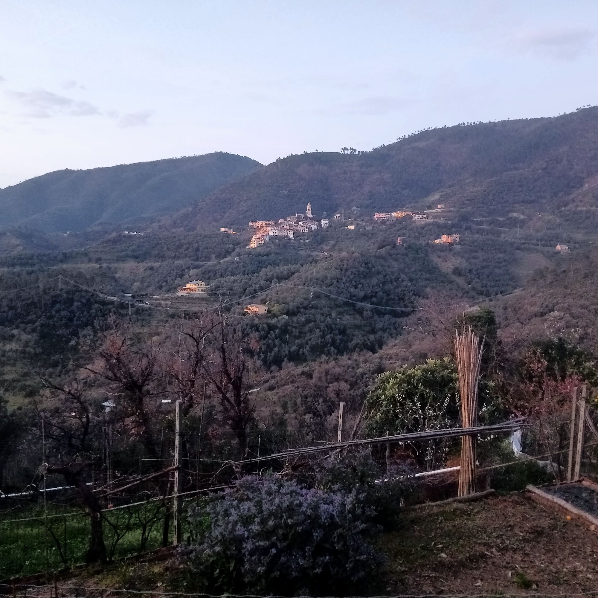
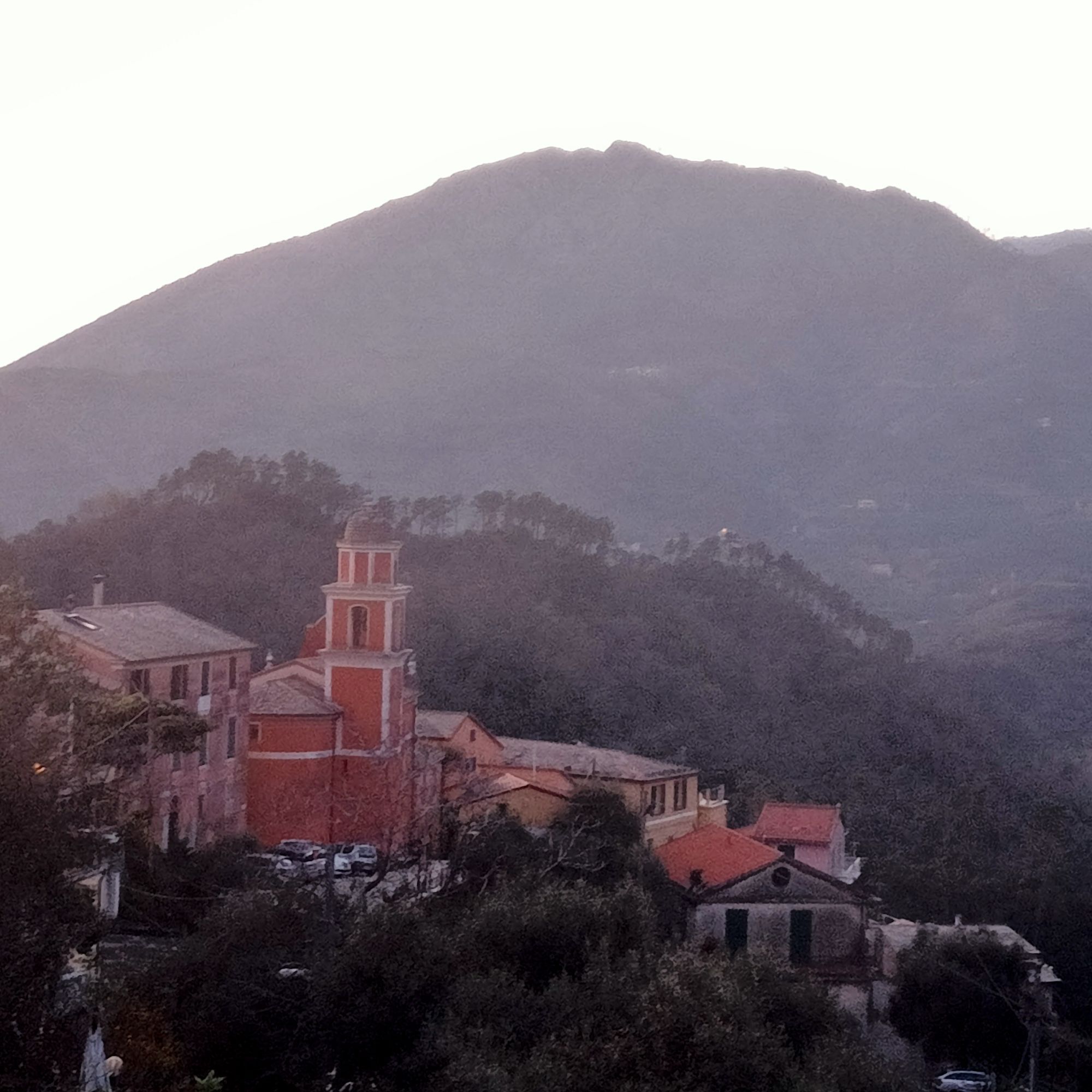
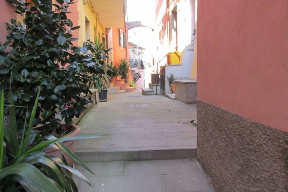
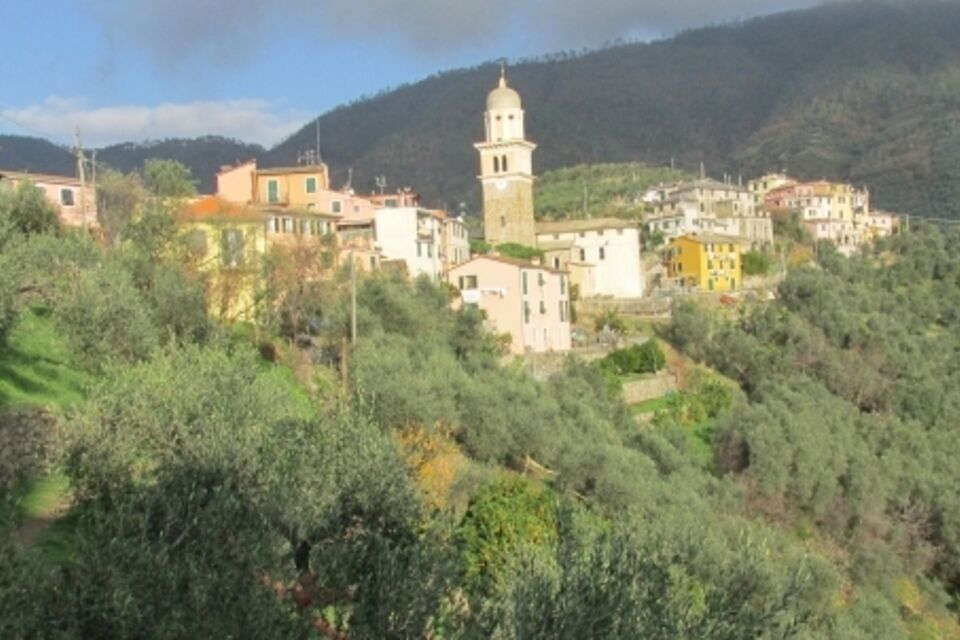
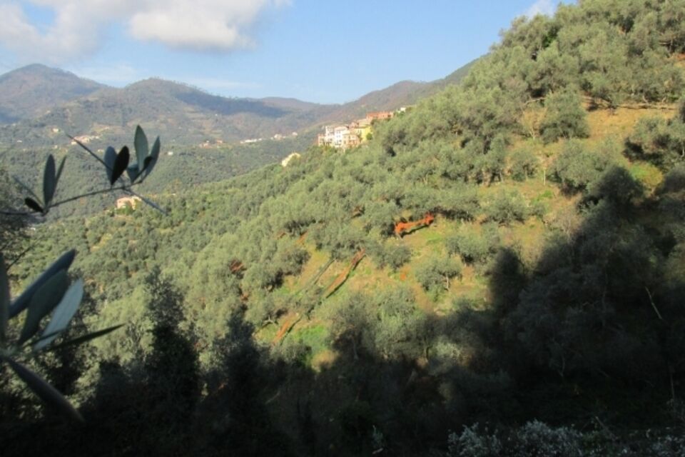
from Levanto railway station follow the asphalt road uphill. At the first roundabout turn right and then left (Cinque Terre sign). Beyond a little bridge, where the road turns right, leave the asphalt surface and follow a mule-track uphill (REL 575 sign panel). Walking uphill through olive groves you reach the asphalt road again (98 m above the sea level; hamlet of Ridarolo) which you follow going left as far as the little church of San Bartolomeo (182 m; 45 minutes). Past the church you take a level footpath on the left which cuts across the hillside (REL 575 sign panel). This panoramic trail crosses a maritime pines wood and other olive groves. After a little bridge, walking gently uphill you reach the village of Pastine Superiore (180 m). Pass the church and follow the main hallway on the right between the houses. After a few metres turn left under a concrete staircase and follow a level asphalt road. Pass a bridge and some olive orchards until the footpath descends with some curves as far as an asphalt road. Follow this road walking leftwards for a few metres as far as a little path which descends to the right and takes to the hamlet of Lerici (147 m). Turn right past the church and follow the footpath which goes into the little valley. After an old stone mill you reach a crossroads where you follow the sign for Montale (REL 570 trail sign). The track crosses a little valley: after an iron little bridge you reach the first houses of Montale (155 m). Leaving to the left a secondary road downhill, walking on flat ground you reach the square in front of the church of San Siro (nice rest point). Turn left and, passing between the houses or beside them, you reach the mule-track for Levanto. Following the mule track downhill with steep hairpin turns you reach the hamlets upstream of Levanto. Find the asphalt road, turn left and a little way ahead cross the national road which you follow going left. You shortly arrive at Levanto railway station (3 hours in total).



by train: (Genova-La Spezia railway line) get off at Levanto station
from Carrodano motorway exit (A12 Genova-Livorno) follow the signs for Levanto which you reach in 20 minutes. In Levanto you can park by the station (large play and display car park).
Nature and Landscape * * * * * Family * * * * Gourmet * * * * Culture * * * * *

Oblíbené prohlídky v okolí
- 5.0
Levanto nach Monterosso
středníTuristika 6.83 km - 4.7
SP_07 Manarola - Volastra - Corniglia
Turistika 5.75 km - 4.2
Leg 4 from Riomaggiore to Monterosso
Turistika 15.1 km - 4.8
Monterosse - Vernazza
středníTuristika 4.68 km - 4.0
"Cinque Terre Wanderung" - 40km durch fünf verträumte Dörfer in Italien
světloTuristika 37.7 km - 4.3
Bonassola-Levanto-Monterosso
světloTuristika 10.9 km - 4.0
SP_21 Ciclopedonale Levanto – Bonassola – Framura
Turistika 6.70 km - 5.0
Cinque Terre
středníTuristika 2.17 km - 5.0
SP_12 Framura - Bonassola
Turistika 3.82 km SP_22 High Way of the Cinque Terre
Turistika 65.0 km
Pěší turistika a stopování


Nenechte si ujít nabídky a inspiraci pro vaši příští dovolenou
Vaše e-mailová adresa byl přidán do poštovního seznamu.





