





Leg 7 from Moneglia to Sestri Levante
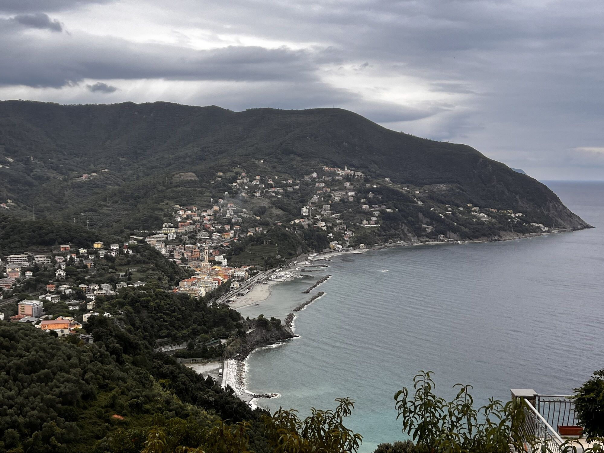
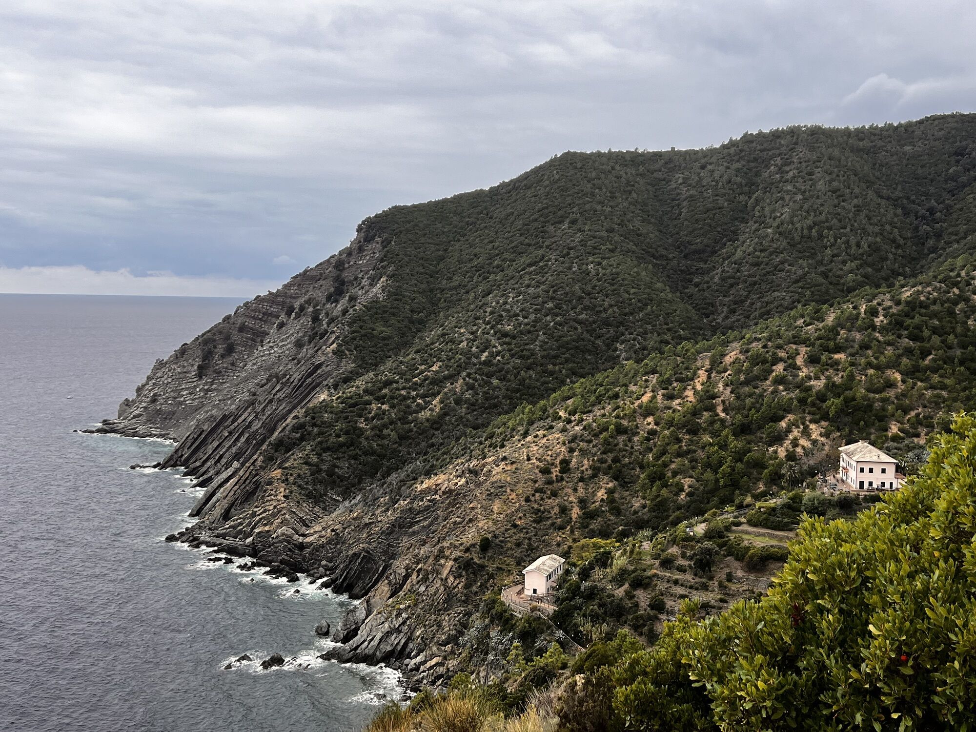
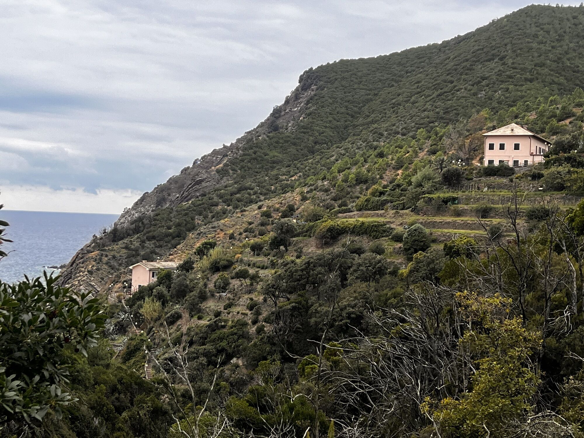
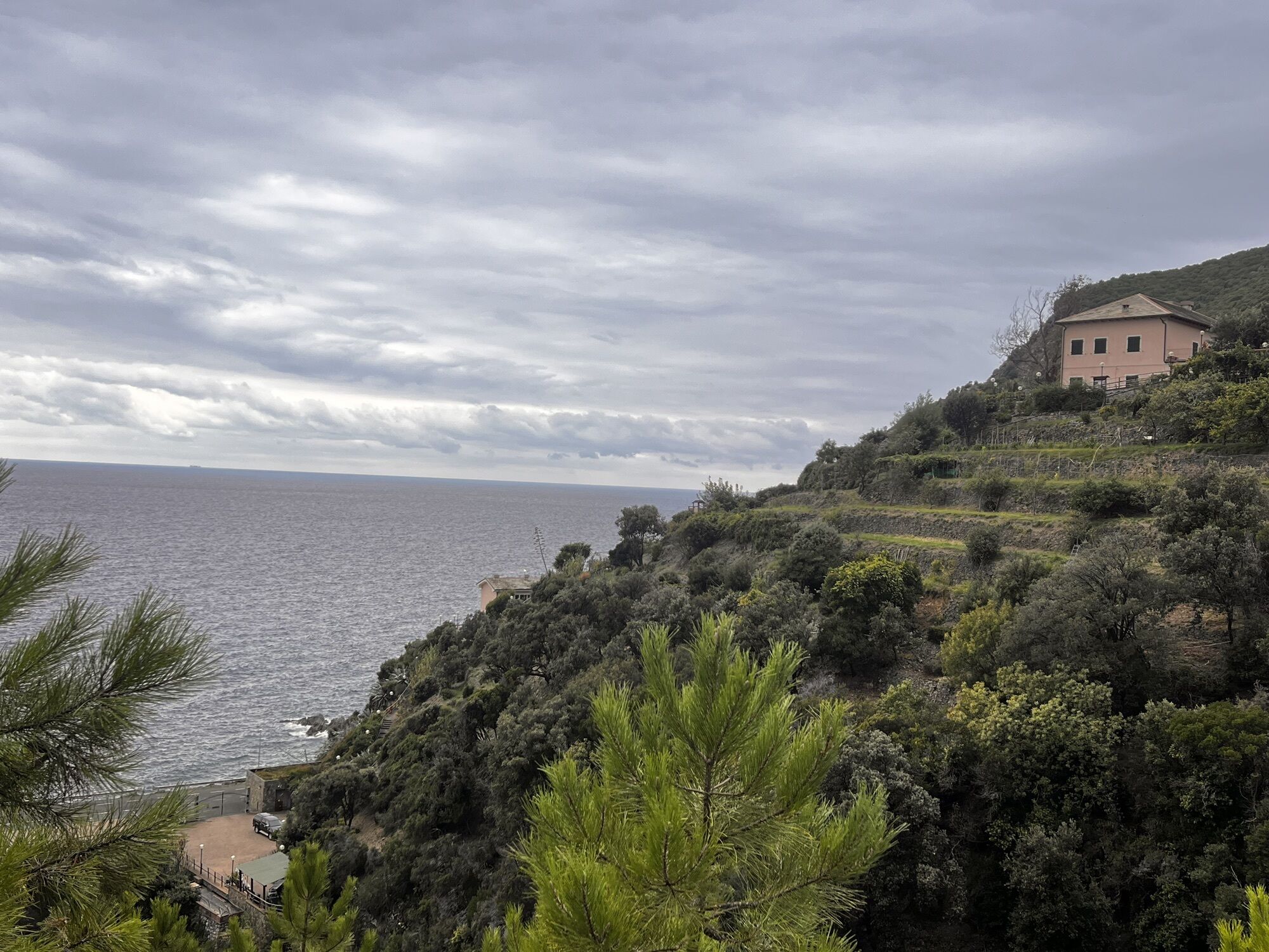



the leg, that ends in the “caruggi” (alleys) of the historic centre of Sestri Levante, develops almost entirely in two Sites of Community Importance (SCI): one shared between the municipalities of Moneglia,...
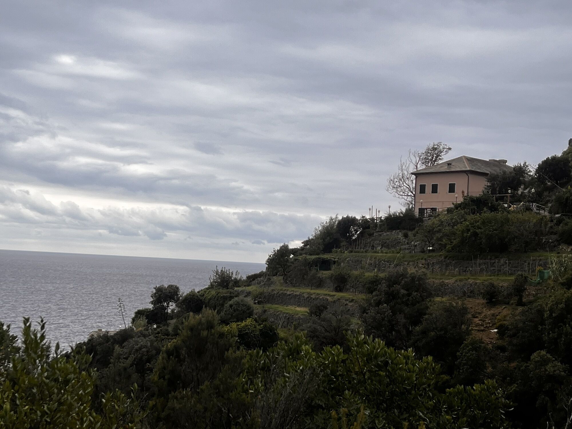
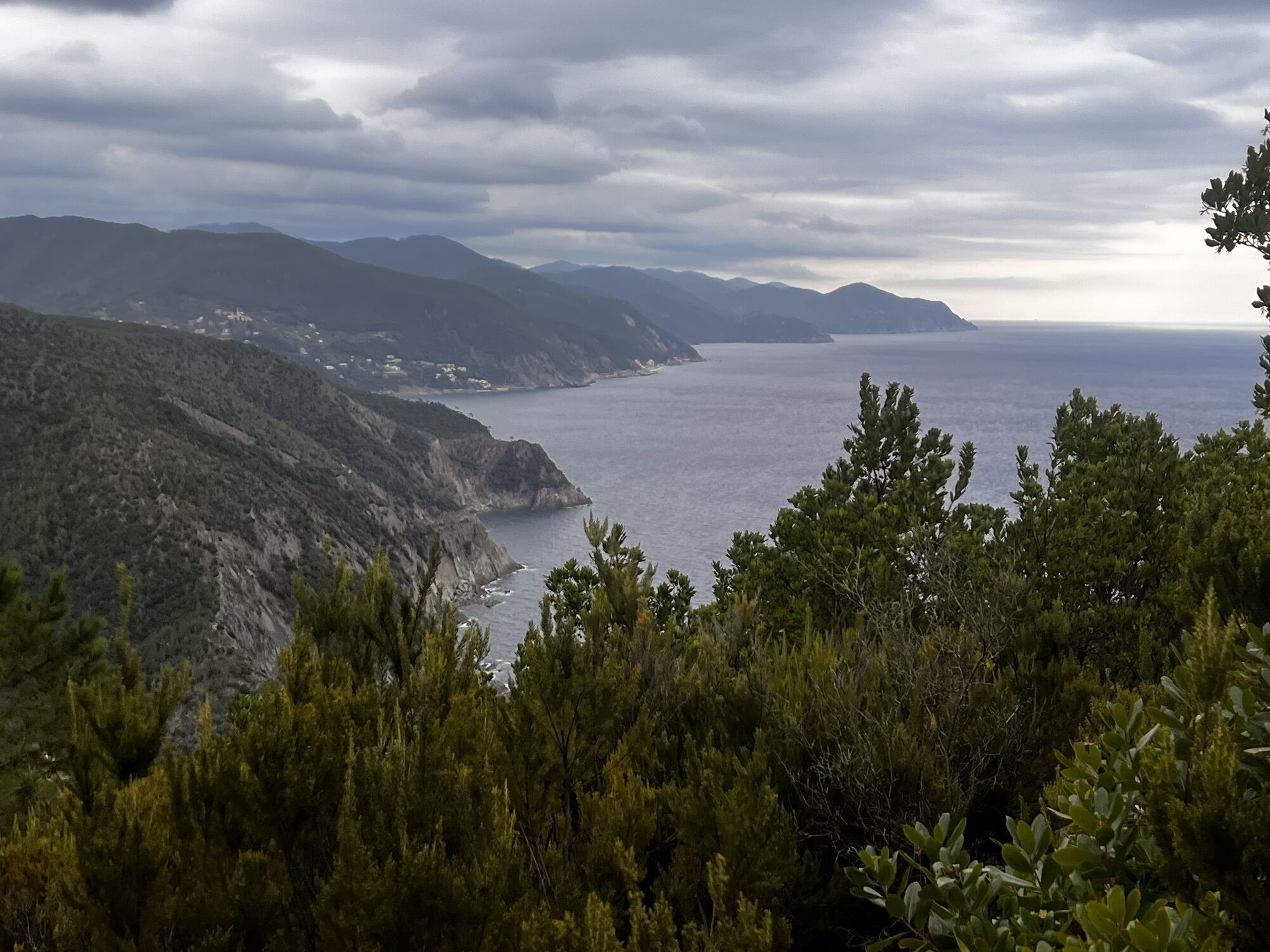
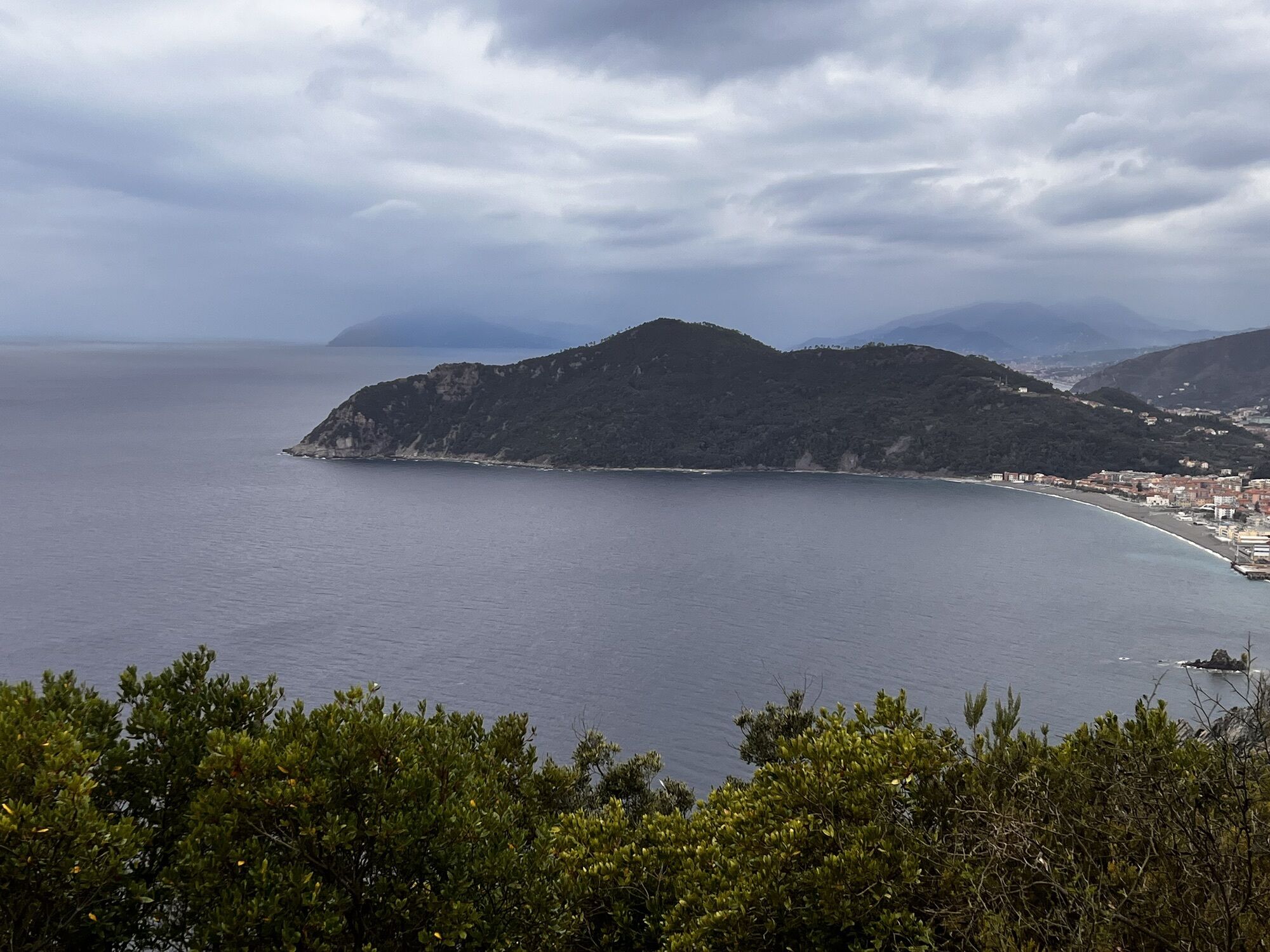
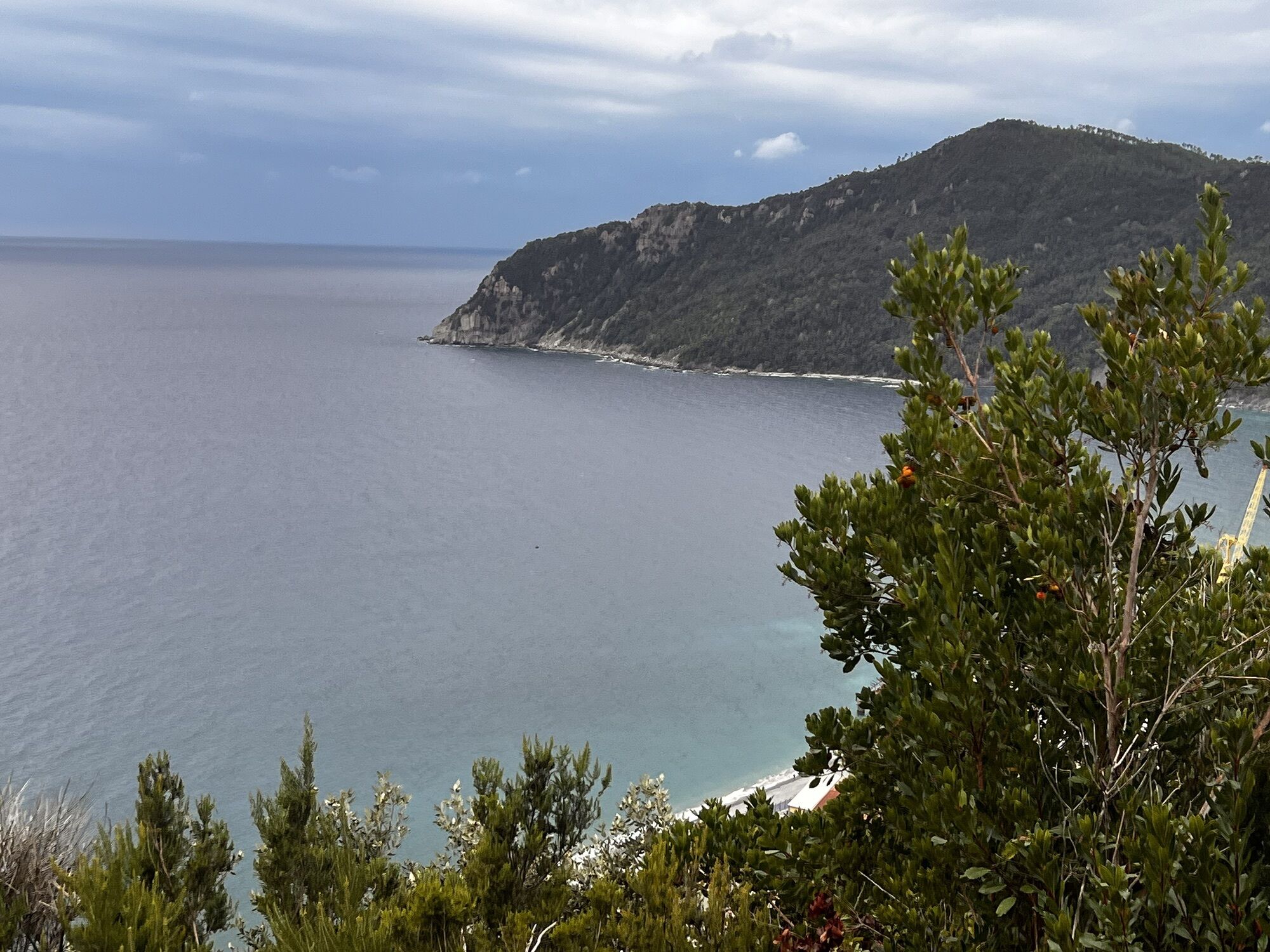
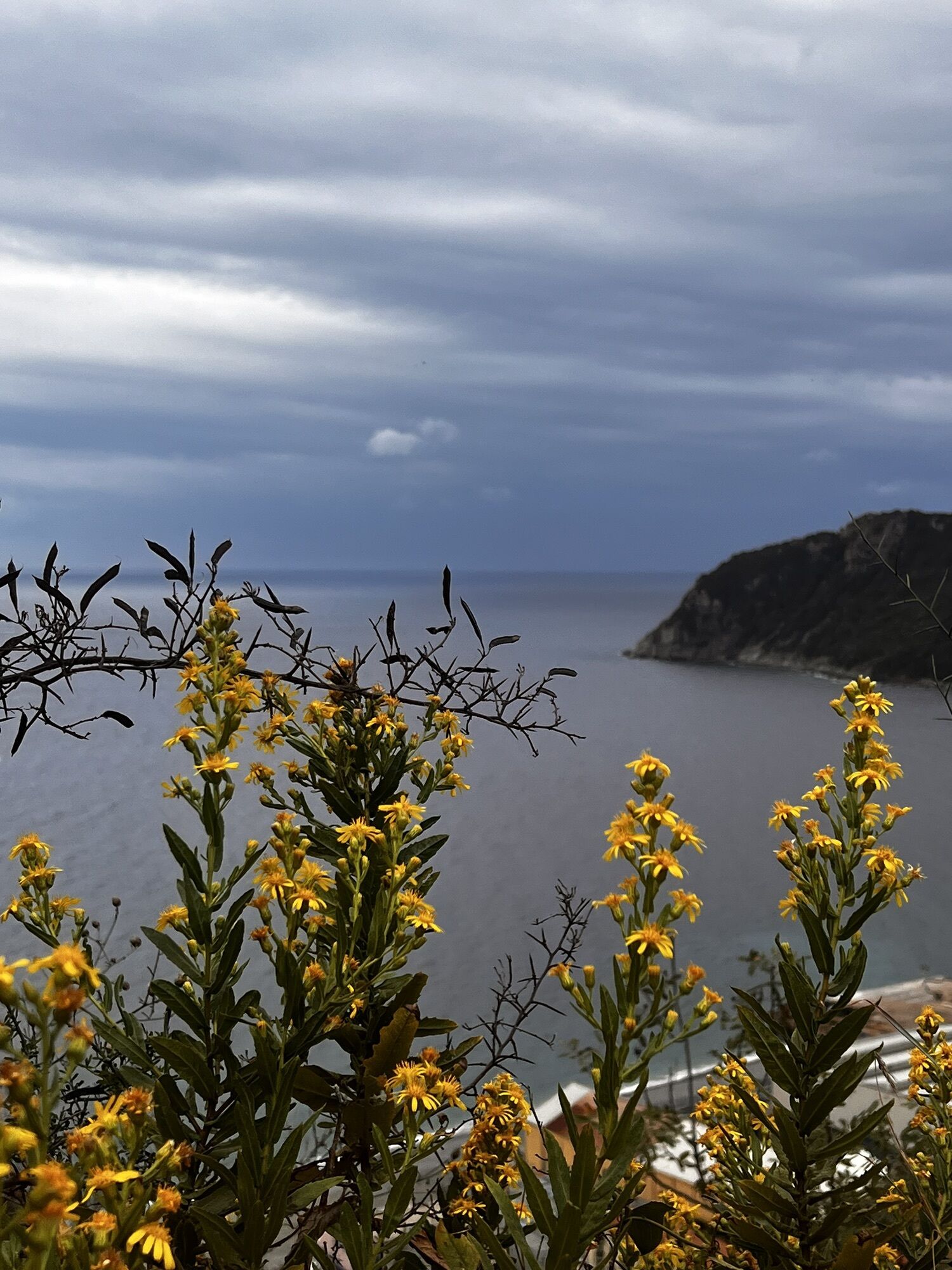
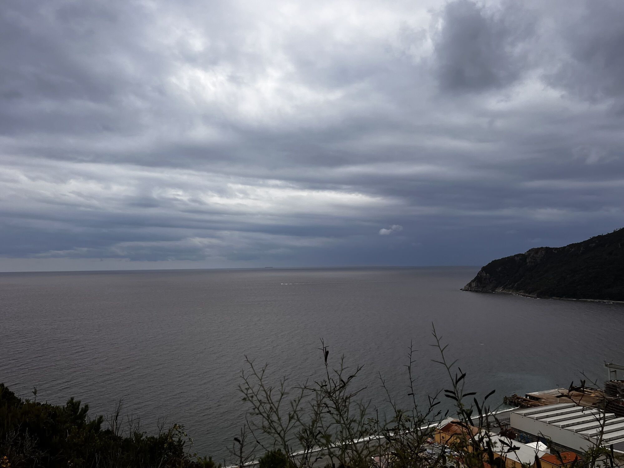
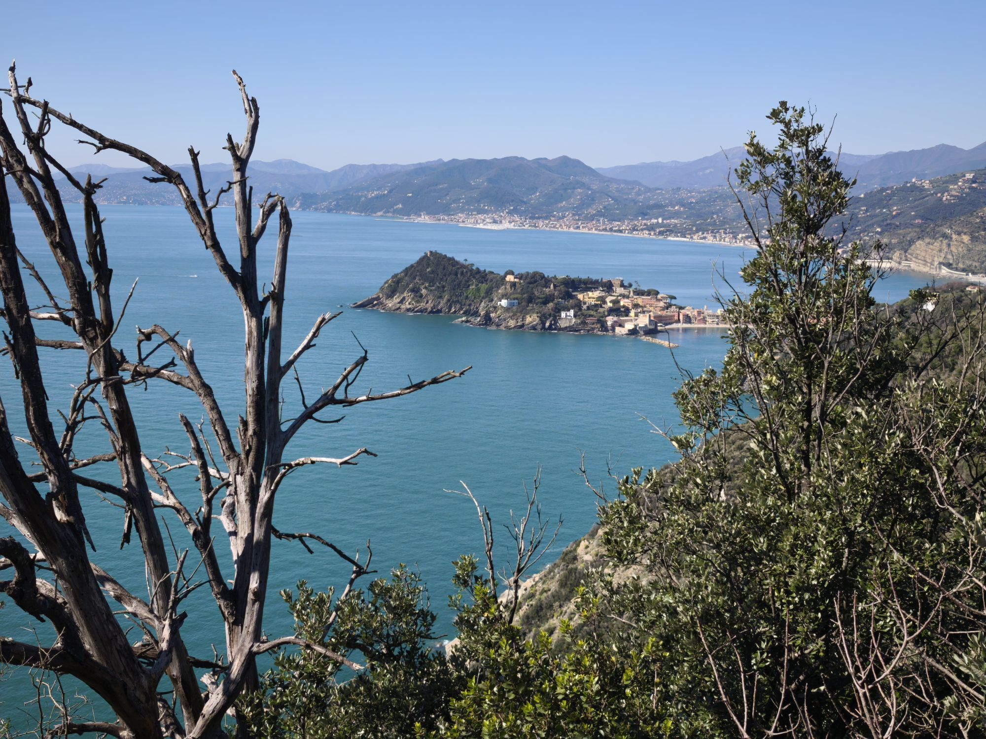
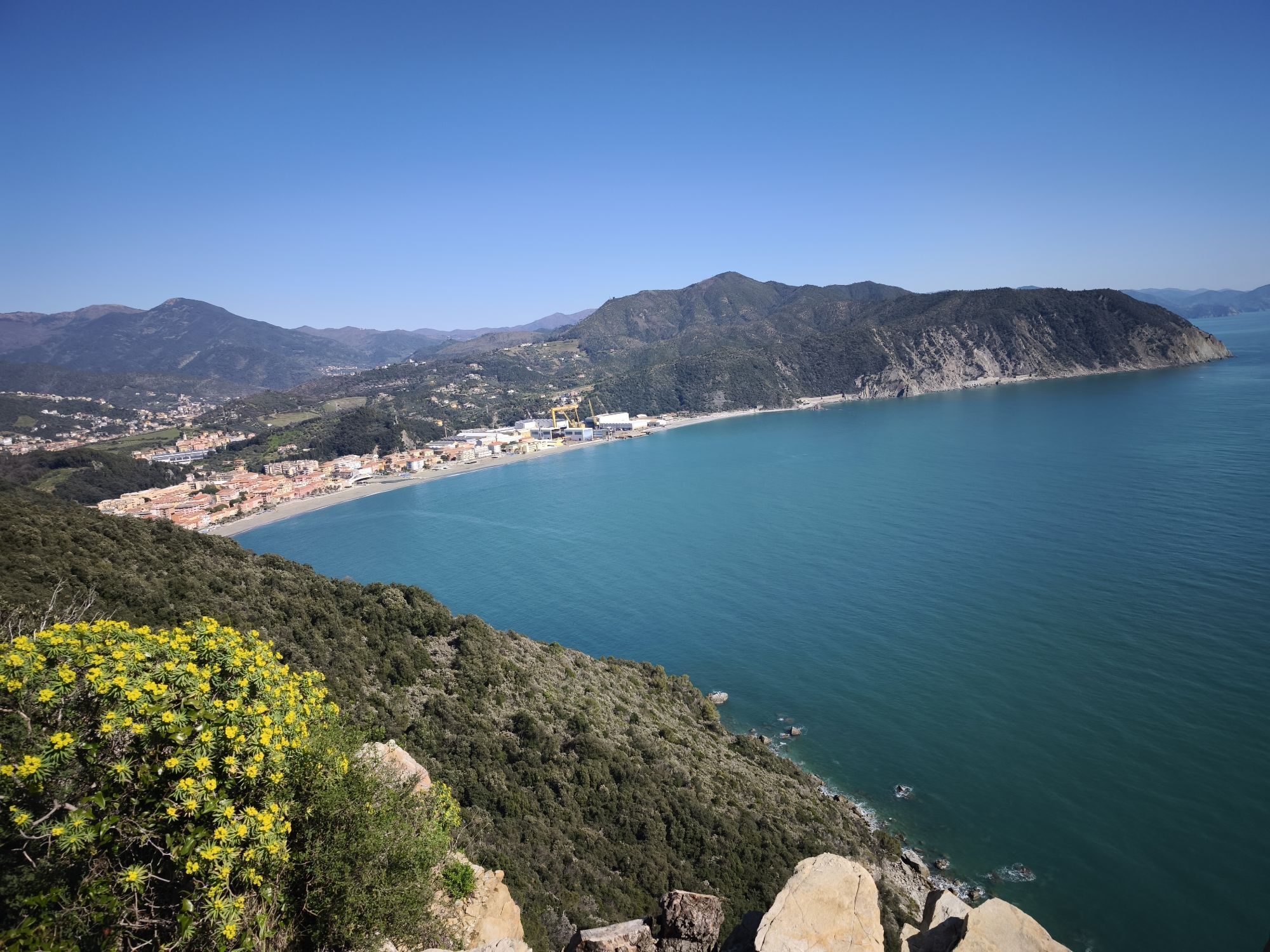
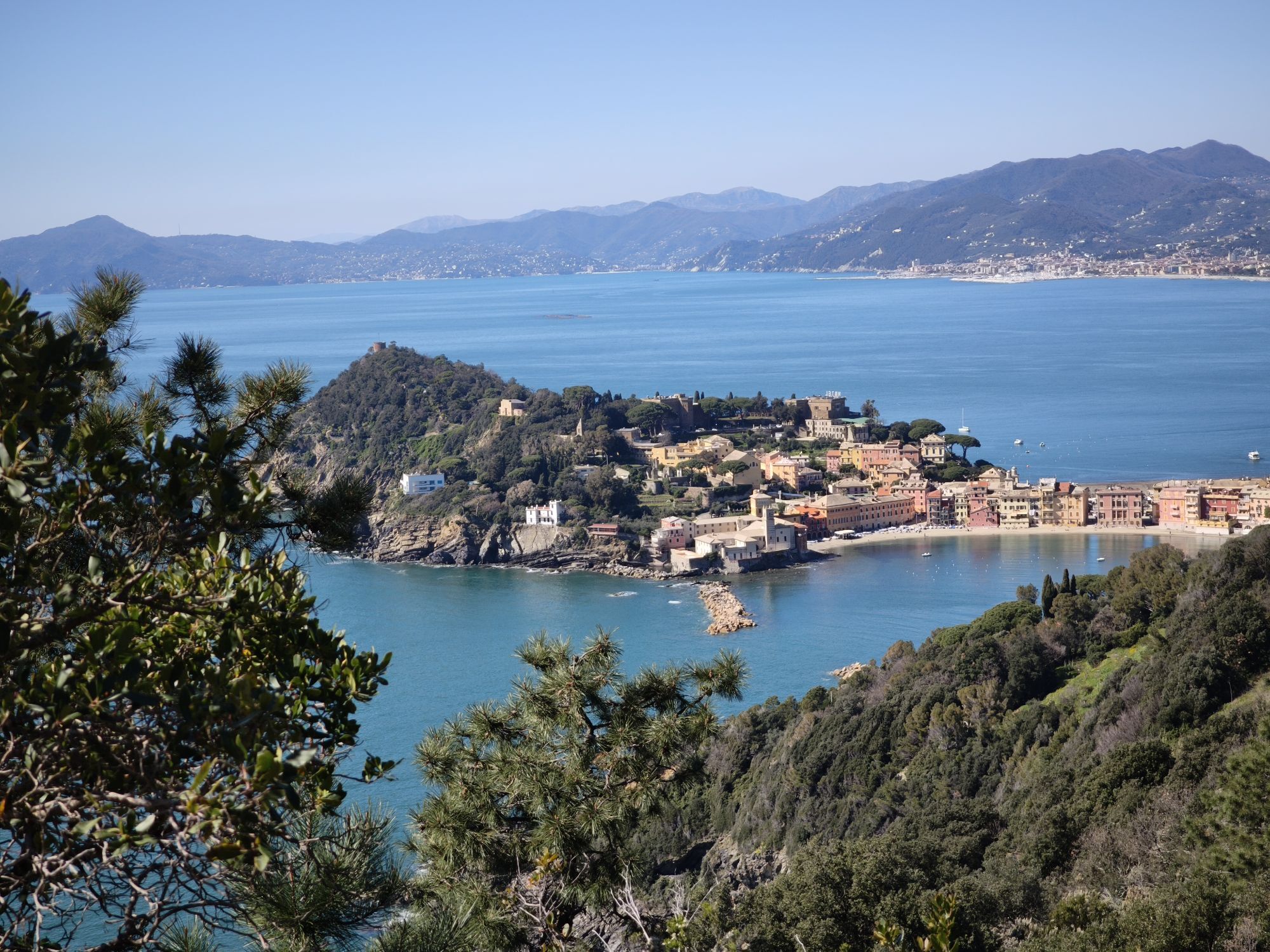
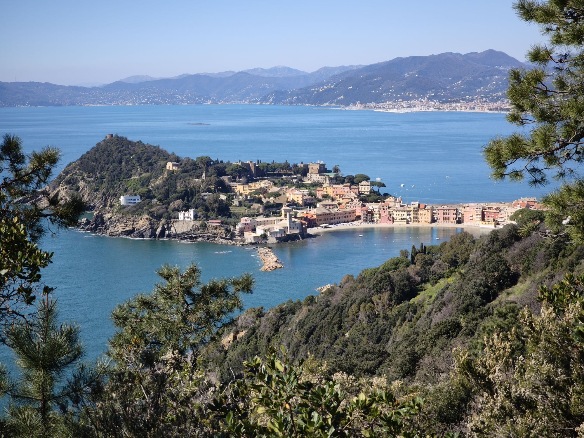
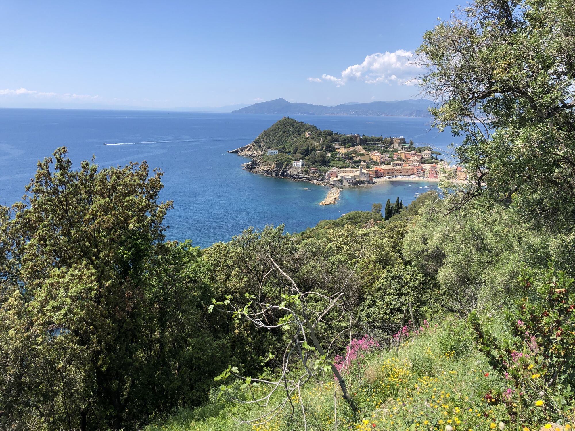
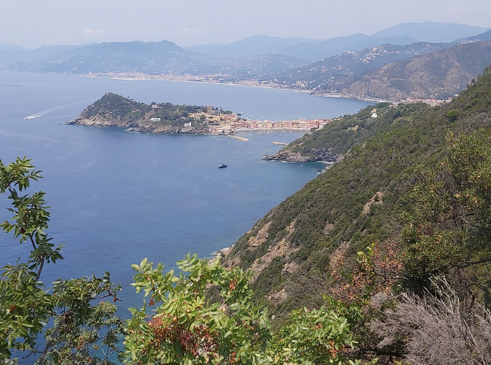
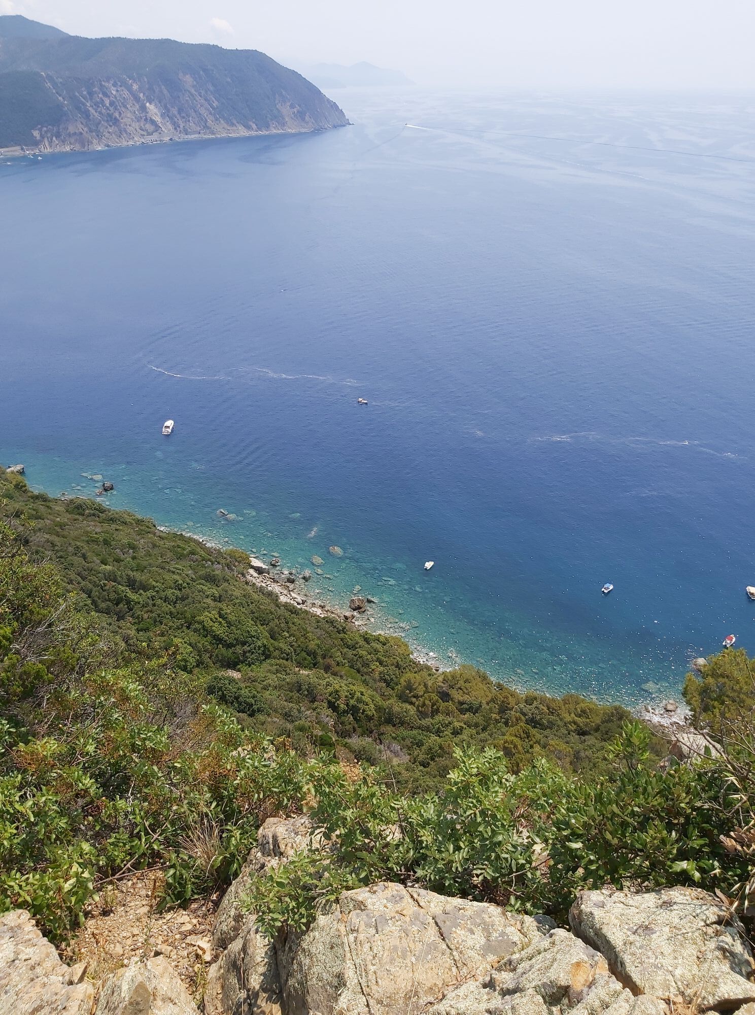
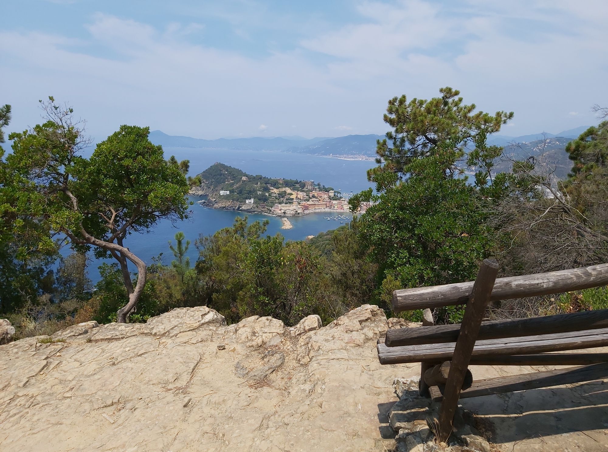
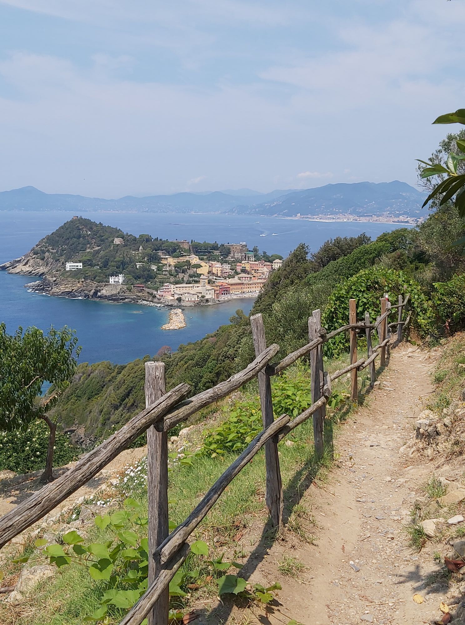
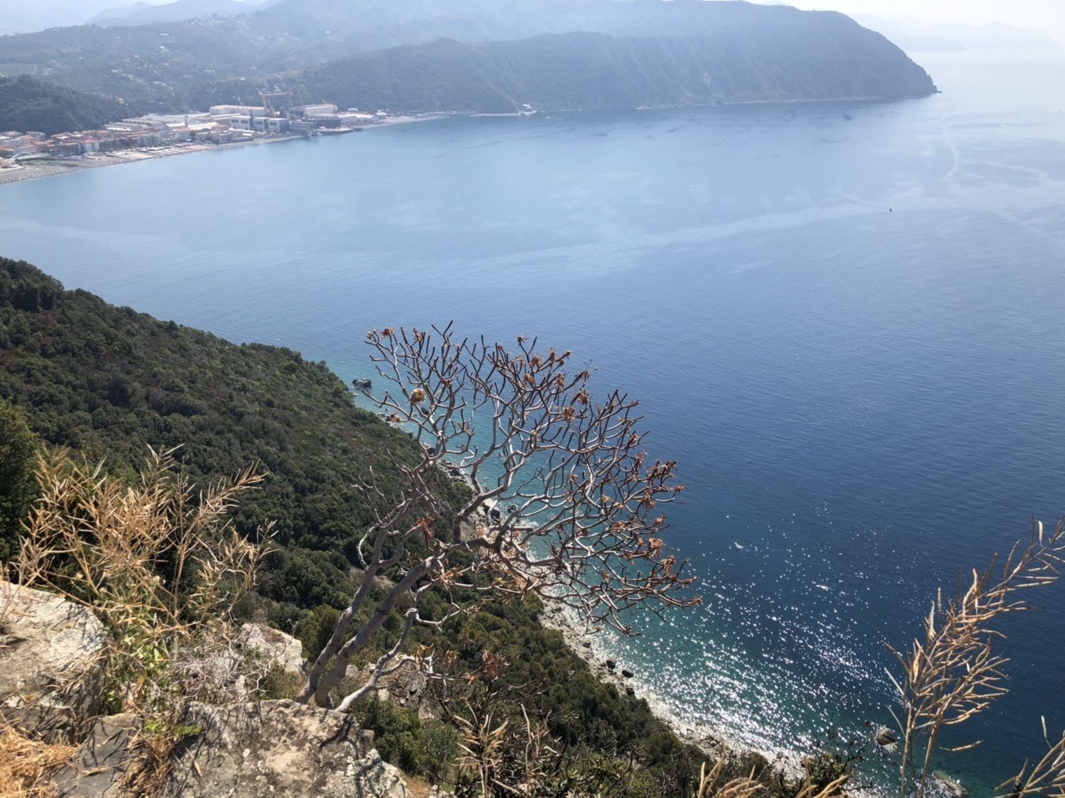
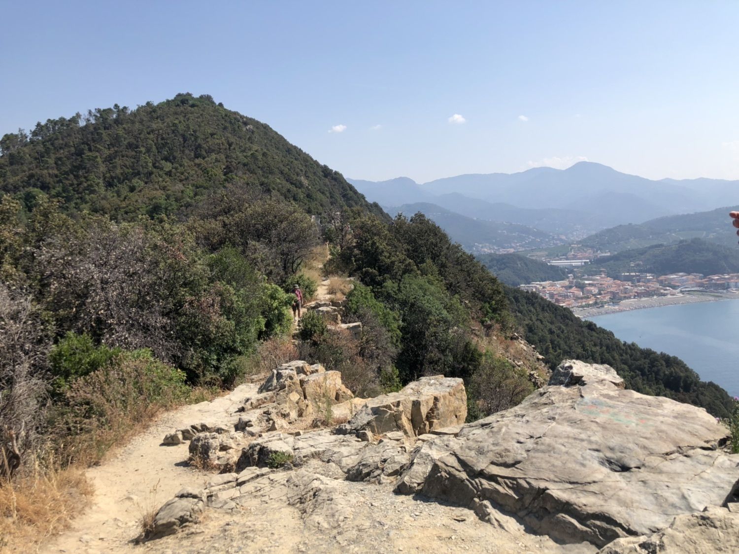
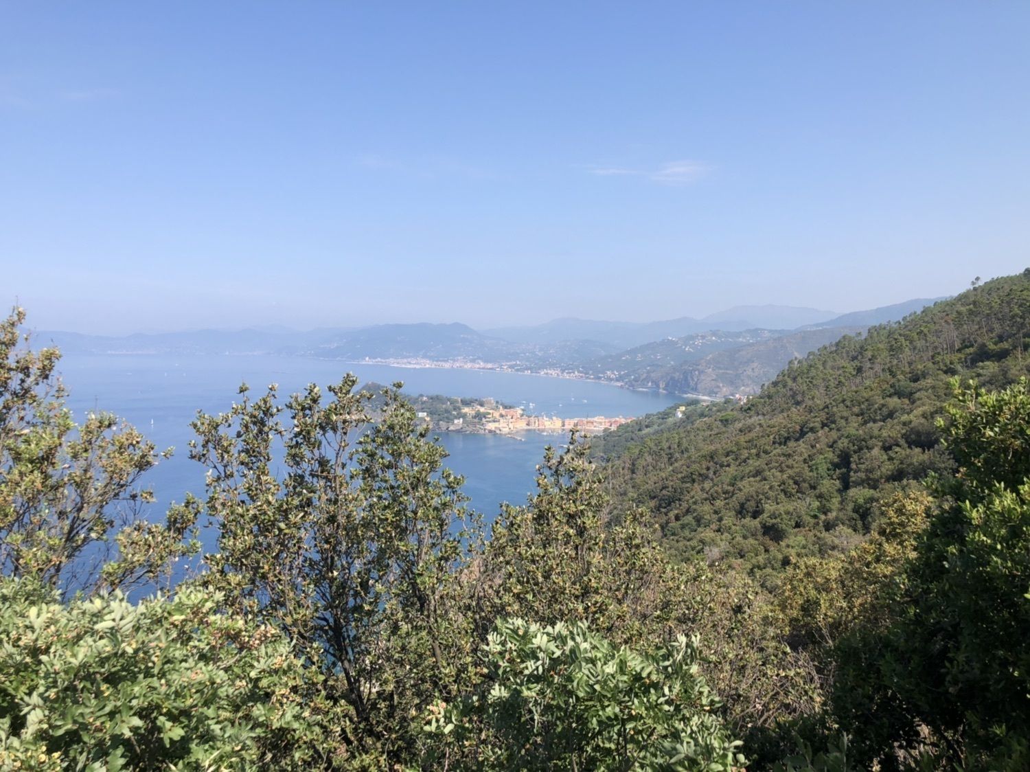
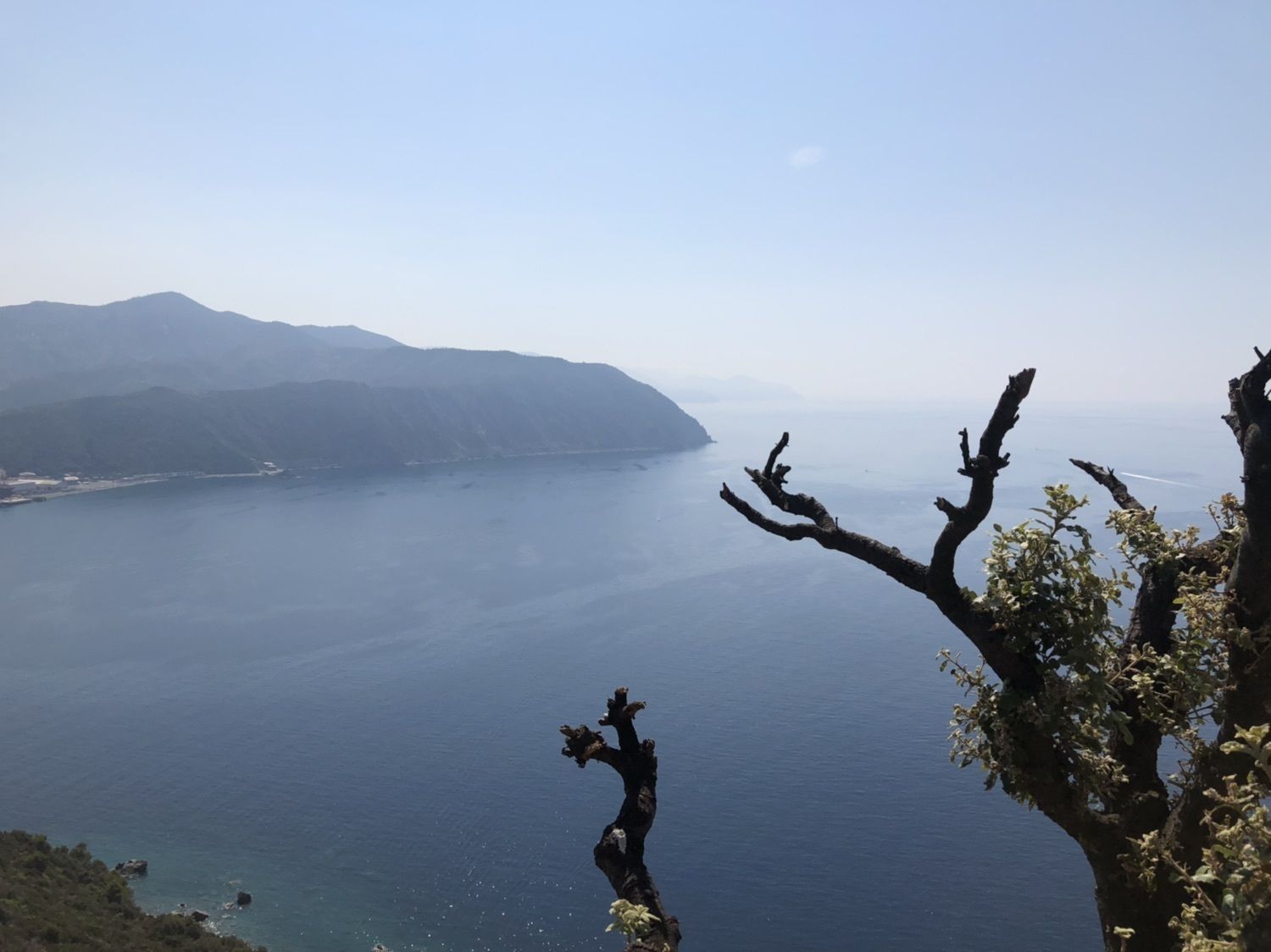
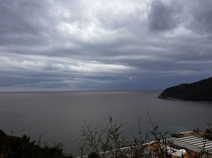
the leg, that ends in the “caruggi” (alleys) of the historic centre of Sestri Levante, develops almost entirely in two Sites of Community Importance (SCI): one shared between the municipalities of Moneglia, Sestri Levante and Casarza Ligure, the other in the area of the old Segesta. The trail runs through the Mediterranean scrubland, flanking steep into the water plunging cliffs, with gorgeous views over the sea. When the sky is particularly clear it is possible to see the islands of the Tuscan archipelago and Corsica and, westwards, the tops of the Ligurian Alps, covered with snow in winter. Halfway the itinerary the wide sandy beaches of Riva Trigoso and its famous, over a century old, shipyards can be admired.



Oblíbené prohlídky v okolí
- 4,5
GE_02 Sestri Levante – Punta Manara
Turistika 2,26 km SP_21 Ciclopedonale Levanto – Bonassola – Framura
Turistika 6,70 kmSP_12 Framura - Bonassola
Turistika 3,82 km- 5,0
GE_04 Ride to Bargone ring
Turistika 9,84 km Pian del Lago - Bagun
heavyMountainbike 20,9 kmTorre dell’Orologio (Levanto)
středníMountainbike 31,2 km- 5,0
Sestri Levante, Monte Castello, Riva Trigoso
středníTuristika 8,46 km Leg 6 from Bonassola to Moneglia
Turistika 17,0 kmGE_03 Ring path of Zatta Mount
Turistika 14,4 kmGE_01 Sanctuary of Velva - Monte Alpe di Maissana
heavyTuristika 14,4 km
Pěší turistika a stopování


Nenechte si ujít nabídky a inspiraci pro vaši příští dovolenou
Vaše e-mailová adresa byl přidán do poštovního seznamu.





