






Pian del Lago - Bagun
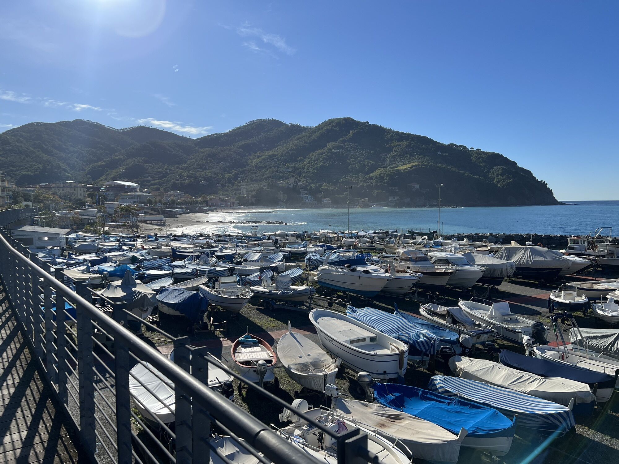
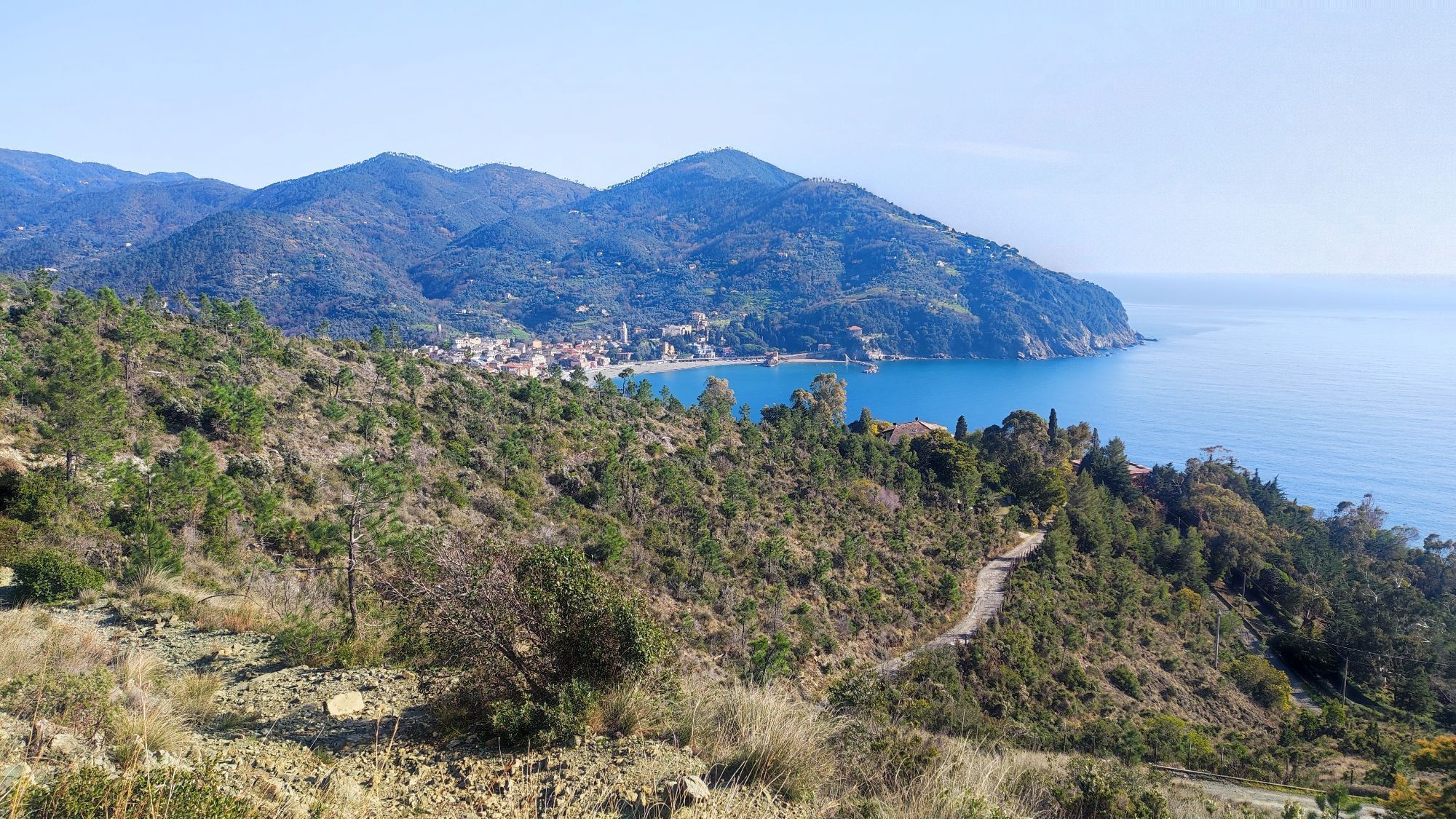
The route starts from Levanto and continues towards Bonassola, on asphalt as far as Pian Pontasco. Pick up the dirt road to the right, across the old barrier always open: you are now in the Prati Pian...
The route starts from Levanto and continues towards Bonassola, on asphalt as far as Pian Pontasco. Pick up the dirt road to the right, across the old barrier always open: you are now in the Prati Pian Pontasco area. Go up the dirt road, pass the crossroads with a wide trail that heads downhill (do not take it) and keep climbing until you reach a trail on the left. Turn into it and continue to Pian Del Lago where you will find a junction: take the trail that goes downhill to the left - it is important not to get this wrong. Ride downhill until you reach a climb to the left known as Bagun, continue along the slightly uphill slope in the middle of the pine forest. The trail becomes a fast descent and takes you to Pineta Pian Pontasco: continue to the left, climbing the gentle slope peppered with rocky step-ups, within the woods. At the end of the climb, the trail gently heads down approaching the junction with ex 28 trail. Turn right and continue until you find a bench: it marks the start of the descent. The initial section is very fast, with a series of jumps and berms and it takes you down to Hotel La Rossola. Continue to the middle section of the trail, a fast, jump-strewn descent again. Do not turn and keep going straight ahead until you reach a gully with a boardwalk. At the exit of it, there is a junction on the right: continue straight, leave the woods behind approaching the first passage on rocks, particularly slippery if wet. Reach the abandoned quarry and continue until you spot an inhabited house to the left: slow down and pick up the Tornantini trail that takes you back to the start point.



Access by car: Exit the motorway at the tollbooth of Corrodano-Levanto, then continue on the Provincial road 566 in the direction of Levanto.
Shuttle Service: available www.facebook.com/groups/2319FREERIDEL...
Levanto (Sp)
Classification: EN Difficulty: moderate/difficult Rideability +/- : 100% Water Points: 1 Local Knowledge: www.facebook.com/groups/2319FREERIDEL...
Oblíbené prohlídky v okolí
-
5.0
Levanto nach Monterosso
středníTuristika 6.83 km -
4.8
SP_07 Manarola - Volastra - Corniglia
Turistika 5.75 km -
4.2
Leg 4 from Riomaggiore to Monterosso
Turistika 15.1 km -
4.7
Monterosse - Vernazza
středníTuristika 4.68 km -
4.5
Bonassola-Levanto-Monterosso
světloTuristika 10.9 km -
4.7
Leg 7 from Moneglia to Sestri Levante
Turistika 15.2 km -
5.0
SP_21 Ciclopedonale Levanto – Bonassola – Framura
Turistika 6.70 km -
5.0
SP_13 Ring path of Levanto
Turistika 8.18 km -
SP_12 Framura - Bonassola
Turistika 3.82 km -
SP_22 High Way of the Cinque Terre
Turistika 65.0 km
Pěší turistika a stopování


Nenechte si ujít nabídky a inspiraci pro vaši příští dovolenou
Vaše e-mailová adresa byl přidán do poštovního seznamu.





