


Luutaharjun Samo 12km
The ring route travels through varied terrain to Komionvuori, where you can rest with Lopen Uupune and admire the view opening far into the distance. The beautiful narrow ridges tell the stories of the...
The ring route travels through varied terrain to Komionvuori, where you can rest with Lopen Uupune and admire the view opening far into the distance. The beautiful narrow ridges tell the stories of the Ice Age, and the signs along the route let you delve into the area's special features such as the decaying ancient forest, the sinking pond, and the rising mountain.
The route is only accessible during the snow-free period, and during winter there are ski tracks in the area.

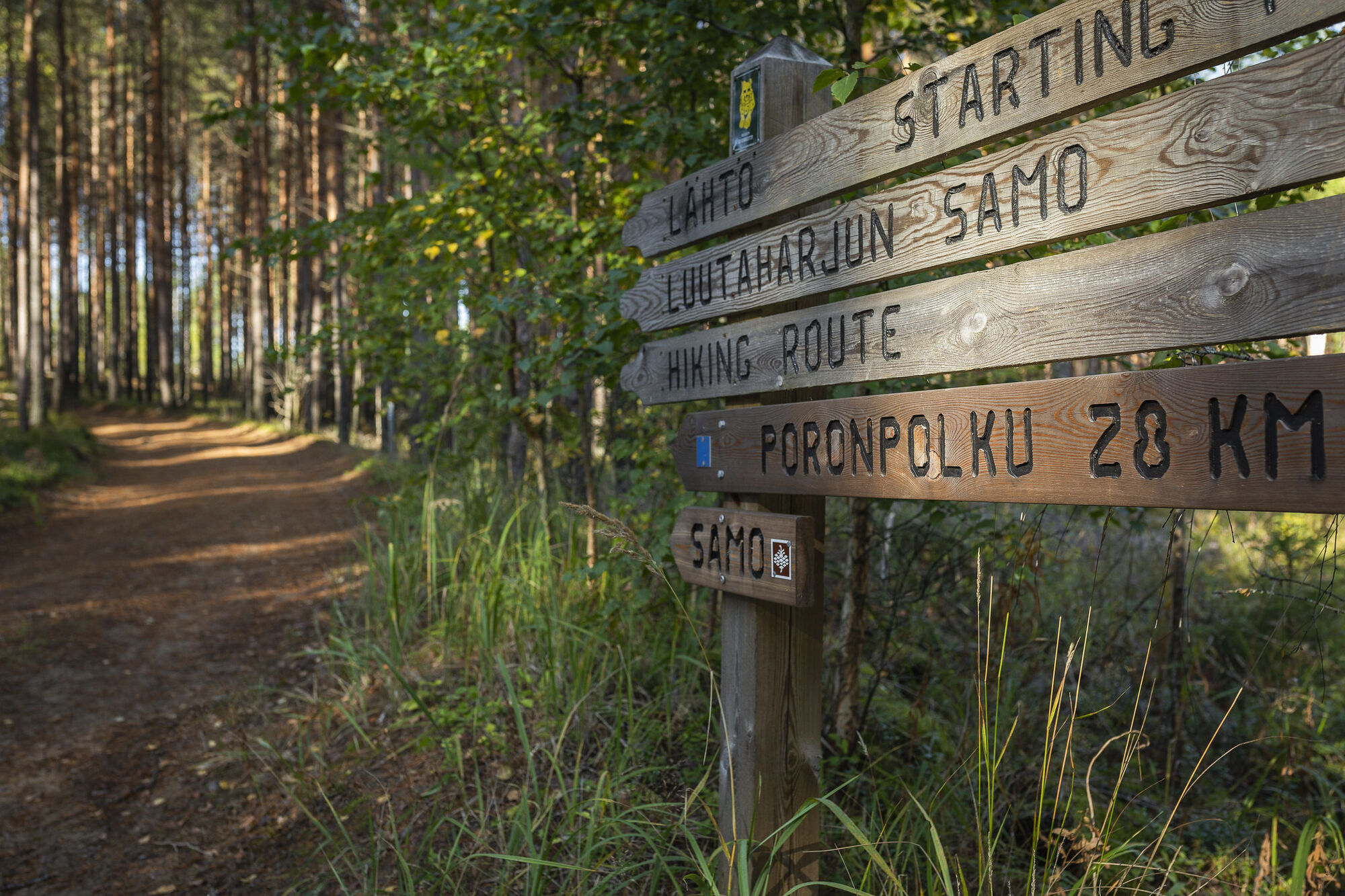
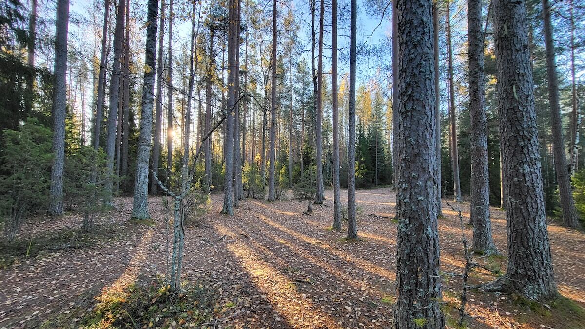
The route begins from the northwest edge of the parking area by following the signs. There is a dry toilet at the nearby accessible parking area. The route starts wide and fairly even, and goes through rolling pine forest.
On the right, a forest area that was burned in 2005 is visible. From the Y-junction, follow the sign to the right between two ridges. The forest area on the left was burned later. Soon you reach a bench from which you can observe the charred trunks and the slowly returning undergrowth. Shortly after this, the path narrows and the pines change to a shady, lichen-covered spruce grove.
The path runs at the foot of the ridge above the swamp area until it reaches Lukkolampi. There is a small bench on the shore of this atmospheric pond lined with pines. From the pond, the path climbs steeply up the ridge, passes a bench and follows the steep, winding edge of the ridge through dense pine woods, among which there are individual junipers. Soon another bench is reached, from which there is a view over the treetops.
The edge of the ridge leads to a crossing of paths, where you immediately turn left downhill. The path descends toward the shore of Sikalisko. On the slope among spruces, a few majestic old pines stand out. Before the shore, the path ascends Ryssänvuori: the ridge's peak is excitingly narrow, and Sikalisko peeks between the trees below. From here, you climb steeply to the next ridge, Komionvuori, through a hollow.
After the climb, you reach a T-junction, and the route continues right following the sign. (Turning left leads 700 m later to Komionlampi camping area, which has a campfire site, three dry toilets, a woodshed, and a compost.) The path suddenly comes out of the forest to a wide wilderness landscape. Following the ridge edge, you find an excellent resting place with several benches and a wooden sculpture.
Continue on the rolling forest path and descend the steep wooden stairs on the left. At the foot of the stairs, continue right into a depression area. From the edge of the depression, climb steeply again onto the ridge and turn right. The ridge's trees are decorated with lichen and moss. The route reaches the edge of the burned area where there is a bench. The route follows the left edge of the burned area and passes the foundations of an old forest ranger's house.
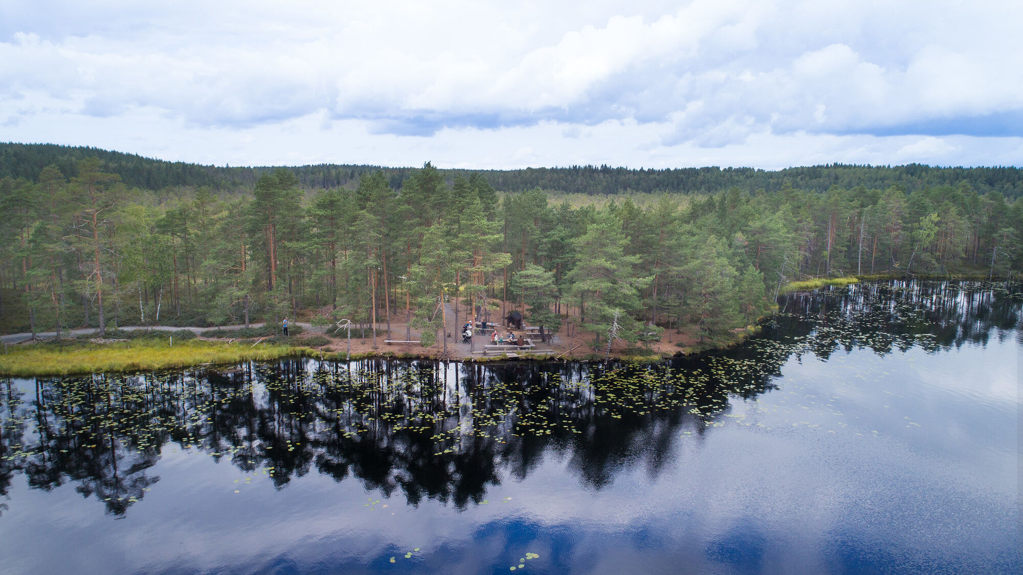
After this, you walk briefly on a road, and soon turn right onto a forest path. The path climbs the slope through pine woods, and after the climb reaches a bench at the root of an old knobby pine. From the edge of the next burned area, the path descends back to the road, and continues on the other side along boardwalks over the swamp to the shore of Luutalampi. The beautiful swamp has stunted pines, and the middle part is almost treeless fen.
On the shore of the pond, there is a cozy campfire site, and in the open landscape there are several picnic tables for a snack break. From here, continue along the accessible shore route to a wooden footbridge and along the shore toward the southeast. There are three benches on the shore section for admiring the dark, quiet pond. From the shore, turn right back to the parking area. From the Luutasuo campfire site, you must not continue past the forbidden signs in order to protect the nesting peace of the birds.
Ano
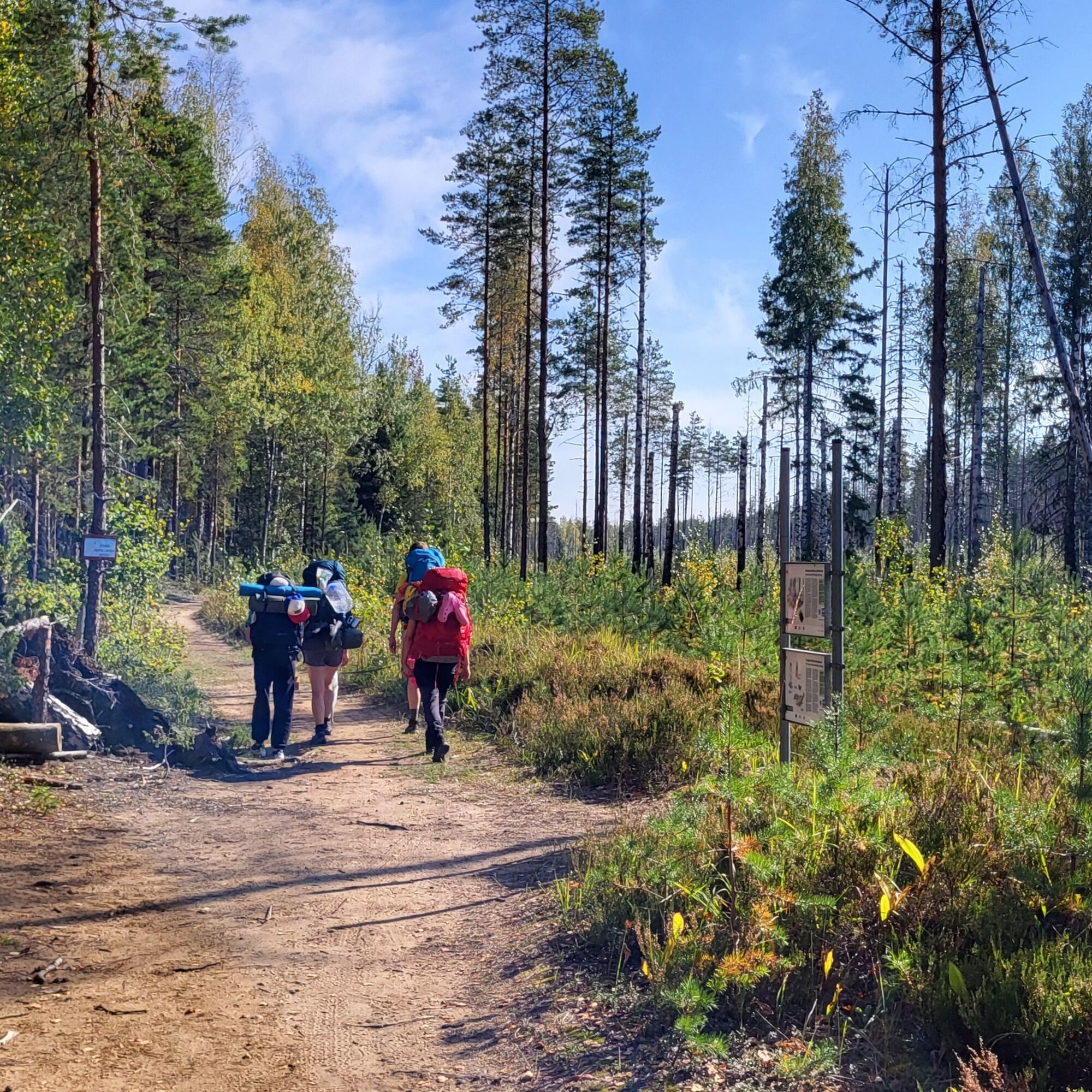
The route mainly follows an easy-to-walk path.
There are boardwalks in the swamp area that may be slippery after rain as well as in spring and autumn.
Along the route, there are steep ascents and descents. There are stairs at the steepest point.
The Komio nature reserve in Loppi is located on the Luutasuonharju ridge to the east of Räyskälä. The area has three parking areas, each of which has plenty of space for cars.
During the winter season, the barriers on the road leading to the nature reserve are closed. In spring and autumn, check the status of the barriers on the Loppi municipality website.
Pilpalantie parking area (open year-round) âï¸
Luutasuo 1, Loppi
60.662026, 24.328708
Luutasuo parking area (open during snow-free period) ð±
Luutasuo 243, Loppi
60.677080, 24.304012
NOTE! Drive past the Pilpalantie and Luutasuo intersection parking area to Luutasuo. Navigation apps may suggest roads that are closed with a barrier.
Kalamajan Kämppä parking area (open during snow-free period) ð±
Hirvenharjuntie 104, Loppi
60.700953, 24.264882
Please note that the area is also marked for the Poronpolku event. The Poronpolku kick-off and walking events are held every year on the last weekend of September.
Oblíbené prohlídky v okolí
Kivijärvi circular route 27 km (Hämeen Ilvesreitti)
heavyTuristika 28,4 kmKaartjoki paddling route
Kajak / Kánoe 10,8 kmPoronpolku mountain biking route
heavyMountainbike 42,7 kmHämeen Ilvesreitti Riihimäki Kormu-Poronpolku 45.3 km
heavyMountainbike 44,3 kmHäme Lynx route Räyskälä-Pääjärvi 31.8 km
heavyMountainbike 31,1 kmPikku-Samo 3,5 km
Turistika 3,39 kmHämeen Ilvesreitti Iso-Melkutin-Kaitajärvi 10.2 km
středníMountainbike 9,80 kmHäme Lynx route Kaitajärvi - Iso-Melkutin 6 km
Turistika 2,96 kmKivisammaljärvi circular route 2.6 km
světloTuristika 2,53 kmIso-Melkutin route, Loppi
světloTuristika 6,91 km
Pěší turistika a stopování


Nenechte si ujít nabídky a inspiraci pro vaši příští dovolenou
Vaše e-mailová adresa byl přidán do poštovního seznamu.