





Hämeen Ilvesreitti Iso-Melkutin-Kaitajärvi 10.2 km

Úroveň obtížnosti: S1
Iso-Melkutin, located in the Häme Lake Plateau, has become known as a family hiking destination and a popular diving site due to the lake's emerald green color. The route passes through ridge-like landscapes...
Iso-Melkutin, located in the Häme Lake Plateau, has become known as a family hiking destination and a popular diving site due to the lake's emerald green color. The route passes through ridge-like landscapes along the shore of Iso-Melkutin and includes a detour at Tammela's Kaitajärvi. Along the route, there are three lean-tos equipped with campfire places and dry toilets.

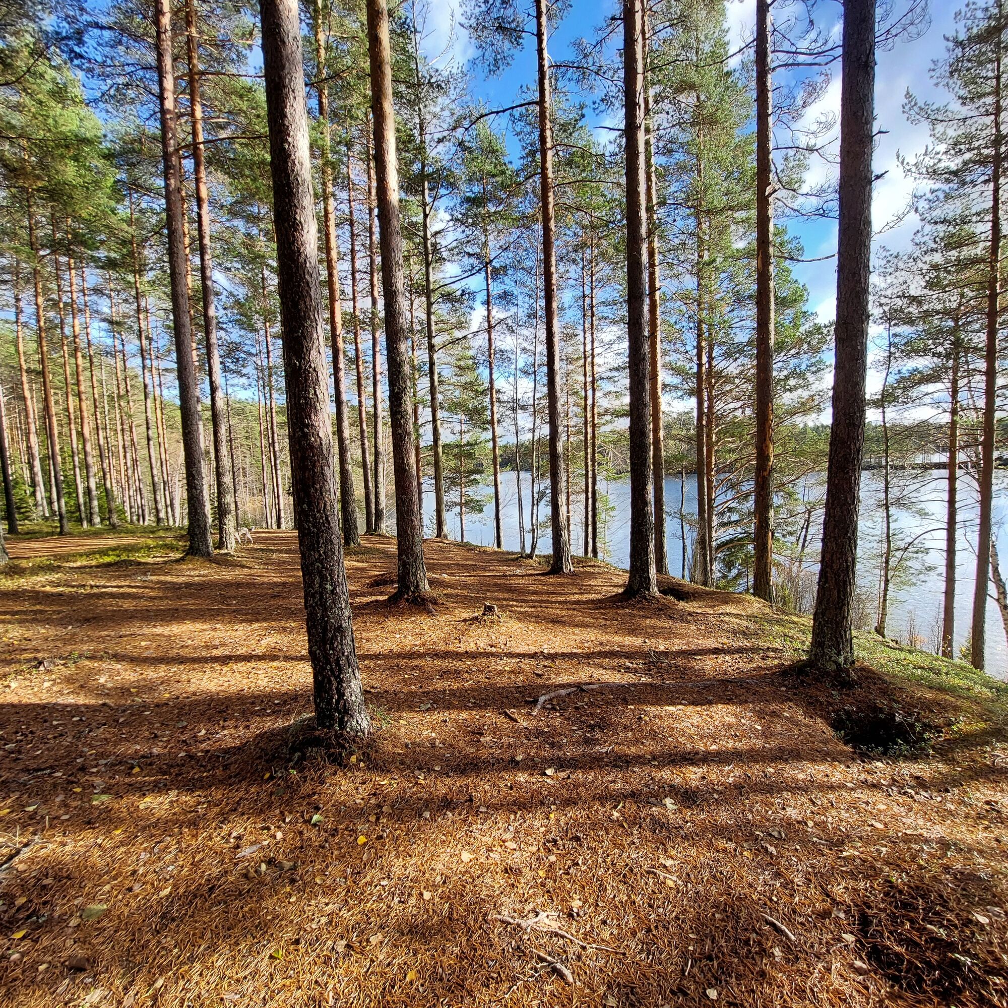
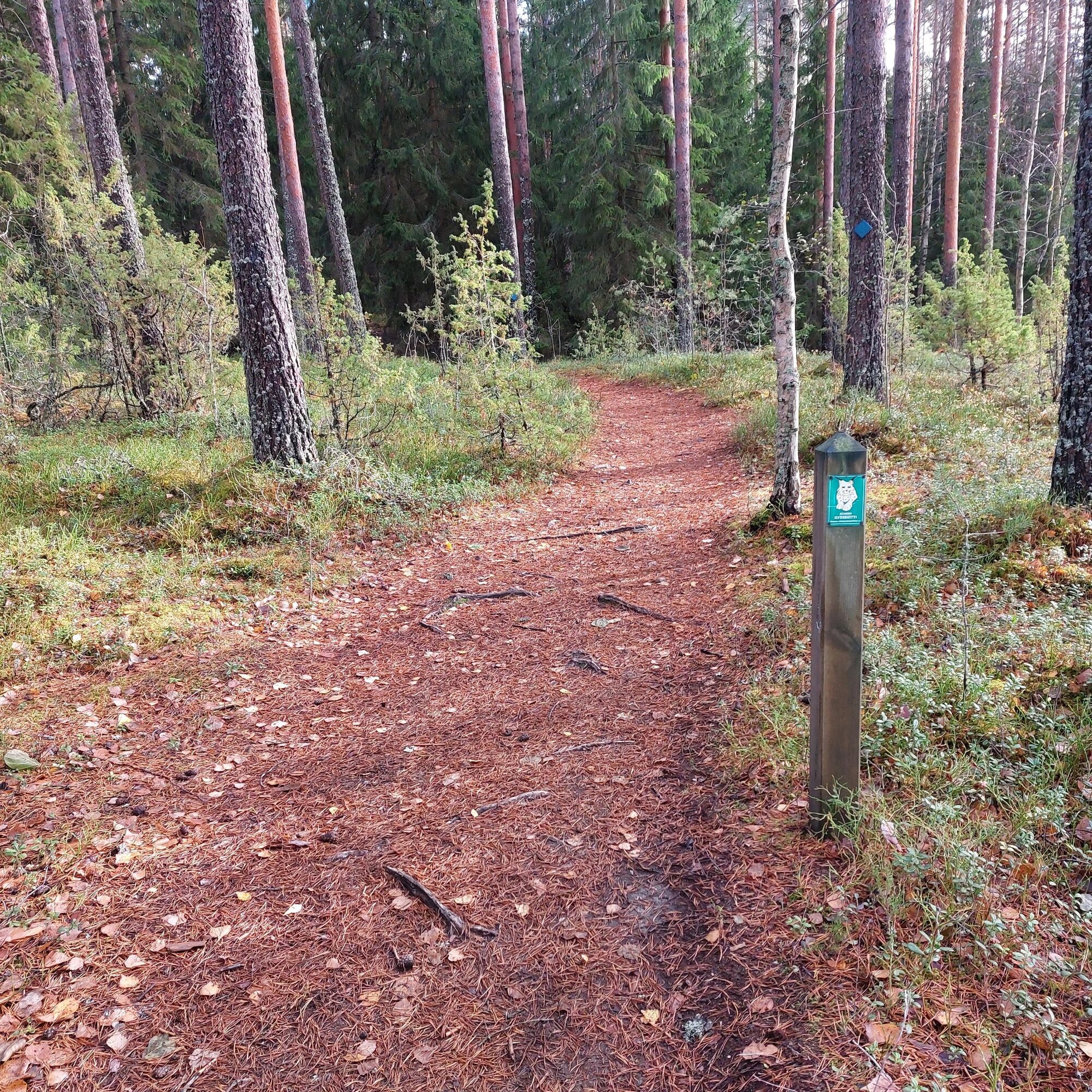
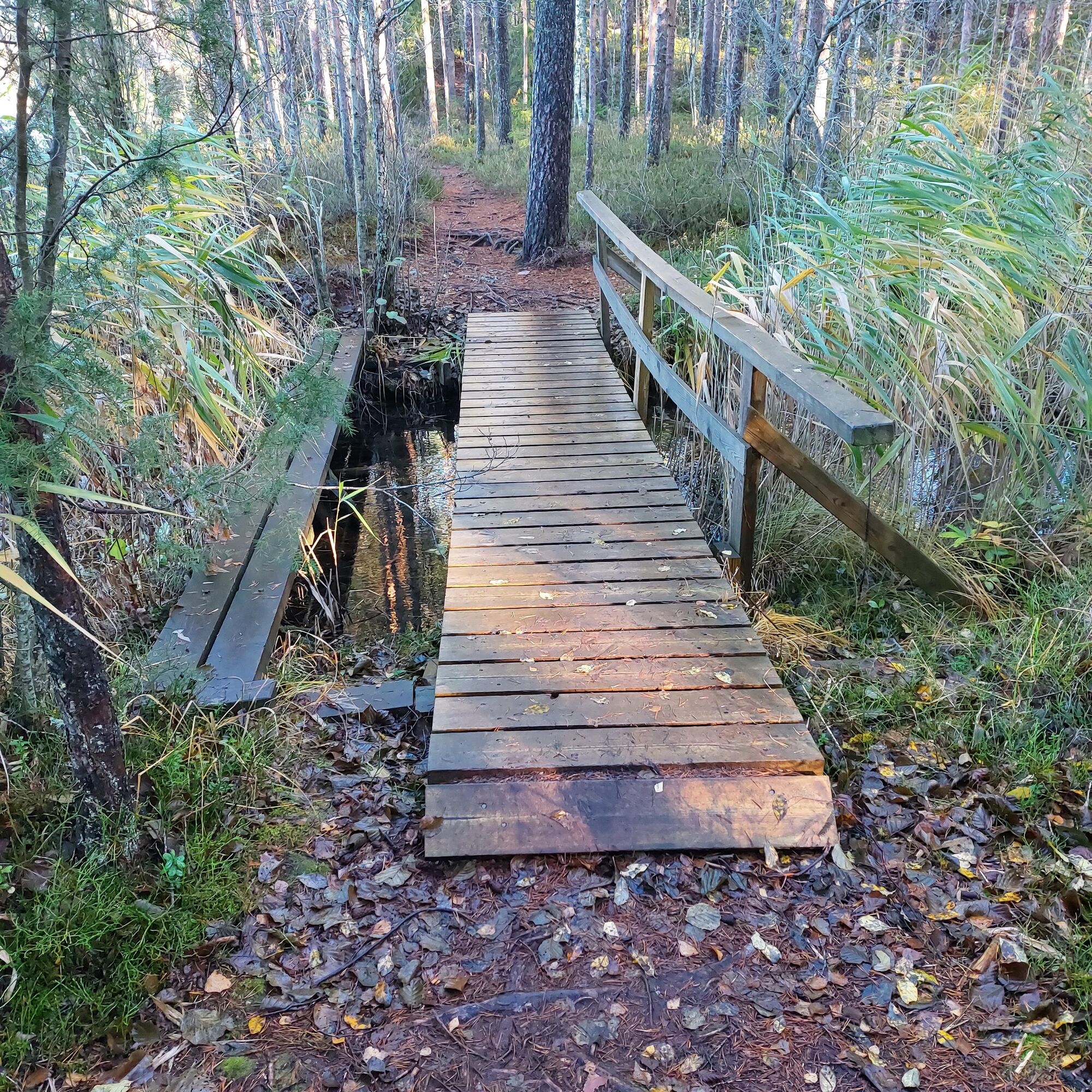

Start at the Iso-Melkutin parking area, from where you follow the yellow-marked Hämeen Ilvesreitti trail. At the beginning, at Makkaralampi, there is a slightly more challenging section where the trail is worn due to moist terrain creating roots. This can be easily bypassed for example by walking alongside the bike. Near the Iso-Melkutin lean-to, turn right following the needle trail, which is marked on the terrain with yellow trail signs as well as separate cycling signs. The trail winds close to the shore of Melkuttimen, passing the Lepakkolaavu lean-to, all the way to the western end of the lake, where the route branches right towards Kaitajärvi.
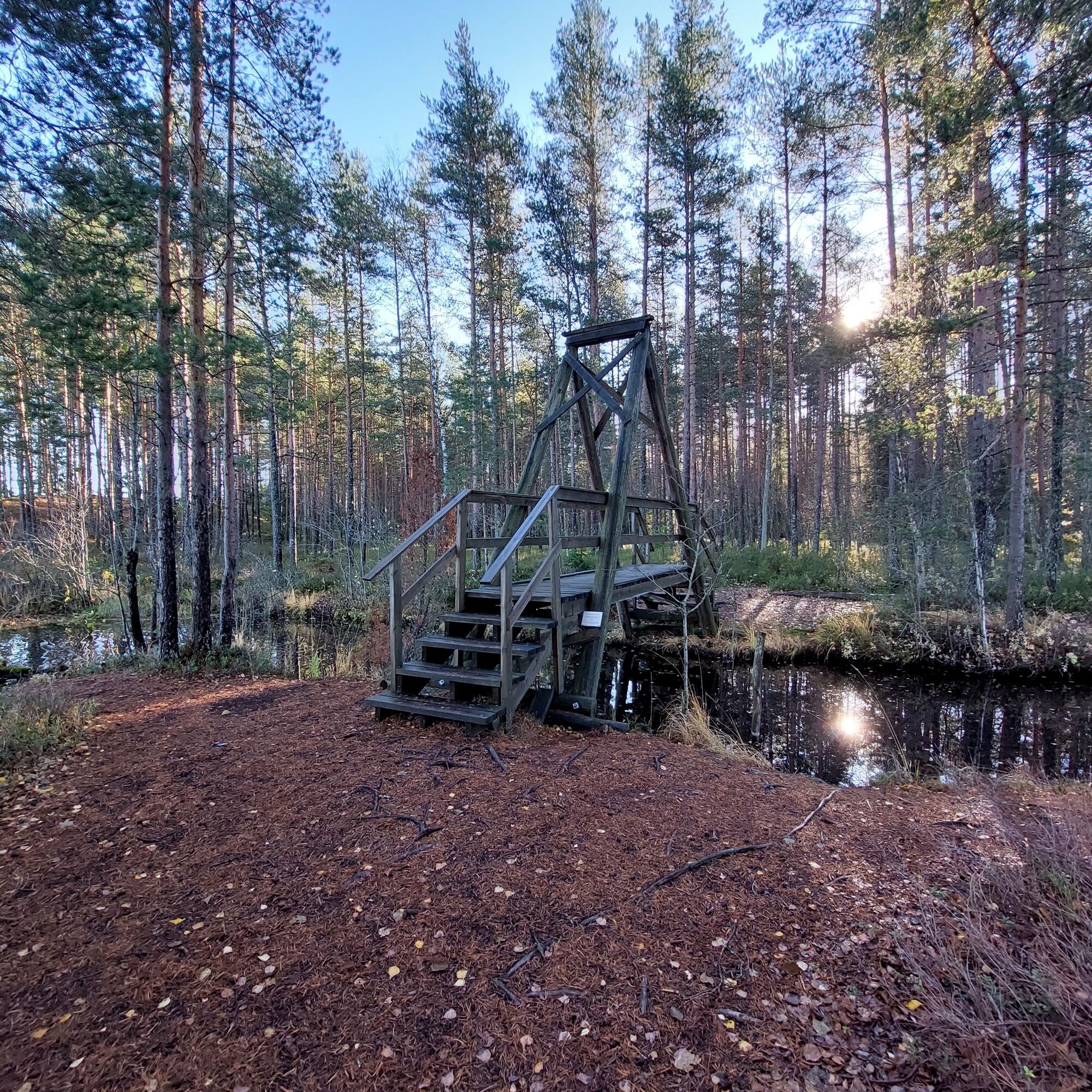
When returning from Kaitajärvi, you start circling the southern shore of Melkuttimen crossing a small bridge that connects a narrow channel between two lakes. Then follow the trail near the shore all the way to the Melkutin lean-to, from where you also turn back on the route leading to the parking area.
Ano
From the west, from the Pori - Helsinki road (no. 2), drive to Melkuttimille by turning according to the signs towards Portaan on the Hämeen Härkäti road (no. 2824). Drive about 18 km on Hämeen Härkäti and turn right onto Tauluntie (no. 13623). Continue forward 3.8 km and turn right into the Tauluntie parking area (Tauluntie 146, Loppi). The parking area serves as the starting point for the Melkuttimet routes. The Hämeen Ilvesreitti signage can be found at the parking area.
From the east and the direction of Loppi, drive from the municipal center of Loppi measuring the distance northwest on Räyskälä main road (no. 54) for 13 km and turn left onto Rautakoskentie (no. 2832). Continue about 6 km and turn right onto Räyskäläntie (no. 13623). Drive 4.5 km to the intersection of Tauluntie (no. 13623). Turn left onto Tauluntie and continue 1.4 km. Turn left into the Tauluntie parking area (Tauluntie 146, Loppi). The parking area serves as the starting point for the Melkuttimet routes. Hämeen Ilvesreitti signage is available at the parking area.
Free parking
S1
The route is marked on the terrain with blue mountain bike symbols.
The route has some steep but short ascents and descents, which should be considered when traveling with the youngest family members.
The Hämeen Ilvesreitti splits south of Melkuttimen and continues as a mountain bike trail to Kivijärvi. After Käyrälampi, a forest road is crossed, from which the Ilvesreitti section is mostly impassable due to dense trees and rocks. From here, it is good to continue on roads to the Kivijärvi lean-to.
The electric Digitrail nature trail (3 km) around Melkuttimen showcases the area's unique nature. https://visithame.fi/luonto/reitit/
Oblíbené prohlídky v okolí
-
Kivijärvi circular route 27 km (Hämeen Ilvesreitti)
heavyTuristika 28.4 km -
Saaren National Park, Hämeen Ilvesreitti 3.5 km
Turistika 3.45 km -
Kaartjoki paddling route
Kajak / Kánoe 10.8 km -
Luutaharjun Samo 12km
středníTuristika 11.9 km -
Ruostejärvi - Saari Hämeen Ilvesreitti 14.3 km
heavyTuristika 14.3 km -
Pääjärven kierto 7,5 km
středníTuristika 7.32 km -
Kynnysniemen lenkki 4,5 km
středníTuristika 4.38 km -
Hämeen Ilvesreitti Liesjärvi 19.6 km
středníMountainbike 19.4 km -
Häme Lynx route Räyskälä-Pääjärvi 31.8 km
heavyMountainbike 31.1 km -
Häme Lynx route Kaitajärvi - Iso-Melkutin 6 km
Turistika 2.96 km
Pěší turistika a stopování


Nenechte si ujít nabídky a inspiraci pro vaši příští dovolenou
Vaše e-mailová adresa byl přidán do poštovního seznamu.





