



Vanajavesi water nature trail

Úroveň obtížnosti: 2
Vanajavesi is one of Finland’s oldest inland water routes, along which there are various historical sites from the Iron Age to the last century. The approximately 35-kilometer-long water nature trail can...
Vanajavesi is one of Finland’s oldest inland water routes, along which there are various historical sites from the Iron Age to the last century. The approximately 35-kilometer-long water nature trail can be toured entirely, for example by canoe, or you can choose the most interesting sites to vary your experience, for example, with stand-up paddling. There are 18 checkpoints related to Vanajavesi’s cultural history along the route. When you arrive at a checkpoint, your phone will give a signal, allowing you to delve deeper into the site. Between checkpoints, there is plenty of time to enjoy being on the water and the impressive Vanajavesi scenery.


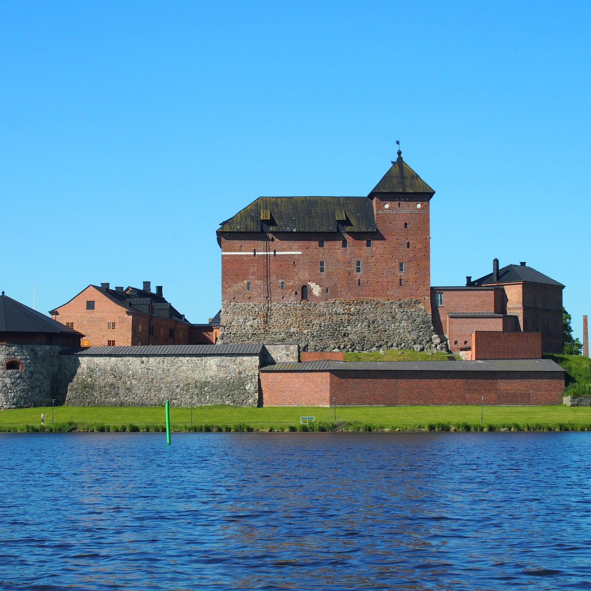


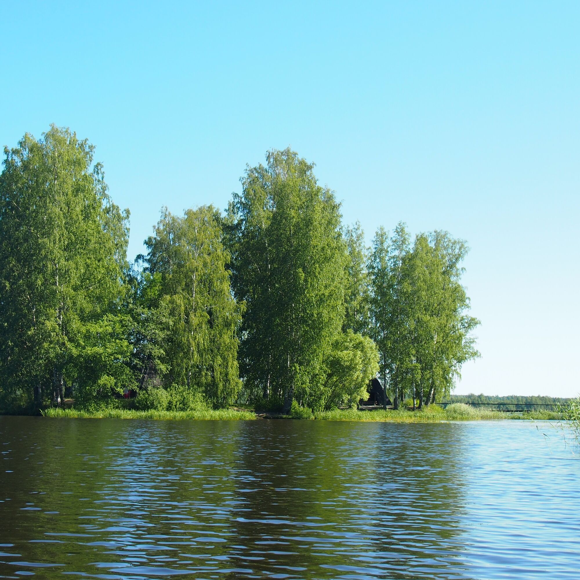


START AND FINISH POINTS:
Miemala beach, Alikyläntie 67, 13430 Hämeenlinna, 60.968499, 24.499738
Hämeenlinna swimming hall beach (Vanajavesi), Uimarintie 2, 13100 Hämeenlinna, 60.991332, 24.467366
Varikonniemi (Vanajavesi), Hämeentie 16 parking area, 13200 Hämeenlinna, 61.004358, 24.466401
Katajistonranta (Hattulanselkä), Katajistontie 1, 13220 Hämeenlinna, 61.030733, 24.442606
Mierola bridge Cafe (Vanajavesi), Ventolantie 2, 13720 Parola, 61.063530, 24.388953
Ano
Canoeing equipment can be rented, for example, at Katajistonranta, Enicare Oy, or South Beach Wake. In addition, you can get acquainted with the sport through guided canoeing trials or courses by Vanajaveden Vesikot.
The water nature trail circles a loop between Miemala and Mierola, with starting points at Miemala beach, Hämeenlinna swimming hall beach, Varikonniemi (Vanajaveden Vesikot), Katajistonranta (Aulanko Outdoors), and Mierola bridge Cafe. You can choose the section of the nature trail you want and start from where you can access the water. The route is paddleable throughout the ice-free season.
Hämeenlinna swimming hall beach: When coming from Helsinki, exit the motorway following signs to Hämeenlinna city center and turn right at the first traffic lights onto Paasikiventie. Then turn right at the second intersection to Uimarintie and the swimming hall is right in front of you.
Uimahallin rantaan on Hämeenlinnan rautatieasemalta kävellen noin 1,7 km, ja useat bussilinjat kuljettavat rautatieasemalta linja-autoasemalle, josta on noin 650 metrin kävely uimahallin rannalle. Sup-lautoja vuokraava Vanaja Wake & SUP sijaitsee Hämeensaarenpuistossa uimahallin rannan tuntumassa.
Sup-lautoja kesäaikaan vuokraava Cafe & Rent Mahlia on 5 minuutin kävelymatkan päässä rautatieasemalta.
Melontakalustoa vuokraavaan Sotkanrantaan pääsee rautatieasemalta bussilinjalla 17A. Puusepänkadun pysäkiltä on noin 800 metrin kävelymatka.
Varikonniemeen on rautatieasemalta matkaa kilometrin verran.
Mierolan Silta Caféhen pääsee rautatieasemalta bussilinjalla 5, jonka Teollisuustien pysäkiltä on noin puolen kilometrin kävelymatka perille.
Katajistonrantaan pääsee rautatieasemalta bussilinjoilla 2 ja 2 A. Katajistonrannassa melontakalustoa vuokraavat Aulanko Outdoors ja Fenix Ohjelmapalvelut Oy.
Katso joukkoliikenteen tarkemmat aikataulut Hämeenlinnan Reittioppaasta.
Miemalan uimarannalla on tilaa muutamille autoille.
Mierolan Silta Cafén pihassa on runsaasti asiakaspaikkoja, ja lisää pysäköintitilaa löytyy Pälkäneentien varrelta.
Katajistonrannassa on runsaasti pysäköintitilaa.
Hämeenlinnan rautatieasemalla on runsaasti maksullista pysäköintitilaa.
2
More information about the nature trail and downloading the DigiTrail app can be found on the Vanajavesi Center website.
You can reserve a whole day for touring the water nature trail, which is easy in difficulty. The canoeing route can be followed using the DigiTrail app.
Oblíbené prohlídky v okolí
-
Winter biking route, Hattula
středníMountainbike 13.6 km -
Lake Aulanko trail 6 km
středníTematická stezka 5.93 km -
Hämeen Ilvesreitti Hattula 37.7 km
středníMountainbike 37.7 km -
Hämeenlinna, Aulanko trail, intermediate
Turistika 5.94 km -
Aulanko mountain bike route
středníMountainbike 13.8 km -
Little Lynx route Hattula
středníTuristika 2.09 km -
Hiking and trekking route Hämeen Ilvesreitti Hattula
heavyTuristika 34.7 km -
Vanamaja outdoor route, Hattula
světloTuristika 26.8 km -
Jaakon rantapolku vaativa esteetön reitti
světloTematická stezka 0.68 km -
Lammassaaren virkistysalue
Turistika 0.61 km

Pěší turistika a stopování


Nenechte si ujít nabídky a inspiraci pro vaši příští dovolenou
Vaše e-mailová adresa byl přidán do poštovního seznamu.


