


Hämeen Ilvesreitti Hattula 37.7 km
Úroveň obtížnosti: S2
Hämeen Ilvesreitti Hattula is part of the larger Hämeen Ilvesreitti, which is over 280 km in total. The route connects the recreational and nature sites of Hattula, Hämeenlinna's Ahvenisto, Tammela national...
Hämeen Ilvesreitti Hattula is part of the larger Hämeen Ilvesreitti, which is over 280 km in total. The route connects the recreational and nature sites of Hattula, Hämeenlinna's Ahvenisto, Tammela national parks, and Riihimäki's Riuta in the Häme lake highlands.
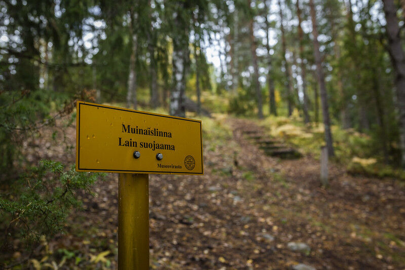
Along the route, you can explore Häme's eventful history at the Emperor Pine, visit Parola's Armoured Museum, climb the ruins of Tenhola castle hill used since the Iron Age, or discover Marttaristi's dark secret.
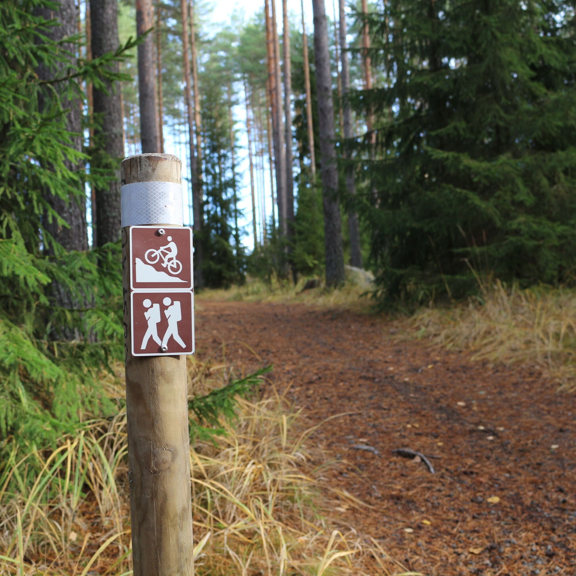
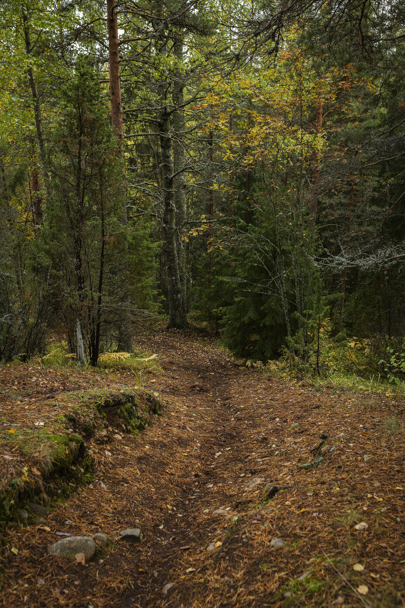
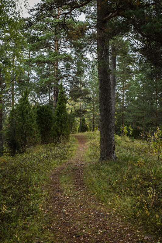
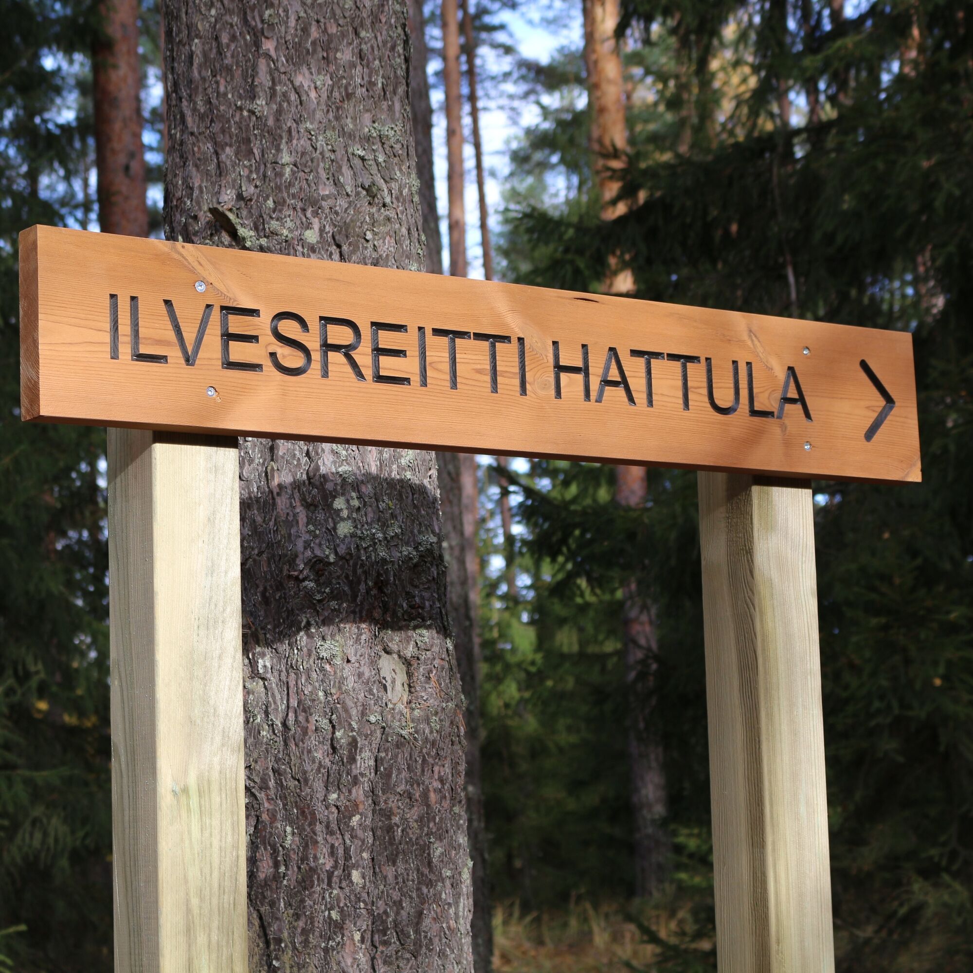
The route is relatively easy to navigate, comprising ridge paths in pine forest terrain as well as forest and asphalt roads. There are hardly any roots or rocks on the way. Follow the Ilvesreitti Hattula markers.

Start from the Pikku-Parola parking lot towards Parolannummentie and turn onto a small side road towards the forest. From the end of the road starts an outdoor route to Parolankangas, marked on the terrain with cycling signs. The varied terrain profile includes fast descents as well as steep but short climbs. Upon reaching Hattulantie, you can bypass the Lehijärventie junction and visit the nearby Armoured Museum.
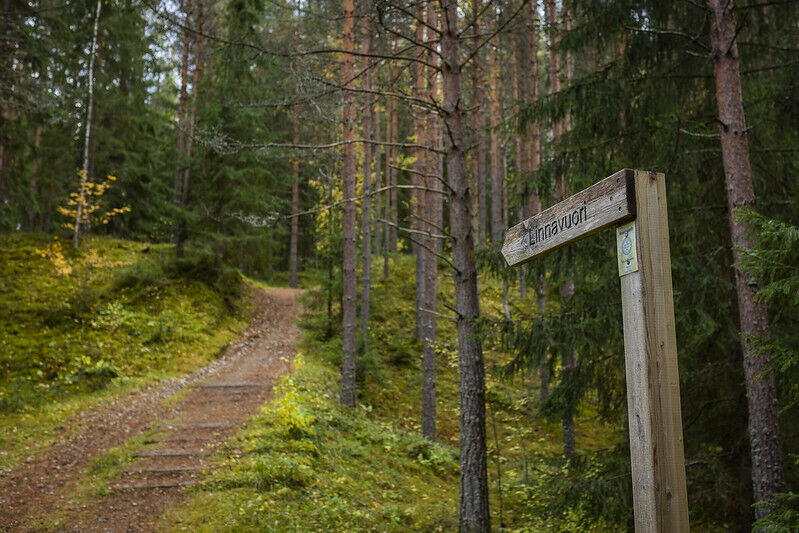
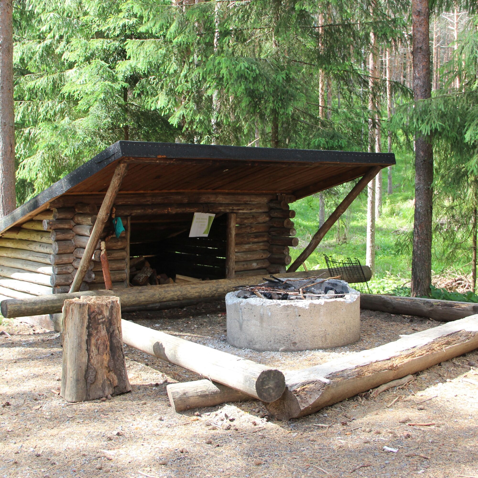
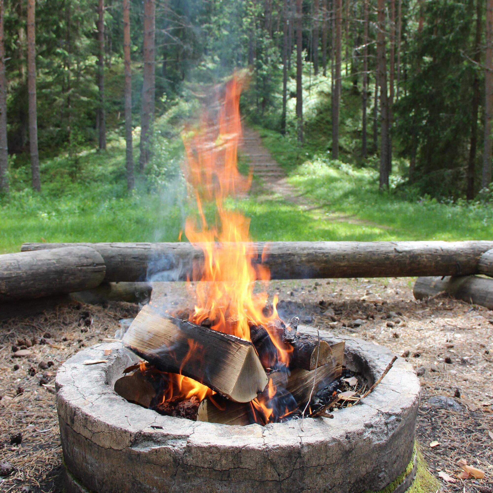
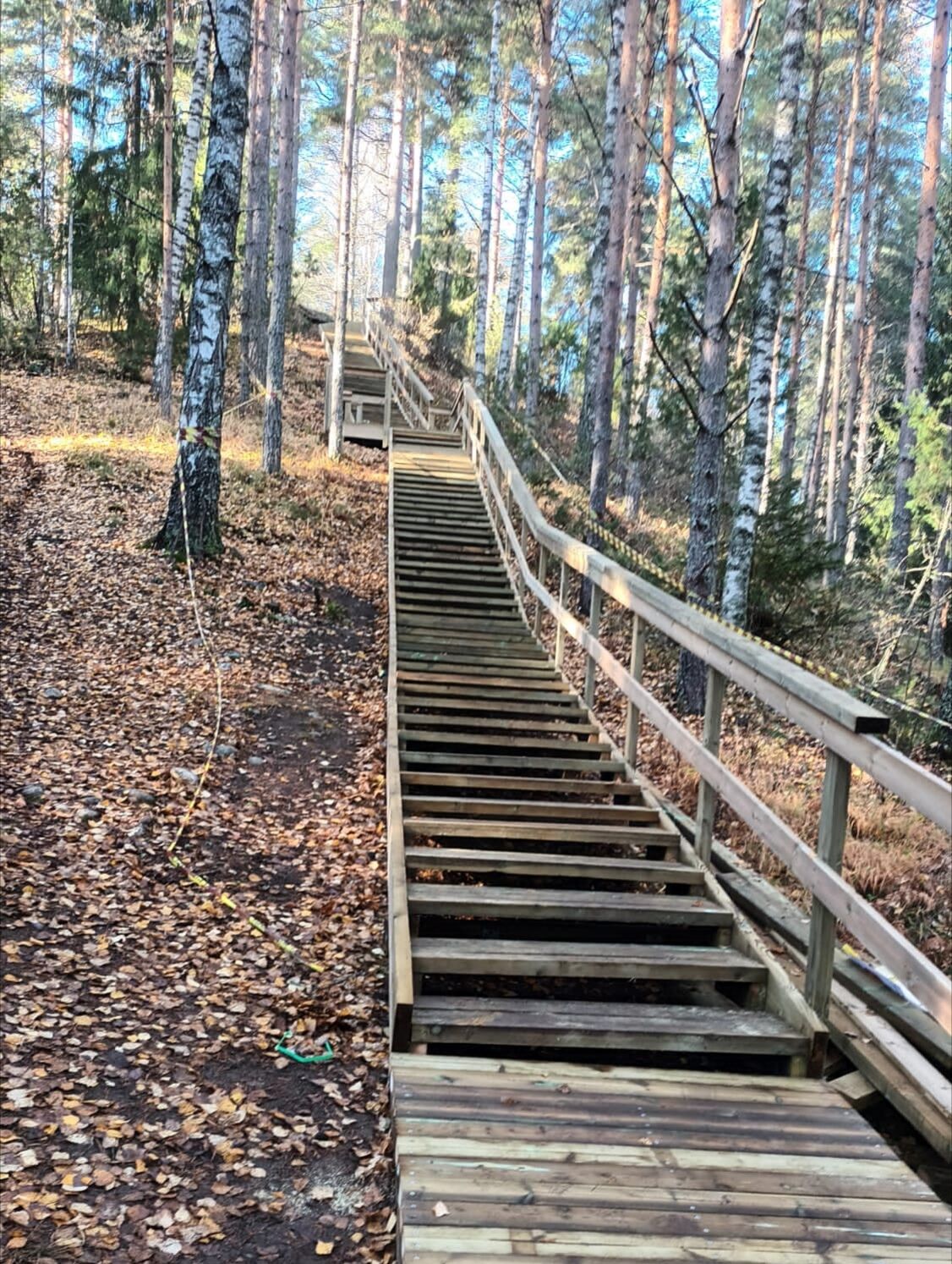
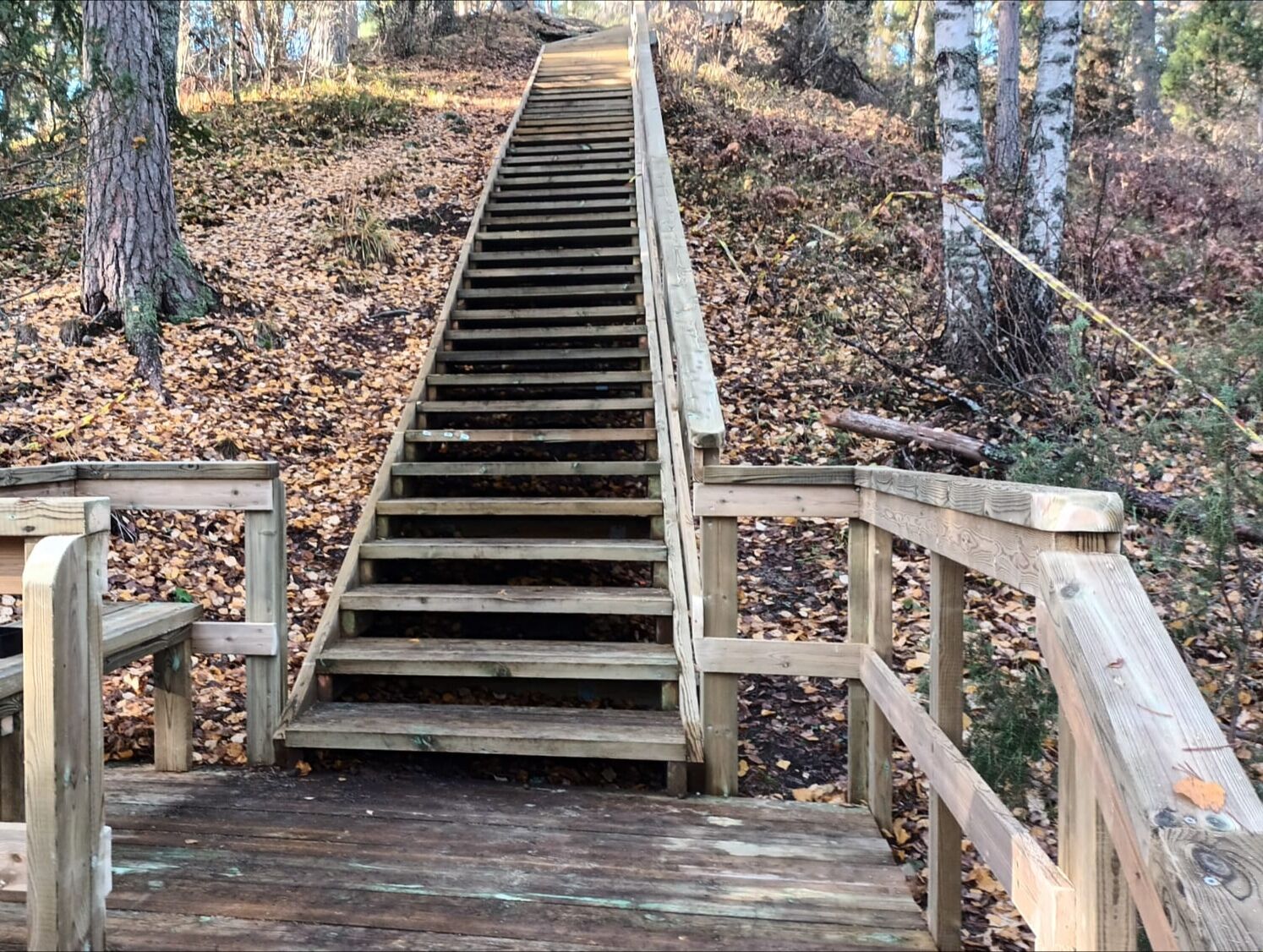
From Hattulantie, turn onto Lehijärventie, which continues as a gravel road near Lehijärvi shore up to Ihalemmentie. After the junction, ascend a bridge crossing the railway and continue to Merventie junction. Here, you can choose whether to follow the Merventie cycle paths or the ski trail on the left side, which branches off left to Tenhola outdoor route parking at Teollisuustie junction. Follow the outdoor route on the ridge terrain, which sometimes narrows into a smaller path. Near Tenhola castle hill, you can descend to the lean-to shelter or climb the stairs to the castle ruins. From the lean-to, the journey continues towards Ruskeenharju, where halfway you turn right following route signs. Descend from the ridge and turn right onto a gravel road. Ride about 1.2 km until the path turns upward to the right and back to Ruskeenharju. From here, continue the same route back all the way to the Parola parking lot.
Ano
Ano
The route is two-way; please consider safety.
The route partly passes through a military area; please stay on the path.
It is recommended to have the 112 emergency app on your phone.
Pikku-Parola parking area: Drive along motorway E12 and exit at junction 26. Continue south on Tiiriöntie and turn right onto road 130 (Wartiamäentie). Drive 1.7 km west. Turn right onto Parolannummentie. Drive 270 m and turn left towards the Hämeen Ilvesreitti signs. The parking area has no P sign but is available for hikers.
Near the Pikku-Parola starting point, you can get by bus from Hämeenlinna railway station. Check timetables from the Hämeenlinna routing guide. Enter Hämeenlinna railway station as the starting point and Parolannummentie 31 as the destination.
Parking areas along the route:
Hitsaajantie 3, Parola: https://goo.gl/maps/2CdCixPzo6uzdtDX9 parking for about 5 cars. Pikku-Parola: https://goo.gl/maps/BPVKvGujy8Zs8dij8 (Note that the Armoured Brigade parking lot is not permitted.) There is no P sign in the parking area, but it is available. Space for about 5 cars. Onnitie: https://goo.gl/maps/UiupM2hJA2SRKaSK9 parking for about 10 cars. Tenhola castle hill: https://goo.gl/maps/iy642xsUNTqp2D2t7 parking for about 10 cars.S2
Here you can find the outdoor route map of Hattula: Outdoor map
Before starting from the Pikkuparola parking lot (note that the Armoured Brigade parking lot is not permitted, check the parking location under "Arrival"), there is a good opportunity to visit the nearby Emperor Pine with its eventful history. Upon reaching Hattulantie, it is possible to take a small detour and visit the nearby Armoured Museum.
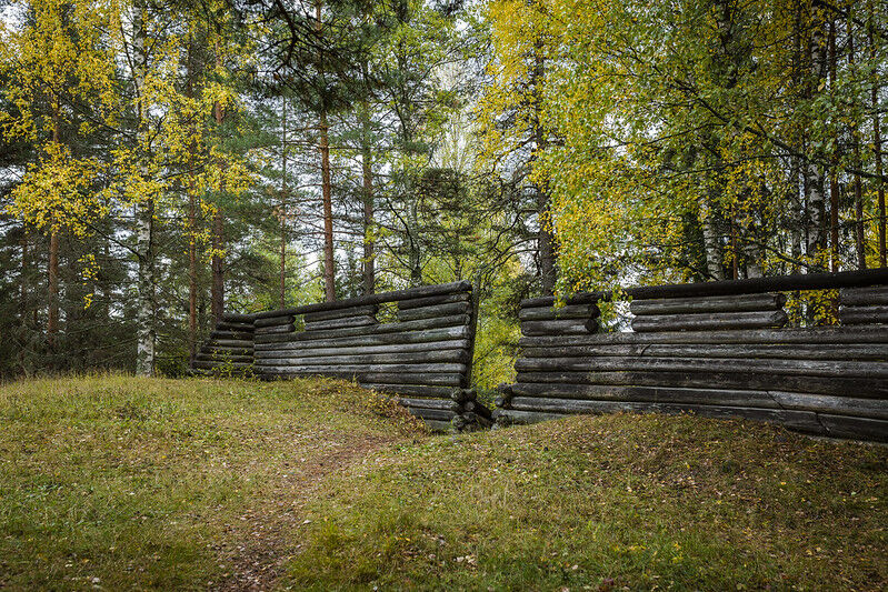
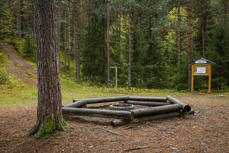
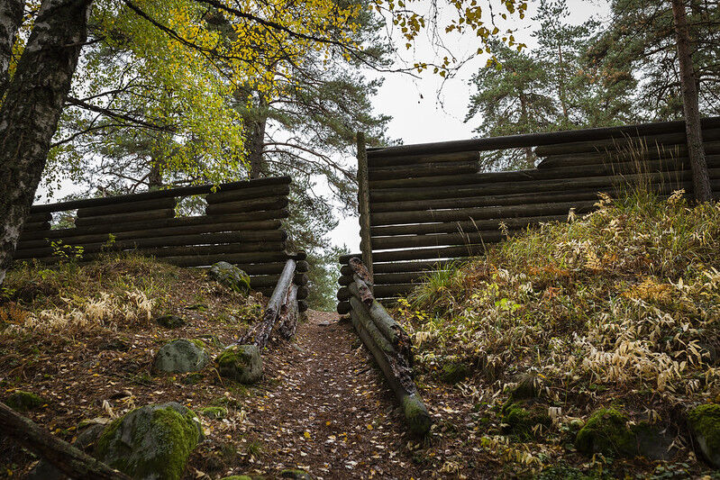
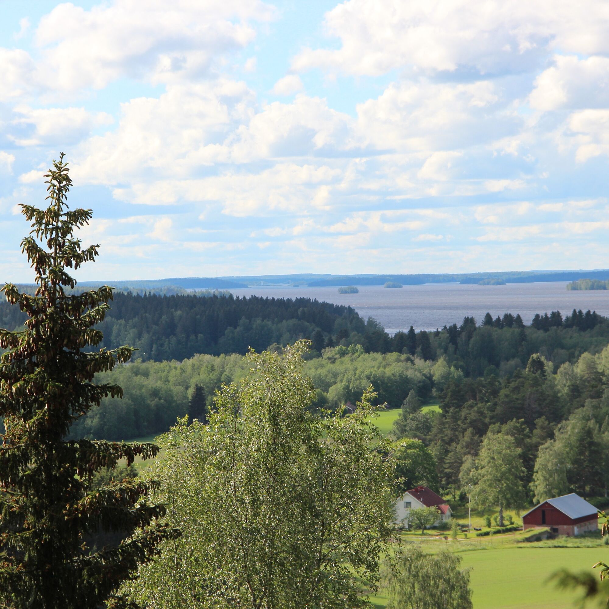
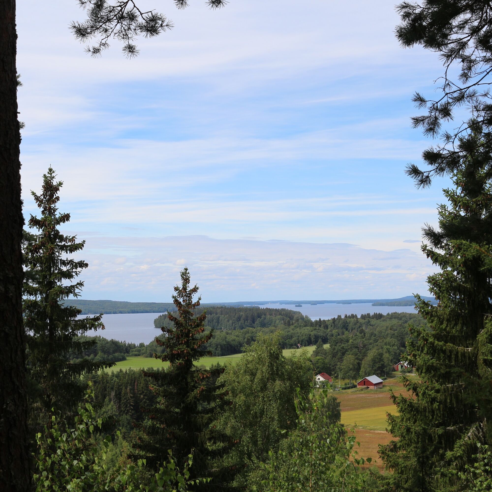
The Tenhola castle hill with its beautiful lake views is a place worth seeing. Nearby, there is also a lean-to shelter and a fireplace.
The route is marked on the terrain with brown cycling signs.
When returning from Ruskeenharju, you can start following the outdoor route, which runs on an easy ski track base up to the Merventie junction.
Oblíbené prohlídky v okolí
-
Winter biking route, Hattula
středníMountainbike 13.6 km -
Lake Aulanko trail 6 km
středníTematická stezka 5.93 km -
Hämeenlinna, Aulanko trail, intermediate
Turistika 5.94 km -
Little Lynx route Hattula
středníTuristika 2.09 km -
Hiking and trekking route Hämeen Ilvesreitti Hattula
heavyTuristika 34.7 km -
Aulanko mountain bike route
středníMountainbike 13.8 km -
Vanamaja outdoor route, Hattula
světloTuristika 26.8 km -
Jaakon rantapolku vaativa esteetön reitti
světloTematická stezka 0.68 km -
Vanajavesi water nature trail
Kajak / Kánoe 34.5 km -
Lammassaaren virkistysalue
Turistika 0.61 km

Pěší turistika a stopování


Nenechte si ujít nabídky a inspiraci pro vaši příští dovolenou
Vaše e-mailová adresa byl přidán do poštovního seznamu.