


Lake Aichwaldsee circular route
Úroveň obtížnosti: T1
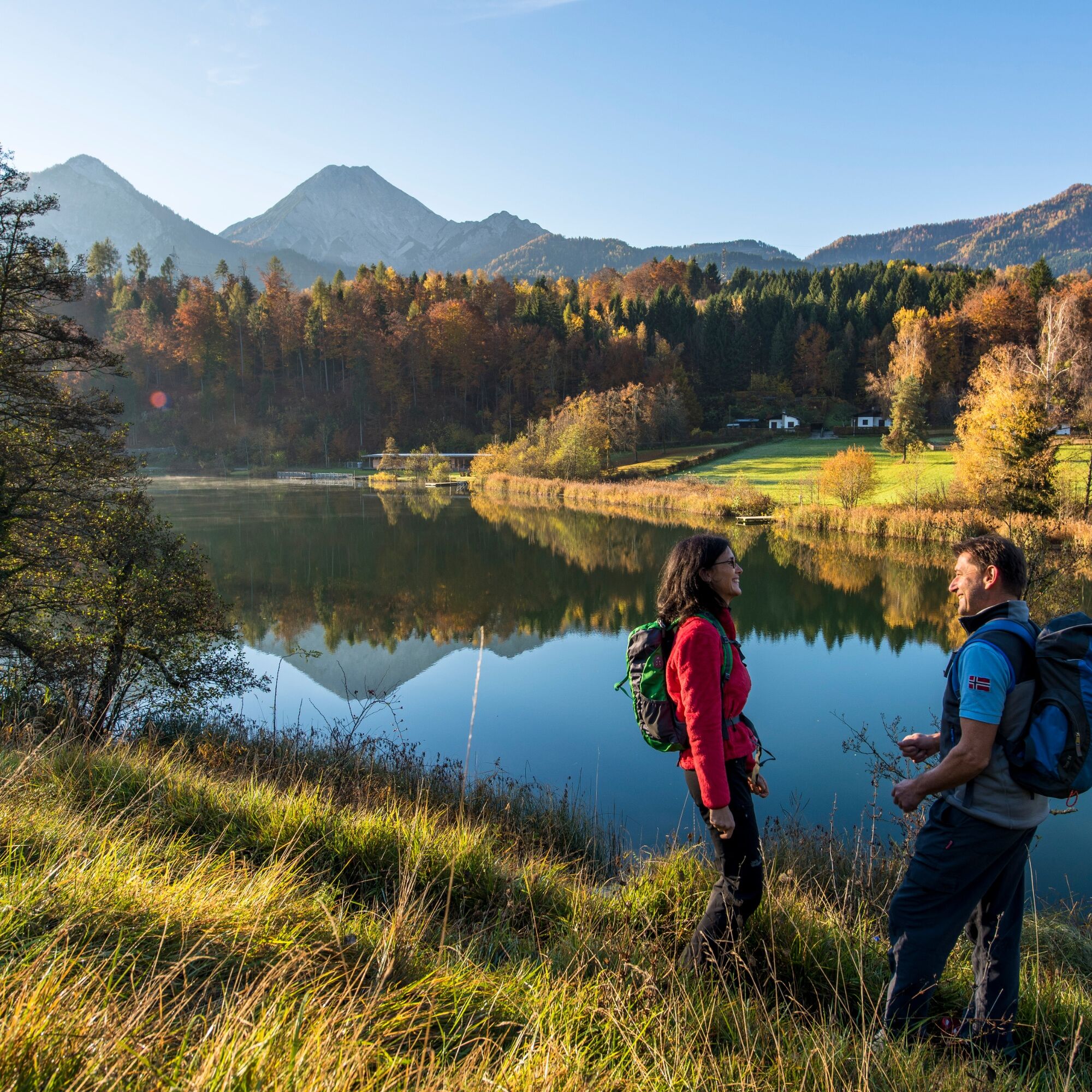
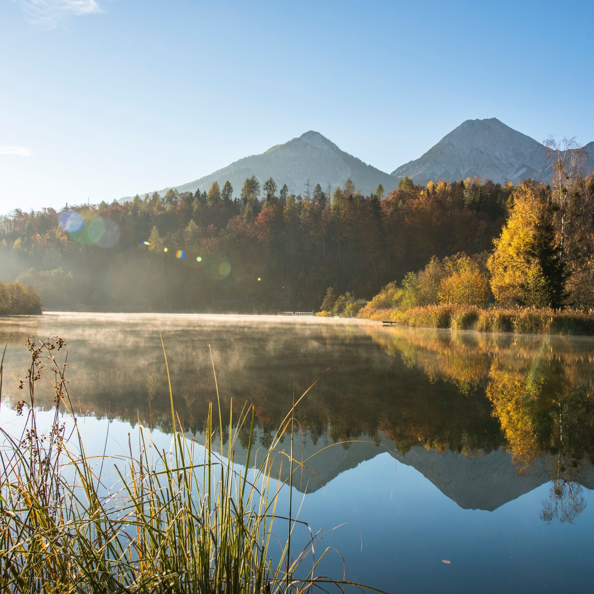
The Lake Aichwaldsee circular route initially leads through the landscape protection area to Lake Aichwaldsee, along the newly designed Fox Trail to Oberaichwald, and returns to Lake Faaker See via the shortest descent.
The route continues through the forest along a section of the NaturAktivPark Lake Faaker See to a former sawmill (N 46 5599152/E 13 9564133) near Ledenitzen/Unteraichwald. From here, follow the signposted and asphalted village roads heading south and reach the hotel Mittagskogel at the intersection of Lake Aichwaldsee Street and Egger Street.
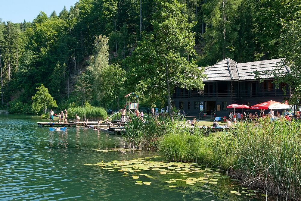
Cross Aichwaldsee Street and follow the path that leads back into the forest to the right of the hotel. The slightly ascending path leads to a small bridge over the Worounitza stream and then within a few minutes' walk to the natural swimming area of the Aichwaldsee Cultural Garden.
This is a good spot for a short break to take a dip in the cool water and have a drink at the cafe on the lake - Seerose. Afterwards, continue walking along the Lake Aichwald path heading west and turn right into a small ditch on the west shore of Lake Aichwaldsee. After a few minutes, cross Aichwaldsee Street again and hike along Aichweg following the new Fox Trail to Oberaichwald.
At the Naturel Hoteldorf Schönleiten, you can enjoy another culinary stop before descending to Lake Faaker See via the shortest route called the Stairway Path. You reach the entrance to this path by walking west from the holiday village along the village street and turning right into a small inconspicuous path between houses about 70 meters before the intersection of Aussichtsweg and Dorfstraße.
Ano
Outdoor shoes with a good tread sole, food and drink, rain protection, etc.
Lake Faak is accessible via the Villach-Faaker See (A2) exit and via St. Niklas (A11).
Faak am Strand is reachable by public transport at regular intervals:
There are enough parking spaces opposite the Arneitz and Anderwald campsites. It takes about 15 minutes to the starting point of the hike.
T1
+43 4242 42000

Oblíbené prohlídky v okolí
-
4.7
4 Huts route
středníTuristika 8.96 km -
4.4
Finsterbach Waterfalls - Circular route
středníTuristika 3.87 km -
4.5
Lake circular trail
světloNordic Walking 9.85 km -
4.4
Mittagskogel - Rundwanderung
heavyTuristika 14.5 km -
4.6
Rotschitza Klamm Klettersteig B/C
středníVia ferrata 3.73 km -
4.6
Baumgtn. Höhe, Mallestiger Mittags- und Schwarzkogel
heavyZimní turistika 10.7 km -
3.9
Lake Ossiacher See cycle path – R2 & R2A
středníJízda na kole 28.2 km -
4.4
Mallestiger Mittagskogel
středníTuristika 8.17 km -
4.9
Gratschenitzen Kreuz
heavyVysokohorská turistika 3 km -
3.8
Forstsee Route
světloTuristika 4.26 km
Pěší turistika a stopování


Nenechte si ujít nabídky a inspiraci pro vaši příští dovolenou
Vaše e-mailová adresa byl přidán do poštovního seznamu.