







From the Bergfriedhütte to the Stoder
Úroveň obtížnosti: T3
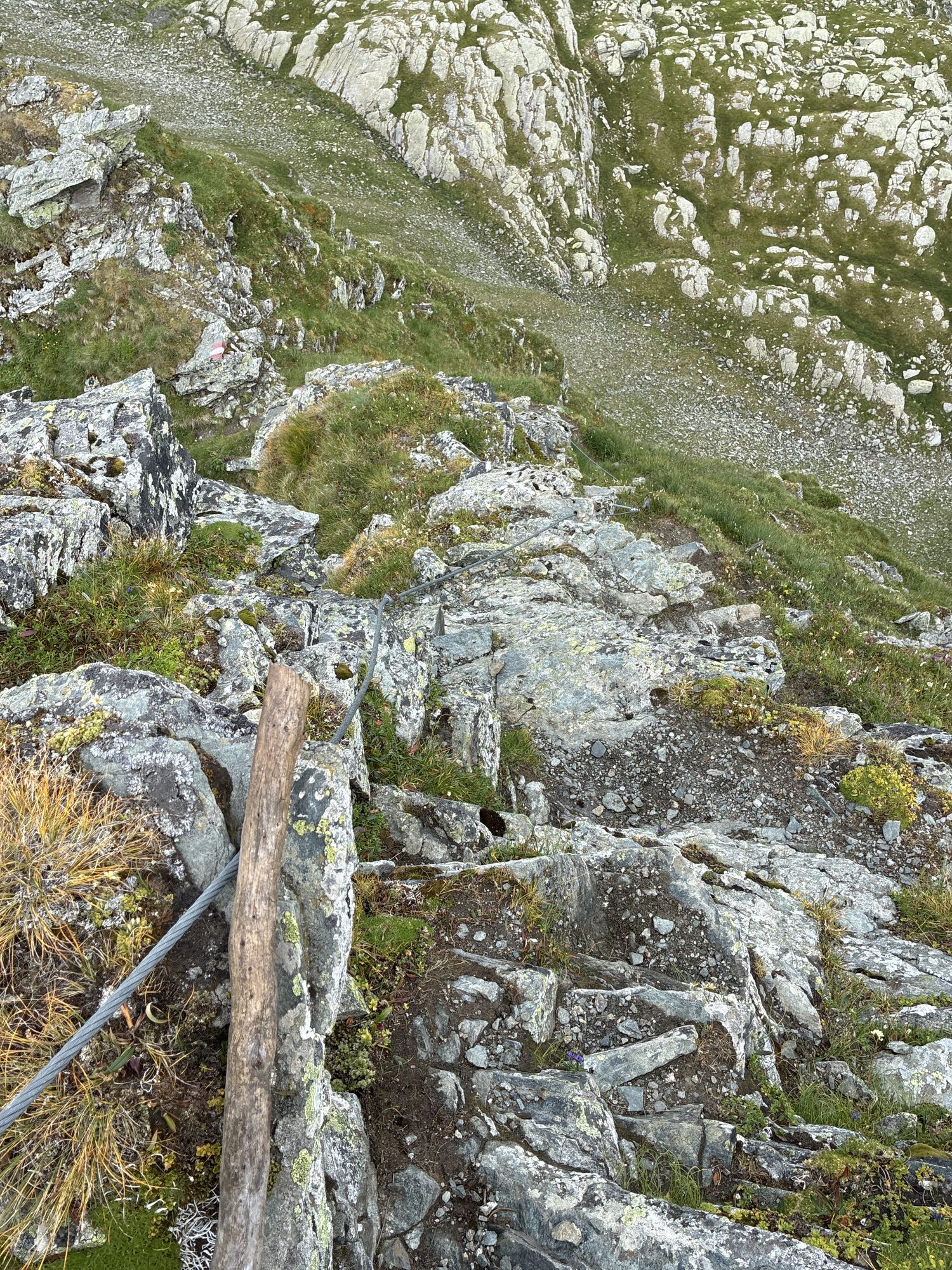
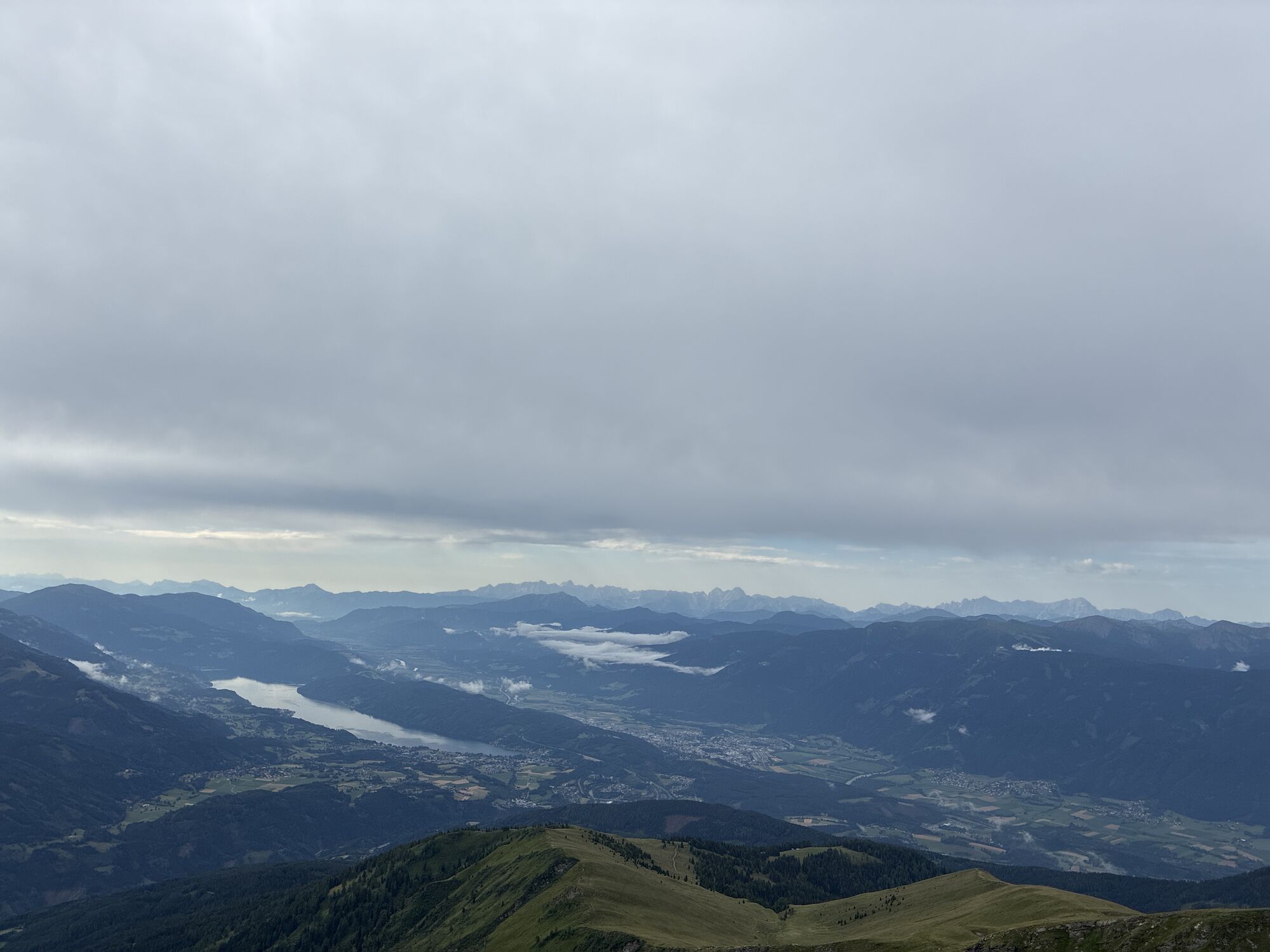
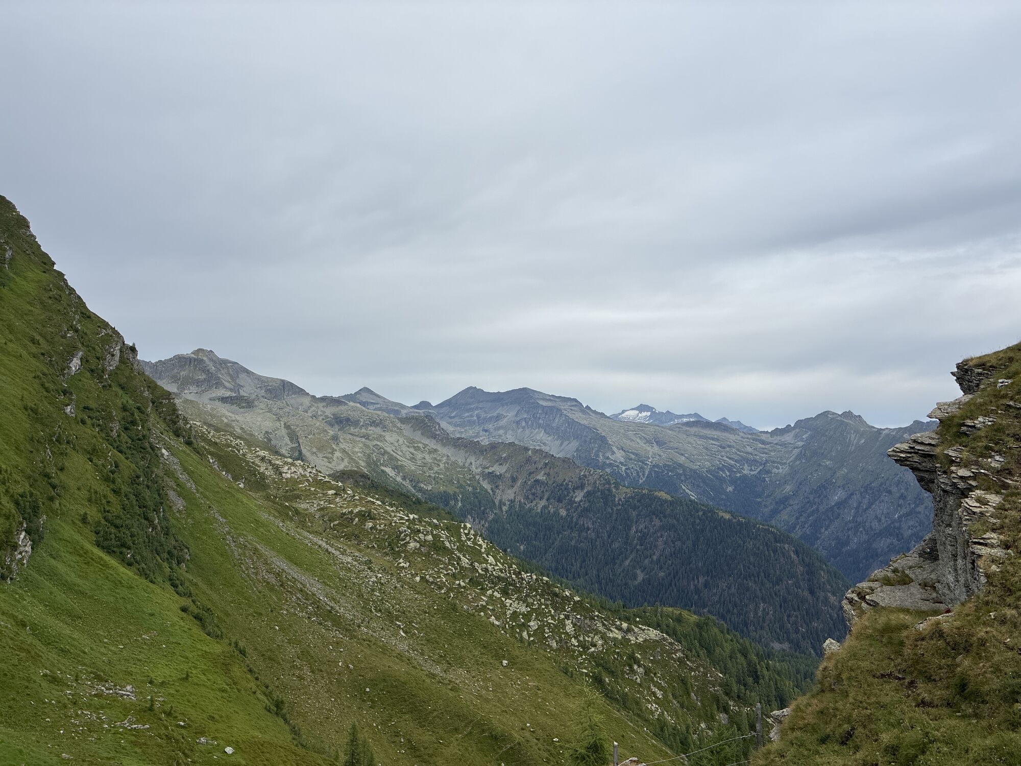
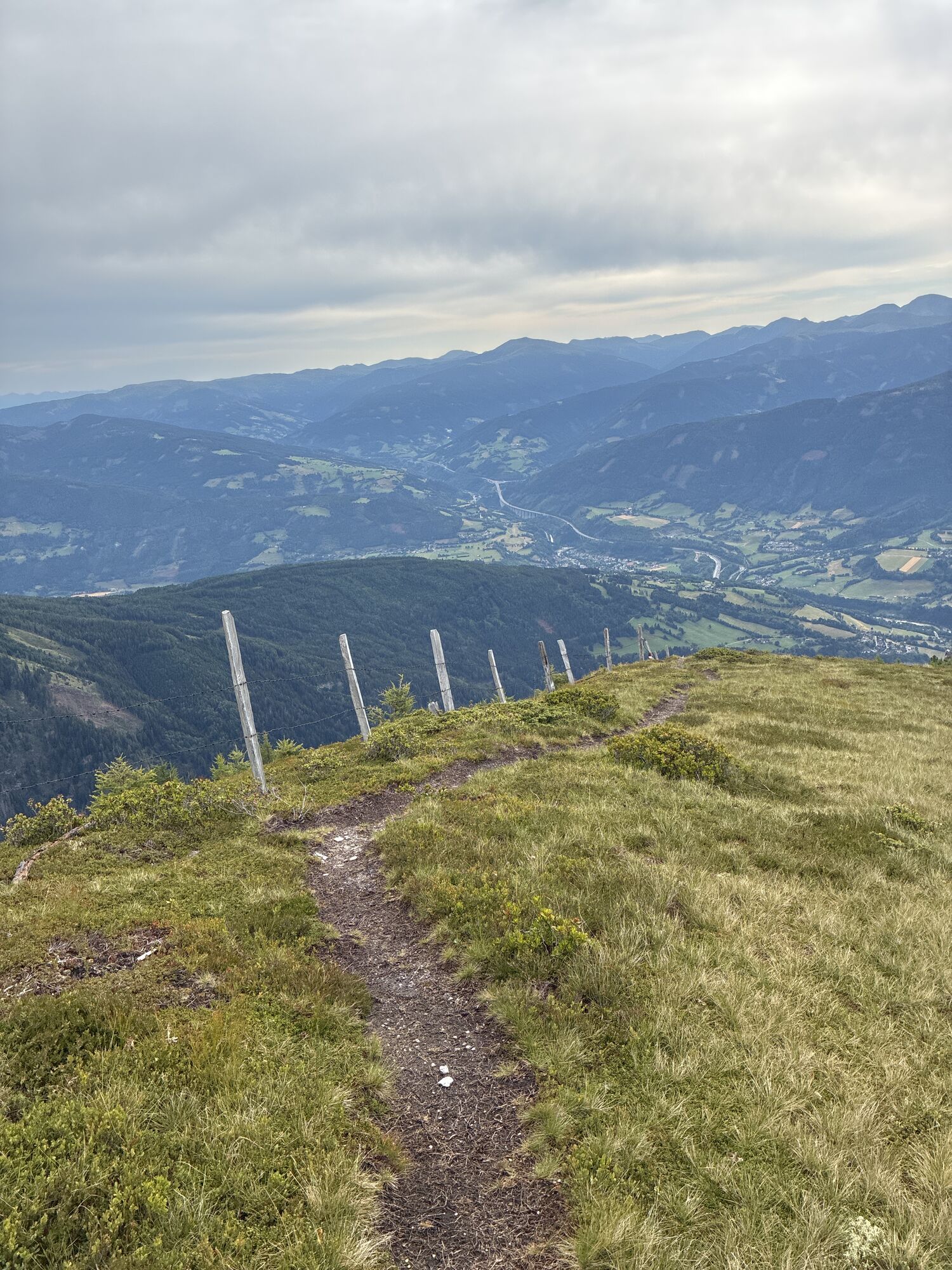
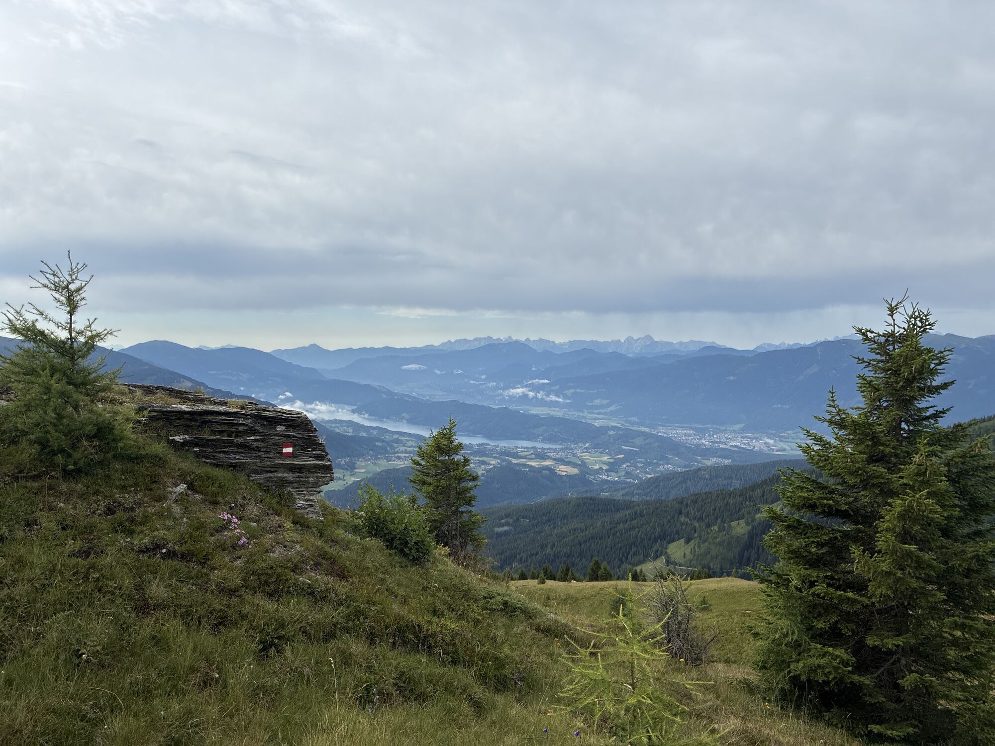
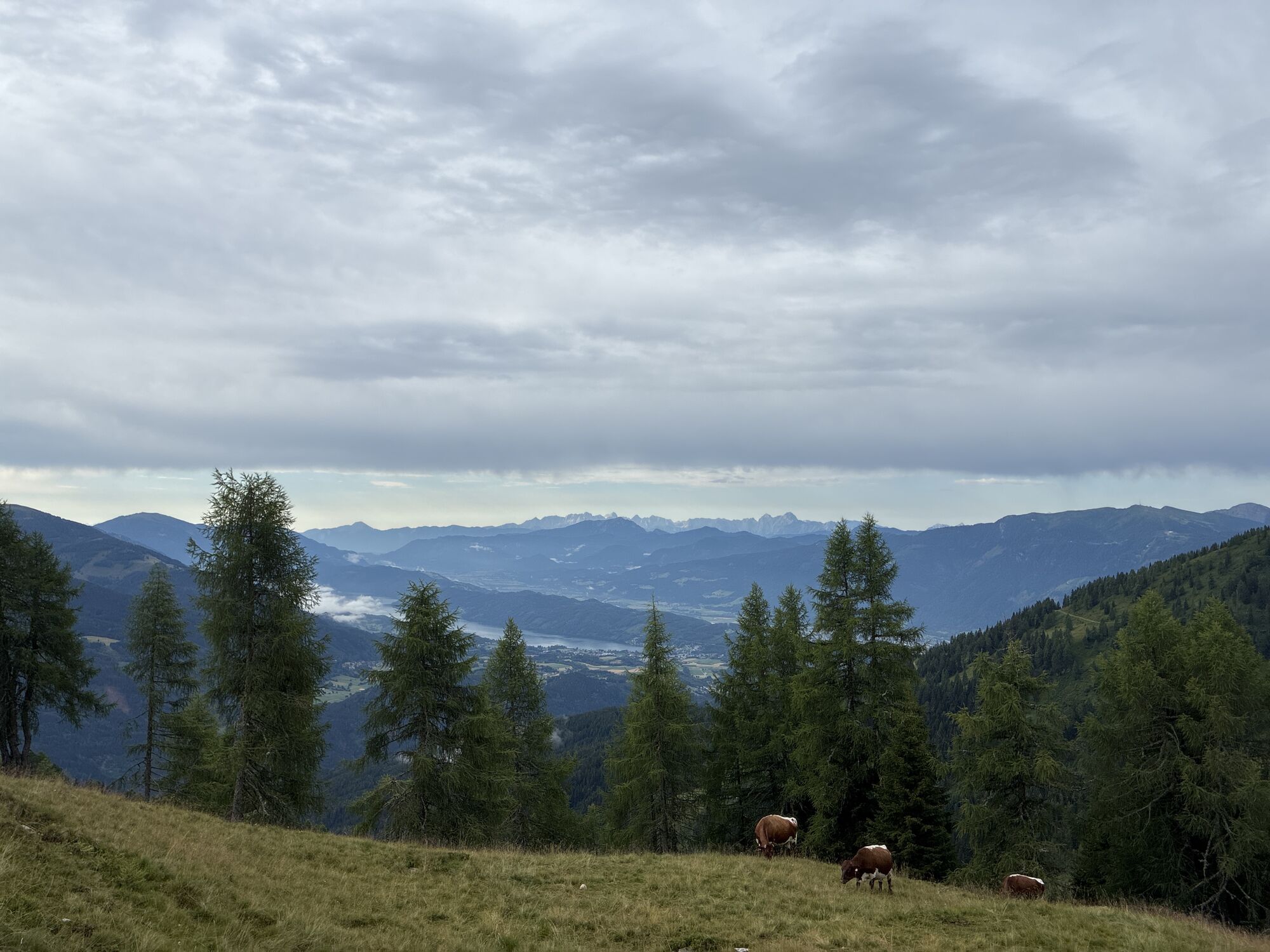
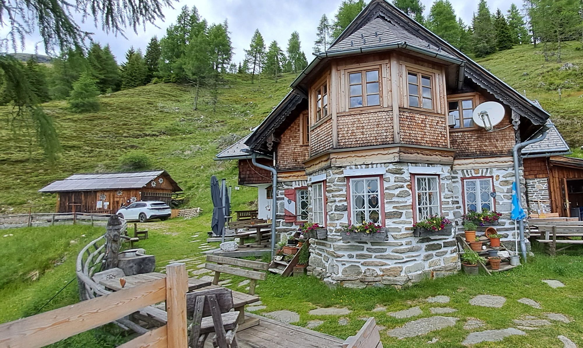
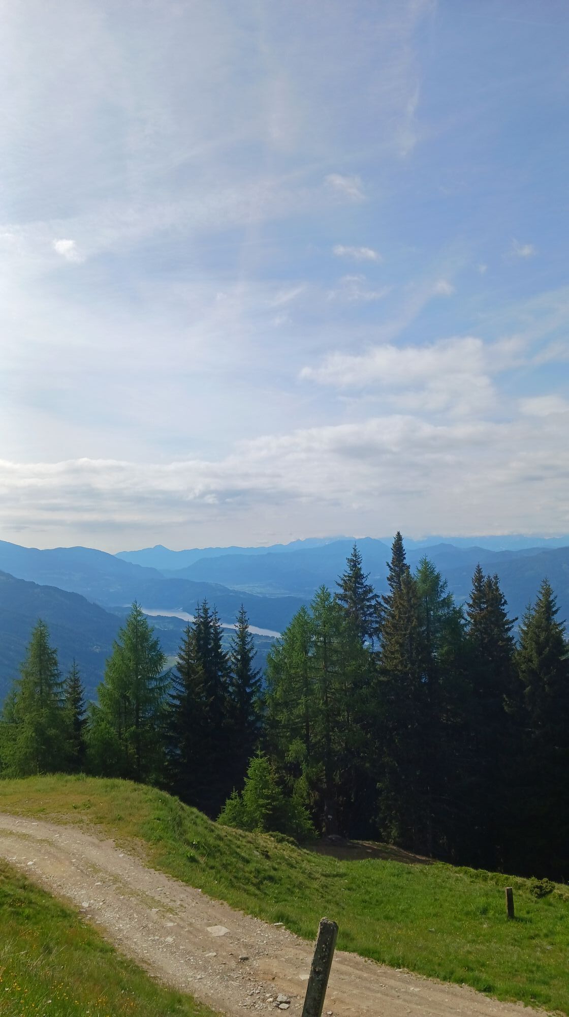
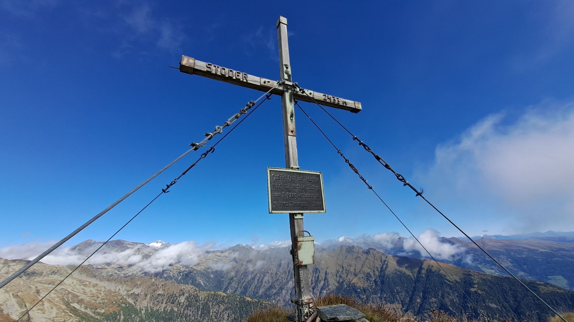
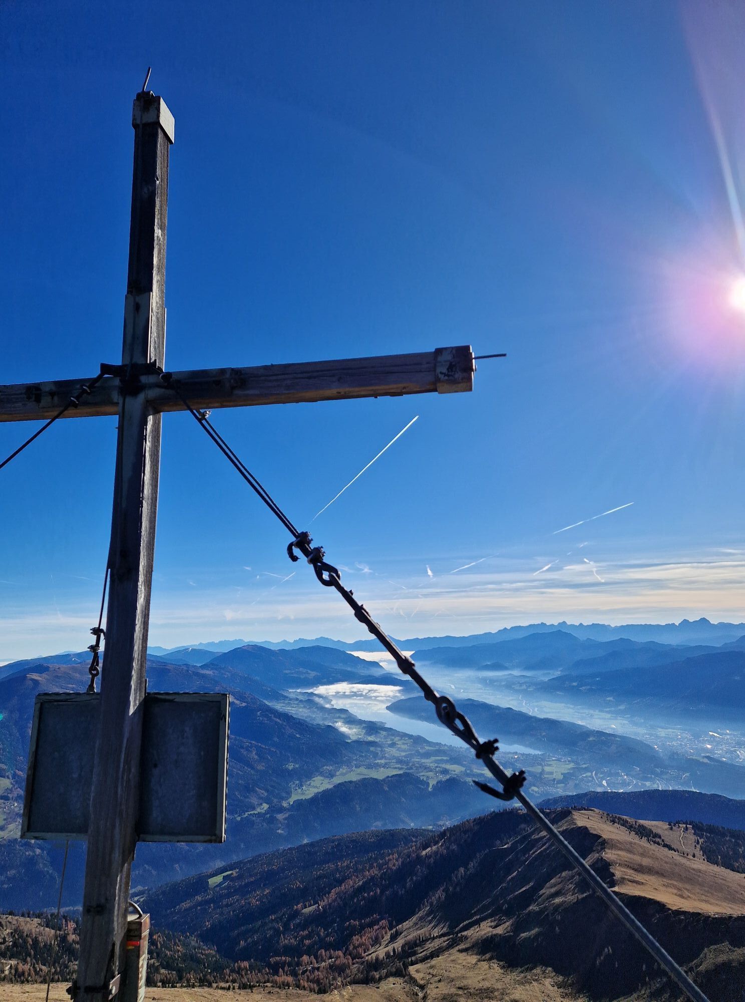
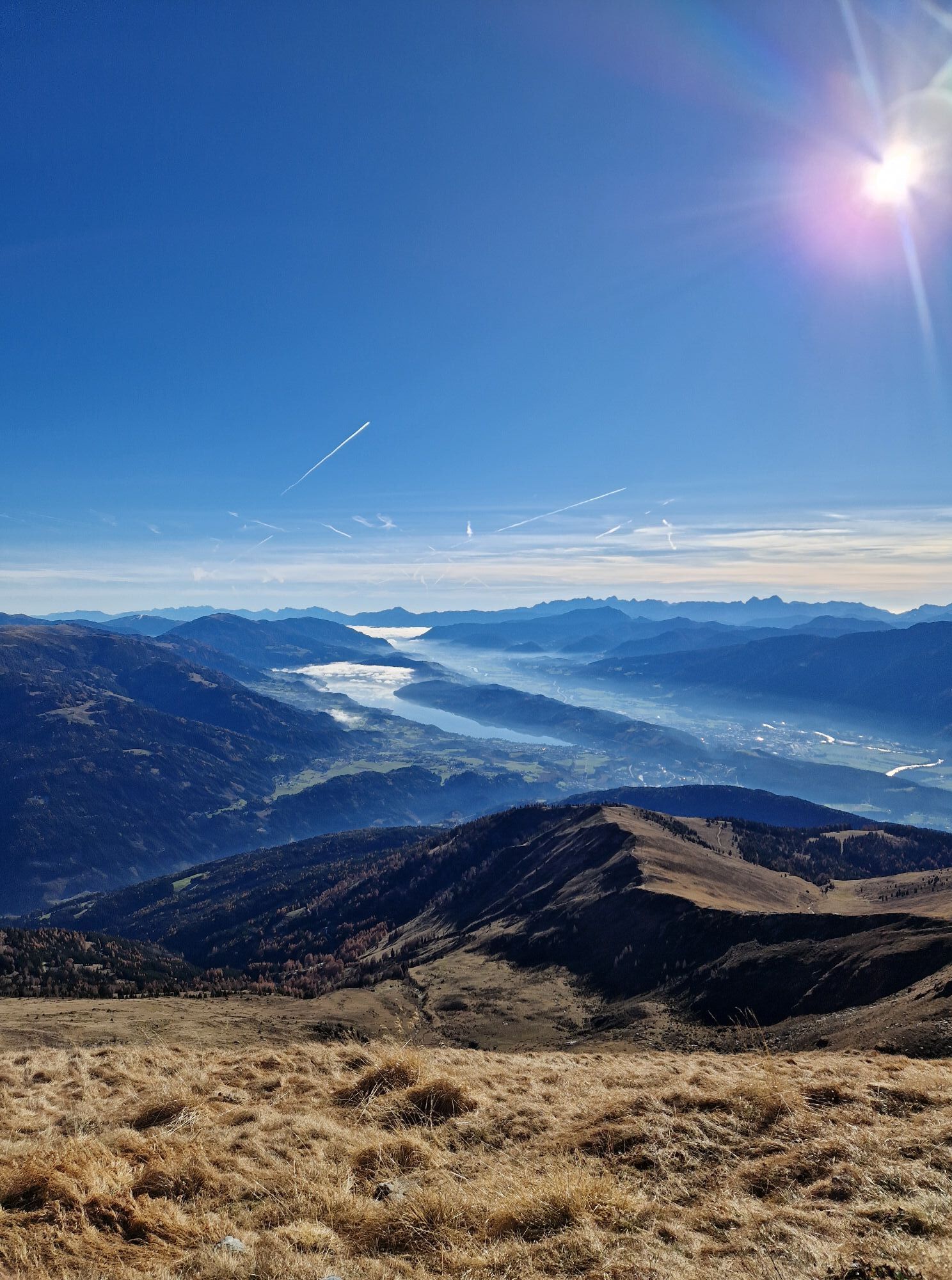
From the Bergfriedhütte, the marked trail No. 563 leads over alpine meadows to the Tendlscharte. From there, it goes along the ridge to the small Stoder. The ascent to the large Stoder includes a short...
From the Bergfriedhütte, the marked trail No. 563 leads over alpine meadows to the Tendlscharte. From there, it goes along the ridge to the small Stoder. The ascent to the large Stoder includes a short rope-secured climbing passage.

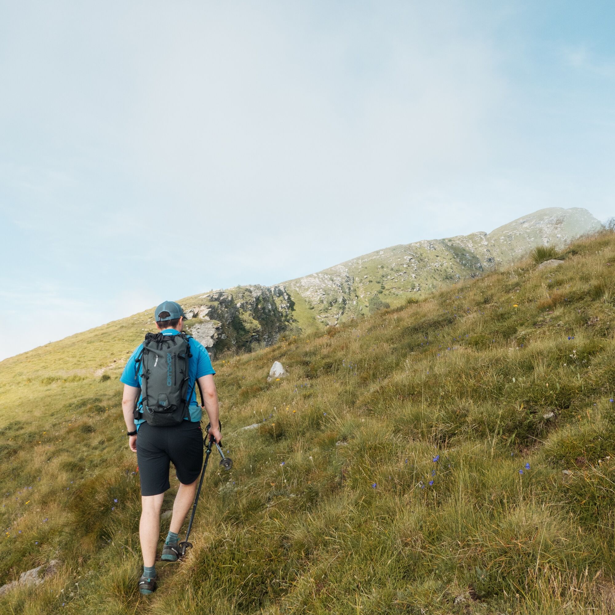
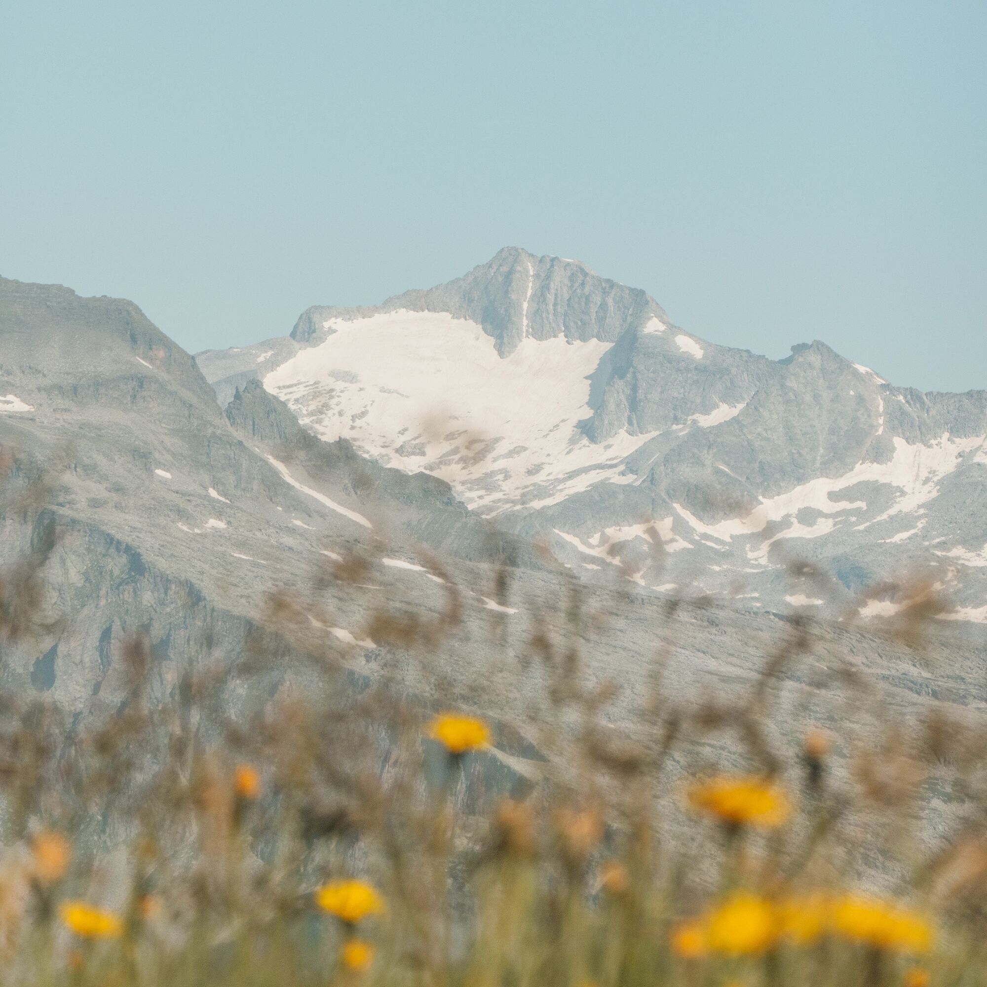
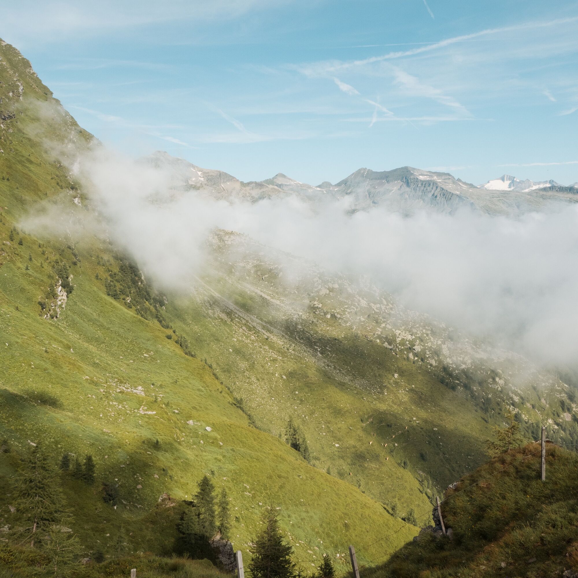


From the Bergfriedhütte, the marked trail No. 563 leads over alpine meadows to the Tendlscharte. From there, it goes along the ridge to the small Stoder. The ascent to the large Stoder includes a short rope-secured climbing passage.
Ano
Ano
For a successful and safe mountain route, careful preparation and the right equipment are essential. In addition to thoroughly studying hiking guides and maps, having optimal gear is crucial. A good basic equipment includes:
Slip-resistant, well-fitting mountain or hiking shoes Weatherproof clothing (e.g., functional clothing, rain jacket) Hiking poles for additional support Sunglasses and sun protection Mobile phone and hiking map A first aid kit for emergencies Enough drinking water and a nourishing snackThis equipment ensures that you are well prepared to experience your mountain route safely and enjoyably.
The Bergfriedhütte is accessible by car from Trebesing via a toll alpine road.
Toll: Please have €6 in coins (€2 and €1) ready. No change function available.
There is a free parking lot in front of the Bergfriedhütte.
T3


Oblíbené prohlídky v okolí
- 5.0
Bergfried Hütte, Stoder 2433, Gmeineck 2592
heavyTuristika 8.23 km - 5.0
Bella Vista auf Hohe Leier
středníVia ferrata 15.6 km - 4.8
Enzian-Granatsteig & Almbrunn Steig
světloTuristika 8 km - 4.8
H-2-O Höhenweg
světloTematická stezka 5.40 km - 4.8
Nockhöhensteig
středníTuristika 7.67 km - 4.7
Family bike ride along the bike path R9B Gmünd - Maltatal
středníJízda na kole 33.8 km - 4.1
Barbarossa Gorge near Mühldorf/Mölltal
světloTuristika 2.74 km - 4.3
Zwergsee route Millstatt
světloTuristika 4.01 km - 4.7
Tschiernock high-altitude circular hiking trail
heavyTuristika 15.8 km - 4.4
Tschiernock, Hochpalfennock, Tschierwegernock, nock nock nock ... ;)
světloTuristika 10.4 km

Pěší turistika a stopování


Nenechte si ujít nabídky a inspiraci pro vaši příští dovolenou
Vaše e-mailová adresa byl přidán do poštovního seznamu.





