


Warmbad Archaeology Trail
Úroveň obtížnosti: T1
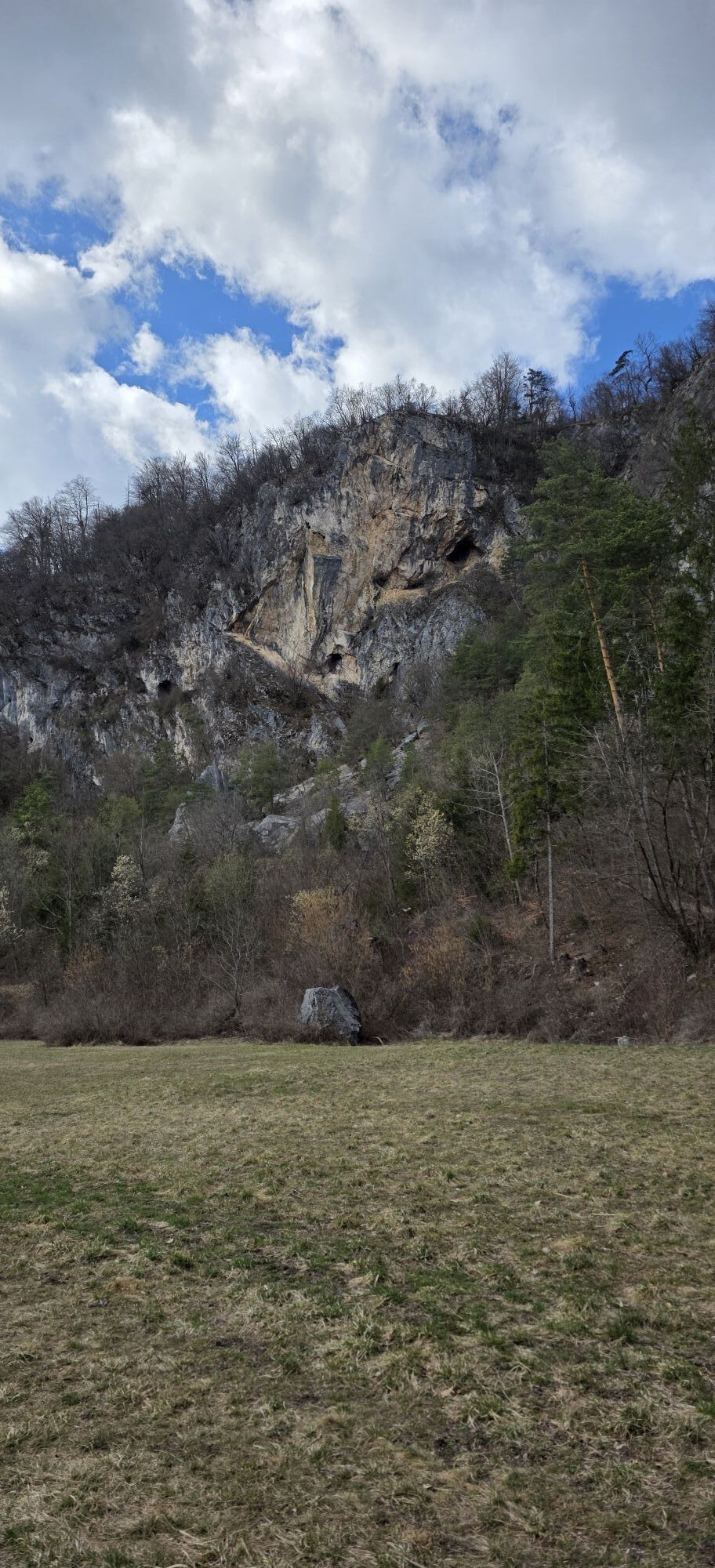
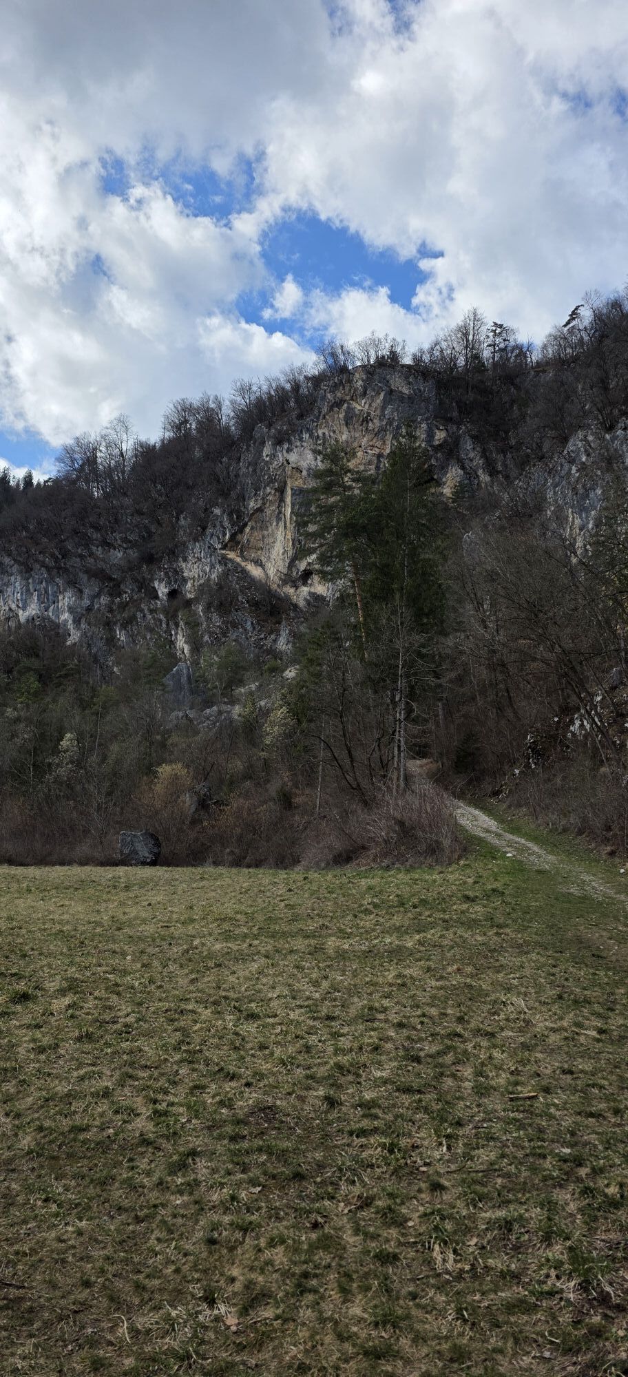
SETTLEMENT WITH A FAR REACHING VIEW: THE TSCHELTSCHNGKOGEL (KADISCHEN)
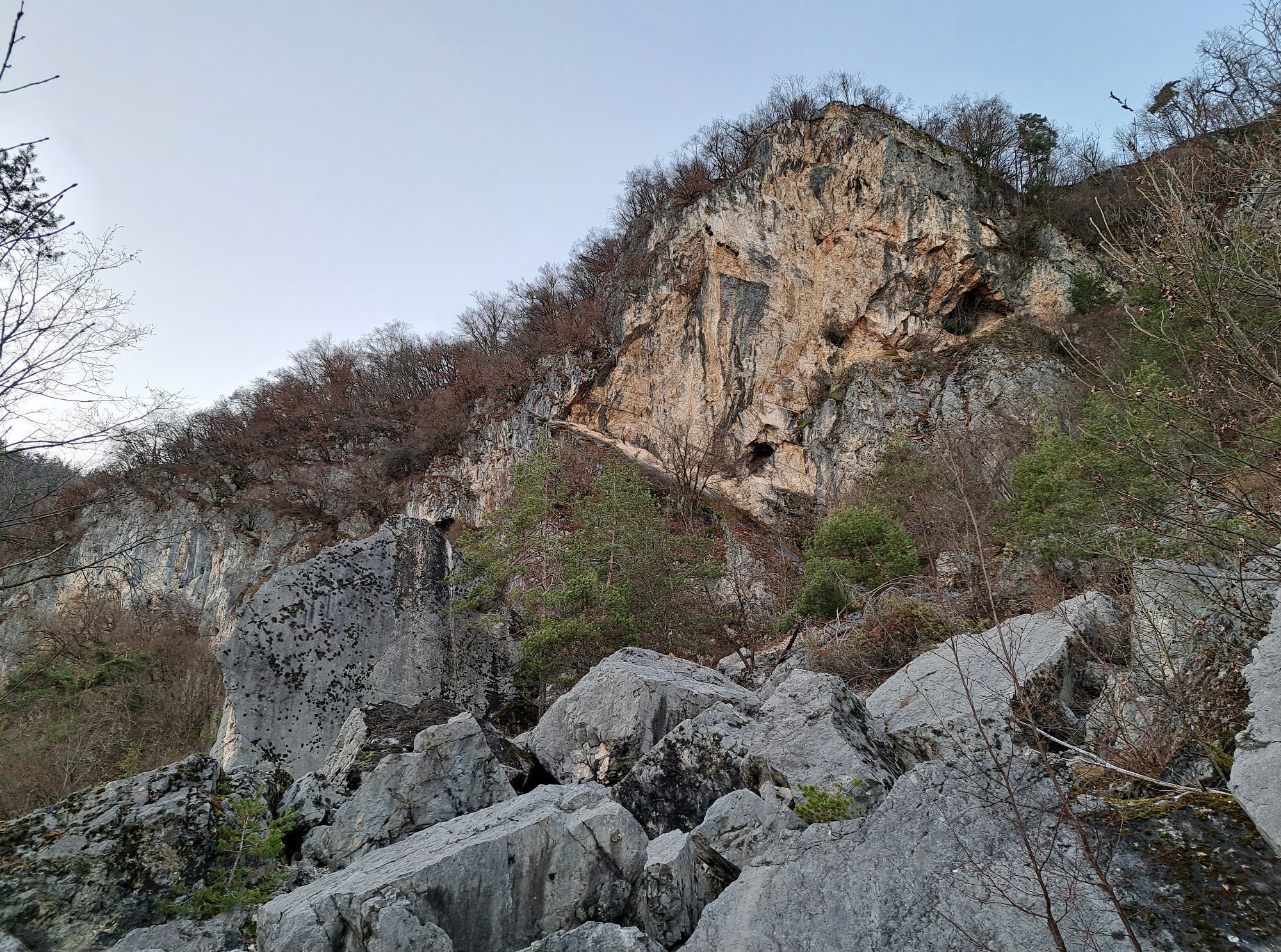
The name for the 695 m high limestone summit on the eastern foothills of the Villacher Alpe comes from the Tscheltschnigg family,...
SETTLEMENT WITH A FAR REACHING VIEW: THE TSCHELTSCHNGKOGEL (KADISCHEN)
The name for the 695 m high limestone summit on the eastern foothills of the Villacher Alpe comes from the Tscheltschnigg family, who were residents of the Judendorf community and owners of a farm here for centuries. The designation "Kadischen" can be derived from the Slavic grad = castle and, like the German name "Burgkopf", refers to the late antique refuge castle located there.
Both the panoramic view stretching from Gummern over the Villach basin to the Federaun pass and the steep rock faces to the north and south as natural protection offered the nearby civilian population the ideal conditions to build a fortification. This facility dating to the 5th/6th century and the extensive finds dating from the Neolithic to the Middle Ages, which also come from numerous caves, shafts, and holes, make the Tscheltschnigkogel and its surroundings a central point in Villach's settlement history.
The only settlement structures on the Tscheltschnigkogel are those of the late antique fortification. They were uncovered in the 1930s. Similar facilities to the Tscheltschnigkogel can be found at Duel near Feistritz an der Drau and on the Hoischhügel near Thörl-Maglern. This fortification triangle Duel-Hoischhügel-Tscheltschnigkogel was probably also constructed to protect northern Italy from invasions by marauding peoples.
THE OLDEST CHURCH IN VILLACH: EARLY CHRISTIANS ON THE TSCHELTSCHNIGKOGEL
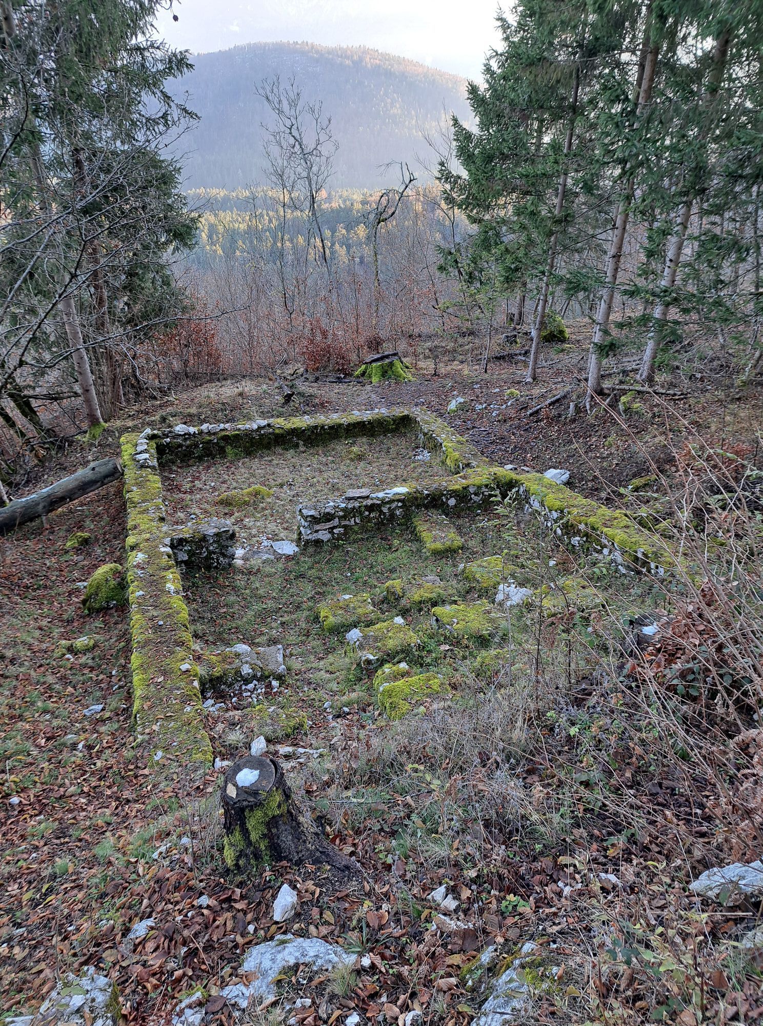
In the excavation begun in autumn 1936, remains of a building 15.6 x 7.5 m in size, divided into five rooms of different sizes, were uncovered. Within the largest of these rooms is a smaller room 4.7 m long and 3.45 m wide, whose semicircular end is directly attached to the east wall of the room. In addition to building remains such as multicolored and white wall plaster, window glass, two fragments each of a marble column and a fragment of a marble altar slab, human skeletal remains of a high-ranking person were also found. This led to the conclusion that these are the remains of an early Christian basilica, which undoubtedly was connected with the fortification.
Soon after, however, archaeologists believed that it was a villa from the middle imperial period, overbuilt in late antiquity by a burial chapel. Recent research has shown that it is indeed the remains of an early Christian church, thus proving the location of the first church on Villach soil. In particular, for people approaching from the north or northeast, the sacred building must have offered a picturesque and imposing impression.
Due to the poor state of preservation, the wall remains were reburied. Only the presbytery, referred to as the burial chapel with the semicircular clergy bench, remains visibly preserved.
REFUGE FROM THE BARBARIANS: THE HILL SETTLEMENT IN THE EAST
Already before and especially after the fall of the Western Roman Empire in the second half of the 5th century AD, troubled times began. Goths and Huns roamed the land plundering. Unprotected Roman settlements in valley locations were therefore abandoned. People fortified heights such as the Tscheltschnigkogel as refuges in times of danger. This cave settlement was intermittently inhabited in the 5th and 6th centuries AD.
The entrance to the east complex was secured by a wall that extends upward from the Kadischen rock edge across a small plateau, crosses the path, and ends on the mountain side in a nearly vertical rock face. Here there is a foundation built simultaneously with the wall for a wooden building 3.7 m long and 2.9 m wide.
The room below the path is 7 m long and 4.3 m wide. It is referred to as a watchtower due to its location. While three of the four walls consist of rubble stones, the side facing the path is mostly made of hewn marble blocks, spolia originating from an older building of unknown location.
Objects from various periods were found in this area, including four small capitals with column shafts, bronze fittings including a chest lock, a bronze wine strainer, an iron shovel, an iron ring knife, bone plates with circular ornaments, and a utilitarian vessel with charred rye grains.
WARM FEET: A ROMAN UNDERFLOOR HEATING
Here on the so-called "Sabinianus ground" are the remains of a late antique two-room building. The northern room (D) was equipped with underfloor heating. It was fired from the adjacent heating room (E). The heating channel between the rooms was protected against heat with plates of mica schist. The raised floor in room D rested on irregularly distributed pillars. It was covered with plates of marble, limestone, and mica. Wooden bricks built into the north wall acted as smoke outlets and wall heating. The building obviously served as a year-round residence for the commander of the fortified complex.
The excavations in 1934 revealed a marble basin destroyed by fire, several pieces of green bottles with Greek base stamps, a silver tweezer, and coins from the 3rd and 4th centuries AD.
Of significance is the find of a completely preserved votive altar from the 2nd century AD dedicated to the goddesses "VIBES," reused as a stair step with the inscription facing downward between the rooms. It is considered the first written evidence of the use of the Warmbad springs.
REFUGE FROM THE BARBARIANS: THE HILL SETTLEMENT IN THE WEST
Since the Tscheltschnigkogel is particularly easily accessible from its west side due to hardly any natural barriers, the western complex – unlike the eastern one – could only be secured with great effort. This was done by erecting a wall over 120 m long, 0.9 to 1.1 m thick at the base, which at the time of the excavation in 1933/34 was still preserved up to 2.1 m high at one point.
The fortification wall runs from the nearly vertical rock face on the north of the hill to the summit, where it bends west and ends shortly at the northeast wall of an inward-open bastion (room C). It continues on the southwest wall of the room, runs straight south, and ends after a few meters above a steep rock cliff.
The finds from the western complex mainly include a head of a marble statuette, probably representing the Celtic-Roman deity VIBE, the right hand holding a bowl probably from the same statuette, a dedicatory altar of a city councilor from Virunum to the VIBES, reused as a stair step, as well as iron knives, keys, nails, fittings, coins from the 2nd century AD, and various ceramic fragments from the Hallstatt period to the early Middle Ages. On the inside of the north wall of the bastion, the skeleton of a man about 1.65 m tall was uncovered. The man's body was buried without grave goods and probably in haste.
SACRIFICE PIT OR CEMETERY? THE DUREZZA SHAFT CAVE
Searching for another access to the "Eggerloch cave," members of the "State Association for Speleology" began excavating the ground depression here in December 1989. When the first human and animal skeletal remains appeared, the work was temporarily stopped and resumed in July 1996 under the scientific direction of Dr. Paul Gleirscher, archaeologist at the Carinthian State Museum.
By the end of the excavation campaign, around 40,000 animal and about 20,000 human bones and bone fragments were recovered. After months of investigation by Univ.-Prof. Dr. Egon Reuer and Dr. Susanne Fabrizii-Reuer, it was determined that at least 138 individuals reached the cave, with ages at death ranging from newborns to 65-year-olds. Among them were 36 children up to the age of 14. Of 102 adult skeletons, 41 were male and 54 female; seven skeletons could not be assigned a gender.
Accompanying finds such as glass jewelry, garment pins (fibulae), earrings, and bronze bracelets can be assigned to the late Hallstatt period. The filling of the cave likely began around 580 to 550 BC.
Of the animal skeletal remains, a very large amount belongs to amphibians and small mammals that only accidentally entered the cave. The rest includes domestic animals such as dogs, pigs, sheep, goats, and cattle, as well as wild animals like red deer, fox, lynx, hare, and wisent.
While the question of whether the Durezza cave is a sacrifice pit or merely a burial place cannot currently be answered definitively, the available findings provide a modest but impressive insight into the living conditions of the people who settled here around 2,500 years ago. The settlement related to the Durezza cave must have been located nearby and, with an occupancy period of about 100 years, was constantly inhabited by about 40 people.
WARMBAD INDUSTRIAL AREA: QUARRIES
Natural stone is one of the oldest materials along with wood and clay. Used directly as rubble stone or after shaping, it is mainly used for constructing buildings and structures. Broken into gravel, it is used for the construction of roads or – processed into aggregate – for concrete and mortar in different grain sizes.
The operation of quarries near Warmbad has been documented since the first half of the 19th century. A very small, inconspicuous quarry existed for a short time directly at the Maibach springs and is hardly recognizable today. The friends of the Maibach built bathing pools from the stone and gravel remains. A large quarry was located in the so-called Gräflach, a limestone rock group west of the Schießstatt meadow. It supplied material for the Walterhof built by Ludwig Walter in 1847/48. The "Tschamer quarry" was directly in the Kadischen rock face. Both quarries were leased for a long time to the Gail construction management. They produced embankment cobblestones for regulating the Gail river.
Apparently, the quarry operations did not leave the neighboring cave system and thermal springs unaffected. After a blasting ban was issued, the quarries were permanently closed.
WARMBAD INDUSTRIAL AREA: SHOT FACTORY AND BRICKWORK
In 1816, Philipp della Torre built a factory at the southern foot of the Tscheltschnigkogel (Kadischen rock face) to produce shotgun pellets. It consisted of a 70-meter wooden tower attached directly to the vertical rock face. At the base of the wooden structure was a masonry chamber housing a pump well, two water tanks, and a shot drying oven.
About 20 meters south of the tower stood the "sorting house." It contained a kitchen, a living room, and a heated workshop. Another chamber housed a smelting kettle for producing arsenic-lead.
Due to economic difficulties, the operation was leased in 1818 to Villach merchant Friedrich Martin Goepel.
Despite the still tense economic situation, della Torre began producing bricks and built a brick kiln only a few meters below the shot factory in 1820. The centerpiece of the complex was two large furnaces made of stone and bricks with a capacity of 80,000 bricks. Two drying huts were located beside them. The brick warehouse and the workers' accommodation were housed in a large wooden building.
They produced wall bricks, oven bricks, hollow and paving bricks, as well as roof, ridge, and eaves tiles. The clay needed was taken from the natural, partly dried spring basins south of the factory. Today, a body of water known locally as "pond" or "Schießstatt pond" is located here.
All efforts to avert bankruptcy failed, leading to the auction of the heavily indebted operations in 1825. Within a short time, the German-born new owner Ernst Diez managed to rehabilitate the dilapidated factories.
Ernst Diez's wish for his two sons to continue the businesses was not fulfilled. After his death in 1865, all the businesses were closed.
WARMBAD INDUSTRIAL AREA: LIME KILNS
Already in antiquity, mortar made from water, sand, and slaked lime was produced. It not only provided the masonry with the necessary stability but was also used as plaster or screed.
Lime was burned in small field kilns mostly built in dry stone technique until the introduction of industrial production. Their remains can be found here. They were preferably located near or directly at the quarry.
The kiln mantle consisted of rubble stone and wooden formwork with earth insulation filled in between. Vertical spruce stems were placed in the vault, which after burning created draft holes for enhanced air supply. The firing lasted depending on kiln size up to four days and four nights. Two or three lime burners worked in shifts, consuming up to 30 cubic meters of wood.
One of the first references to lime burning comes from 1351. The last record of lime burning dates only a few decades back, linked to the rebuilding of the bomb-damaged Drau city. Due to a lack of investigations, only speculative statements can be made about the exact age of the lime kilns in the Warmbad-Villach area.
Today, only circular depressions in the forest floor remind of the numerous lime kilns that supplied precious quicklime between the Tscheltschnigkogel and the Graschelitzen. They are surrounded by low walls that are interrupted where the kiln was fired. They are often mistakenly identified as bomb craters or robbed burial mounds.
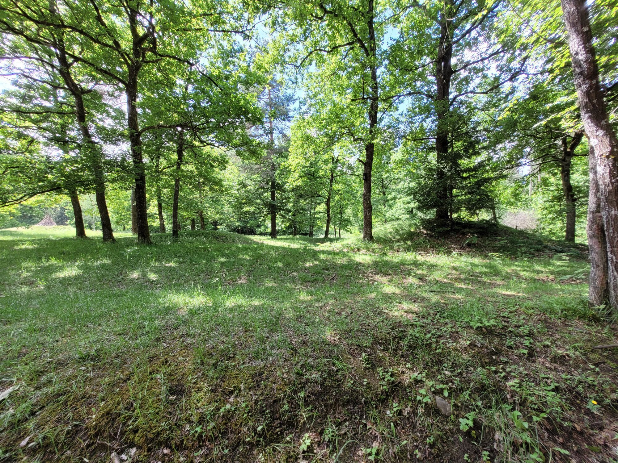
"GIANTS' AND HEATHEN BURIAL MOUNDS": THE BURIAL MOUNDS ON THE NAPOLEON MEADOW
The burial mound field on the Napoleon Meadow, alongside those in Gratschach/Landskron and Möltschach, is among the oldest visible signs of human civilization in the Villach area. The burial mound field on the Napoleon Meadow was used between 850/800 and 550 BC.
The burial mounds provide insight into burial rituals and the related ideas of the afterlife of that time. The dead were burned on a pyre with their clothing and any graves goods. The bone fragments were carefully collected and placed in an urn with the goods. This was then deposited in a grave pit or burial chamber and covered with an often several-meter-high earthen mound. Most burial mounds had already been robbed in antiquity.
At the beginning of the 19th century, there were still 60 of these giant or heathen burial mounds. In 1871, Gundacker Count von Wurmbrand opened 13 and Felix von Luschan 17 burial mounds. Luschan discovered the regionally significant "Warrior’s Grave of Villach". In September, Anton Ritter von Gallenstein opened another 30 burial mounds.
At the end of the 19th century, the Napoleon Meadow was turned into a military training area. During the construction of the "Schießstatt meadow," a large part of the burial mounds was leveled.
THE WARRIOR OF VILLACH: A NOBLE VILLACH RESIDENT AROUND 800 BC
Felix von Luschan probably opened the only undisturbed grave in 1871. It went into research as the "Warrior’s Grave of Villach." Chronologically, it marks the beginning of the "Hallstatt period" (around 800 BC). It shows clear connections to the northern Italian region.
In a smaller burial mound was a stone coffin about 0.60 x 0.75 m in size. Inside were four vessels, two of which served as ash urns. One urn contained the cremated remains of a middle-aged man. The other contained the remains of a young woman.
It is the burial of a socially high-ranking sword warrior. His sword, broken into five pieces, was ritually rendered unusable. Besides the sword, he had a razor, a knife, and a needle in the grave. The "Warrior of Villach" was a prominent figure around 800 BC. The settlement where he lived has not been found but was probably on the Tscheltschnigkogel.
WELL MARKED: THE ROMAN ROAD OF WARMBAD VILLACH
The export of glassware, ceramic products, Mediterranean food, and the like to the north, as well as the import of products from the province of Noricum, took place via the "Noric main road." This important trade route with the Eastern Alpine region left Aquileia northwards, crossed the iron and Canal valleys via Carnia, Resiutta, Larix (Campolaro), Pontebba, and the customs station Bilachinium (Camporosso/Saifnitz). From Saifnitz, the road led via Tarvis to the beneficiary station Meclaria (Maglern) at the exit of the Canal valley, then further through the lower Gail valley to Unterfederaun, where the Gail was probably crossed by a bridge. From here, the road steeply climbed the Federaun pass to Oberfederaun and led northeast along the Napoleon Meadow via Judendorf and St. Martin to Villach (Santicum).
Even today, the road route important for Villach's transport history from Oberfederaun to Warmbad with sections deeply cut into rocky terrain with ruts can be well followed for about 5 km.
The countless wagons that used this path since antiquity, the increasing freight volume in the 15th century, and erosion over many centuries had so damaged the road that by the 16th century, repair and expansion of the important north-south connection between Villach and the state border at Pontebba became unavoidable. For this reason, Bishop Veit II of Bamberg and his deputy Georg von Wichsenstein in Wolfsberg commissioned the Villach toll collector Christoff della Grotta to repair and possibly reroute the approximately 60 km long road at appropriate places.
A marble plaque, embedded vertically in a rock face a few meters above the road edge along the state road in Unterfederaun, still commemorates the completion of the important long-distance road expansion in 1575.

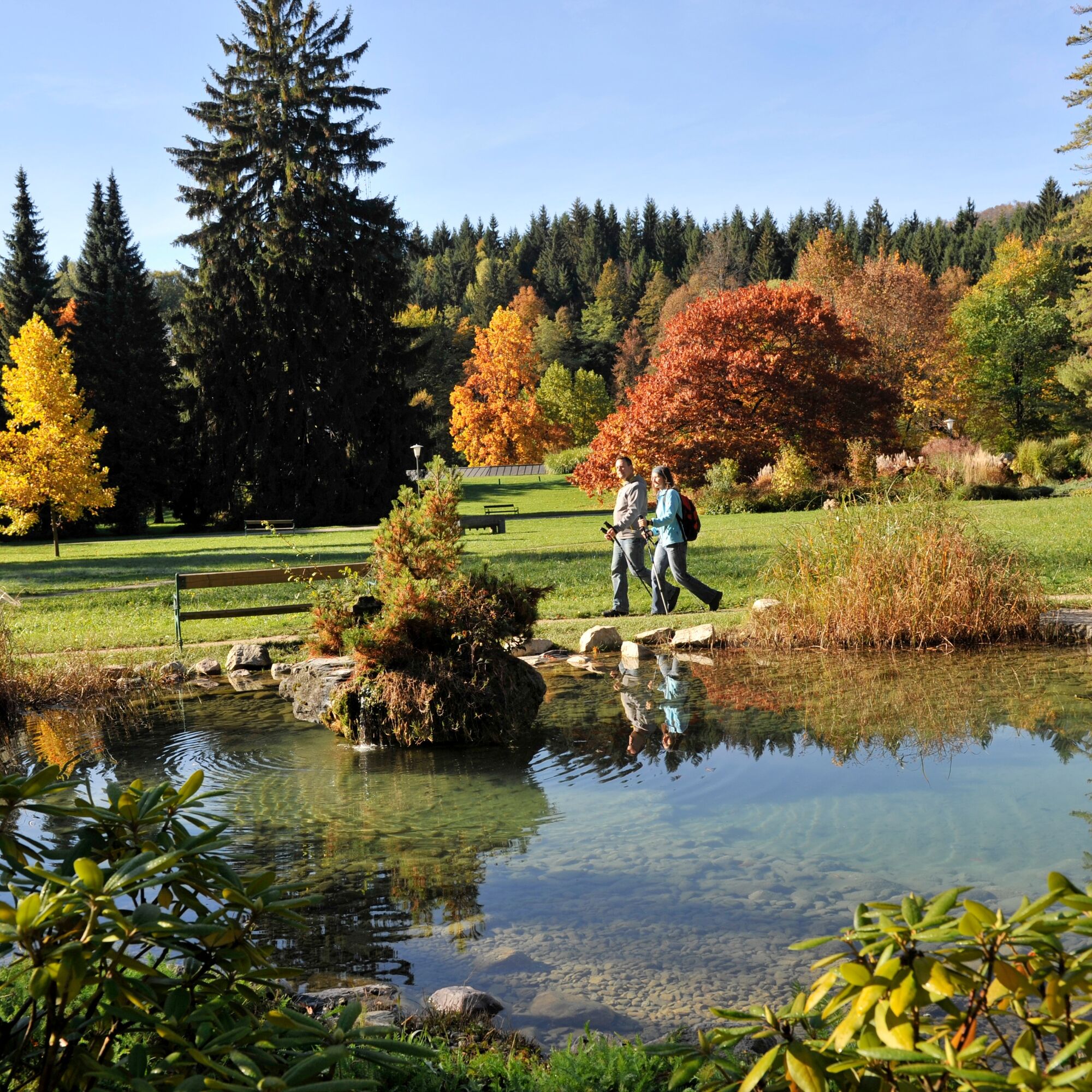

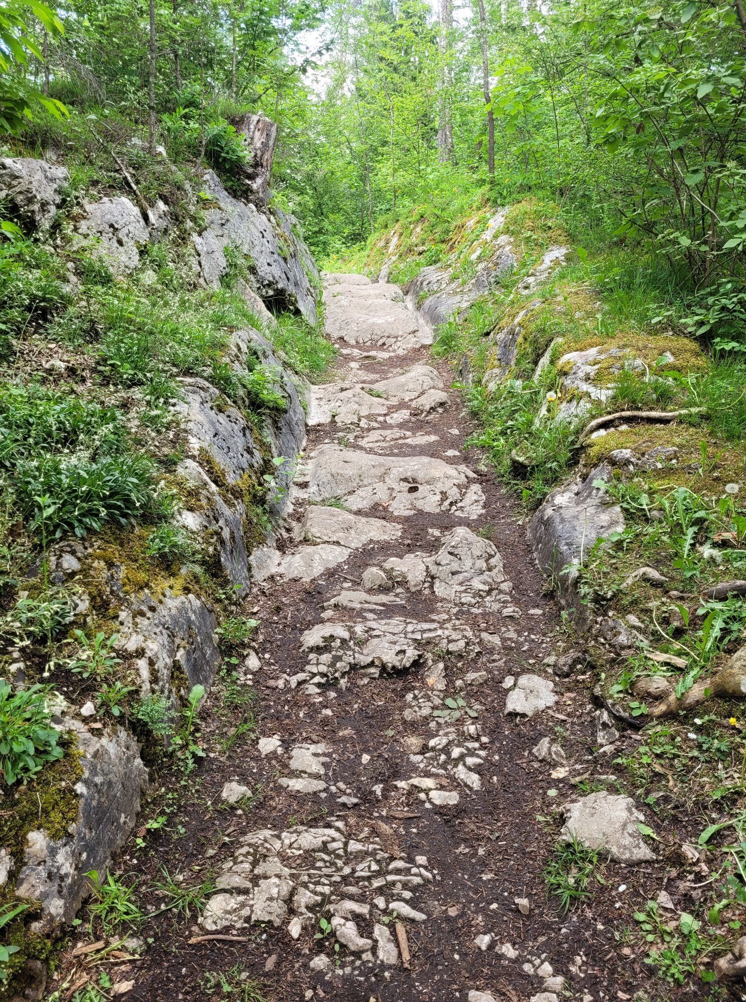
The route is simple and easy for young and old to manage. The start is at Warmbaderhof Villach, from here through the spa park (Volunteer Shooting Park) to the chapel and up towards the Napoleon Meadow. Here are the first burial mounds and remains of the "Roman road." Then you walk north along the wide hiking trail through beautiful deciduous-mixed forests; opposite a small pond are the remains of lime kilns, and the rock face of the Tscheltschigkogel (also called Kadischen) is already visible. Not only is the largest cave in the nature park, the Eggerloch, located here, but until the 19th century, there was also a shot factory and a brickworks.
Past the rock face and the "Butterfly Meadow," the path continues northwards to the Tscheltschnigkogel, where a short ascent must be overcome. Passing the walls of the oldest church in the region, the hiker discovers the hill settlement that offered protection against intruders during the migration period. On the way to the summit, you can also discover the wall remnants of a late antique building with underfloor heating.
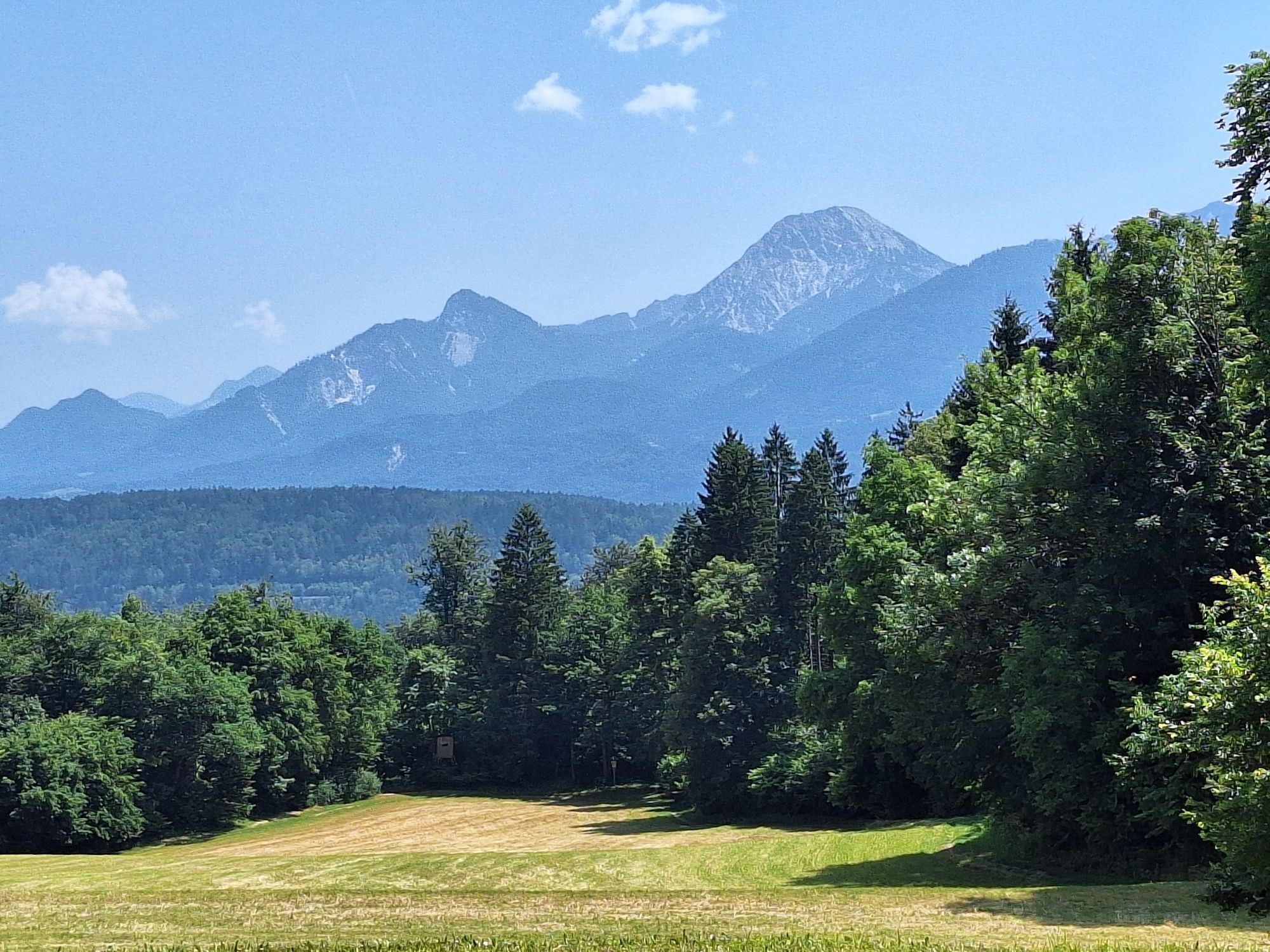
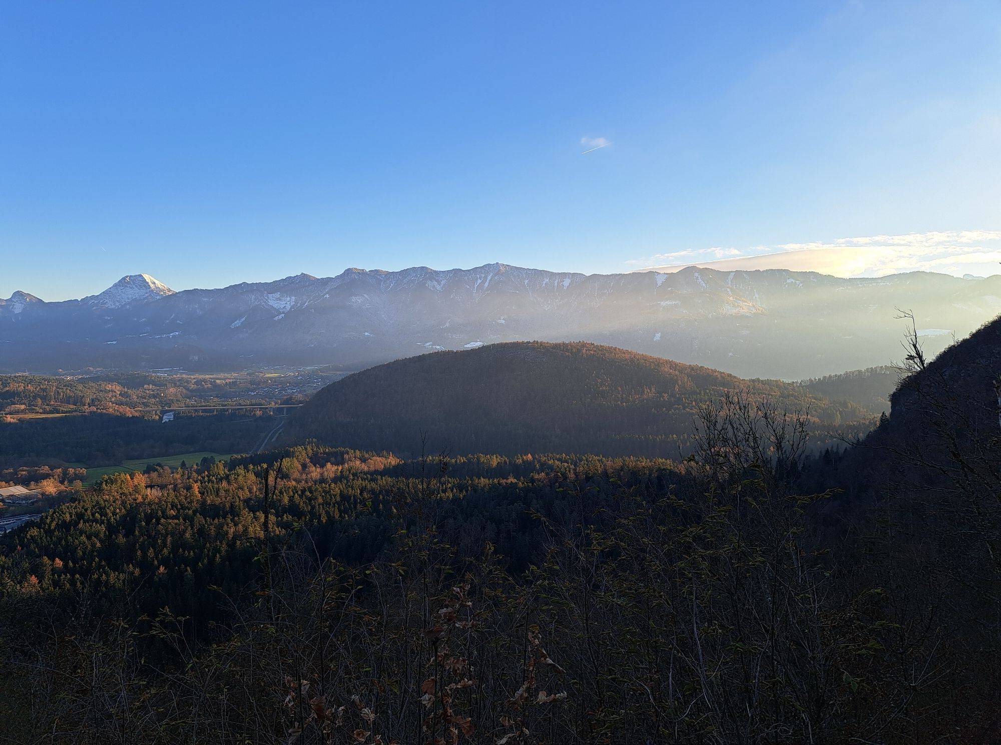
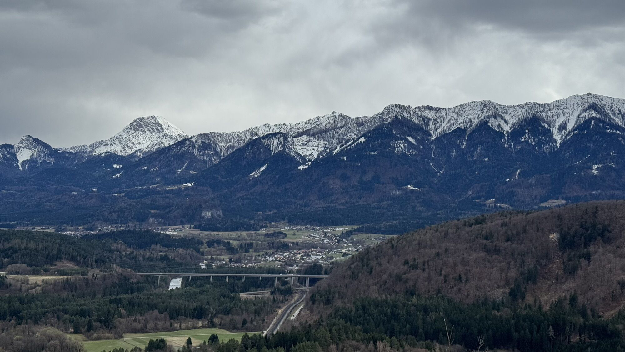
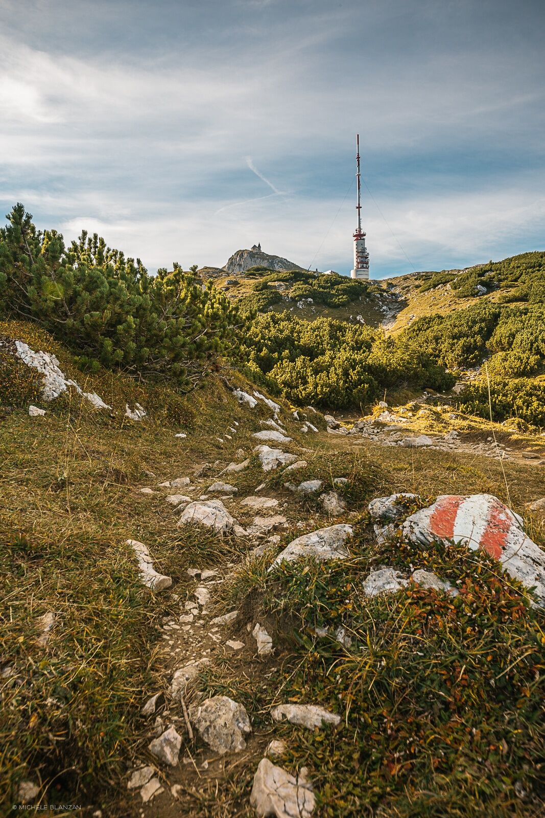
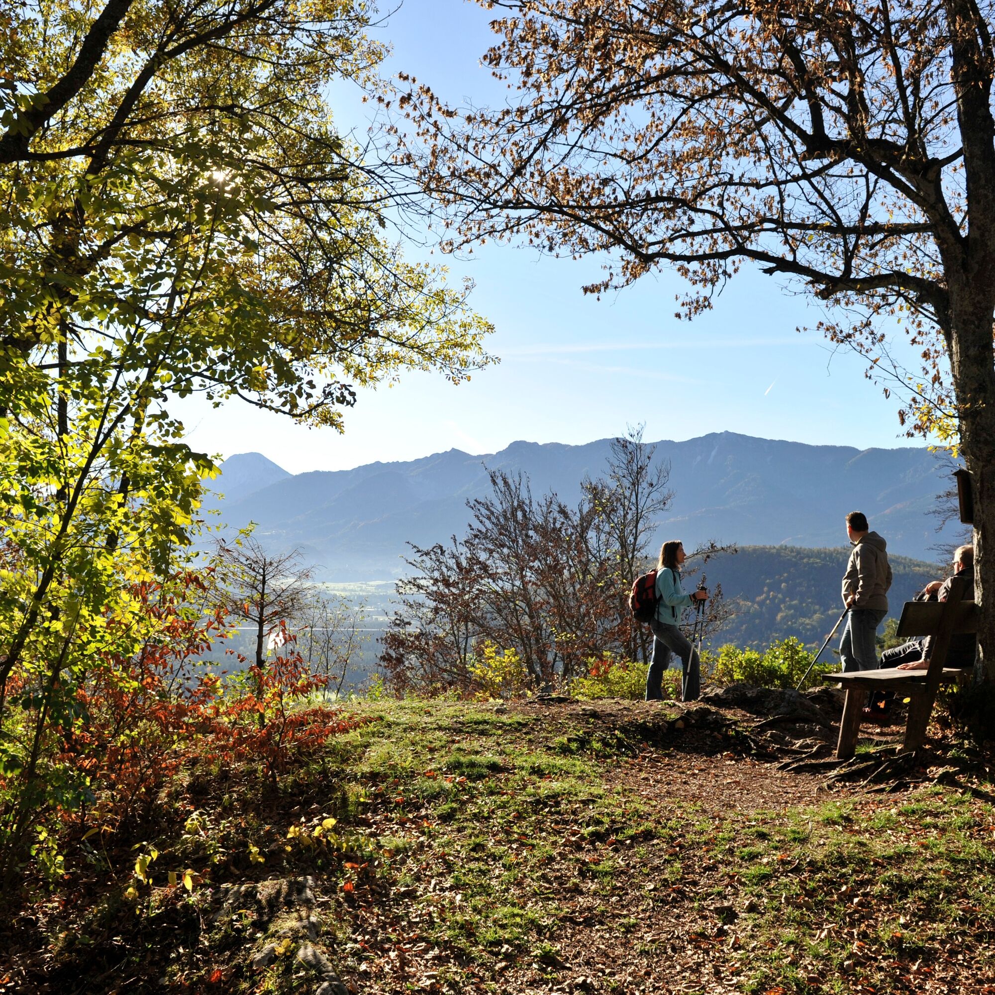
Upon reaching the summit of the 696-meter-high Tscheltschnigkogel, the magnificent view of Warmbad and the Karawanks rewards the efforts of the climb. Passing the Durezza shaft cave with over 40,000 animal and 20,000 human remains, you return to the starting point.
Ano
Ano
Ano
Outdoor shoes with good tread sole, food and drink, rain protection, etc.
Warmbad is best reached via the A2 – take the "Villach-Warmbad" exit.
From Villach main station by train or bus (S2 or 10) to Warmbad (stop Kärntentherme).
Sufficient free parking available at SKA Orthopädie Warmbad (formerly Zillerbad).
T1
After the hike, a visit to the thermal resort is recommended – either for a refreshment at Warmbaderhof or for swimming fun and wellness at the KärntenTherme.
Oblíbené prohlídky v okolí
- 4.5
Auf den Dobratsch mit der ganzen Familie
Turistika 8.40 km - 4.4
Finsterbach Waterfalls - Circular route
středníTuristika 3.87 km - 4.4
Lake circular trail
světloNordic Walking 9.85 km - 4.7
Gailtaler Alpen: Wanderung auf der Dobratsch
středníTuristika 8.50 km - 4.6
Rotschitza Klamm Klettersteig B/C
středníVia ferrata 3.73 km - 4.9
4 Huts route
středníTuristika 8.96 km - 5.0
Amberg: Palnock 1901m, Schwarzsee, Rundstrecke
středníTuristika 7.94 km - 4.5
Baumgtn. Höhe, Mallestiger Mittags- und Schwarzkogel
heavyZimní turistika 10.7 km - 4.4
Krnica Hut
středníTuristika 14.9 km - 4.0
Schwarzsee circular hiking trail
středníTuristika 7.79 km

Pěší turistika a stopování


Nenechte si ujít nabídky a inspiraci pro vaši příští dovolenou
Vaše e-mailová adresa byl přidán do poštovního seznamu.