







Gail hike Maria Luggau to Obertilliach
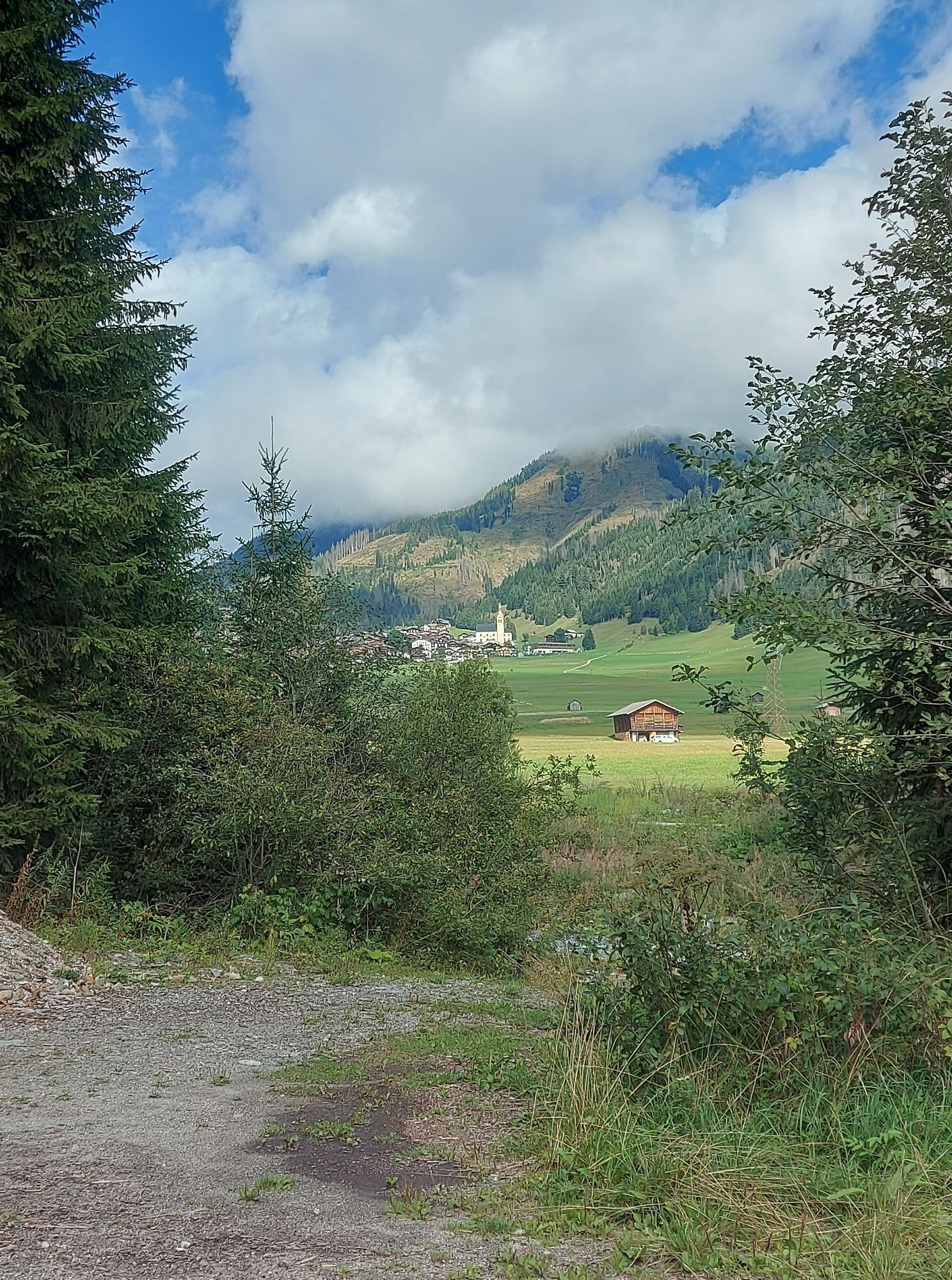
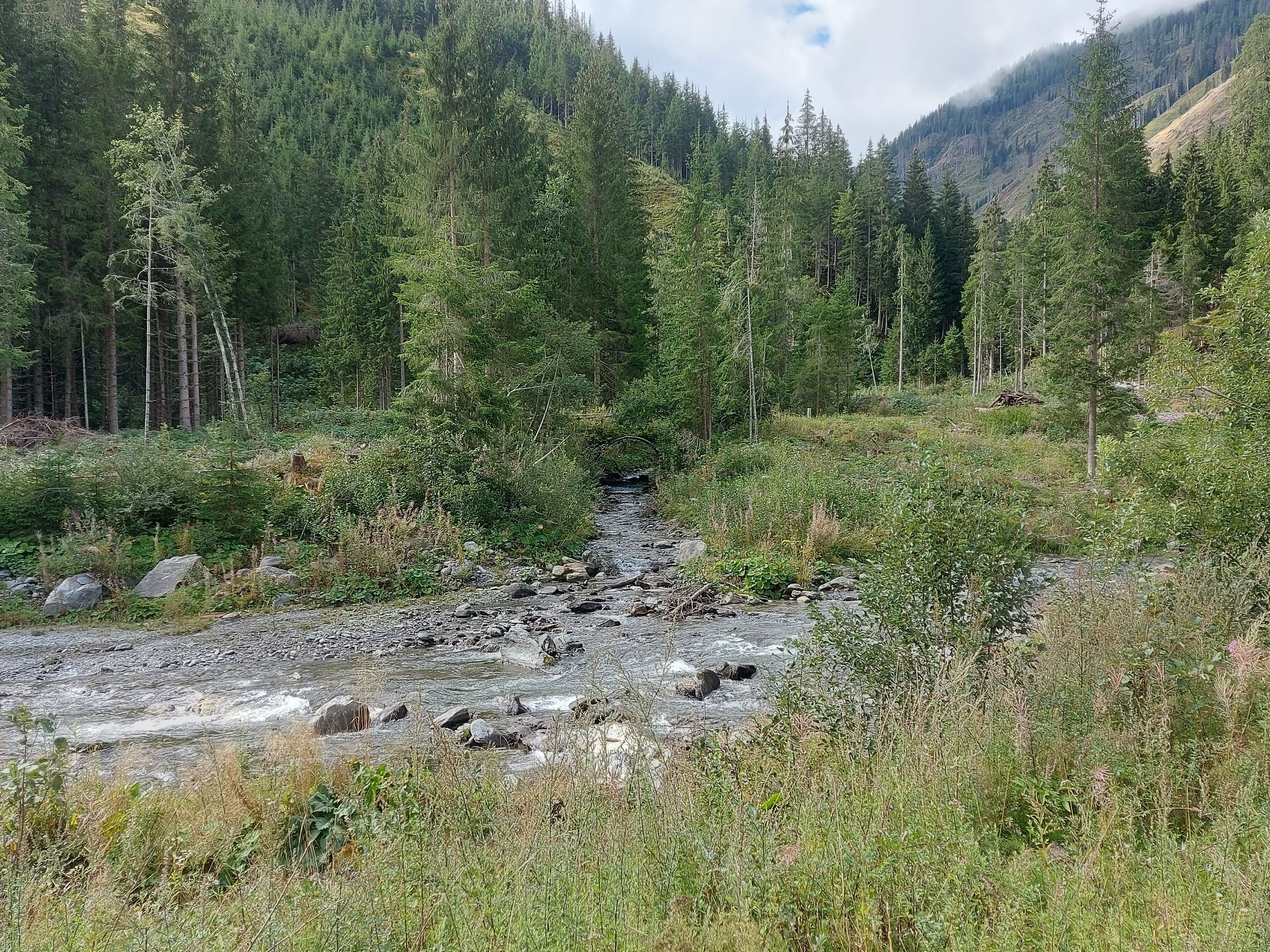
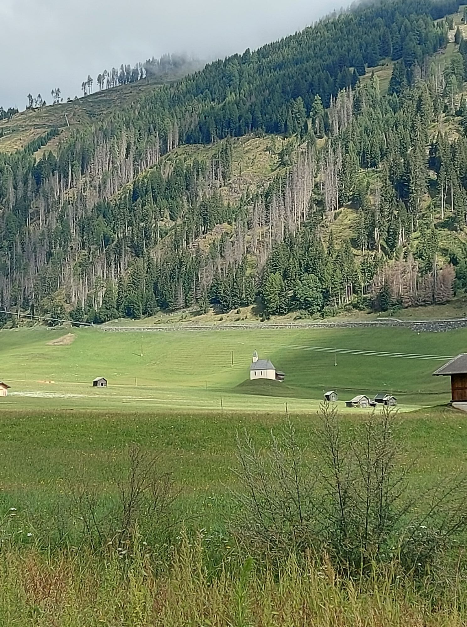
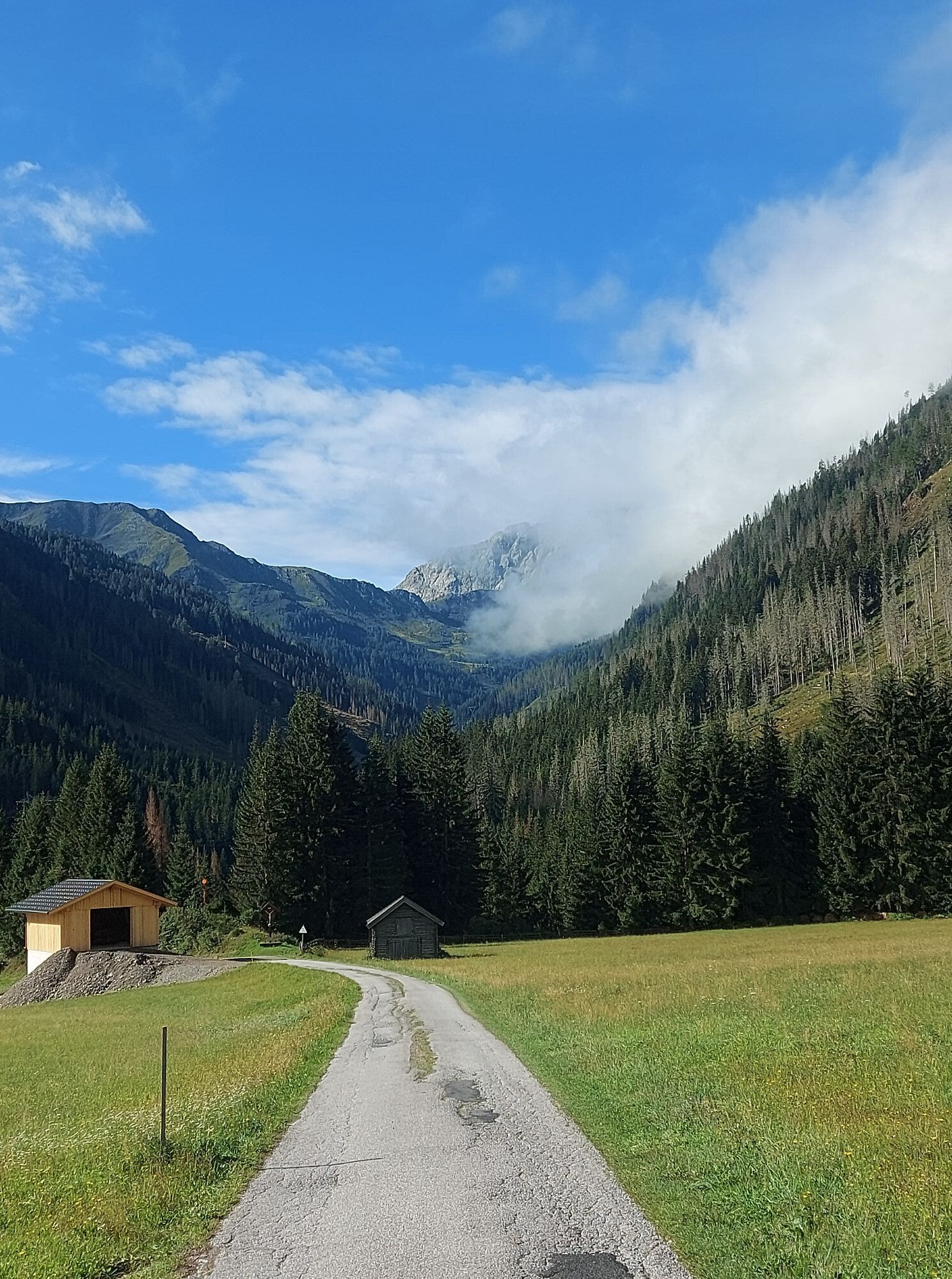

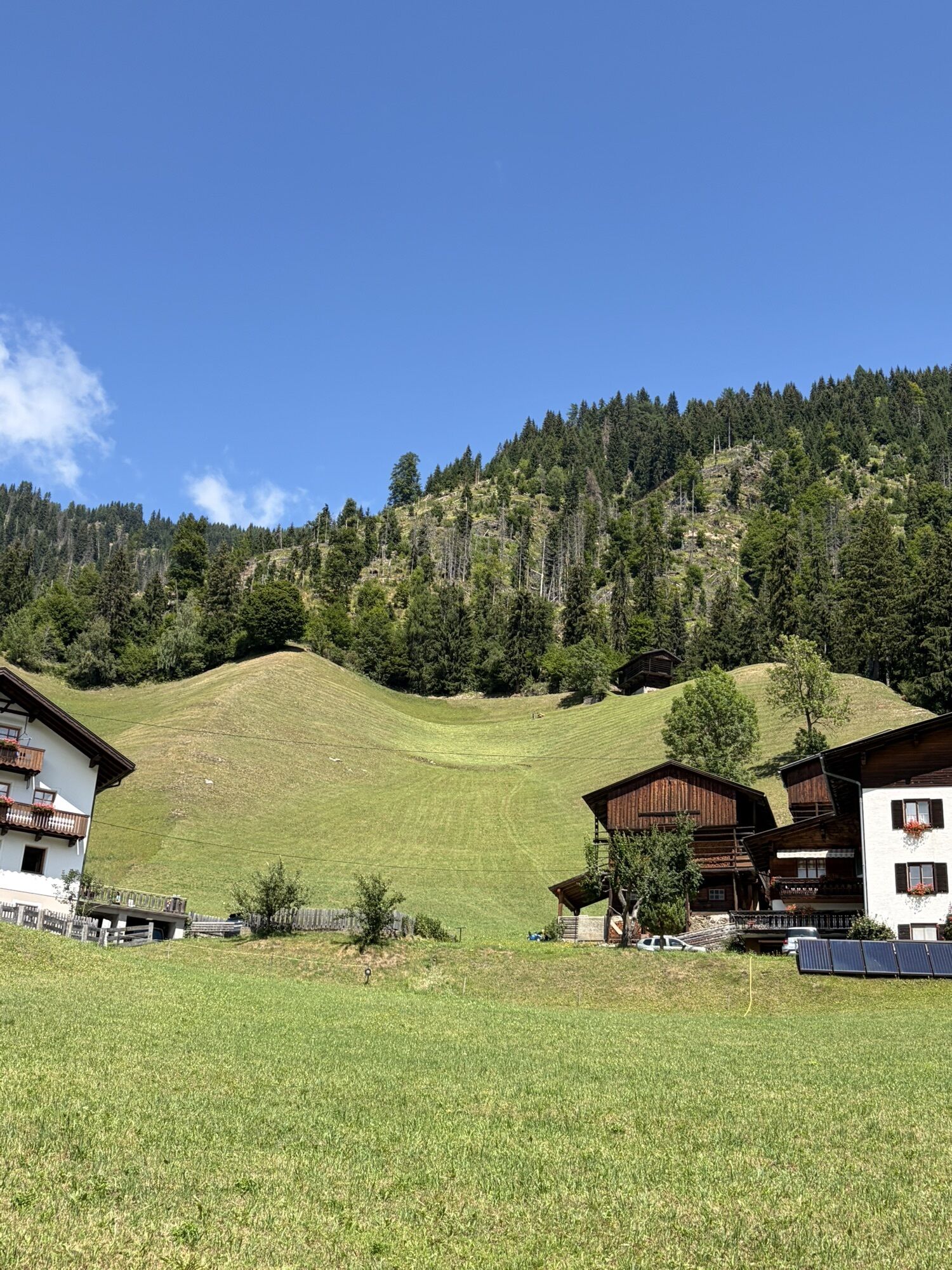
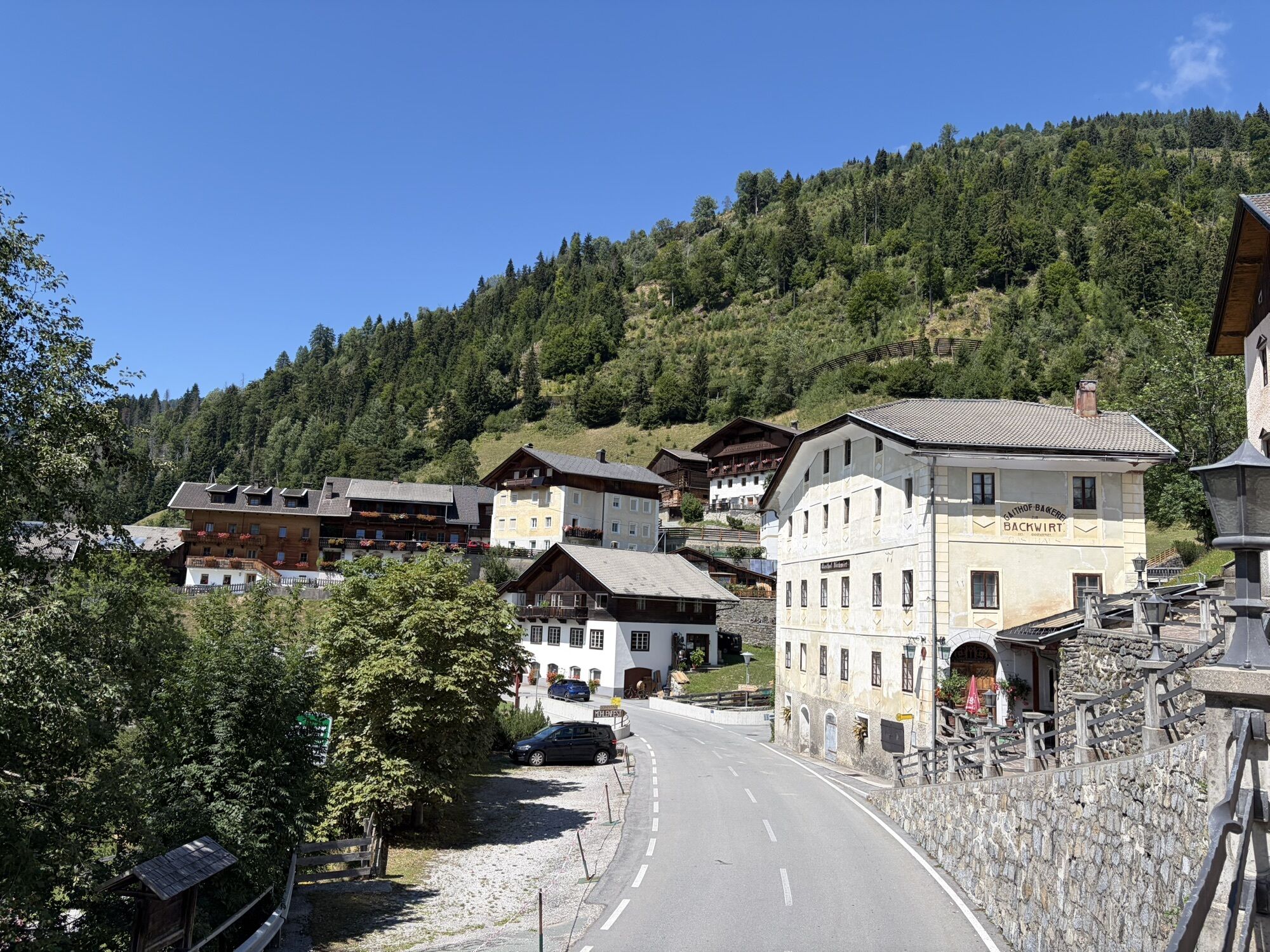
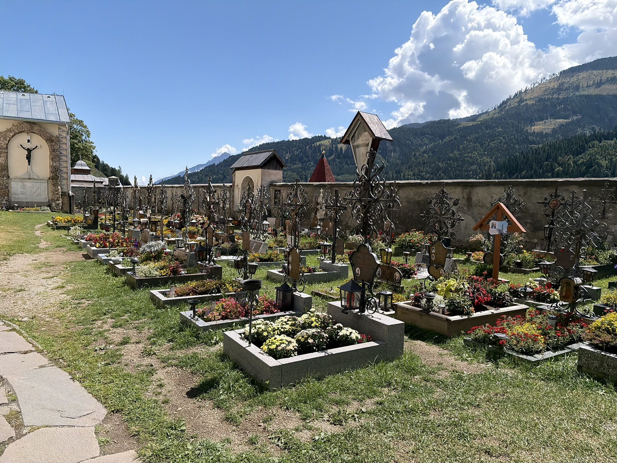
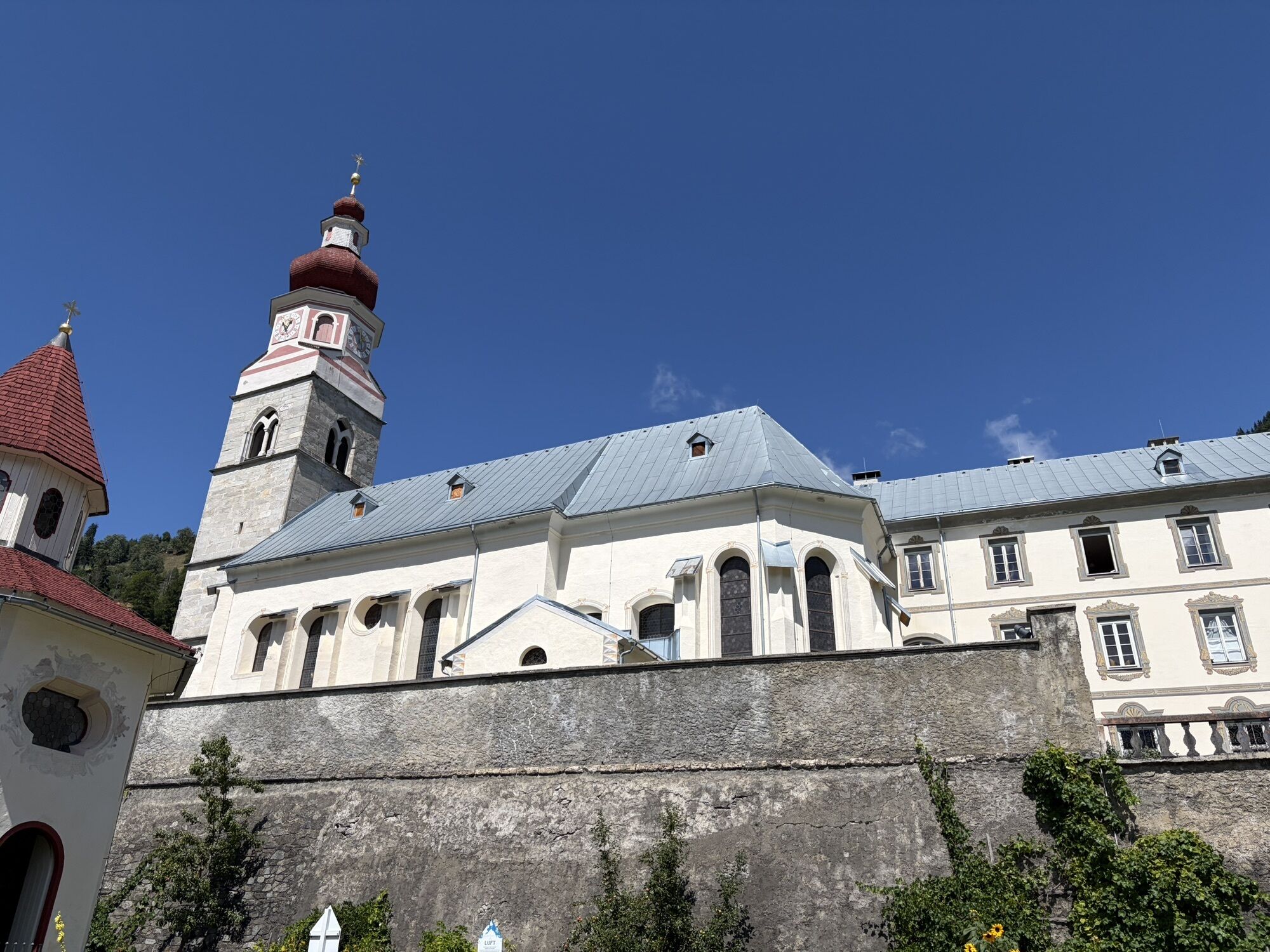
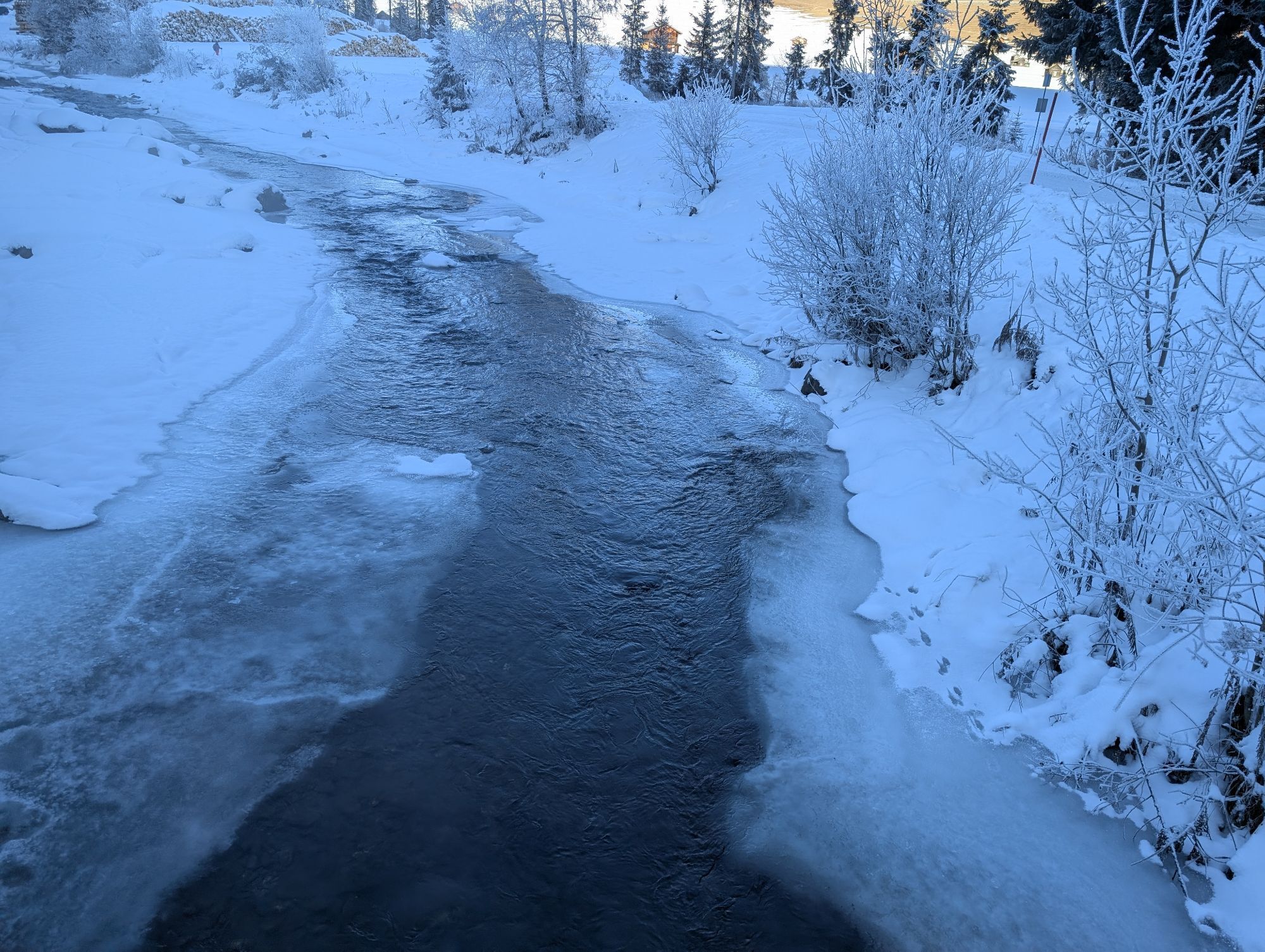
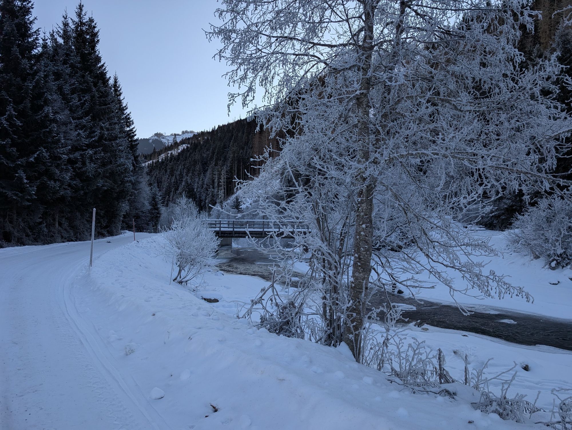
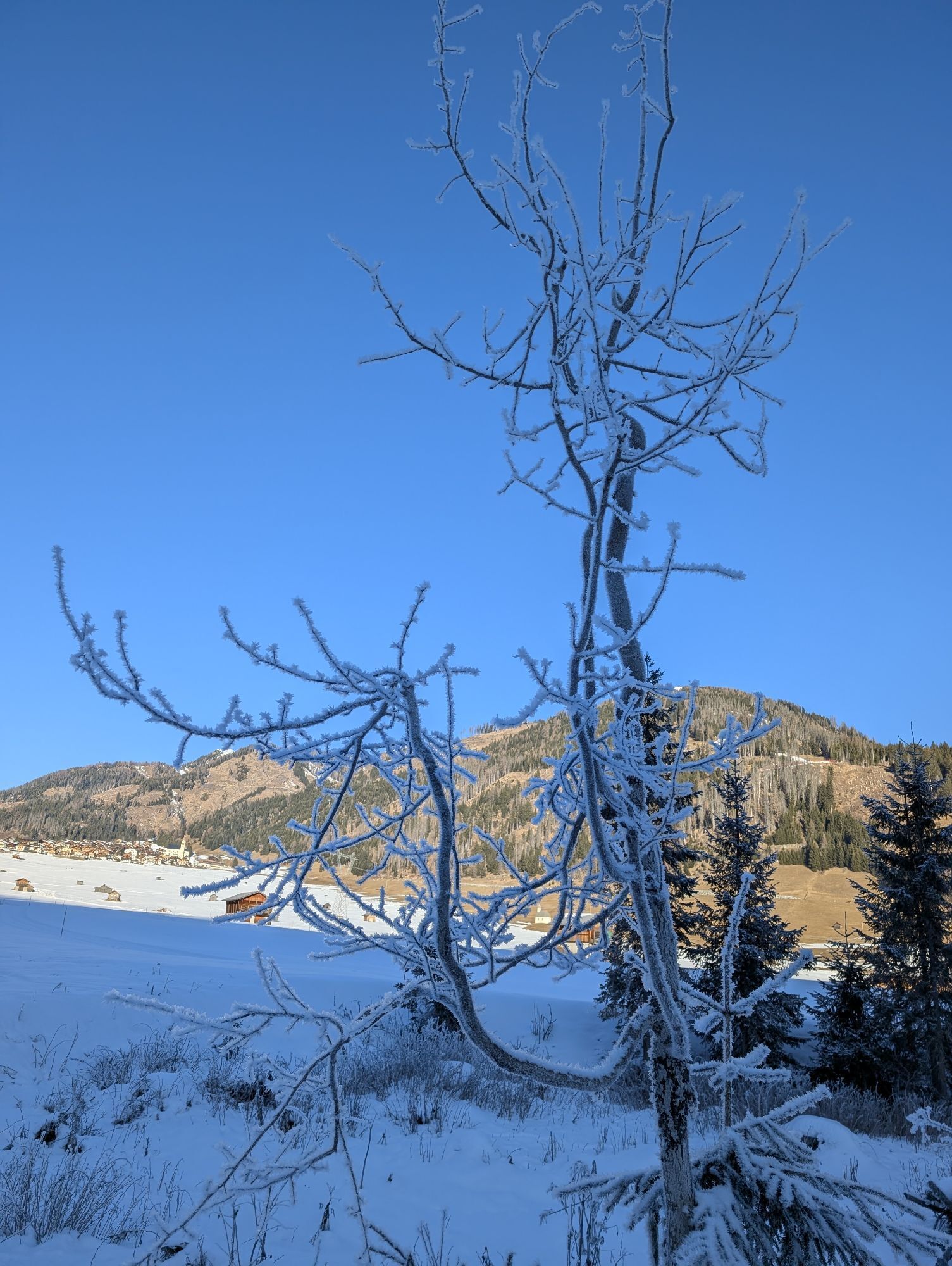


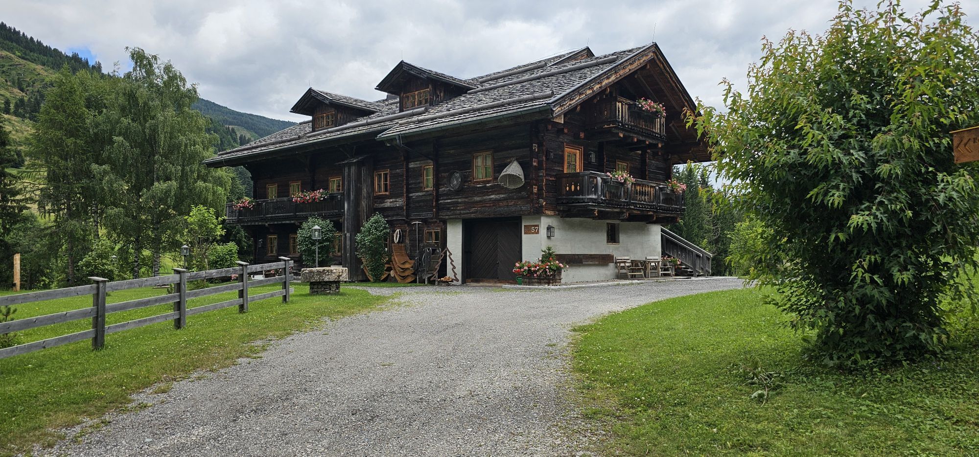
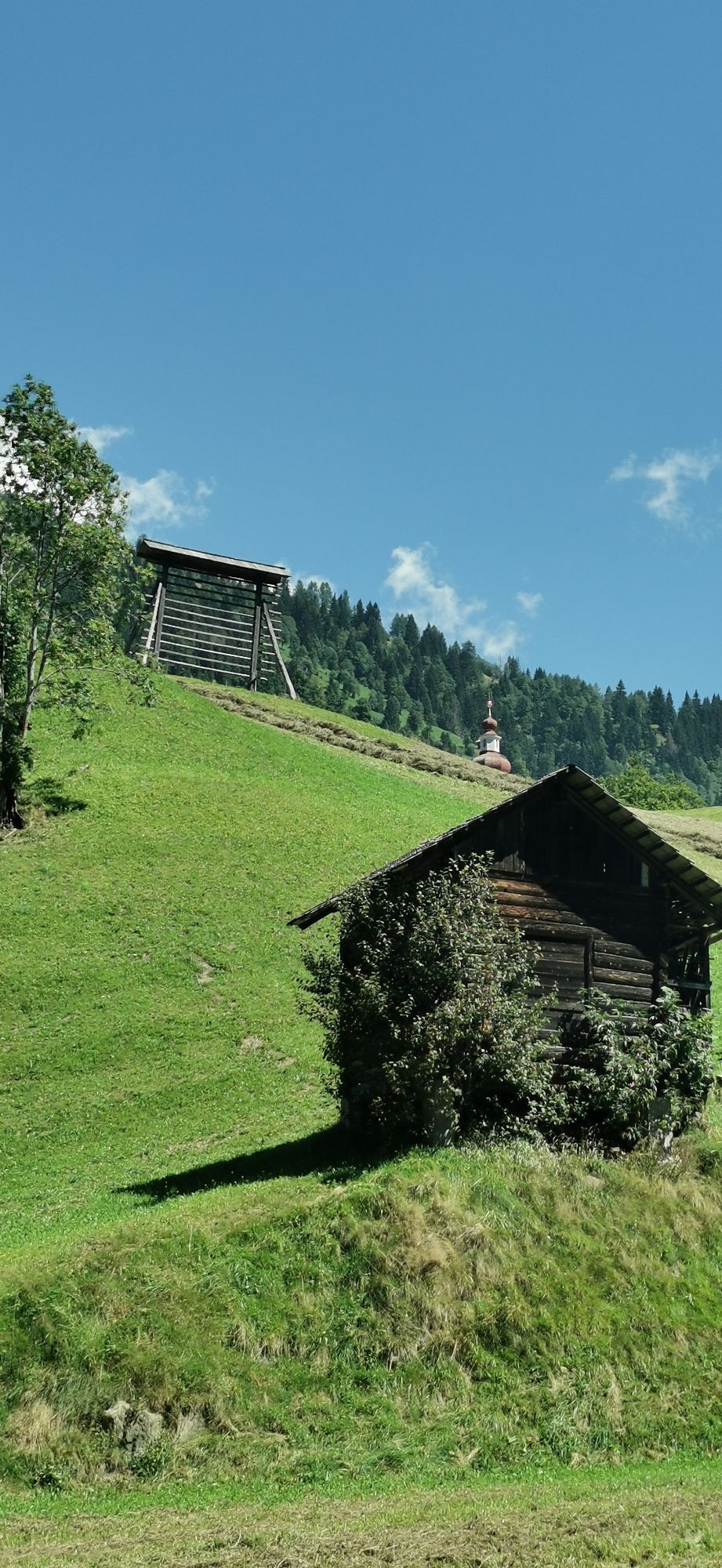
This hike starts at the Bäckwirt in Maria Luggau (below the basilica) and first leads down to the Gail. At the Rauter bridge, turn right onto the paved road up to the B111. Then follow the B111 past the...
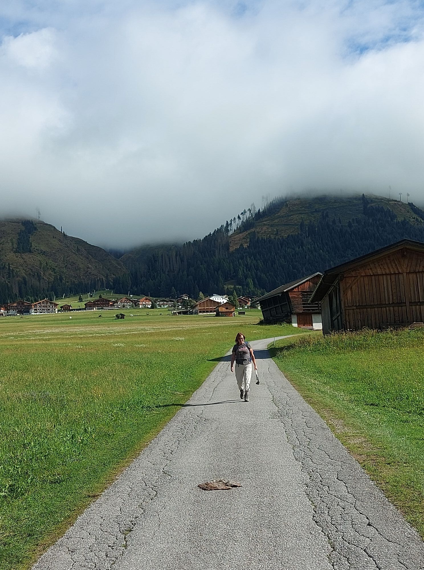
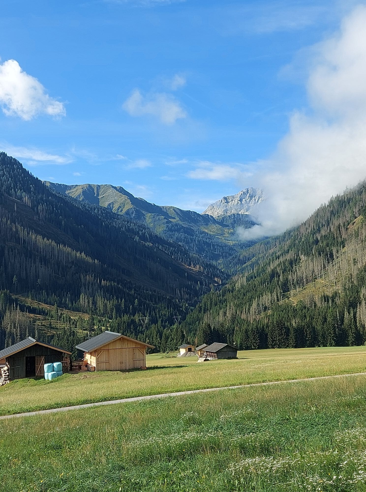
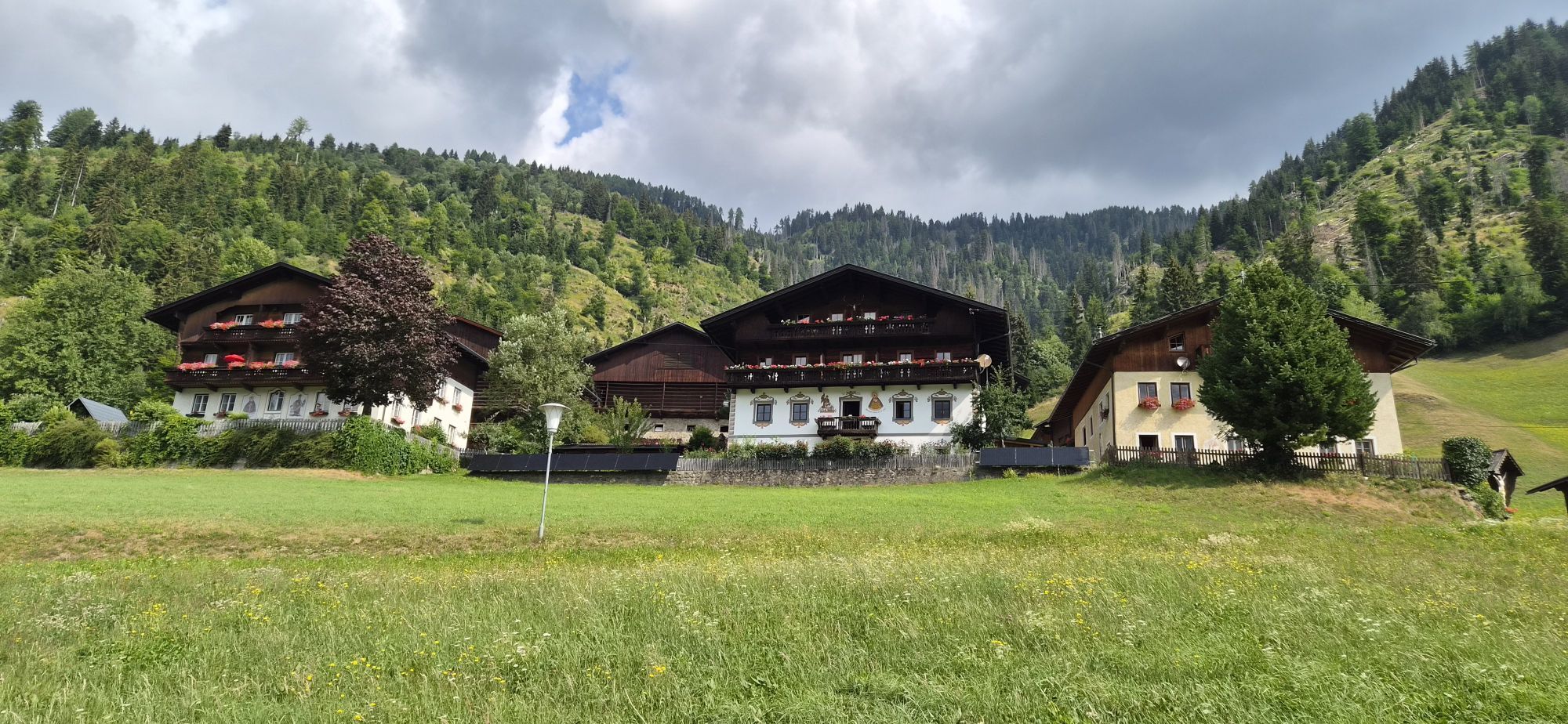
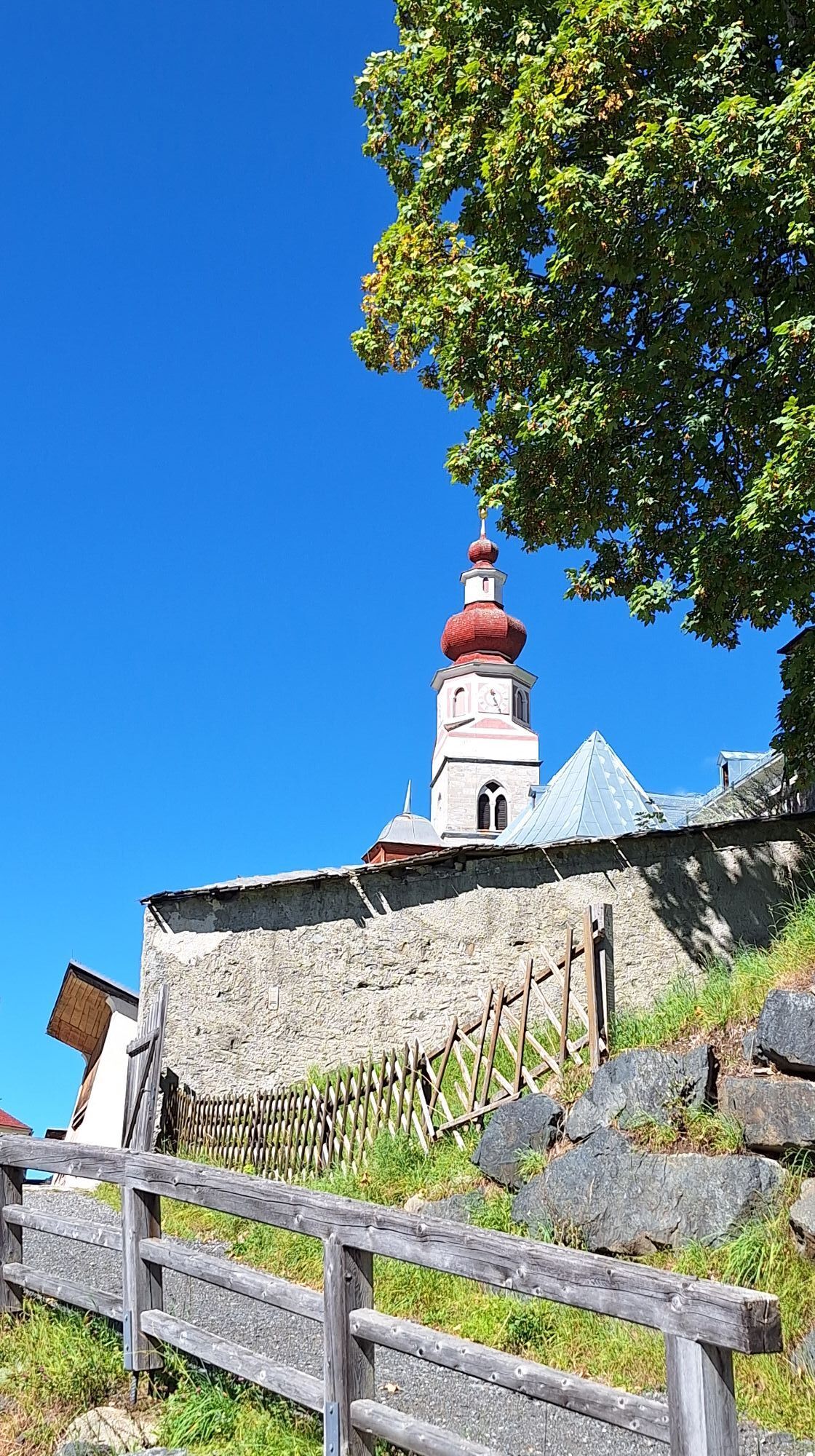
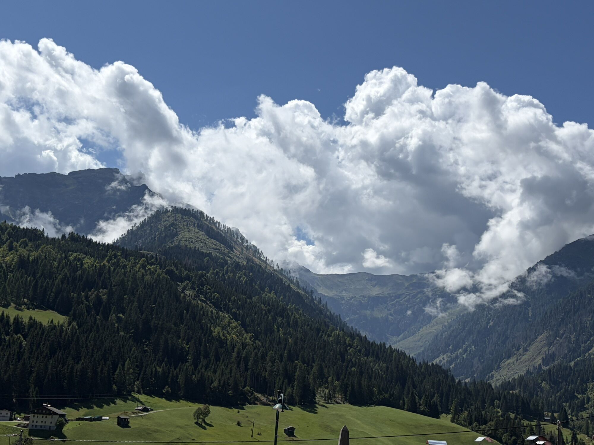
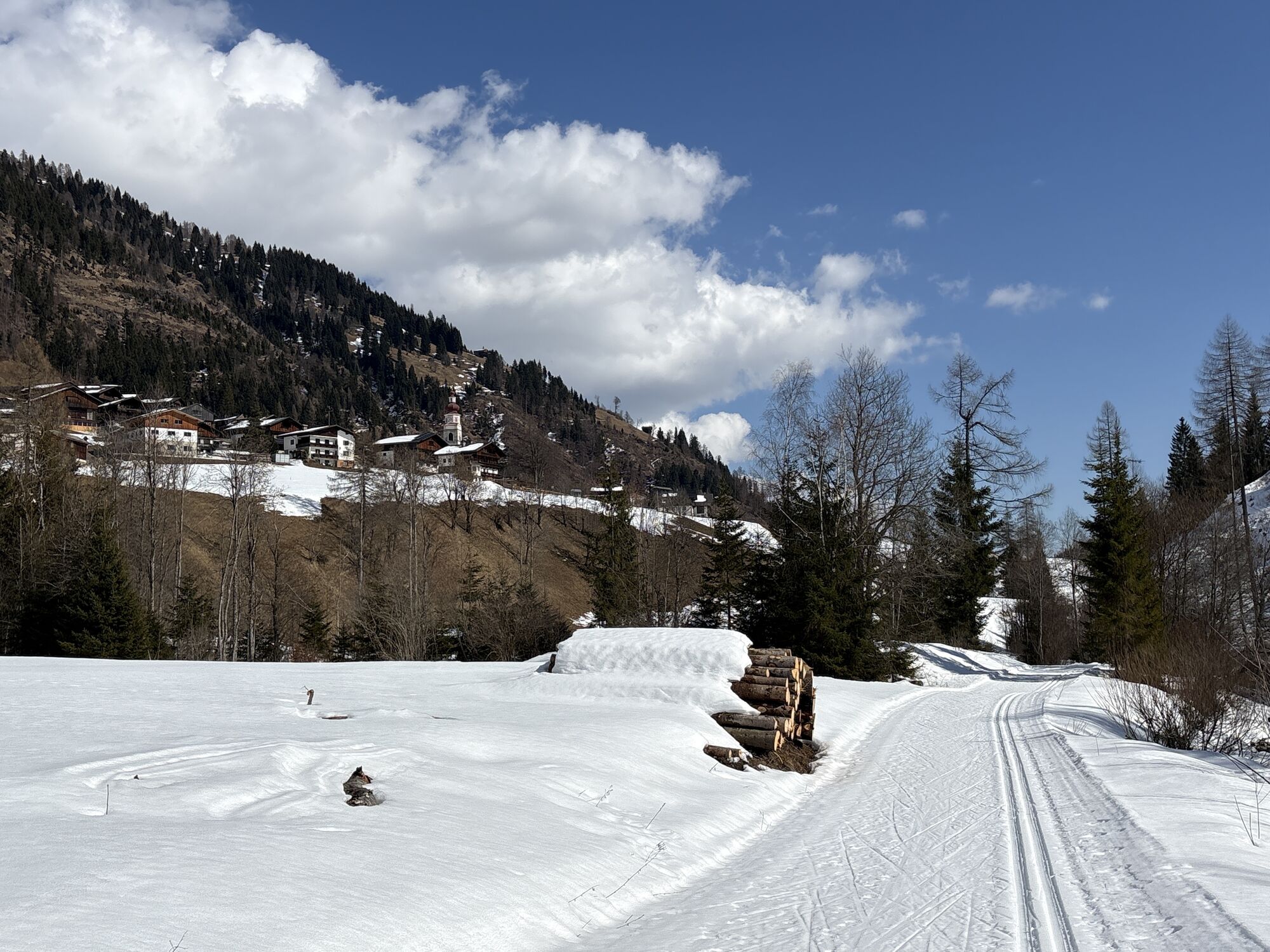
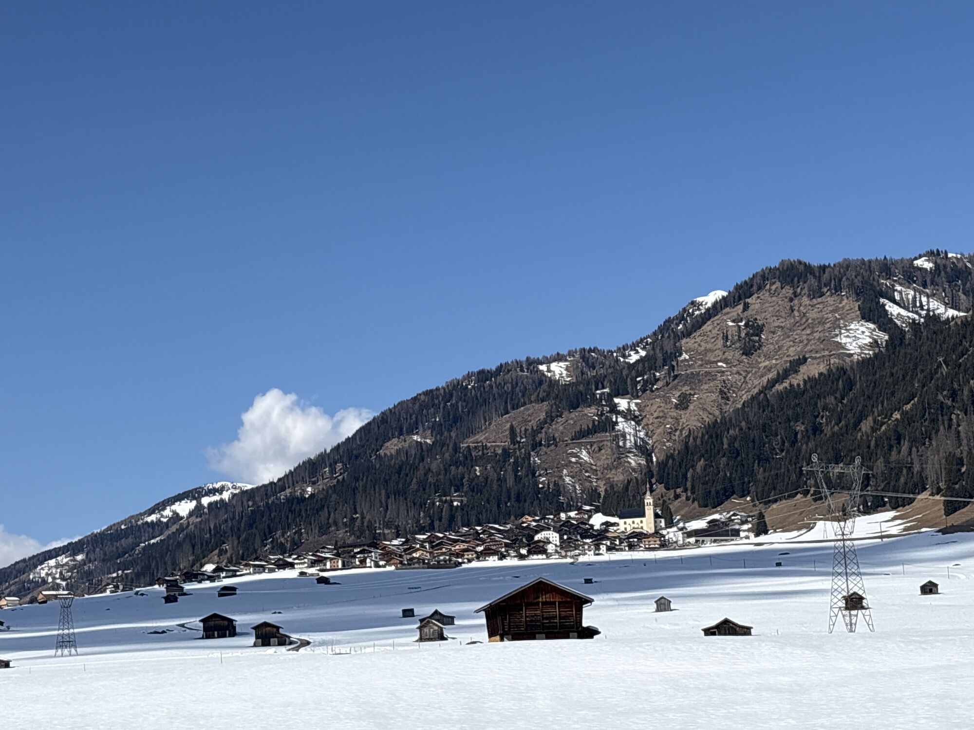
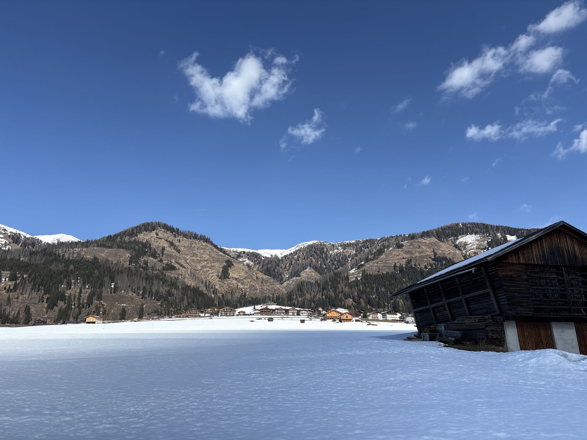
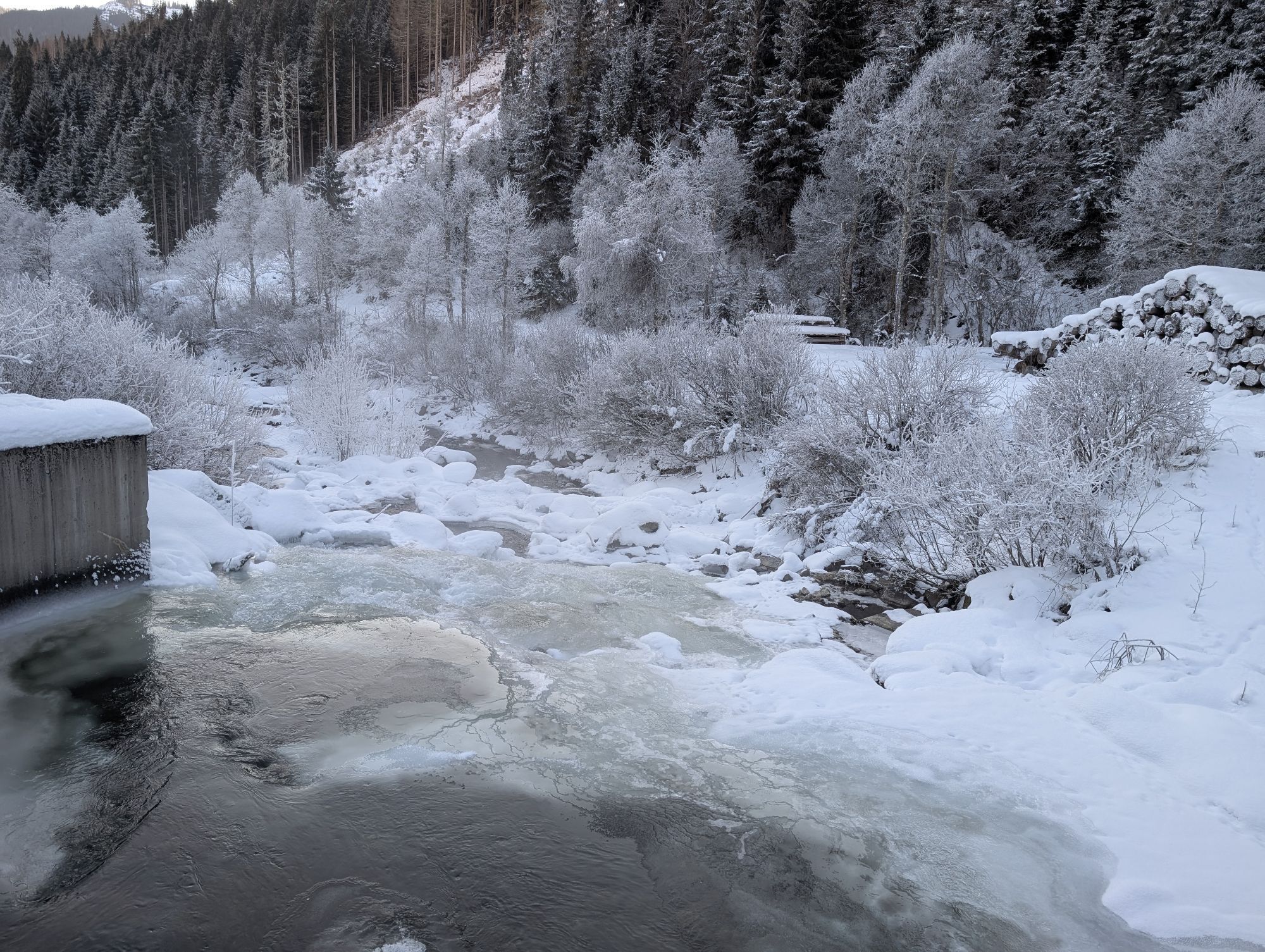
This hike starts at the Bäckwirt in Maria Luggau (below the basilica) and first leads down to the Gail. At the Rauter bridge, turn right onto the paved road up to the B111. Then follow the B111 past the village of Wacht and continue to the end of a long straight section, where we turn left again onto the Gail hiking trail. From there, hike along the idyllic Gail trail westwards until we finally reach the destination, the village of Obertilliach.
Attention: Please inquire about the current trail and weather conditions before each route!

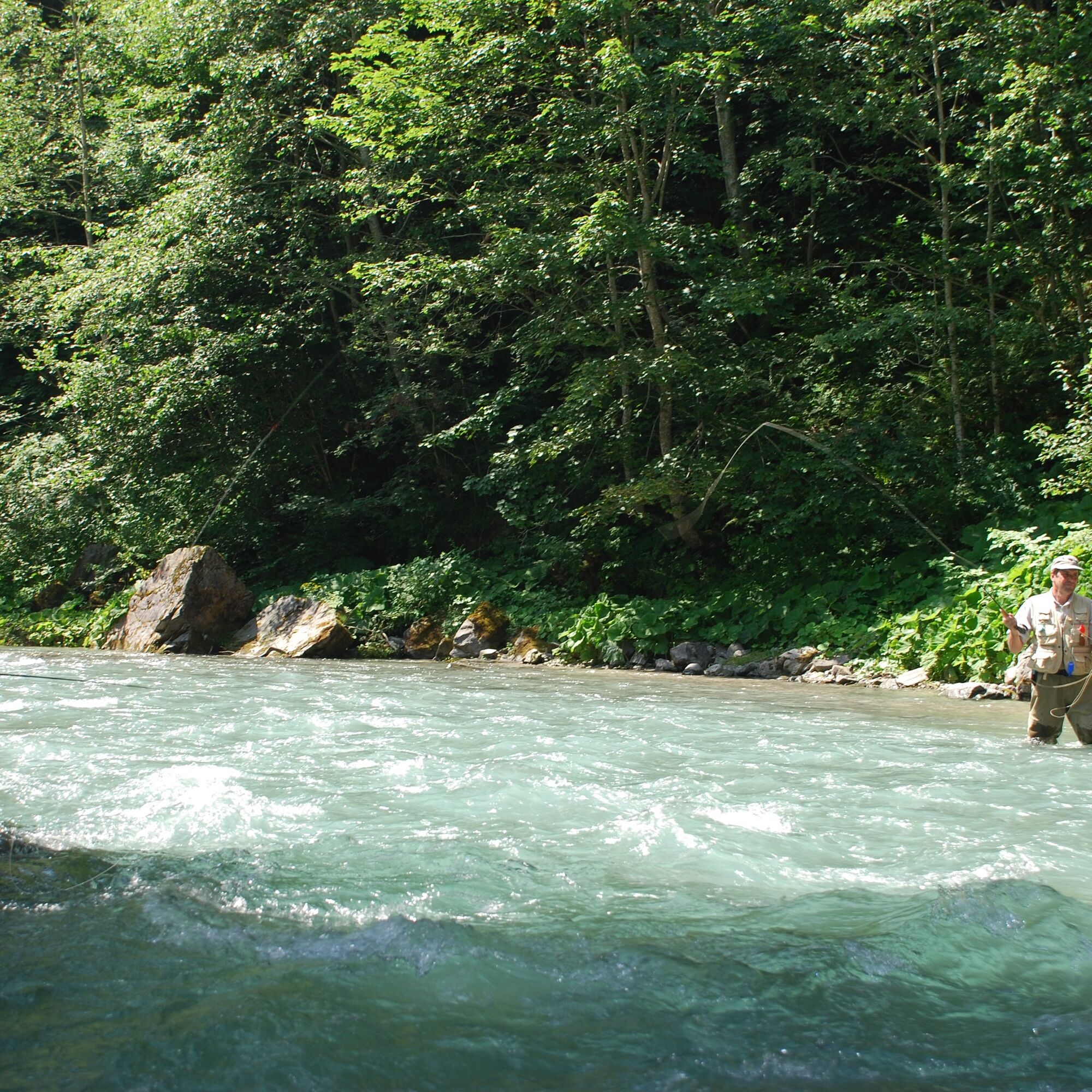


This hike starts at the Bäckwirt in Maria Luggau (below the basilica) and first leads down to the Gail. At the Rauter bridge, turn right onto the paved road up to the B111. Then follow the B111 past the village of Wacht and continue to the end of a long straight section, where we turn left again onto the Gail hiking trail. From there, hike along the idyllic Gail trail westwards until we finally reach the destination, the village of Obertilliach.
Attention: Please inquire about the current trail and weather conditions before each route!
Ano
Check the current trail conditions or any trail closures before the route.
Either via Kötschach-Mauthen or via Tassenbach (Sillian) into the Lesachtal to Maria Luggau
several bus stops in Maria Luggau - Obertilliach
town center in Maria Luggau
Beautiful hike in 2 federal states

Webové kamery z prohlídky
Získejte přehled
Vždy živě na místě s více než 9 500 webkamerami. bergfex Jako uživatel Pro si nyní můžete zobrazit odpovídající webové kamery pro mnoho prohlídek v aplikaci prohlídky z. Můžete si tak přímo prohlédnout aktuální podmínky.
Oblíbené prohlídky v okolí
-
4.7
Karlsbader Hütte über Rudl-Eller-Weg
heavyTuristika 5.10 km -
4.5
Karnischer Höhenweg – Etappe 4: Hochweißsteinhaus – Wolayersee Hütte
heavydálková pěší trasa 15.9 km -
4.8
Lienzer Dolomiten-Lasertörl
středníTuristika 13.2 km -
4.5
Kartitsch-Obstansersee Hütte
středníTuristika 13.1 km -
4.7
Karlsbader Hütte
středníMountainbike 13.4 km -
4.5
Obergail - Obergailer Alm - Obergailer Lake - Enderberg hut - Source for Health & Peace - Madonna circular hiking route - Obergail
středníTuristika 11.4 km -
4.8
Klammbrückl - Kerschbaumeralm - Spitzkofel
heavyTuristika 8.71 km -
4.4
Connyalm (2.070 m)
Turistika 6.36 km -
4.0
Karlsbader Hütte - Lienzer Dolomiten
Turistika 8 km -
5.0
Porzehütte (1.942 m)
světloTuristika 9.01 km

Pěší turistika a stopování


Nenechte si ujít nabídky a inspiraci pro vaši příští dovolenou
Vaše e-mailová adresa byl přidán do poštovního seznamu.





