



Hike Two-Country Route: Aineck - Branntweiner/Kößlbacher Alm - Katschberg summit

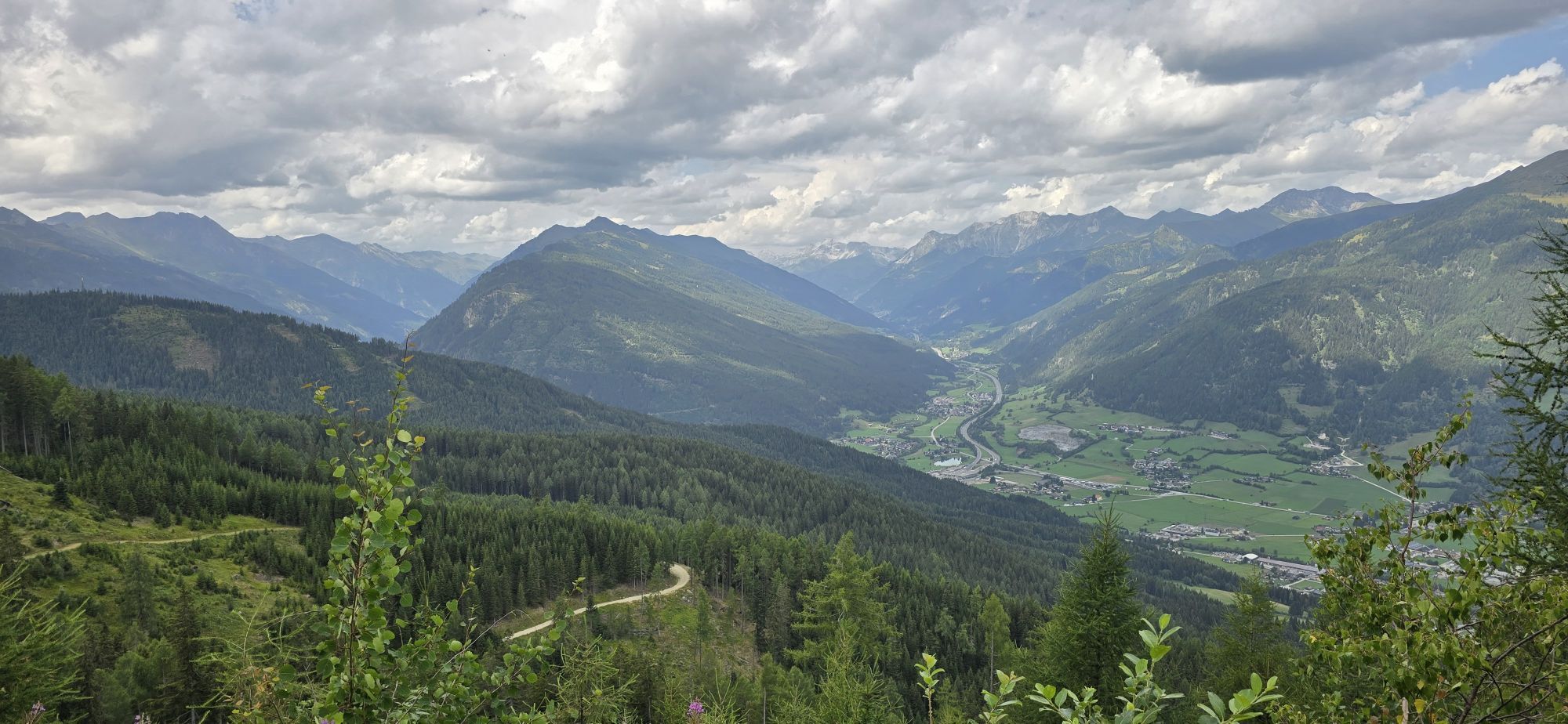
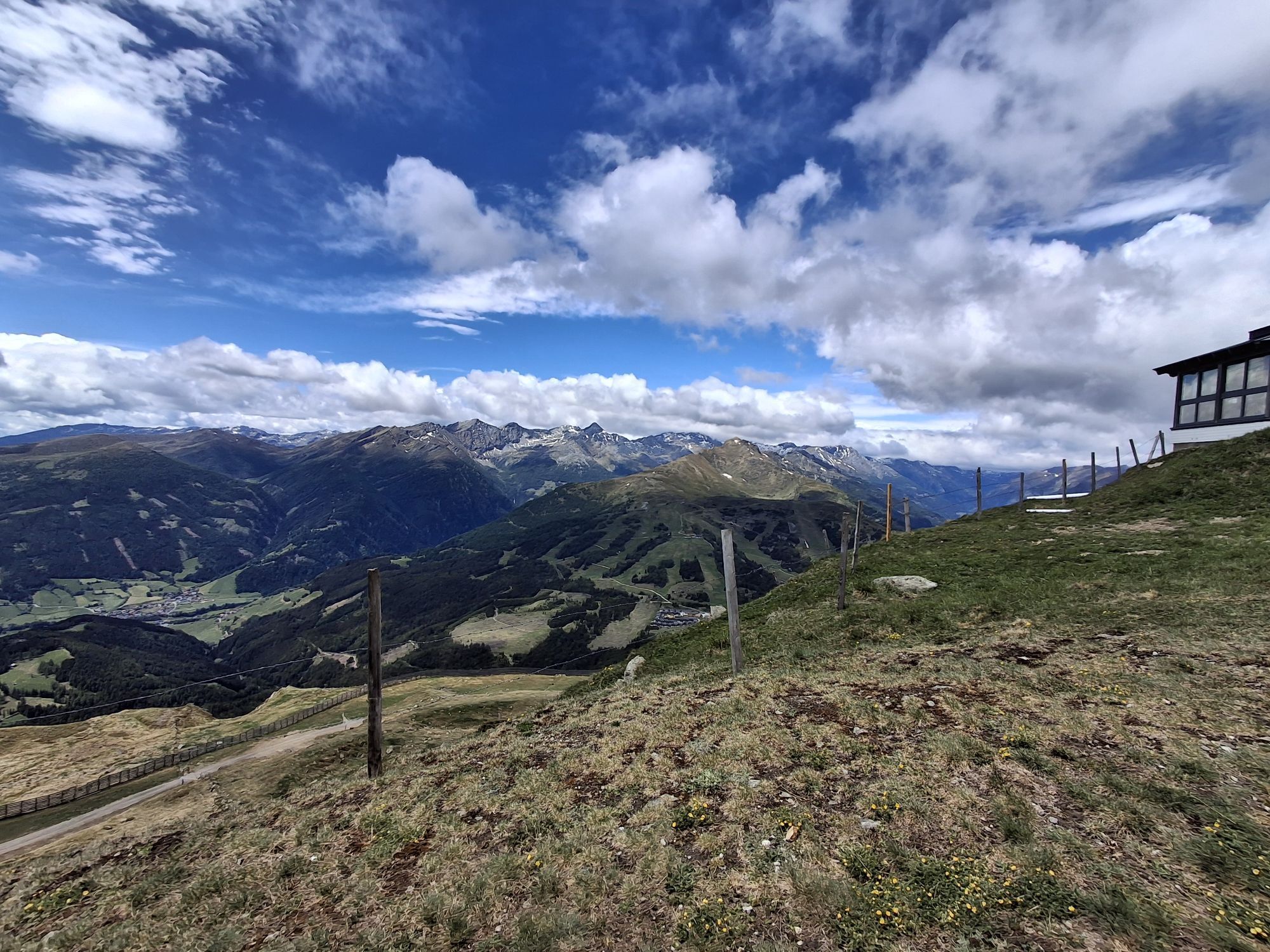
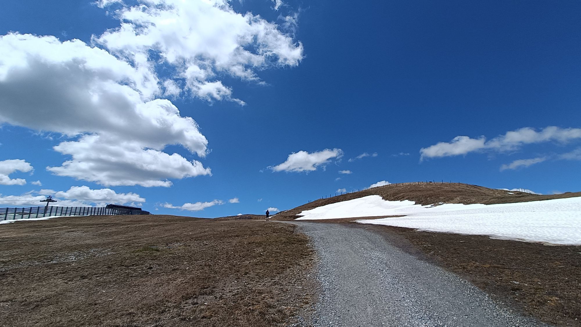
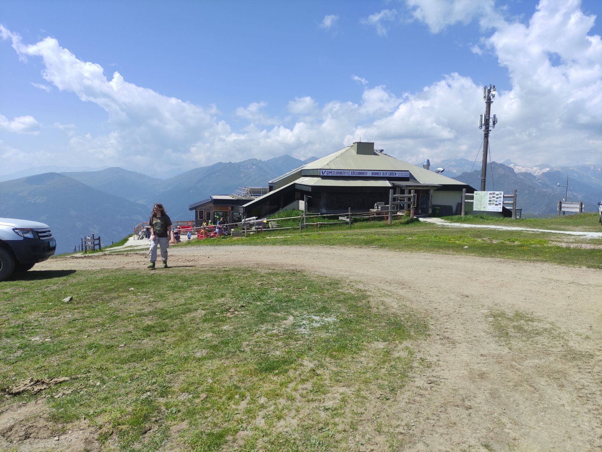
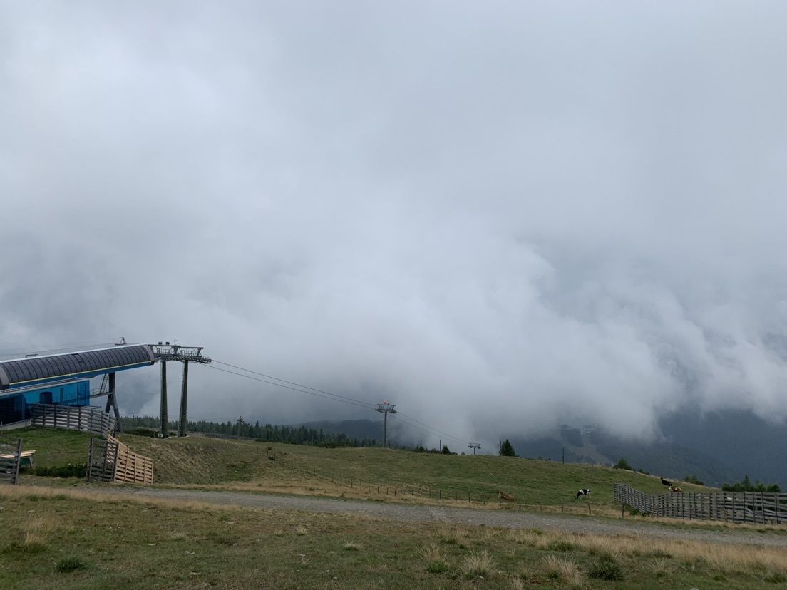
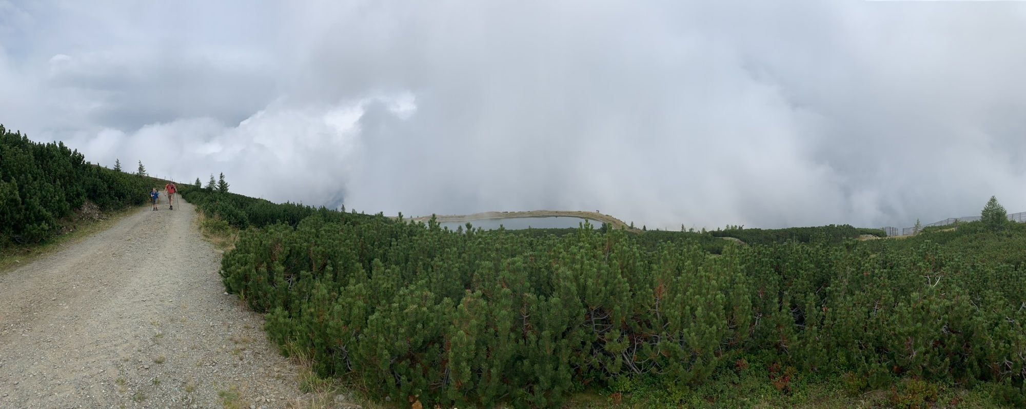
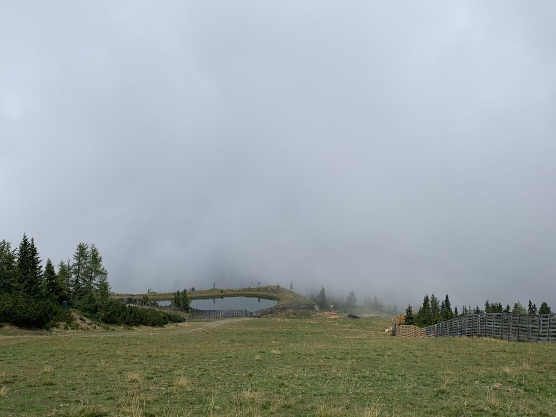
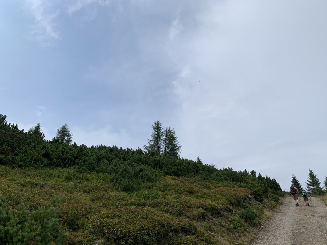
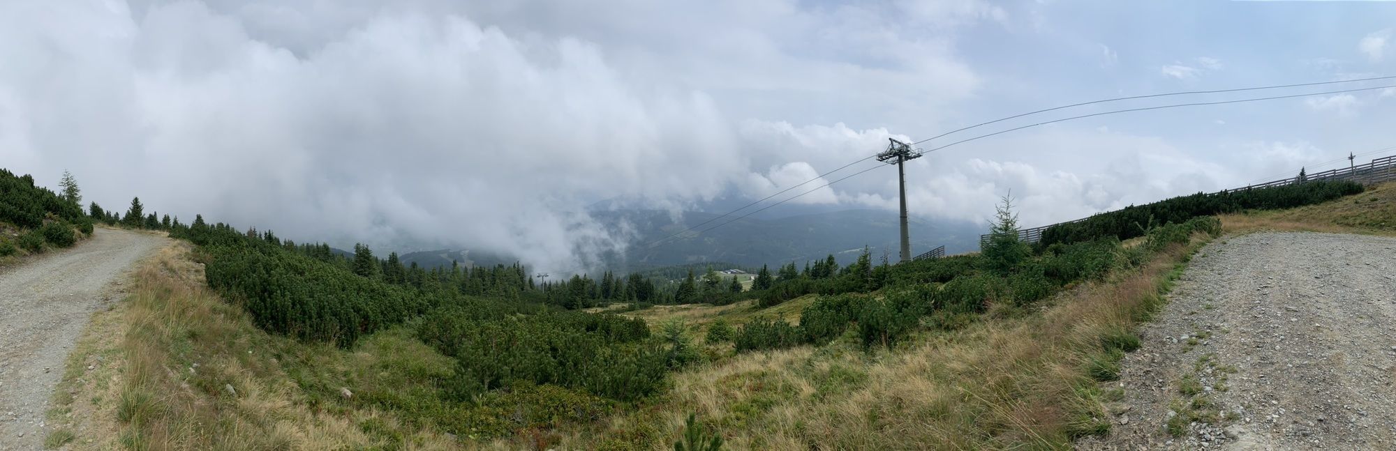
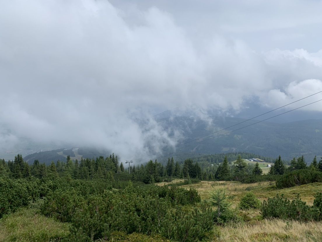
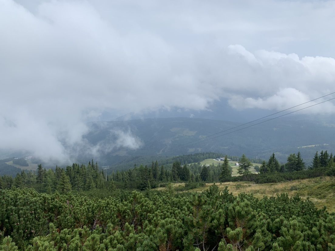
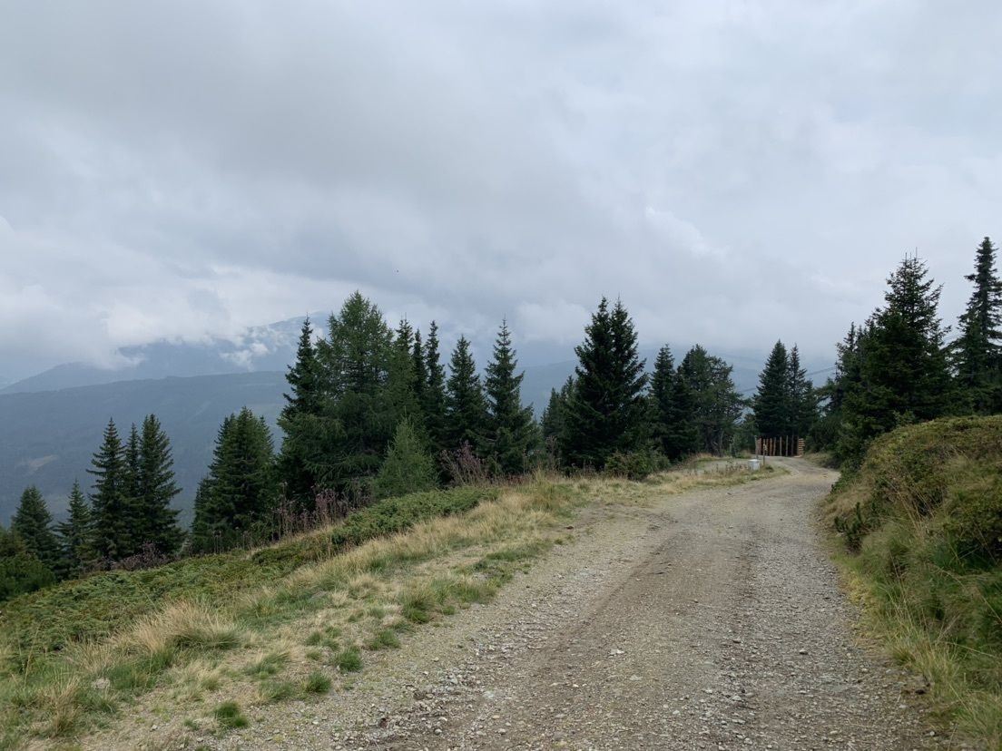
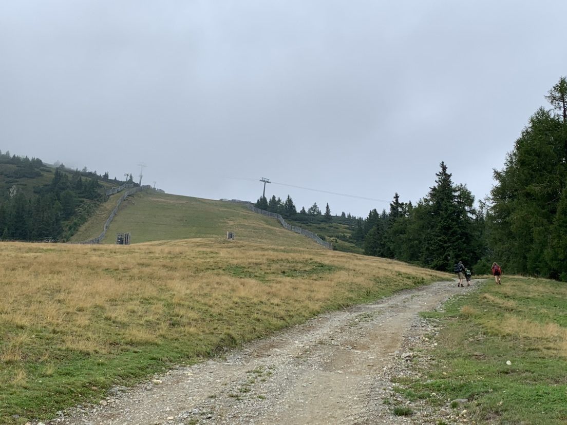
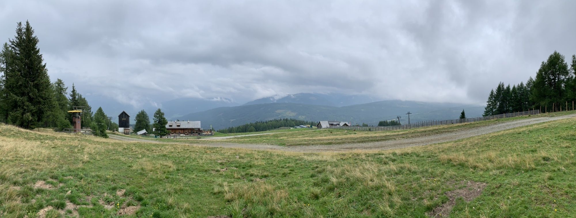
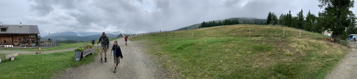


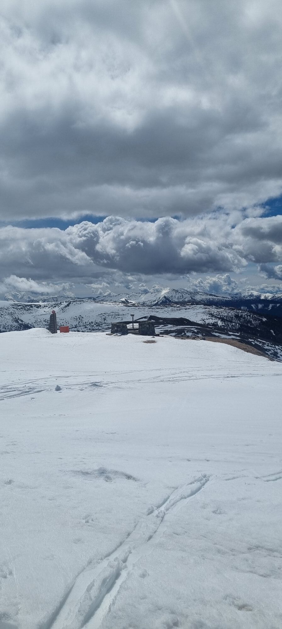
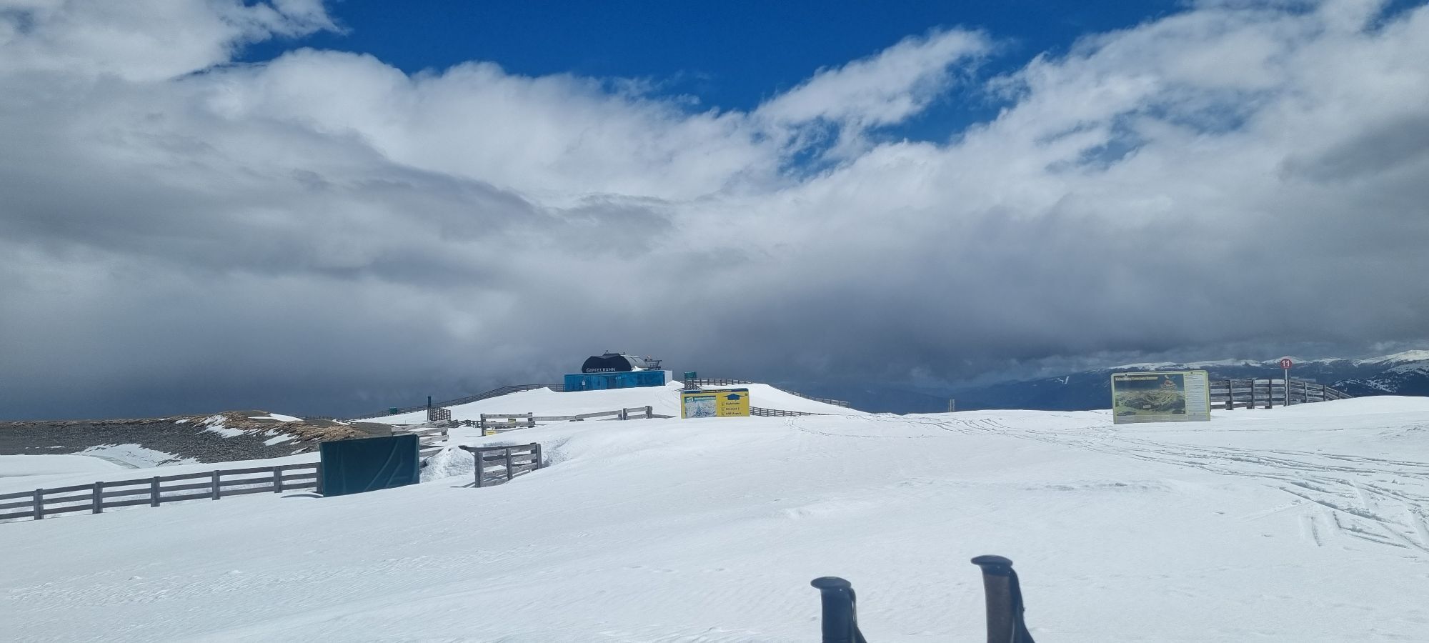

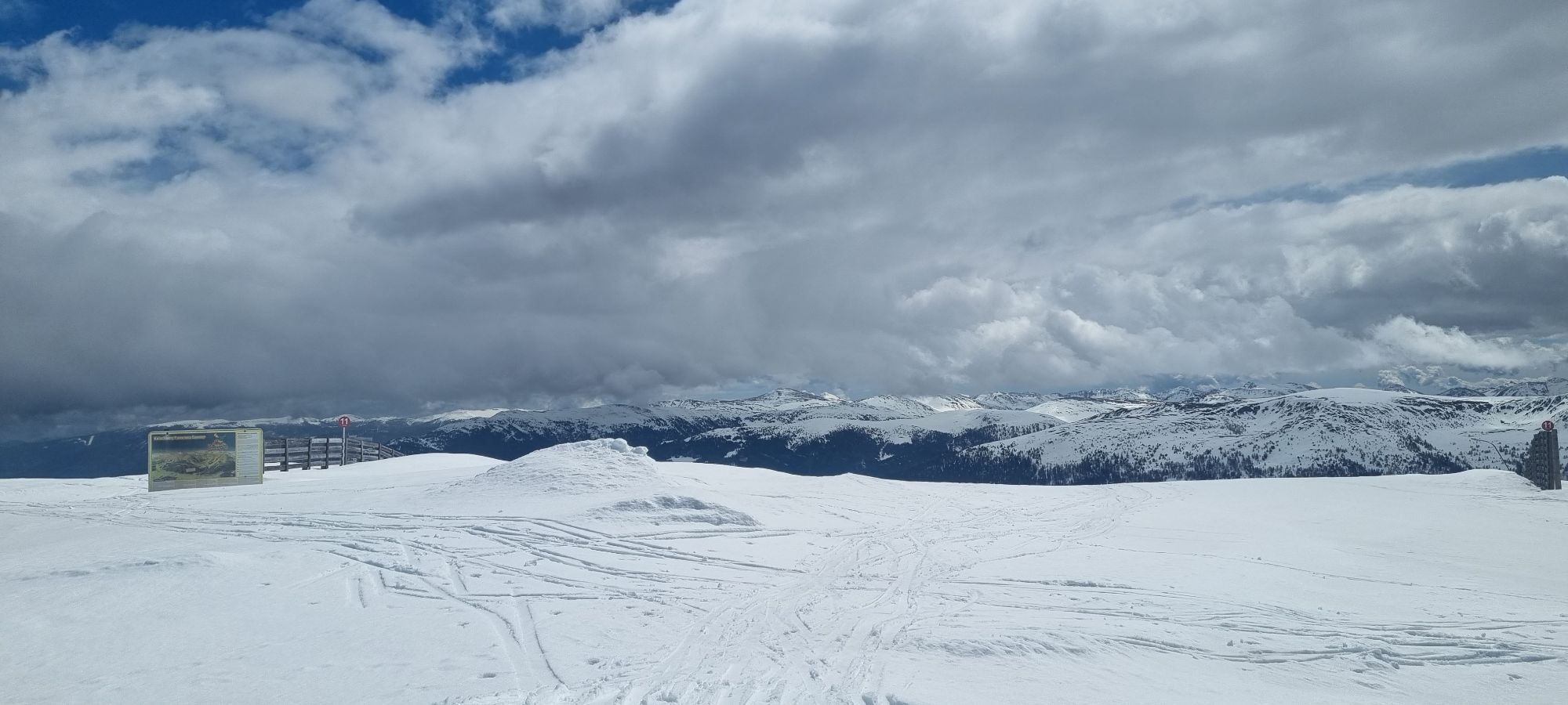
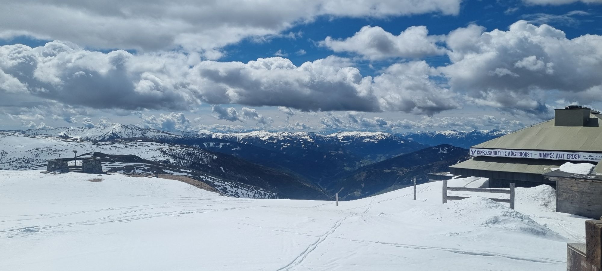
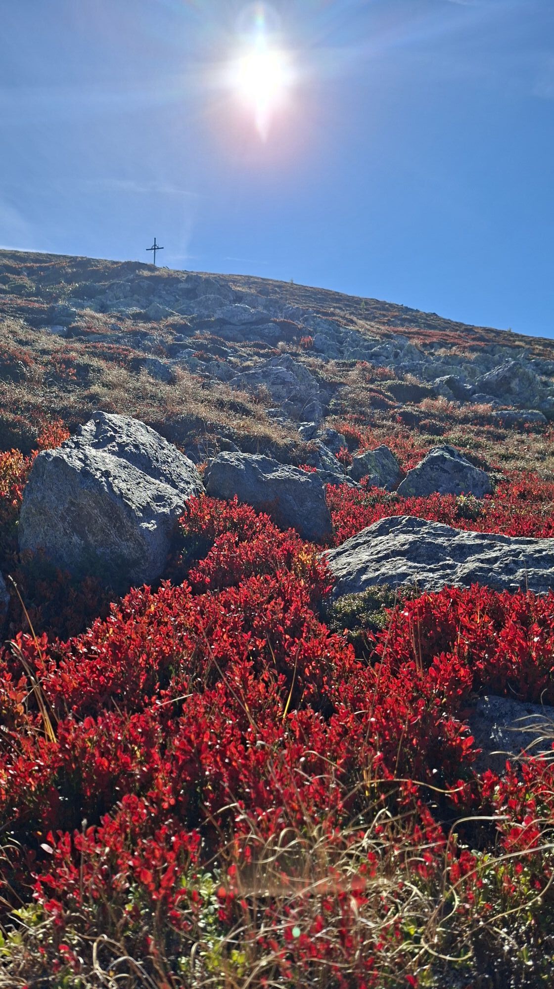
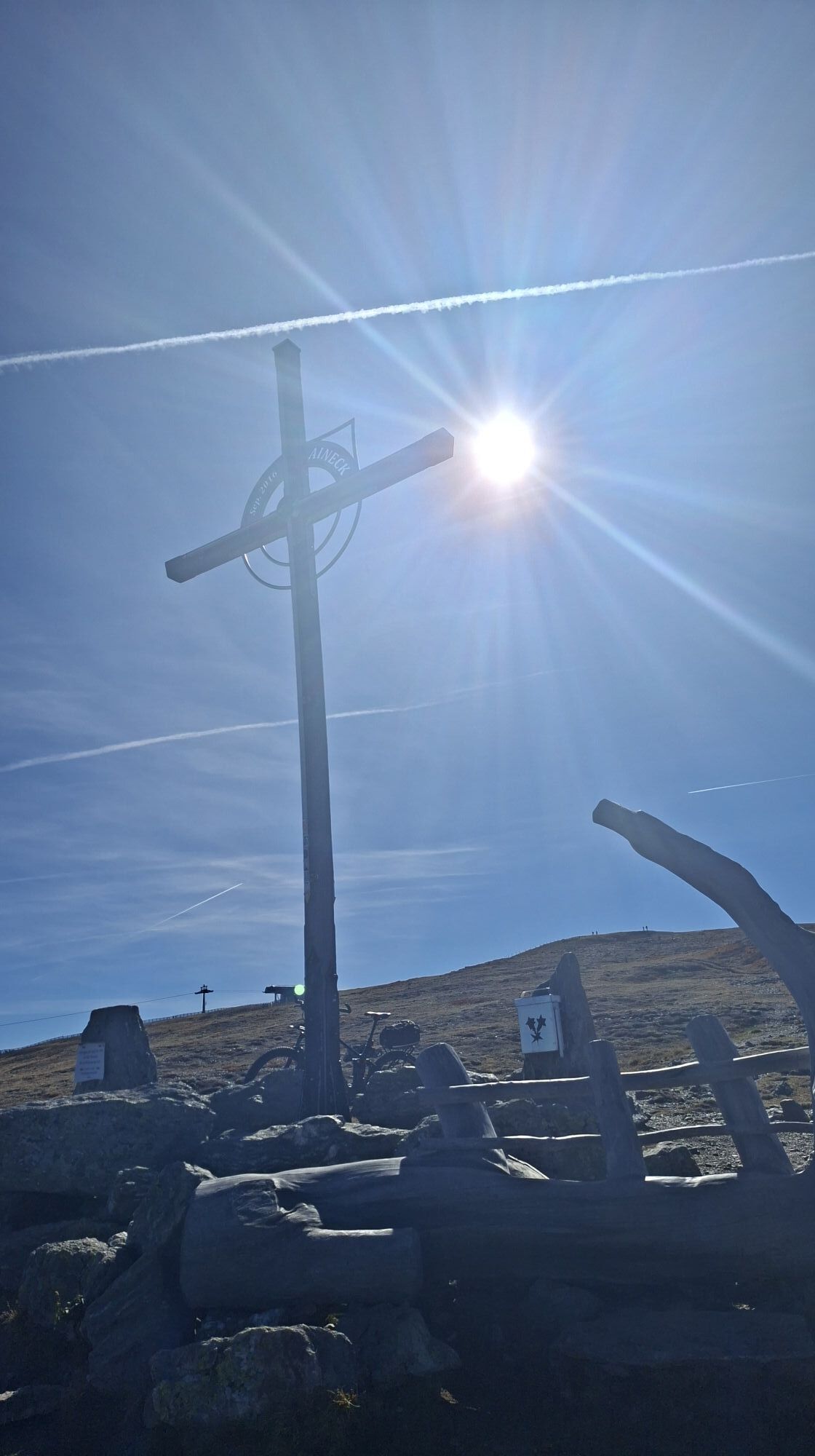
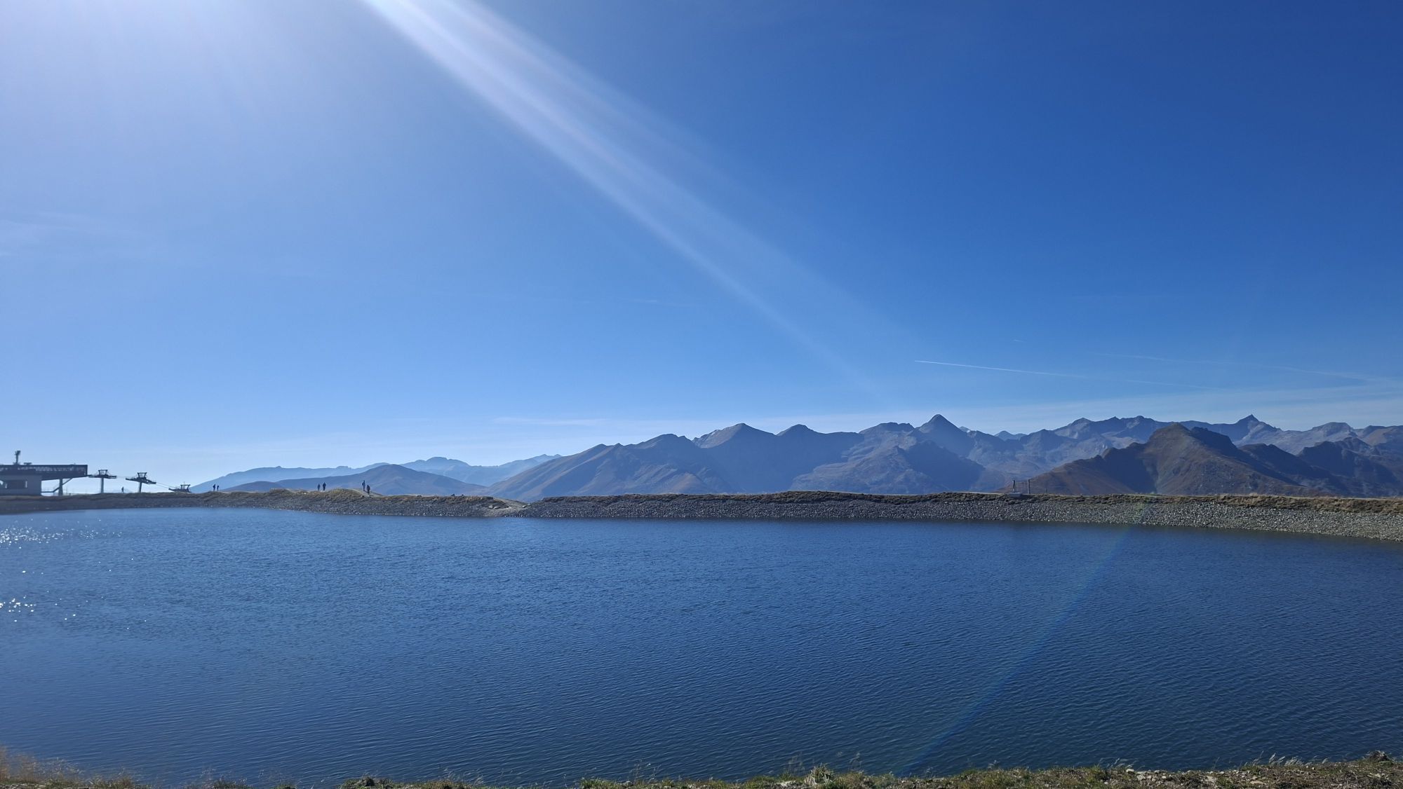
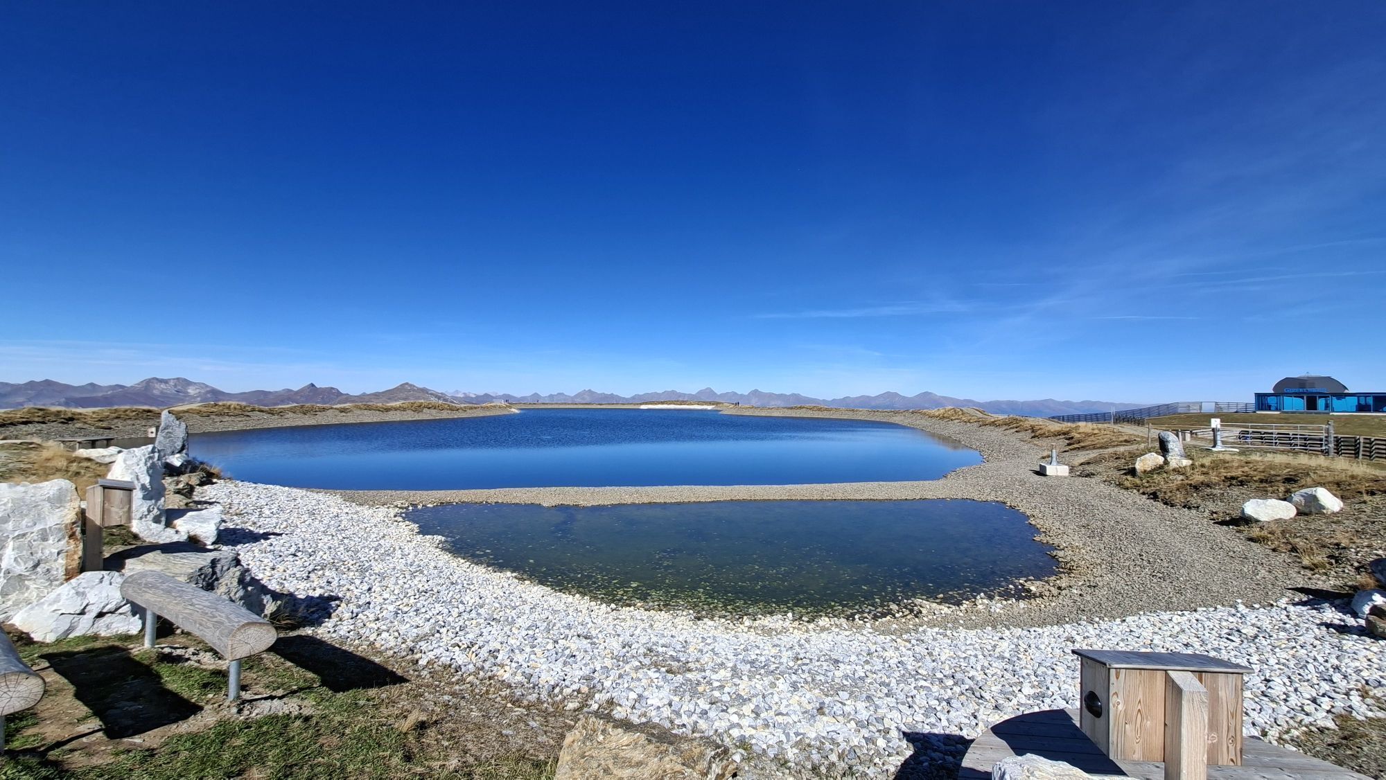
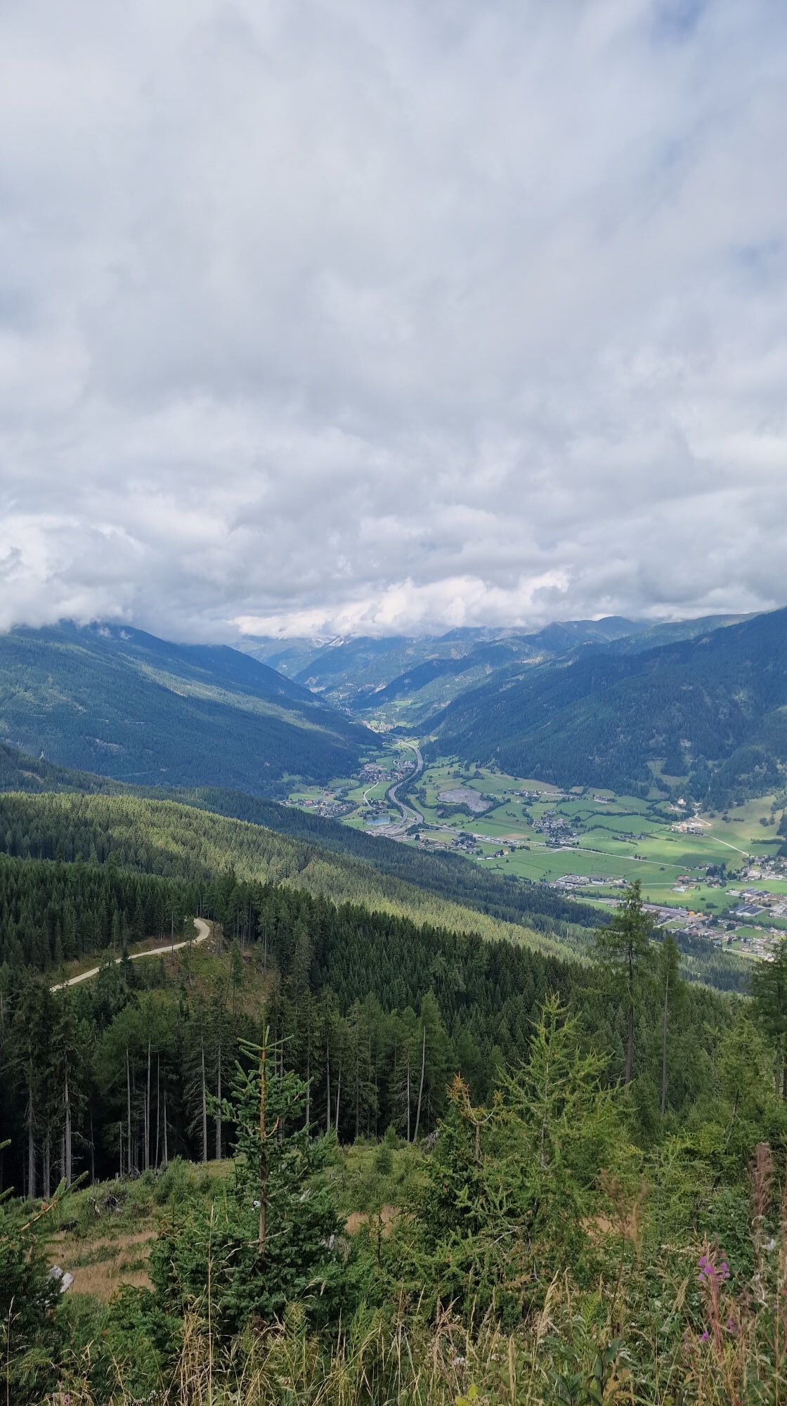
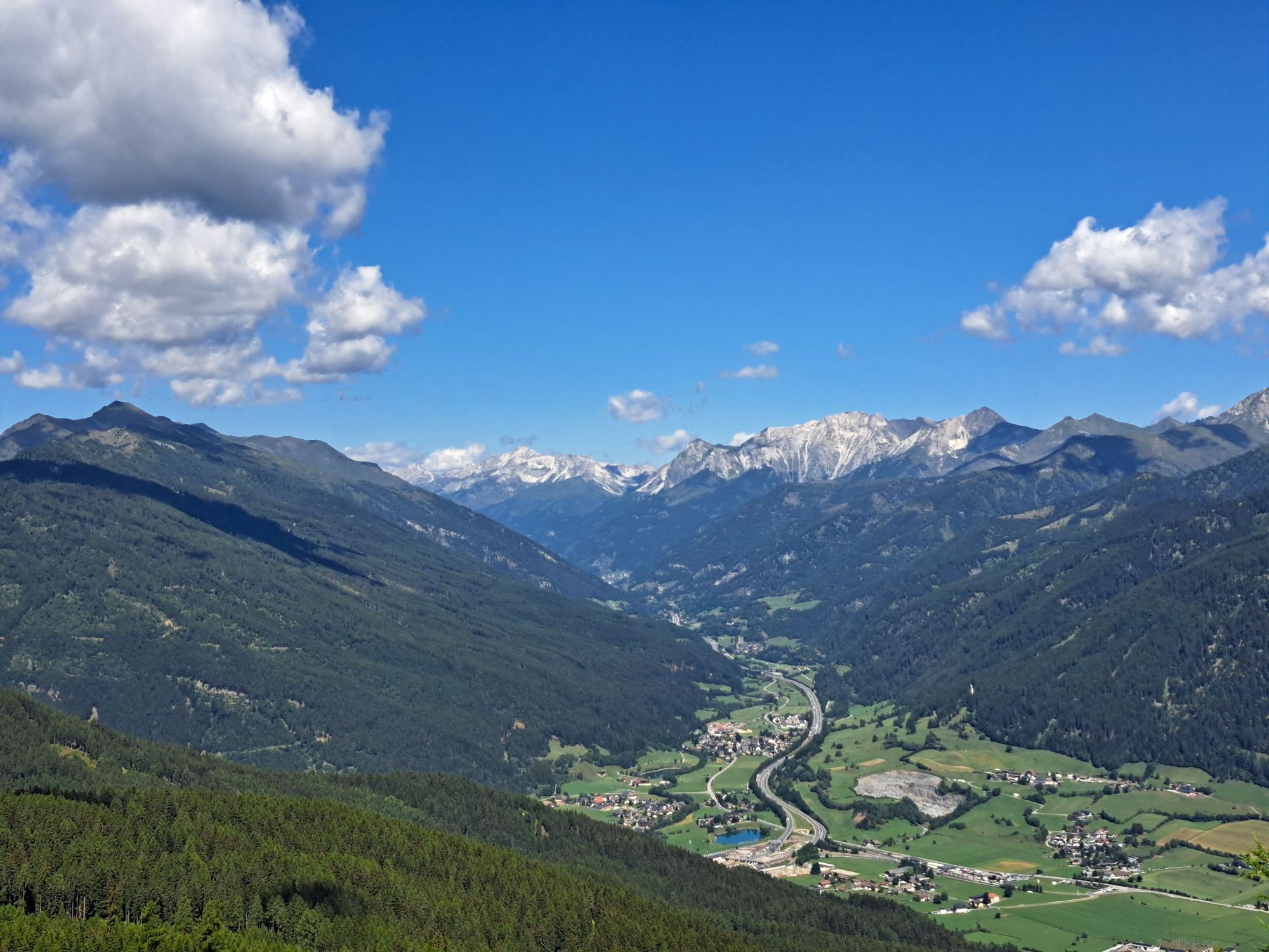


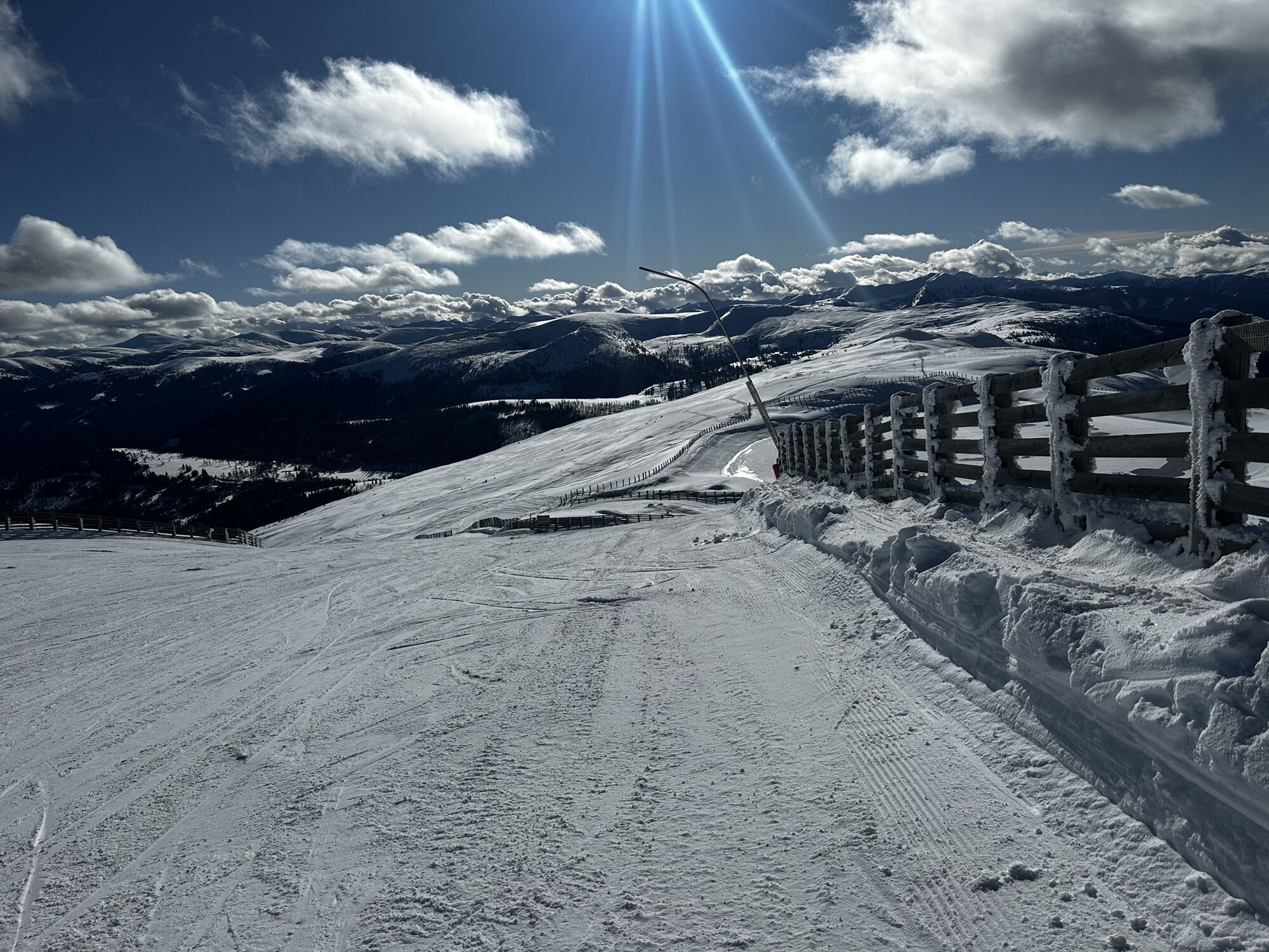

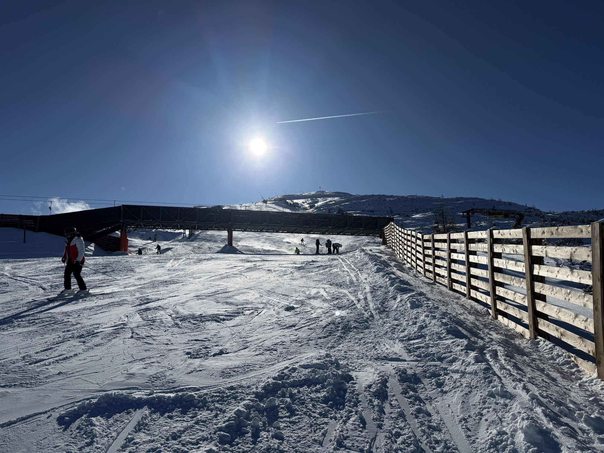
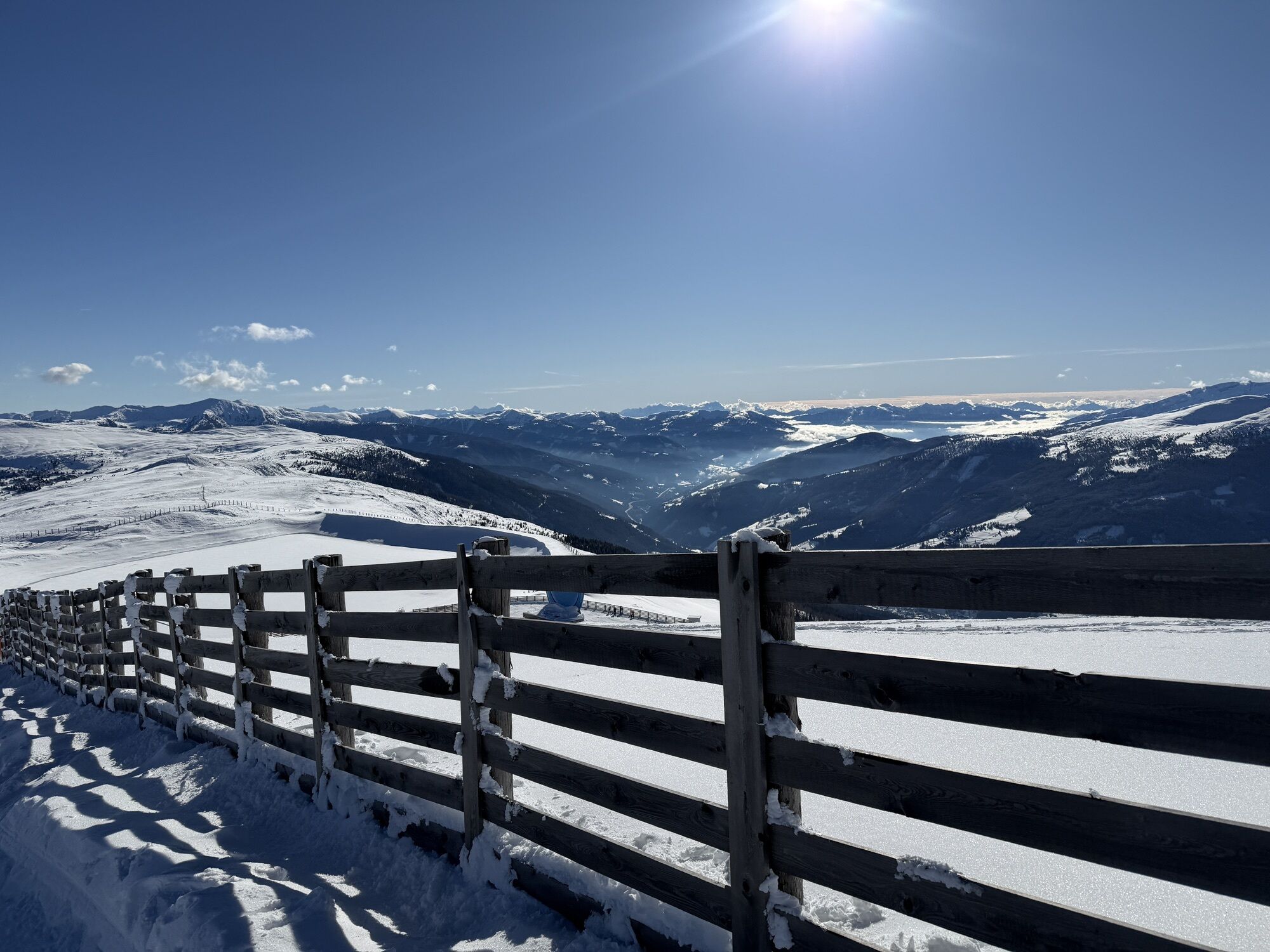
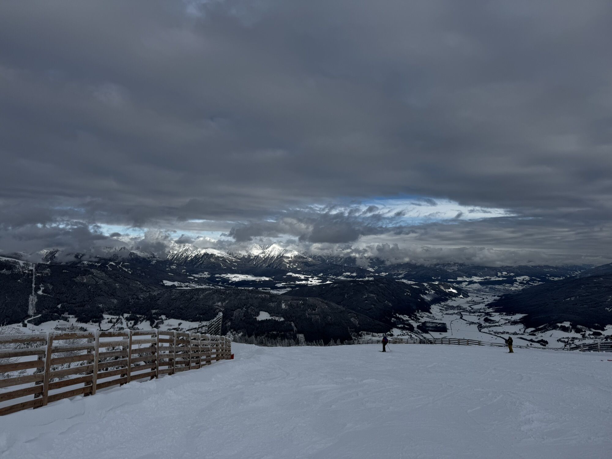

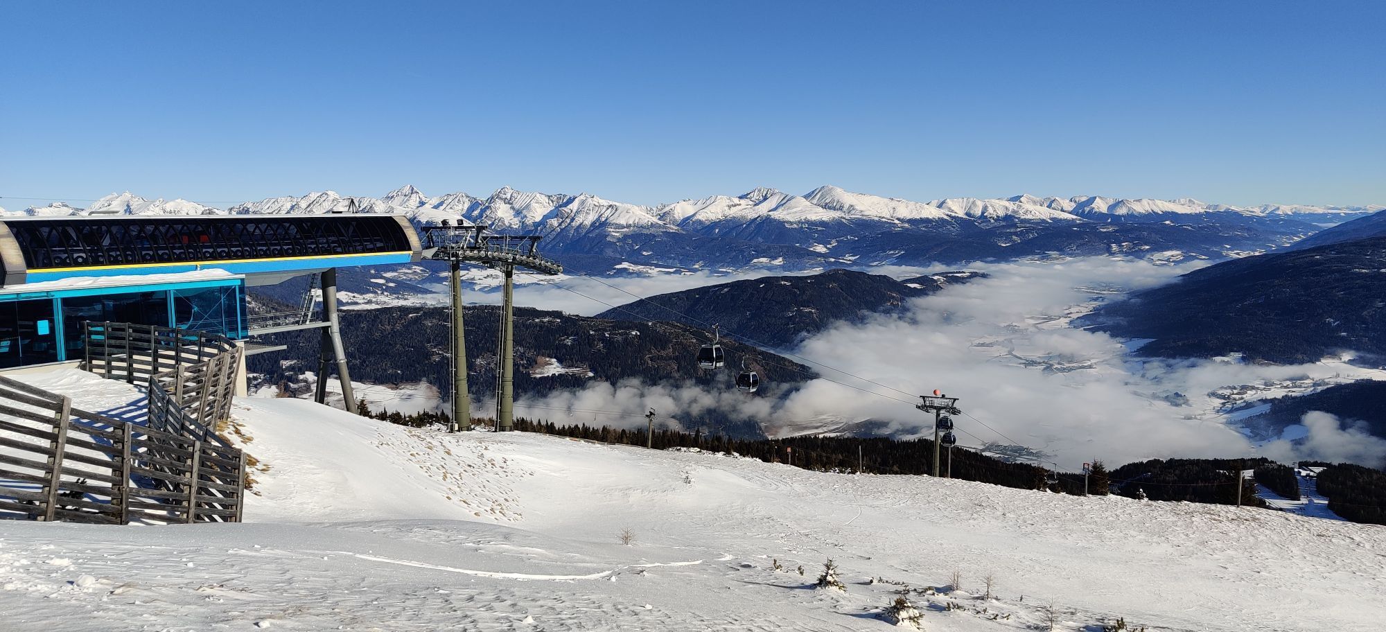
Aineck - Circuit (Path No. 111 C/B/A). Two-country hike starting in Carinthia with a stop in Lungau (Salzburg region) and back to the Carinthian Katschberg summit. WARNING: due to the construction of the...
Aineck - Circuit (Path No. 111 C/B/A). Two-country hike starting in Carinthia with a stop in Lungau (Salzburg region) and back to the Carinthian Katschberg summit. WARNING: due to the construction of the new Aineck cable car, it will be closed in summer 2025!

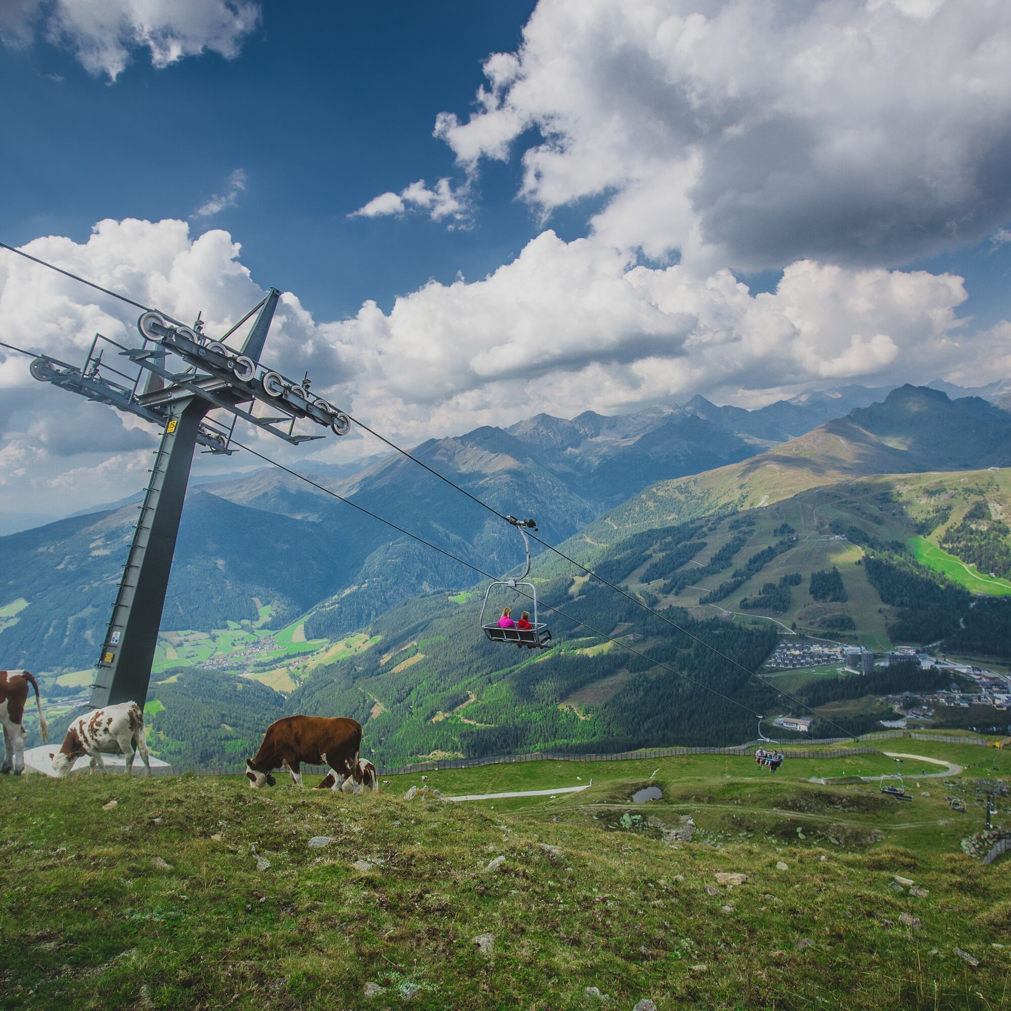

The starting point is the valley station of the Aineck cable car, which you can take up (observe opening times), or you can choose to walk, then path No. 111 is the right one. This path is steep in some sections and leads to the eagle's nest (walking time is extended by 1.5-2 hours without using the cable car). Arriving on foot or by lift at Aineck, we hike down the other side of the mountain via path No. C to the Branntweiner hut or Kößlbacher Alm (both operated). Next, we take path No. B to the junction St. Martin/St. Michael/Katschberg summit. On the forest road, we go left towards Katschberg, path No. A, slightly uphill and downhill, back to the Katschberg summit.
Variant 2: Take the Aineck cable car up to Aineck and walk back via path No. 111 to the starting point - Aineck cable car valley station. Walking time approx. 1 to 1.5 hours
Variant 3: Take the Aineck cable car up to Aineck, continue hiking along the high-altitude hiking trail No. 111 to the summit cross Teuerlnock. From the summit, hike down path No. 111 towards the Bonner hut to the signpost to Kößlbacher Alm - Branntweiner hut. Here we take this path to the left and go along a narrow path across the alpine meadows to Kößlbacher Alm – Branntweiner hut. From here we hike up path No. C to the Aineck mountain station. Walking time: approx. 3 to 4 hours
Variant 4: Take the Aineck cable car up to Aineck, continue to Teuerlnock. From here we now hike via Laußnitzer Alm to the Bonner hut. Return either via the same hiking trail to Aineck or by paid taxi transfer to Rennweg and then on to the Katschberg summit. Walking time: approx. 3 to 4 hours round trip
Ano
Ano
sturdy footwear, mobile phone, drinks and possibly a snack, sun protection
On the B99 to the Katschberg summit
At parking lot P1 directly on the Katschberg summit next to the B99 Katschberg federal road.

Webové kamery z prohlídky
-
Sonnenbahn Bergstation
-
Aineck Mittelstation
-
Tschaneck
-
Silverjet 2 Bergstation
-
Lungau Flugplatz Moosham
-
Katschberghöhe Aineck
-
Katschberghöhe Aineck
-
Katschberghöhe Aineck
-
Katschberghöhe Aineck
-
Katschberghöhe Aineck
-
Golfplatz St. Michael
-
Golfplatz St. Michael
-
Golfplatz St. Michael
-
Golfplatz St. Michael
-
Katschberghöhe Aineck
-
Silverjet Katschberg
-
Aineck Mittelstation
-
Aineck Mittelstation
-
Aineck Mittelstation
-
Aineck Mittelstation
-
Aineck Mittelstation
-
Boutique Apartments Herbert
-
Boutique Apartments Herbert
-
Boutique Apartments Herbert
-
Boutique Apartments Herbert
-
Boutique Apartments Herbert
-
Boutique Apartments Herbert
-
Hotel Grizzly
-
Hotel Grizzly
-
Hotel Grizzly
-
Hotel Grizzly
-
Hotel Grizzly
-
Aineck Mittelstation
-
Tschaneckbahn
-
Tschaneckbahn
-
Tschaneckbahn
-
Tschaneckbahn
-
Tschaneckbahn


Oblíbené prohlídky v okolí
-
4.1
Schlögelbergrundweg Nr. 82 (Wasserweg Leisnitz)
středníTuristika 5.15 km -
4.8
19, 97 Herzerl trail to the Gamskogelhütte
světloTematická stezka 3.83 km -
4.3
Pritzhütte
světloTuristika 3.38 km -
4.6
Rundweg Aineck
středníTuristika 14.1 km -
4.6
97 circular hike Gontalrunde, Katschberg - Gontalscharte - Gontal
Turistika 9.33 km -
4.7
Hiking on the Katschberger Advent route
světloZimní turistika 5.01 km -
4.4
Tour Pöllatal zur Kochlöffelhütte
světloTuristika 11.0 km -
4.5
Katschberghöhe zum Kareck
středníTuristika 14.4 km -
3.6
97 Mountain tour to Kareck
středníTuristika 14.0 km -
4.0
Ski tour educational trail Grünleitennock
světloLyžařská trasa 4.29 km
Pěší turistika a stopování


Nenechte si ujít nabídky a inspiraci pro vaši příští dovolenou
Vaše e-mailová adresa byl přidán do poštovního seznamu.


