


Ski tour educational trail Grünleitennock
Fotografie našich uživatelů

 © Peter Hofbauer 3Vytvořeno dne 16.01.2026
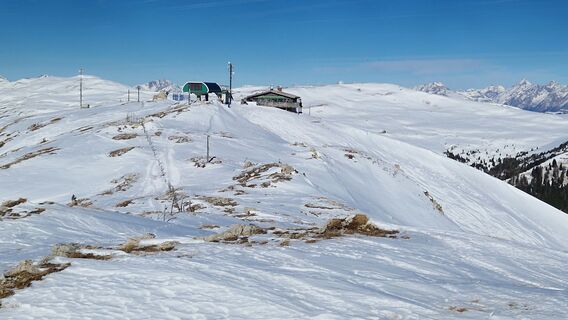 © Peter Hofbauer 3Vytvořeno dne 16.01.2026
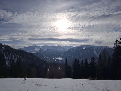
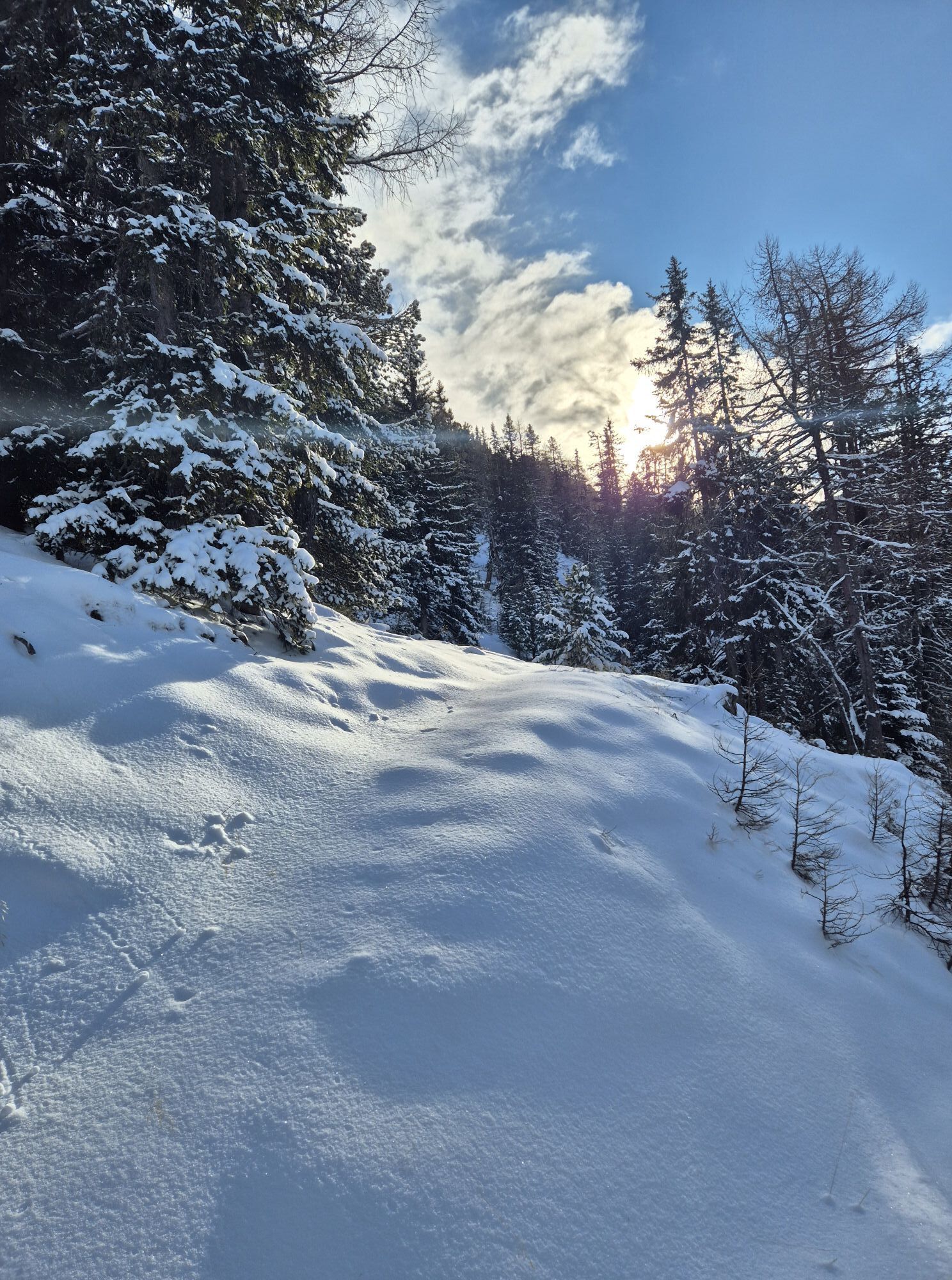
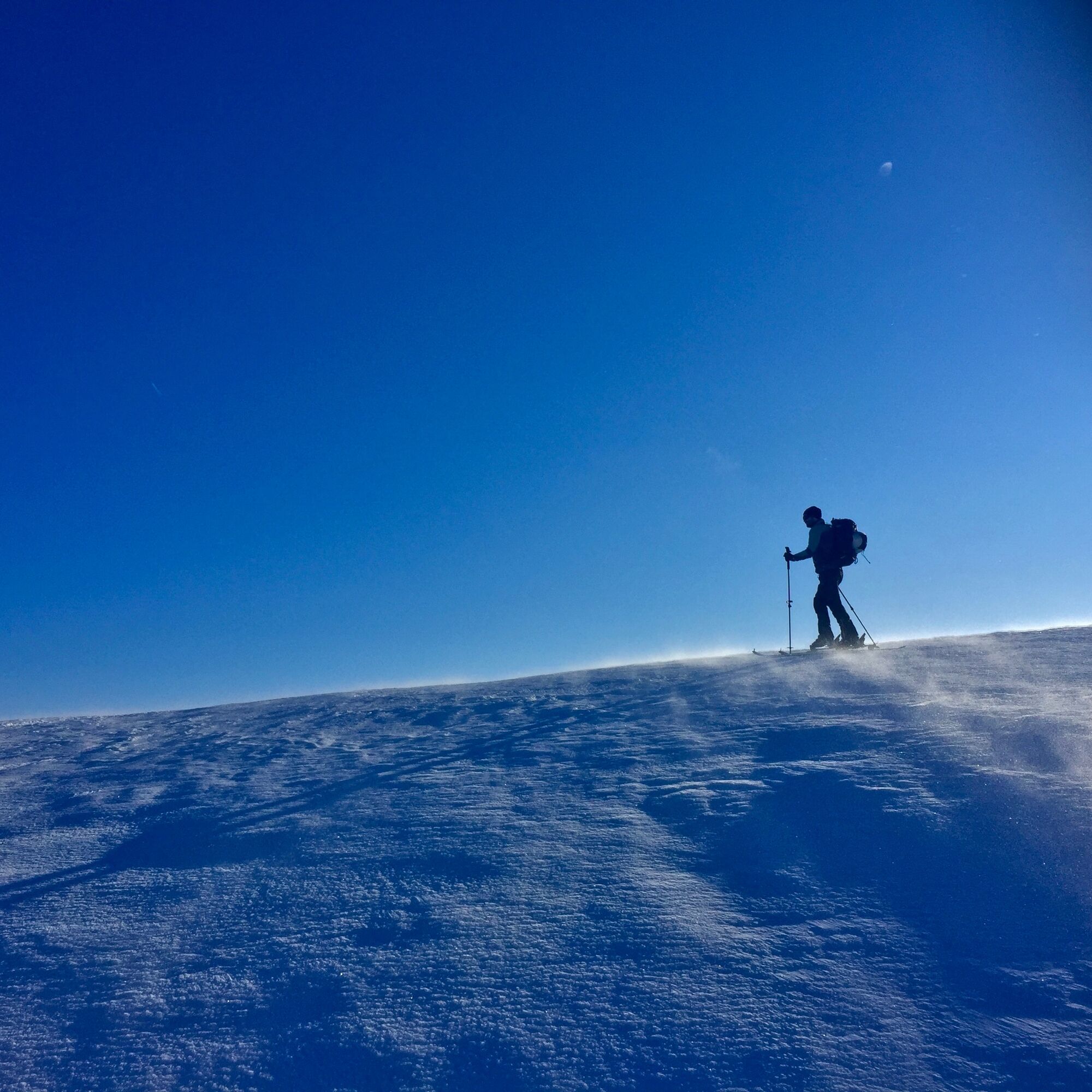
 © Bernd Wimmer 1Vytvořeno dne 25.02.2025
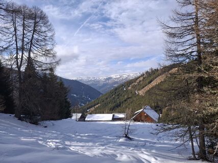 © Bernd Wimmer 1Vytvořeno dne 25.02.2025
 © Bernd Wimmer 1Vytvořeno dne 25.02.2025
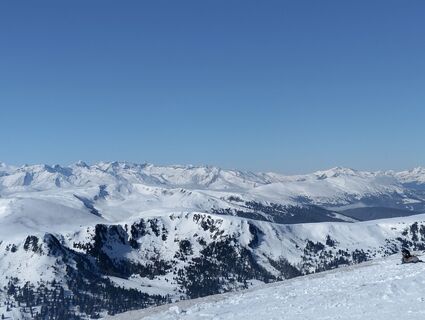
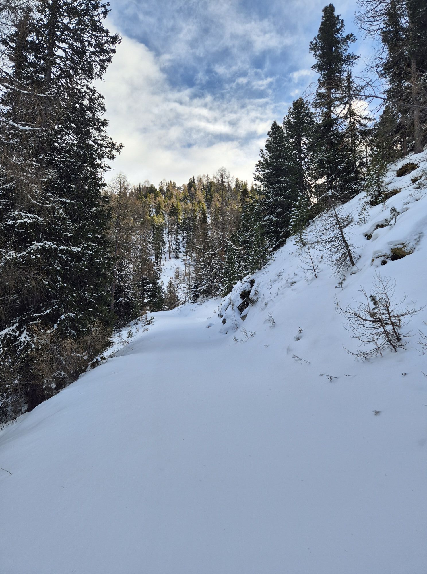
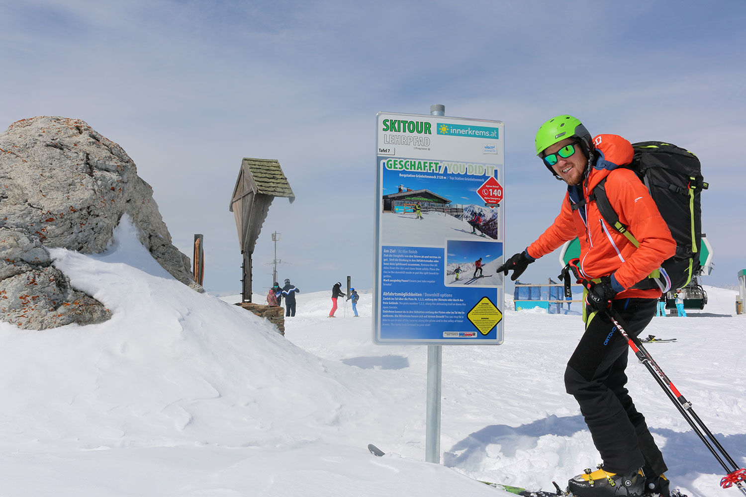
 © Angelika UnterrainerVytvořeno dne 18.02.2025
 © Angelika UnterrainerVytvořeno dne 18.02.2025
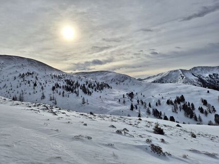
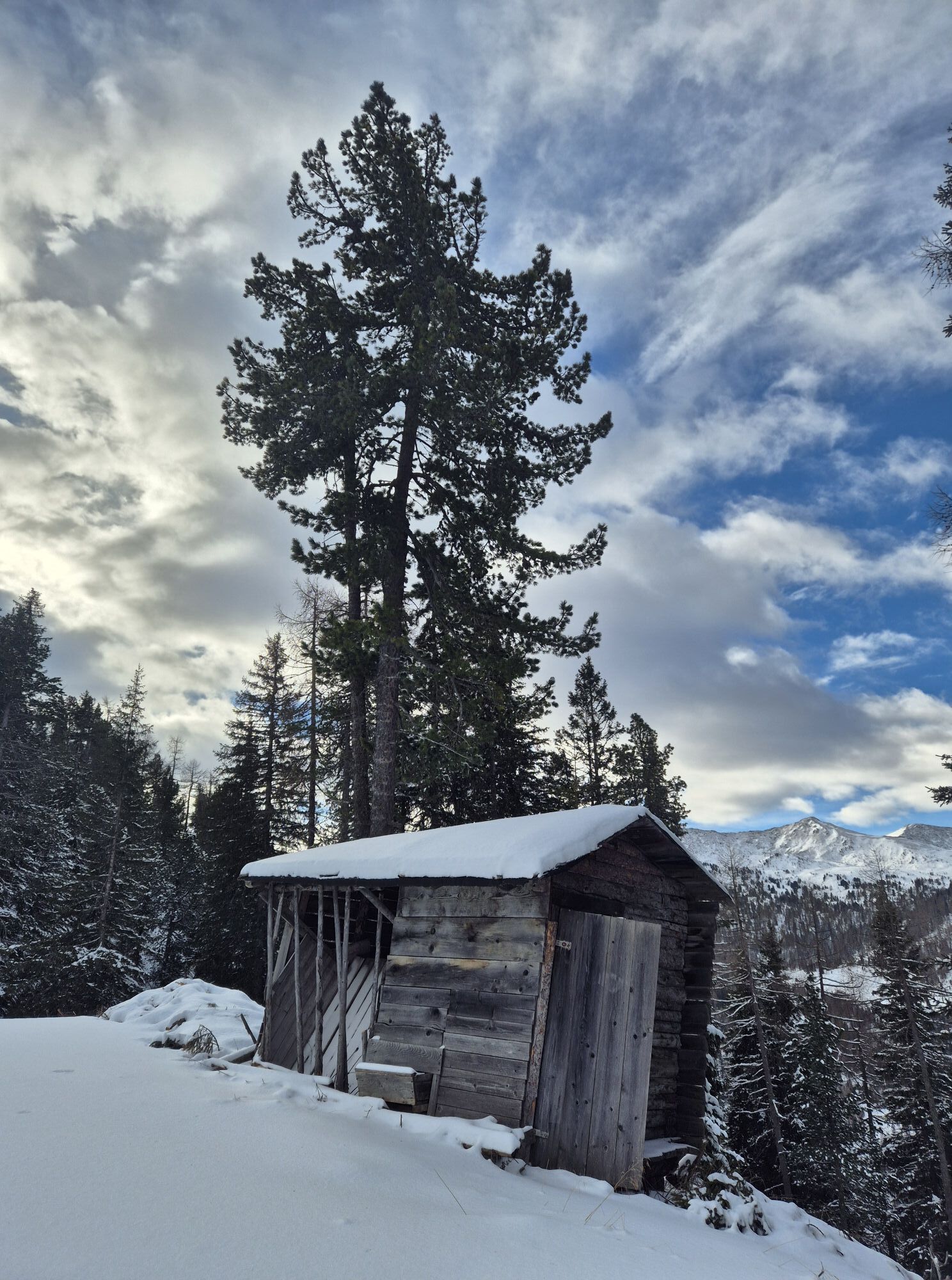
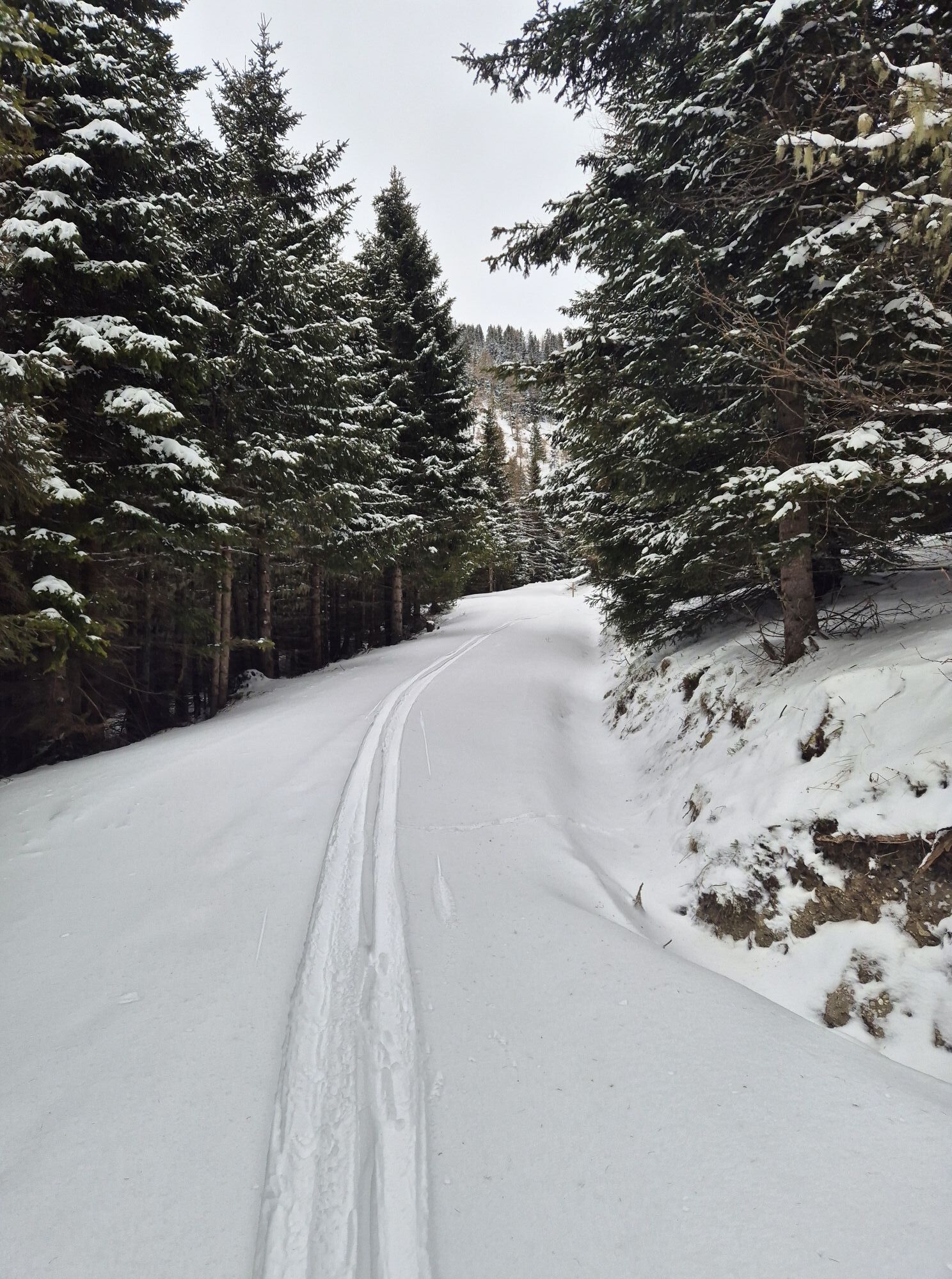
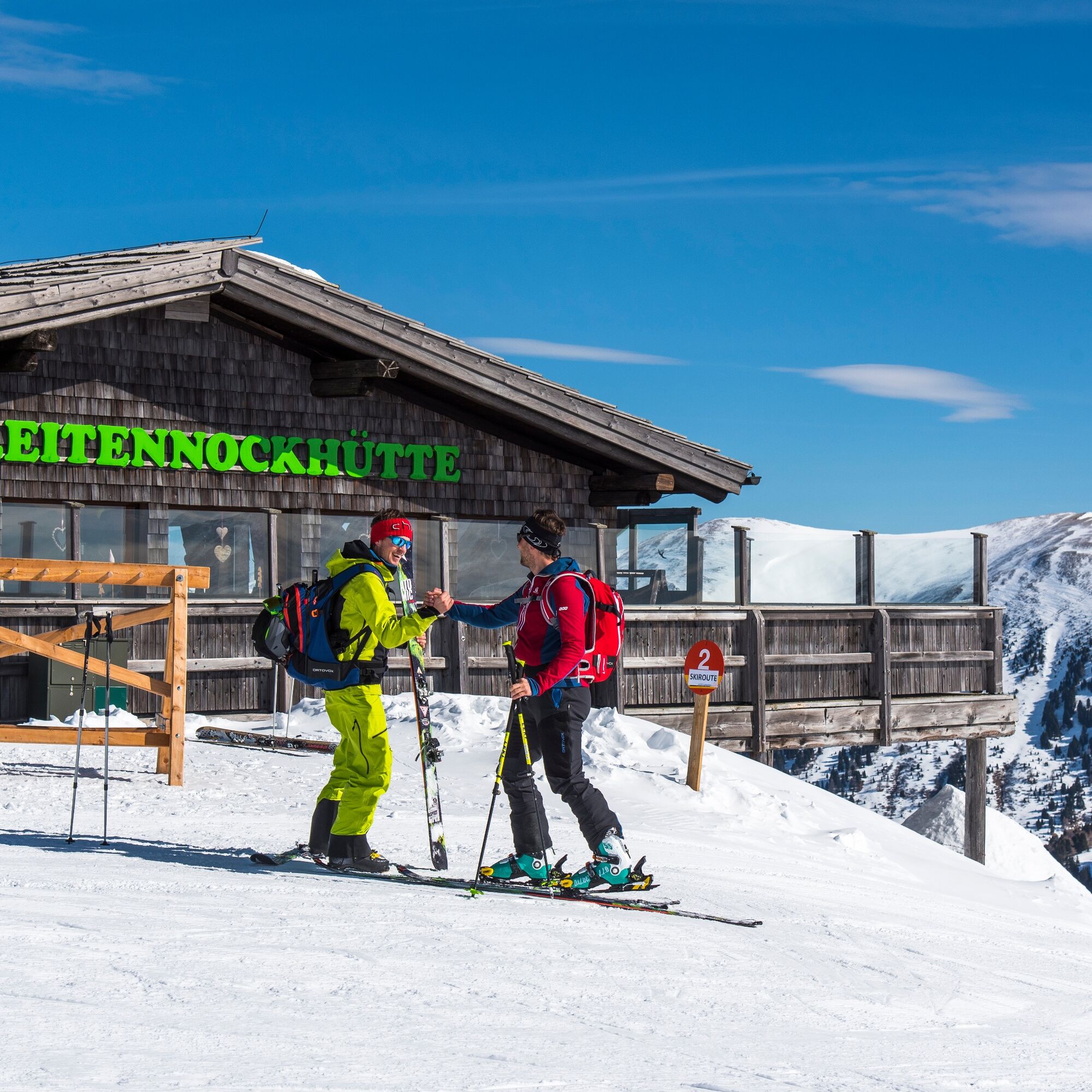
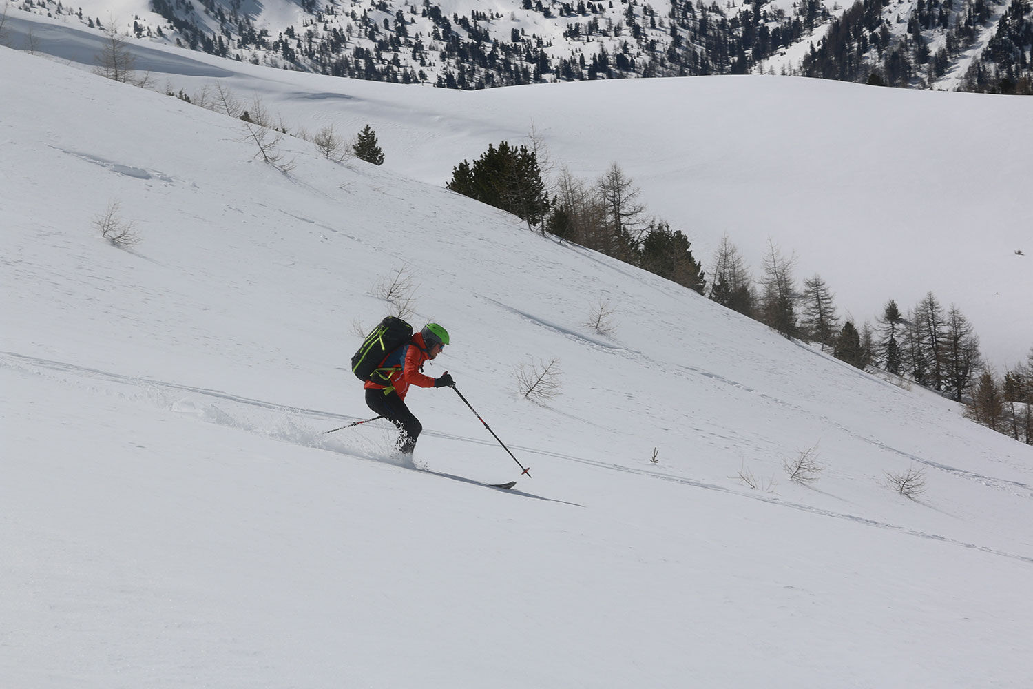
 © Arnulf MüllerVytvořeno dne 22.12.2024
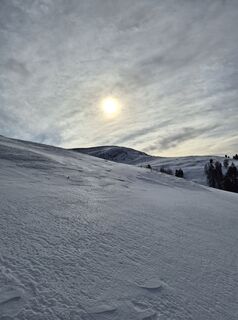 © Arnulf MüllerVytvořeno dne 22.12.2024
 © Arnulf MüllerVytvořeno dne 22.12.2024
 © Arnulf MüllerVytvořeno dne 22.12.2024
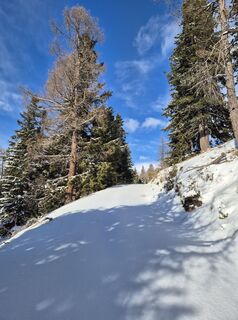 © Arnulf MüllerVytvořeno dne 22.12.2024
 © Arnulf MüllerVytvořeno dne 22.12.2024
 © Arnulf MüllerVytvořeno dne 22.12.2024
 © Arnulf MüllerVytvořeno dne 22.12.2024
 © Arnulf MüllerVytvořeno dne 22.12.2024
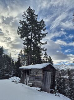 © Arnulf MüllerVytvořeno dne 22.12.2024
 © Arnulf MüllerVytvořeno dne 22.12.2024
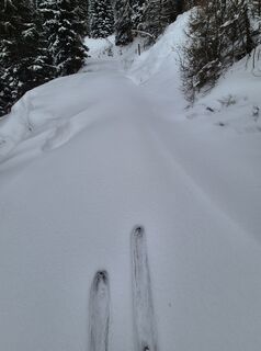 © Arnulf MüllerVytvořeno dne 22.12.2024
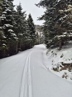 © Arnulf MüllerVytvořeno dne 22.12.2024
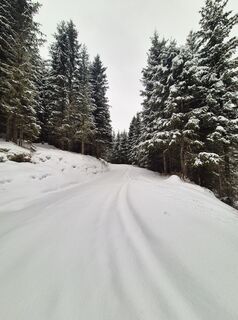 © Arnulf MüllerVytvořeno dne 22.12.2024
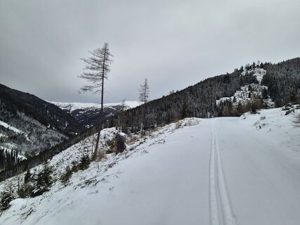 © Arnulf MüllerVytvořeno dne 22.12.2024
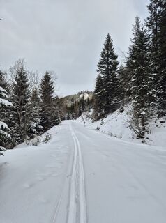 © Arnulf MüllerVytvořeno dne 22.12.2024
 © Arnulf MüllerVytvořeno dne 22.12.2024
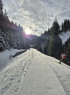 © Arnulf MüllerVytvořeno dne 22.12.2024
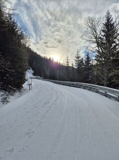 © Arnulf MüllerVytvořeno dne 22.12.2024


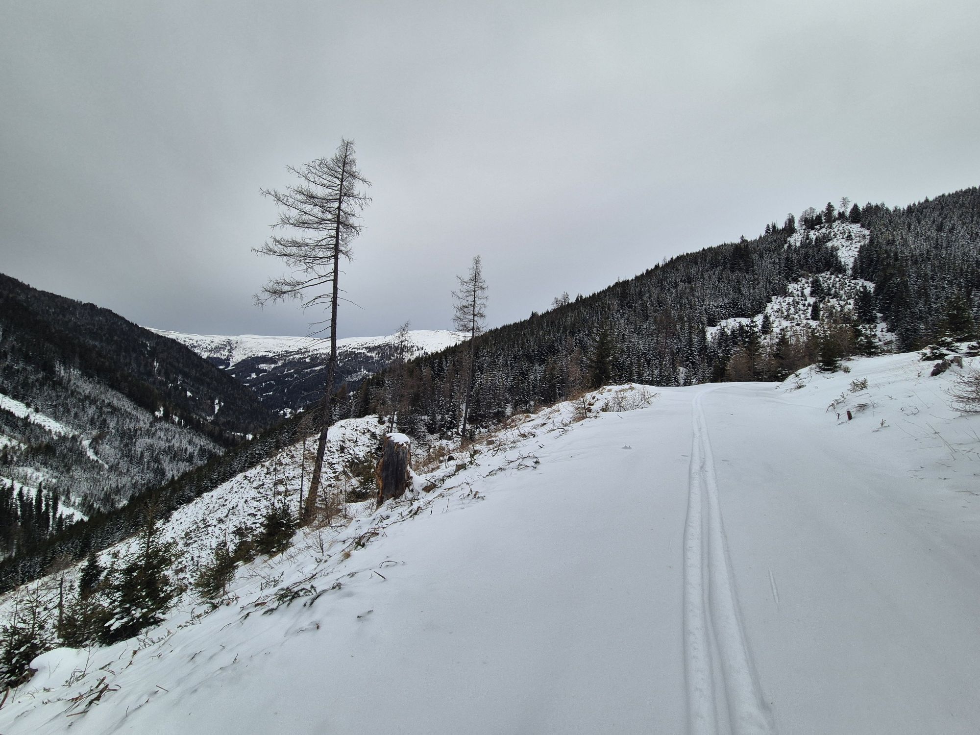

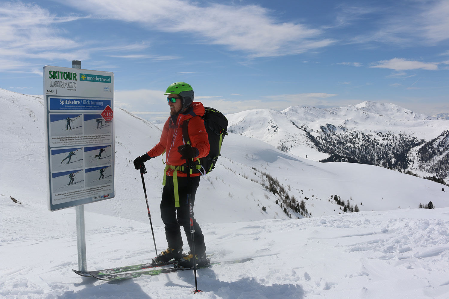
Recommended for all beginners, but also for every other leisurely ski tourer, is the ski tour educational trail in Innerkrems. Here you can learn everything important about ski touring. On various boards,...
Recommended for all beginners, but also for every other leisurely ski tourer, is the ski tour educational trail in Innerkrems. Here you can learn everything important about ski touring. On various boards, you learn the correct handling of touring skis and behavior in open terrain.
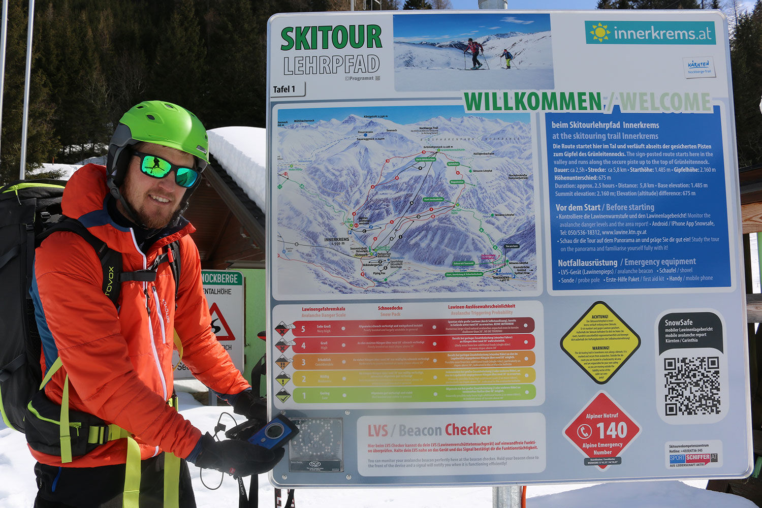
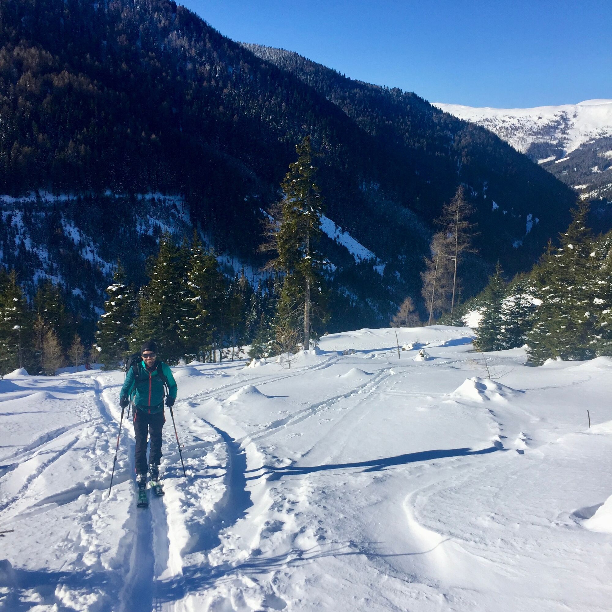
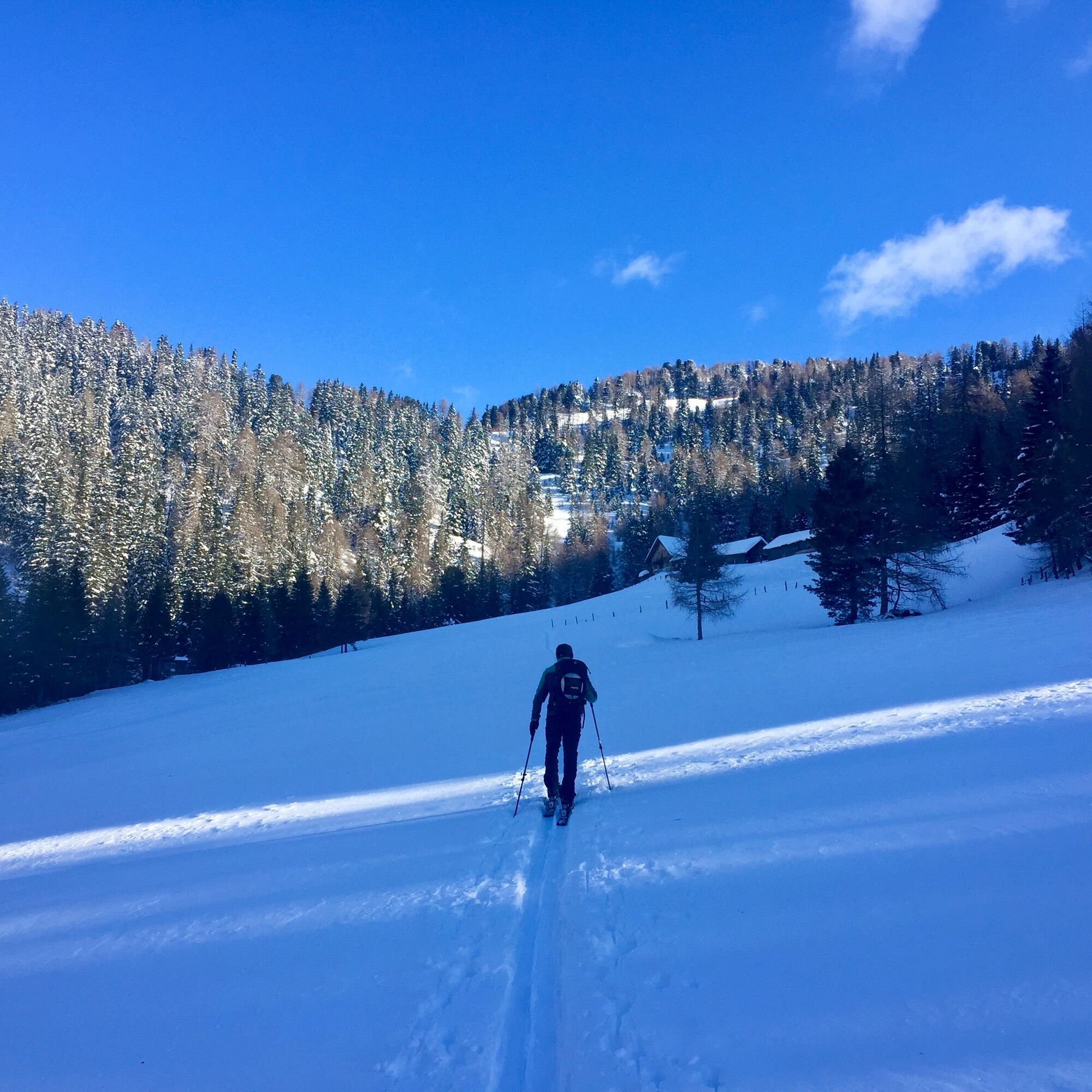
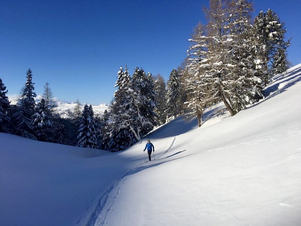
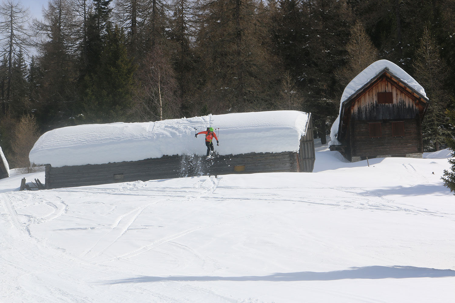
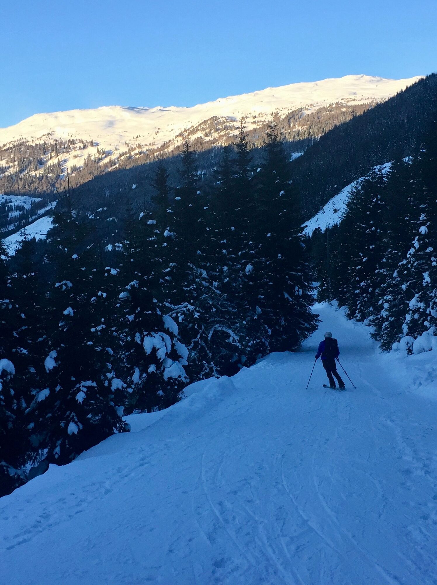
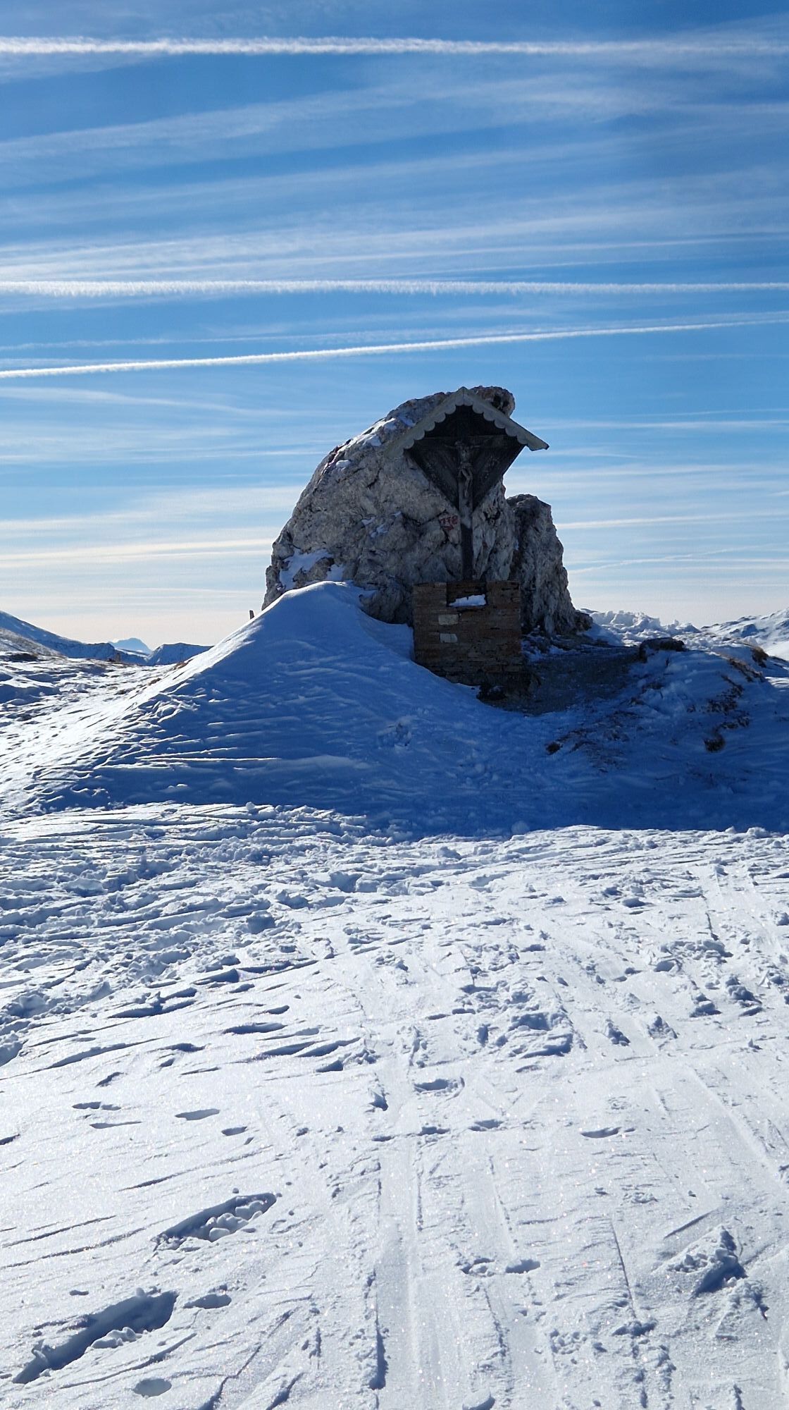
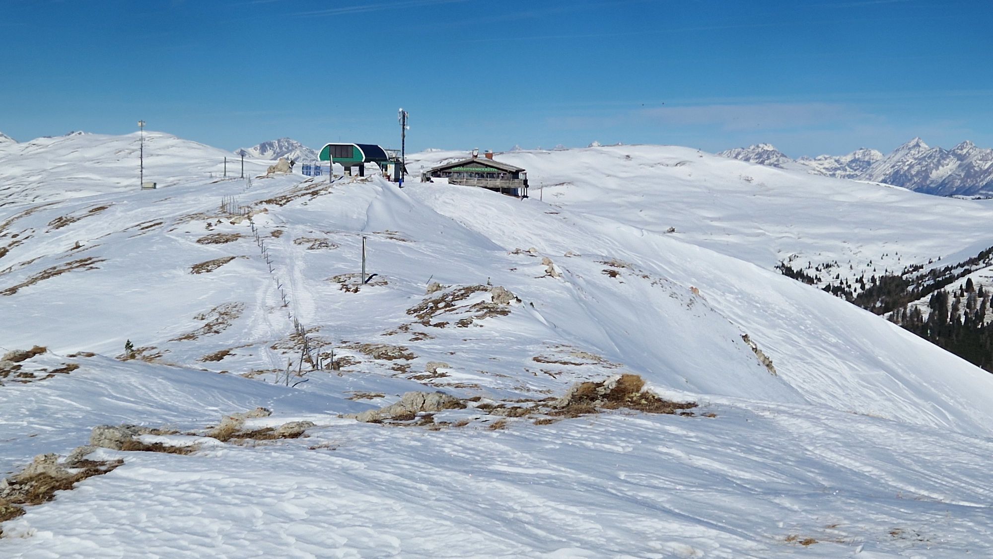
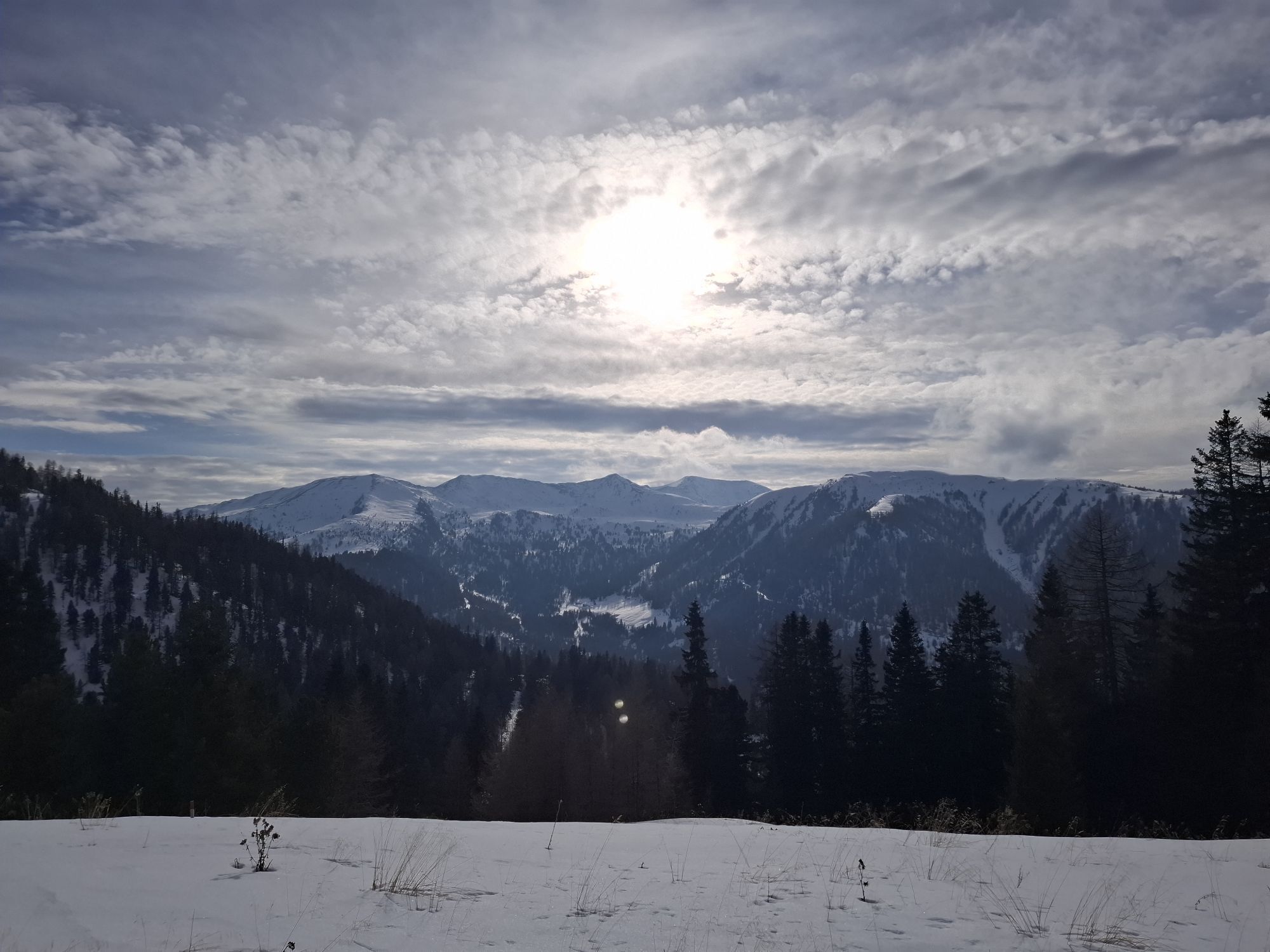
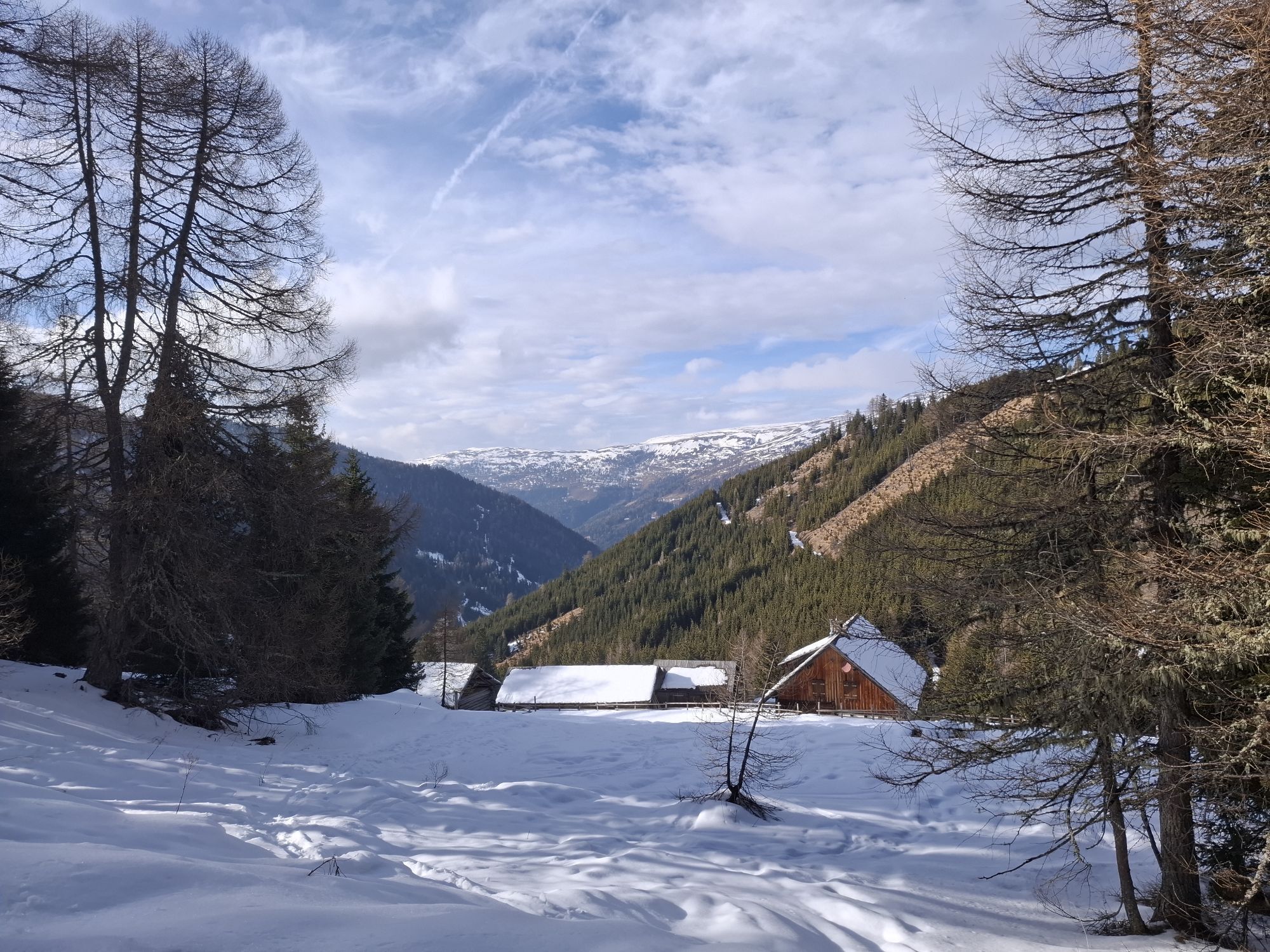
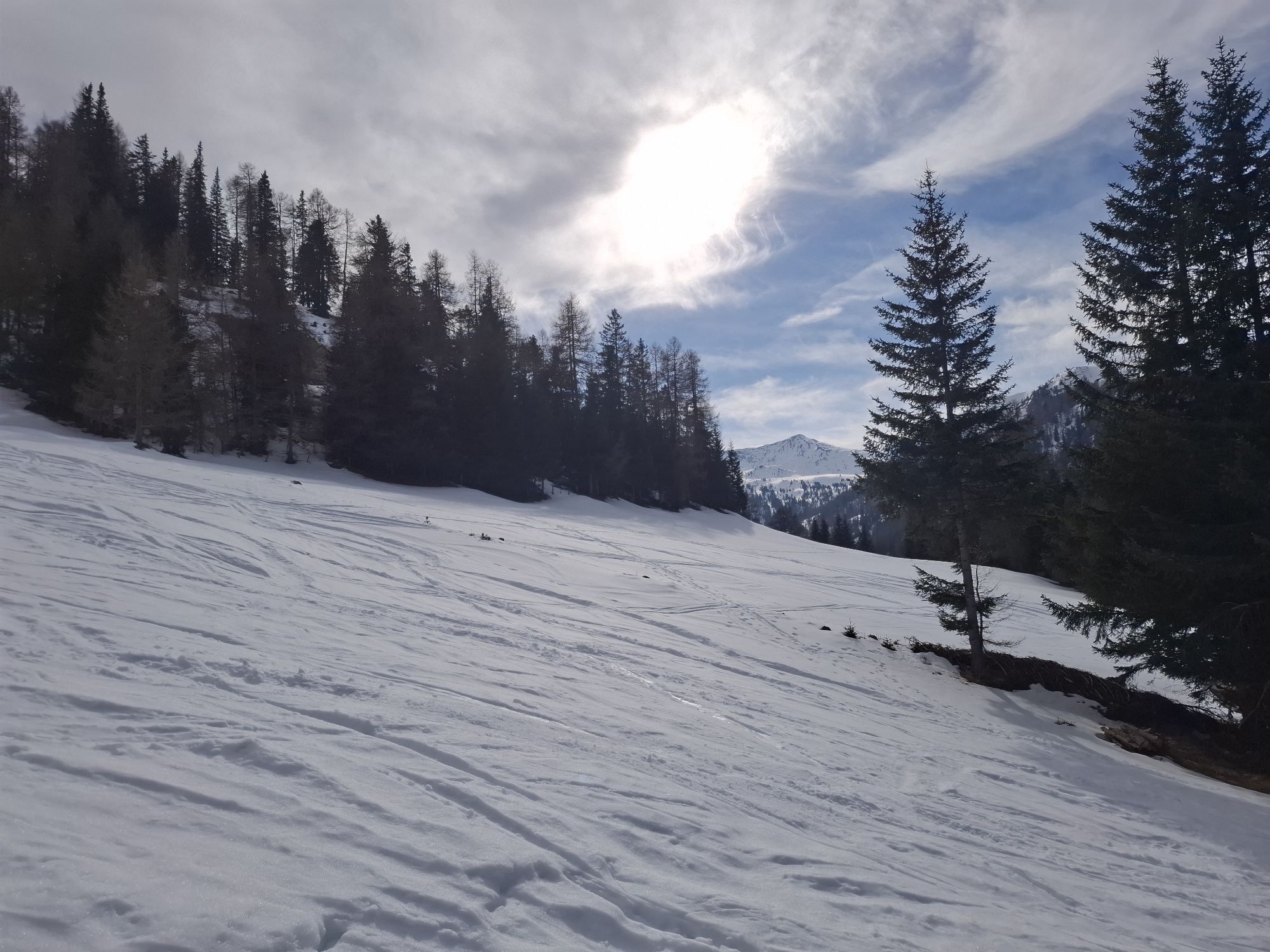
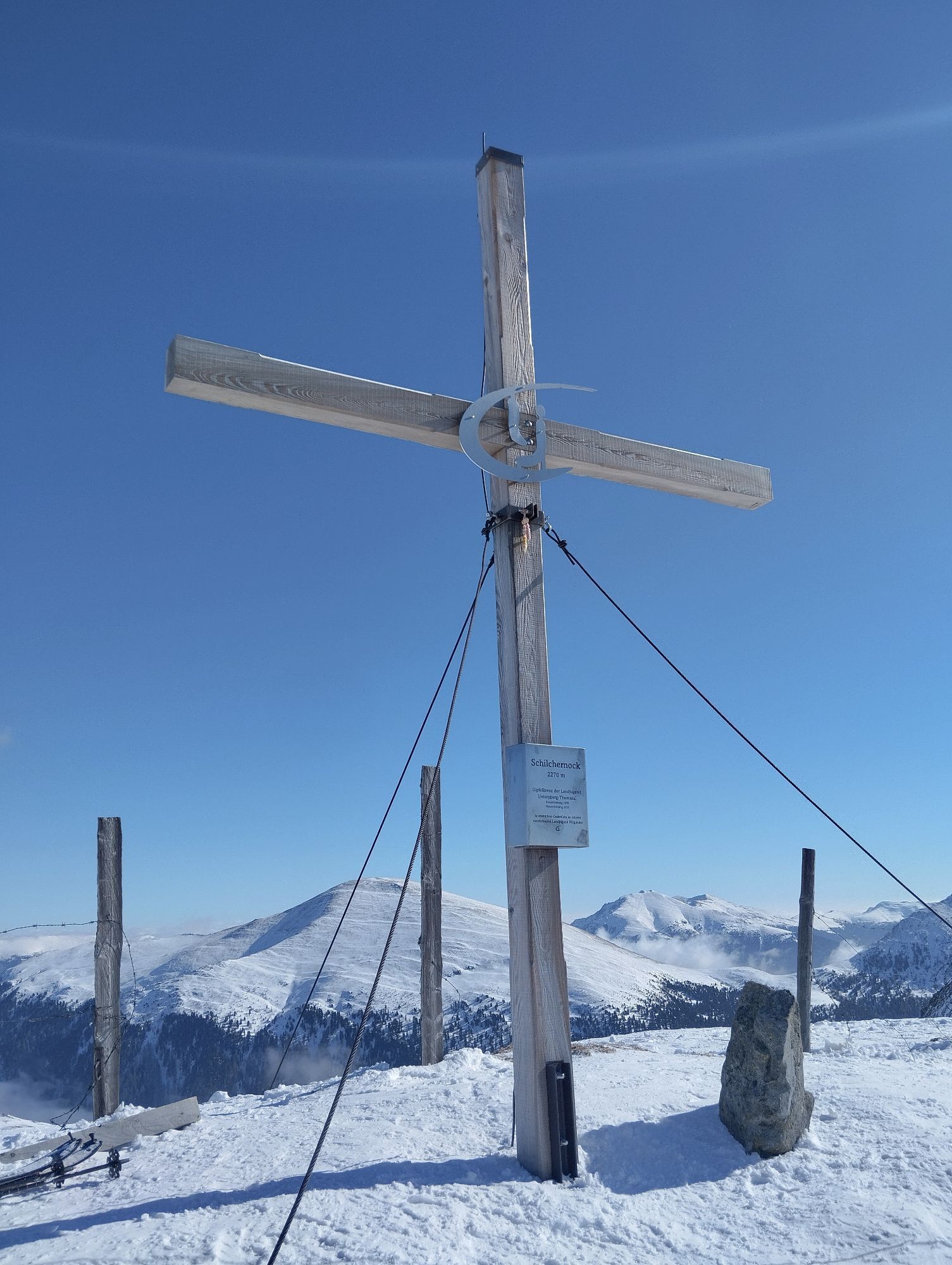
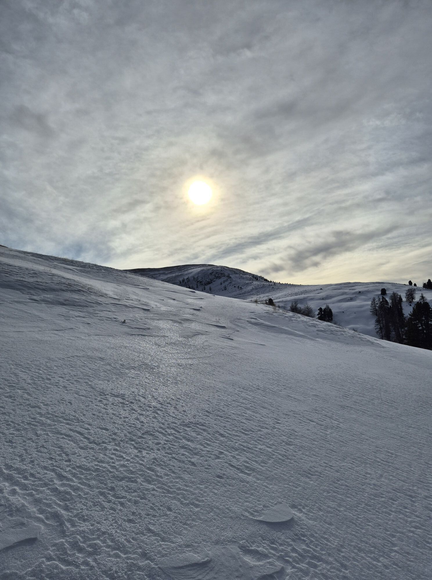
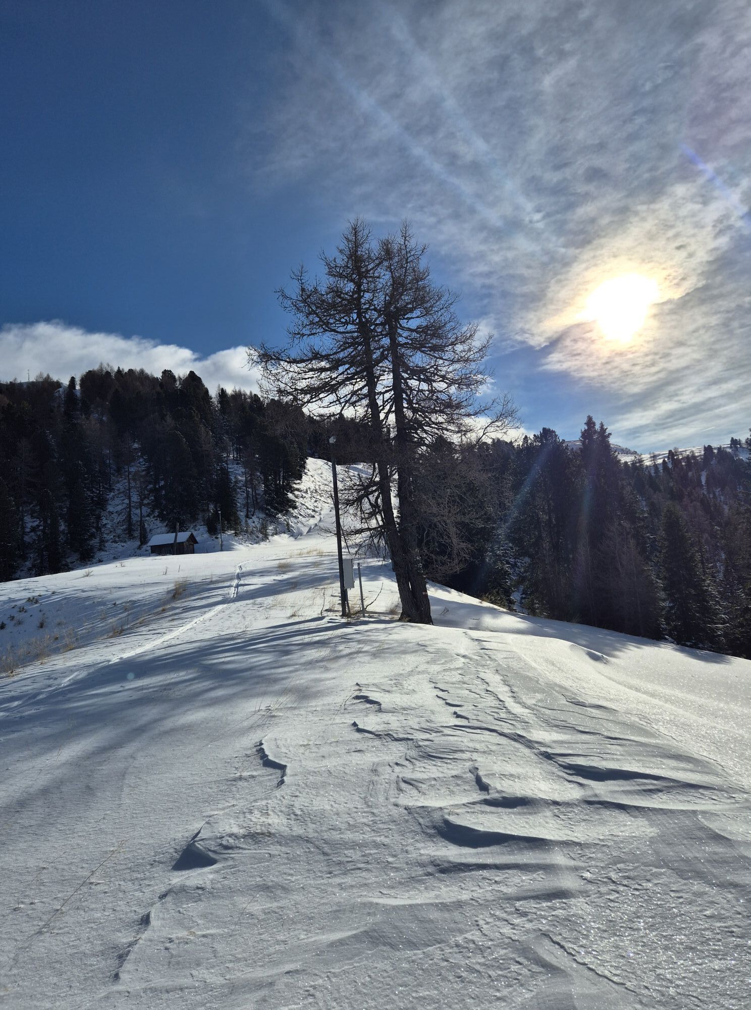
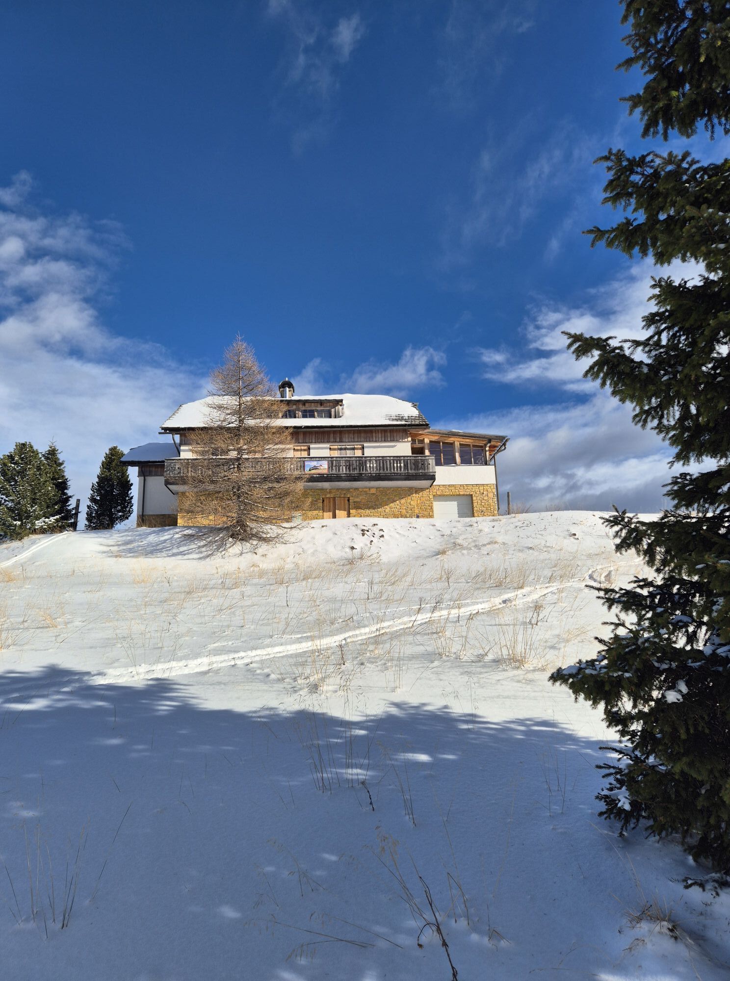
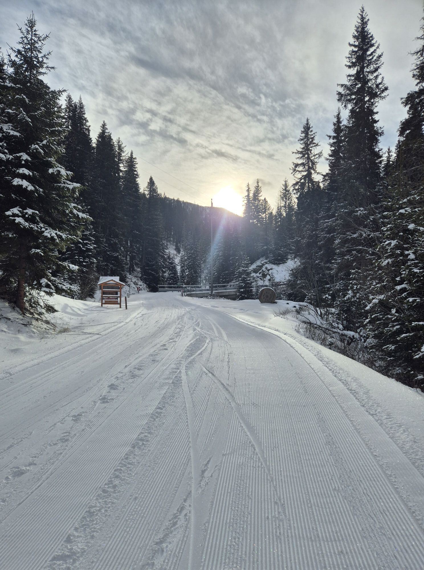
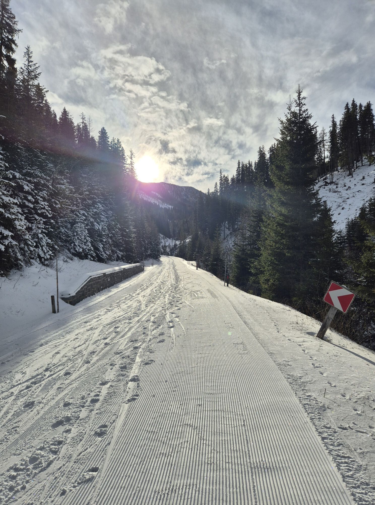
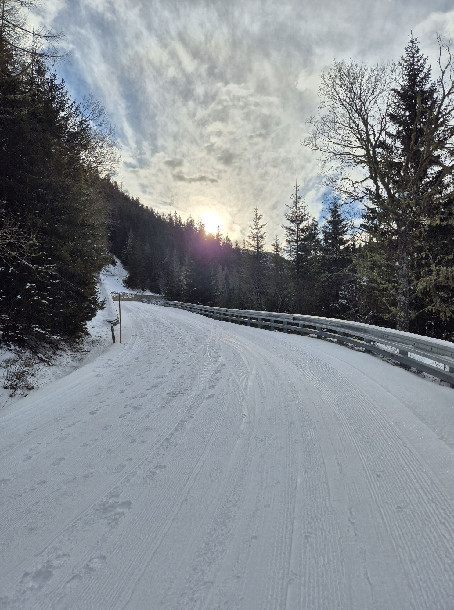
The start of this route is the ski tour board with the avalanche transceiver check at the church in Innerkrems, very close to the Nockalmstraße toll station, which is naturally closed to cars in winter. Follow the Nockalmstraße to Reidn (hairpin turn) No. 2. At the turn, turn left onto the forest road. After about 200 m, keep right. Now follow the forest road for about 1.5 km until it merges into another forest road. Turn left there until you see the Kesselgrubenalm with its rustic huts. Here you can either stay on the forest road or ascend over the alpine pasture to the huts. Passing the huts of the Kesselgrubenalm, continue along the forest road to the Jauchzahütte. At the Jauchzahütte, briefly follow the ski slope, always keep right. After about 200 m, the ski tour educational trail branches off to the right (sign ski tour educational trail). Follow this trail, which gently slopes down into a hollow. Follow the signs of the ski tour educational trail to the highest point; once at the top, turn left towards the Grünleitennock mountain station. Alternatively, from the Jauchzahütte, you can follow the slope to the mountain station, although the last slope is rather steep and therefore not recommended for beginners.
It is possible to descend the same way through open terrain, but also via the ski slope to the valley station of the Grünleitennock chairlift.
Ano
Ano
Tour skis, helmet, backpack, and safety equipment (shovel, probe, & avalanche transceiver device)
Safety tips
If you are on your own without a certified ski and mountain guide, the following recommendations and safety tips must be observed:
You should plan the ski tour according to current weather conditions and your own ability. The current avalanche report should always be observed! The complete emergency equipment must always be carried (avalanche transceiver, shovel, probe, first aid kit, bivy sack, and mobile phone) Learn and practice how to use the emergency equipment! The avalanche risk must be assessed: always behave risk-conscious and respond to danger signals! Base your decisions on strategic risk assessment methods (e.g., “Stop or Go”) and repeatedly analyze the snowpack structure at suitable spots using snow profile methods. Always pay attention to weather conditions and only start when you are sure you can safely reach your destination. Never go on a ski tour alone!Via the Tauern motorway A10 exit at Rennweg/Katschberg (coming from the north) or at Gmünd in Carinthia (coming from the south) onto the B99 to Kremsbrücke. From there, about 10 km on the Innerkrems state road L19 to Innerkrems.
By train to Spittal/Millstätter See station. From there by postbus to Kremsbrücke and then by ski bus to Innerkrems. However, buses do not run regularly, so public arrival is difficult. For guests, the Carinthia station shuttle is recommended, the last-mile service from the station to the booked accommodation.
At the church in Innerkrems or along the Nockalmstraße to the toll station.
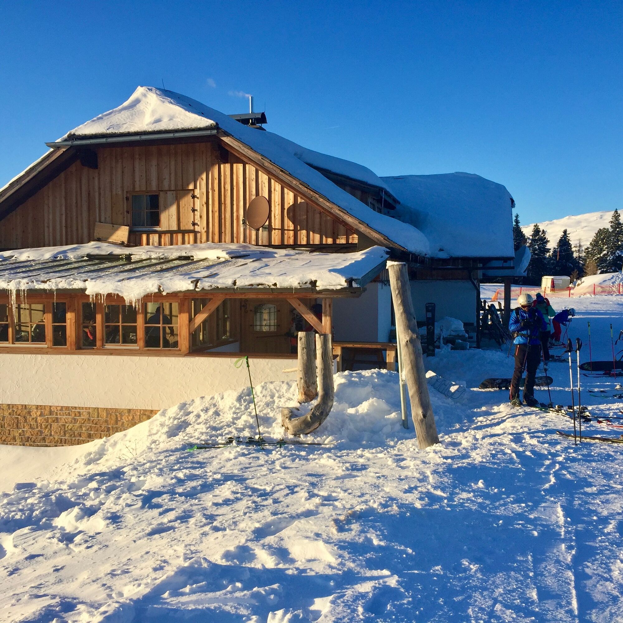
Unfortunately, a stopover in the Jauchza Hut or Grünleitennock Hut is not possible in winter 2022, but at the end of the route at the Gasthof Raufner
Webové kamery z prohlídky


Oblíbené prohlídky v okolí
- 4,6
Turracher 3 Seen Weg - Weg der Sinne zwischen Berg & See
světloTematická stezka 7,15 km - 4,5
Schoberriegel 2.208 m
středníTuristika 9,50 km - 4,6
19, 97 Herzerl trail to the Gamskogelhütte
světloTematická stezka 3,83 km - 4,9
Nockbergrundwanderweg
středníTuristika 6,62 km - 3,9
Schlögelbergrundweg Nr. 82 (Wasserweg Leisnitz)
středníTuristika 5,15 km - 4,9
St. Oswald - Circular hike - Mallnock - Klomnock
středníTuristika 10,9 km - 4,8
Große Rosennock Runde
Turistika 9,80 km - 4,6
Falkertsee - Sonntagstal - Falkert
středníTuristika 4,84 km - 4,7
Falkert, Murmelsteig B/C mit Direktem Abstieg
středníVia ferrata 3,61 km - 4,8
Schönfeld: Großer Königstuhl
středníTuristika 11,2 km
Pěší turistika a stopování


Nenechte si ujít nabídky a inspiraci pro vaši příští dovolenou
Vaše e-mailová adresa byl přidán do poštovního seznamu.