


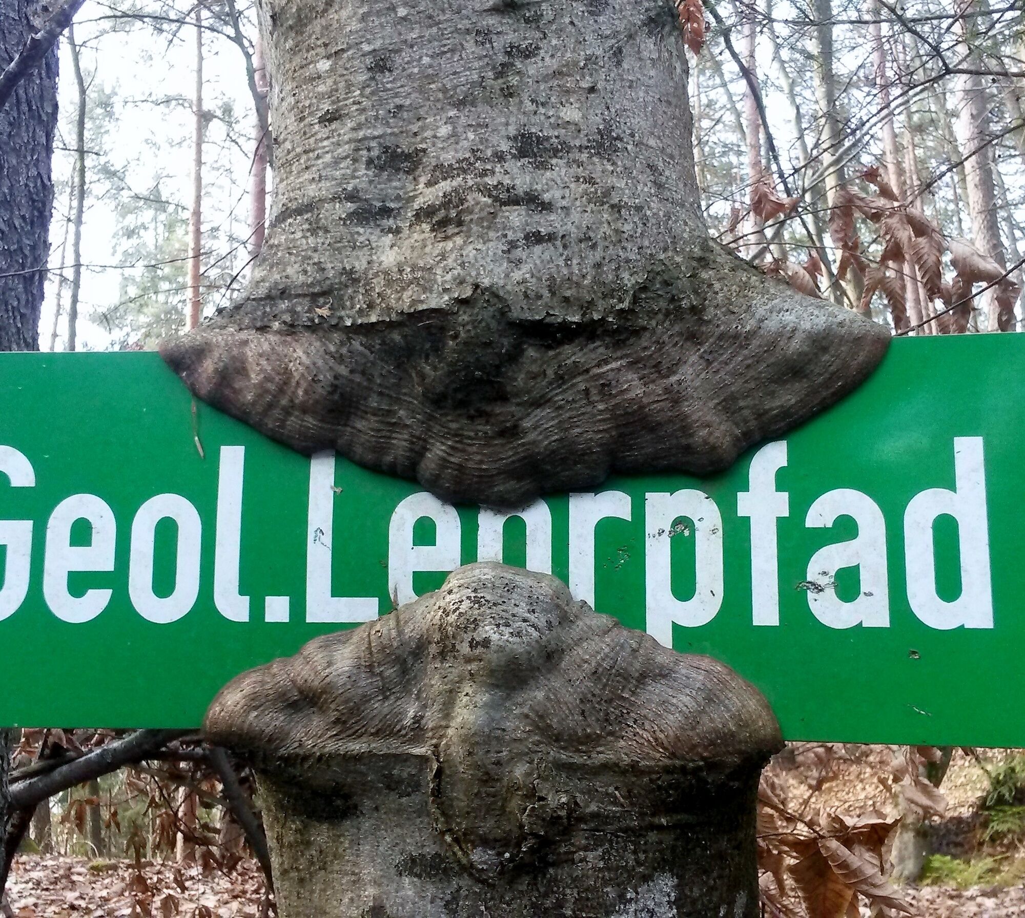
Lavamünd: GEO Trail
Beautiful and informative educational trail about the flowers and plants of the past. A journey back to the origin of the Earth and the first humans.
At several information stations, this story is presented...
Beautiful and informative educational trail about the flowers and plants of the past. A journey back to the origin of the Earth and the first humans.
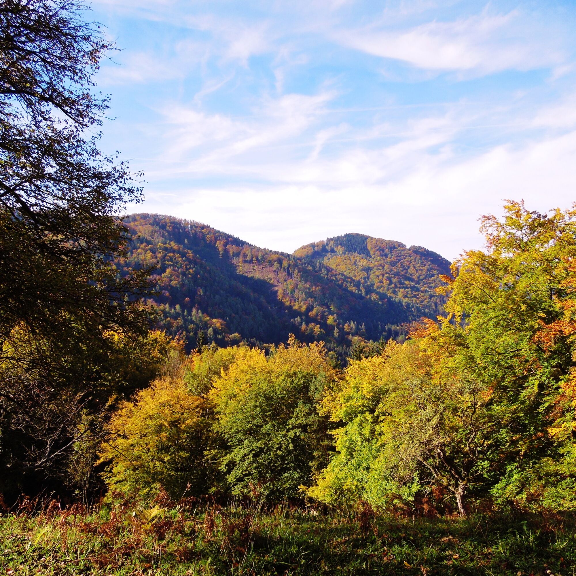
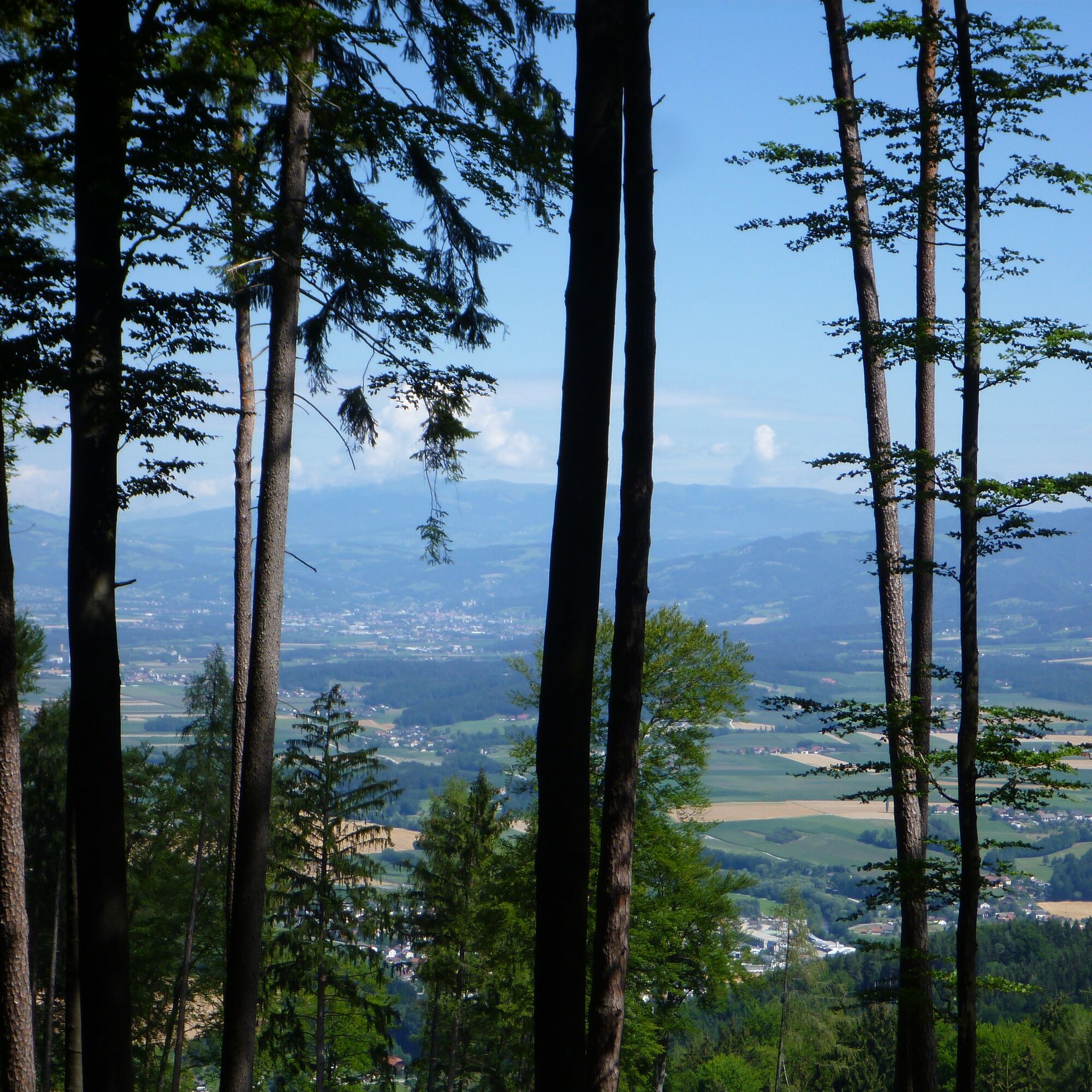
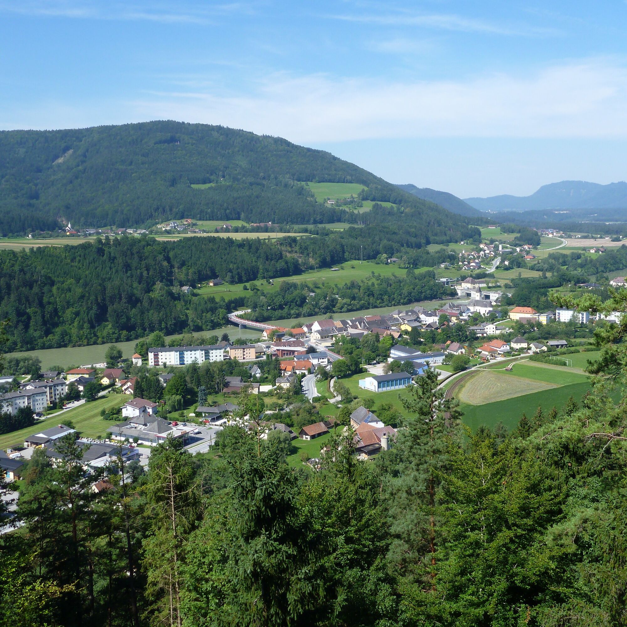
At several information stations, this story is presented and brings the most important aspects closer to the hiker. The Geo Trail starts at the Ruß Cross, and the first information board gives you an overview of the topic of this circular route. Typical orchard meadows, individual farms, and a varied landscape make the GEO Trail a great hiking experience for the whole family.
Tips for hiking with children at Austrian Alpine Club - Hiking with children.
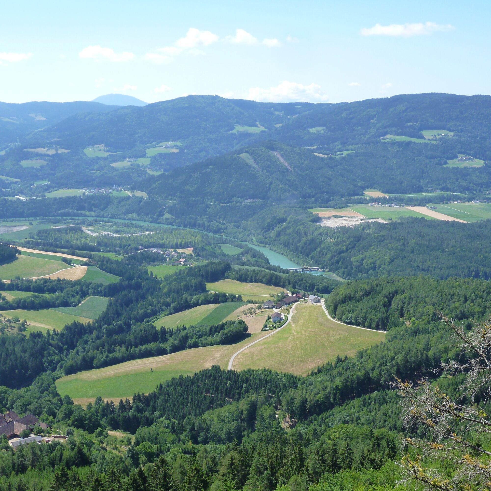
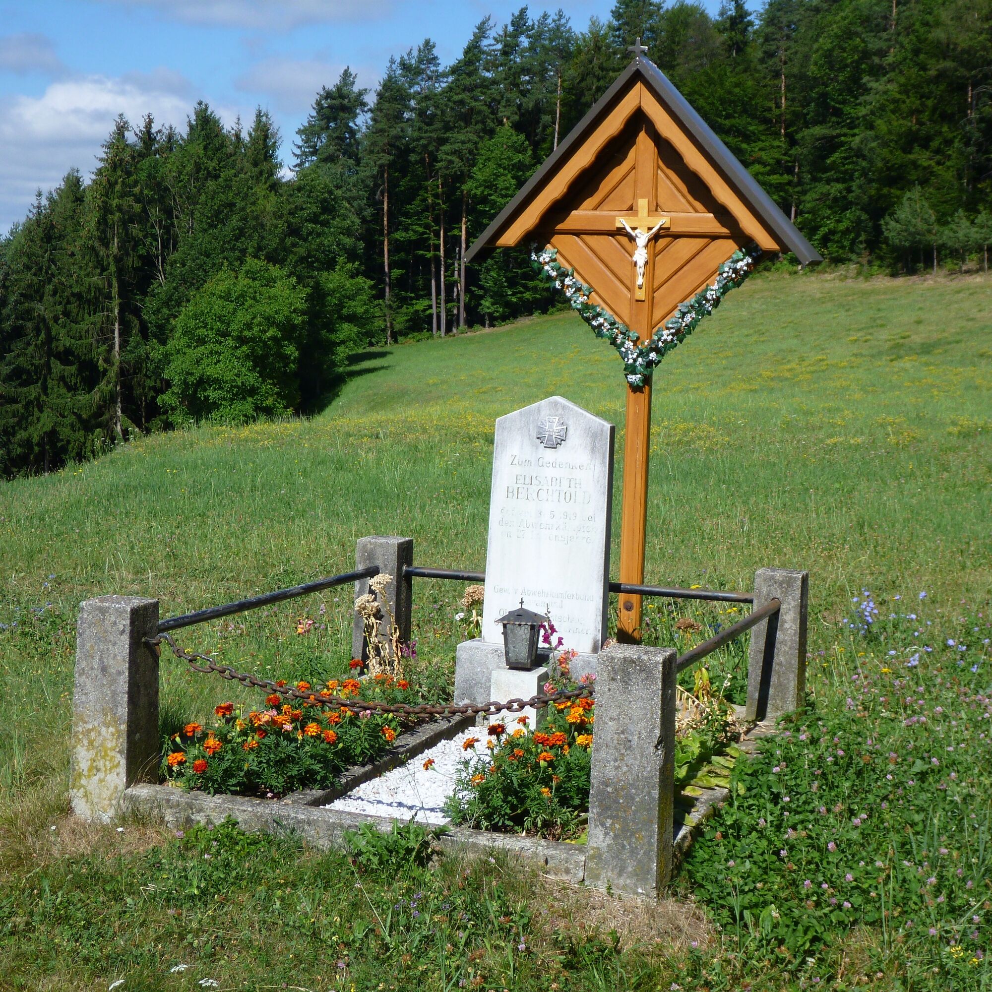
The information board at the Ruß Cross includes an overall overview of Earth's history. After about 700 m, you reach the next info point. Station 2 after 1.1 km (150 m north of the farmstead called Ulli) and Station 3 after approximately 1.3 km.
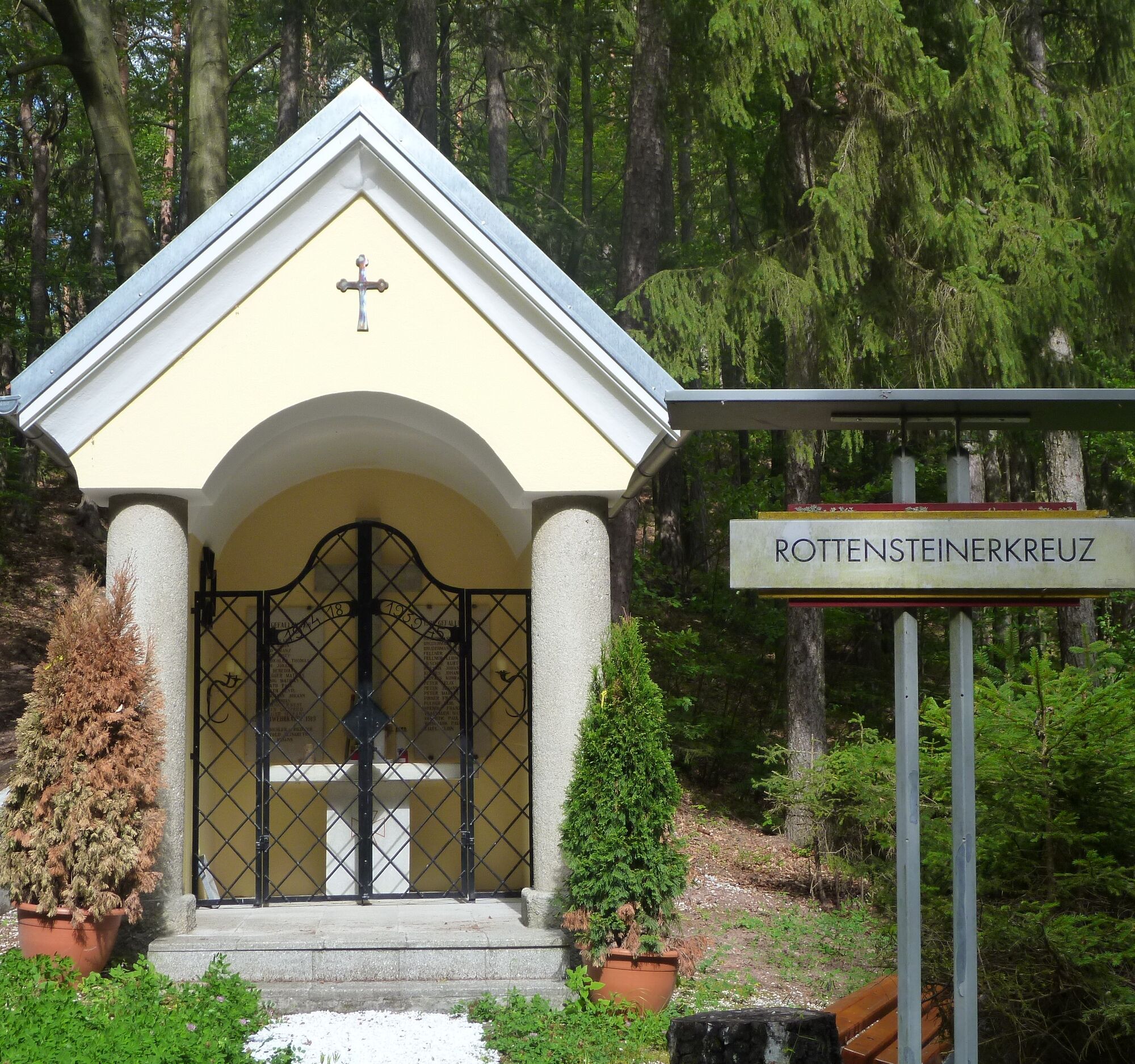
The path now leads slightly downhill to the Rottensteiner Bildstock, then narrows to the left into a hollow way, where Station 4 is located. Further uphill through a hollow way, you reach information boards 5 and 6. Before the ascent to Kasparstein, turn left onto a forest road. On the forest road, it goes downhill towards the farmstead Kasbauer. Shortly before the Kasbauer farmstead, it turns southeast through a pasture gate to the Sternitz farmstead, where Station 7 is also located.
Walking on beautiful meadow and forest paths, you come to the Hofstätter property. The building is very dilapidated and must under no circumstances be entered! The path now runs almost level to the Rausch farmstead (about 10 minutes' walk). Shortly before Rausch, the 8th and last information board stands. Passing under the barn entrance, continue along the road for about a quarter of an hour until you reach the starting point of the hike, the Ruß Cross.
Ano
Ano
For this route good footwear and a small backpack with the essentials are sufficient.
10 recommendations from the Austrian Alpine Club
As a nature sport, mountain hiking offers great opportunities for health, community, and experience. The following recommendations from alpine clubs serve to make mountain hikes as safe and enjoyable as possible.
1. Healthy into the mountains
Mountain hiking is an endurance sport. The positive stress stimuli for the heart and circulatory system require health and realistic self-assessment. Avoid time pressure and choose a pace so that no one in the group runs out of breath.
2. Careful planning
Hiking maps, guide literature, internet, and experts provide information about length, altitude difference, difficulty, and current conditions. Always adapt routes to the group! Pay special attention to the weather forecast because rain, wind, and cold increase the risk of accidents.
3. Complete equipment
Adapt your equipment to your undertaking and pay attention to low backpack weight. Rain, cold, and sun protection must always be in the backpack, as well as a first aid kit and mobile phone (European emergency number 112). Maps or GPS support orientation.
4. Suitable footwear
Good hiking boots protect and relieve the foot and improve surefootedness! When choosing, pay attention to perfect fit, slip-resistant soles, waterproofing, and low weight.
5. Surefootedness is key
Falls as a result of slipping or stumbling are the most frequent cause of accidents! Note that too high a speed or tiredness strongly impair your surefootedness and concentration. Beware of rockfall: by walking carefully, you avoid dislodging stones.
6. Stay on marked paths
In pathless terrain, the risk of losing orientation, falling, and rockfall increases. Avoid shortcuts and return to the last known point if you stray from the path. Often underestimated and very dangerous: steep old snowfields!
7. Regular breaks
Timely rest serves recovery, enjoying the landscape, and socializing. Eating and drinking are necessary to maintain performance and concentration. Isotonic drinks are ideal thirst quenchers. Muesli bars, dried fruit, and biscuits satisfy hunger on the way.
8. Responsibility for children
Note that variety and playful discovery are primary for children! In sections with a risk of falling, one adult can only supervise one child. Very exposed routes that require long concentration are not suitable for children.
9. Small groups
Small groups ensure flexibility and enable mutual help. Inform trusted persons about the destination, route, and return. Stay together in the group. Beware of solo hikers: even small incidents can lead to serious emergencies.
10. Respect for nature and the environment
To protect the mountain nature: do not leave any waste, avoid noise, stay on the paths, do not disturb wild and grazing animals, leave plants undisturbed, and respect protected areas. Use public transport for travel or form carpooling.
Coming from Graz/Vienna and Klagenfurt on the A2 South Motorway - exit St. Andrä, then take the first exit at the roundabout. After the roundabout, follow signs toward St. Paul/Lavamünd. Before Lavamünd, turn right toward Zeil (sign for the Geo Trail). After about 2.5 km, you reach the starting point (Ruß Cross).
No public transport connection to the start of the route. Arrival by public transport possible to Lavamünd.
Parking available at the Ruß Cross.
Info at Climbing center - Alpine Club Wolfsberg. Lavamünd bathing lake
Info at Lavamünd bathing lake.

Oblíbené prohlídky v okolí
- 4,7
Koralpe: hike to the summit cross
světloZimní turistika 4,23 km - 5,0
Koralpe: Hike to the Großer Speikkogel
středníSněžnice 10,5 km - 4,0
Koralpe: panoramic hike
světloZimní turistika 6,57 km - 4,2
St. Paul: Klettergarten und Klettersteig Rabenstein
středníVia ferrata 0,89 km - 4,7
St. Paul: Most Hiking Trail 1-3
heavyTuristika 22,0 km - 4,2
Soboth Runde St.Vinzenz-Dreieckhütte-Gundischhütte
světloTuristika 12,4 km - 4,8
Großer Speikogel, Koralpe, Kärnten
světloHorská turistika 8,46 km - 2,9
Lavamünd: Klettergarten u. Klettersteig Dreifaltigkeitsfelsen
středníVia ferrata 1,11 km - 4,6
St. Andrä: climbing garden and via ferrata Eitweg
středníVia ferrata 0,61 km Lavanttal High Trail: Stage 2 from the Stiftshütte to the Weinebene
středníTuristika 16,8 km

Pěší turistika a stopování


Nenechte si ujít nabídky a inspiraci pro vaši příští dovolenou
Vaše e-mailová adresa byl přidán do poštovního seznamu.