



St. Paul: Most Hiking Trail 1-3

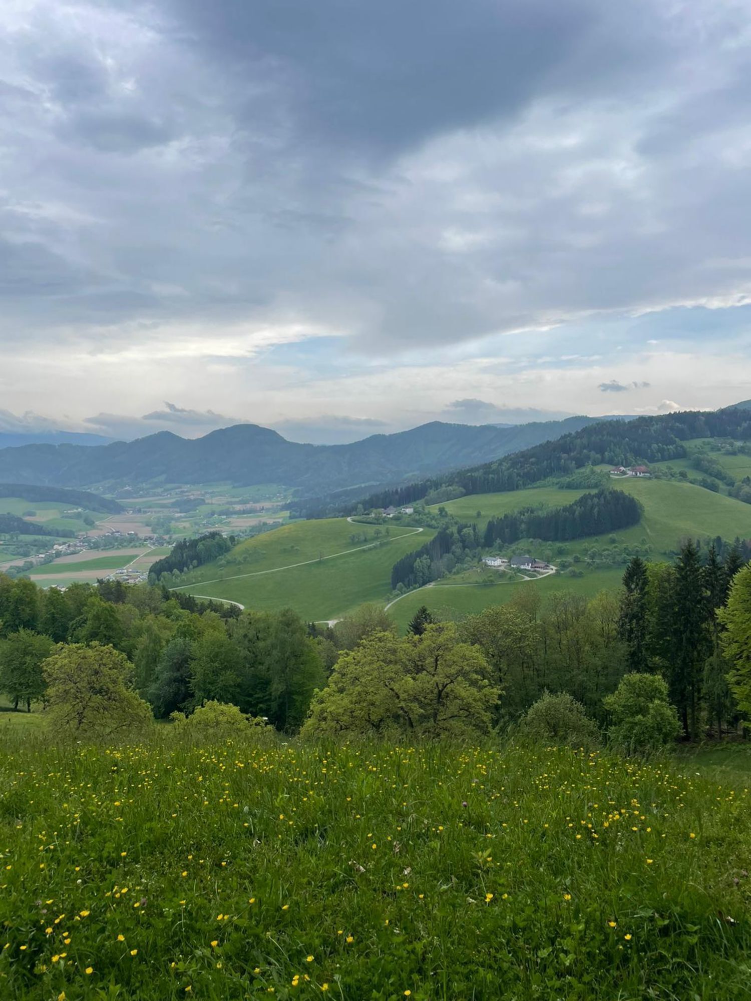
The Granitztal, bounded to the south by the St. Pauler Mountains, runs westward from St. Paul and then curves north to the Packer Federal Road at the beginning of the Griffnerberg. Agricultural areas interspersed...
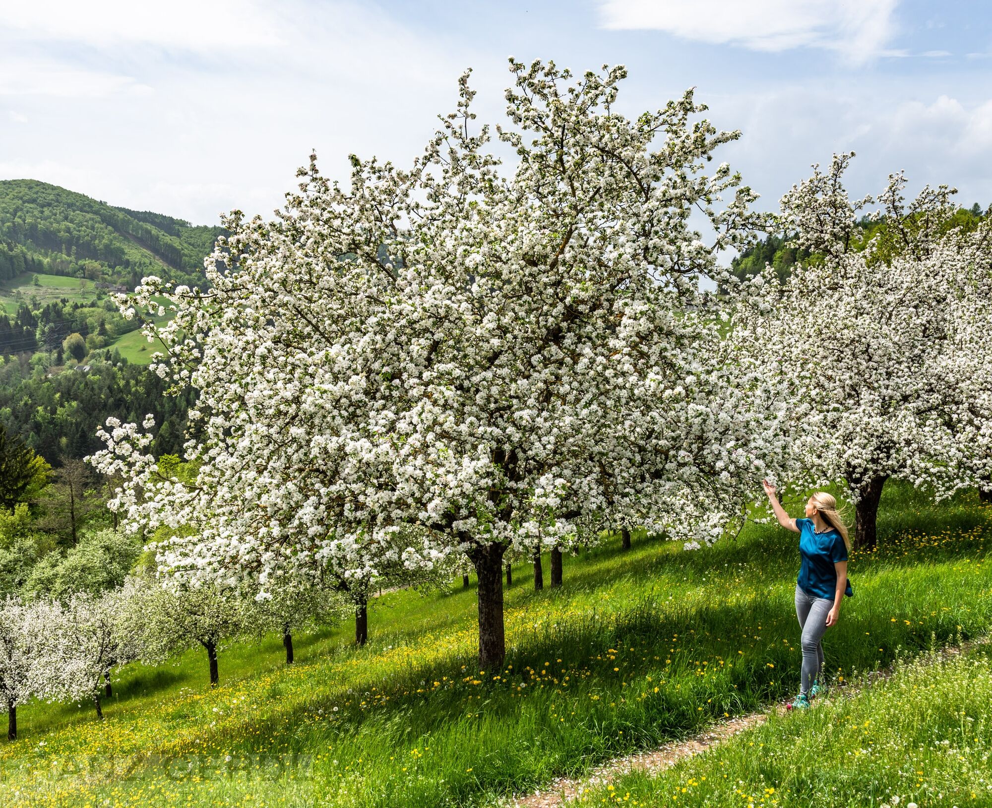
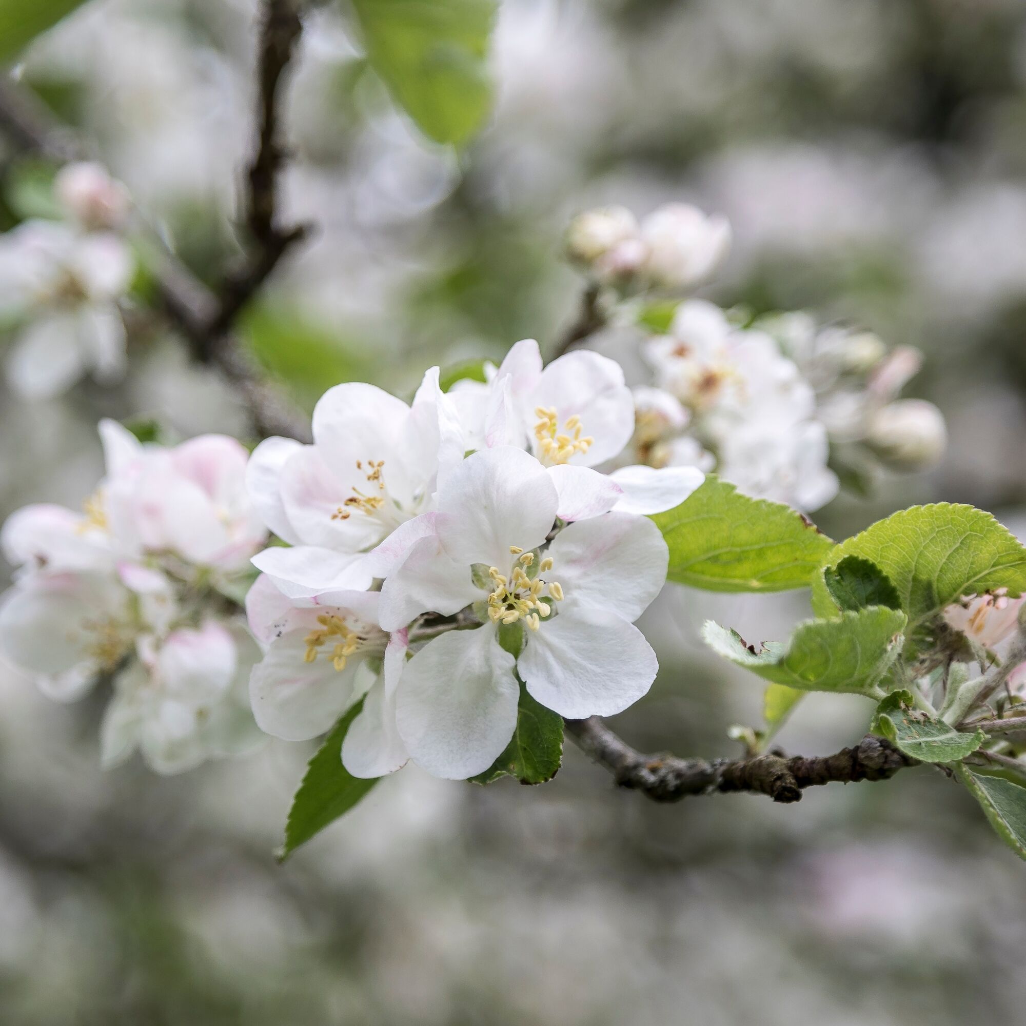
The Granitztal, bounded to the south by the St. Pauler Mountains, runs westward from St. Paul and then curves north to the Packer Federal Road at the beginning of the Griffnerberg. Agricultural areas interspersed with numerous scattered orchards with plenty of fruit-bearing trees characterize the landscape. The highest elevation is the Martinikogel at 841 m above sea level. Every year on May 1st, the Granitztal Blossom Hike takes place.
The village of St. Martin with its church forms the cultural and ecclesiastical center for the people of the rural region, where the maintenance of lively traditions is highly valued.
Variant 2: 12 km. Walking time: approx. 4 hours - 300 meters elevation gain; turn-off at the farmstead Brochart - past the Buschenschank Scharpfer - junction with Variant 1 at the farmstead Guberthaler.
Variant 3: 6.5 km. Walking time: approx. 3 hours - 160 meters elevation gain; turn-off at the Huber Cross - past the farmstead Maier - junction with Variant 1 at the farmstead Trattenthoman.
Variants 2 and 3 are also very well signposted.
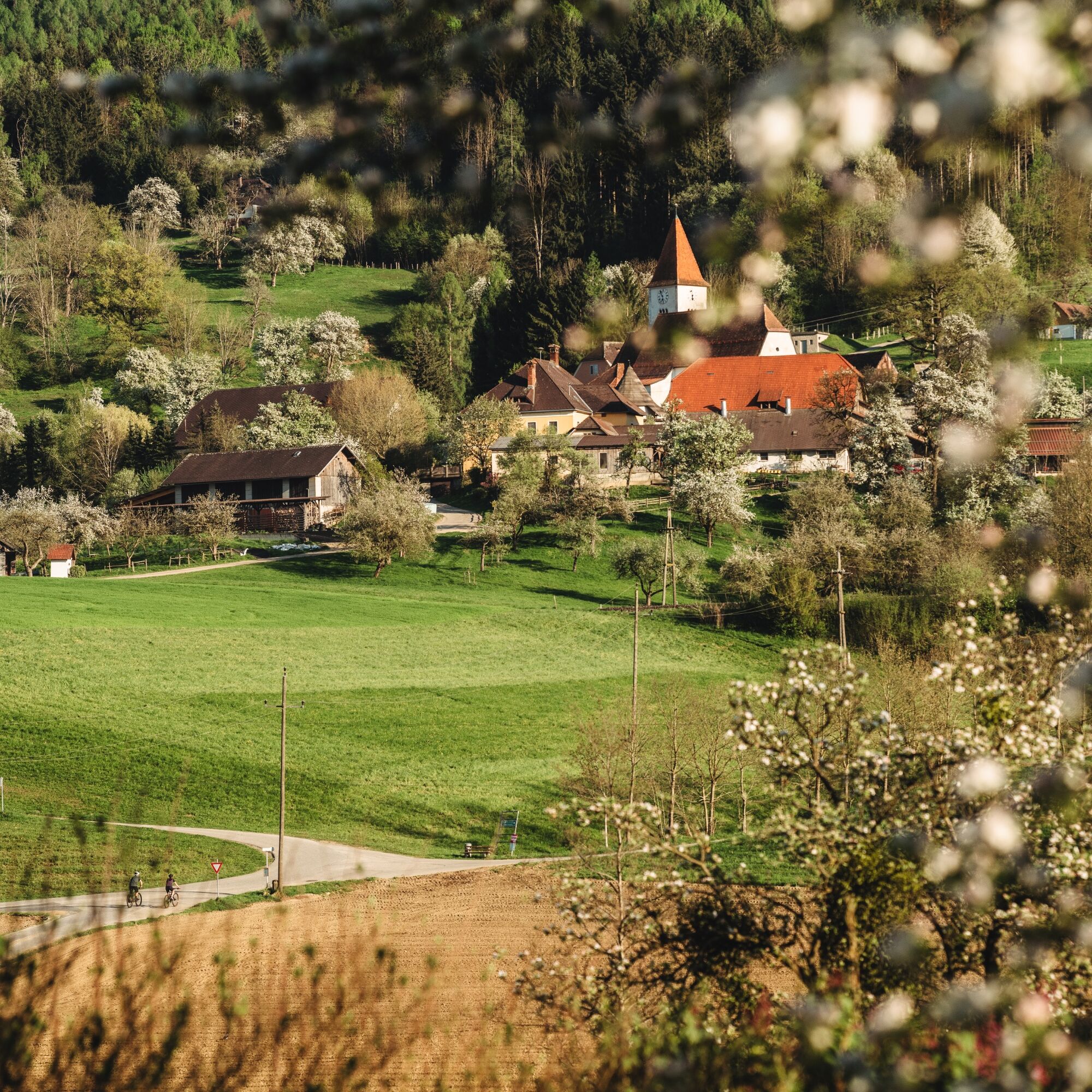

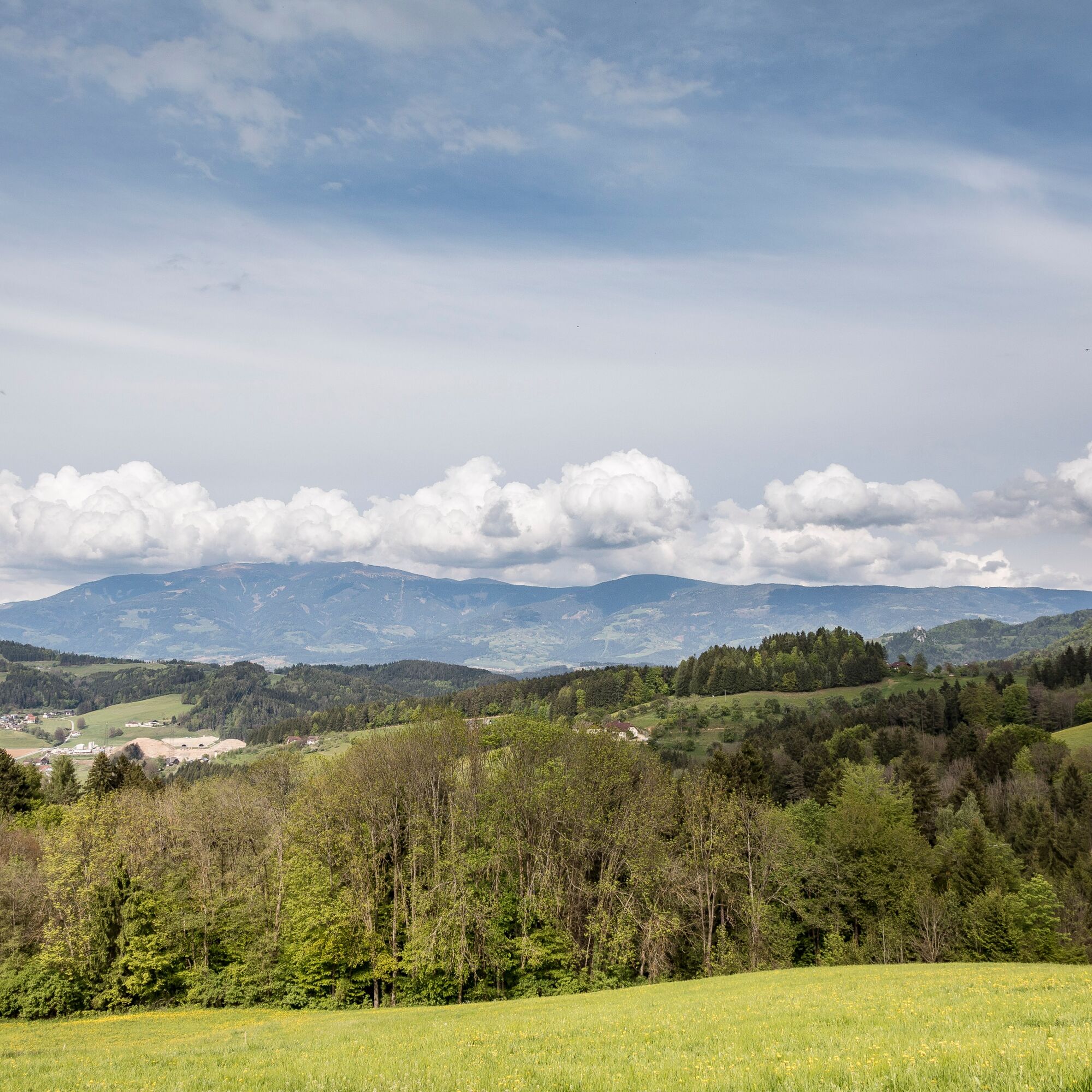
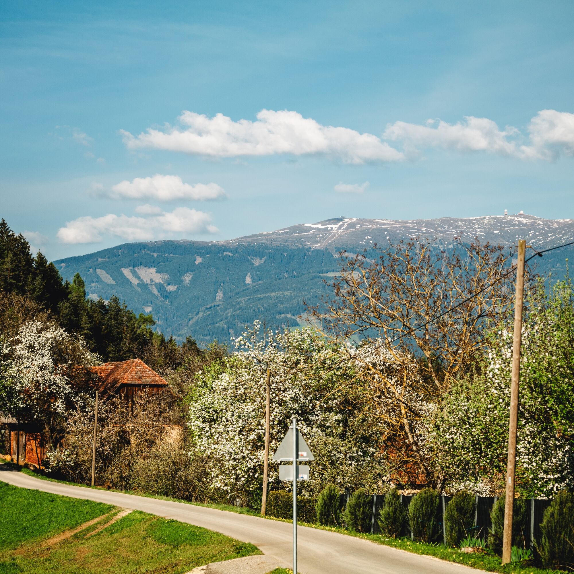
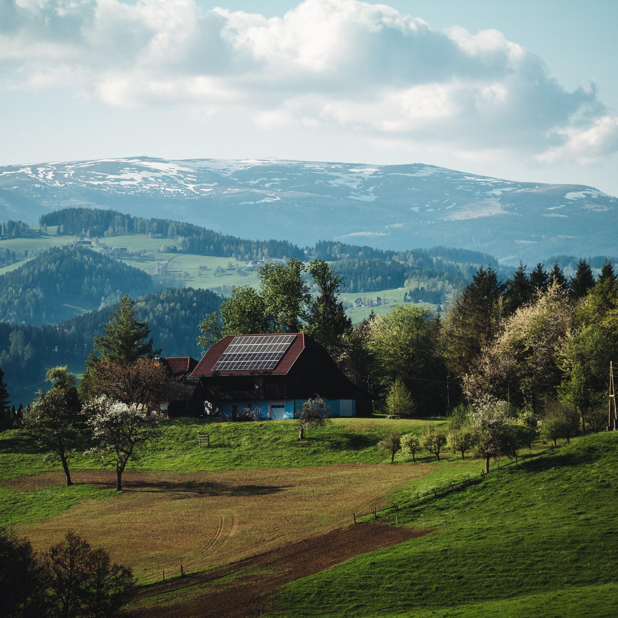
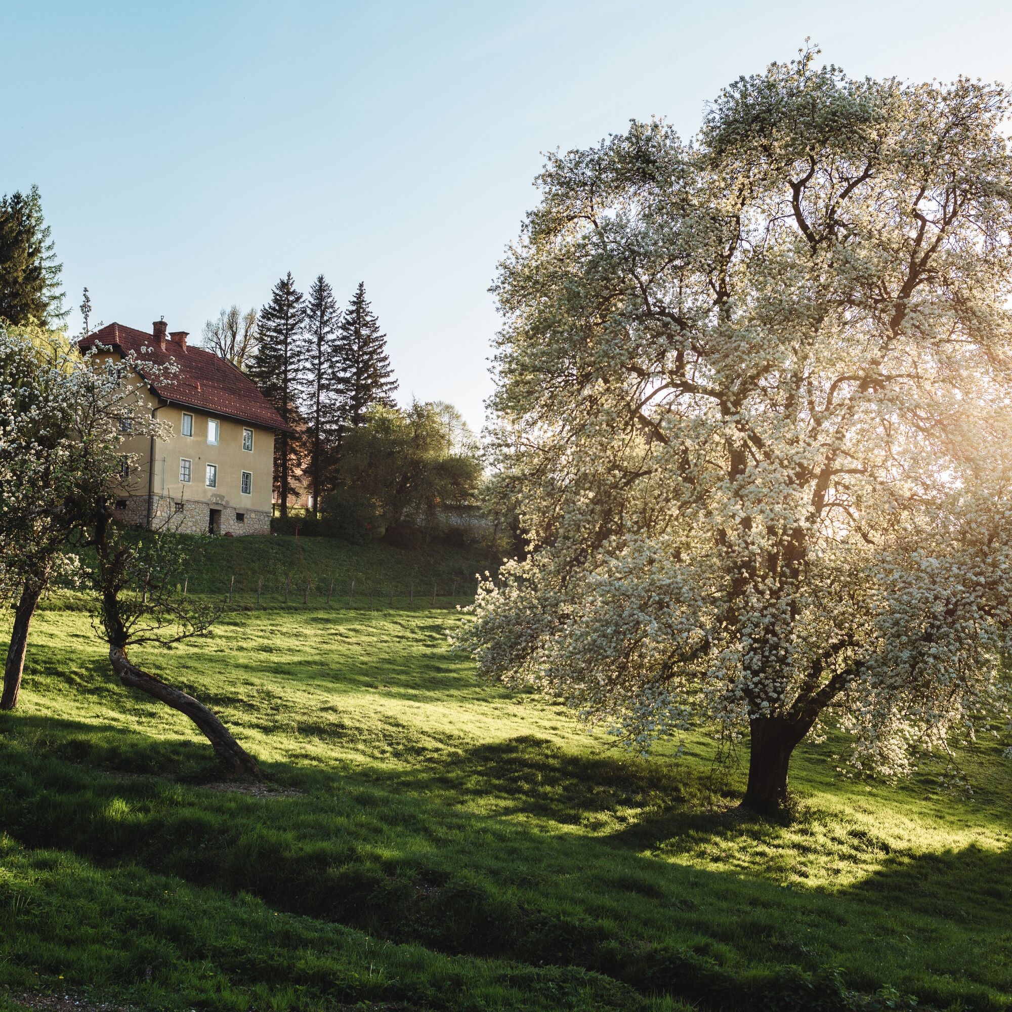


The starting point of the hike is the Granitztal train stop. The first 1.2 km lead slightly uphill along a narrow road to the former Buschenschank Buchbauer. A field path leads to the Schreiber Height. The hike then continues along the road past the farmstead Huber to the Grutscher Cross (approx. 3.2 km). The next section leads to the Windisch Grutschen and later to the "Weiberwinkel" at 650 m above sea level. The next point on this themed hiking trail is the Taffent Cross, which is also the northernmost point of the hike. Back into the Granitztal, it goes downhill past the farmsteads Themel and Guberthaler to the Granitztal school. From here you reach the Stoff Cross, the Grutschner Landesstraße, and then the Buschenschank Neuhauser. Stop for a Lavanttaler snack, as it is only a stone's throw from the starting point, the Granitztal station.
Variant 2: 12 km. Walking time: approx. 4 hours - 300 meters elevation gain; turn-off at the farmstead Brochart - past the farmstead Scharpfer - junction with Variant 1 at the farmstead Guberthaler.
Variant 3: 6.5 km. Walking time: approx. 3 hours - 160 meters elevation gain; turn-off at the Huber Cross - past the farmstead Grün - junction with Variant 1 at the farmstead Trattenthoman.
Variants 2 and 3 are also very well signposted.
.
Ano
Good footwear and a small backpack with the necessary items are sufficient for this route.
10 recommendations from the ÖAV
As a nature sport, alpine hiking offers great opportunities for health, community, and experience. The following recommendations from alpine clubs serve to make hiking as safe and enjoyable as possible.
1. Healthy into the mountains
Alpine hiking is endurance sport. The positive strain for heart and circulation requires health and a realistic self-assessment. Avoid time pressure and choose the pace so that no one in the group is out of breath.
2. Careful planning
Hiking maps, guide literature, the internet, and experts inform about length, elevation gain, difficulty, and current conditions. Always adapt routes to the group! Pay special attention to the weather report, as rain, wind, and cold increase the risk of accidents.
3. Complete equipment
Adjust your equipment to your activity and pay attention to a light backpack. Rain, cold, and sun protection always belong in the backpack, as do first aid kit and mobile phone (European emergency number 112). Map or GPS support orientation.
4. Suitable footwear
Good hiking boots protect and relieve the foot and improve surefootedness! When choosing, pay attention to perfect fit, non-slip soles, waterproofness, and light weight.
5. Surefootedness is key
Falls, caused by slipping or tripping, are the most common cause of accidents! Note that too high a pace or fatigue strongly impair your surefootedness and concentration. Caution rockfall: careful walking avoids dislodging stones.
6. Stay on marked trails
In pathless terrain, the risk of losing orientation, falling, and rockfall increases. Avoid shortcuts and return to the last known point if you have once left the path. Often underestimated and very dangerous: steep old snowfields!
7. Regular breaks
Timely rest serves recovery, enjoyment of the landscape, and sociability. Eating and drinking are necessary to maintain performance and concentration. Isotonic drinks are ideal thirst quenchers. Muesli bars, dried fruit, and cookies satisfy hunger on the way.
8. Responsibility for children
Note that variety and playful discovery are the focus for children! In sections with risk of falling, an adult can only supervise one child. Very exposed routes requiring prolonged concentration are not suitable for children.
9. Small groups
Small groups ensure flexibility and enable mutual help. Inform trusted persons about destination, route, and return. Stay together in the group. Caution solo hikers: Even small incidents can lead to serious emergencies.
10. Respect for nature and environment
To protect mountain nature: Do not leave any waste, avoid noise, stay on trails, do not disturb wild and grazing animals, leave plants untouched, and respect protected areas. Use public transport or form car pools for travel.
A2 Southern Motorway, exit St. Andrä i. L., then via L 135 St. Pauler Landesstraße
south to St. Paul. From St. Paul into the Granitztal, signpost - Granitztal station.
By train to Granitztal - ÖBB timetable
At the Granitztal train stop.
A visit to the Benedictine Abbey St. Paul should not be missing from the program.



Oblíbené prohlídky v okolí
-
4.7
Koralpe: hike to the summit cross
světloZimní turistika 4.23 km -
4.6
Diex panorama trail
světloTuristika 12.1 km -
4.3
St. Paul: Lezecká oblast a ferrata Rabenstein
středníVia ferrata 0.89 km -
3.1
Lavamünd: Lezecká oblast a horolezecká stezka Dreifaltigkeitsfelsen
středníVia ferrata 1.11 km -
4.0
Koralpe: panoramic hike
světloZimní turistika 6.57 km -
4.6
St. Andrä: climbing garden and via ferrata Eitweg
středníVia ferrata 0.61 km -
3.8
St. Georgen: Cultural hiking trail Spitzelofen
středníTuristika 7.78 km -
4.7
Koralpe: Berni's oven adventure trail
světloTematická stezka 2.57 km -
4.7
Seven Summit Klettersteig, St. Andrä, C/D
středníVia ferrata 1.28 km -
3.7
Wolfsberg: Wine Educational Trail
světloTematická stezka 6.27 km
Pěší turistika a stopování


Nenechte si ujít nabídky a inspiraci pro vaši příští dovolenou
Vaše e-mailová adresa byl přidán do poštovního seznamu.


