


Gerlitzen - Seppl Hut
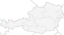
Enjoy this tour in snowy winters and follow the way up from Bodensdorf to the summit of the Gerlitzen Alp.

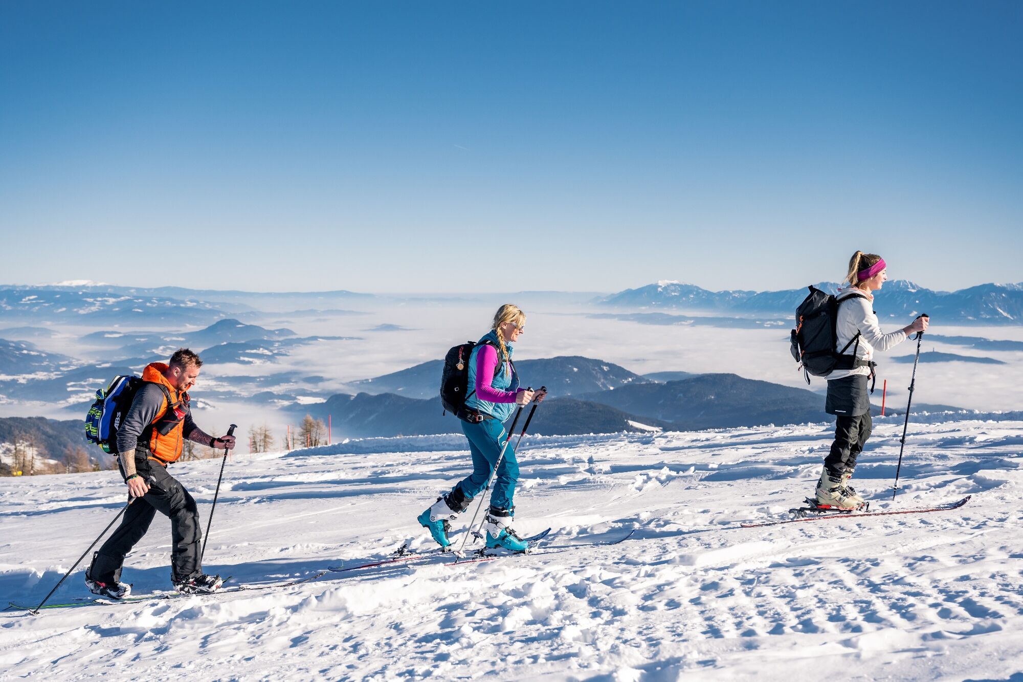

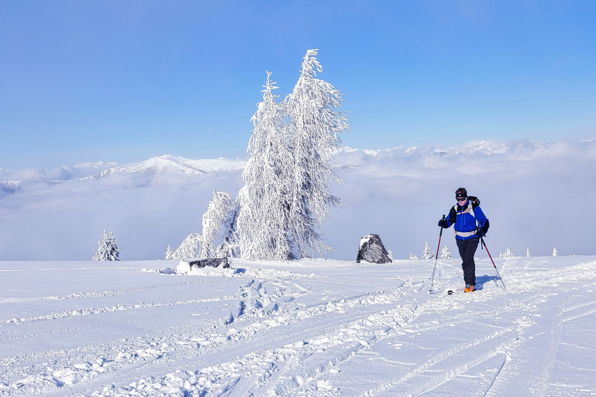

In snowy winters you can start in St. Urban - Tschöran and follow the Burgweg just before you reach the small brook Neßlbach. Follow the course of the Neßlbach in a north-westerly direction and cross the Gerlitzenstraße after a few minutes. Follow the course of the slope down to Bodensdorf until you reach the Birkenhof at 1,344 m. Cross the Gerlitzenstraße one more time before you arrive at the Sepplhütte (snacks and drinks). From here you stay on the side of the ski slope or take the path no. 174 to the Bergeralm at 1,764 m and then take path no. 175 to the summit of the Gerlitzen. Follow the same way back to Bodensdorf.
Skitour equipment (avalanche probe and shovel etc.), ski crampons, changing clothes, hot drinks, firs aid kit and smartphone.
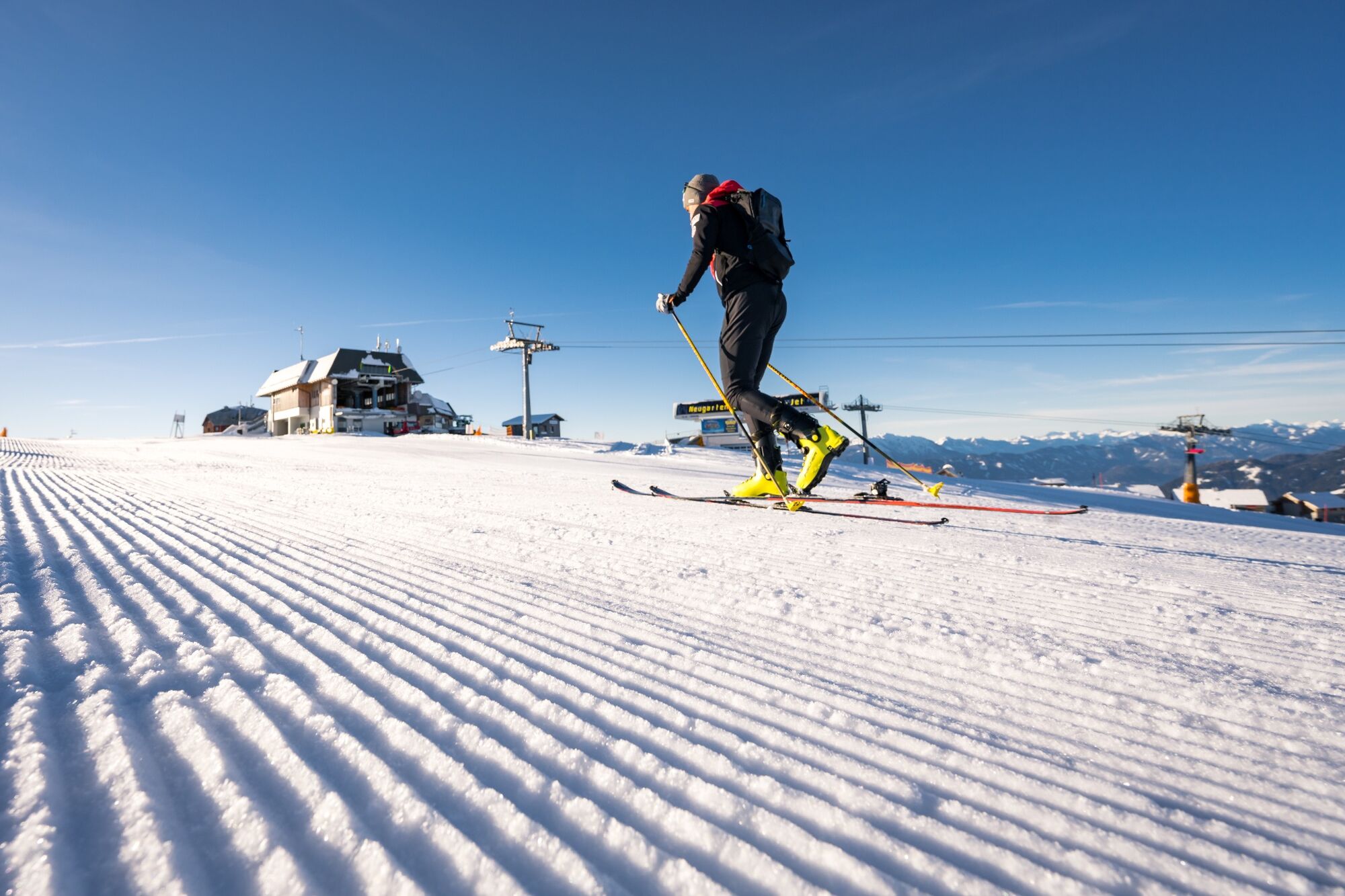
Der weitere Aufstieg zum Gipfel der Gerlitzen ist aus Haftungsgründen im Pistenbereich nicht möglich.
Take the exit Villach - Ossiacher Se on the motorway A10 and then follow the B94 via Annenheim to Bodensdorf.
You can reach Bodensdorf easily by using the ÖBB train line S2.
There are enough parking spaces near the sports field in Tschöran.
The starting point of this tour can also be moved upwards according depending on the snow conditions. Take the Gerlitzen road up to the Gasthof Matthiasl (toll-free!) and leave your car there. From there follow the way no. 3 to Winkl Ossiachberg. After approximately 20 minutes you will reach the junction towards Birkenhof.
Webové kamery z prohlídky
Gerlitzen Gipfel
Gerlitzen Gipfel
Gerlitzen Gipfel
Gerlitzen Gipfel
Ossiach/Ossiachersee
Ossiach/Ossiachersee
Ossiach/Ossiachersee
Ossiach/Ossiachersee
Ossiach/Ossiachersee
Ossiach/Ossiachersee
Annenheim/Ossiacher See
Gerlitzen Gipfel
Hotel SeeRose
Ossiacherberg
Bodensdorf am Ossiacher See
Bodensdorf am Ossiacher See
Oblíbené prohlídky v okolí
- 4.4
Finsterbach Waterfalls - Circular route
středníTuristika 3.87 km - 4.2
Slow Trail Bleistätter Moor (Variant A)
světloTuristika 7.22 km - 4.9
4 Huts Route
středníTuristika 8.96 km - 3.9
Lake Ossiach cycle path - R2 and R2A
středníJízda na kole 28.2 km - 4.3
Lake circular trail
světloNordic Walking 9.85 km - 3.8
Forstsee Route
světloTuristika 4.26 km - 4.6
Hoher Gallin route
středníTuristika 7.09 km - 4.5
Oswaldiberg St.Ruprecht
středníTuristika 6.69 km - 4.5
Wasserfälle
středníTuristika 2.48 km - 4.5
Traumbogen circular route
světloTuristika 4.26 km

Pěší turistika a stopování


Nenechte si ujít nabídky a inspiraci pro vaši příští dovolenou
Vaše e-mailová adresa byl přidán do poštovního seznamu.