


Dobratsch - Heiligengeist to Rosstratte
Fotografie našich uživatelů

 © Günter SmoleVytvořeno dne 28.12.2025
 © travellasseVytvořeno dne 20.02.2025
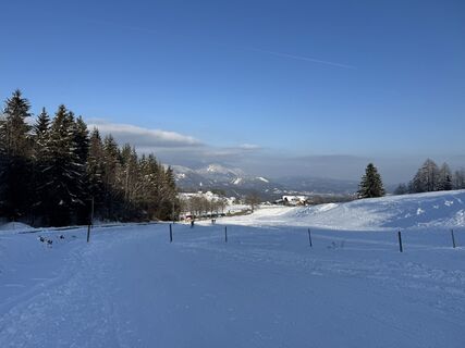 © AloisBauerVytvořeno dne 19.02.2025
 © AloisBauerVytvořeno dne 19.02.2025
 © AloisBauerVytvořeno dne 19.02.2025
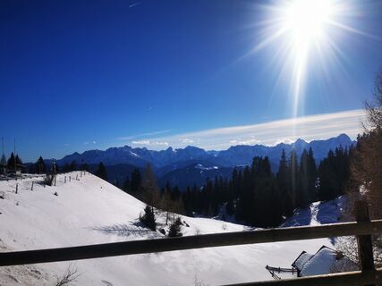
 © ReinspergerVytvořeno dne 25.01.2024
 © ReinspergerVytvořeno dne 06.12.2022
 © gdogVytvořeno dne 16.02.2025
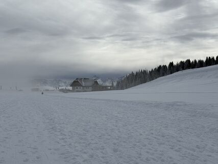 © gdogVytvořeno dne 16.02.2025
 © Štefan JenkoVytvořeno dne 17.04.2026
 © Florian HoVytvořeno dne 05.02.2026
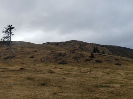 © Ronald HanserVytvořeno dne 16.11.2025
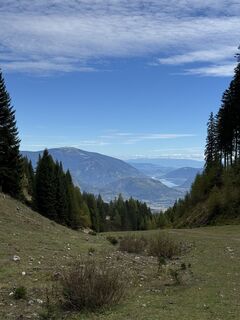
 © Matthias RathVytvořeno dne 08.10.2025
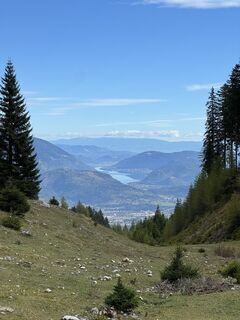 © Matthias RathVytvořeno dne 08.10.2025
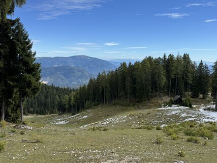 © Matthias RathVytvořeno dne 08.10.2025
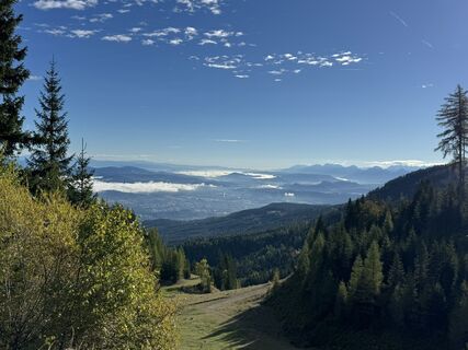 © Matthias RathVytvořeno dne 08.10.2025
 © Matthias RathVytvořeno dne 08.10.2025
 © Matthias RathVytvořeno dne 08.10.2025
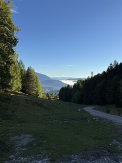 © Matthias RathVytvořeno dne 08.10.2025
 © gerald klausVytvořeno dne 12.04.2025
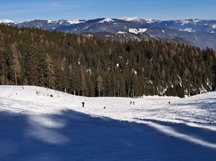
 © Daniela König 1Vytvořeno dne 21.02.2025
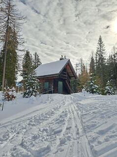 © Daniela König 1Vytvořeno dne 21.02.2025
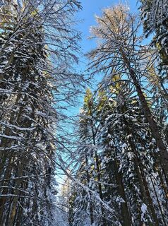 © Daniela König 1Vytvořeno dne 21.02.2025
 © Daniela König 1Vytvořeno dne 21.02.2025
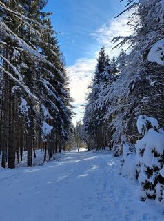 © Daniela König 1Vytvořeno dne 21.02.2025
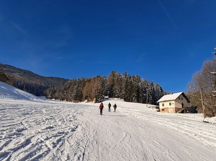 © Daniela König 1Vytvořeno dne 21.02.2025
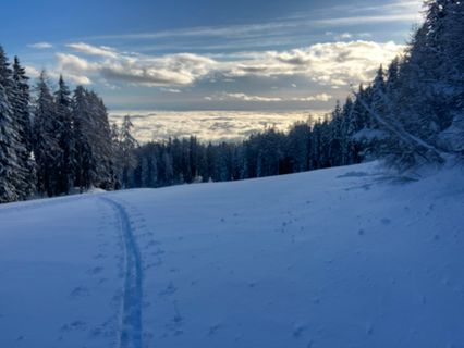
 © Klaus GrambichlerVytvořeno dne 24.02.2024
 © Klaus GrambichlerVytvořeno dne 24.02.2024
 © Richard ForchtnerVytvořeno dne 06.12.2021
 © Richard ForchtnerVytvořeno dne 06.12.2021
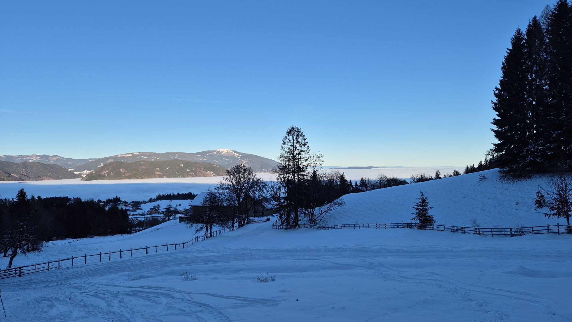
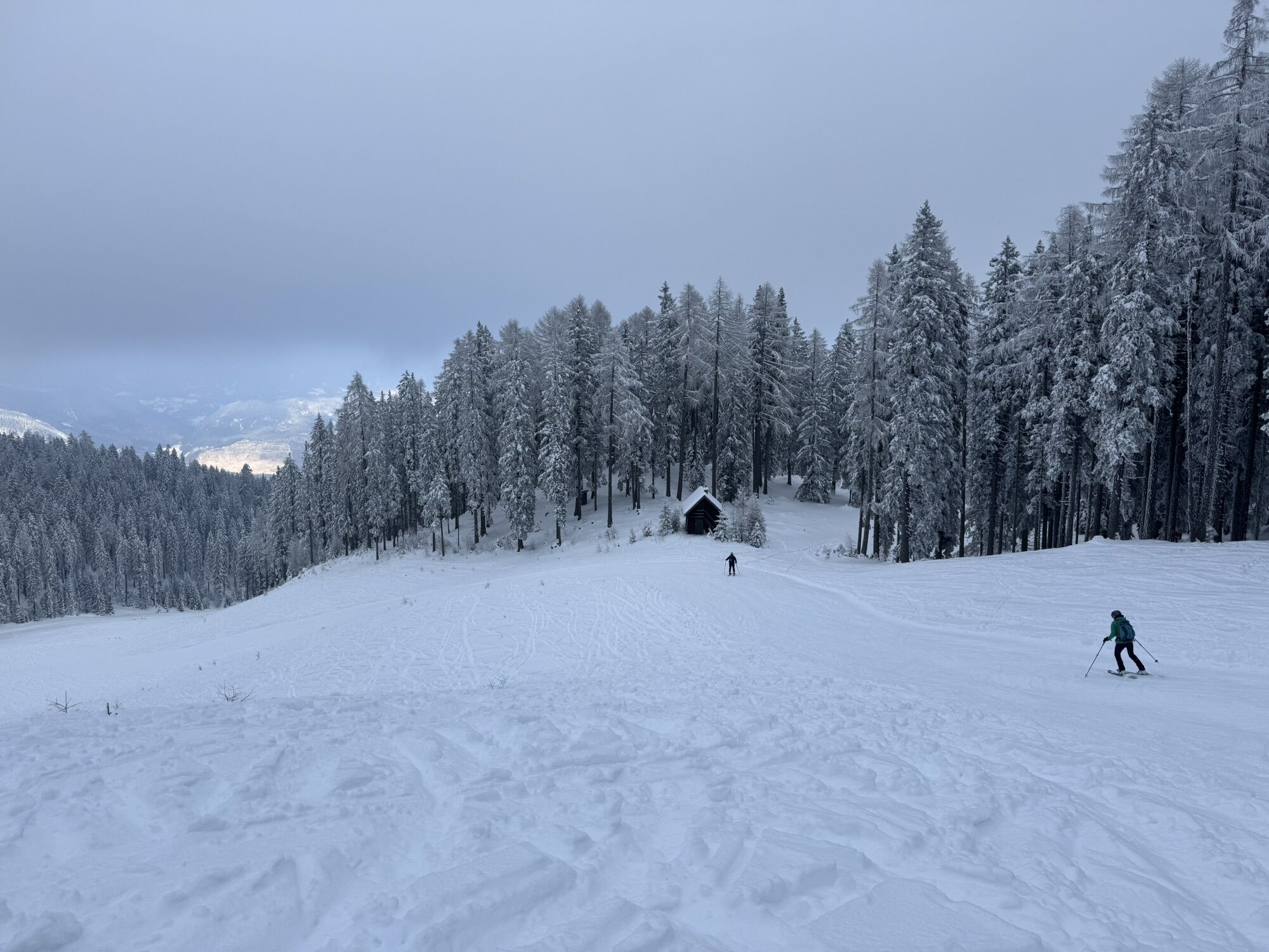


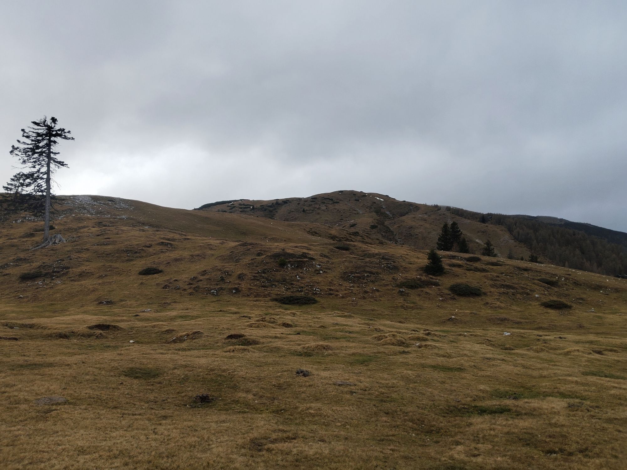


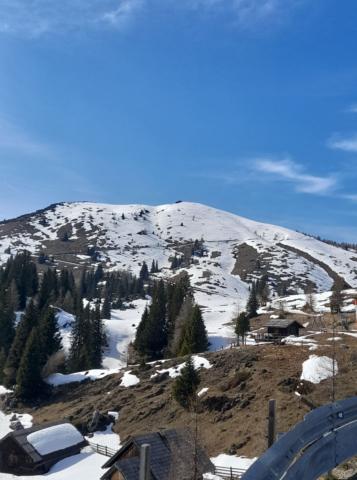


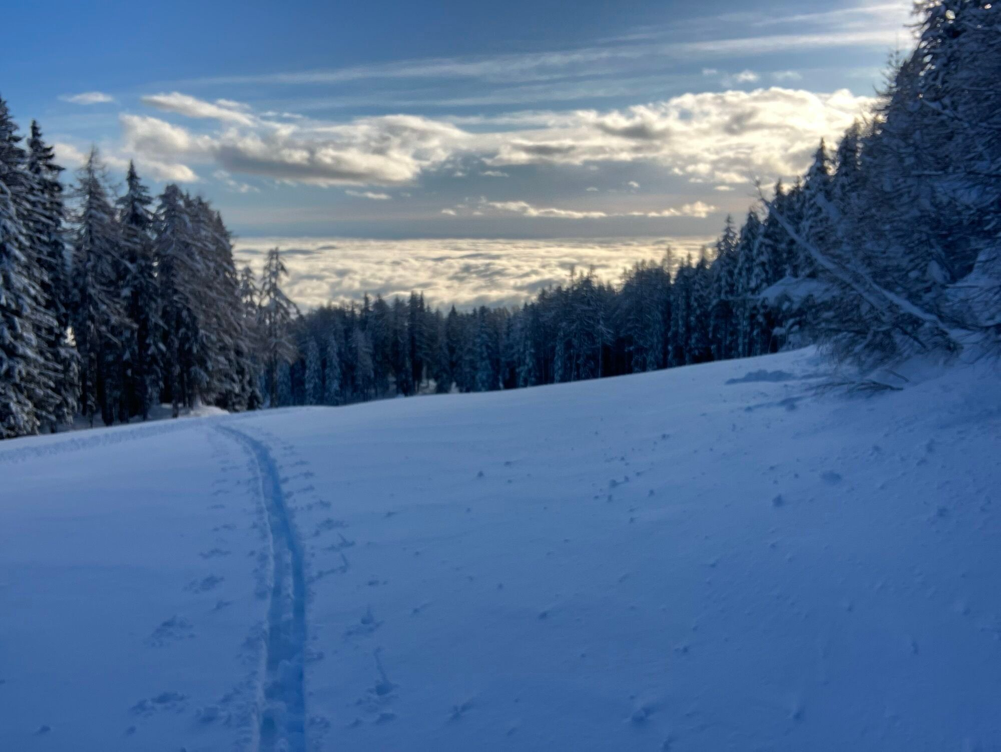

The Dobratsch - THE ski tour mountain of Carinthia
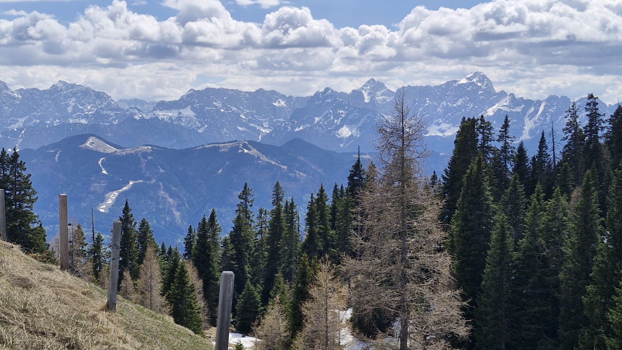
The Dobratsch Nature Park is a true paradise for ski tourers. Here you will find beautiful tours, will be rewarded with unique views, and afterwards you...
The Dobratsch - THE ski tour mountain of Carinthia
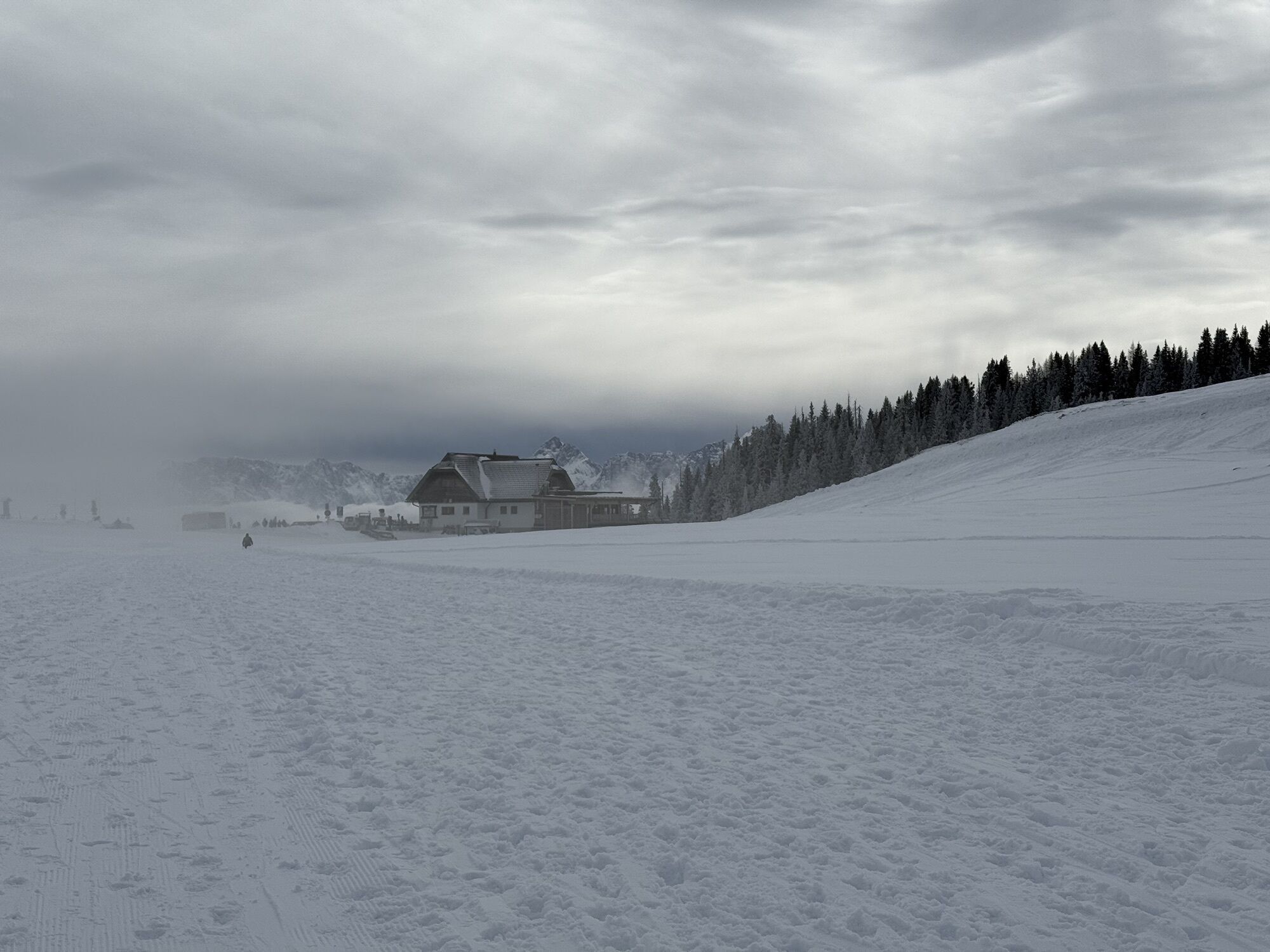
The Dobratsch Nature Park is a true paradise for ski tourers. Here you will find beautiful tours, will be rewarded with unique views, and afterwards you can enjoy delicious Carinthian delicacies in one of the popular huts.In the nature park Dobratsch you will find numerous comfortable tours with easy, moderate ascents. The starting point for the Dobratsch ski tour is Heiligengeist.


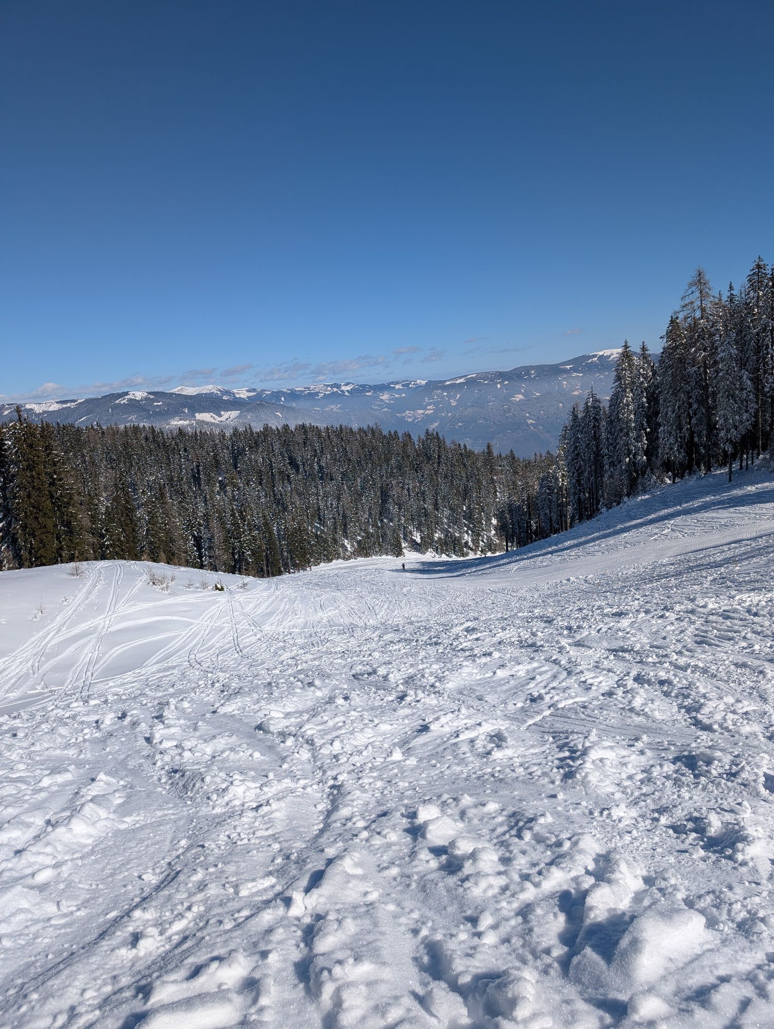
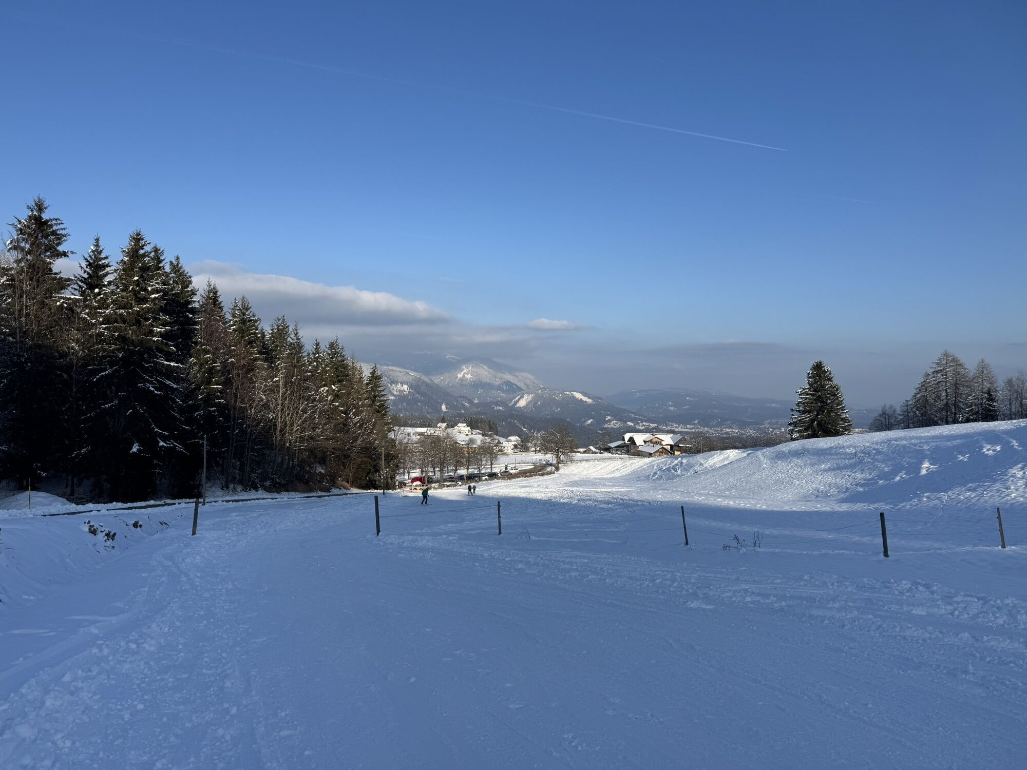
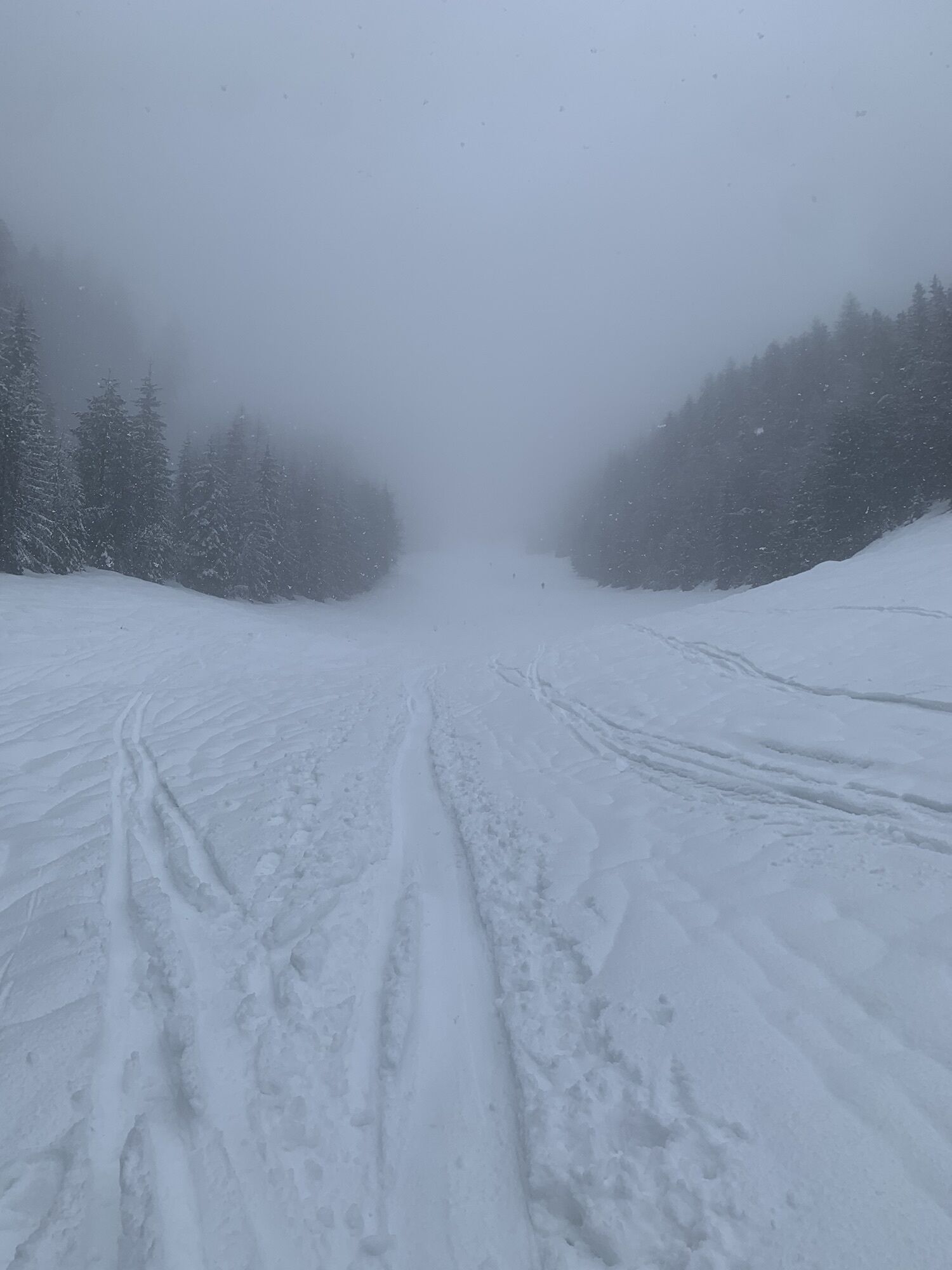
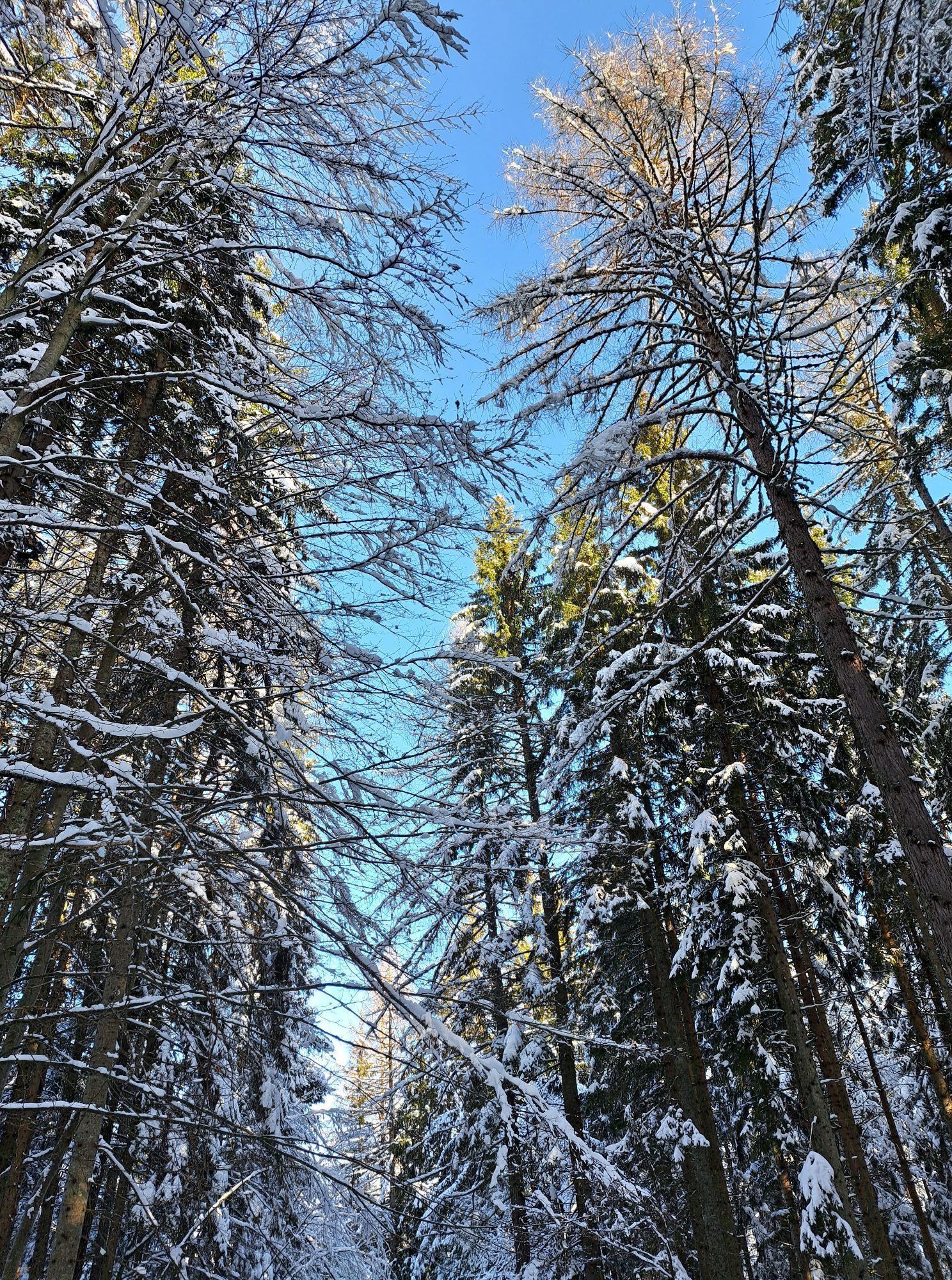
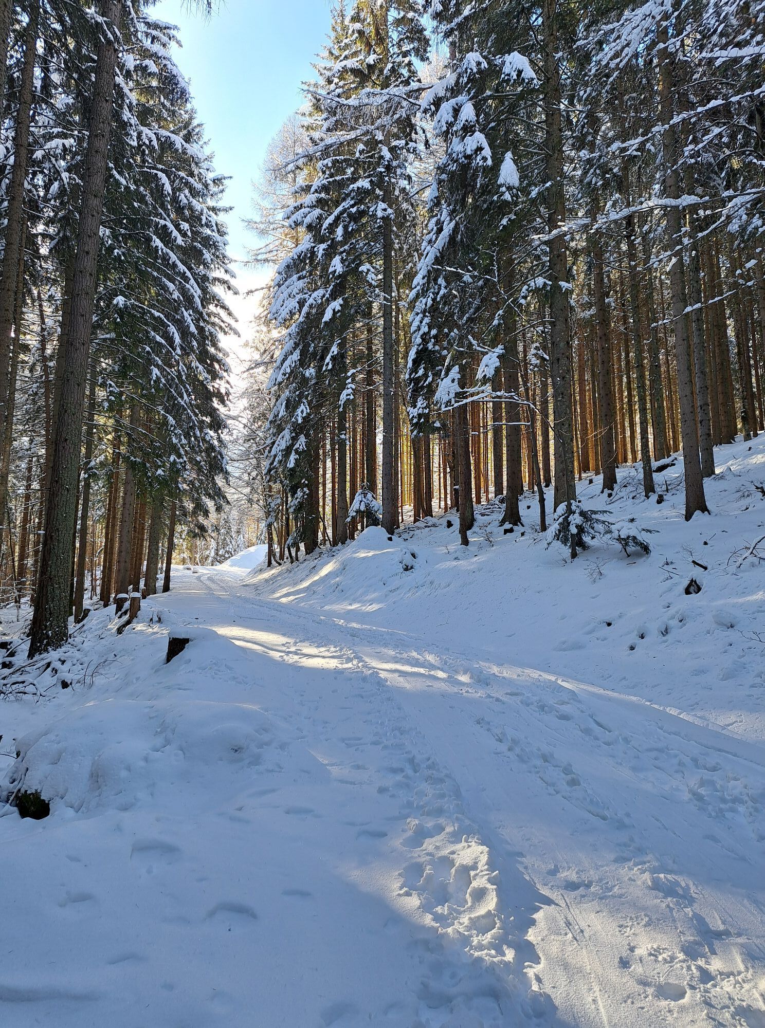
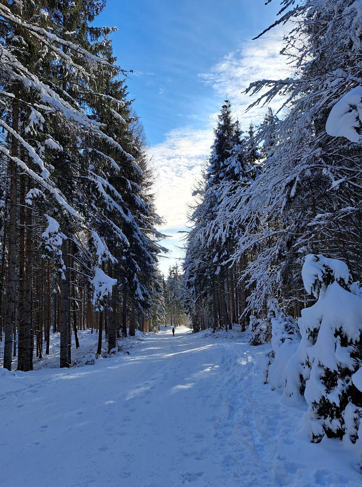
From the parking lot Heiligengeist you start in a pleasant gradient to the right of the former ski slope until from the right the so-called "family descent" tires in. Here you turn right and in a few minutes you reach the turn-off to path no. 291. After the forest ascent, the path leads back into the flat slope at Waagtal. From here, one follows the free areas in one's own choice of track and passes the unmanaged Ottohütte at 1543 m. Exactly 200 metres of altitude difference are from here to the Rosstratte with its panoramic views, which becomes a pleasure in easy terrain. The descent leads to the Waagtal via the ascent track. From Waagtal you can choose between the former V73 piste and the already mentioned family descent to return to the starting point.
Ski touring equipment (avalanche transceiver, probe, avalanche shovel), change of clothes, warm drink, first aid, mobile phone
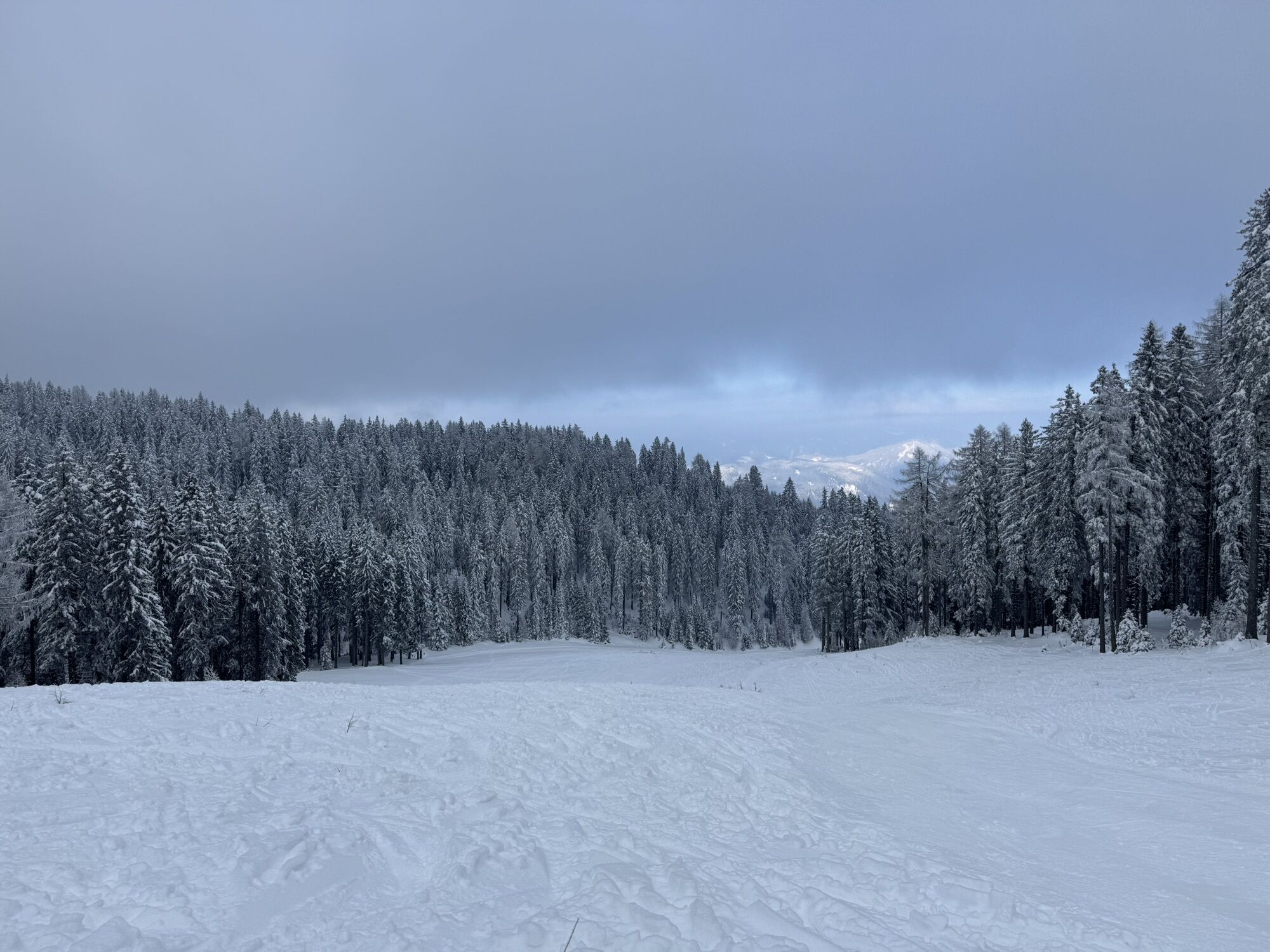
Please enjoy your ski tours on the prepared ascents and descents, away from the natural zones. The NATURZONE (see table at the starting point) should not be entered because of the capercaillie, snow grouse and black grouse populations. Driving on young forests (under 3 m trunk height) is forbidden according to forest law!
Heiligengeist is best reached via the A10 exit "Villach-West" - from there follow the signs to Bad Bleiberg. In Heiligengeist turn left to the car park.
Heiligengeist is best reached from Villach main station by bus from the companies Ebner and Wiegele.
At the parking lot in Heiligengeist there are enough parking possibilities.
Oblíbené prohlídky v okolí
- 4.5
Auf den Dobratsch mit der ganzen Familie
Turistika 8.40 km - 4.8
Jezera Fusine
světloTuristika 5.43 km - 4.9
Orrido dello Slizza, Tarvisio, Italië
světloTuristika 2.65 km - 4.7
Gailtaler Alpen: Wanderung auf der Dobratsch
středníTuristika 8.50 km - 4.5
Oswaldiberg St.Ruprecht
středníTuristika 6.69 km - 3.8
Dobratsch über den Jägersteig
Turistika 4.30 km - 4.7
Weißenfelser Seen: Fusine in Valromana - Ai Sette Nani - Seealm
středníTuristika 10.3 km - 5.0
Amberg: Palnock 1901m, Schwarzsee, Rundstrecke
středníTuristika 7.94 km - 3.9
Gerlitzen - Hüttersteig
heavyTuristika 6.80 km - 4.4
Gerlitzen- Hüttersteig
středníTuristika 5.07 km
Pěší turistika a stopování


Nenechte si ujít nabídky a inspiraci pro vaši příští dovolenou
Vaše e-mailová adresa byl přidán do poštovního seznamu.