







ST_N3 Rauchkofel (2,460 m)
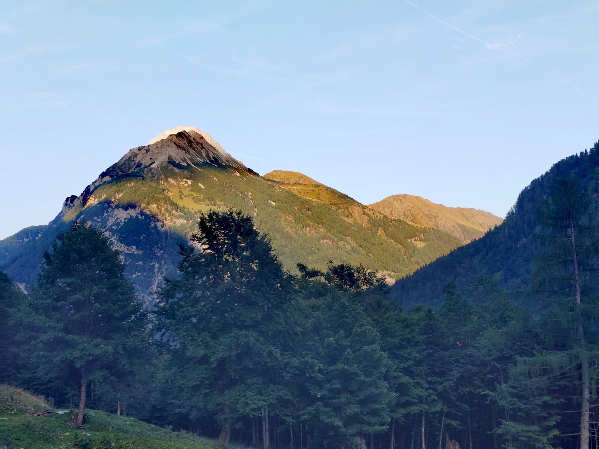
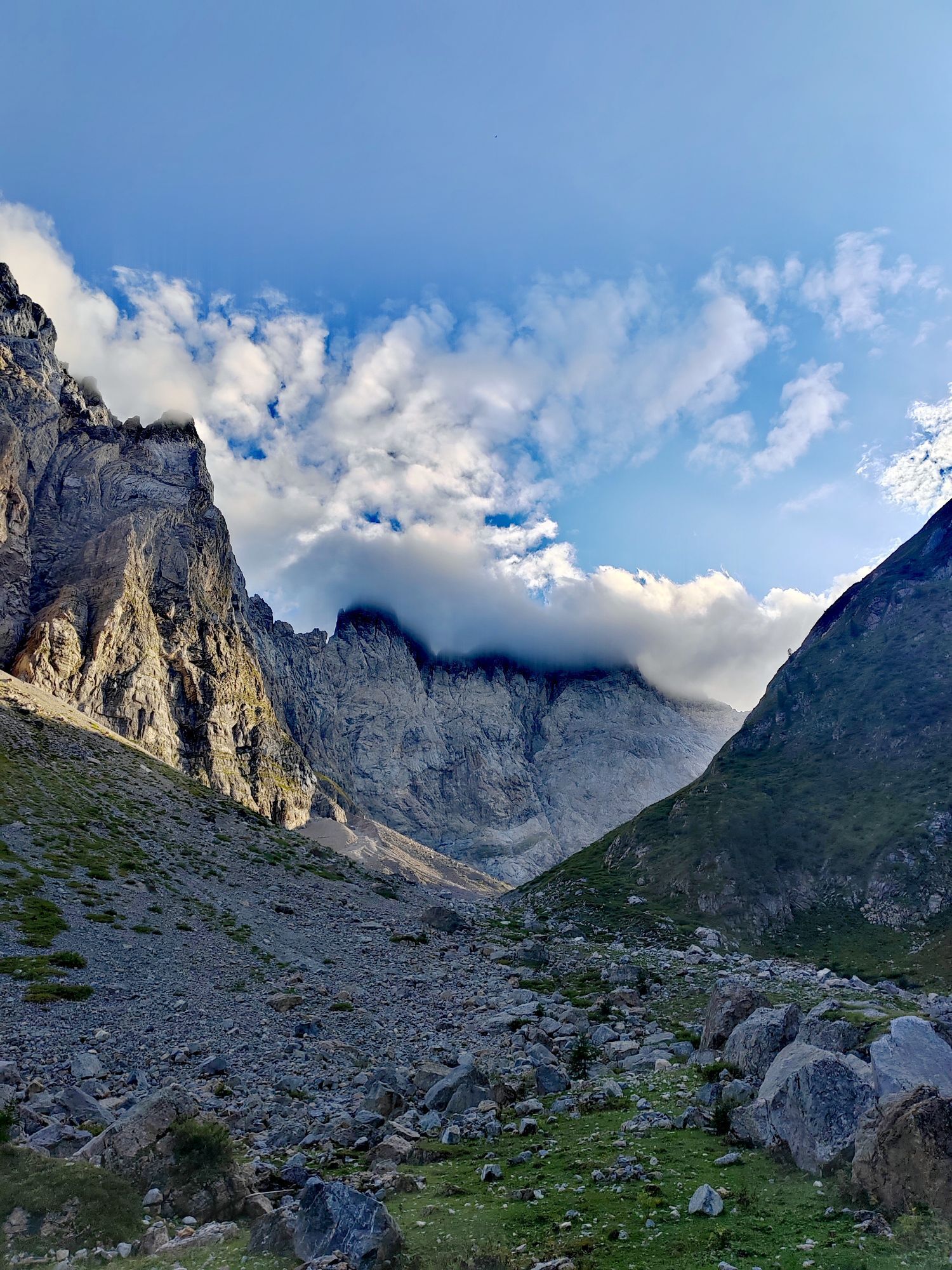
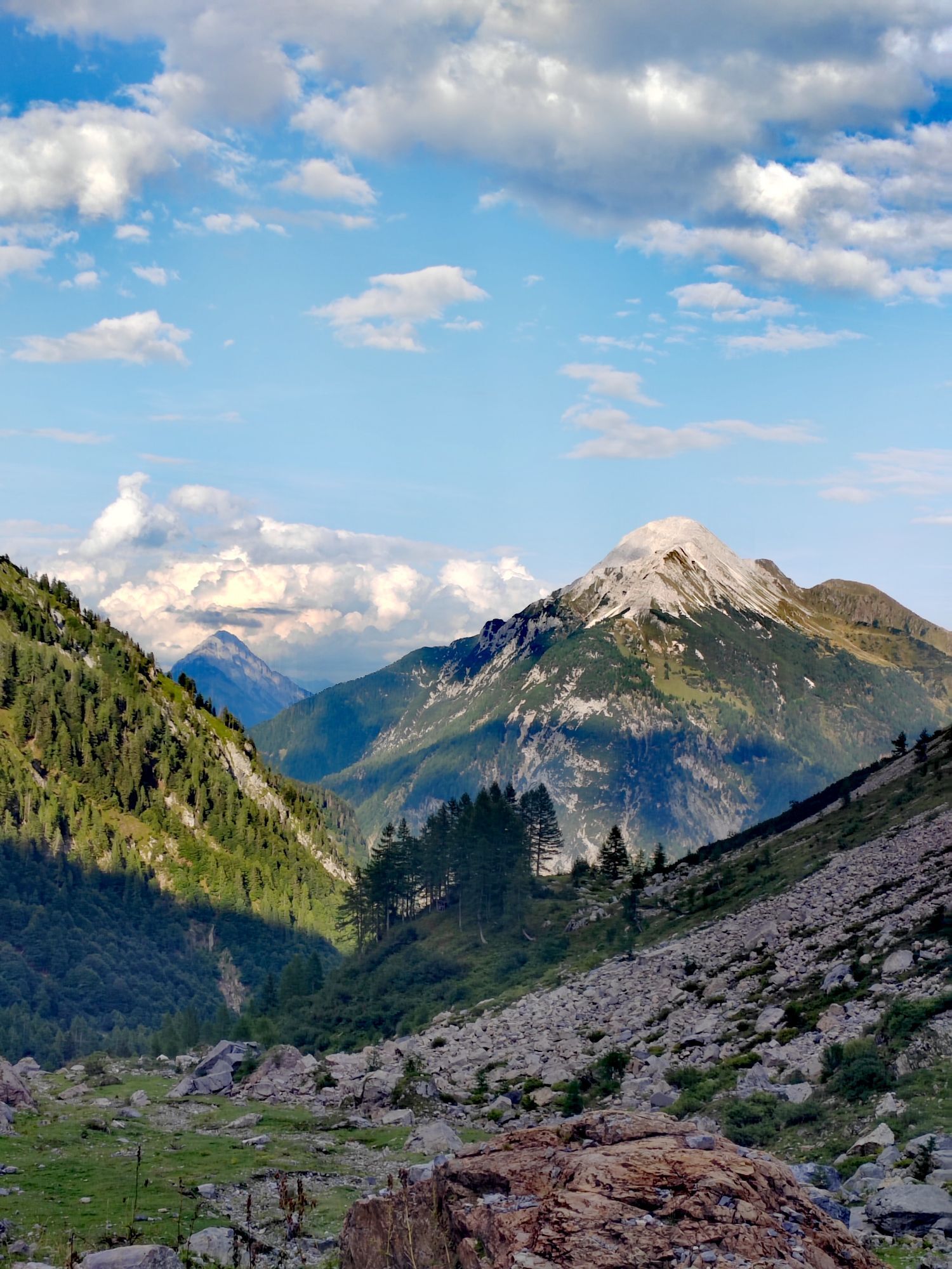
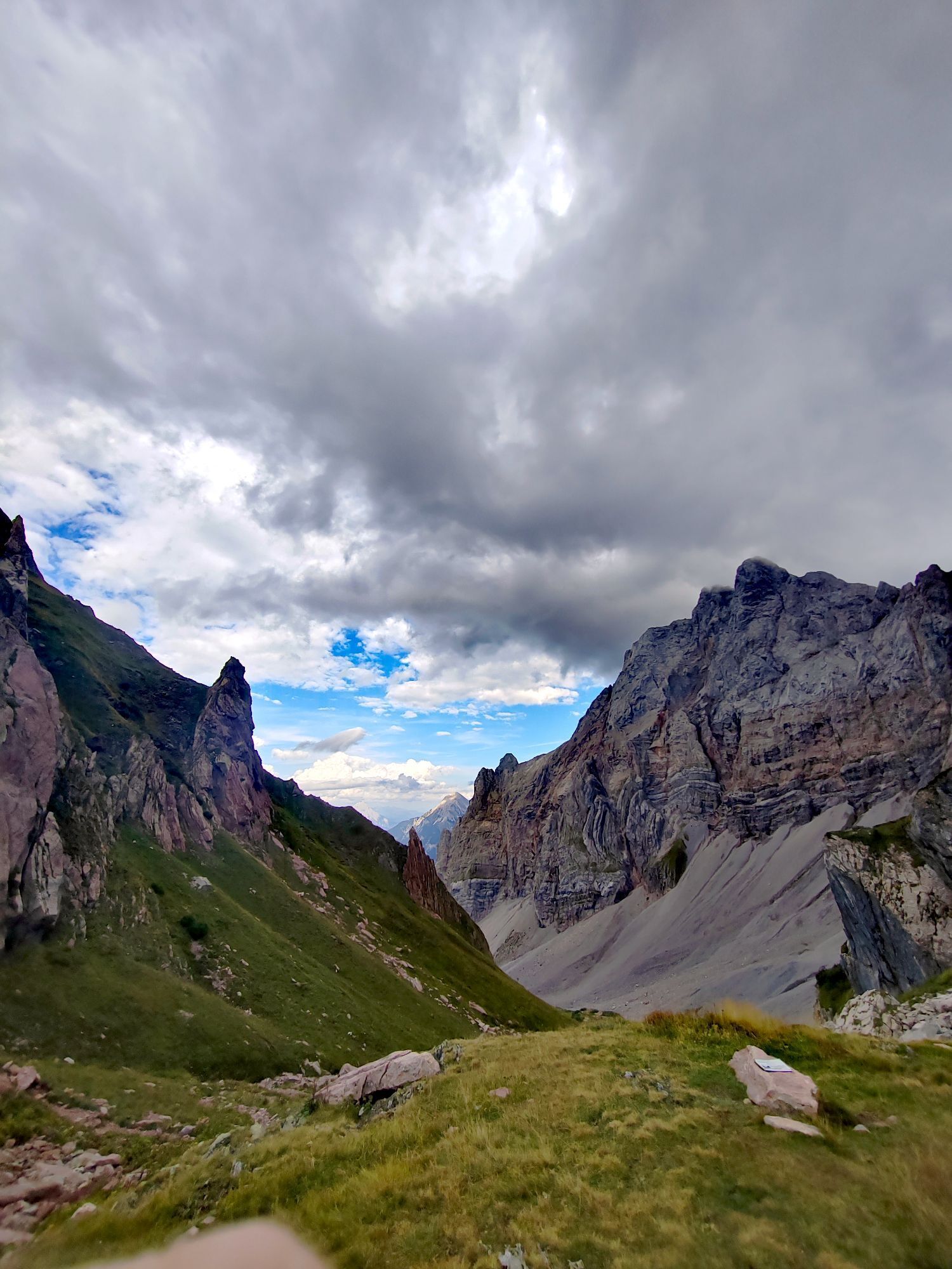
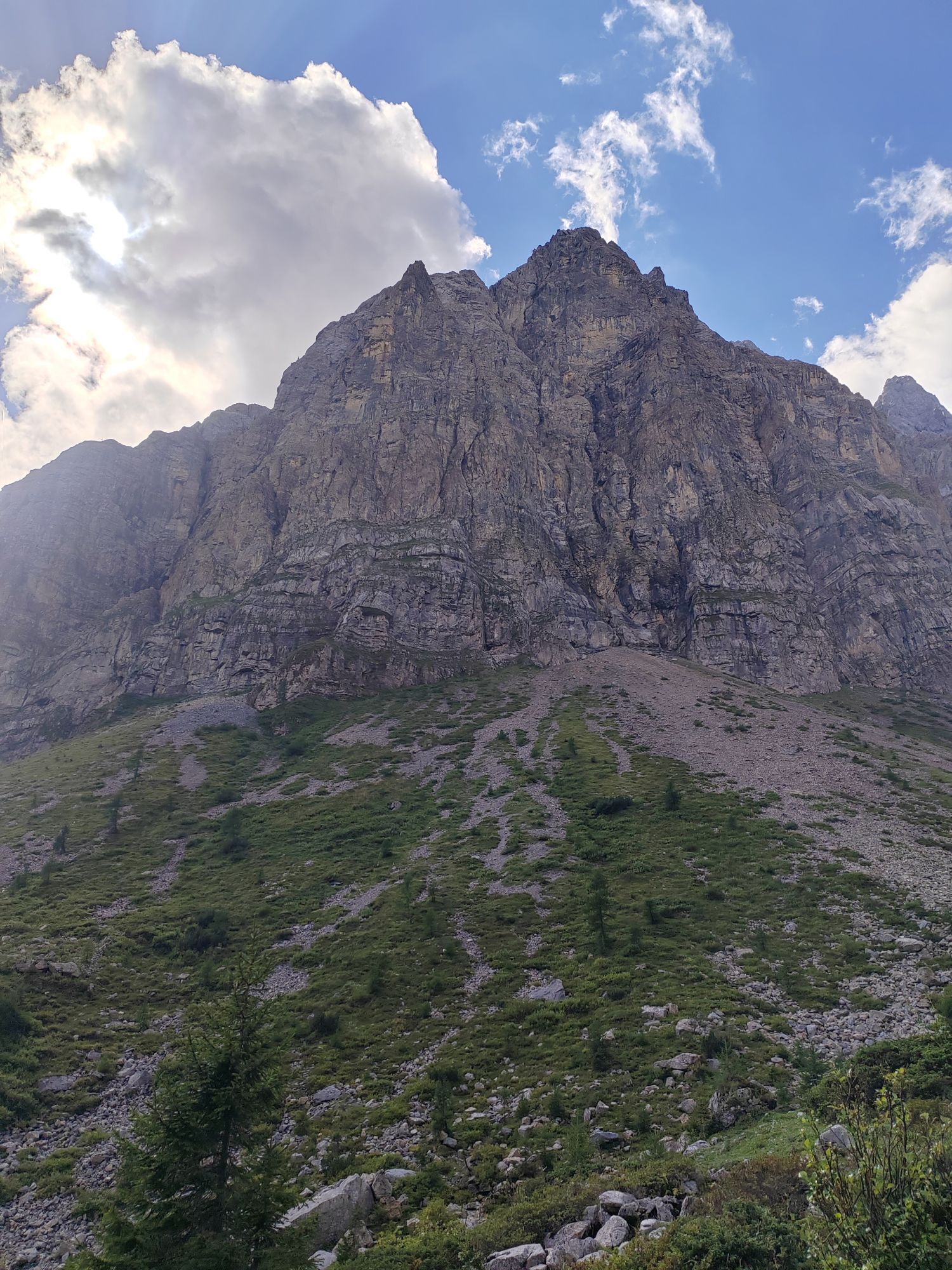
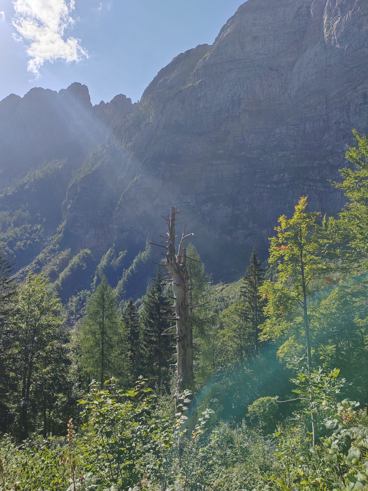
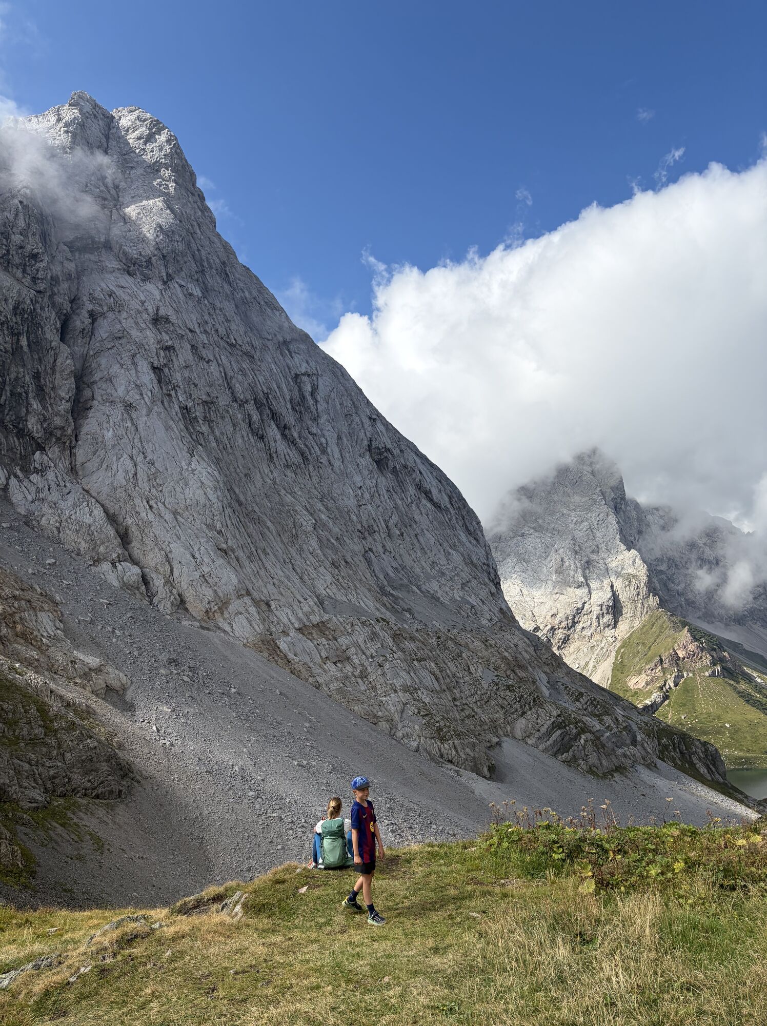
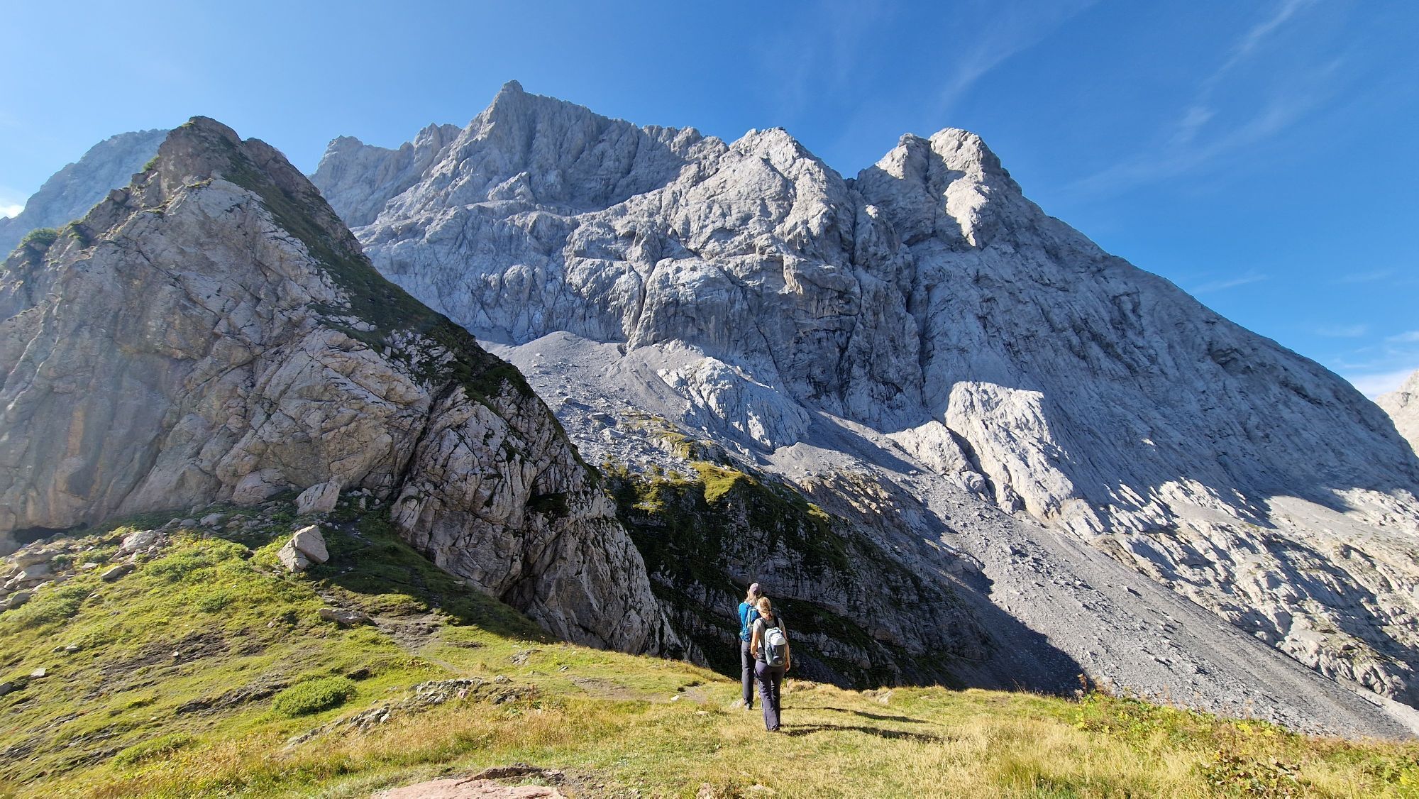
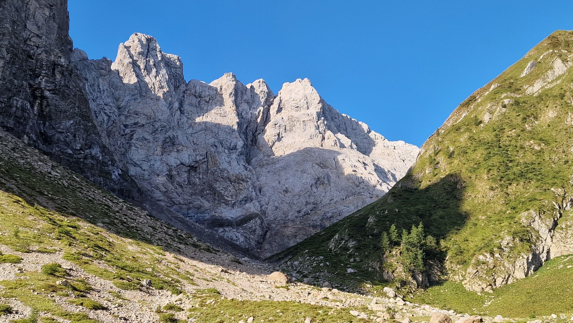
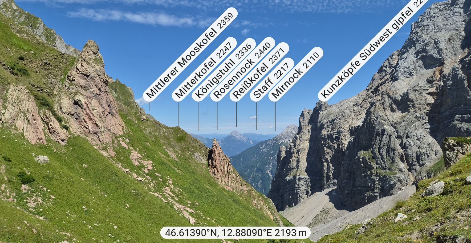
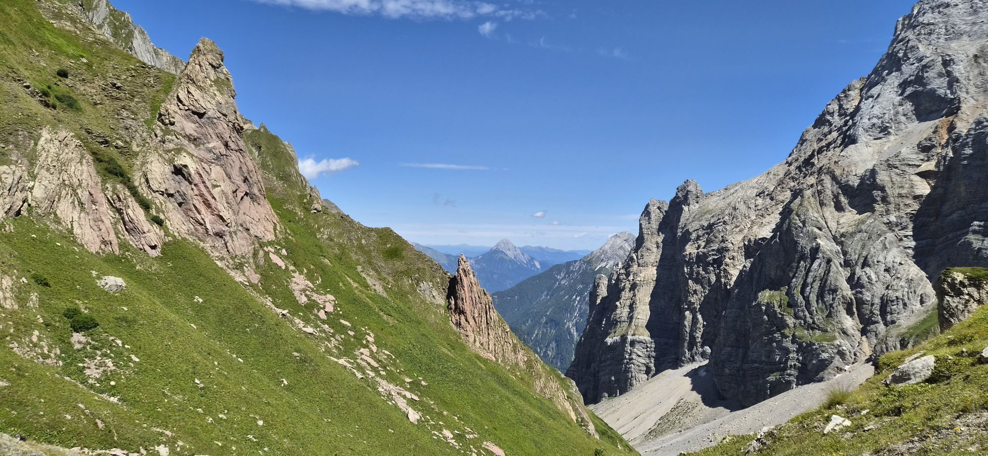
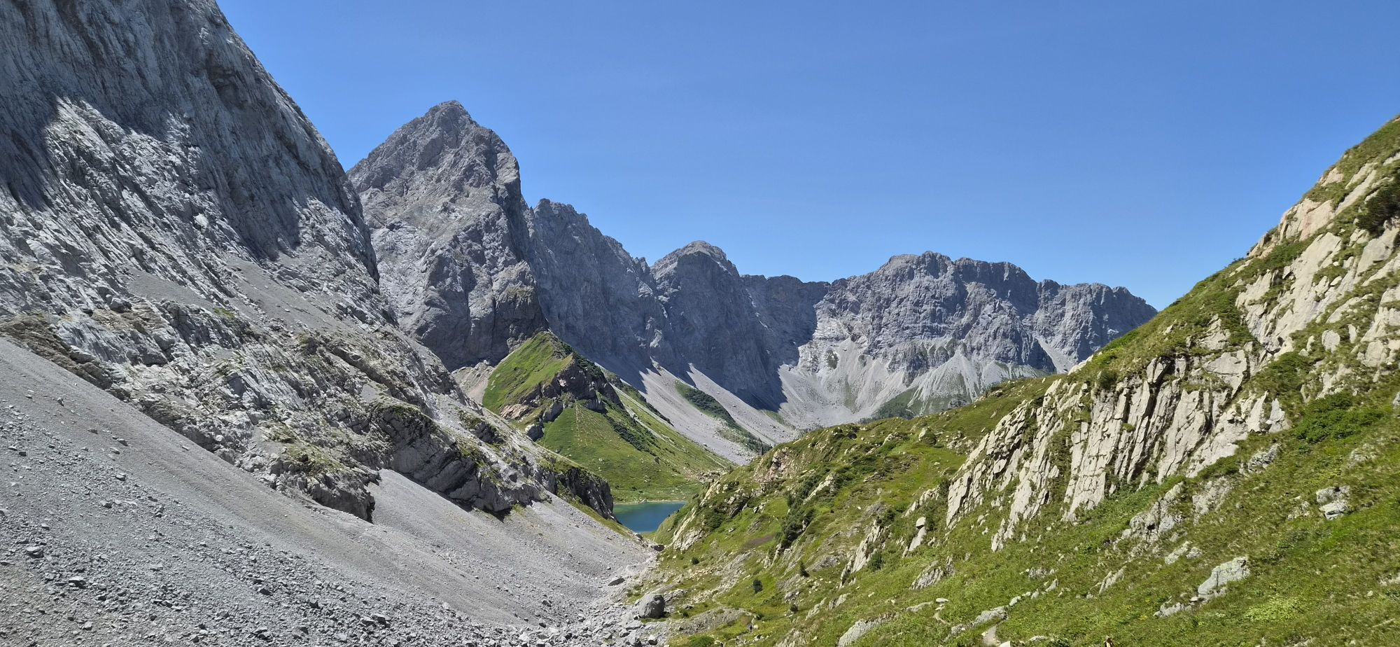
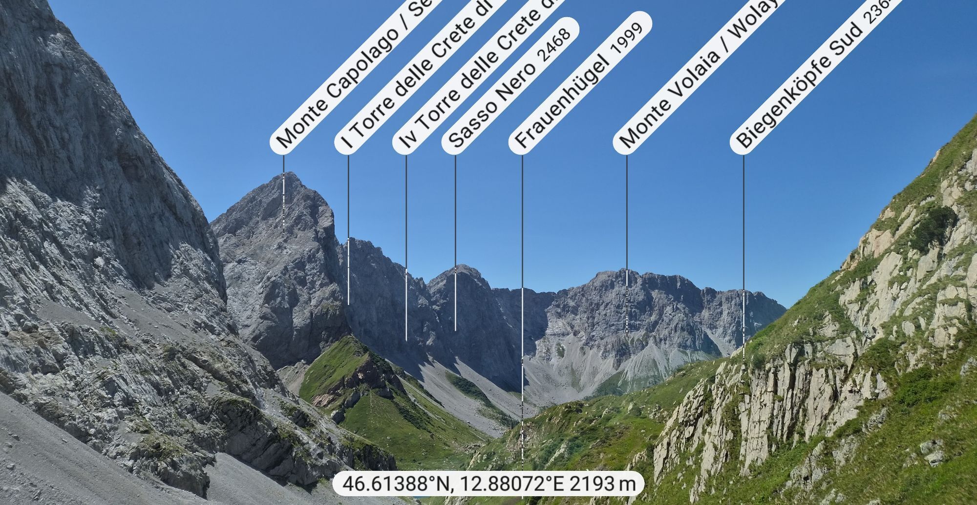




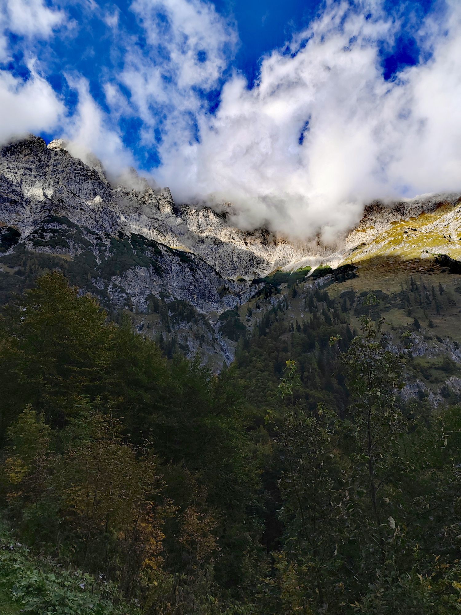
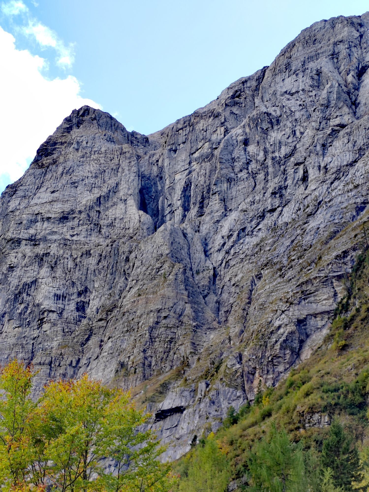


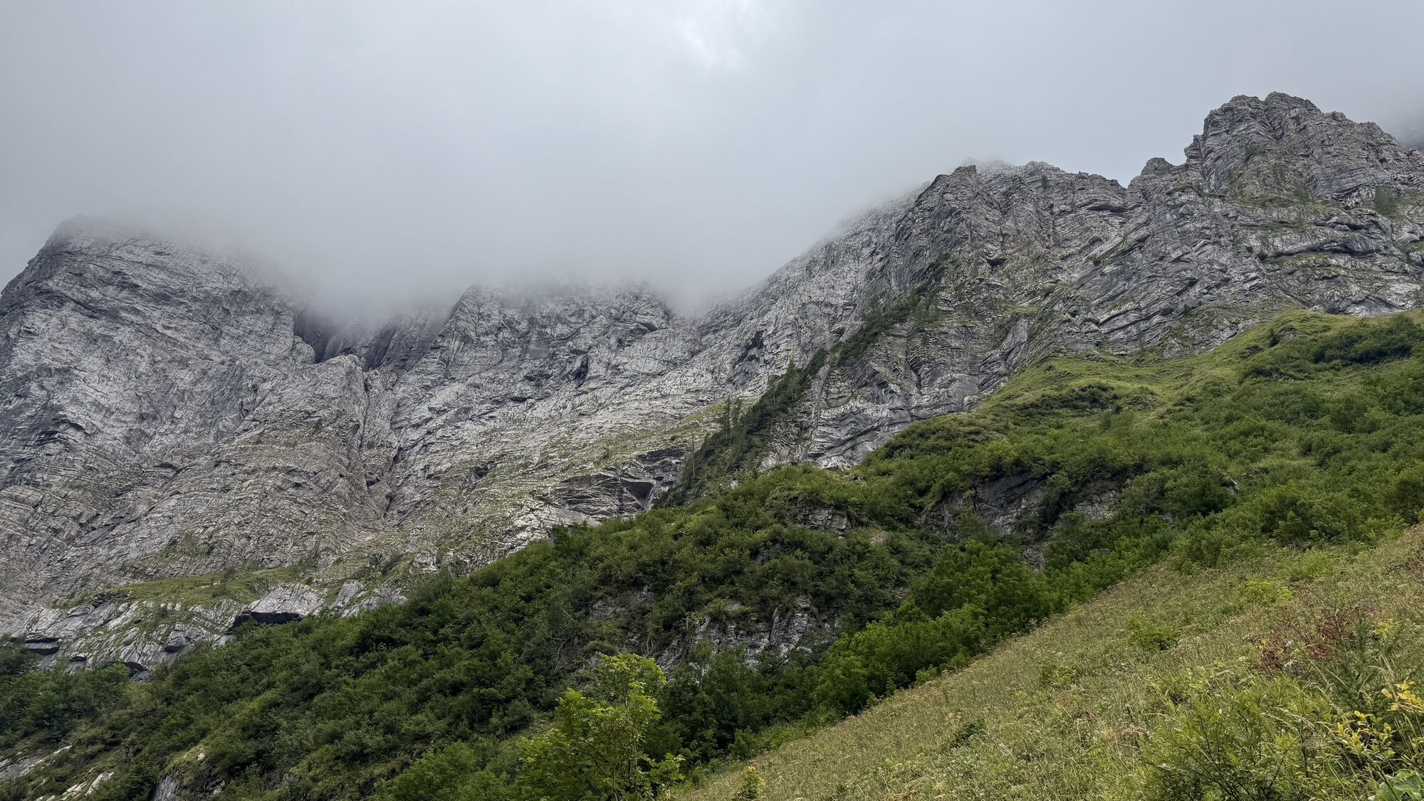
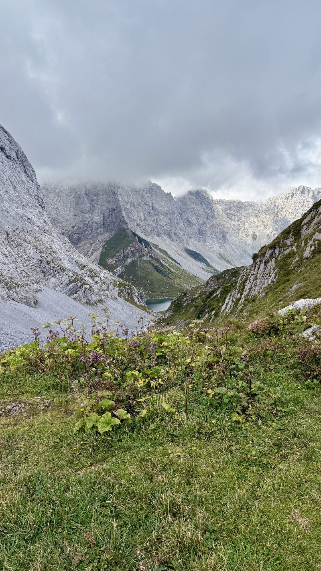
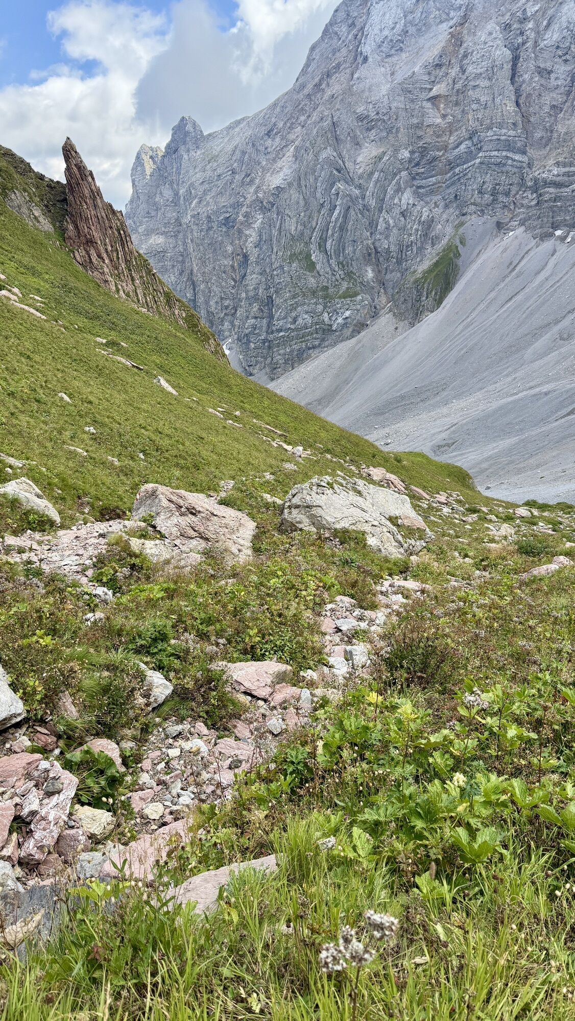


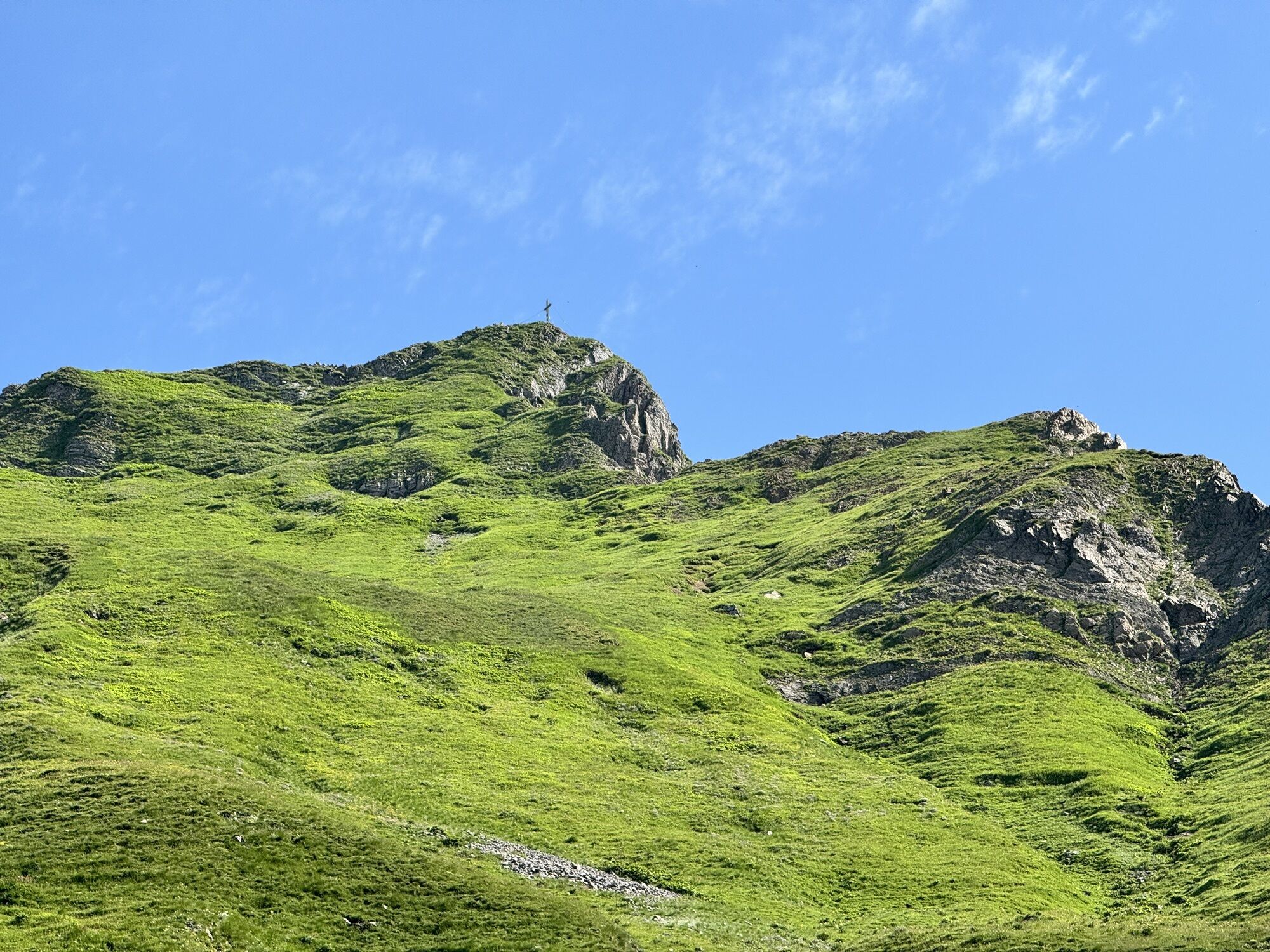

The challenging ski route to Rauchkofel convinces with a varied ascent, impressive summit panorama, and a rewarding descent over open slopes.

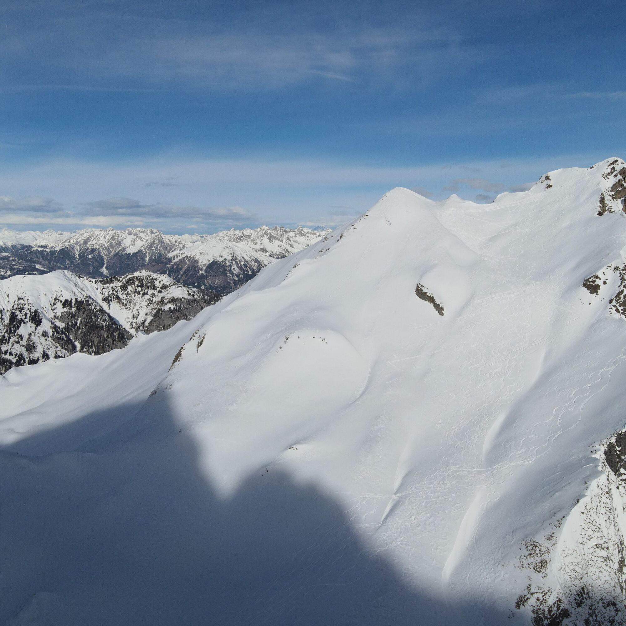

Starting from the car park, you walk for a few meters up the B110 towards Plöckenpass, then turn right onto the forest road towards Untere Valentinalm.
You now follow a stretch of the forest road and after the bridge turn left onto the summer path (shortcut), reaching the forest road again after a few minutes, which you continue uphill.
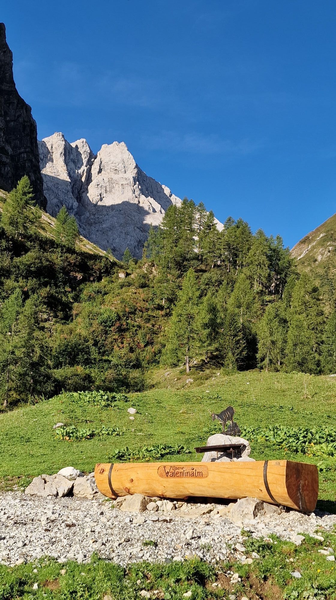
You pass Untere Valentinalm (1,220m) along the forest road, stay on this forest road, and after a few shortcuts along the summer trails, reach Obere Valentinalm (1,540m).
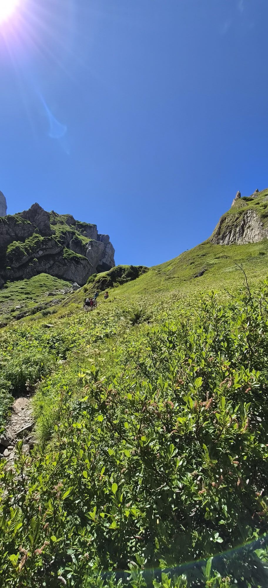
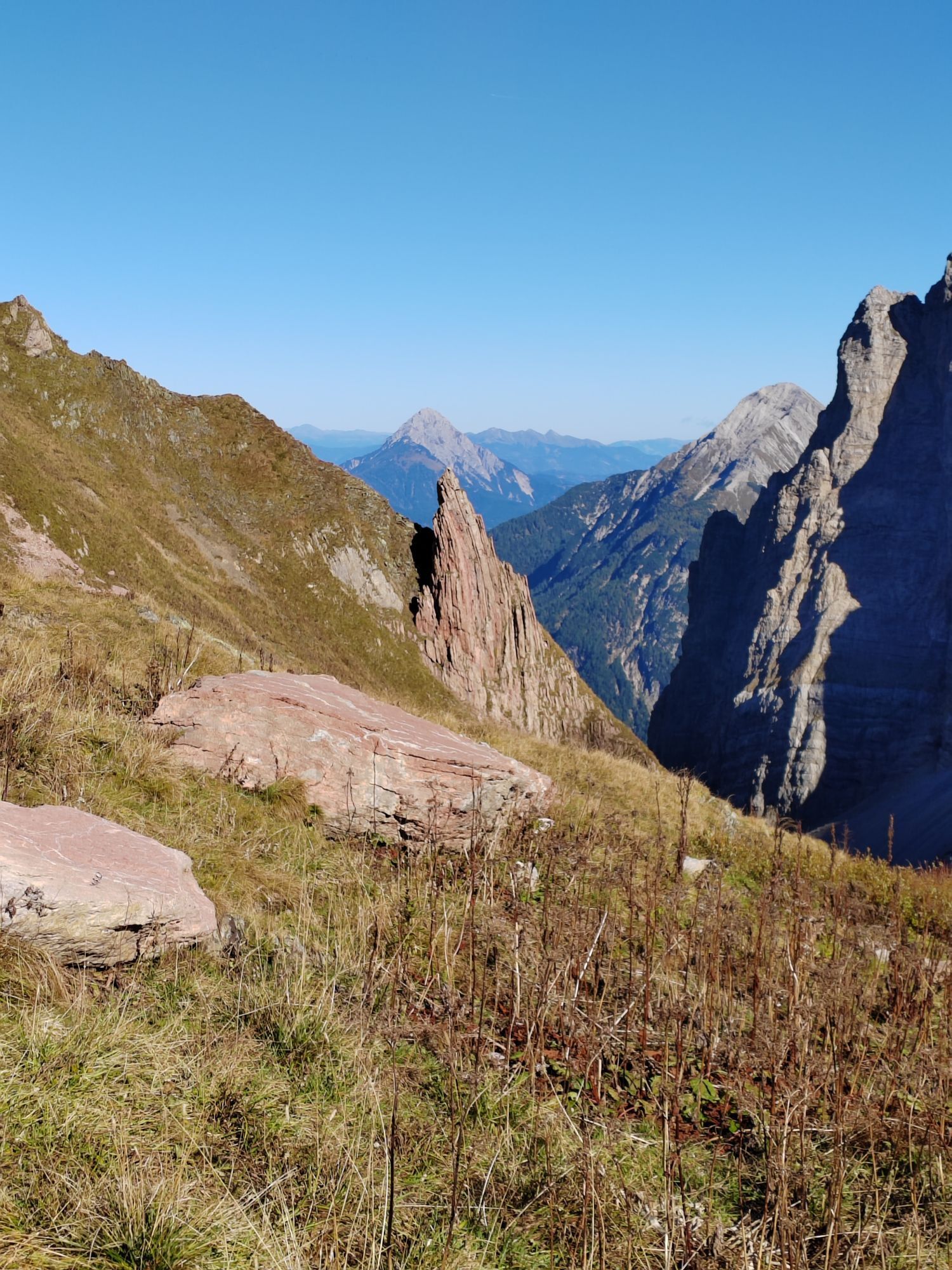
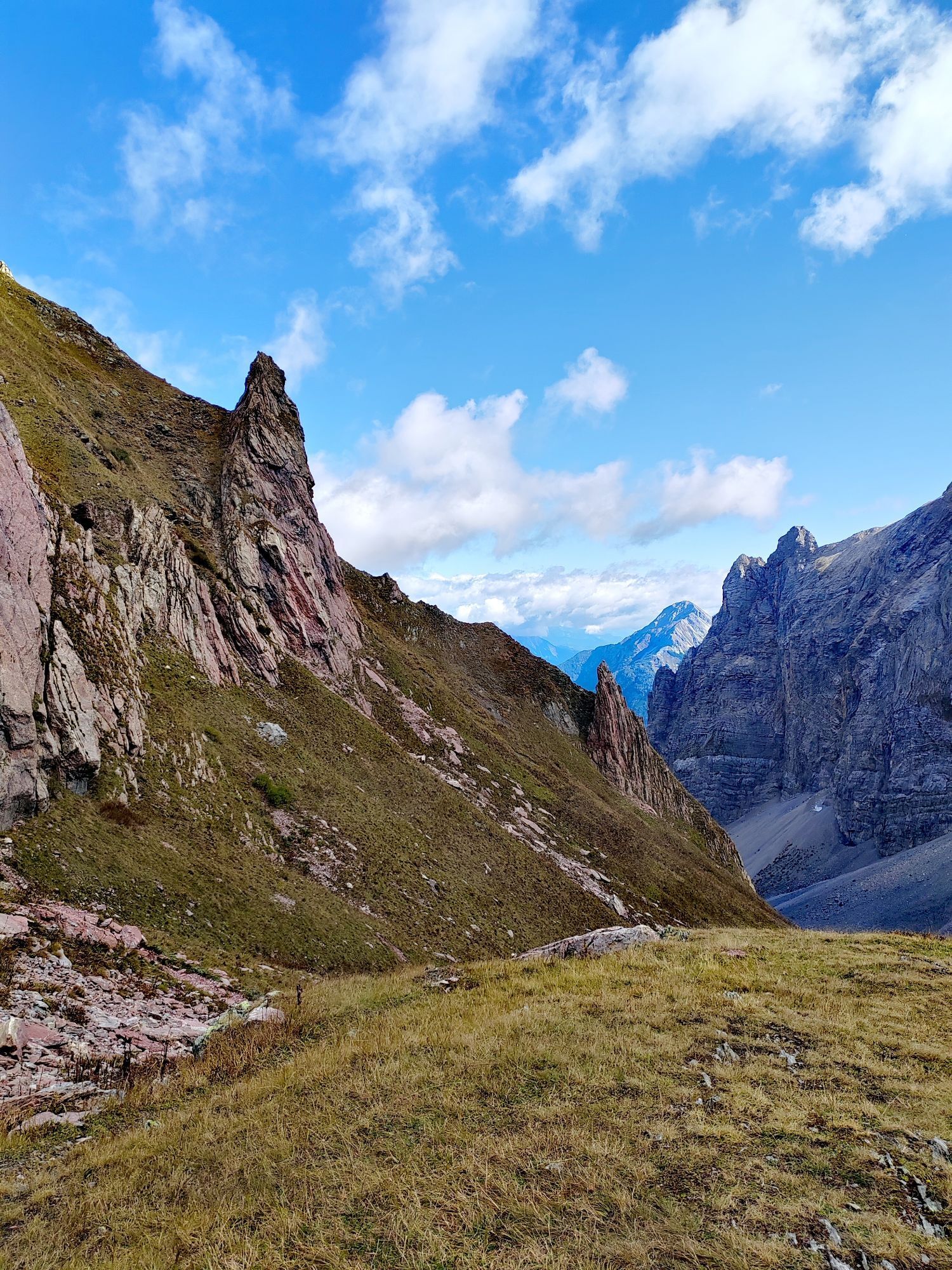
From here your ascent continues westwards in open terrain until you notice a "distinct left bend" (around 1,650m – outcrop of Rauchkofel).
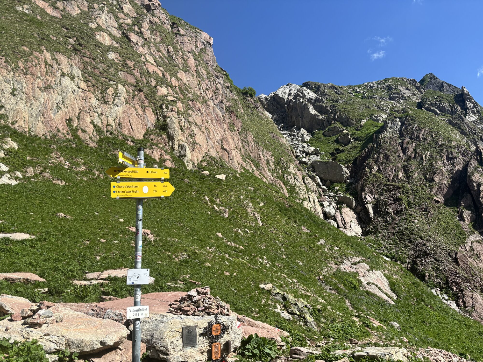
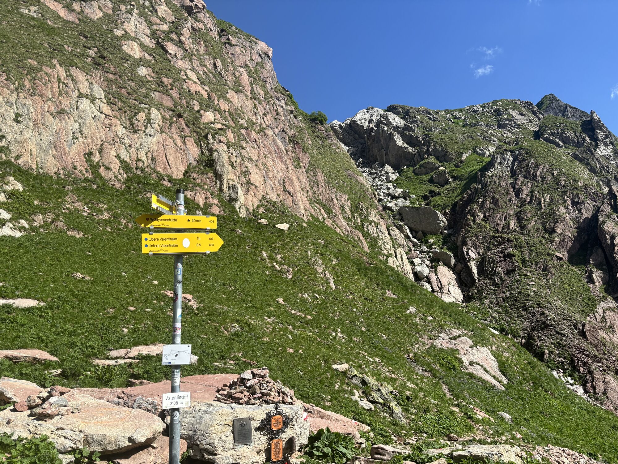
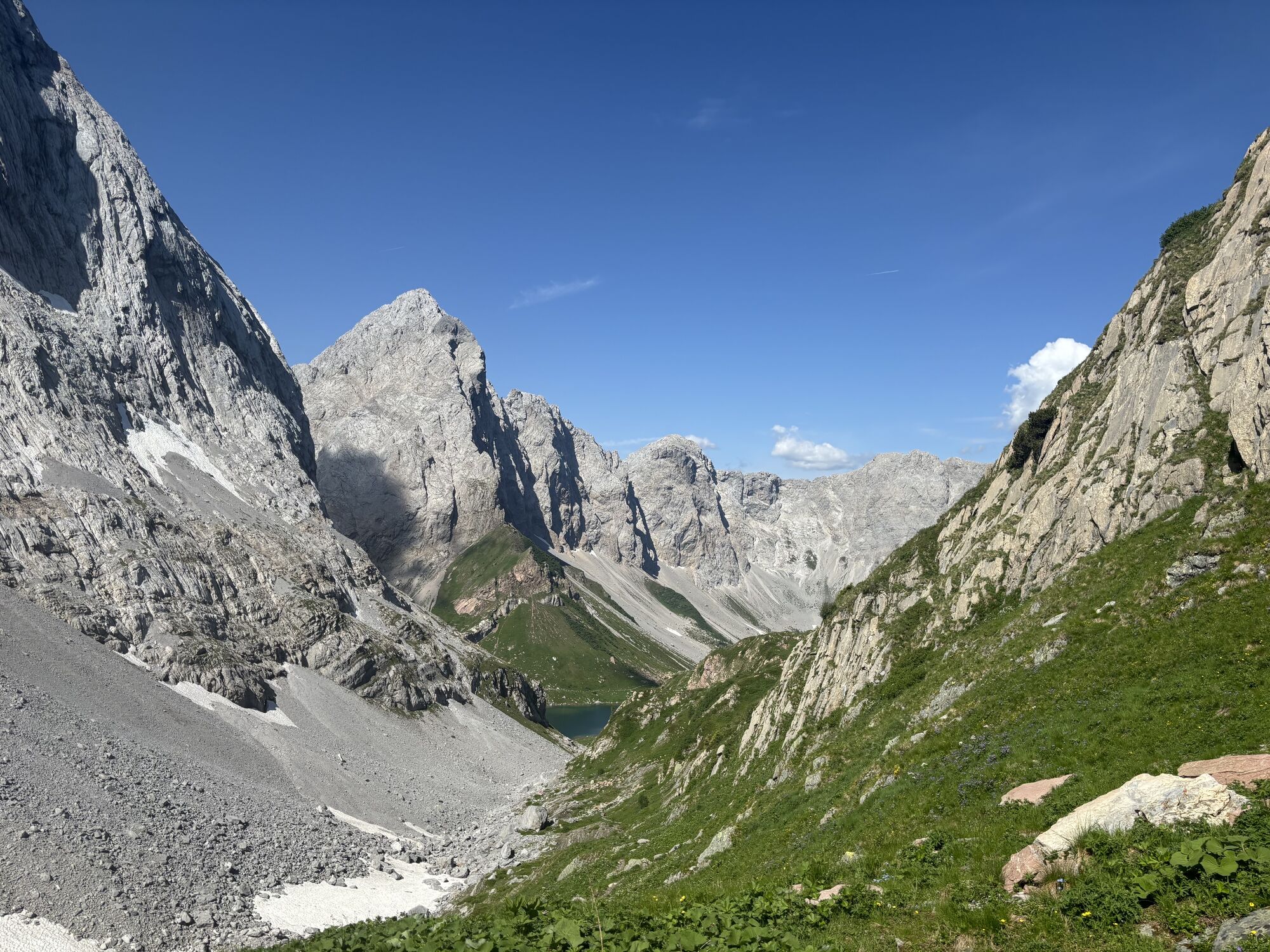
The further route leads you left along impressive rock walls (from Kellerspitze and Hohe Warte). In the ascent area – about 120 vertical meters before the Törl – the slope steepens noticeably (the first key point of the route), before you reach Valentintörl (2,144m) at the foot of the highest mountain of the Carnic Alps (Hohe Warte).
For the further ascent, you walk horizontally from the Törl towards the north (along the summer route), and climb through a steep, partly narrow gully (depending on snow conditions you may have to carry your skis here for about 30-40 vertical meters), to then arrive at the gentler, wide outcrop of Rauchkofel.
The summit ascent to the winter summit (without summit cross) goes over the steepening south flank – over which you reach the summit of Rauchkofel (2,460m) after about 300 vertical meters with some switchbacks.
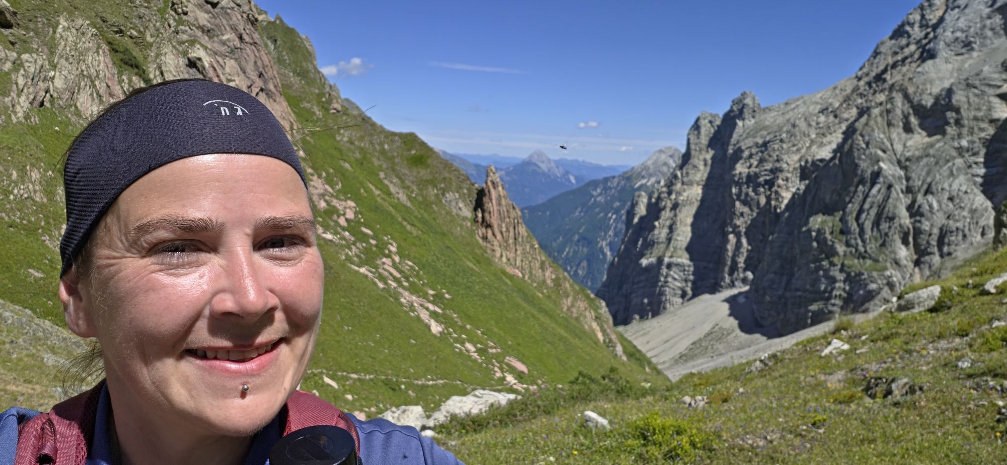
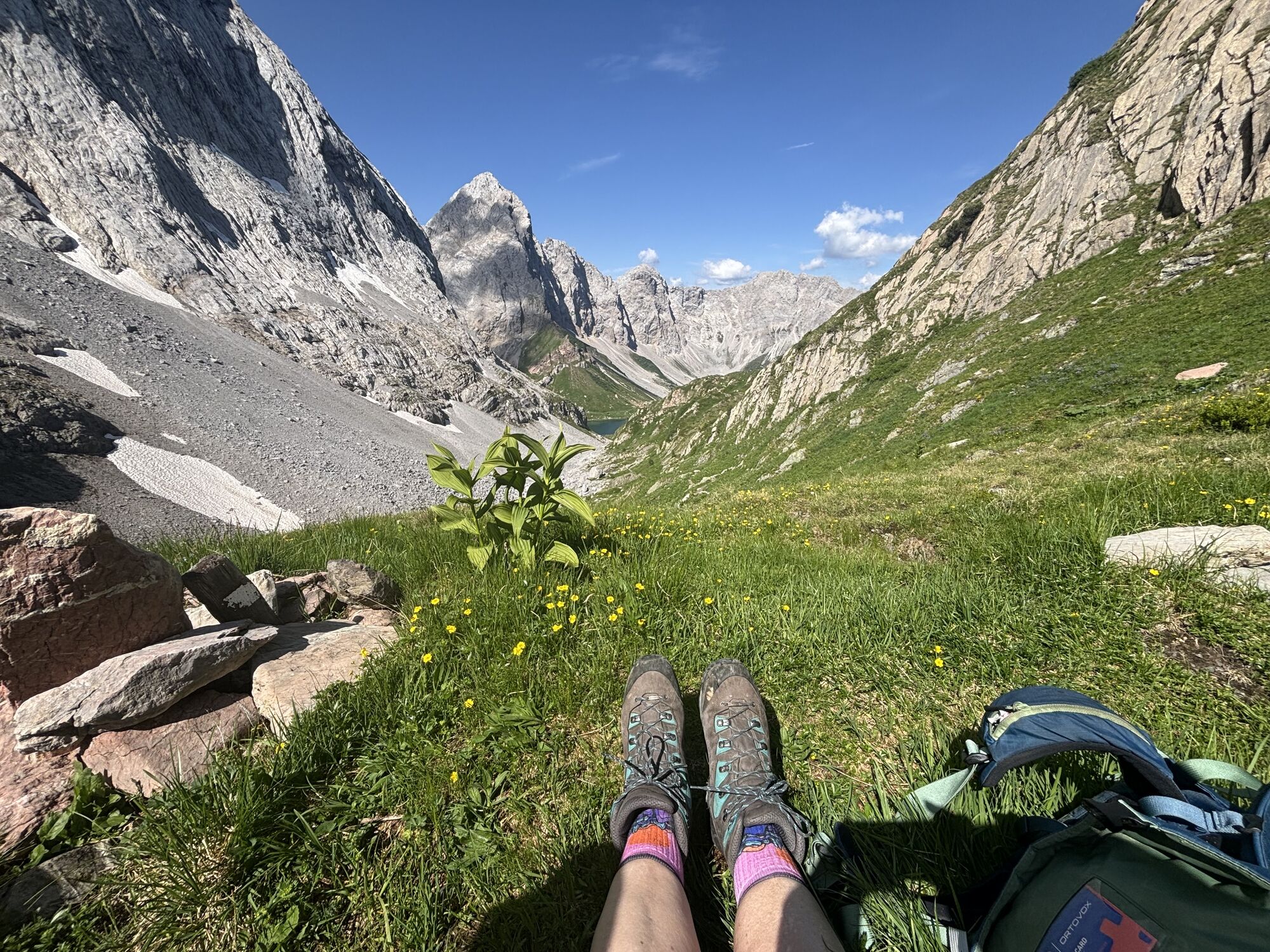
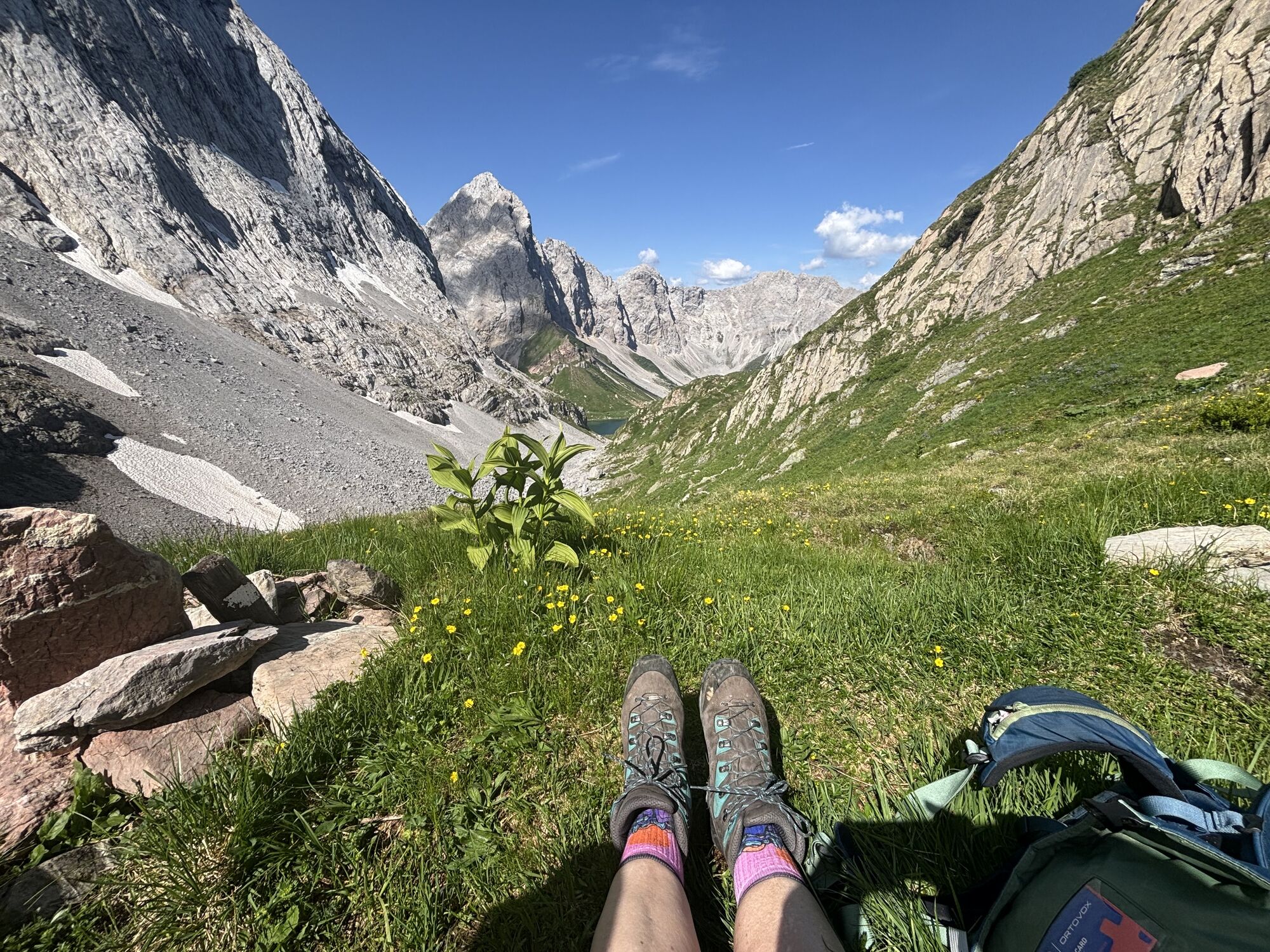
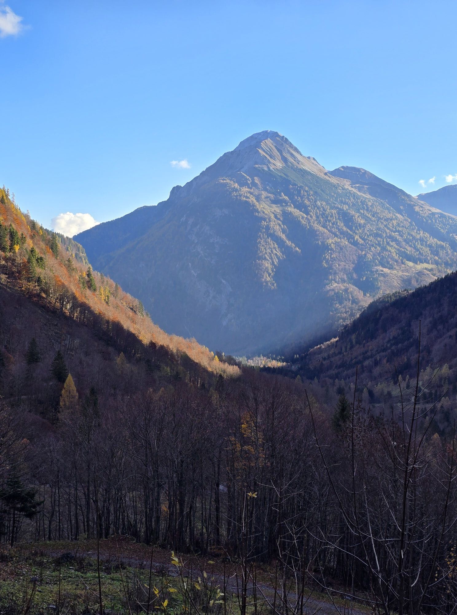
Your efforts will be rewarded with a beautiful view of the Biegen Mountains, Seekopf, Wolayersee, and the Valentintal.
Descent:
The descent follows the ascent route (including descent over the steep step – possibly a short carry section) – the time indicated includes "only" the time needed for the ascent, not the descent.
Ano
Care for nature – landowners – your health... and safety in the mountains are the highest priorities for your route and related planning!
Therefore, inform yourself before every ski route about the rules of conduct - Safety in the Mountains, as well as the current snow and avalanche report Avalanche Warning Service Carinthia and the weather situation.
Waste disposal:
Waste is not always avoidable – but it has no place in nature and must be disposed of properly (preferably in the valley or at home).
Emergency numbers:
Euro emergency number: 112 (access to every available network)
Mountain Rescue Austria: 140
Public transport:
The most sustainable way to travel is by train to Oberdrauburg (coming from Lienz or Villach) or to Hermagor (coming from Villach).
From Oberdrauburg or Hermagor you then reach the town of Kötschach-Mauthen by bus. From here there is the possibility (depending on season and availability) to use the dial-a-ride bus or a taxi to Plöckenpass.
Details at - Mobility information Nassfeld as well as Kärntner Linien route planner
Car access:
From Hermagor via B111 (Gailtal Road) or from Oberdrauburg via B110 (Plöckenpass Road) to Kötschach-Mauthen or from there towards Plöckenpass to the junction Untere Valentinalm or to the Heldenfriedhof.
Free parking is available at the Heldenfriedhof (on the way up to Plöckenpass, before the junction to Untere Valentinalm, on the left side, directly on the B110), as well as conditionally and in limited numbers directly at the barrier to the junction Untere Valentinalm.
You can find this and many other infos at - Route tips and provider information
In the town center of Kötschach-Mauthen there are numerous year-round open dining options – details at Service A-Z.
Depending on the snow conditions, the route starts as early as the B110 junction/access to Untere Valentinalm or correspondingly later at Untere Valentinalm (possibly only at Obere Valentinalm).
Part of the approach is identical to the ski route to Wodnertörl (ST_N1).
Získejte přehled
Vždy živě na místě s více než 9 500 webkamerami. bergfex Jako uživatel Pro si nyní můžete zobrazit odpovídající webové kamery pro mnoho prohlídek v aplikaci prohlídky z. Můžete si tak přímo prohlédnout aktuální podmínky.
Oblíbené prohlídky v okolí
-
4.5
Karnischer Höhenweg – Etappe 4: Hochweißsteinhaus – Wolayersee Hütte
heavydálková pěší trasa 15.9 km -
4.5
Obergail - Obergailer Alm - Obergailer Lake - Enderberg hut - Source for Health & Peace - Madonna circular hiking route - Obergail
středníTuristika 11.4 km -
4.4
Mountain bike route from the Hubertus Chapel to the Wolayersee
heavyMountainbike 9.06 km -
4.8
Karnischer Hauptkamm - Hohe Warte 2.780m - Hike and Bike
heavyHorská turistika 19.5 km -
3.7
Cellon-Stollen und Senza Confini auf den Cellon und Steinberger Weg zum Abstieg
středníVia ferrata 7.09 km -
4.6
Bread & Morende Trail
středníTuristika 11.3 km -
3.9
Circular hike Obergail - Gamskofel - Obergail Alm - Obergail
středníTuristika 13 km -
5.0
Valentin-Wolayersee-Runde
středníTuristika 12.4 km -
5.0
Plöckenhaus - Polinik - Plöckenhaus
heavyTuristika 10.9 km -
3.7
RW_N61 Kleiner Pal (1,867 m)
heavyTuristika 6.52 km
Pěší turistika a stopování


Nenechte si ujít nabídky a inspiraci pro vaši příští dovolenou
Vaše e-mailová adresa byl přidán do poštovního seznamu.





